

Free Saguaro National Park Travel Guide & Mobile App
Explore Saguaro National Park with free travel guides. Discover regional history, expert tips, proposed trips, and audio guides on web or mobile app.


Saguaro National Park surrounds Tucson with giant cacti, desert wildlife, mountain trails, scenic drives and enduring Sonoran Desert heritage.
Read more about Saguaro National Park
When is the best time to visit Saguaro National Park?
Best: March–April, October · 22–29°C| Month | High (°C) | Rainfall (mm) |
|---|---|---|
| January | 16 | 20 |
| February | 18 | 18 |
| March (best) | 22 | 17 |
| April (best) | 27 | 9 |
| May | 32 | 5 |
| June | 38 | 10 |
| July | 38 | 57 |
| August | 37 | 58 |
| September | 34 | 34 |
| October (best) | 29 | 24 |
| November | 21 | 19 |
| December | 16 | 24 |
Getting to and around Saguaro National Park
How to get there
Transportation
Top city travel guides in Saguaro National Park
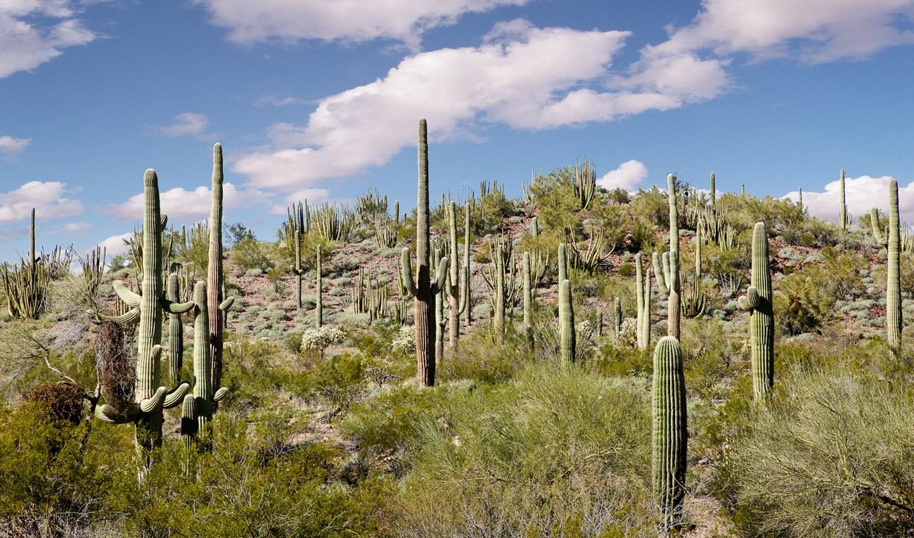
The cities of Saguaro National Park, and the easiest places to base yourself.
Swipe for more cities
Destinations in Saguaro National Park
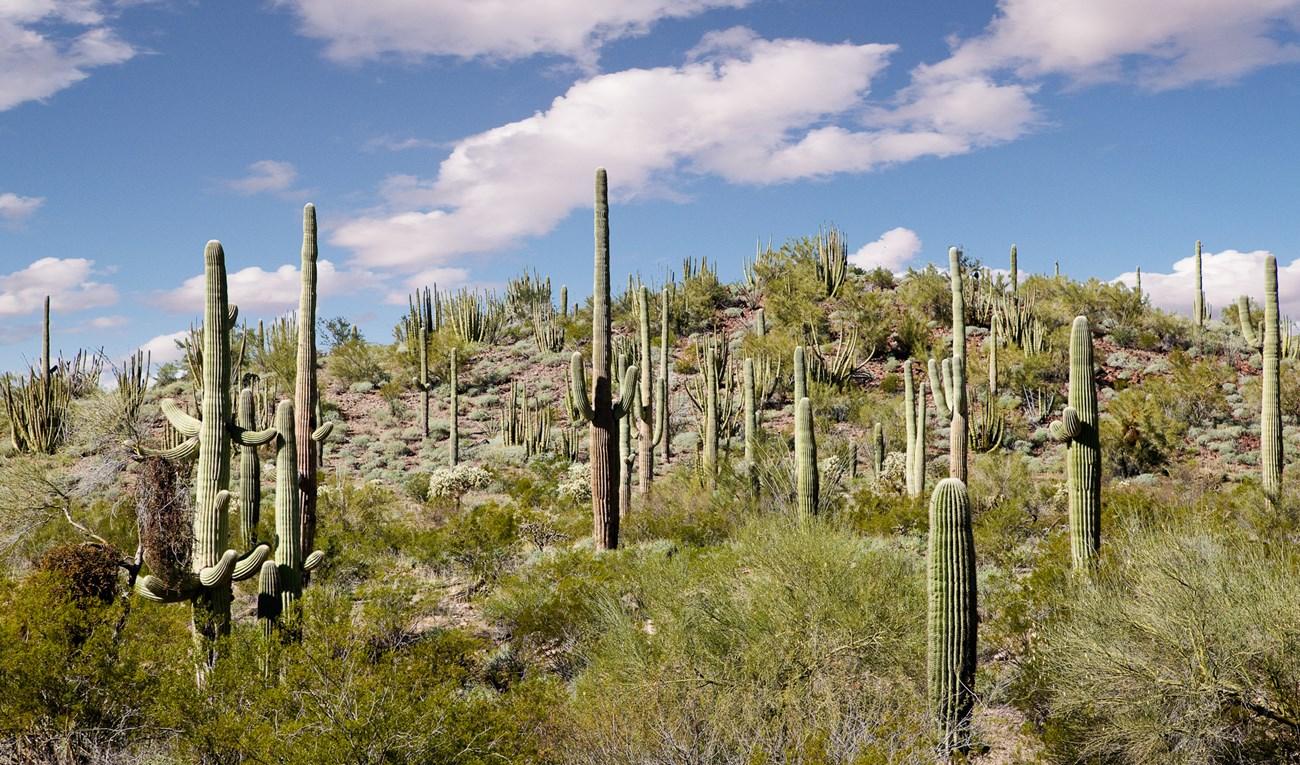
Resorts, valleys and scenic spots worth a trip of their own.
Swipe for more destinations
Best attractions in Saguaro National Park
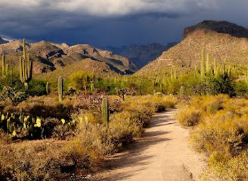
Saguaro National Park’s attractions are shaped by the contrast between open Sonoran Desert and rugged mountain country. In the Tucson Mountain District, the Bajada Loop Drive provides access to broad views, cactus forests and short walks such as Valley View Overlook, while Signal Hill combines a low desert setting with important Hohokam petroglyphs. The Rincon Mountain District is well suited to visitors seeking a longer scenic outing on Cactus Forest Drive, with pull-outs and trailheads leading into progressively higher terrain. Hiking ranges from accessible interpretive paths to demanding routes towards Wasson Peak in the west or the Rincon backcountry in the east. Birdwatching, wildflower viewing after seasonal rain and careful wildlife observation are rewarding activities, although conditions can be harsh and encounters unpredictable. Historic traces, including the Freeman Homestead, add a human dimension to the landscape. The park has no conventional amusement attractions or in-park accommodation; its appeal lies in geology, ecology, cultural heritage, desert photography and the gradual transition from cactus-dominated flats to cooler mountain vegetation.
-
Natural history museum
Arizona-Sonora Desert Museum
Experience the enchanting blend of nature, art, and wildlife at the Arizona-Sonora Desert Museum, a must-visit destination in Tucson, Arizona.
-
Reid Park Zoo
Experience wildlife up close at Reid Park Zoo, Tucson's premier family-friendly attraction offering unforgettable adventures and educational encounters.
-
Gene C. Reid Park
Experience the beauty and recreation of Gene C. Reid Park, a must-visit urban oasis in Tucson, perfect for families and nature enthusiasts.
-
Park
Sabino Canyon Recreation Area
Explore the stunning landscapes and rich biodiversity of Sabino Canyon Recreation Area in Tucson, Arizona, a paradise for outdoor enthusiasts and nature lovers.


Best landmarks in Saguaro National Park
The giant saguaro itself is Saguaro National Park’s defining natural landmark: its branching silhouettes, ribbed trunks and immense scale express the character of the Sonoran Desert, although individual plants vary greatly in form and age. In the west, Signal Hill is both a low rocky prominence and an important cultural landmark because its rock surfaces carry Hohokam petroglyphs. Wasson Peak, the highest point of the Tucson Mountain District, forms a prominent western skyline and a demanding hiking destination. In the east, Mica Mountain rises within the Rincon Mountains and marks the park’s transition from cactus forest towards cooler upland environments. The Cactus Forest Drive is a landmark route in its own right, tracing the contours of the eastern district through dense stands of desert vegetation. The Freeman Homestead remains a tangible reminder of early twentieth-century ranching, while the Rincon Mountain backdrop gives the eastern park a distinctly more mountainous character than the open western district.
-
Natural history museum
Arizona-Sonora Desert Museum
Explore the Sonoran Desert's beauty: zoo, botanical garden, aquarium, and museum all in one. Open daily!
-
Zoo
Reid Park Zoo
Discover wildlife from around the world at Reid Park Zoo in Tucson, Arizona. Conservation, education, and fun for all ages!
-
Museum
Pima Air & Space Museum
Explore aviation history at the Pima Air & Space Museum, featuring nearly 400 aircraft from the Wright Flyer to the 787 Dreamliner.
-
Park
Sabino Canyon Recreation Area
Explore a stunning desert canyon with hiking, wildlife, and scenic views in Tucson's Santa Catalina Mountains.


Explore Saguaro National Park on the map
Plan your trip on one map. See where the top cities, national parks and sights are, and book hotels and experiences in a few clicks.
Best hotels in Saguaro National Park
Best restaurants in Saguaro National Park
Saguaro National Park has no restaurants, cafés or food shops within its boundaries, so visitors should carry food and water and use Tucson, outside the park, for the widest choice. The city’s dining culture reflects southern Arizona’s position near the Mexican border, with regional Mexican dishes, Sonoran-style food, flour tortillas, tacos, roasted meats and spicy salsas widely represented. Family-run Mexican restaurants, taquerias, bakeries, cafés, breweries and contemporary restaurants are more practical before or after a park excursion than attempting to find food near a remote trailhead. The broader region also has strong traditions of desert agriculture, including beans, maize, squash and locally grown produce, while the influence of Indigenous Tohono O'odham foodways remains important to Arizona’s culinary identity. Picnicking is a sensible option, but visitors should pack carefully, avoid leaving food in vehicles during extreme heat and take all rubbish away. Water is more important than elaborate provisions in this demanding environment.
-
American
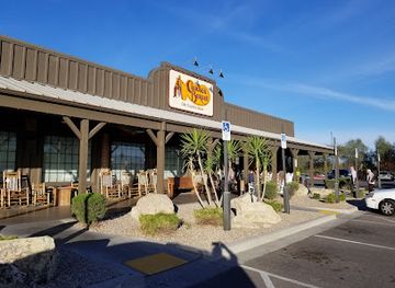
Cracker Barrel Old Country Store
Discover the charm of Southern dining at Cracker Barrel Old Country Store in Tucson - where comfort food meets nostalgia.
-
Culinary Dropout
Experience vibrant American cuisine at Culinary Dropout in Tucson—where great food meets live entertainment.
-
Hamburger
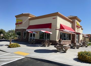
In-N-Out Burger
Experience the iconic taste of In-N-Out Burger in Tucson - famous for its fresh ingredients and mouthwatering burgers.
-
Diner
Little Anthony's Diner
Discover the charm of Little Anthony's Diner in Tucson - where classic American comfort food meets delightful ice cream indulgence.


Best bars in Saguaro National Park
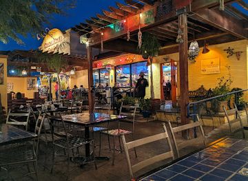
There is no nightlife inside Saguaro National Park, and evening visits are governed by darkness, wildlife awareness and the need to travel safely rather than by entertainment venues. Most visitors stay in Tucson, outside the park, where the evening scene includes neighbourhood pubs, breweries, cocktail bars, restaurants, live-music venues and a modest selection of late-night establishments. Central Tucson and areas around the University of Arizona provide the broadest concentration of bars and music, while nightlife elsewhere is more dispersed. Desert communities near the park tend towards restaurants and relaxed licensed venues rather than a purpose-built club district. After sunset, drivers should watch carefully for wildlife, avoid stopping on narrow roads and allow extra time for the journey back to accommodation. Checking current opening arrangements is sensible because commercial nightlife changes more quickly than the park’s natural attractions.
-
Mexican
Guadalajara Fiesta Grill
Experience authentic Mexican cuisine at Guadalajara Fiesta Grill in Tucson, where vibrant flavors meet a welcoming atmosphere.
-
Restaurant
Colossal Cave Mountain Park
Explore the enchanting Colossal Cave Mountain Park, where adventure awaits in Arizona's picturesque desert landscape.
-
Restaurant
The Oink Cafe
Experience the best of Tucson's brunch scene at The Oink Cafe, where delicious meals and a vibrant atmosphere await.
-
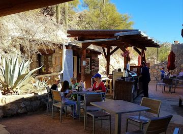
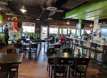
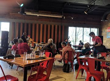
Bar
Brother John's Beer Bourbon & BBQ
Experience Tucson's vibrant culinary scene at Brother John's Beer Bourbon & BBQ, where smoky flavors and craft beverages come together in a lively atmosphere.
Best nightclubs in Saguaro National Park
-
Bar
Sky Bar Tucson
Discover Sky Bar Tucson, where stunning rooftop views, live music, and a vibrant atmosphere combine for an unforgettable night out in Arizona.
-
Bar
The Hut
Experience the vibrant nightlife of Tucson at The Hut, a lively bar with creative cocktails, games, and a welcoming atmosphere.
-
Bar
Che's Lounge
Discover the lively ambiance and friendly vibes of Che's Lounge in Tucson, where great drinks and good times await.
-
Night club
Surly Wench Pub
Discover the lively Surly Wench Pub in Tucson, where great food, live music, and a fun atmosphere come together for an unforgettable night out.




Best shops in Saguaro National Park
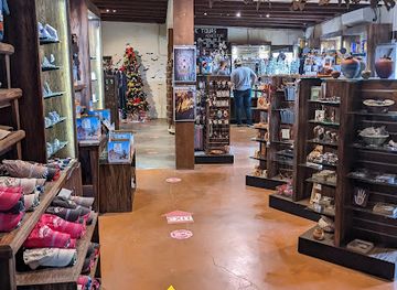
There is no conventional shopping inside Saguaro National Park, and visitors should obtain food, water, fuel and hiking supplies in Tucson, outside the park, before heading to remote trailheads. Tucson’s independent shops, galleries and markets provide opportunities to buy regional food products, books, artwork, pottery, jewellery and desert-themed crafts. Visitors should distinguish genuinely local work from generic Southwestern souvenirs, and should never purchase archaeological objects, protected plants or illegally collected cactus material. Farmers’ markets and specialist food shops may offer products associated with southern Arizona, including chilli-based goods, beans, tortillas and locally grown produce, although market locations and schedules change. Park visitor facilities may carry interpretive publications and modest souvenirs when open, but they are not retail centres. For a practical memento, field guides, maps, locally produced art or a book about Sonoran Desert ecology is more useful than collecting natural objects from the park.
-
Shopping mall
Park Place Mall
Explore Park Place Mall, Tucson's premier shopping and dining destination, offering an eclectic mix of stores and delightful eateries for every taste.
-
Used book store
Bookmans East Entertainment Exchange
Discover a unique blend of used books, musical instruments, and video games at Bookmans East Entertainment Exchange in Tucson, Arizona.
-
Gift shop
Colossal Cave Mountain Park
Explore the breathtaking caves and scenic trails of Colossal Cave Mountain Park, a natural wonder in Arizona perfect for adventure seekers.
-
Shopping mall
Main Gate Square
Explore vibrant shopping and dining at Main Gate Square, a cultural hub in Tucson, Arizona, perfect for tourists and locals seeking entertainment.



Get your free copy of our complete guide to Saguaro National Park, delivered straight to you.
Everything on this page, from attractions and restaurants to essentials and local phrases, in one PDF you can read offline, print or share.
Already have an account? Sign in
Your Saguaro National Park guide is ready.
We'll send it to · Not you? Sign out

Getting your guide ready…
We are putting together a fresh copy of the Saguaro National Park guide. This can take up to a minute.
This can take a few moments. If your browser asks, choose Allow so the download can start. You'll find the guide in your Downloads folder.
Nothing happened? Download it again
Sorry, the guide is taking longer than usual. Please try again in a minute, or get it by email instead.
Saguaro National Park essentials
Currency and Payment
Safety
Emergency Situations
Do's and Don'ts
Local Tips
From Eve
Local phrases worth knowing
You don't need to get them perfect. A few words go a long way, and locals appreciate the effort.
Basics
| English | Local | Say it |
|---|---|---|
| Hello | Hola | [OH-lah] |
| Goodbye | Adiós | [ah-DYOS] |
| Yes | Sí | [SEE] |
| No | No | [NO] |
| Please/You’re welcome | Por favor/De nada | [por fah-VOR/deh NAH-dah] |
| Thank you | Gracias | [GRAH-syahs] |
| Excuse me/Sorry | Perdón | [pehr-DON] |
| How are you? | ¿Cómo estás? | [KOH-moh ehs-TAHS] |
| Fine. And you? | Bien. ¿Y tú? | [BYEN. ee TOO] |
| Do you speak English? | ¿Hablas inglés? | [AH-blahs een-GLES] |
| I don't understand | No entiendo | [NO en-TYEN-doh] |
Eating & Drinking
| English | Local | Say it |
|---|---|---|
| I’d like to see the menu, please | Me gustaría ver el menú, por favor | [meh goos-tah-REE-ah BEHR el meh-NOO, por fah-VOR] |
| I don't eat meat | No como carne | [NO KOH-moh KAR-neh] |
| Cheers! | ¡Salud! | [sah-LOOD] |
| I would like to pay, please | Me gustaría pagar, por favor | [meh goos-tah-REE-ah pah-GAR, por fah-VOR] |
Emergencies
| English | Local | Say it |
|---|---|---|
| Help! | ¡Ayuda! | [ah-YOO-dah] |
| Go away! | ¡Vete! | [VEH-teh] |
| Call the Police! | ¡Llama a la policía! | [YAH-mah ah lah poh-lee-SEE-ah] |
| Call a doctor! | ¡Llama a un médico! | [YAH-mah ah oon MEH-dee-koh] |
| I’m lost | Estoy perdido | [es-TOY pehr-DEE-doh] |
| I’m ill | Estoy enfermo | [es-TOY en-FER-mo] |
Shopping
| English | Local | Say it |
|---|---|---|
| I’d like to buy... | Me gustaría comprar... | [meh goos-tah-REE-ah kohm-PRAR] |
| I’m just looking | Solo estoy mirando | [SOH-lo es-TOY mee-RAN-doh] |
| How much is it? | ¿Cuánto cuesta? | [KWAN-toh KWES-tah] |
| That’s too expensive | Eso es demasiado caro | [EH-so es deh-mah-SYA-do KAH-ro] |
| Can you lower the price? | ¿Puedes bajar el precio? | [PWEH-des bah-HAR el PREH-syo] |
Time & Numbers
| English | Local | Say it |
|---|---|---|
| What time is it? | ¿Qué hora es? | [KEH OH-rah es] |
| It's one o'clock | Es la una | [es lah OO-nah] |
| Half past (10) | Y diez y media | [ee DYAS ee MEH-dee-ah] |
| Morning | Mañana | [mah-NYAH-nah] |
| Afternoon | Tarde | [TAR-deh] |
| Evening | Noche | [NOH-cheh] |
| Yesterday | Ayer | [ah-YER] |
| Today | Hoy | [OY] |
| Tomorrow | Mañana | [mah-NYAH-nah] |
| 1 | Uno | [OO-no] |
| 2 | Dos | [DOS] |
| 3 | Tres | [TRES] |
| 4 | Cuatro | [KWA-tro] |
| 5 | Cinco | [SEEN-koh] |
| 6 | Seis | [SAYS] |
| 7 | Siete | [SYEH-teh] |
| 8 | Ocho | [OH-cho] |
| 9 | Nueve | [NWEH-beh] |
| 10 | Diez | [DYAS] |
Transport & Directions
| English | Local | Say it |
|---|---|---|
| Where's a/the...? | ¿Dónde está un/una...? | [DON-deh es-TAH oon/OO-nah] |
| What's the address? | ¿Cuál es la dirección? | [KWAL es lah dee-rek-SYON] |
| Can you show me (on the map)? | ¿Puedes mostrarme (en el mapa)? | [PWEH-des mos-TRAR-meh en el MAH-pah] |
| When's the next (bus)? | ¿Cuándo es el próximo (autobús)? | [KWAN-doh es el PROK-see-mo (ow-toh-BOOS)] |
| A ticket (to ....) | Un boleto (a ....) | [OON bo-LEH-toh ah] |
History of Saguaro National Park
Hohokam Landscapes and Rock Art
Indigenous communities associated with the Hohokam cultural tradition used the Tucson Basin and surrounding mountains for farming, travel and gathering long before the national park was created. Although many archaeological traces are subtle, rock art at Signal Hill in the Tucson Mountain District provides visible evidence of earlier human activity. The petroglyphs should be understood as cultural heritage rather than decoration, and their meanings are not always known. Later Indigenous peoples, including the Tohono O'odham, retain enduring cultural connections with the Sonoran Desert.
Spanish and Mexican-Era Borderlands
The desert around present-day Tucson became part of a broader Spanish and later Mexican borderlands region during the eighteenth and early nineteenth centuries. Missions, presidios, ranching and Indigenous trade shaped movement through southern Arizona, although the park itself was never a densely settled colonial centre. After Mexican independence, the area remained part of Mexico until the nineteenth-century political changes that transferred much of present-day Arizona to the United States. These layered histories continue to influence the cultural setting of the park.
American Settlement and Ranching
Following the expansion of the United States into southern Arizona, miners, ranchers and other settlers increasingly used the Tucson Basin and the Rincon and Tucson mountain ranges. Water was scarce, travel was difficult and cattle ranching left a particularly visible mark on the landscape. Historic ranch remains in the park, including the Freeman Homestead in the east district, illustrate the modest scale and demanding conditions of desert settlement. Ranching also contributed to ecological pressures that later encouraged stronger conservation measures.
Saguaro National Monument, 1933
President Herbert Hoover established Saguaro National Monument in 1933 to protect representative stands of the giant cactus and their surrounding desert landscape. The original protected area centred on the Tucson Mountain District, reflecting growing concern that road building, settlement and collecting could damage the region’s characteristic cactus forests. During the New Deal era, public works and conservation programmes helped improve access and facilities across many American protected areas, laying foundations for later visitor infrastructure.
The Rincon District and Conservation Expansion
The eastern side of the Tucson Basin received federal protection as part of the Saguaro National Monument in 1961, bringing the Rincon Mountain landscape into the protected system. Its inclusion recognised that saguaro habitat could not be understood only as low desert scenery: elevation, watersheds, wildlife corridors and mountain ecosystems were equally important. The two districts remain geographically separate, but together they protect a broad ecological gradient from hot desert flats to cooler upland slopes.
National Park Designation, 1994
Saguaro National Monument became Saguaro National Park in 1994, acknowledging the national significance of its landscapes, ecological diversity and cultural resources. The designation strengthened the park’s identity as a place requiring active stewardship rather than simply a scenic cactus reserve. Modern management addresses visitor use, fire, invasive species, climate stress, wildlife habitat and the protection of archaeological and historic sites. The park’s continuing importance lies in conserving a desert ecosystem immediately beside a growing metropolitan area.
Saguaro National Park in Photos
Browse through our photo collection highlighting the charm and character of the destination.
Neighbouring regions of Saguaro National Park
The closest regions to Saguaro National Park, if you have time for more than one.
-
-
-

-

-


Swipe for more regions
Explore more

Explore more of Arizona
Discover Arizona: From the majestic Grand Canyon and red rocks of Sedona to the vibrant cities of Phoenix and Scottsdale, explore the diverse beauty and culture of the Grand Canyon State.
Explore Arizona