
Discover the Heart of Victoria: The Geographical Centre
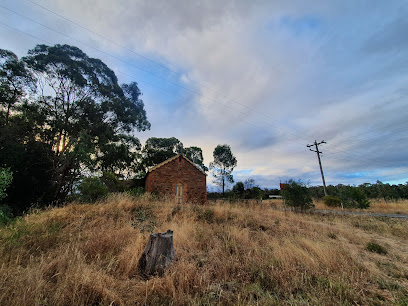
Explore the Geographical Centre of Victoria, a historical landmark offering insights into the state's rich heritage and stunning landscapes.
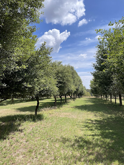
The Geographical Centre of Victoria is a captivating historical landmark situated in Mandurang. This unique location marks the very center of the state, offering visitors a glimpse into Victoria's rich heritage and stunning landscapes. Surrounded by picturesque scenery, it's a perfect spot for tourists seeking both relaxation and exploration.
A brief summary to Geographical Centre of Victoria
- 13 Hollidays Rd, Mandurang, Victoria, 3551, AU
Local tips
- Visit at sunrise or sunset for breathtaking views and ideal lighting for photography.
- Bring a picnic to enjoy in the scenic surroundings, as there are plenty of spots to relax.
- Wear comfortable shoes for walking, as the area is best explored on foot.
- Check local weather conditions before your visit, as the area can experience sudden changes in weather.
Getting There
-
Car
If you are driving from Bendigo, head southeast on the Calder Highway (M79) towards the city. Take the exit toward Mandurang and continue on Mandurang Rd. Follow the signs to Hollidays Rd. Turn left onto Hollidays Rd and continue for approximately 2.5 kilometers. The Geographical Centre of Victoria will be on your right at 13 Hollidays Rd, Mandurang VIC 3551. Ensure your vehicle is fueled up, as there may not be immediate petrol stations nearby.
-
Public Transportation
To reach the Geographical Centre of Victoria using public transportation, first take a bus from Bendigo's central bus station to Mandurang. Check the local bus schedule as services may be limited. Once you arrive in Mandurang, you can either walk (approximately 2 km) to Hollidays Rd or arrange a taxi to take you directly to 13 Hollidays Rd. Be aware that taxi services may need to be booked in advance, and there could be additional costs involved.
-
Taxi or Rideshare
If you prefer a direct route without public transit, consider taking a taxi or rideshare service (like Uber) from Bendigo to the Geographical Centre of Victoria. Simply input the destination '13 Hollidays Rd, Mandurang VIC 3551' in your app. The journey should take about 20 minutes, and the fare will vary, so ensure to check estimated costs in the app before booking.
Discover more about Geographical Centre of Victoria
Iconic landmarks you can’t miss
Geographical Centre of Victoria
0.0 km
Explore the Geographical Centre of Victoria, a historical landmark offering insights into the state's rich heritage and stunning landscapes.
Discovery Science & Technology Centre
6.6 km
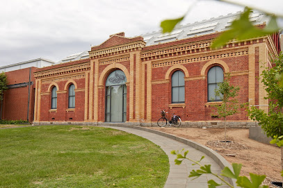
Explore, learn, and engage at the Discovery Science & Technology Centre in Bendigo – a family-friendly science museum and planetarium experience.

Bendigo Art Gallery
7.5 km
Explore Bendigo Art Gallery, a premier art destination showcasing a rich collection of historical and contemporary works in Victoria.
Poppet Head Lookout
7.6 km
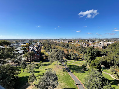
Discover stunning panoramic views of Bendigo's historic landmarks and natural beauty at Poppet Head Lookout, a must-visit observation deck.
Fortuna Villa
7.6 km
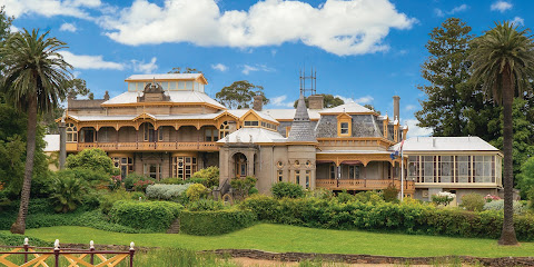
Experience the elegance of Fortuna Villa, a historical hotel in Bendigo that combines luxury with rich cultural heritage, perfect for discerning travelers.
Sandhurst Gaol
7.8 km
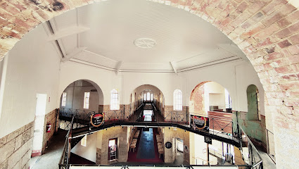
Explore the captivating history of Sandhurst Gaol, a museum that reveals the intriguing tales of inmates and Australia's penal past in Bendigo, Victoria.
Bendigo Joss House Temple
9.3 km
Discover the tranquility and cultural richness of Bendigo Joss House Temple, a historic site celebrating Chinese spirituality and heritage.

Bendigo Pottery
13.0 km
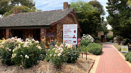
Explore Bendigo Pottery, Australia's oldest working pottery, and immerse yourself in a world of craftsmanship and artistic heritage.
The Great Stupa of Universal Compassion
14.9 km
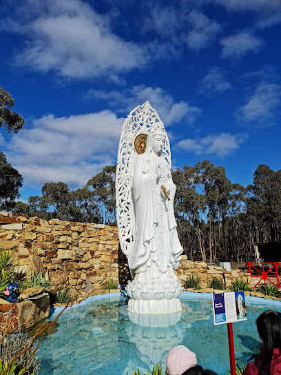
Discover tranquility and cultural richness at The Great Stupa of Universal Compassion in Victoria, a serene Buddhist temple and cultural center.
Heathcote Visitor Centre
38.7 km
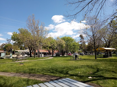
Explore Heathcote's charm at its Visitor Centre, your essential hub for local attractions, history, and unique experiences.
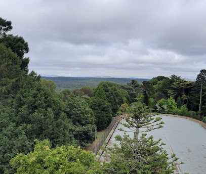
Pioneer Memorial Tower
59.2 km
Explore the Pioneer Memorial Tower in Daylesford, a historic landmark offering stunning views and a glimpse into Victoria's rich heritage.
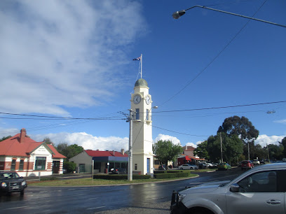
Woodend Clock Tower
62.8 km
Explore the Woodend Clock Tower - a stunning historical landmark in Victoria that beautifully blends community spirit with timeless charm.
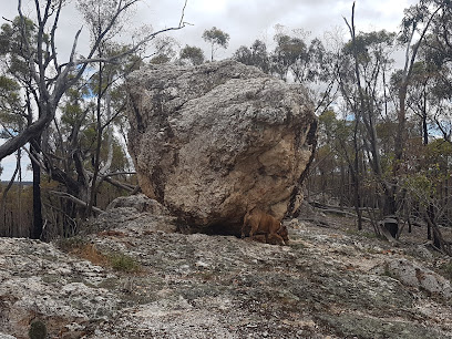
Quartz Mountain
69.7 km
Explore the breathtaking landscapes and diverse wildlife at Quartz Mountain, a top tourist attraction in Victoria, Australia. Nature awaits you!
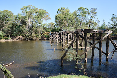
Old Goulburn Bridge
76.1 km
Discover the timeless elegance of the Old Goulburn Bridge, a historical landmark in Seymour, Victoria, rich in stories and scenic beauty.
Black Cat Truffles by Liam Downes
78.3 km
Experience the enchanting world of gourmet truffles at Black Cat Truffles in Victoria, where culinary art meets nature's finest flavors.
Unmissable attractions to see
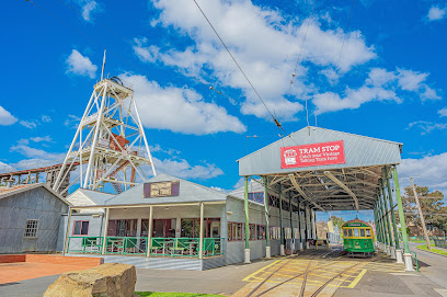
Central Deborah Gold Mine
6.8 km
Explore the depths of Bendigo's rich gold mining history at Central Deborah Gold Mine, a captivating attraction for all ages.
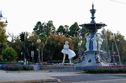
Alexandra Fountain
7.2 km
Discover the enchanting Alexandra Fountain in Bendigo, a historical landmark that beautifully showcases the city's rich heritage and vibrant community spirit.
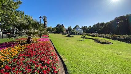
Conservatory Gardens
7.5 km
Explore the enchanting Conservatory Gardens in Bendigo, a floral paradise perfect for relaxation and scenic strolls amidst nature's beauty.
Rosalind Park
7.5 km
Explore Rosalind Park, a lush urban oasis in Bendigo, offering scenic beauty, historic charm, and endless recreational opportunities for every traveler.
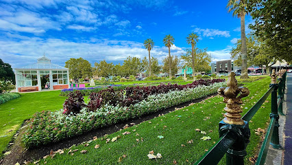
Golden Dragon Museum
7.6 km
Discover Bendigo's vibrant Chinese heritage at the Golden Dragon Museum, featuring stunning artifacts, lush gardens, and cultural events.
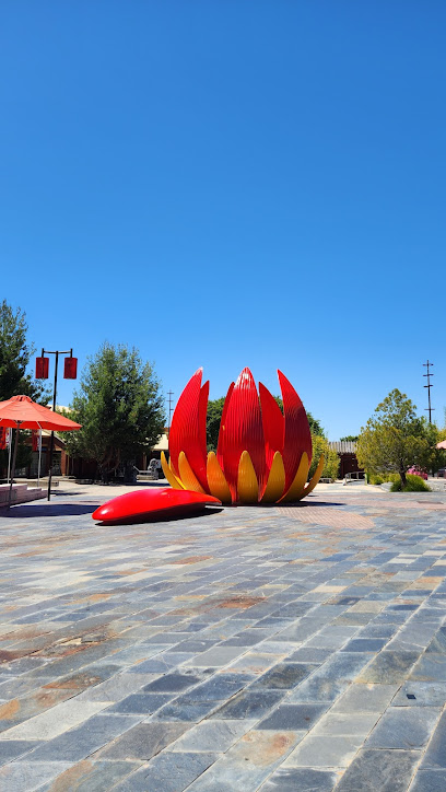
Bendigo Tramways
7.7 km
Discover Bendigo's golden past on a vintage tram. A unique heritage experience showcasing the city's history and landmarks.
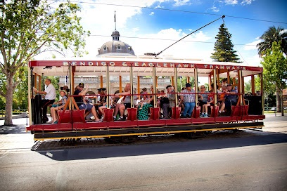
Victoria Hill Mining Reserve
8.0 km
Explore the Victoria Hill Mining Reserve, where history and nature intertwine, revealing the story of Australia's gold rush in a picturesque setting.
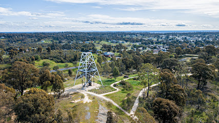
Lang's Lookout
18.5 km
Experience the stunning natural beauty and panoramic views at Lang's Lookout in Harcourt North, Victoria, a must-visit for nature lovers and photographers.
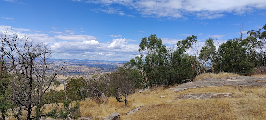
Mount Alexander Regional Park
19.4 km
Explore the beauty and history of Mount Alexander Regional Park, a stunning natural haven in Victoria, Australia, perfect for outdoor adventures and wildlife spotting.
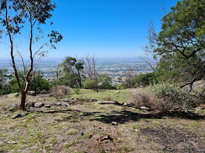
Old Tom Mine
20.4 km
Explore Old Tom Mine, a hidden historical gem in Whipstick, Victoria, where nature and mining history converge for a unique adventure.
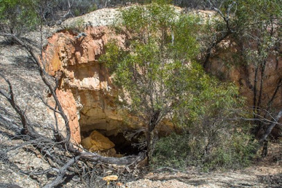
Dog Rocks
20.6 km
Explore the breathtaking rock formations of Dog Rocks in Faraday, Victoria, a must-visit natural wonder for adventurous travelers and nature lovers.
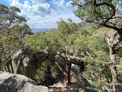
Castlemaine Botanical Gardens
26.5 km
Experience the tranquility and beauty of Castlemaine Botanical Gardens, a picturesque oasis in Victoria featuring diverse flora and rich history.
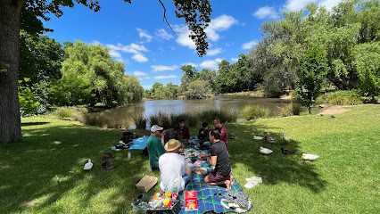
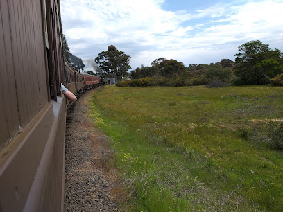
Victorian Goldfields Railway
27.6 km
Experience the charm of the Victorian Goldfields Railway and take a scenic journey through Australia's gold mining history.
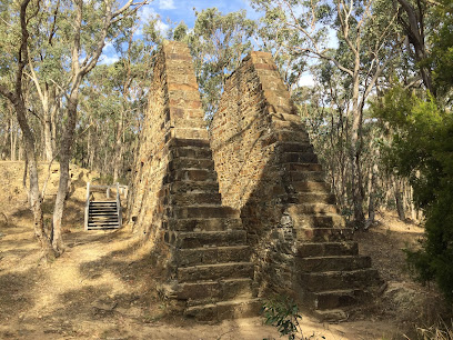
Garfield Water Wheel
27.8 km
Explore the remains of the Garfield Water Wheel, once the largest in the southern hemisphere, in Chewton's gold rush landscape.
Maldon Museum and Archives Association
27.9 km
Explore the rich history of Maldon at the Maldon Museum, showcasing the town's heritage through fascinating exhibits and engaging artifacts.

Essential places to dine
Golden Nugget Restaurant
25.7 km
Experience exceptional dining at Golden Nugget Restaurant in Maldon – where local flavors meet warm hospitality.

Chauncy
38.1 km
Discover Chauncy in Heathcote - where fresh local ingredients meet exceptional dining experiences.
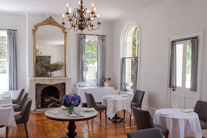
The Argus Dining Room
56.0 km
Experience fine dining at The Argus Dining Room in Hepburn Springs - where seasonal flavors meet elegant ambiance.
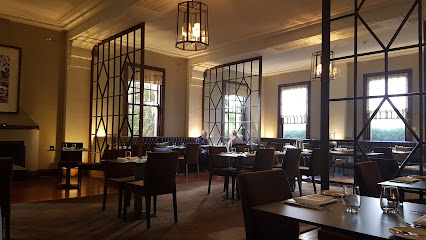
The Virgin Kitchen
56.5 km
Experience delightful meals and warm hospitality at The Virgin Kitchen in Hepburn Springs - perfect for breakfast or lunch.
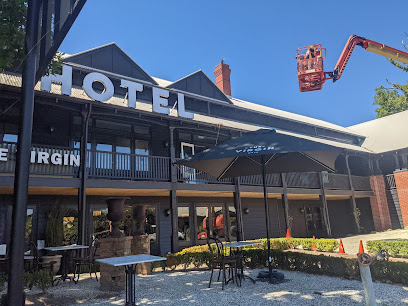
Lake House
60.1 km
Experience culinary artistry at Lake House in Daylesford—where fine dining meets luxury accommodation amidst stunning lakeside views.

Du Fermier
62.9 km
Discover exquisite seasonal dishes at Du Fermier in Trentham - where local produce meets culinary artistry.
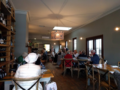
Sault Restaurant Daylesford
65.7 km
Discover Sault Restaurant in Daylesford - where fine dining meets breathtaking natural beauty in Victoria's picturesque landscapes.
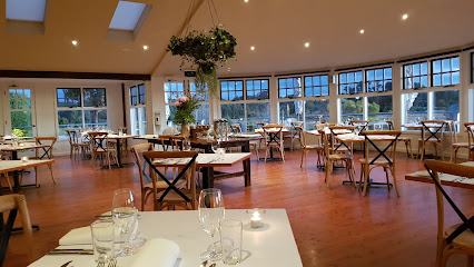
Tahbilk Estate Restaurant
70.5 km
Experience culinary excellence amidst picturesque vineyards at Tahbilk Estate Restaurant in Nagambie, Victoria.
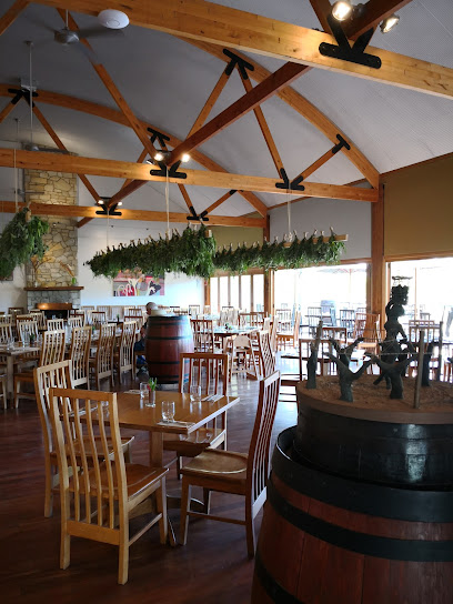
The Winery Kitchen
76.2 km
Experience authentic Italian cuisine at The Winery Kitchen in Seymour - where every meal tells a story of flavor and tradition.
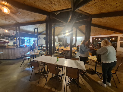
Morrisons Winery and Restaurant
88.4 km
Experience exquisite dining at Morrisons Winery and Restaurant in Moama - where local flavors meet fine wines amidst stunning vineyard views.
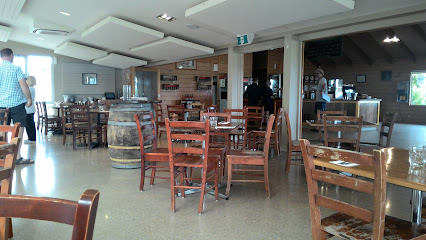
The Grove at Hidden Valley Resort
88.8 km
Discover the flavors of Australia at The Grove Bistro in Hidden Valley Resort - where culinary excellence meets stunning natural beauty.
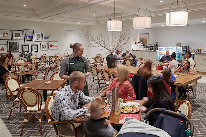
Murray River Tea Rooms
89.1 km
Experience cozy dining at Murray River Tea Rooms with delicious breakfast options and stunning views along the picturesque Murray River.

Junction Moama
89.1 km
Discover Junction Moama: A lively bar and restaurant offering exquisite drinks and delectable cuisine in the heart of New South Wales.
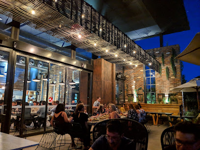
Restaurant Lola
90.4 km
Experience exquisite dining at Restaurant Lola in Ballarat - where local flavors meet exceptional service in a vibrant atmosphere.

Boatshed Restaurant
90.5 km
Experience exquisite dining at Boatshed Restaurant with stunning views over Lake Wendouree – perfect for breakfast, brunch, lunch or evening cocktails.

Markets, malls and hidden boutiques
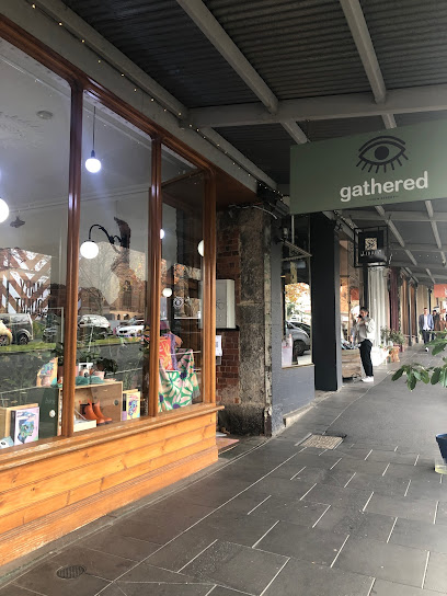
Gathered
7.4 km
Discover unique gifts and homewares at Gathered, Bendigo's premier gift shop, showcasing local artisans and quality craftsmanship.
Castlemaine Vintage Bazaar
26.9 km
Immerse yourself in nostalgia at Castlemaine Vintage Bazaar, a treasure trove of antiques and vintage finds in Castlemaine, Victoria.

Rutherford&Maine
38.7 km
Explore Rutherford&Maine in Heathcote for unique gifts and local crafts, capturing the essence of Victoria's vibrant culture.

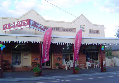
Fusspots at Inglewood
47.0 km
Explore unique antiques and collectibles at Fusspots at Inglewood, a hidden gem in Victoria's charming town of Inglewood.
Country Habit
48.9 km
Explore the charming Country Habit, a must-visit clothing store in Kyneton offering unique styles and a cozy shopping experience.

Aussie Outback Store
53.9 km
Discover the Aussie Outback Store in Maryborough, Victoria, for all your camping needs and experience the beauty of Australia’s wilderness.

Goldfields Shopping Centre
55.1 km
Discover a shopping paradise at Goldfields Shopping Centre in Maryborough, offering diverse shops, dining options, and family-friendly amenities.

Salvos Stores Daylesford
59.1 km
Explore the charm of Salvos Stores Daylesford, your go-to op shop for unique finds and sustainable shopping in Victoria.

Manteau Noir
59.2 km
Explore Manteau Noir, a delightful shop in Daylesford, offering unique local products that capture the essence of this beautiful region.

eCasa
59.4 km
Explore eCasa, Daylesford’s charming gift shop, offering unique treasures and local artisan creations in a vibrant setting.
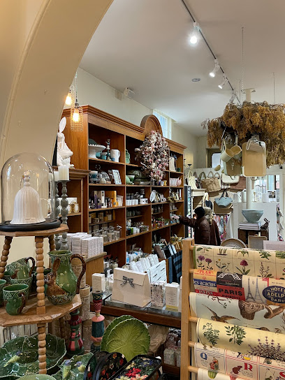
The Amazing Mill Markets - Daylesford
59.4 km
Uncover vintage treasures and unique antiques at The Amazing Mill Markets in Daylesford, a must-visit destination for every traveler.

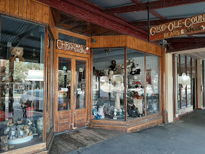
Good Ole Country Gifts
87.8 km
Discover unique gifts and festive decorations at Good Ole Country Gifts in Echuca, Australia – a treasure trove for every traveler.
Stockland Wendouree Shopping Centre
89.4 km
Explore the vibrant Stockland Wendouree Shopping Centre in Wendouree, Australia, offering diverse shops, dining, and entertainment for a perfect day out.

Spotlight Ballarat
89.5 km
Discover endless creativity at Spotlight Ballarat, your ultimate destination for craft supplies, homewares, and party essentials in Wendouree.

The Foundry
90.7 km
Explore The Foundry in Ballarat: Your go-to destination for unique gifts, fashion accessories, and a cozy coffee experience.

Essential bars & hidden hideouts
Swiss Mountain Hotel
64.5 km
Discover the Swiss Mountain Hotel, a cozy pub and restaurant in Victoria, offering hearty meals and a warm atmosphere for travelers.
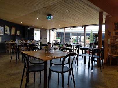
The Social Wine Bar
87.8 km
Experience the warmth of Echuca's wine culture at The Social Wine Bar, where exquisite wines and a relaxed atmosphere await.

Shamrock Hotel Echuca
87.9 km
Discover the heart of Echuca at Shamrock Hotel, where Irish pub culture meets live music and cozy accommodations in Victoria.
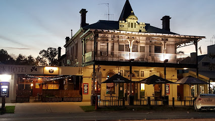
Henry's Bridge Hotel Echuca
88.0 km
Henry's Bridge Hotel Echuca: A charming bar and restaurant near the Murray River, offering local flavors and a relaxed atmosphere.
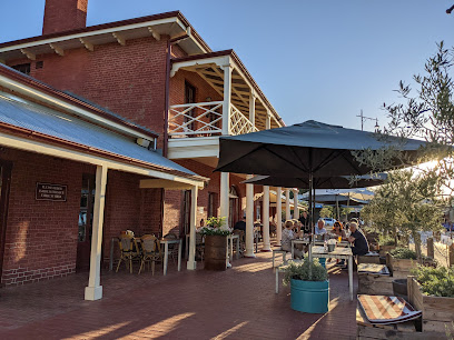
Border Inn Hotel
89.1 km
Discover the Border Inn Hotel in Moama, a charming bar and hotel offering great food, cozy fireside ambiance, and vibrant local culture.
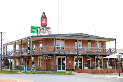
Tindarra Resort
89.3 km
Discover the perfect blend of relaxation and adventure at Tindarra Resort, a premier riverside escape in New South Wales.

North Britain Hotel
89.7 km
Explore the heart of Soldiers Hill at the North Britain Hotel, a charming pub offering delightful food, refreshing drinks, and a welcoming atmosphere.
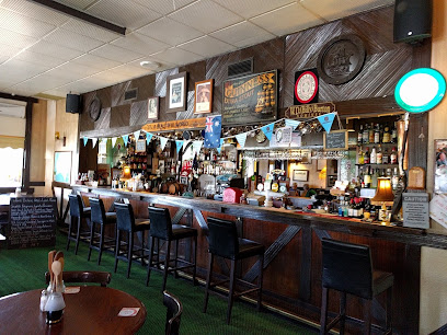
Blue Bell Hotel
89.7 km
Experience the vibrant atmosphere of the Blue Bell Hotel, a beloved pub in Wendouree, offering delicious food, refreshing drinks, and a taste of local culture.
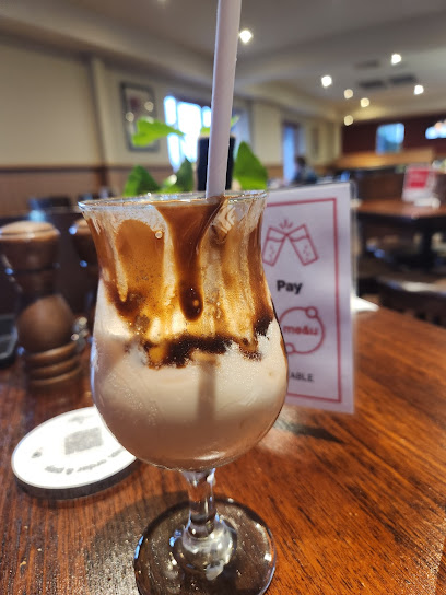
Freight Bar & Rooftop
90.4 km
Discover the vibrant atmosphere and innovative cuisine at Freight Bar & Rooftop, the ultimate gastropub experience in Ballarat.
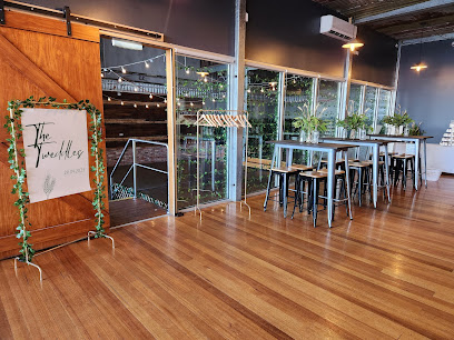
Aunty Jacks
90.6 km
Discover Aunty Jacks in Ballarat: a vibrant brewery and bar offering exceptional craft beers, delicious food, and a unique event venue experience.
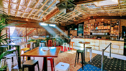
Hop Temple
90.7 km
Discover the vibrant atmosphere of Hop Temple, Ballarat's premier bar and restaurant, offering craft beers, delectable dishes, and live music.
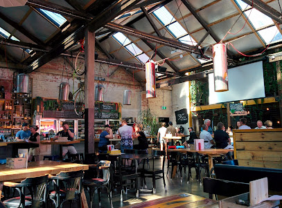
Roy Hammond
90.7 km
Experience the fusion of Asian cuisine and innovative cocktails at Roy Hammond, Ballarat's premier cocktail bar and restaurant.
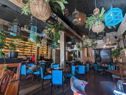
Irish Murphy's
90.7 km
Discover the charm of Ireland at Irish Murphy's, Ballarat's vibrant pub offering delicious food, drinks, and live entertainment.
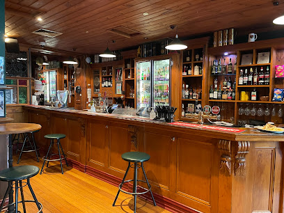
Piano Bar Ballarat
90.8 km
Discover the vibrant nightlife at Piano Bar Ballarat, where live music and a lively atmosphere create unforgettable experiences.

The Red Lion Ballarat
91.0 km
Experience the lively atmosphere of The Red Lion Ballarat, where great food, drinks, and local events come together in a vibrant setting.
Nightclubs & after hour spots
Rumours Upstairs
7.2 km
Discover Bendigo's vibrant nightlife at Rumours Upstairs—where stunning views, live music, and crafted cocktails create unforgettable nights.

Chase Nightclub
78.2 km
Dive into Seymour's nightlife at Chase Nightclub, where great music and lively atmosphere meet for unforgettable evenings.


