Discover the Majestic Untere Pfandelscharte
Experience the breathtaking beauty of Untere Pfandelscharte in the heart of the Austrian Alps, where stunning views and nature adventures await.
Untere Pfandelscharte is a breathtaking mountain pass in the Grossglockner region, offering stunning views and unforgettable experiences for nature lovers and adventure seekers alike. From panoramic vistas to rich wildlife, this attraction is a must-visit for any traveler exploring Austria's alpine wonders.
A brief summary to untere Pfandelscharte
- Grossglockner Hochalpenstraße 77, 9844, AT
Local tips
- Plan your visit during the early morning or late afternoon for the best light and fewer crowds.
- Bring a camera or smartphone to capture the stunning landscapes.
- Dress in layers as mountain weather can change quickly.
- Take advantage of the hiking trails to explore the area more thoroughly.
- Check local weather conditions before your visit to ensure a safe and enjoyable experience.
Getting There
-
Car
If you're driving, head toward the Grossglockner Hochalpenstraße, a scenic road that leads into Hohe Tauern National Park. From the town of Zell am See, take the B311 road towards Bruck and follow the signs to the Grossglockner Hochalpenstraße. There is a toll fee of approximately €37 for cars, which is valid for the whole day and allows you to explore various points along the road. Continue along the Hochalpenstraße until you reach the parking area at the start of the trail to untere Pfandelscharte.
-
Public Transportation
For those using public transportation, take a train to Zell am See. From there, you can take the Postbus (bus number 640) towards Heiligenblut. Get off at the 'Bergstation' stop near the Grossglockner Hochalpenstraße. Note that the bus service may not be frequent, so check the schedule in advance. Once you arrive, you will need to pay the toll fee of approximately €13 for access to the Hochalpenstraße if your bus does not cover it. From the bus stop, follow the marked hiking trails leading to untere Pfandelscharte.
-
Hiking
Once you are at the parking area or bus stop near the Grossglockner Hochalpenstraße, take the designated hiking trails that lead towards untere Pfandelscharte. The trail is well-marked and offers stunning views along the way. It's advisable to wear good walking shoes and carry sufficient water and snacks for the hike. The trek to untere Pfandelscharte from the parking area can take approximately 2 to 3 hours depending on your pace and experience.
Discover more about untere Pfandelscharte
Iconic landmarks you can’t miss
Kernzone National Park
3.0 km
Explore the breathtaking landscapes and diverse wildlife of Kernzone National Park, a premier wildlife refuge in Austria perfect for nature lovers and adventure seekers.
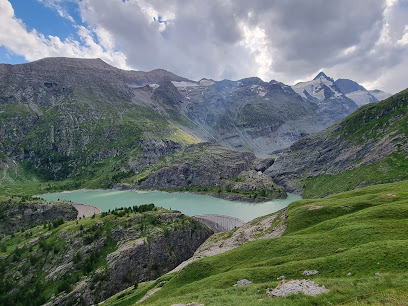
Grossglockner Gletscherbahn
3.2 km
Discover the stunning Grossglockner Gletscherbahn, where breathtaking views of Austria's highest peak meet thrilling mountain adventures.
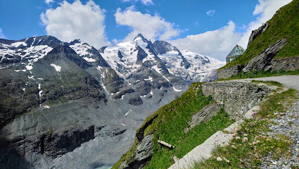
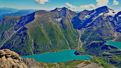
Stausee Margaritze
3.4 km
Explore the breathtaking beauty of Stausee Margaritze, an alpine lake in Austria perfect for outdoor adventures and serene escapes into nature.
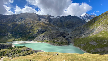
Grossglockner High Alpine Road
4.6 km
Experience the breathtaking beauty of the Grossglockner High Alpine Road, a stunning mountain pass in Austria that showcases nature's most awe-inspiring landscapes.
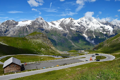
Kleinglockner
7.0 km
Discover the breathtaking beauty of Kleinglockner, a prime destination in the Austrian Alps, perfect for outdoor adventures and stunning views.

Grossglockner
7.1 km
Experience the breathtaking allure of Grossglockner, Austria's highest peak, where stunning views and thrilling adventures await every visitor in the heart of the Alps.
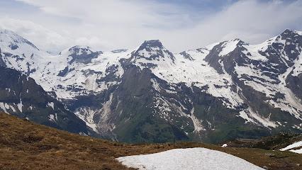
Hohe Tauern – die Nationalpark-Region in Kärnten Tourismus
7.3 km
Explore the breathtaking landscapes and rich biodiversity of Hohe Tauern National Park, Austria's largest national park, perfect for adventurers and nature lovers.
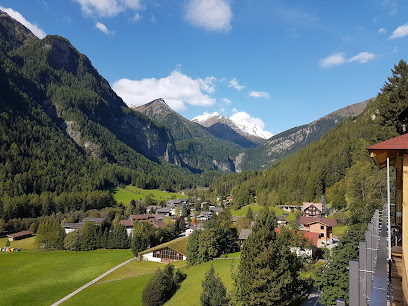
Glorer Hütte
8.6 km
Discover the charm of Glorer Hütte, an enchanting mountain cabin in the Austrian Alps, perfect for nature lovers and adventure seekers alike.
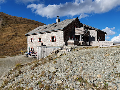
Stüdlhütte
8.8 km
Explore the majestic Austrian Alps at Stüdlhütte, a charming mountain cabin offering stunning views, hiking trails, and warm hospitality.
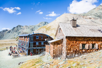
Kräuterlehrpfad Mooserboden
9.9 km
Discover alpine flora and stunning views on this family-friendly hiking trail from Mooserboden reservoir to Fürthermoar Alm in Kaprun.
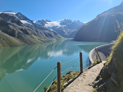
Jungfernsprung
11.1 km
Experience the breathtaking beauty of Jungfernsprung, a majestic waterfall and hiking paradise in Hohe Tauern National Park, Austria.
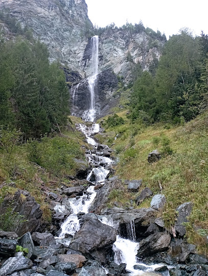
Kalser Tauernhaus
12.4 km
Experience the enchanting beauty of Kalser Tauernhaus – a mountain cabin retreat surrounded by the stunning landscapes of Kals am Großglockner, perfect for hikers and nature lovers.
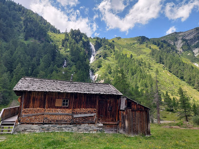
Stotzbachfall
12.6 km
Experience the breathtaking Stotzbachfall in Schwarzsee, Austria – a stunning waterfall surrounded by lush mountains and serene hiking trails.
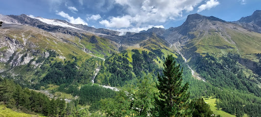
Berghotel Rudolfshütte
12.9 km
Discover the enchanting Berghotel Rudolfshütte, your perfect alpine escape in the heart of the Austrian Alps, surrounded by breathtaking hiking trails and stunning views.

Kitzsteinhorn Gipfel
12.9 km
Discover the breathtaking heights of Kitzsteinhorn Gipfel, a stunning alpine destination offering adventure, stunning views, and unforgettable experiences.
Unmissable attractions to see
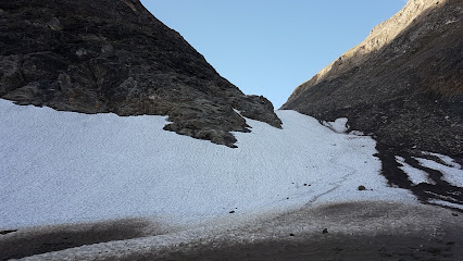
Pfandlschartenkees
0.7 km
Experience the breathtaking beauty of Pfandlschartenkees, a tranquil alpine retreat in Fusch, Austria, perfect for outdoor enthusiasts and nature lovers.
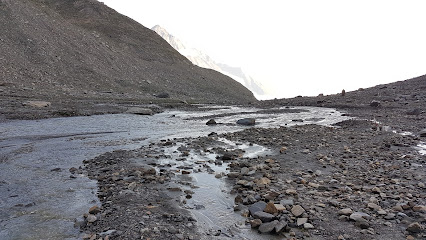
Oberer Pfandlbach
1.4 km
Experience the serene beauty of Oberer Pfandlbach, a tranquil escape in the heart of Fusch, Austria, perfect for nature lovers and peace seekers.
Späherbrünnl
1.4 km
Discover Späherbrünnl, a serene tourist attraction in Fusch, Austria, perfect for nature lovers and those seeking tranquility amidst breathtaking scenery.
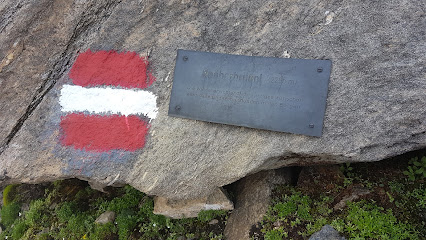
Naßfeldspeicher
1.5 km
Discover the serene beauty of Naßfeldspeicher, a picturesque reservoir in the Austrian Alps, perfect for hiking and relaxation amidst stunning landscapes.
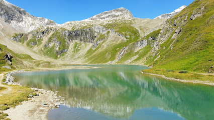
Pasterzenalpe
1.7 km
Explore the breathtaking beauty of Pasterzenalpe, a premier tourist attraction in the Austrian Alps, where adventure meets tranquility.
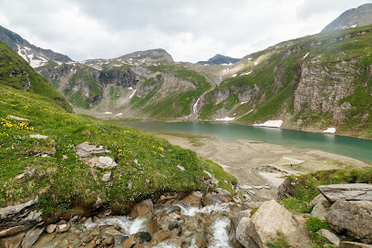
Pfandlschartenbach
2.1 km
Explore the serene beauty of Pfandlschartenbach, a charming village in Austria, perfect for nature lovers and cultural enthusiasts alike.
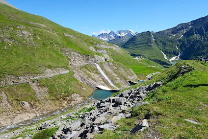
Mittlerer Pfandlbachfall
2.4 km
Experience the breathtaking beauty of Mittlerer Pfandlbachfall, a tranquil waterfall in Fusch an der Großglocknerstraße, perfect for nature lovers and adventure seekers.
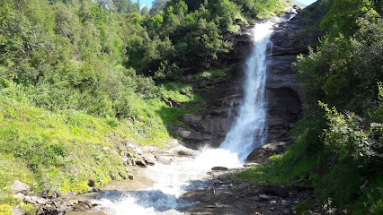
Glocknerhaus Kärnten
2.8 km
Experience the breathtaking beauty of the Austrian Alps at Glocknerhaus Kärnten, the ultimate mountain cabin destination for nature lovers and adventurers.
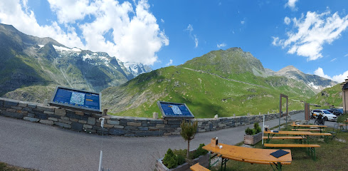
unterer Pfandlbachfall
2.9 km
Discover the serene beauty of Unterer Pfandlbachfall, a breathtaking waterfall near Fusch, perfect for nature lovers and adventure seekers.
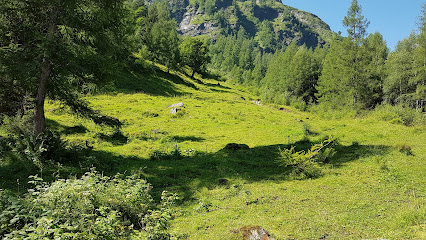
Gamsgrubentunnel
3.0 km
Discover the geological wonders of Gamsgrubentunnel, Austria's captivating tourist attraction nestled in stunning alpine landscapes.
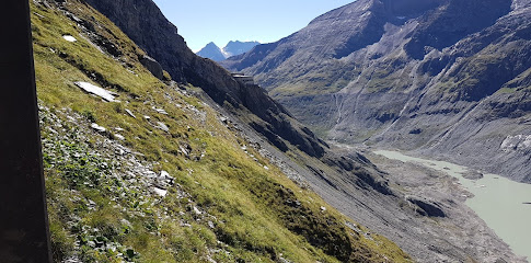
Wilhelm Swarovski Observation Point
3.1 km
Experience the breathtaking beauty of the Austrian Alps at the Wilhelm Swarovski Observation Point, a scenic highlight along the Grossglockner High Alpine Road.
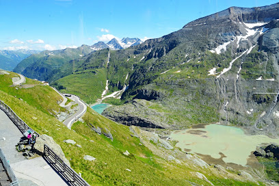
Gamsgrubenweg
3.1 km
Explore Gamsgrubenweg, a stunning hiking area in Winkl, Austria, offering breathtaking views and a unique outdoor adventure in the heart of the Alps.
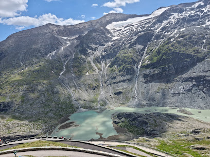
Energiedusche Wasserfall
3.3 km
Explore the breathtaking Energiedusche Wasserfall on the scenic Grossglockner Hochalpenstraße, a must-see natural wonder in the Austrian Alps.
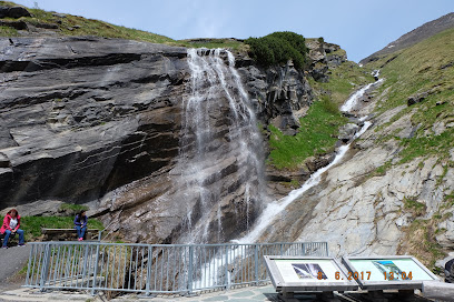
Speicher Margaritzen
3.4 km
Discover the serene beauty of Speicher Margaritzen, a stunning reservoir perfect for outdoor adventures and tranquil escapes in the Austrian Alps.
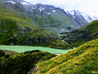
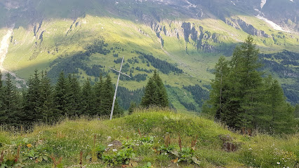
Wetterkreuz
3.5 km
Explore the breathtaking beauty of Wetterkreuz, a serene Alpine attraction perfect for nature lovers and cultural enthusiasts in Austria.
Essential places to dine
Karl Volkert Haus
2.9 km
Savor authentic Austrian cuisine and cozy accommodations at Karl Volkert Haus in Heiligenblut am Großglockner.

Selbstbedienungsrestaurant Hoher Sattel
3.0 km
Experience authentic Austrian cuisine surrounded by breathtaking alpine scenery at Selbstbedienungsrestaurant Hoher Sattel.
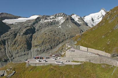
Panoramarestaurant Kaiser Franz-Josefs-Höhe und Kaiser Franz-Josef-Haus
3.0 km
Experience exquisite local cuisine against the backdrop of Austria's breathtaking Grossglockner mountain range at Panoramarestaurant Kaiser Franz-Josefs-Höhe.
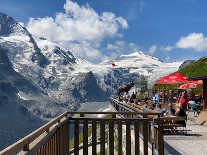
Gletscherrestaurant Freiwandeck
3.1 km
Experience authentic Austrian cuisine at Gletscherrestaurant Freiwandeck with breathtaking views of Grossglockner's majestic peaks.
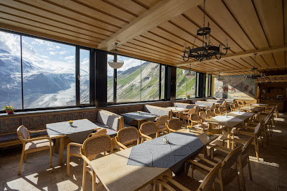
Trauneralm
3.5 km
Experience authentic Austrian cuisine at Trauneralm while enjoying breathtaking alpine views and endless outdoor adventures.
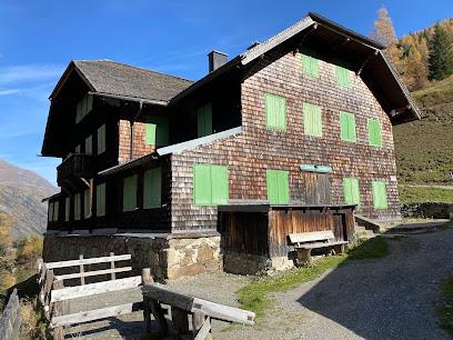
Restaurant Fuschertörl
4.5 km
Experience authentic Austrian cuisine with stunning alpine views at Restaurant Fuschertörl on your journey through the Grossglockner region.
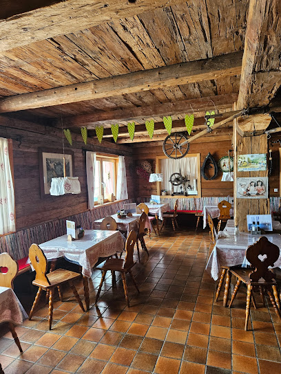
Spatz'l Alm
6.2 km
Discover authentic Austrian flavors in a cozy alpine setting at Spatz'l Alm in Untertauern.
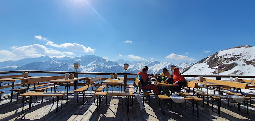
Panorama Restaurant Schareck
6.3 km
Experience exquisite Austrian cuisine with stunning alpine views at Panorama Restaurant Schareck in Untertauern.
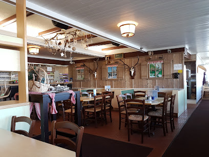
Sporthotel Heiligenblut
7.0 km
Experience exquisite Austrian cuisine and warm hospitality at Sporthotel Heiligenblut amidst stunning alpine scenery.
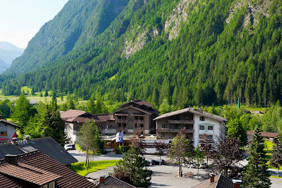
Restaurant
7.1 km
Experience authentic Austrian cuisine in a cozy alpine setting at Untertauern's top-rated restaurant.
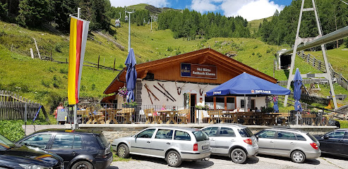
Café-Restaurant Dorfstub'm
7.3 km
Discover the heartwarming flavors of Austria at Café-Restaurant Dorfstub'm in Hof—where every meal is an experience steeped in tradition.
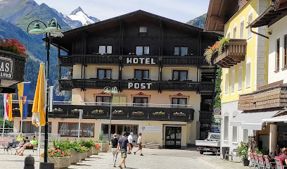
Casa Antica
7.3 km
Experience authentic Italian cuisine at Casa Antica in Hof, Austria - renowned for its delicious pizzas and inviting atmosphere.
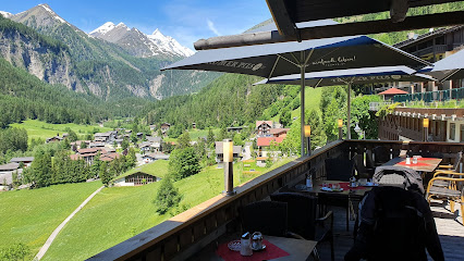
Doris Fleißkuchl
8.0 km
Experience authentic Austrian cuisine at Doris Fleißkuchl in picturesque Fleiß – where tradition meets taste.
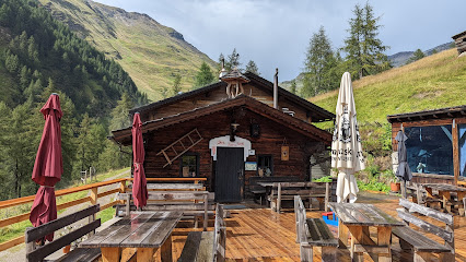
Landgasthof Hotel Sonnblick
8.4 km
Discover authentic Austrian cuisine at Landgasthof Hotel Sonnblick while enjoying stunning views of the Alps in Hof.
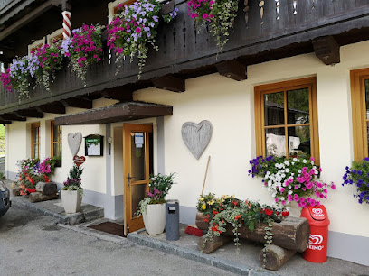
Gasthaus Wildpark-Ferleiten
8.8 km
Discover authentic Austrian cuisine at Gasthaus Wildpark-Ferleiten, where nature meets flavor in an unforgettable dining experience.
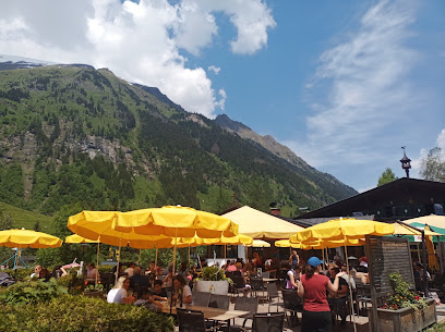
Markets, malls and hidden boutiques
Shop Fuscher Törl
4.0 km
Discover local flavors and essentials at Shop Fuscher Törl, your ultimate kiosk stop in the heart of Austria's breathtaking Alps.
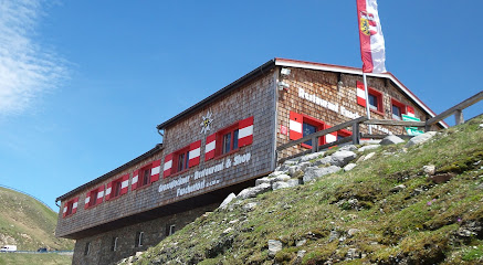
Kiosk Hochtor - Großglockner Hochalpenstraßen AG
4.6 km
Discover the charm of Kiosk Hochtor while enjoying breathtaking views and local delights along the Großglockner High Alpine Road.
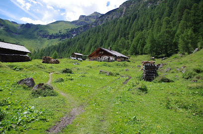
Litzelhofalm
5.4 km
Discover the tranquility of Litzelhofalm, a charming mountain cabin and dairy store in the Austrian Alps, where nature meets authentic local flavors.
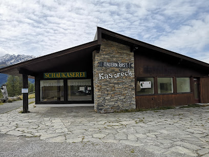
Agrargemeinschaft Kasereck - Almrestaurant & Bioladen
5.7 km
Experience authentic alpine cuisine and organic products at Agrargemeinschaft Kasereck in the stunning Untertauern region.
Senger Geschenksboutique
7.2 km
Discover unique gifts and artisanal treasures at Senger Geschenksboutique in Hof, Austria - a perfect stop for memorable souvenirs.
Kaufhäusl
7.3 km
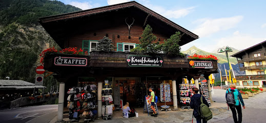
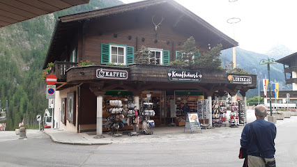
Discover the essence of Austria at Kaufhäusl, the charming souvenir store in Hof, where local crafts and unique gifts await.
INTERSPORT Grossglockner
7.3 km
Discover your alpine adventure at INTERSPORT Grossglockner with top-notch rentals for skiing, snowboarding, and cycling in the heart of Austria's majestic mountains.
ADEG Ernst Pichler
7.3 km
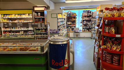
Explore Hof's local flavors at ADEG Ernst Pichler, your one-stop supermarket for fresh produce and regional delicacies.
Alpinsport Gratz Gradonna
14.1 km
Discover the ultimate outdoor experience at Alpinsport Gratz Gradonna, your one-stop shop for skiing and outdoor adventure gear in Kals am Großglockner.

snowskaten.at
14.3 km
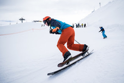
Discover premier snowboarding gear and expert advice at Snowskaten in Kals am Großglockner, your gateway to alpine adventures.
RGO Lagerhaus Bau- und Gartenmarkt
14.5 km
Explore RGO Lagerhaus Bau- und Gartenmarkt in Kals am Großglockner for premium hardware and garden supplies amidst stunning alpine scenery.
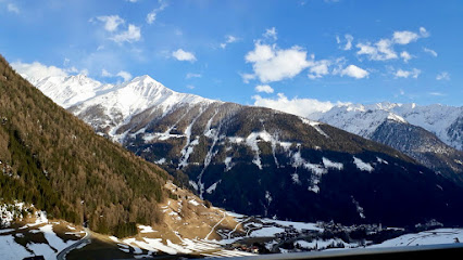
Alpinsport Gratz Shop Talstation Gondelbahn
14.5 km
Explore the stunning Kals am Großglockner region with top-notch gear from Alpinsport Gratz, your ultimate destination for skiing and biking adventures.
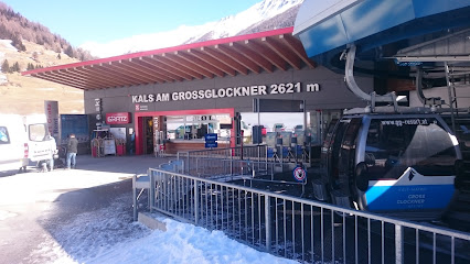
Kalser Genusshitte
14.5 km
Discover the flavors of Kals am Großglockner at Kalser Genusshitte, your go-to grocery store for local produce and artisanal goods.
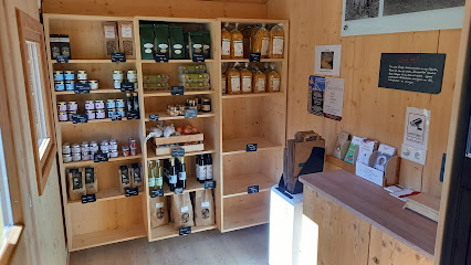
Bründl Sports Kitzsteinhorn Alpincenter
14.8 km
Discover Bründl Sports Kitzsteinhorn Alpincenter in Kaprun, your ultimate destination for skiing and outdoor sports gear in the heart of the Alps.
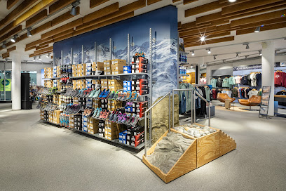
Minimarkt
15.3 km
Discover local flavors and essentials at Minimarkt, a charming grocery store in Fusch, near the majestic Großglockner.
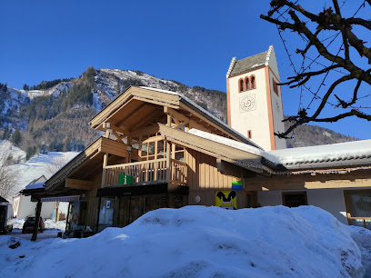
Essential bars & hidden hideouts
Die Mühle Heiligenblut
7.0 km
Discover Die Mühle Heiligenblut, a cozy bar in Winkl offering a delightful selection of drinks and a warm atmosphere amidst breathtaking Alpine scenery.
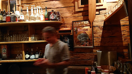
Café Bar Laterndl
7.3 km
Discover the warmth and charm of Café Bar Laterndl, a cozy retreat in Hof, Austria, perfect for unwinding with drinks and local flavors.
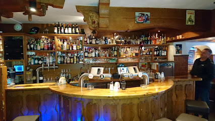
Michl's Bar
14.3 km
Discover the cozy charm of Michl's Bar in Unterburg, where locals and travelers come together for delicious drinks and a warm atmosphere.

Kalser Eck
14.6 km
Experience the warmth and charm of Kalser Eck, the perfect bar for relaxation in the breathtaking Kals am Großglockner region.

skyline - CAFÉ | BAR | LOUNGE (2.450 m)
14.7 km
Experience the breathtaking views and delightful cuisine at the Skyline Café, Bar & Lounge, a high-altitude gem in the Kitzsteinhorn mountains.
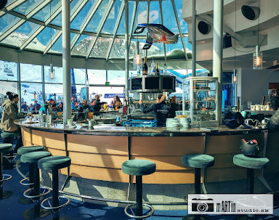
Parasol Apres Sky
14.8 km
Enjoy the perfect blend of stunning views and vibrant atmosphere at Parasol Apres Sky in Kaprun, Austria's premier après-ski bar.
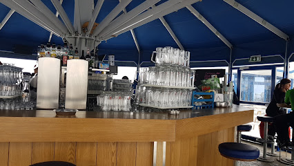
kitz900m Aprés Ski
15.9 km
Discover Kitz900m Aprés Ski, a vibrant bar in Kaprun, where breathtaking mountain views and a welcoming atmosphere await you after a day on the slopes.
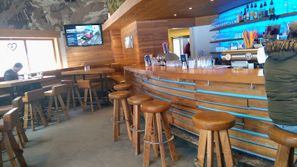
Rodelhütte Fallwindes
16.7 km
Experience the charm of Rodelhütte Fallwindes, a cozy bar in Kals am Großglockner, where stunning views and local flavors await every visitor.
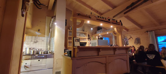
Christl's Alm
19.8 km
Experience the charm of Christl's Alm in Kaprun, where cozy ambiance meets stunning alpine views and refreshing beverages.
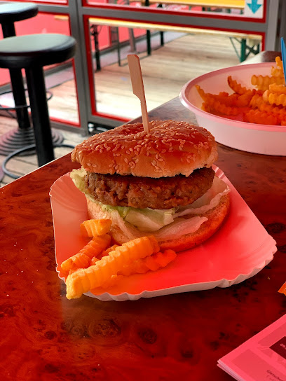
Salettl - Bar Bara
19.8 km
Discover the lively atmosphere and diverse drink selection at Salettl - Bar Bara, your perfect retreat in the heart of Kaprun, Austria.
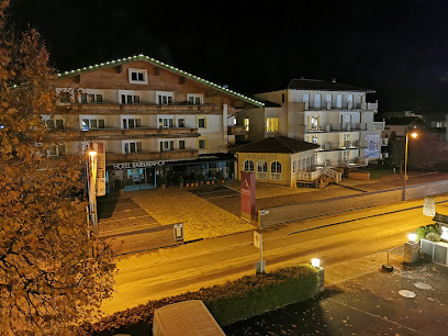
Pavillon Après-Ski Bar
19.9 km
Experience the vibrant atmosphere and delightful drinks at Pavillon Après-Ski Bar, the perfect retreat in Kaprun after a day on the slopes.
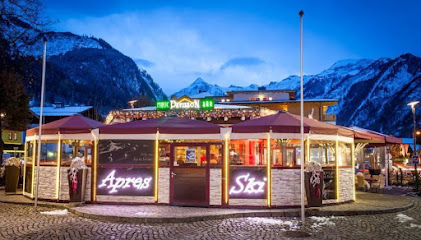
Schirmbar Stangerbauer
20.0 km
Experience the serene charm of Schirmbar Stangerbauer in Kaprun, where refreshing drinks and stunning mountain views create the perfect getaway.
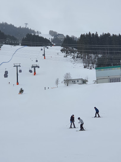
Eisbär-Bar
20.1 km
Experience the vibrant nightlife at Eisbär-Bar in Kaprun, where delicious fast food, refreshing drinks, and unforgettable dance parties await.
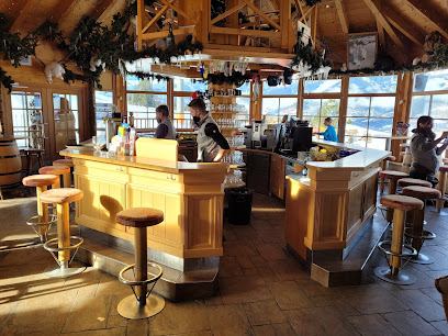
Barracuda Club Kaprun
20.1 km
Discover the vibrant nightlife at Barracuda Club Kaprun, a premier disco club offering exhilarating dance experiences and live music in the heart of Austria.

Sip and Savour Bar
20.1 km
Sip and Savour Bar in Kaprun offers a vibrant cocktail experience with innovative drinks and a lively atmosphere in the heart of the Alps.

Nightclubs & after hour spots
Rockfest Fusch
14.9 km
Discover the electrifying nightlife at Rockfest Fusch – where music, dancing, and unforgettable memories come alive in the heart of Austria.
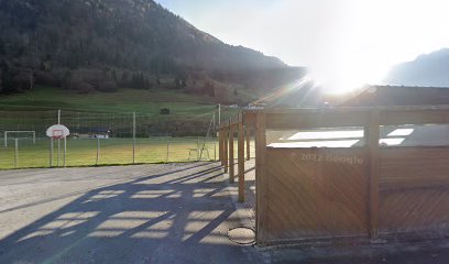
Nightclub Nachtfalter
19.6 km
Discover the electrifying atmosphere of Nachtfalter Nightclub in Kaprun, where unforgettable nights of music and dance await you.
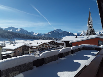
Discothek Insomnia Kaprun
20.1 km
Discover the lively Discothek Insomnia in Kaprun, where unforgettable nights of dancing and music await in the heart of the Austrian Alps.
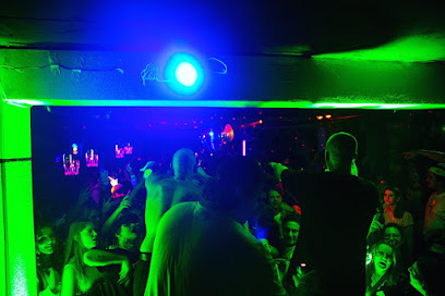
Container Bar
22.9 km
Discover the Container Bar in Zell am See, where vibrant atmosphere meets stunning views and affordable drinks for every traveler.
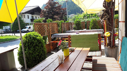
CastleBar
25.6 km
Discover the charm of CastleBar in Zell am See, where delightful cuisine meets a cozy bar atmosphere for a memorable experience.
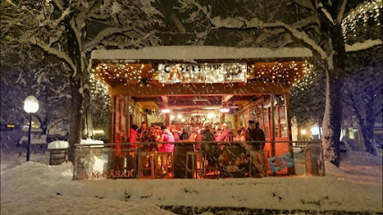
Bernsteins Bar
25.7 km
Experience the vibrant nightlife at Bernsteins Bar in Zell am See, where cocktails and camaraderie come together in a stunning alpine setting.

GINHOUSE | Pub | Zell am See
25.7 km
Experience lively nights at GINHOUSE in Zell am See, where great drinks and a vibrant atmosphere await every visitor.
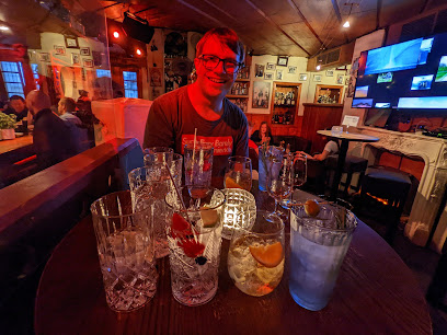
TOMS bar & lounge
25.7 km
Discover the lively atmosphere of TOMS Bar & Lounge in Zell am See, where great drinks and unforgettable nights await you.

senSATion Club Zell am See
25.7 km
Discover the electrifying nightlife at senSATion Club in Zell am See, where vibrant music and an unforgettable atmosphere await every visitor.
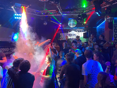
Insider Bar
25.7 km
Discover the lively Insider Bar in Zell am See, where great drinks, live music, and a vibrant atmosphere await you every night.

Pinzgauer Diele - Pizzeria - Disco - Apres Ski
25.8 km
Experience the perfect blend of delicious pizza, cozy coffee, and electrifying nightlife at Pinzgauer Diele in Zell am See.
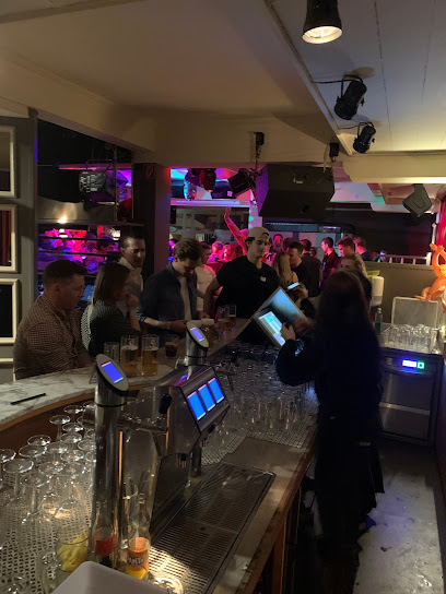
GreensXL
25.8 km
Discover GreensXL, the lively bar in Zell am See, where cocktails meet vibrant nightlife and unforgettable experiences await.
Pop up AS Mare
25.8 km
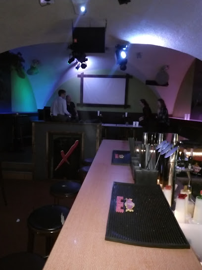
Discover the vibrant nightlife at Pop up AS Mare in Zell am See, where friendly service meets a cozy atmosphere for an unforgettable experience.
Paradise Table Dance
26.0 km
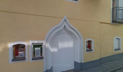
Discover the lively nightlife at Paradise Table Dance, Bad Hofgastein's premier bar and disco club, featuring stunning performances and exceptional service.

Haeggbloms BAR
26.4 km
Experience the vibrant nightlife at Haeggbloms BAR in Bad Gastein, where great drinks, music, and fun come together for an unforgettable evening.
