Mantiqueira Mountains: Brazil's Natural Border
Explore the Mantiqueira Mountains: A stunning Brazilian range offering hiking, culture, and breathtaking natural beauty.
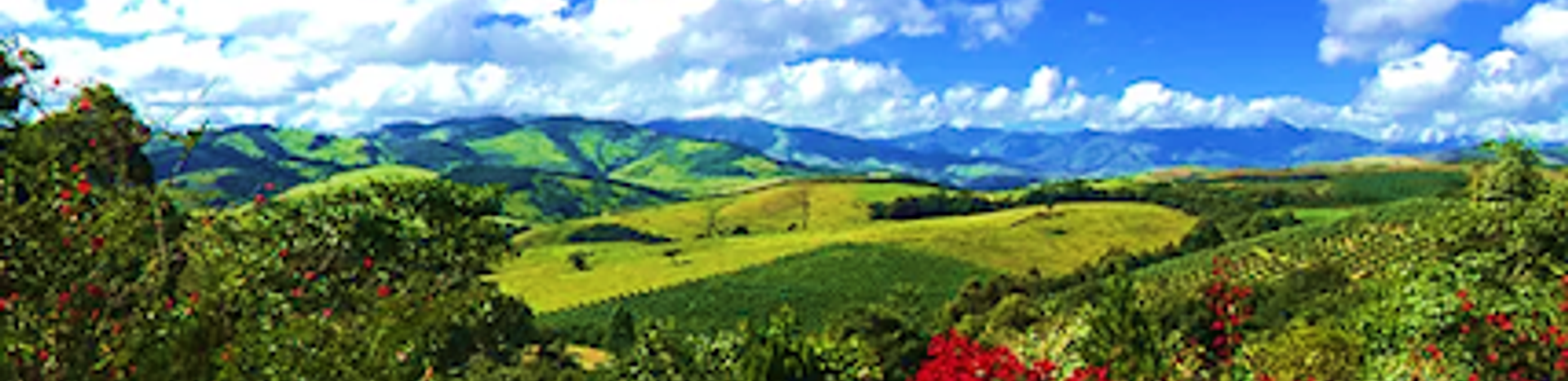
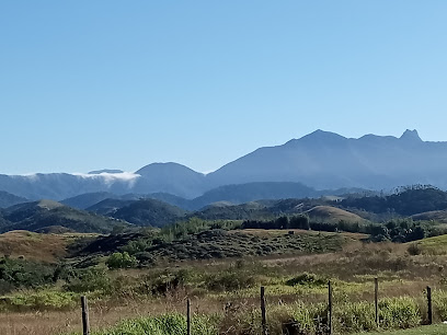
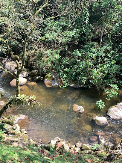
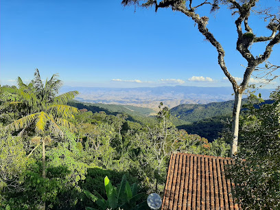
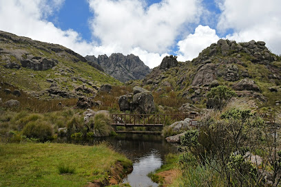
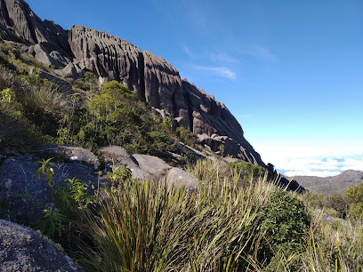
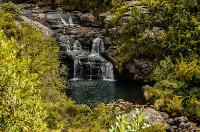
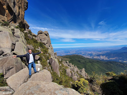
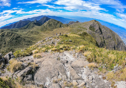
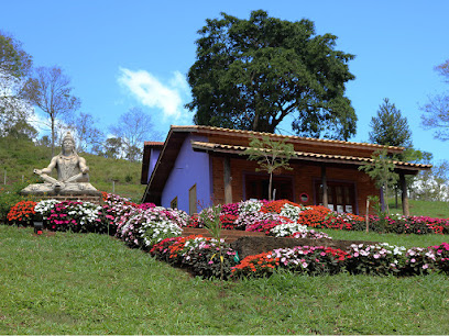
The Mantiqueira Mountains, or Serra da Mantiqueira, form a natural border across the southeastern Brazilian states of São Paulo, Minas Gerais, and Rio de Janeiro. Known as the 'mountain that cries' in Tupi-Guarani, this range is a vital water source, characterized by stunning peaks, lush forests and diverse ecosystems.
A brief summary to Mantiqueira Mountains
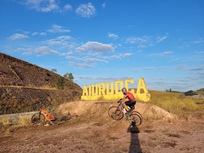
- Baependi, State of Minas Gerais, BR
Local tips
- Visit during the dry season (April to September) for the best hiking conditions and clearer views.
- Engage with local guides to discover hidden trails, waterfalls, and gain insights into the region's natural wonders.
- Pack clothing for a range of conditions as the weather in the Mantiqueira Mountains can be unpredictable.
- Respect the environment by staying on marked trails and disposing of waste properly.
Getting There
-
Driving
From São Paulo, the most direct route to the Mantiqueira Mountains is via the BR-381 highway. The drive takes approximately 4.5 hours, covering around 305 kilometers. Be aware that some roads within the mountain range may be unpaved. Typical Fuel Cost: R$150-R$200. Tolls: Expect to pay around R$20-R$30 in tolls along the BR-381. Parking: Free parking is generally available at trailheads and attractions.
-
Public Transport
From São Paulo, take a bus from Tietê Bus Terminal to a city within the Mantiqueira range, such as Campos do Jordão or Itanhandu. Viação Cometa operates buses to Itanhandu, with a journey time of around 5 hours. From these cities, local buses or taxis can be used to reach specific points within the mountains. Bus Fare (São Paulo to Itanhandu): R$80-R$180. Local Taxi Fare: R$20-R$50 for short trips from the bus terminal to trailheads.
Discover more about Mantiqueira Mountains
Iconic landmarks you can’t miss
Mantiqueira Mountains
0.0 km
Explore the Mantiqueira Mountains: A stunning Brazilian range offering hiking, culture, and breathtaking natural beauty.
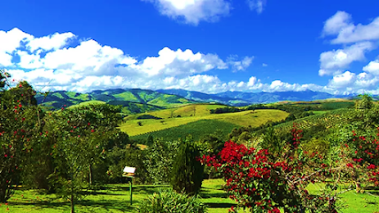
Parque Estadual da Serra do Papagaio
16.0 km
Explore the breathtaking landscapes and diverse wildlife at Parque Estadual da Serra do Papagaio, a premier destination for outdoor enthusiasts in Minas Gerais.
Serra da Mantiqueira Environmental Protection Area
42.2 km
Discover Brazil's Serra da Mantiqueira Environmental Protection Area: a mountain escape with rich biodiversity, stunning views, and outdoor adventures.
Unmissable attractions to see
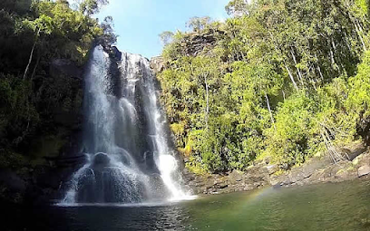
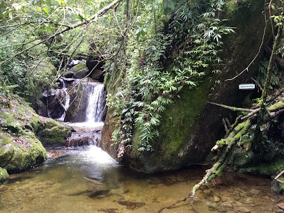
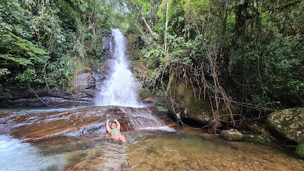
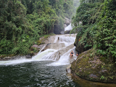
Cachoeira do Santuário
36.9 km
Discover Cachoeira do Santuário in Itatiaia National Park: a hidden gem with cascading waters, serene trails, and breathtaking views.
Rapids Park
39.3 km
Discover breathtaking landscapes, diverse wildlife, and adventure-filled activities at Rapids Park in Itatiaia National Park, a nature lover's paradise.
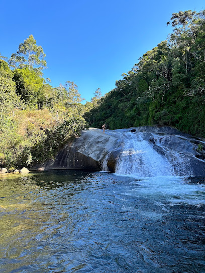
Waterfall Slide
39.3 km
Experience the thrill of nature at Itatiaia's Waterfall Slide, a unique and exhilarating natural waterslide nestled in Brazil's oldest national park.
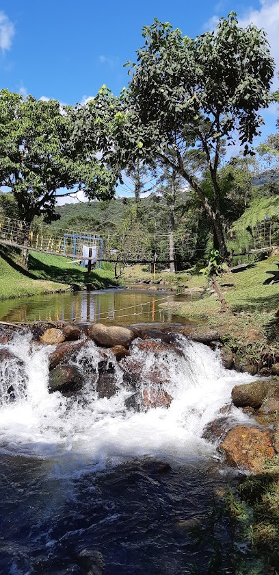
Maromba
39.4 km
Discover Maromba in Itatiaia: a haven of natural beauty, waterfalls, and outdoor adventures in the heart of Brazil's oldest national park.
Monkeys Waterfall
39.5 km
Discover the enchanting Monkeys Waterfall in Itatiaia National Park, a serene escape into Brazil's lush Atlantic Rainforest and vibrant wildlife.
Peanut Hill
40.6 km
Experience the mystery of Peanut Hill in São Thomé das Letras, where gravity seems to take a break amidst stunning natural landscapes.
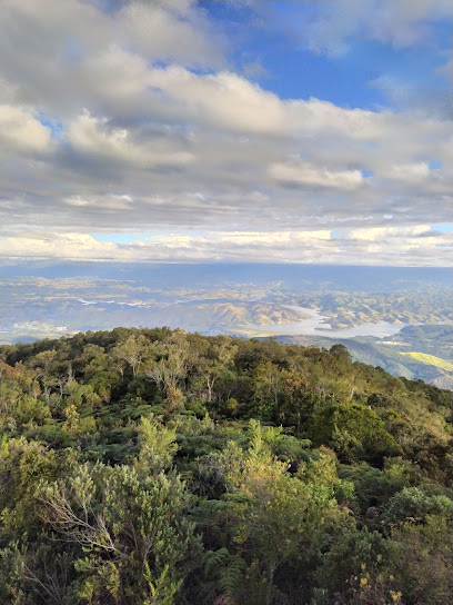
Itatiaia National Park
42.2 km
Discover Brazil's first national park: Hike majestic peaks, explore stunning waterfalls, and immerse yourself in the heart of the Atlantic Forest.
Pedra do Altar
42.3 km
Hike to Pedra do Altar in Itatiaia National Park for panoramic views from one of Brazil's highest accessible peaks.
Pico das Agulhas Negras
43.3 km
Ascend to Rio de Janeiro's highest point in Itatiaia National Park for breathtaking views and challenging hikes amidst unique rock formations.
Flowers Waterfall - Itatiaia National Park
43.7 km
Discover the serene beauty of Flowers Waterfall in Itatiaia National Park, a perfect spot for a refreshing escape into nature.
Pico das Prateleiras
45.1 km
Hike to the summit of stone shelves in Itatiaia National Park for panoramic views and a thrilling rock climbing experience.
Pedra da Mina
48.6 km
Hike to the summit of Pedra da Mina, the 4th highest peak in Brazil, for breathtaking panoramic views of the Mantiqueira Mountains.
Itaporani Waterfall
49.1 km
Discover the serene beauty of Itaporani Waterfall in Itatiaia National Park, a perfect escape for nature lovers and adventure seekers in Brazil.
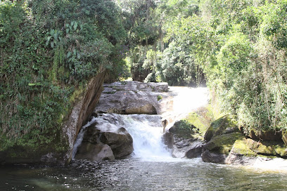
Cachoeira Veu da Noiva
49.3 km
Discover the enchanting Bridal Veil Waterfall in Itatiaia National Park, a serene escape into nature's embrace with easy access and stunning views.
Abrigo Água Branca do Parque Nacional do Itatiaia
49.6 km
Explore the breathtaking Abrigo Água Branca in Itatiaia National Park, a serene escape filled with stunning landscapes and rich biodiversity.
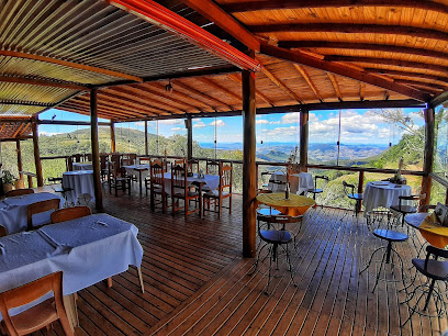
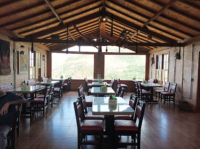
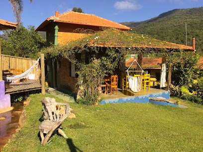
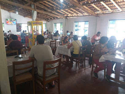
Essential places to dine
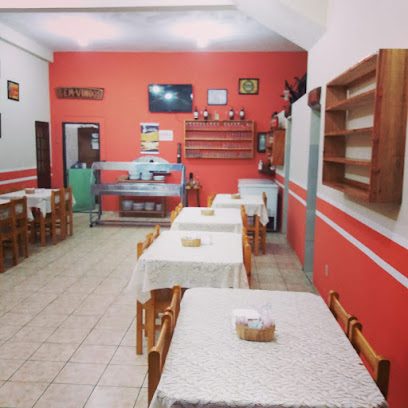
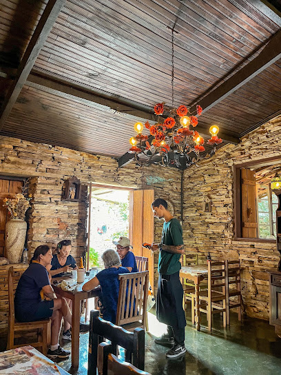
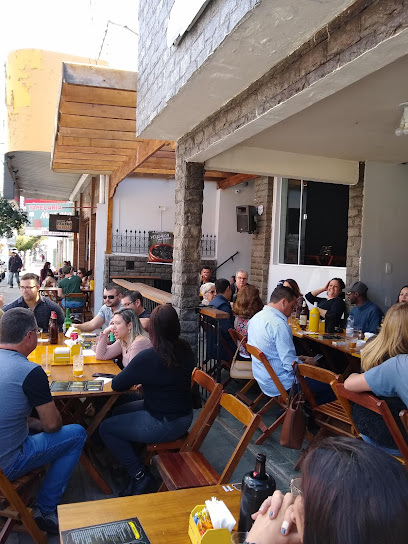
CASAL GARCIA Restaurante e Bar
8.2 km
Discover authentic Brazilian cuisine and vibrant drinks at CASAL GARCIA Restaurante e Bar in beautiful Aiuruoca.
Velho Oeste Minas
8.2 km
Experience the unique flavors and rustic charm of Velho Oeste Minas in Aiuruoca's breathtaking landscape.
Tia Iraci - Restaurante e Hospedagem - Vale do Matutu
14.8 km
Discover authentic Minas Gerais cuisine at Tia Iraci in Vale do Matutu - where tradition meets breathtaking nature.
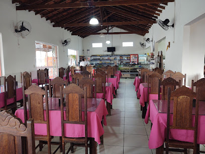
Recanto mineiro
14.8 km
Discover authentic Brazilian cuisine at Recanto Mineiro in Baependi - where tradition meets flavor amidst stunning landscapes.
Hospedagem Ashram Canto do Papagaio
14.9 km
Experience serenity at Ashram Canto do Papagaio – your holistic retreat for yoga, meditation, and rejuvenation in beautiful Minas Gerais.
Morro Velho Espaço Gourmet
17.0 km
Experience authentic Brazilian cuisine at Morro Velho Espaço Gourmet in Baependi – where flavor meets tradition.
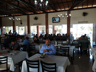
Restaurante Bistecão Gaúcho
18.0 km
Experience the rich flavors of Brazilian barbecue at Restaurante Bistecão Gaúcho in Caxambu - a buffet paradise for meat lovers.
Restaurante Castelinho
18.9 km
Experience authentic Brazilian cuisine at Restaurante Castelinho in Cruzília - a culinary treasure of Minas Gerais.
Restaurante Dona Ines
22.1 km
Experience authentic Brazilian flavors at Restaurante Dona Ines in Alagoa – where tradition meets taste in every dish.
Pousada e Restaurante Lírio do Vale
33.8 km
Experience authentic Brazilian cuisine and cozy accommodations at Pousada e Restaurante Lírio do Vale in scenic Minas Gerais.
Churrascaria Mineira
33.8 km
Experience authentic Brazilian barbecue at Churrascaria Mineira in Minas Gerais - where flavor meets tradition!
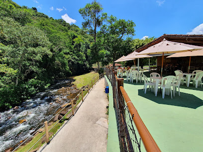
Laurinho - Restaurante e Balneário
37.0 km
Experience exquisite Brazilian cuisine at Laurinho - Restaurante e Balneário amidst stunning natural landscapes in Itamonte.
Nó Cozinha
37.5 km
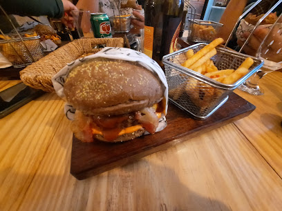
Experience the flavors of Brazil at Nó Cozinha, where gourmet burgers and tantalizing tapas await you in beautiful Itanhandu.
Butiquim do Bistrô
38.1 km
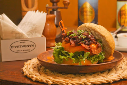
Experience authentic Brazilian flavors at Butiquim do Bistrô in Itanhandu - a must-visit restaurant showcasing local culinary traditions.
O Alquimista Típico
39.3 km
Experience the rich flavors of Brazil at O Alquimista Típico in São Thomé das Letras – your go-to spot for delicious pizza and local cuisine.
Markets, malls and hidden boutiques
Laticínio Lejane
13.4 km
Experience the rich flavors of Minas Gerais at Laticínio Lejane, a top dairy store offering artisanal cheeses and dairy delights in Aiuruoca.
Shop Star Water
14.7 km
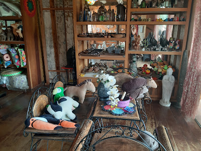
Explore Aiuruoca's unique artisanal offerings at Shop Star Water, a treasure trove of local crafts and delightful gifts.
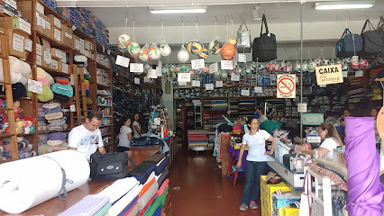
Street Style
15.1 km
Explore local fashion trends at Street Style in Baependi, a unique clothing store that blends contemporary styles with Brazilian flair.

Loja Rosendo
15.1 km
Explore the elegance of Loja Rosendo, a premier designer clothing store in Baependi, Minas Gerais, where fashion meets local charm.
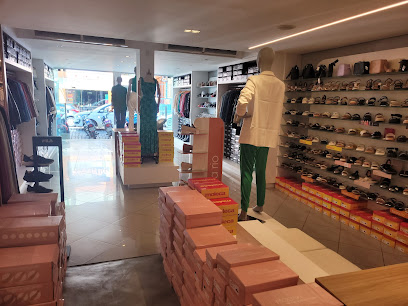
Influência da Moda
15.1 km
Discover the essence of Minas Gerais fashion at Influência da Moda, your go-to clothing and shoe store in Baependi.
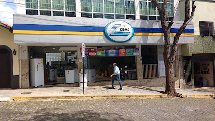
Loja Zema - Baependi
15.3 km
Explore Loja Zema in Baependi for a diverse selection of appliances and furniture amidst a charming shopping atmosphere.
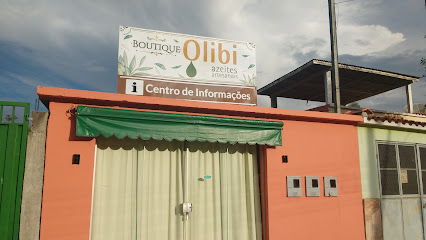
Boutique Olibi
15.4 km
Explore Boutique Olibi in Aiuruoca, where local flavors and vibrant culture converge in a charming convenience store setting.
CRUCE COMPANY
19.0 km
Cruce Company: Your ultimate skateboard destination in Caxambu, Brazil, offering the best gear and a vibrant skating community.

Boutique Aconchego
19.1 km
Explore Boutique Aconchego in Caxambu for unique fashion that celebrates local artistry and style.

Boutique Realce
19.2 km
Discover exceptional fashion at Boutique Realce in Caxambu, where local style meets contemporary trends in a charming setting.
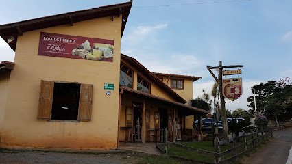
Empório Cruzília
19.9 km
Discover the rich flavors of artisanal cheeses at Empório Cruzília, a delightful cheese shop in the heart of Minas Gerais.
Cris Minas
22.0 km
Explore unique styles and local fashion at Cris Minas, the go-to clothing store in Alagoa, Minas Gerais.
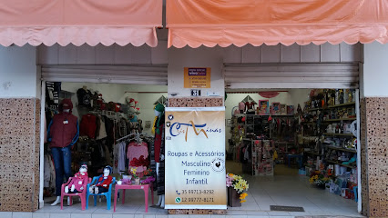
MMk Store
24.6 km
Explore a vibrant clothing store in Carvalhos, offering trendy and affordable fashion that captures the essence of local style.

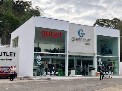
Outlet Green River
33.7 km
Discover unbeatable deals on stylish clothing for all ages at Outlet Green River in São Lourenço, the ultimate shopping experience.
Penpix Artesanato e MDF
33.8 km
Explore Penpix Artesanato e MDF, a charming craft store in São Lourenço offering unique handcrafted souvenirs and local artistry.

Essential bars & hidden hideouts
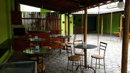
Bar do Curral
8.4 km
Experience the charm of Bar do Curral in Baependi, where local drinks and rustic ambiance create the perfect getaway.
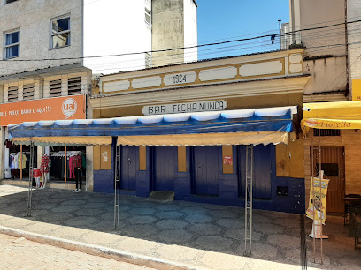
Bar Fecha Nunca
15.3 km
Discover the vibrant atmosphere of Bar Fecha Nunca in Baependi, where local flavors and friendly faces await every visitor.
Bar E Restaurante Da Cleide
15.3 km
Experience the flavors of Minas Gerais at Bar E Restaurante Da Cleide, where local cuisine meets a vibrant bar atmosphere in Aiuruoca.
Celeiro Bar e Restaurante
18.4 km
Discover the fusion of cocktails and pizza at Celeiro Bar e Restaurante in Cruzília, where every meal is a flavorful adventure.
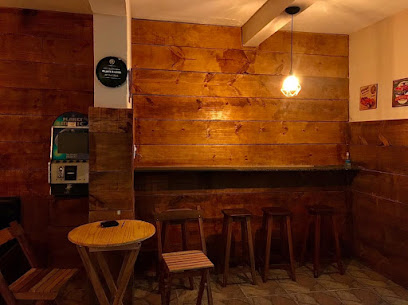
Bar Los Hermanos
19.0 km
Experience vibrant Brazilian nightlife at Bar Los Hermanos in Caxambu, where locals and tourists enjoy drinks and good vibes.
BAR Da VASCAÍNA
19.1 km
Discover the vibrant atmosphere of BAR Da VASCAÍNA in Caxambu, where local culture meets delightful beverages in a cozy setting.
Moscow Pub
19.1 km
Discover the vibrant nightlife of Caxambu at Moscow Pub, where drinks, music, and good vibes come together in a charming atmosphere.
Boteco do Luizinho
33.7 km
Experience the heart of São Lourenço at Boteco do Luizinho, where vibrant flavors and a welcoming atmosphere await every visitor.
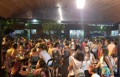
Bendicto Gole
34.1 km
Discover Bendicto Gole in São Lourenço: a vibrant pub and bistro with craft beers, delicious food, and live music for an unforgettable experience.
Bar Do Quinzinho
34.8 km
Experience the vibrant local culture at Bar Do Quinzinho, a charming bar in São Lourenço offering delicious snacks and refreshing drinks.
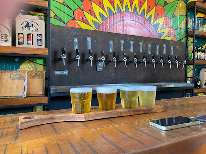
Mantibier
35.3 km
Experience the best of Minas Gerais craft beer and local tapas at Mantibier Brewery in São Lourenço's scenic Vale dos Pinheiros.
Boate Aquarios
37.6 km
Discover the vibrant nightlife of Carmo de Minas at Boate Aquarios, where local culture meets lively entertainment in a stunning setting.
Suprema da Serra
38.4 km
Discover the charm and vibrant culture of Minas Gerais at Suprema da Serra, a must-visit bar offering refreshing drinks and a warm atmosphere.
Bar do 2
38.9 km
Discover the vibrant ambiance and local flavors of Bar do 2 in São Thomé das Letras, where every drink tells a story.
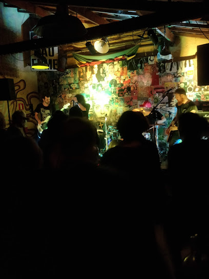
Vimana Mountain Rock
39.0 km
Discover the lively spirit of São Thomé das Letras at Vimana Mountain Rock, a premier live music bar that promises unforgettable nights filled with local culture and entertainment.
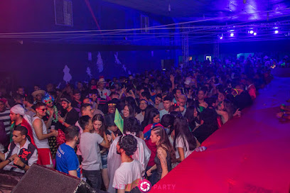
Nightclubs & after hour spots
Forró Bem Juntinho
62.3 km
Experience the vibrant culture of Brazil at Forró Bem Juntinho, where dance, music, and local flavors come together in a lively night out.
Espaço Boralá
66.8 km
Immerse yourself in the vibrant nightlife of São Conrado at Espaço Boralá, where every night is a celebration of music and dance.

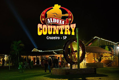
Aldeia Country Bar
70.8 km
Discover the heart of Cruzeiro's nightlife at Aldeia Country Bar, where music, dance, and vibrant energy come together for an unforgettable experience.
Sede Social do Diretório Central Estudantil da Unifei - Bar Cultural
87.0 km
Discover the vibrant nightlife at Sede Social do Diretório Central Estudantil da Unifei, a cultural bar and club in Itajubá, Minas Gerais.
Circuito Alternativo
88.4 km
Discover Lavras' vibrant nightlife at Circuito Alternativo, a premier disco club offering an unforgettable experience with music, dancing, and socializing.
Boate Jaqueline Drinks
90.5 km
Dive into the vibrant nightlife at Boate Jaqueline Drinks, where unforgettable parties and exquisite drinks await in Itajubá.