Fort Creek Conservation Area: Nature's Tranquil Escape
Discover Sault Ste. Marie's natural beauty at Fort Creek Conservation Area: trails, wildlife, and year-round outdoor activities in a tranquil urban setting.
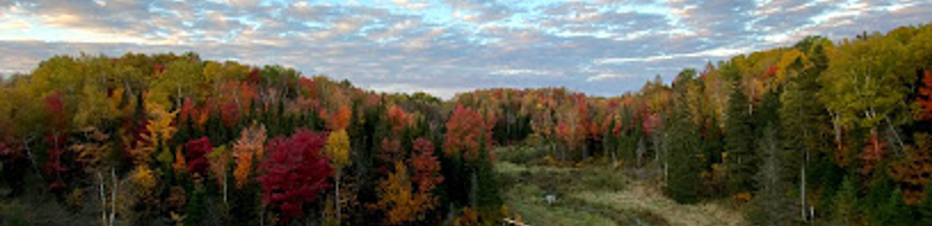
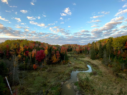
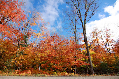
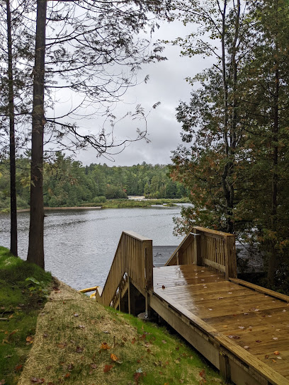
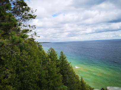
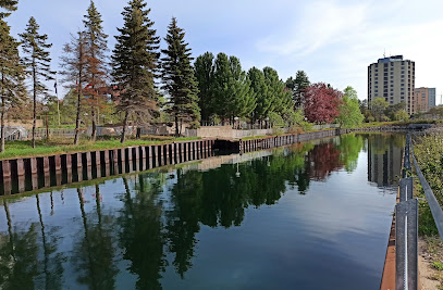
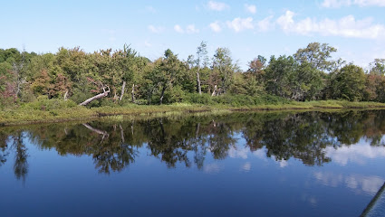
Fort Creek Conservation Area, a 191-acre green space in Sault Ste. Marie, offers a tranquil escape with hiking trails, a dam and reservoir, and diverse wildlife. Originally purchased for flood control, it now provides year-round recreational opportunities and a vital habitat for local flora and fauna.
A brief summary to Fort Creek Conservation Area
- 1100 Fifth Line E, Sault Ste. Marie, Ontario, P6A 6J8, CA
- +1705-946-8530
- Visit website
Local tips
- Check the Sault Ste. Marie Region Conservation Authority (SSMRCA) website for trail updates and closures before your visit.
- Bring binoculars for birdwatching and keep an eye out for local wildlife along the trails.
- In winter, dress warmly and wear appropriate footwear for snowshoeing or cross-country skiing.
- Follow trail etiquette: stay on marked paths, pack out all trash, and keep dogs on a leash.
Getting There
-
Walking
From the intersection of Second Line East and Peoples Road, walk east along Second Line East for approximately 1 km. The entrance to Fort Creek Conservation Area will be on your right,look for the driveway just past the Finnish Rest Home. Note that the entrance is not well-signed.
-
Public Transport
Sault Ste. Marie Transit provides bus service along Second Line East. Check the Sault Ste. Marie Transit website for the most up-to-date routes and schedules. From the nearest bus stop on Second Line East, follow the walking directions above to the conservation area entrance. A single fare is around $3.00 CAD.
-
Taxi/Ride-share
From the Sault Ste. Marie Airport (YAM), a taxi or ride-share to Fort Creek Conservation Area will cost approximately $45 CAD. The drive is about 19 km. Tell your driver to take you to 1100 Fifth Line East, Sault Ste. Marie. Note that pre-booking is recommended.
Discover more about Fort Creek Conservation Area
Iconic landmarks you can’t miss
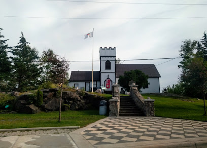
Fort Creek Conservation Area
0.0 km
Discover Sault Ste. Marie's natural beauty at Fort Creek Conservation Area: trails, wildlife, and year-round outdoor activities in a tranquil urban setting.
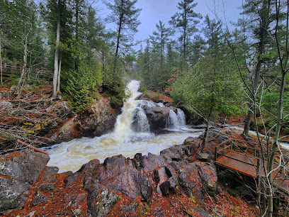
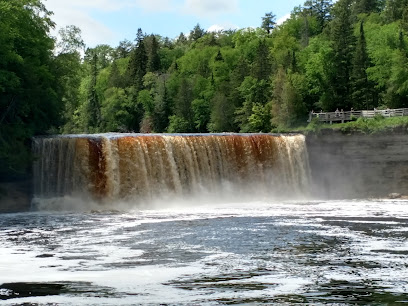
Crystal Falls
7.9 km
Explore the breathtaking beauty of Crystal Falls in Sault Ste. Marie, Ontario, where nature's tranquility meets stunning views and adventure awaits.
Tahquamenon Falls State Park Rivermouth Campgrounds
52.9 km
Experience the breathtaking beauty of Tahquamenon Falls State Park Rivermouth Campgrounds, a nature lover's paradise in Michigan's wilderness.
Curley Lewis Memorial Highway
57.3 km
Explore the breathtaking Curley Lewis Memorial Highway in Michigan's Upper Peninsula, where stunning vistas of Lake Superior await every traveler.
Tahquamenon State Park - Lower Falls Hemlock
66.3 km
Experience the breathtaking beauty of Tahquamenon State Park's Lower Falls Hemlock, a perfect retreat for nature lovers and outdoor enthusiasts in Michigan.
Tahquamenon Falls Brewery & Pub
69.7 km
Discover local craft brews and delicious fare at Tahquamenon Falls Brewery & Pub, surrounded by stunning natural beauty in Michigan's Upper Peninsula.
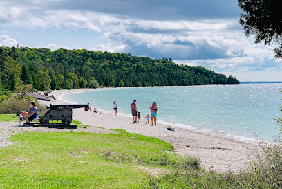
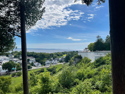
British Landing
77.2 km
Experience the tranquil beauty and rich history of British Landing on Mackinac Island, a hidden gem for every traveler seeking relaxation and adventure.
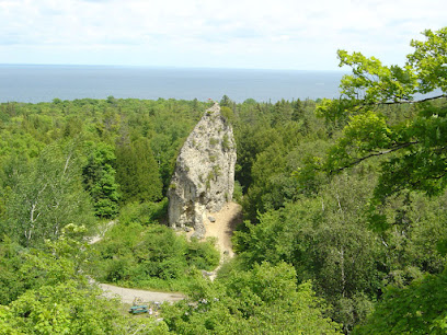
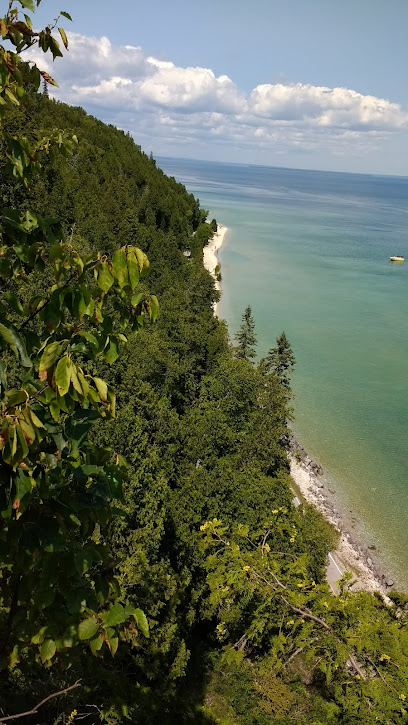
Sugar Loaf Rock
78.3 km
Discover the stunning Sugar Loaf Rock on Mackinac Island, a natural masterpiece offering breathtaking views and unforgettable outdoor adventures.
Nicolet Watch Tower
78.5 km
Discover the stunning vistas of Lake Huron and lush landscapes at Nicolet Watch Tower on Mackinac Island, a scenic spot for nature lovers.
Forge a Memory
79.2 km
Experience the timeless craft of blacksmithing at Forge a Memory on Mackinac Island, a unique destination for art and history enthusiasts.
Mission Point Resort
79.2 km
Discover the enchanting Mission Point Resort on Mackinac Island, where stunning lake views meet modern amenities for a memorable getaway.

Somewhere In Time Gazebo
79.3 km
Discover the serene beauty of Somewhere In Time Gazebo on Mackinac Island, a picturesque garden oasis perfect for relaxation and romantic moments.
Sunset Rock
79.4 km
Experience the captivating beauty of Sunset Rock on Mackinac Island, where stunning views and tranquil surroundings await every explorer.
Harbour View Inn - Mackinac Island, MI
79.4 km
Discover the enchanting Harbour View Inn on Mackinac Island, blending historical charm with modern comfort for an unforgettable getaway.
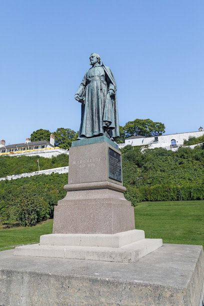
Marquette Statue
79.4 km
Explore Mackinac Island's Marquette Statue, a historic tribute to Father Jacques Marquette, set amidst the natural beauty of Marquette Park.
Unmissable attractions to see
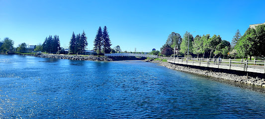
Sault Ste. Marie Boardwalk
3.3 km
Explore nature and culture at the stunning Sault Ste. Marie Boardwalk, where scenic views meet outdoor adventure along the St. Mary's River.
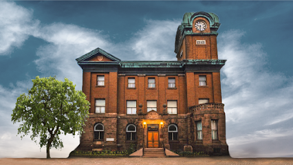
Sault Ste. Marie Museum
3.8 km
Explore the captivating history of Sault Ste. Marie at the Sault Ste. Marie Museum, where local stories and artifacts come to life.
Clergue Park
3.8 km
Explore Clergue Park for stunning river views, recreational activities, and family-friendly spaces in Sault Ste. Marie.
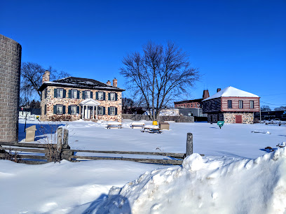
Ermatinger Clergue National Historic Site
4.0 km
Explore the Ermatinger Clergue National Historic Site, a heritage museum in Sault Ste. Marie offering insights into local history and culture.
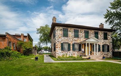
Ermatinger Old Stone House
4.0 km
Discover the rich history and architectural beauty of Ermatinger Old Stone House in Sault Ste. Marie, a must-visit historical attraction in Ontario.
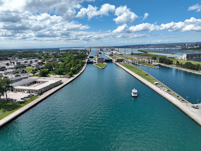
Soo Locks
4.1 km
Discover the engineering marvel of the Soo Locks in Sault Ste. Marie, Michigan, where ships traverse the Great Lakes through historic locks.
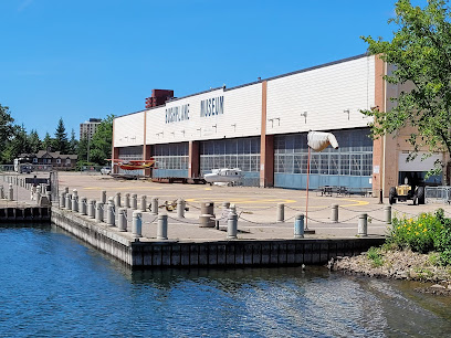
Canadian Bushplane Heritage Centre
4.2 km
Discover the legacy of bush flying at the Canadian Bushplane Heritage Centre in Sault Ste. Marie, a unique museum celebrating aviation history.
Soo Locks Visitor Center
4.3 km
Discover the engineering marvels and rich maritime history at the Soo Locks Visitor Center, a premier tourist attraction in Sault Ste. Marie.
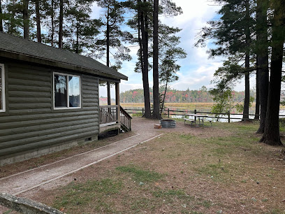
Gros Cap Conservation Area
18.5 km
Discover the tranquility and natural beauty of Gros Cap Conservation Area, a must-visit nature preserve in Sault Ste. Marie, Ontario.
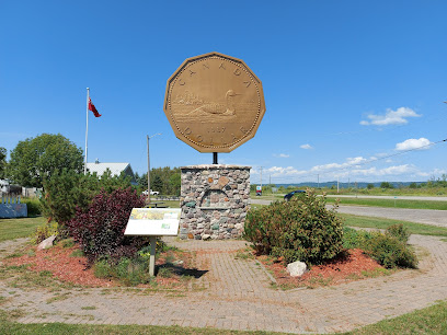
Loon Dollar Monument
21.5 km
Explore the Loon Dollar Monument in Echo Bay, a unique tribute to Canadian heritage and wildlife, surrounded by stunning Ontario landscapes.
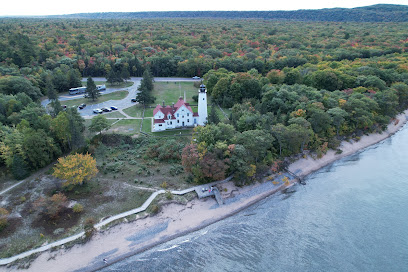
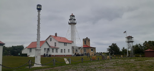
Point Iroquois Lighthouse
22.9 km
Explore the historic Point Iroquois Lighthouse in Brimley, Michigan, a stunning landmark offering breathtaking views and rich maritime heritage.
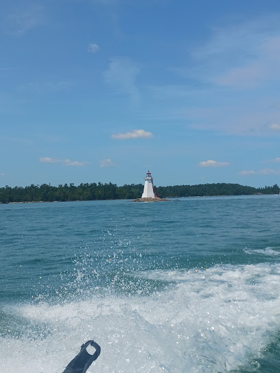
West Sister Rock Lighthouse, llc
42.1 km
Discover the historical charm of West Sister Rock Lighthouse in St. Joseph, Ontario, where maritime history meets breathtaking natural beauty.
St. Joseph Island Museum
42.8 km
Explore the captivating history of St. Joseph Island at the St. Joseph Island Museum, where local heritage meets natural beauty in Ontario.
Halfway Point of the Trans-Canada Highway
43.6 km
Experience the breathtaking beauty of Ontario at the Halfway Point of the Trans-Canada Highway, a scenic stop for all travelers.
The Bruce Mines Museum
50.3 km
Explore the rich heritage of Bruce Mines at The Bruce Mines Museum, a treasure trove of local history and culture in Ontario.
Essential places to dine
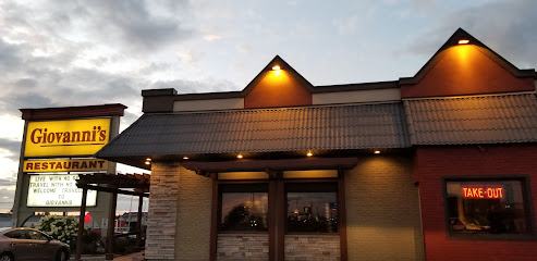
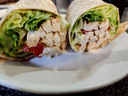
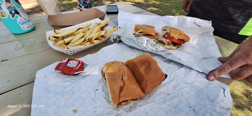
Giovanni's Restaurant
2.0 km
Discover authentic Italian cuisine at Giovanni's Restaurant in Sault Ste. Marie—where every meal tells a story.
Pizza Hut Sault Ste. Marie
2.1 km
Discover delicious pizzas and friendly service at Pizza Hut Sault Ste. Marie - your perfect dining destination in Ontario.

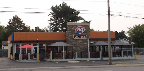
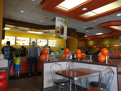
Dairy Queen Grill & Chill
2.1 km
Experience delicious fast food and irresistible ice cream treats at Dairy Queen Grill & Chill in Sault Ste. Marie.
A&W Canada
2.2 km
Discover the flavors of Canada at A&W Canada, where delicious burgers and hearty breakfasts await every traveler.
The INN
53.8 km
Discover delightful dining at The INN in Paradise, Michigan - where fresh ingredients meet stunning natural views.
Little Falls Inn
53.8 km
Experience authentic American cuisine at Little Falls Inn in Paradise, MI - where local flavors meet stunning natural beauty.
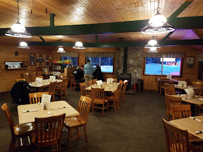
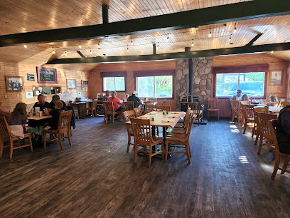
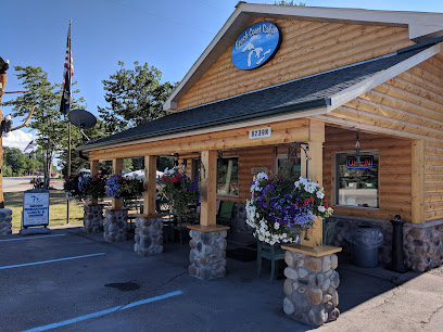
Fresh Coast Cafe'
53.9 km
Discover Fresh Coast Cafe', where delicious local cuisine meets stunning natural beauty in Paradise, Michigan.
Ebby’s
54.2 km
Discover the flavors of Paradise at Ebby’s – where every dish tells a story and every visit is special.
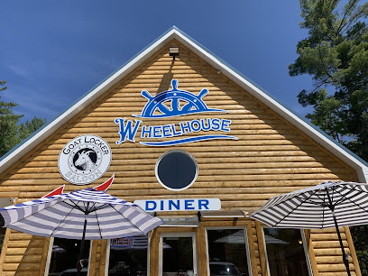
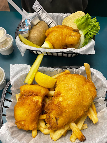
Wheelhouse Diner & Goatlocker Saloon
54.3 km
Discover delicious home-cooked meals at Wheelhouse Diner & Goatlocker Saloon in Paradise, Michigan – a perfect stop after exploring Tahquamenon Falls.
Brown Fisheries Fish House
54.5 km
Discover delectable seafood at Brown Fisheries Fish House in Paradise, Michigan—a must-visit culinary gem surrounded by nature's beauty.
Tahquamenon Pizza
65.7 km
Discover delicious takeout pizza in Paradise, Michigan at Tahquamenon Pizza—where quality ingredients meet local charm.

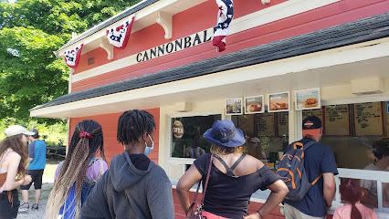
Cannonball Oasis
77.2 km
Savor delicious barbecue and ice cream at Cannonball Oasis, your ultimate fast-food destination on beautiful Mackinac Island.
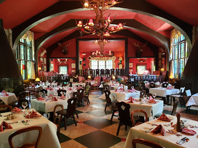
Woods Restaurant
79.0 km
Experience exceptional dining at Woods Restaurant in Mackinac Island, where local flavors meet stunning ambiance for an unforgettable meal.
Chianti
79.1 km
Experience culinary excellence at Chianti on Mackinac Island—where gourmet cuisine meets stunning lakeside views.
Round Island Kitchen
79.2 km
Discover mouthwatering cuisine and breathtaking views at Round Island Kitchen on Mackinac Island – a true culinary escape.
Markets, malls and hidden boutiques
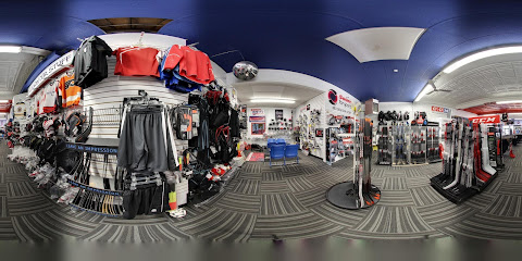
Soo Source For Sports
2.8 km
Explore Soo Source For Sports in Sault Ste. Marie for top-notch hockey gear and sporting goods, catering to enthusiasts and athletes alike.
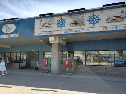
Great Lakes Gifts
4.3 km
Discover unique souvenirs and local crafts at Great Lakes Gifts, the perfect stop for travelers in Sault Ste. Marie, Michigan.
The Mole Hole
4.4 km
Explore The Mole Hole, a charming gift shop in Sault Ste. Marie, MI, offering unique souvenirs and local treasures that capture the essence of your visit.
The Little Gift Shop
4.4 km
Explore The Little Gift Shop in Sault Ste. Marie for unique, locally crafted gifts that capture the spirit of Michigan.
UP North Wilderness
4.7 km
Explore the unique offerings of UP North Wilderness, your go-to gift shop for local crafts, camping gear, and charming home essentials in Sault Ste. Marie, Michigan.
Manufacture Art
14.4 km
Discover the heart of local creativity at Manufacture Art, where handmade treasures and artistic expressions await every visitor.
Agawa Crafts and the Canadian Carver
53.1 km
Explore Agawa Crafts and the Canadian Carver for unique handcrafted gifts that embody the spirit of Canadian culture and artistry.
The North Corner Store
53.8 km
Discover the convenience and charm of The North Corner Store in Paradise, MI, your essential stop for snacks, drinks, and local treasures.
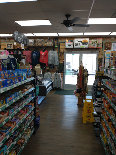
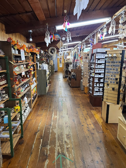
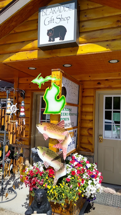
Bearadice Gift Shop
53.9 km
Explore Bearadice Gift Shop in Paradise, Michigan, for unique souvenirs and local crafts that embody the spirit of the Upper Peninsula.
Tahquamenon Falls Camp Store
65.7 km
Explore the beauty of Tahquamenon Falls with a visit to the camp store, your one-stop shop for essentials & local treats in Michigan's Upper Peninsula.
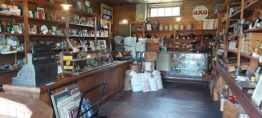
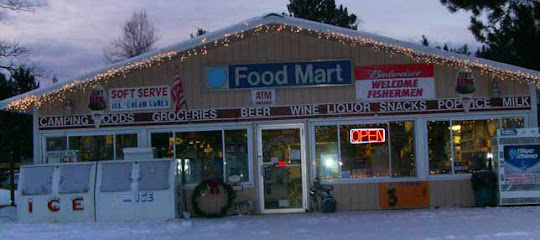
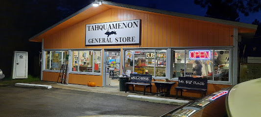
Gene's Tahquamenon General Store
65.7 km
Discover Gene's Tahquamenon General Store, your one-stop destination for camping gear and local goodies in Michigan's Upper Peninsula.
GENES TAHQUAMENON
65.7 km
Experience the warm hospitality and local delights at Genes Tahquamenon, your perfect stop in Paradise, Michigan.
Lower Tahquamenon Café and Gift Shop
66.3 km
Experience local flavors and unique gifts at the Lower Tahquamenon Café and Gift Shop, the perfect stop for travelers in Paradise, Michigan.
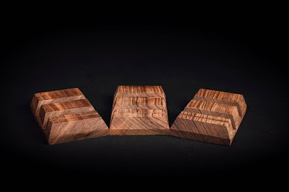
Solid Wooden Products Slovakia s.r.o.
68.1 km
Explore the artistry of Slovak woodworking at Solid Wooden Products Slovakia, where tradition meets modern design in exquisite wooden creations.
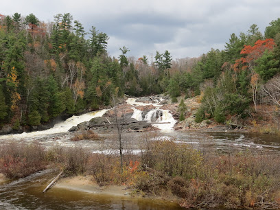
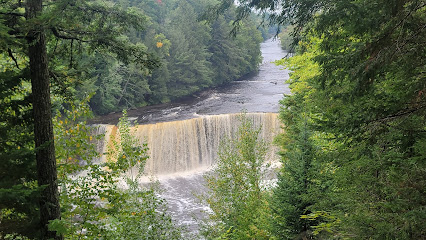
Tahquamenon Upper Falls Parking Lot
69.6 km
Experience the breathtaking beauty of Tahquamenon Upper Falls, a stunning waterfall in Michigan's Upper Peninsula surrounded by lush forests and hiking trails.
Essential bars & hidden hideouts
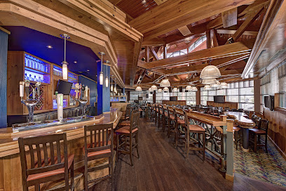
Water Tower Pub
2.0 km
Experience the local flavor at Water Tower Pub, where delicious food and a vibrant atmosphere meet in Sault Ste. Marie.
The Whisky Barrel
2.5 km
Explore the best of local beers and whiskies at The Whisky Barrel, a cozy pub in Sault Ste. Marie, Ontario, perfect for tourists looking for authentic flavors.
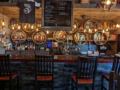
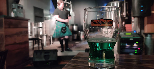
Outspoken Brewing
3.1 km
Experience the vibrant craft beer culture at Outspoken Brewing, where quality brews meet a lively atmosphere in Sault Ste. Marie, Ontario.
The Zone Roadhouse
20.2 km
Discover the vibrant atmosphere of The Zone Roadhouse, a must-visit bar in Goulais River for locals and tourists alike, offering refreshing drinks and great company.
McCauley's Havilland Bay
31.0 km
Experience the perfect blend of culinary delight and cozy accommodations at McCauley's Havilland Bay in Ontario's picturesque Algoma region.
Whisky Rocks
36.0 km
Experience the charm of Whisky Rocks, a cozy bar in Richards Landing, Ontario, offering a wide selection of whiskies and a warm atmosphere.
Huck's Pub & Grill
39.4 km
Discover the charm of Huck's Pub & Grill in Rudyard, MI – your go-to spot for delicious food, friendly faces, and a cozy atmosphere.
Magnuson Grand Hotel Lakefront Paradise
53.7 km
Discover the serene beauty of Magnuson Grand Hotel Lakefront Paradise in Michigan, where comfort meets nature's splendor.
Curley's Paradise Motel
53.8 km
Discover the beauty of Michigan’s Upper Peninsula at Curley's Paradise Motel, your ideal base for exploring Tahquamenon Falls and nature’s wonders.
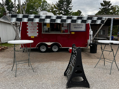
Lake Superior Whitefish
53.8 km
Experience the authentic taste of Lake Superior with delectable whitefish dishes in the heart of Paradise, Michigan.
Snowflake
53.9 km
Discover Snowflake in Paradise, MI, where every scoop of ice cream is a delightful treat amidst stunning natural beauty.
Catch of the Day
53.9 km
Discover the freshest seafood in Paradise, Michigan at Catch of the Day, where culinary delights meet stunning lake views.
Paradise Inn & Suites
53.9 km
Experience the serenity and natural beauty of Paradise, Michigan at Paradise Inn & Suites, your gateway to adventure and relaxation.
Freighters View On the Bay
54.1 km
Discover the tranquility of Freighters View On the Bay, where stunning views and serene nature create the perfect getaway in Paradise, Michigan.
Tahquamenon Falls State Park - Lower Falls Portage Campground
65.6 km
Experience the stunning natural beauty of Tahquamenon Falls State Park - Lower Falls Portage Campground, a serene retreat for nature lovers and adventure seekers.
Nightclubs & after hour spots
Club 365
4.1 km
Discover the electric nightlife of Sault Ste. Marie at Club 365, where music and excitement converge for an unforgettable experience.
Audubon Wine bar
79.6 km
Experience the enchanting ambiance of Audubon Wine Bar on Mackinac Island, where fine wines and cozy vibes create memorable moments.
Patrick Sinclair's Irish Pub
79.8 km
Discover the warmth of Irish hospitality at Patrick Sinclair's Irish Pub on Mackinac Island, serving traditional fare and drinks in a cozy setting.


