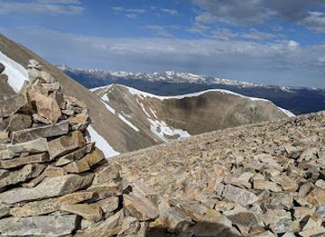
Mt Sherman
Mount Sherman: A Beginner-Friendly Fourteener
Experience a thrilling off-road journey through history on Mosquito Pass, one of Colorado's highest and most scenic mountain passes. Open seasonally to 4x4 vehicles.
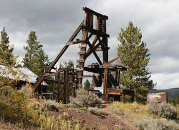
Mosquito Pass, one of Colorado's highest mountain passes at 13,185 feet, offers a thrilling off-road adventure steeped in mining history. Connecting Leadville and Fairplay, this challenging route rewards experienced drivers with stunning views and a glimpse into the state's rugged past.
Opening times, essentials, and a few local tips gathered into one calmer, easier-to-scan planning section.
Driving
From Fairplay, follow Colorado Highway 9 north for approximately 4.5 miles to County Road 12 (Mosquito Pass Road). Turn left onto CR12. The unpaved section of Mosquito Pass Road begins shortly after turning off Highway 9. From Leadville, head east on 7th Street, which becomes County Road 3. Continue for roughly 3 miles until the intersection at the Diamond Mine, stay to the north (left) going off the graded two way onto the 4x4 road towards Birds Eye Gulch Road. Be aware that the road is very rough and narrow with steep cliffs. Proceed with caution. There are no fees to access Mosquito Pass.
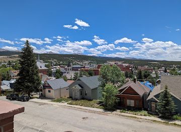
Use Tower Bridge as your starting point for nearby food, family ideas, nightlife, and more local discoveries.

Explore expert travel guides, compare and book tours, experiences, hotels, and more—all from the palm of your hand. Download now for seamless trip planning wherever your wanderlust takes you.
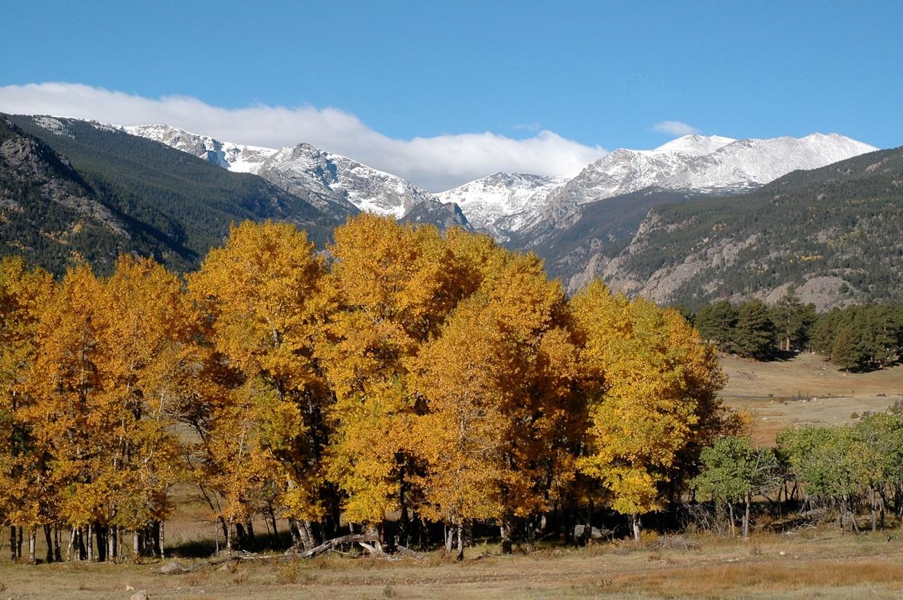
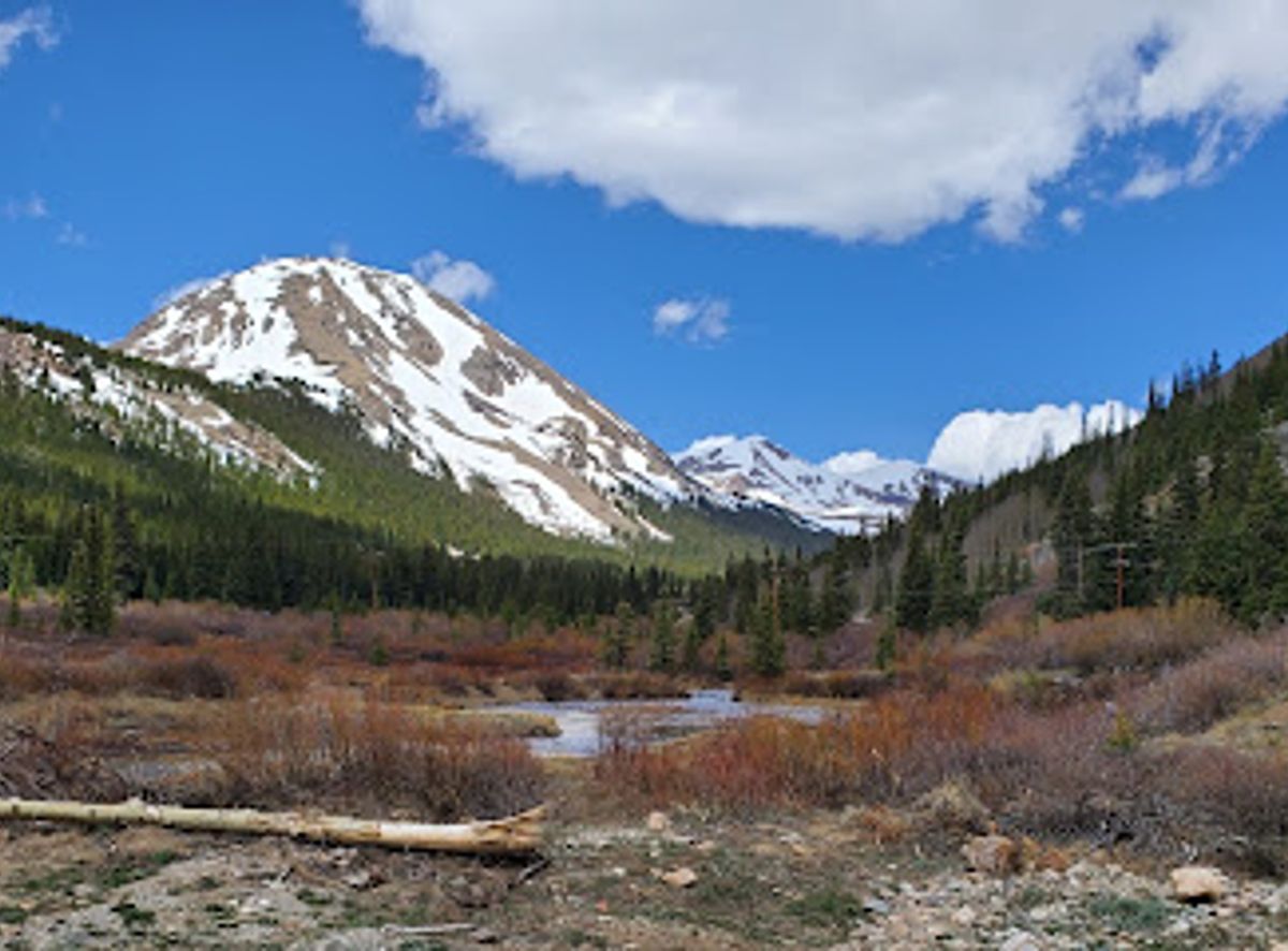
Discover the awe-inspiring beauty and endless adventures of Colorado’s Rocky Mountains, a stunning destination for nature lovers and thrill-seekers alike.
Tell me more about Rocky Mountains