From Eve
Know before you go
Hi, I'm Eve. Here are a few practical things to know before exploring Mount Elbert.
Local know-how to help you travel smarter and make the most of every moment.
Conquer Colorado's highest peak! Hike Mount Elbert for breathtaking views and a rewarding high-altitude adventure in the Rocky Mountains.
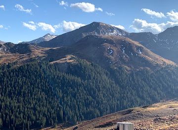
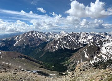
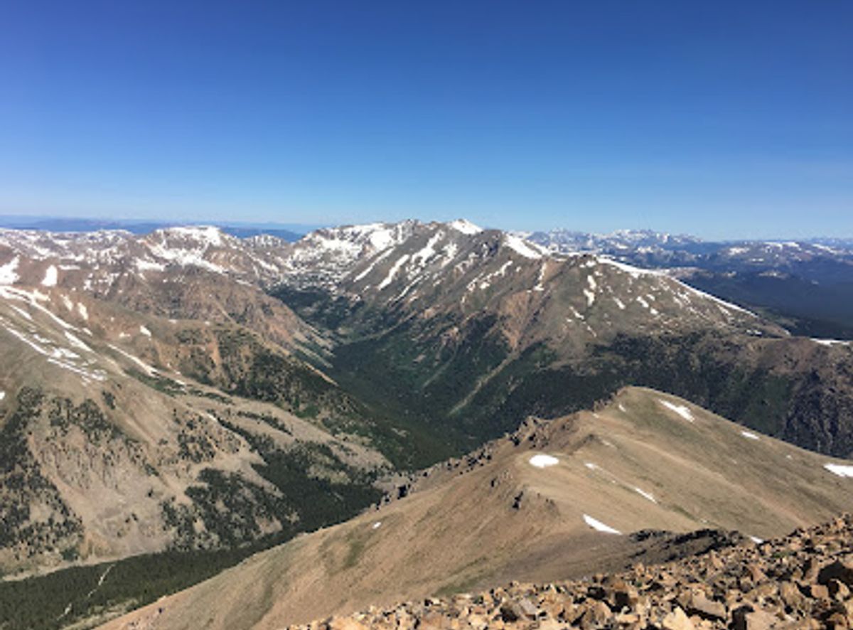
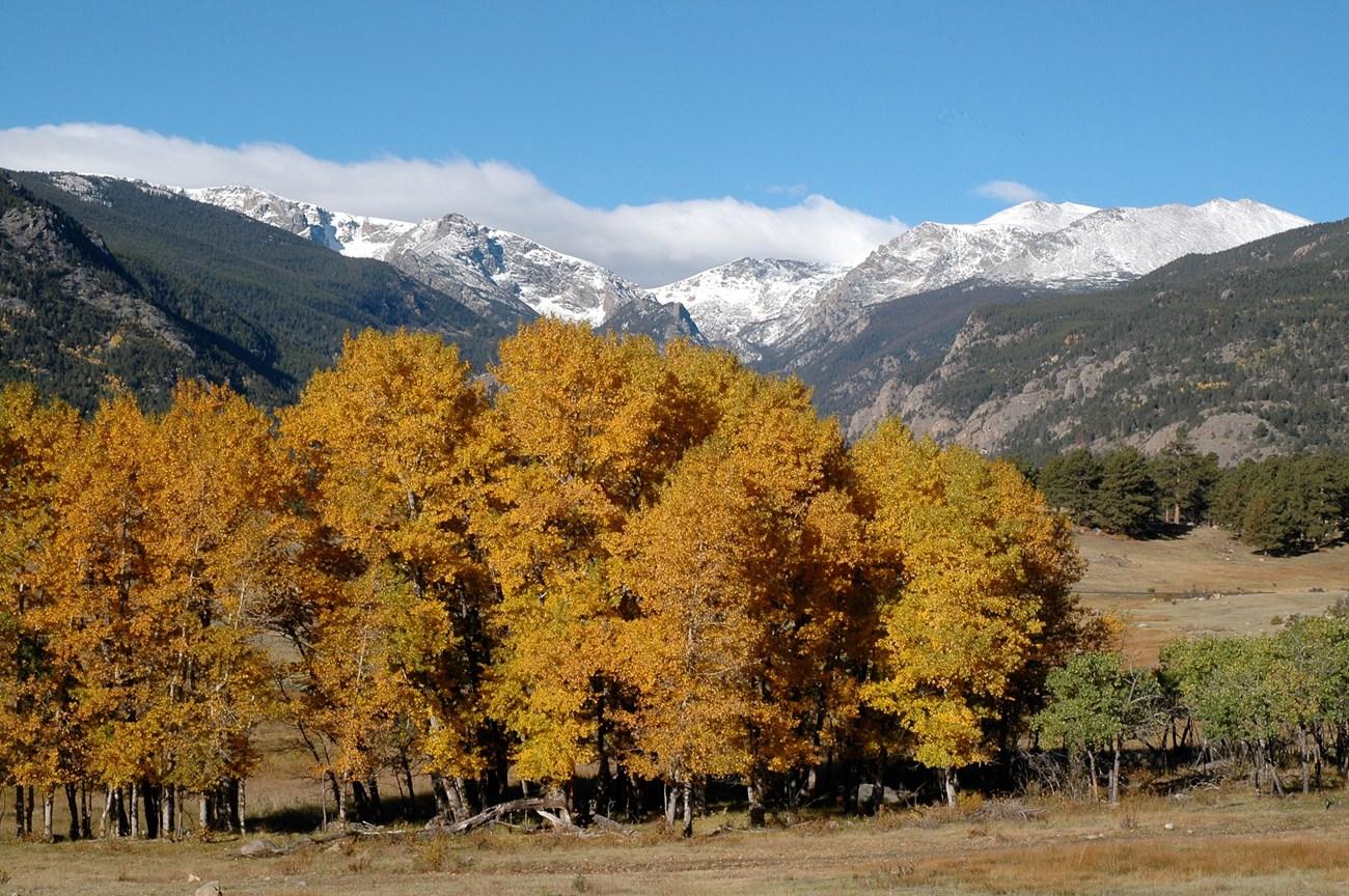
Mount Elbert, the highest peak in Colorado and the second-highest in the contiguous United States, offers a challenging yet accessible climb for hikers of all levels. Known as the 'Gentle Giant,' its non-technical routes provide stunning views of the surrounding Sawatch Range and the vast San Isabel National Forest.
Opening times, essentials, and a few local tips gathered into one calmer, easier-to-scan planning section.
Hi, I'm Eve. Here are a few practical things to know before exploring Mount Elbert.
Local know-how to help you travel smarter and make the most of every moment.
Driving
Most visitors drive to Mount Elbert from Leadville, CO. From Leadville, head west/south on US-24. About 3 miles from Leadville, turn onto CO-300 West. After 0.8 miles, turn left onto Halfmoon Road. Continue for 5 miles on Halfmoon Road to reach the North Mount Elbert Trailhead, located across from the Elbert Creek Campground. Parking is free but fills up quickly, especially on weekends. Consider arriving early or carpooling. Note: Halfmoon Road is a dirt road that can be rough in places. Check road conditions before you go, especially during the spring and early summer.
Walking
From the North Mount Elbert Trailhead, the route heads south down the well-marked Main Range/Colorado Trail. The North Mount Elbert trail forks right off the Main Range/Colorado Trail. Follow the trail all the way to the summit. The trail is well-maintained and easy to follow, but it is steep in places. Be sure to wear appropriate footwear and bring plenty of water.
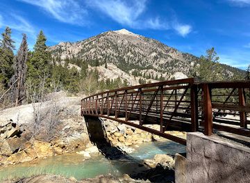
Use Tower Bridge as your starting point for nearby food, family ideas, nightlife, and more local discoveries.

Explore expert travel guides, compare and book tours, experiences, hotels, and more—all from the palm of your hand. Download now for seamless trip planning wherever your wanderlust takes you.
Discover the awe-inspiring beauty and endless adventures of Colorado’s Rocky Mountains, a stunning destination for nature lovers and thrill-seekers alike.
Tell me more about Rocky Mountains