From Eve
Know before you go
Hi, I'm Eve. Here are a few practical things to know before exploring Independence Pass.
Local know-how to help you travel smarter and make the most of every moment.

Experience breathtaking alpine scenery and historic sites on this seasonal scenic byway connecting Aspen and Twin Lakes, Colorado.
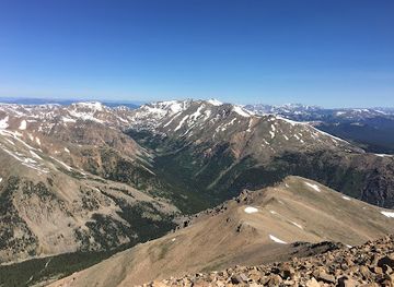
Independence Pass, a high mountain pass in central Colorado, is a scenic byway renowned for its stunning alpine views and challenging drive. At an elevation of 12,095 feet, it's the second-highest paved through road in Colorado, connecting Aspen and Twin Lakes. Open seasonally, it offers access to hiking, ghost towns, and breathtaking vistas.
Opening times, essentials, and a few local tips gathered into one calmer, easier-to-scan planning section.
Hi, I'm Eve. Here are a few practical things to know before exploring Independence Pass.
Local know-how to help you travel smarter and make the most of every moment.
Driving
From Aspen, head east on Highway 82. The drive is approximately 20 miles to the summit, winding through groves of aspen and pine trees. Be prepared for narrow, winding roads with steep inclines. There are several pull-off points along the way to stop and admire the scenery. Note that commercial and recreational vehicles longer than 35 feet are prohibited. There are no tolls or parking fees.
Biking
Road biking on Independence Pass is popular during the open season. From Aspen, follow Highway 82 east. The climb to the Continental Divide is challenging, with steep grades and narrow sections. Be aware of vehicle traffic. There are no specific bike transport services, but some local transportation companies may offer rides back to Aspen with bike racks. There are no fees associated with biking the pass.
Use Tower Bridge as your starting point for nearby food, family ideas, nightlife, and more local discoveries.

Explore expert travel guides, compare and book tours, experiences, hotels, and more—all from the palm of your hand. Download now for seamless trip planning wherever your wanderlust takes you.
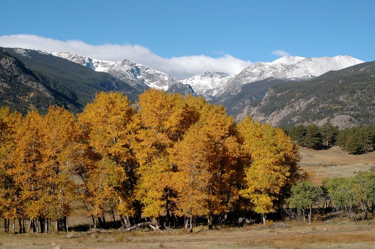
Discover the awe-inspiring beauty and endless adventures of Colorado’s Rocky Mountains, a stunning destination for nature lovers and thrill-seekers alike.
Tell me more about Rocky Mountains