Discover the Historical Significance of the CT MA Survey Marker
Explore the CT MA Survey Marker in Stafford, CT: A historical landmark marking the boundary between Connecticut and Massachusetts.
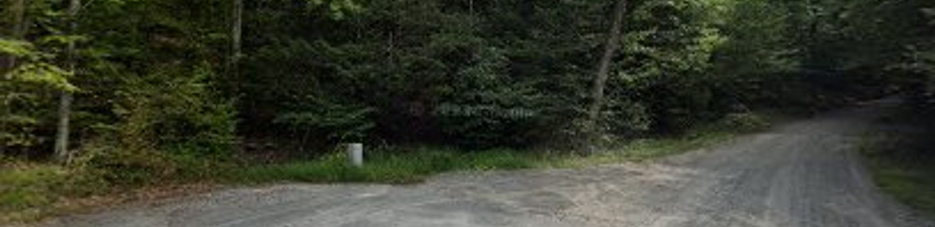
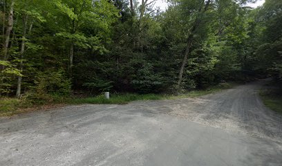
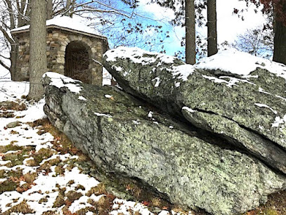
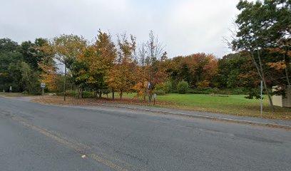
Nestled in Stafford, Connecticut, the CT MA Survey Marker is a fascinating historical landmark that marks the boundary between Connecticut and Massachusetts. This site is perfect for history enthusiasts and curious travelers seeking to explore the rich heritage of the region. Visitors can enjoy the serene surroundings while taking in the significance of this geographical marker, making it an ideal stop for a quick yet enriching experience.
A brief summary to CT MA Survey Marker
- Stafford, Connecticut, US
- Visit website
Local tips
- Visit during daylight hours for the best visibility and photography opportunities.
- Bring a picnic to enjoy in the spacious area surrounding the marker.
- Consider researching the history of surveying in the area to enhance your visit.
Getting There
-
Car
If you're driving, start from Hartford and take I-91 N towards Springfield. After about 15 miles, take exit 47 for CT-190 E toward Stafford. Continue on CT-190 E for approximately 10 miles. Once you enter Stafford, look for signs directing you to the CT MA Survey Marker. The marker is located at the coordinates 42.032946, -72.389232. The area is spacious enough for parking.
-
Public Transportation
To reach the CT MA Survey Marker via public transportation, take CT Transit Bus 89 from Hartford. This bus will take you towards Stafford. You may need to transfer to Bus 902 at the Stafford Depot, which will take you closer to the marker. Upon reaching the vicinity of the marker, you can walk approximately 1 mile to the exact location (42.032946, -72.389232). Ensure to check the bus schedule for the most accurate timings.
Discover more about CT MA Survey Marker
Iconic landmarks you can’t miss
CT MA Survey Marker
0.0 km
Explore the CT MA Survey Marker in Stafford, CT: A historical landmark marking the boundary between Connecticut and Massachusetts.
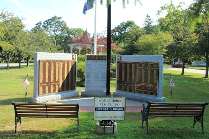
Wall of Honor
10.1 km
Discover the Wall of Honor in Stafford Springs, a poignant historical landmark celebrating local military heroes and their sacrifices in a serene setting.
Tolland Jail Museum
18.0 km
Explore the Tolland Jail Museum in Connecticut and uncover the intriguing stories of the past within its historic walls, a gem for history enthusiasts and curious minds.
Old Tolland County Court House Museum
18.0 km
Discover Connecticut's legal history at the Old Tolland County Court House Museum, a captivating historical attraction in Tolland.
Springfield City Hall
18.2 km
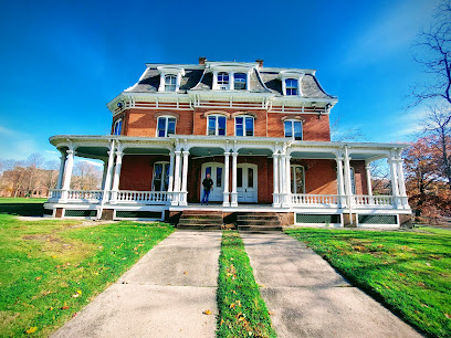
Discover the architectural beauty and historical significance of Springfield City Hall, a landmark that embodies the spirit of Massachusetts.
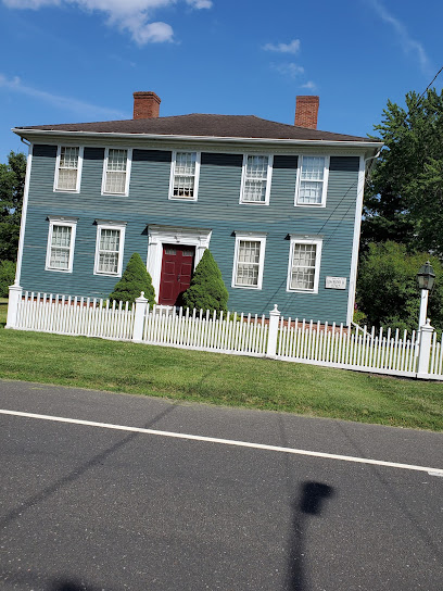
Oliver Ellsworth Homestead
25.9 km
Explore the Oliver Ellsworth Homestead, a historic landmark in Windsor, CT, and uncover the rich heritage of America's founding era.
New England Air Museum
26.7 km
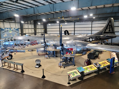
Discover the fascinating world of aviation at the New England Air Museum, showcasing historic aircraft and engaging exhibits for all ages.
Connecticut State Museum of Natural History
27.1 km
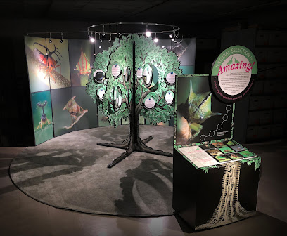
Explore the Connecticut State Museum of Natural History for a captivating journey through the wonders of nature and the state's rich ecological heritage.
State Stones Pavilion
27.1 km
Explore the fascinating geological treasures at the State Stones Pavilion in Storrs, CT, showcasing the unique state stones of the USA in an engaging setting.
Union pond mill
27.2 km
Discover the historical charm of Union Pond Mill in Manchester, CT, a serene landmark reflecting the region's rich industrial heritage.
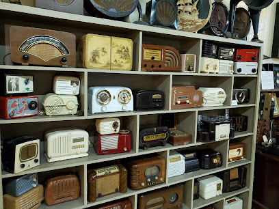
Vintage Radio & Communications Museum of CT
28.1 km
Explore the rich history of communication technology at the Vintage Radio & Communications Museum of Connecticut, a treasure trove for enthusiasts and curious minds.
Hezekiah Chaffee House
28.2 km
Discover the historical charm of the Hezekiah Chaffee House in Windsor, Connecticut, where the past comes alive through captivating exhibits and rich stories.
Palisado Avenue Historic District
28.3 km
Discover the rich history and stunning architecture of the Palisado Avenue Historic District in Windsor, Connecticut – a historical gem for all travelers.
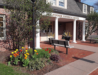
Windsor Historical Society
28.3 km
Discover the rich history of Windsor, Connecticut at the Windsor Historical Society, where engaging exhibits and historic houses await.
Deacon John Moore House
29.4 km
Uncover the rich history of the Deacon John Moore House, a charming historical landmark in Windsor, Connecticut, showcasing early American architecture.
Unmissable attractions to see
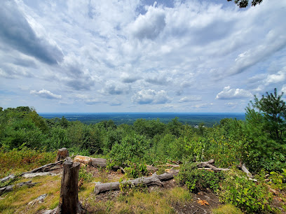
Minnechaug Mountain
3.8 km
Explore the breathtaking views and serene trails of Minnechaug Mountain, a hidden gem in Hampden, Massachusetts, perfect for outdoor adventures.
Hampden Historical Society
4.0 km
Explore the Hampden Historical Society, where the rich history of a charming Massachusetts town comes alive through engaging exhibits and artifacts.
Hampden Memorial Park
4.5 km
Explore Hampden Memorial Park, a serene haven of natural beauty and rich history in the heart of Massachusetts, perfect for relaxation and reflection.
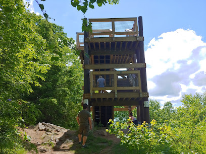
Shenipsit State Forest-Soapstone Mountain
8.1 km
Explore the stunning landscapes and vibrant wildlife of Shenipsit State Forest-Soapstone Mountain, a must-visit state park in Connecticut for outdoor enthusiasts.
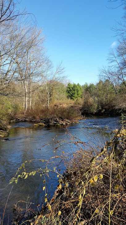
Scantic River State Park East
10.7 km
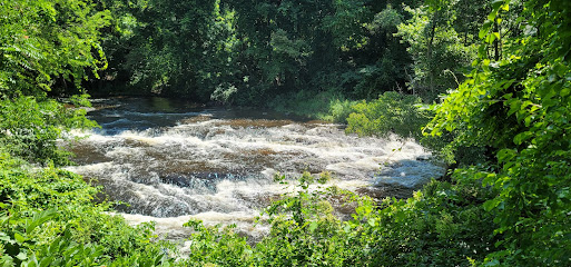
Explore the scenic trails and tranquil beauty of Scantic River State Park East, a perfect getaway for outdoor enthusiasts and families in Connecticut.
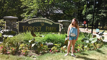
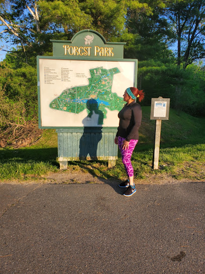
Zoo in Forest Park and Education Center
15.4 km
Explore diverse wildlife and enriching educational programs at the Zoo in Forest Park and Education Center, a family-friendly attraction in Springfield, MA.
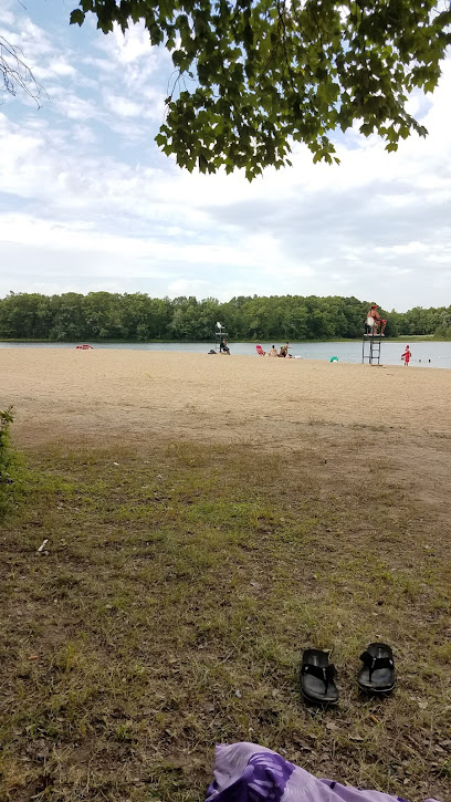
Five Mile Pond Park
15.6 km
Experience the tranquility of Five Mile Pond Park, a hidden gem in Springfield, MA, offering fishing, trails, and serene natural beauty.
Bright Nights at Forest Park
15.6 km
Discover the enchanting Bright Nights at Forest Park, a dazzling holiday light display in Springfield, Massachusetts, perfect for festive family fun.
Titanic Historical Society
16.8 km
Dive into the maritime history at the Titanic Historical Society, where the legacy of the RMS Titanic comes to life through captivating exhibits and artifacts.
Fannie Stebbins Memorial Wildlife Refuge
17.4 km
Explore the serene beauty of Fannie Stebbins Memorial Wildlife Refuge, a premier destination for wildlife observation and outdoor recreation in Massachusetts.
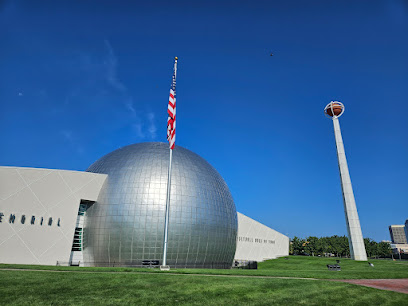
Naismith Basketball Hall of Fame
17.5 km
Explore the Naismith Basketball Hall of Fame in Springfield, MA, a tribute to basketball's legends and history with interactive exhibits and memorabilia.
Springfield Armory National Historic Site
17.9 km
Explore the rich history of American arms production at the Springfield Armory National Historic Site, a captivating museum in Springfield, Massachusetts.
MGM Springfield
17.9 km
Discover the ultimate fusion of excitement and luxury at MGM Springfield, the go-to destination for entertainment, dining, and relaxation in Massachusetts.

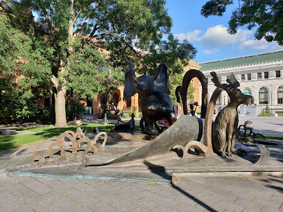
Dr. Seuss National Memorial Sculpture Garden
18.0 km
Discover the whimsical world of Dr. Seuss at the National Memorial Sculpture Garden in Springfield, MA—a delightful tribute to imagination and creativity.
Hicks-Stearns Family Museum
18.1 km
Explore the Hicks-Stearns Family Museum, a charming destination in Tolland, Connecticut, showcasing local history and family heritage through engaging exhibits.
Essential places to dine
Fire on the Mountain Smokehouse
22.3 km
Experience authentic American barbecue at Fire on the Mountain Smokehouse in Suffield, CT – where flavor meets tradition.
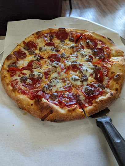
La Trattoria Pizzeria & Ristorante
26.6 km
Experience authentic Italian cuisine and mouth-watering pizzas at La Trattoria Pizzeria & Ristorante in Belchertown.
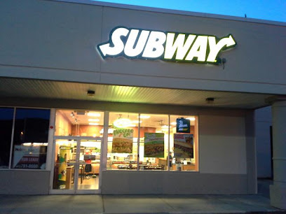
Subway
27.3 km
Discover delicious custom sandwiches at Subway in Ware, Massachusetts—perfect for travelers seeking quick bites on their journey.
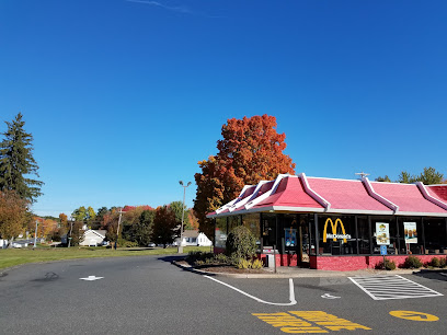
McDonald's
28.4 km
Discover fast food favorites at McDonald's in Belchertown—where convenience meets comfort in every bite.
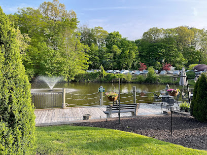
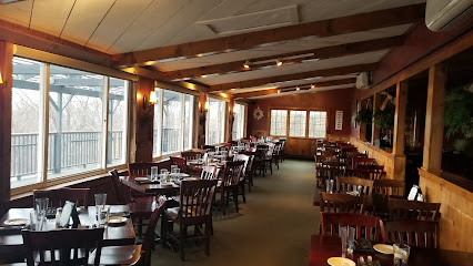
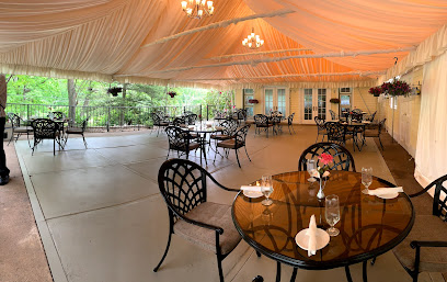
The Mill on the River
28.7 km
Experience exquisite American cuisine with stunning riverside views at The Mill on the River in South Windsor.
Tavern On the Hill
31.4 km
Discover Tavern On the Hill in Easthampton: where delicious cuisine meets breathtaking views for an unforgettable dining experience.
The Delaney House
32.1 km
Discover exceptional dining at The Delaney House in Holyoke - where local flavors meet exquisite cuisine in a charming setting.
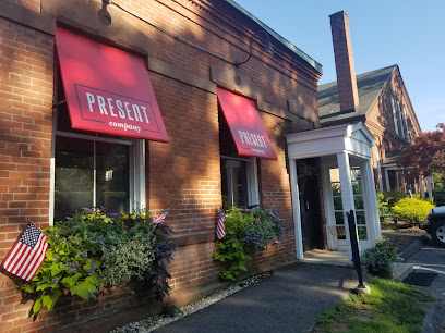
Present Company Restaurant
33.7 km
Experience exquisite New American cuisine at Present Company Restaurant in Tariffville, CT – where every dish tells a story.
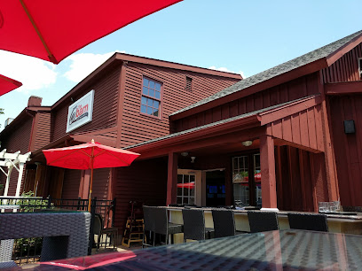
@ The Barn Restaurant
34.0 km
Experience delightful American cuisine at The Barn Restaurant in Granby – where rustic charm meets exceptional flavors.
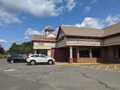
Harvest Cafe & Bakery
35.8 km
Discover Harvest Cafe & Bakery in Simsbury: A cozy American eatery offering fresh breakfast and lunch with locally-sourced ingredients.
Old Well Tavern
36.1 km
Experience hearty American cuisine at Old Well Tavern in Simsbury—a perfect blend of great food, drinks, and vibrant social atmosphere.
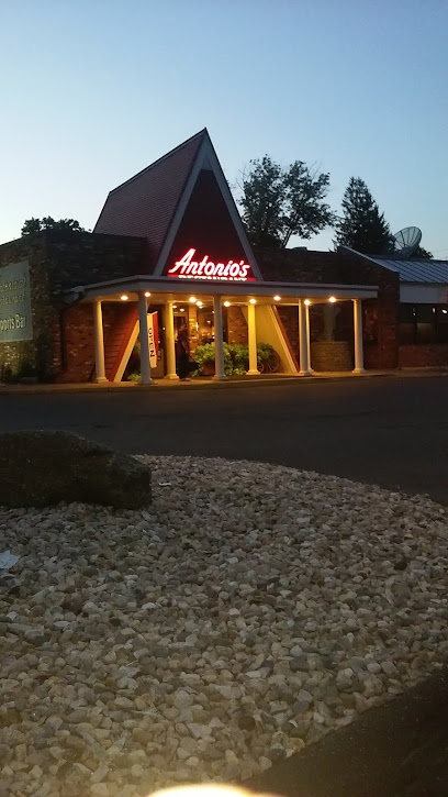
Antonio's Restaurant
36.2 km
Discover the authentic taste of Italy at Antonio's Restaurant in Simsbury - where every dish tells a story.
Aqui Me Quedo Restaurant II
37.4 km
Experience authentic Puerto Rican cuisine at Aqui Me Quedo Restaurant II in Hartford, where every dish tells a story.
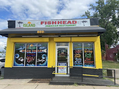
Island Fish Head Jamaican Restaurant and Jay’s Smoothie Bar
37.4 km
Experience authentic Caribbean flavors at Island Fish Head Jamaican Restaurant in Hartford - where every meal is a vibrant celebration of Jamaica's culinary heritage.
The Place 2 Be
37.6 km
Experience delightful brunch creations in downtown Hartford at The Place 2 Be – where innovation meets tradition in every bite.
Markets, malls and hidden boutiques
Bittersweet Country
10.7 km
Explore Bittersweet Country in Stafford Springs for unique antiques and charming gifts that embody the essence of country living.
Connecticut Valley Tobacconist
13.3 km
Explore Connecticut Valley Tobacconist: a tobacco haven in Enfield with premium cigars and accessories for enthusiasts and newcomers alike.
Bookends
16.2 km
Explore Bookends in Enfield, CT for a unique blend of gifts, lingerie, and adult novelty items in a vibrant shopping atmosphere.
Black Squirel Creative Designs
25.8 km
Discover unique handmade crafts and engage with local artisans at Black Squirrel Creative Designs in Ware, MA.
Great Threads Embroidery
26.7 km
Explore Great Threads Embroidery: Custom Creations in Belchertown, MA for Unique Souvenirs and Gifts.
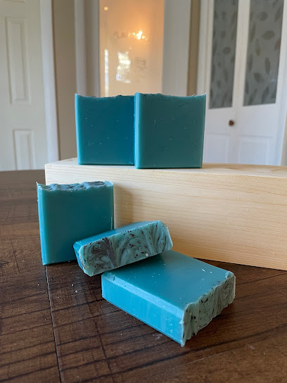
Cheeky Monkey Artisan Soap
26.9 km
Explore the delightful world of handmade soaps at Cheeky Monkey Artisan Soap, where quality and creativity come together for an exceptional self-care experience.
Cloud-9 Curiosities
27.1 km
Explore Cloud-9 Curiosities in Ware, MA for unique smoking accessories and vibrant local glass art, a true gem for discerning tourists.
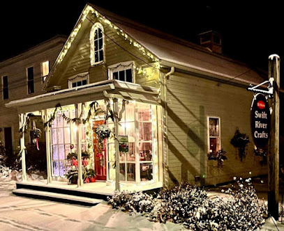
Swift River Crafts
27.5 km
Explore the enchanting Swift River Crafts in Belchertown, a treasure trove of unique handcrafted gifts and local artistry perfect for every visitor.
Green Light Bicycle Shop
27.5 km
Discover the ultimate cycling experience at Green Light Bicycle Shop, your go-to destination for bikes and expert repairs in Belchertown.

L&F Mercantile
27.6 km
Explore L&F Mercantile in Hardwick, MA for unique gifts, antiques, and local crafts that embody the spirit of the community and showcase local artisans.
Talk of the Town
28.1 km
Explore the charming Talk of the Town gift shop in Ware, MA, for unique finds and local treasures perfect for every traveler.
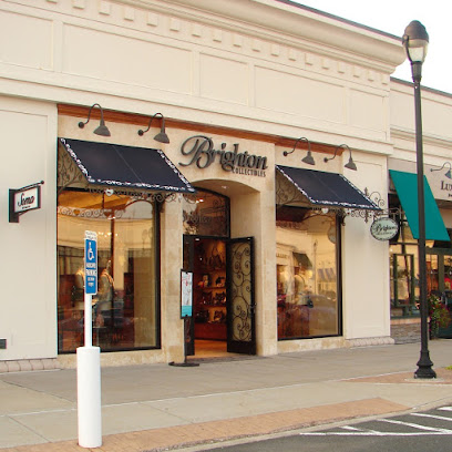
Brighton
28.2 km
Explore Brighton in South Windsor for unique gifts, fashion accessories, and a delightful shopping experience that captures the essence of local charm.
The Shops at Evergreen Walk
28.4 km
Discover a delightful blend of shopping, dining, and entertainment at The Shops at Evergreen Walk in South Windsor, CT.
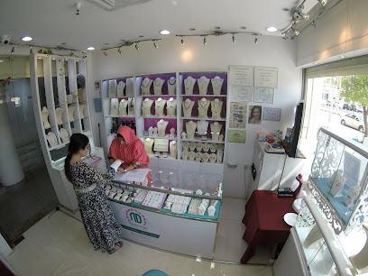
Nafisa Designs
28.5 km
Discover the artistry of handcrafted jewelry at Nafisa Designs, where every piece tells a unique story of elegance and creativity.
Quabbin Shops
28.7 km
Discover local charm and community spirit at Quabbin Shops in Belchertown, MA, a unique stop for travelers exploring New England.
Essential bars & hidden hideouts
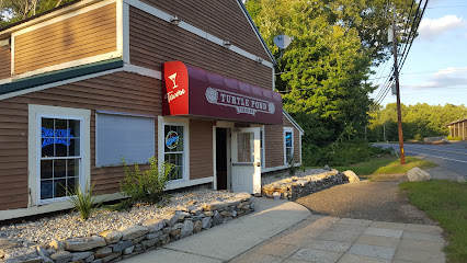
Turtle Pond Tavern
13.6 km
Discover the cozy charm of Turtle Pond Tavern, a perfect bar in Palmer, MA, offering great drinks and a lively atmosphere for tourists and locals alike.
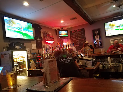
Tailgate Tavern
14.6 km
Discover Tailgate Tavern in Palmer, MA - a cozy bar with friendly service, affordable drinks, and a welcoming atmosphere perfect for travelers and locals alike.
The Hidden Still
18.2 km
Savor the taste of grilled delights and refreshing drinks at The Hidden Still, a top bar and grill in Ellington, Connecticut.
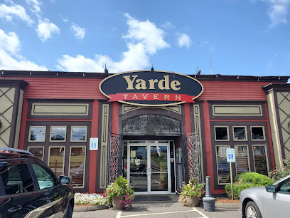
The Yarde Tavern
20.4 km
Experience the heart of American dining at The Yarde Tavern in Enfield, where hearty meals and craft beers await in a welcoming atmosphere.
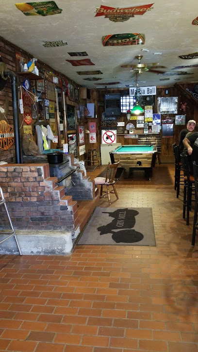
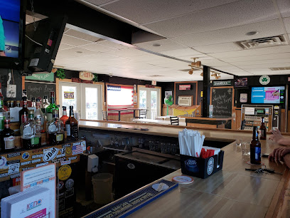
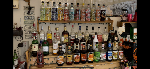
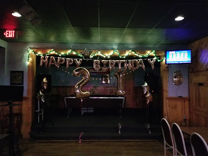
Gin Mill
20.5 km
Experience the vibrant ambiance and extensive drink selection at The Gin Mill in Palmer, MA - the perfect spot for relaxation after your adventures.
Shamrock Cafe
21.8 km
Experience the vibrant atmosphere and affordable drinks at Shamrock Cafe in Suffield, CT, a local favorite for relaxation and socializing.
Countryside Pub
25.2 km
Experience the cozy charm of Countryside Pub in Warren, Massachusetts, where local flavors and welcoming ambiance await every visitor.
Glenda's Pub
25.7 km
Discover local charm at Glenda's Pub, a cozy bar in Warren, MA, offering delicious fare and a welcoming atmosphere.
Shade Bar and Grill
26.8 km
Discover the vibrant flavors of Shade Bar and Grill in Windsor Locks, where comfort food meets a lively atmosphere for an unforgettable dining experience.
Mexicali Cantina Grill
27.1 km
Discover the vibrant flavors of Mexico at Mexicali Cantina Grill, a family-friendly restaurant offering authentic dishes and a lively atmosphere.
McCarthy's Pub
27.5 km
Discover the heart of Belchertown at McCarthy's Pub, a cozy spot for great food, local brews, and a vibrant community atmosphere.
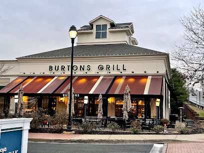
Burtons Grill & Bar
28.3 km
Discover Burtons Grill & Bar in South Windsor, CT - a vibrant spot for American cuisine with gluten-free options and a lively bar atmosphere.
The Pub
32.0 km
Discover The Pub in South Windsor, a lively bar and restaurant offering a delightful mix of local flavors and a vibrant atmosphere for all visitors.
Vibz Uptown
34.9 km
Explore Vibz Uptown in Hartford, CT, where vibrant nightlife, great music, and a lively atmosphere come together for an unforgettable night out.

Shi's pub
35.4 km
Discover Shi's Pub in East Brookfield, a cozy bar perfect for enjoying crafted cocktails and local brews in a charming atmosphere.