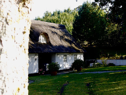
Trehøje, Mols Bjerge National Park
Three Bronze Age hilltops above Mols Bjerge, where sweeping sea views, heather-clad slopes and deep time meet on one of Denmark’s most panoramic ridges.
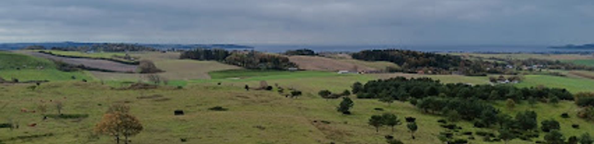
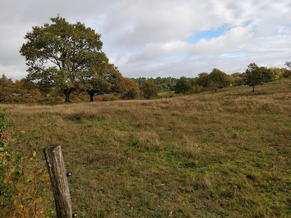
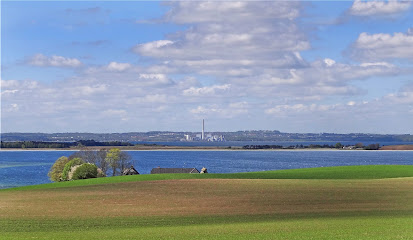
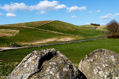
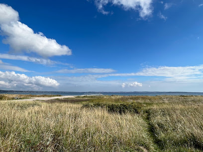
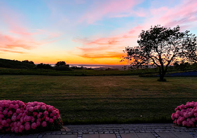
Trehøje crowns the heart of Mols Bjerge National Park with three rounded hilltops rising 127m above sea level, offering some of Denmark’s most expansive coastal panoramas. From the Bronze Age burial mounds on the summits you look out across Djursland’s undulating grasslands, patchwork fields and the inlets of Kalø, Begtrup, Knebel and Ebeltoft. The open heath and grassland surrounding the hills blaze brown‑purple in high summer, while low juniper, wildflowers and grazing animals give this windswept vantage point a distinctly rugged charm.
A brief summary to Trehøje Mols
- Knebel, 8420, DK
- Duration: 1 to 3 hours
- Free
-
 Outdoor
- Mobile reception: 4 out of 5
- Monday 12 am-12 am
- Tuesday 12 am-12 am
- Wednesday 12 am-12 am
- Thursday 12 am-12 am
- Friday 12 am-12 am
- Saturday 12 am-12 am
- Sunday 12 am-12 am
Local tips
- Bring windproof layers even in summer; the exposed hilltops catch strong breezes and can feel much cooler than the lowlands.
- Wear sturdy shoes with good grip, as paths can be uneven, grassy and slippery after rain on the steeper sections.
- Aim for early morning or evening light for the most atmospheric views and a quieter experience on the summits.
- In summer, consider a hat, sunscreen and water; there is almost no natural shade on the open ridges.
- If you walk with dogs, keep them on a lead around grazing animals and burial mounds to protect livestock and fragile turf.
For the on-the-go comforts that matter to you
- Trash Bins
- Information Boards
- Picnic Areas
- Seating Areas
Getting There
-
Car from Aarhus
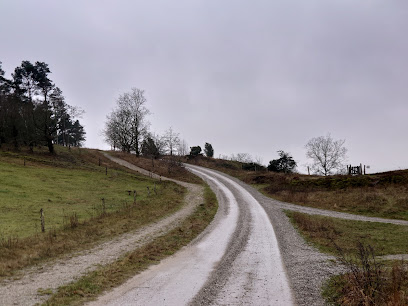
Driving from central Aarhus to Trehøje typically takes 45–60 minutes, following main roads across southern Djursland before smaller country lanes lead into Mols Bjerge. The final approach is on narrow rural roads with occasional livestock crossings and limited lighting after dark. Parking areas near Trehøje are free but unpaved and can be busy on sunny weekends and school holidays, so allow extra time to find a space and be prepared for short, hilly walks from the car to the hilltops.
-
Bus and walk from Ebeltoft
From Ebeltoft, regional buses towards Knebel and nearby villages run several times a day, with a total travel time of roughly 30–45 minutes depending on the route and timetable. A single adult ticket usually falls in the range of 25–45 DKK within the local zones. From the closest stop, expect a countryside walk of 30–45 minutes on minor roads and signed tracks, including gentle to moderate hills. Services are less frequent in evenings and on weekends, so check times in advance and plan to return before the last bus.
-
Cycling in Mols Bjerge
Confident cyclists can reach Trehøje by combining paved rural roads with waymarked routes inside Mols Bjerge National Park. From Knebel or Femmøller Strand, the ride typically takes 30–60 minutes each way, with repeated short climbs and descents. Surfaces vary from smooth asphalt to gravel and firm dirt tracks, so hybrid or touring bikes are more comfortable than narrow‑tyred road bikes. There is no dedicated bike parking at the hilltops; bring a lock and be ready to leave bikes at the edge of paths to protect vulnerable grassland.
Trehøje Mols location weather suitability
-
 Clear Skies
-
 Mild Temperatures
-
 Cold Weather
-
 Hot Weather
-
 Any Weather
-
 Windy Conditions
Discover more about Trehøje Mols
Ancient mounds on the high backbone of Djursland
Trehøje is a trio of rounded hilltops that rise to 127m in the middle of Mols Bjerge National Park, on the Djursland peninsula in East Jutland. The name means “three heights,” and on each summit sits a prominent Bronze Age burial mound, part of a wider landscape of prehistoric monuments that once signalled power and presence across the region. Standing here you feel how deliberately the builders chose this ridge, lifting their dead to one of the highest natural balconies in the area. The surrounding land tells a longer geological story. During the last Ice Age, advancing and retreating glaciers shoved, folded and scraped the terrain into the steep slopes and knuckled ridges you see today. Trehøje sits where ice once pressed hardest, leaving behind a stark contrast between the nutrient‑poor sandy hills and the richer clays that support intensive farming farther out on the plains.Panoramic horizons from coast to coast
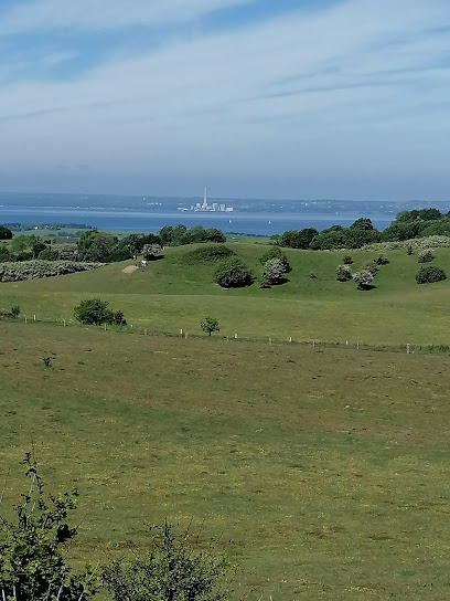
From the tops of the three mounds the view is almost circular, with sea in three directions on a clear day. To one side you can pick out the outline of Aarhus Bay; to another lie the inlets of Kalø, Begtrup and Knebel; further around, the low coastline curves towards Ebeltoft and the Kattegat beyond. The shape of Djursland becomes obvious from up here: a finger of rolling land pushed out into the water, carved by fjords and bays. This is one of those rare Danish viewpoints where you sense height as well as distance. The hills rise steeply from the coast, so the drop feels more dramatic than the numbers suggest. The sky feels huge, the wind often brisk, and the light shifts quickly over fields, forests and water. In very clear weather, the far outline of Sjællands Odde can occasionally be seen on the horizon like a faint, low island.Heath, grassland and the colours of the seasons
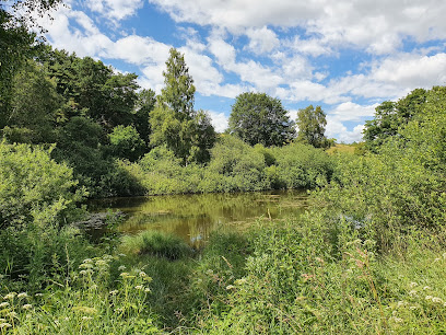
Around the mounds stretches one of East Jutland’s largest continuous areas of grassland and dry heath. The slopes are covered in wavy hair grass, low shrubs and pockets of heather, with scattered juniper bushes twisting in the wind. In high summer, the blooming grasses and heather tinge the hillsides brown‑purple, broken by patches of sandy soil and the bright green of younger growth. Spring brings delicate wildflowers and the first insects, while autumn can feel surprisingly wild, with gusty winds whipping across the open ridges. Grazing livestock are often used to keep the vegetation low and diverse, so you may share the paths with sheep or cattle. Underfoot, the ground alternates between firm sandy stretches and softer, tussocky turf that hints at how tough farming once was in this marginal, stony soil.Traces of people in a shaped landscape
Although the scene feels natural, almost everything here has been shaped by human hands over millennia. The burial mounds are the most obvious sign, raised during the Bronze Age as monumental markers visible from far off. In the folds between the hills you can still spot remnants of old field systems, where medieval farmers ploughed in long, narrow strips that left the land surface ridged like frozen waves. Closer to the horizon, the pattern of fields and hedgerows shows where richer clay soils begin, long cultivated for crops and pasture. The contrast between the intensively farmed lowlands and the rougher, grazer‑kept hillsides is stark when seen from above. Trehøje sits right on this boundary, making it an ideal place to grasp how geology, climate and human use have combined to carve out today’s landscape.Walking the ridges and finding quiet moments
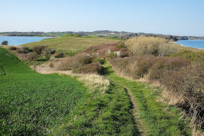
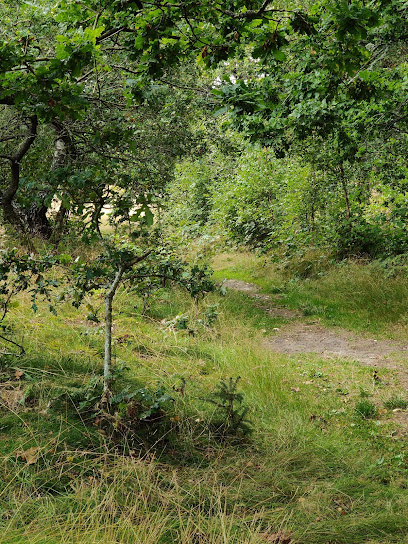
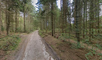
Visitors usually explore Trehøje on foot, following waymarked trails that meander between the three summits and along the ridgelines of Mols Bjerge. The paths undulate gently but can be steep in short sections, rewarding the effort with fresh angles on the coast and constantly shifting foregrounds of grass, heather and stone. Short circuits let you enjoy the main viewpoints, while longer loops tie Trehøje into neighbouring hilltops and valleys within the national park. Despite its fame, the hilltops can still feel remarkably peaceful, especially outside peak holiday weeks and at the edges of the day. Early mornings may bring low mist sitting in the hollows below, while late‑evening light stretches shadows across the mounds. Whether you pause for a quiet picnic on the lee side of a slope or simply sit on a mound to watch clouds and seabirds, Trehøje offers as much space for reflection as for wide‑angle photographs.Iconic landmarks you can’t miss
Olaf Ryes Skanse
4.7 km
A 19th-century Danish military fortification honoring a war hero with commanding views across the Jutland landscape.
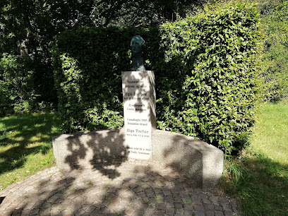
Mindesten for Egil Fischer
5.6 km
A quiet memorial honoring Denmark's visionary architect and pioneer of planned communities.
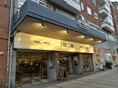
Nordisk Film Cinemas Trøjborg
19.8 km
Experience local Danish cinema culture at Nordisk Film Cinemas Trøjborg—an atmospheric neighborhood movie house blending modern comfort with classic charm in Aarhus.
Trøjborg Beboerhus
19.8 km
Experience the vibrant community spirit of Aarhus at Trøjborg Beboerhus, a hub for cultural events, workshops, and local gatherings.
Folkehuset Trøjborg
20.0 km
Folkehuset Trøjborg blends Danish hygge, vibrant community life, and affordable culture, making it a beloved gathering place in the heart of Aarhus’ Trøjborg district.
Endless Connection
20.3 km
Experience the dynamic interplay of art and water at Aarhus's Endless Connection, an interactive fountain by Jeppe Hein.
Herman Sallings Plads
20.3 km
Aarhus’s vibrant harborfront plaza, bridging the historic city and the modern waterfront, alive with urban energy, culture, and panoramic views.
Latin Quarter
20.3 km
Winding cobblestone streets, historic facades, and a creative spirit fill Aarhus’s Latin Quarter, the city’s oldest district and its cultural heartbeat.
The Occupation Museum
20.4 km
Malmo Live Concert Hall offers world-class music, architecture, and vibrant city energy in the heart of Malmö, steps from the waterfront and cultural highlights.
KØN - Gender Museum Denmark
20.4 km
A groundbreaking museum in Aarhus dedicated to gender, identity, and equality, featuring interactive exhibitions in a historic building near the city’s iconic cathedral.
History Hunts med Hvem.nu
20.4 km
Malmo Live Concert Hall blends iconic Nordic architecture, world-class live music, and a vibrant atmosphere in Malmö, just across the bridge from Copenhagen.
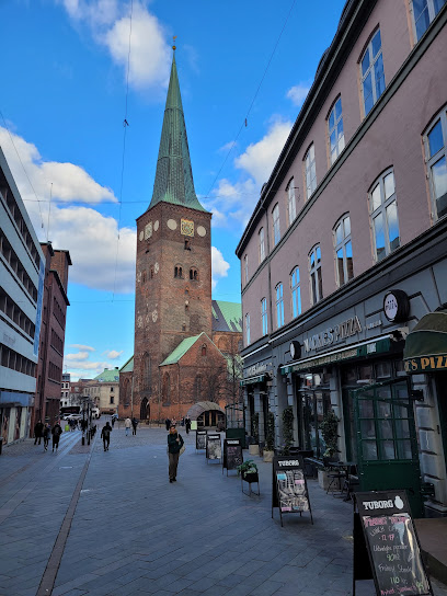
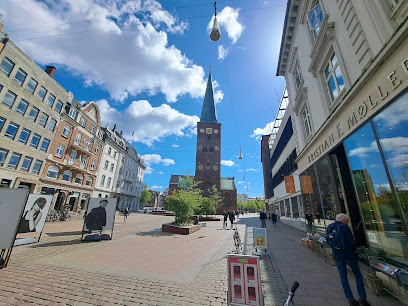
Aarhus Cathedral
20.4 km
Denmark’s largest cathedral, a Gothic masterpiece in Aarhus C, renowned for medieval frescoes, stunning vistas, and a vibrant city square atmosphere.
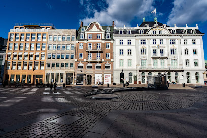
Store Torv
20.5 km
Store Torv is the historic plaza at Aarhus’ city heart, a hub of medieval charm, vibrant markets, and the dramatic silhouette of Denmark’s tallest cathedral.
Viking Museum
20.6 km
Explore Aarhus's Viking roots at the underground Viking Museum, showcasing artifacts and structures from ancient Aros.
University Park, Aarhus
20.6 km
Explore seven centuries of art at SMK – Denmark’s national gallery, marrying old masters, modern pioneers, and cutting-edge exhibitions in stunning parkland surroundings.
Unmissable attractions to see
Sølballegaard
0.8 km
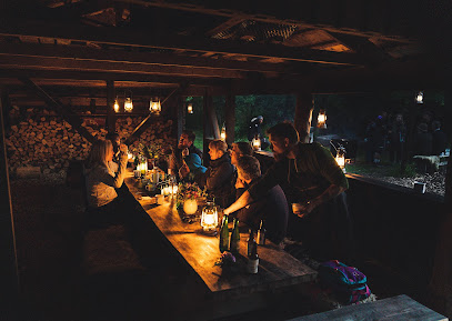
Rural guesthouse and intimate concert farmstead folded into the rolling hills of Mols Bjerge, where Nordic design, quiet nights, and small-scale culture meet.
Trehøje Plantage
0.9 km
A small, sheltering forest near Knebel, Trehøje Plantage offers quiet paths, soft light and a calm woodland pause between Mols Bjerge’s open hills and Bronze Age mounds.
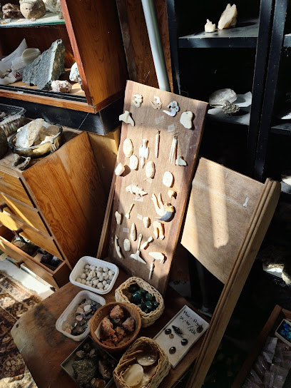
Tinghule
1.2 km
A dramatic Ice Age kettle hole in the hills of Mols Bjerge, Tinghule blends striking natural form with quiet atmosphere and hints of ancient local gatherings.
P-plads Tinghulen
1.3 km
Simple trailhead car park in the heart of Mols Bjerge, giving instant access to Tinghulen’s kettle hole, heather-clad hills and evocative Ice Age scenery.
Mols
1.4 km
A softly contoured Danish peninsula of hills, heather and shallow bays, where Mols Bjerge’s wild ridges meet quiet villages, manor fields and long, sheltered beaches.
Tremosegaard
1.8 km
A peaceful shelter site on the edge of Mols Bjerge National Park, where meadows, a small bog and farm fields create a gentle escape into rural Denmark.
Tipi Tur
1.9 km
Authentic glamping in Mols Bjerge's glacial landscape—yurts, tipis, and forest adventure await.
Mols bjerge
2.0 km
Rolling Ice Age hills, ancient burial mounds and sunlit coasts meet in this varied East Jutland national park, a free, year‑round gateway to wild Danish landscapes.
Fuglsøcentret
2.2 km
Low-key resort and event hub in the heart of Mols Bjerge National Park, blending simple comfort, live music and direct access to heathland trails and sea air.
Poskær Stenhus
2.3 km
Denmark’s largest round barrow, Poskær Stenhus blends towering Neolithic stones, quiet fields and soft Mols Bjerge light into a compact, atmospheric time capsule.
Karpenhøj Naturcenter
2.3 km
Hands-on outdoor hub at the foot of Mols Bjerge, where sea, hills and homely farm buildings frame kayaking, bushcraft, shelters and nature learning for all ages.
Molsløbet
2.6 km
A one-day trail-running festival that turns quiet Knebel into the gateway to Mols Bjerge’s steep hills, forest paths and wide-open national park views each September.

Mols Mountains Holiday Resort
2.6 km
Relaxed holiday base in rural Knebel, placing you within easy reach of Mols Bjerge’s heather‑clad hills, quiet beaches and the atmospheric ruins of Kalø Castle.
Strand Bogens
3.0 km
A modest Djursland shoreline where sea-level calm meets the gentle climb inland toward Fuglsø, offering simple coastal scenery, fresh air and rural quiet.
Mols bjerge besøgscenter
3.6 km
Free, informative gateway to Mols Bjerge National Park, where ice‑age hills, grazing herds, and hands‑on exhibits meet just outside coastal Ebeltoft.
Essential places to dine
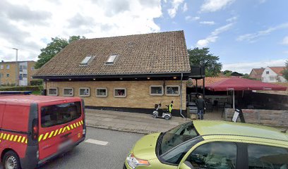
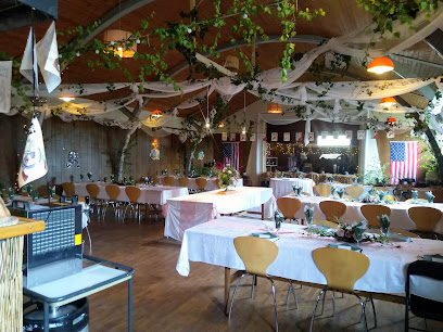
Restaurant Mols Bjerge
2.6 km
Authentic Sicilian cuisine and wood-fired pizzas in the heart of Danish countryside, near Mols Bjerge.
Knebel Bro Pizza Grill
3.6 km
Casual harbour-neighbourhood pizzeria and grill in Knebel, serving hearty, inexpensive takeaway classics to sailors, locals and holidaymakers on the Mols peninsula.
MolsCafeen
4.5 km
Rural cafe and cozy bed and breakfast on Kølbakken, pairing homely Danish cooking with wide countryside views toward the Mols Bjerge landscape near Ebeltoft.
Restaurant Skovmøllen Femmøller
5.0 km
Authentic Danish comfort food beside a peaceful mill pond, where tradition meets genuine hospitality.
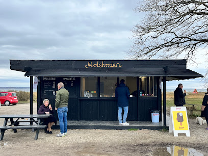
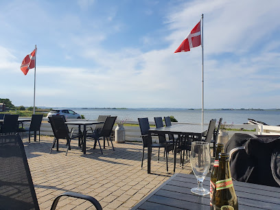
Molsboden
5.3 km
A small red beach stand at Femmøller Strand serving burgers, ice cream and local drinks, perfectly placed between Ebeltoft’s calm bay waters and the hills of Mols.
Molskroens Isbod
5.3 km
Casual seaside ice cream stand near Mols Bjerge and Ebeltoft, serving classic Danish soft ice and scoops to beachgoers, walkers and cyclists on sunny days.
Labacate Café
5.4 km
Brazilian warmth, specialty coffee and artisan sourdough in a cozy coastal café just steps from the beach in Femmøller near Ebeltoft.
Molskroen Strandhotel og Molskroens Brasserie
5.6 km
A coastal Danish strandhotel pairing sea views, Nordic comfort and refined local cuisine on the edge of Mols Bjerge National Park near Ebeltoft.
Restaurant Stockfleth
8.7 km
Harbourfront hygge in a historic fillet factory, serving fresh Danish seafood, hearty classics and steaks with wide Ebeltoft harbour views from terrace and table.
Karens Brasserie
8.9 km
Comforting Danish home cooking and generous brunches by Ebeltoft’s harbour, where casual brasserie dining meets views towards the historic frigate Jylland.
Ristorante Italia
9.0 km
Cosy Italian trattoria in Ebeltoft’s cobbled old town, serving stone-baked pizzas and classic pasta with a summery courtyard that feels surprisingly Mediterranean.
Restaurant Mellem Jyder
9.1 km
Historic 17th-century inn in old-town Ebeltoft serving classic Danish “kromad” with a modern twist amid candlelit stuer and a flower-filled courtyard.
Raadhus Caféen
9.1 km
Cozy café-restaurant by Ebeltoft’s historic town hall, serving coffee, cakes and hearty European–Danish dishes with a relaxed view over the cobbled square.
Restaurant Støvlen
9.2 km
Classic Danish cooking with seasonal flair served in a 300‑year‑old shoemaker’s house and leafy courtyard on Ebeltoft’s cobbled main street.
Jernbanegrillen
9.2 km
No‑frills Danish grill bar in the heart of Ebeltoft, serving generous burgers, flæskesteg sandwiches and classic fast food at fair prices all day.
Markets, malls and hidden boutiques
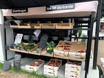
Mols Haven
2.7 km
A cosy countryside fruit and vegetable store in Knebel, offering seasonal Danish produce and a friendly village welcome on the doorstep of Mols Bjerge.
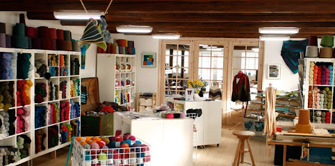
Garn10
2.9 km
A cozy village yarn shop in Knebel where shelves of color, texture, and Nordic fibers invite you to slow down, browse, and bring home a creative Danish souvenir.
Miss A - Gaveideer og indretning til dit hjem
2.9 km
Curated gifts and home décor in the heart of scenic Mols Bjerge
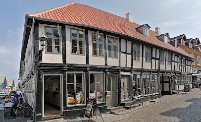
Is På Toppen - Outdoor Cykel- og Vandrecafe
3.1 km
Beloved outdoor café and ice cream bar at the edge of Mols Bjerge National Park, renowned among hikers and cyclists for homemade treats and countryside atmosphere.
Nixn
4.6 km
Curated contemporary fashion in charming Danish countryside retail.
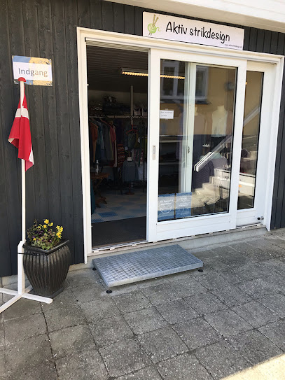
Aktivstrikdesign
4.6 km
Where yarn, community, and Danish hygge come together in a welcoming knitting space.
EnergyBar.nu
4.8 km
Compact organic food shop in rural Vrinners, specializing in Danish-made energy bars and protein products that power explorations around Knebel and Mols Bjerge.
Troldhedesten
5.2 km
Coastal fitness hub where quality equipment meets active Danish living.
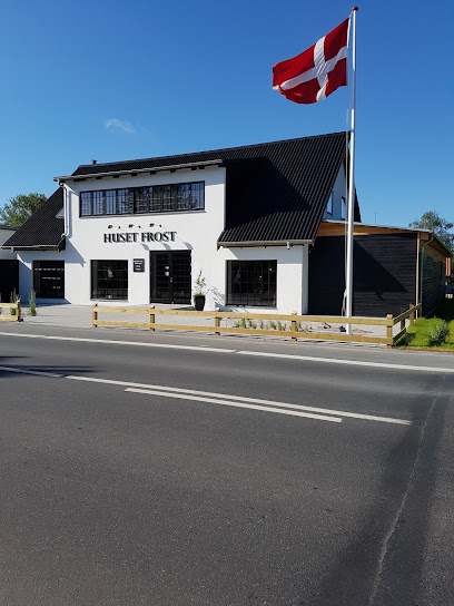
Huset Frost
5.4 km
Experience the fusion of gourmet dining and sustainable design at Huset Frost in Ebeltoft.
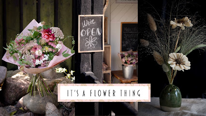
It’s a Flower Thing
5.4 km
Handcrafted ceramics and seasonal flowers grown in harmony with nature's rhythms.
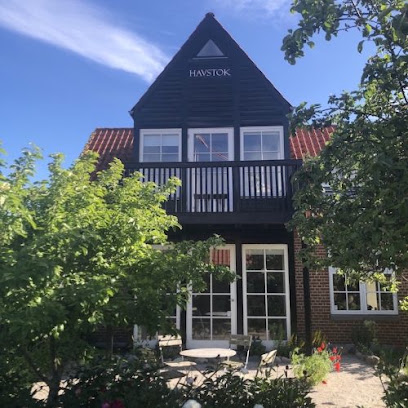
Havstok
5.5 km
Handcrafted rustic furnishings in Denmark's charming maritime heritage town.
Bundgaards Vinimport/ Molshonning v/ Ole Bundgaard
8.6 km
Small-scale wine importer and honey producer in a Mols village home, blending European bottles and local Molshonning in a relaxed, personal cellar-style setting.
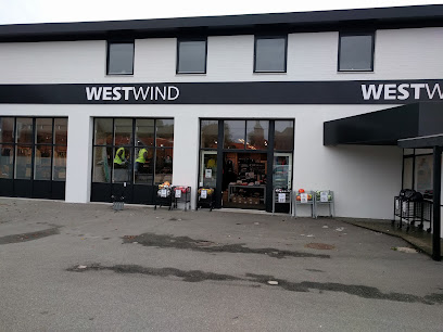
WestWind Ebeltoft
8.9 km
Coastal clothing and outdoor gear on Ebeltoft’s waterfront road, keeping visitors warm, dry and comfortable for walks, beach days and bay-side adventures.
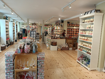
Mols Bolsjer A/S
9.2 km
Cosy old-town sweet shop in Ebeltoft, showcasing handmade Danish boiled candies and licorice from local production, perfect for treats and edible souvenirs.
Nordic Bar Group
9.9 km
Denmark's trusted supplier of professional bar equipment and sustainable glassware to European hospitality.

Essential bars & hidden hideouts
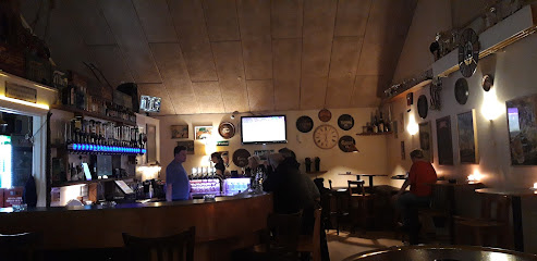
Mejeriets Bar
4.5 km
Cozy neighbourhood bar and eatery by the harbour in Knebel, offering simple food, evening drinks and a relaxed local atmosphere after days out on Djursland.
Umage Ølbar
8.7 km
Craft beer bar in Ebeltoft with 14 taps, 50+ bottled beers, and comfort food.
Stockfleths Østers & Bobbelbar
8.7 km
Former oyster and bubbles bar on Ebeltoft’s old fishing harbour, where luxury shellfish, sparkling wine and maritime history came together in a relaxed coastal setting.
Ebeltoft Strandbar
8.8 km
Laid-back beachfront bar on Ebeltoft Bay, serving simple seaside food, cold drinks and big-sky sunsets just steps from the sand on Strandvejen.
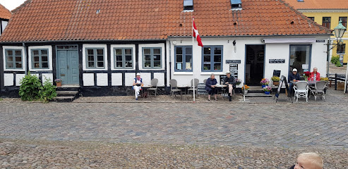
Toldboden
9.0 km
Relaxed harbourside bar in Ebeltoft, blending maritime character, waterfront views and late-opening drinks in a cosy, casual setting by the marina.
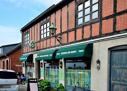
Sir Henry Bodega
9.0 km
Unpretentious Danish bar in Ebeltoft’s cobbled old town, pouring local beers and classic drinks in a cozy, lived-in setting from morning till late.
Klub K
9.0 km
Small-town harbor bar turned late-night disco, Klub K keeps Ebeltoft dancing on weekend nights with simple drinks, big beats and an easygoing local vibe.
Den Skæve Bar
9.2 km
A crooked timber-framed pub in Ebeltoft's old town, where live music and garden charm meet Danish hospitality.
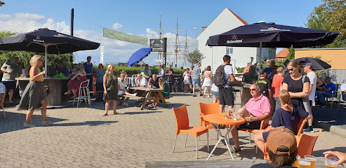
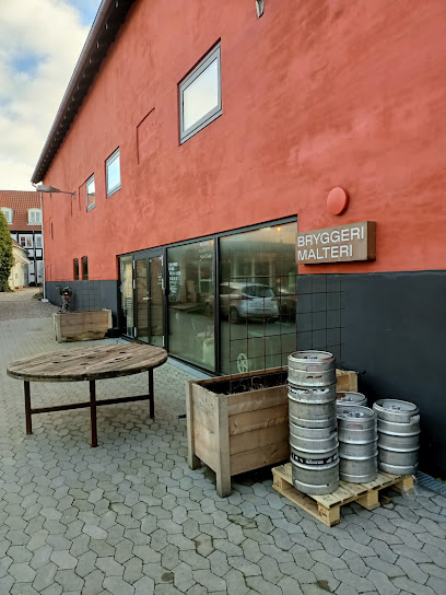
Brewpub på Maltfabrikken
9.3 km
Fresh local beer served beneath the beams of Ebeltoft’s restored red malt factory, where industrial heritage and modern Danish craft brewing meet.
Bar Pia
9.3 km
Unpretentious neighbourhood bar in central Ebeltoft, offering simple drinks, local atmosphere, and a relaxed glimpse into everyday Danish pub life.
Bodega Kringlen v/Annelise Dalgaard
11.1 km
Unpretentious local bodega on Rønde’s main street, serving cold beer, simple drinks and small-town Danish bar atmosphere late into the evening.
Mørke Roadhouse
17.7 km
Unpretentious beer hall on Ebeltoftvej where locals and travelers share cold pints, warm conversation, and long, easygoing evenings in small-town Mørke.
Byportene Bodega
17.9 km
Cozy neighborhood bodega in Hornslet with cold beers, warm lighting and easygoing local charm for unpretentious evenings out.
K
19.7 km
Discover K, the cozy cafe and cocktail bar in Aarhus, where innovative drinks and a warm atmosphere await every visitor.
Peder Wessel
19.8 km
Experience the vibrant nightlife at Peder Wessel, Aarhus' charming bar with affordable drinks and a welcoming atmosphere.
Nightclubs & after hour spots
DCD STUDIO
20.3 km
Experience the vibrant rock music scene at DCD STUDIO in Aarhus, where electrifying performances and a lively atmosphere await every visitor.
Lounge 8000
20.4 km
Discover the best of Aarhus nightlife at Lounge 8000, where vibrant performances and a stylish lounge atmosphere await.

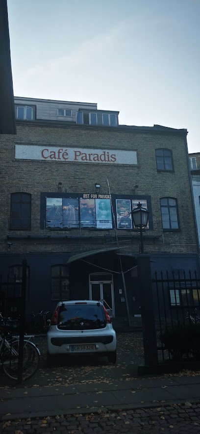
Cafe Paradis - Den Sidste
20.4 km
Unleash your nightlife experience at Cafe Paradis - Den Sidste, Aarhus' top destination for dancing, cocktails, and unforgettable memories.
GBAR
20.5 km
Experience the vibrant nightlife at GBAR in Aarhus, a welcoming dance club where everyone can enjoy an unforgettable night out.
ZenZa Cocktailbar
20.5 km
Discover Aarhus' vibrant nightlife at ZenZa Cocktailbar, where expertly crafted cocktails and lively atmosphere await you.
Bernhardt Natklub
20.6 km
Discover Aarhus' premier nightlife destination at Bernhardt Natklub, where cocktails and beats create unforgettable memories.
Rustik Bar & Natklub - Aarhus
20.6 km
Dive into the pulsating nightlife of Aarhus at Rustik Bar & Natklub, where vibrant music and an electric atmosphere await.
For the vibe & atmosphere seeker
- Tranquil
- Scenic
- Unique
- Adventurous
For the design and aesthetic lover
- Rustic Designs
For the architecture buff
- Viewpoints
- Parks & Gardens
- Heritage Neighborhoods
- Landmarks
For the view chaser and sunset hunter
- Iconic Views
- Panoramas
- Sunrise Spots
- Sunset Spots
For the social media creator & influencer
- Instagrammable
- Photo Spots
- Reel-Friendly
- Architectural Shots
For the eco-conscious traveler
- Protected Area
- National Park
- Leave-No-Trace Critical
- Wildlife Habitat
- Public-Transport Accessible
- Low Impact
For the kind of experience you’re after
- Nature Escape
- Day Trip
- Photowalk
- Adventure Photo Shoot
- Cultural Heritage
- Mindfulness
For how adventurous you want the journey to be
- Requires Hike
- Easy Access
Location Audience
- Family Friendly
- Senior Friendly
- Child Friendly
- Teen Friendly
- Solo Friendly
- Couple Friendly
- Solo Female Friendly
- Vegetarian Friendly
- Vegan Friendly


