From Eve
Know before you go
Hi, I'm Eve. Here are a few practical things to know before exploring Vesborg Fyr.
Local know-how to help you travel smarter and make the most of every moment.
Medieval fortress ruins crowned by a 19th-century lighthouse with sweeping views across the Samsø Belt.
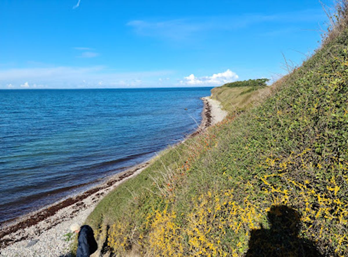
A striking white lighthouse built in 1858 on the southwestern tip of Samsø island, Vesborg Fyr stands on the ruins of a medieval fortress and offers panoramic views across the Samsø Belt toward Funen, Zealand, and Jutland. The site includes a small powder magazine housing an exhibition about Samsø's five medieval strongholds, making it both a historical landmark and a scenic destination for visitors seeking to explore Denmark's maritime heritage.
Opening times, essentials, and a few local tips gathered into one calmer, easier-to-scan planning section.
Hi, I'm Eve. Here are a few practical things to know before exploring Vesborg Fyr.
Local know-how to help you travel smarter and make the most of every moment.
Ferry and Bicycle
Take the car ferry from Hou on the Jutland mainland to Samsø town (approximately 1 hour crossing). Upon arrival, rent a bicycle and cycle approximately 15 kilometers south and southwest to Vesborg Fyr on the island's southern coast. The route follows quiet rural roads and takes 45–60 minutes depending on fitness level and terrain. Ferry tickets cost approximately 50–70 Danish krone per person; bicycle rental is typically 80–150 krone per day.
Ferry and Car
Drive to Hou harbor on the Jutland coast and take the car ferry to Samsø (approximately 1 hour). Once on the island, drive approximately 15 kilometers to Vesborg Fyr on the southwestern coast. The drive takes 20–25 minutes on well-maintained rural roads. Ferry costs range from 300–500 krone for a car plus passengers; parking at Vesborg Fyr is available on-site.
Ferry and Guided Tour
Arrange a guided tour through local tourism operators that includes ferry transport from the Jutland mainland to Samsø and transportation to Vesborg Fyr. Tours typically depart from Hou or other mainland ports and include commentary on the site's history and medieval fortress. Tour costs vary but generally range from 400–800 krone per person including ferry and transport.
Ferry from Alternative Port
Take the car ferry from Søby on Als island in southern Denmark to Samsø (approximately 45 minutes crossing). This route is an alternative for visitors in southern Jutland or northern Germany. Once on Samsø, drive or cycle approximately 12 kilometers to Vesborg Fyr. Ferry tickets cost approximately 50–70 krone per person; car transport is additional.
Use Vesborg Fyr as your starting point for nearby food, family ideas, nightlife, and more local discoveries.
A quick look at seasonal patterns and peak visiting hours.

Explore expert travel guides, compare and book tours, experiences, hotels, and more—all from the palm of your hand. Download now for seamless trip planning wherever your wanderlust takes you.

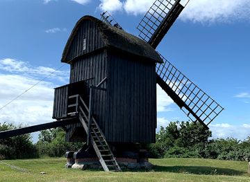
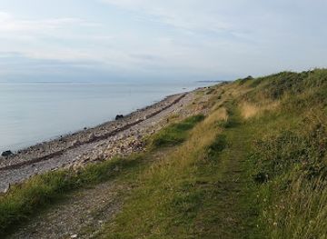
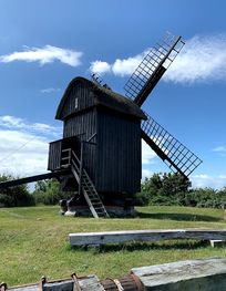
Samsø: Explore Denmark's eco-friendly island, rich in natural beauty, culinary delights, and cultural heritage.
Tell me more about Samso