
Cabrits National Park: Where History and Nature Converge
Explore Dominica's Cabrits National Park: Where volcanic landscapes meet colonial history and Caribbean beauty.
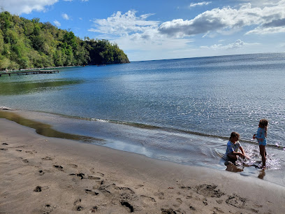
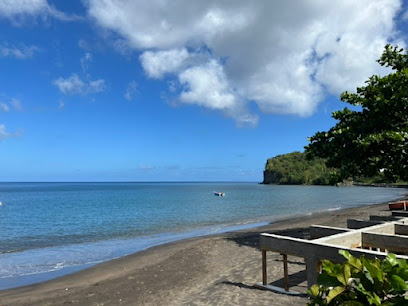
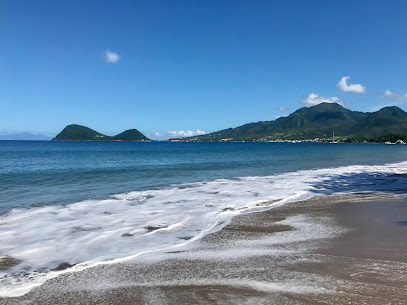
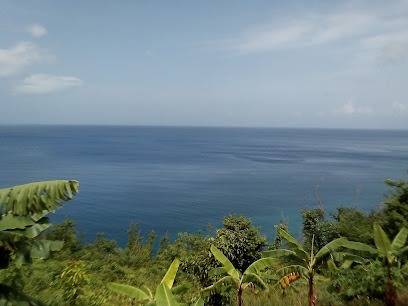
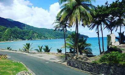
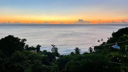
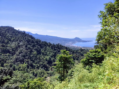
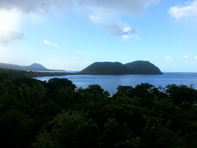
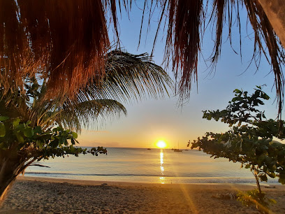
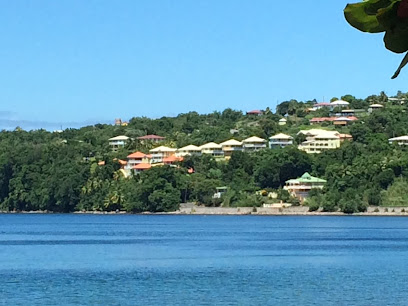
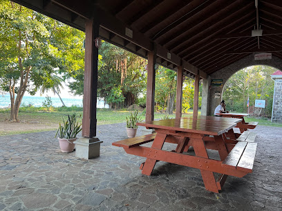
Cabrits National Park, located on a peninsula north of Portsmouth, Dominica, is a protected area encompassing tropical forests, coral reefs, and wetlands. The park is known for its natural beauty and historical significance, particularly Fort Shirley, an 18th-century British garrison.
A brief summary to Cabrits National Park
- HGPG+G8F, Portsmouth, DM
Local tips
- Wear comfortable shoes for hiking the trails, as the terrain can be uneven.
- Bring insect repellent to protect against mosquitoes and other biting insects.
- Carry water and snacks, especially if you plan to hike the longer trails.
- Consider hiring a local guide for a more in-depth exploration of the park's history and ecology.
Getting There
-
Public Transport
From Roseau, take a public bus towards Portsmouth. The bus ride takes approximately 30-45 minutes. Once in Portsmouth, Cabrits National Park is a short taxi ride or a 30-minute walk north of the town. Bus fare from Roseau to Portsmouth is approximately EC$10. A taxi from Portsmouth to the park entrance should cost around EC$20-30.
-
Walking
From Portsmouth, Cabrits National Park is located north of the town. The walk to the park entrance is approximately 30 minutes, following the main road north. Taxis are readily available in Portsmouth if you prefer not to walk. The walk is mostly flat, with a slight incline as you approach the park entrance.
Discover more about Cabrits National Park
Iconic landmarks you can’t miss
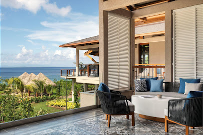
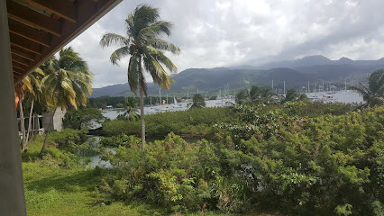
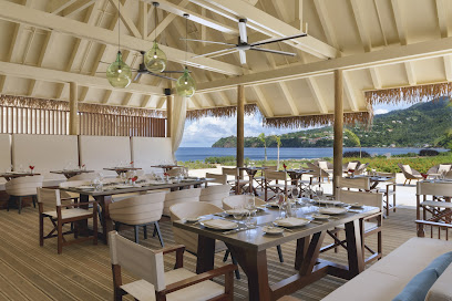
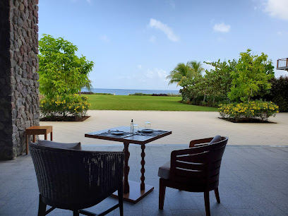
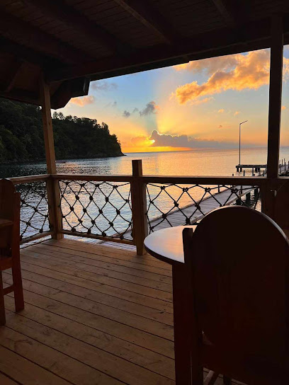
InterContinental Dominica Cabrits Resort & Spa, an IHG Hotel
1.1 km
Discover luxury amidst nature at InterContinental Dominica Cabrits Resort & Spa, your gateway to an eco-paradise within Cabrits National Park.
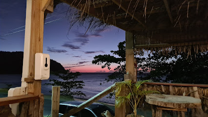
Purple Turtle Beach Club
1.3 km
Experience Caribbean flavors and beachside bliss at Purple Turtle Beach Club, a vibrant Portsmouth gem with fresh seafood, lively events, and stunning ocean views.
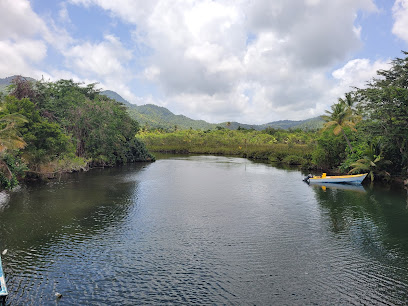
Indian River Tours
2.6 km
Discover Dominica's Indian River: A serene boat ride through lush mangroves, teeming with wildlife and steeped in history. A true nature escape.
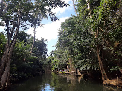
Indian River
2.8 km
Discover Dominica's Indian River: A serene boat ride through lush mangroves, teeming with wildlife and steeped in history.
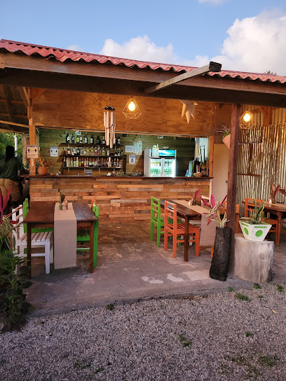
Keepin'It Real
2.8 km
Experience beachfront dining, water sports, and authentic Caribbean flavors at Keepin' It Real on Dominica's tranquil Toucari Beach.
Cabrits Dive Center
3.5 km
Explore Dominica's pristine underwater world with Cabrits Dive Center, offering personalized diving experiences in a marine paradise.
Kenan Shawarma King
3.8 km
Savor the Middle Eastern flavors at Kenan Shawarma King in Portsmouth, Dominica! Enjoy delicious shawarmas, burgers, and more at affordable prices.
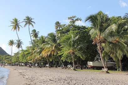
Coconut Beach (public beach)
3.9 km
Discover Portsmouth's Coconut Beach: a serene escape with tranquil waters, light brown sands, and stunning views, perfect for relaxation and adventure.
Secret Bay
4.5 km
Discover Dominica's Secret Bay: An eco-luxury resort offering sustainable villas, personalized service, and breathtaking nature experiences.

Plantation Grove Restaurant Club and Bar
7.6 km
Experience exquisite dining with breathtaking Caribbean Sea views at Plantation Grove Restaurant Club and Bar in Dublanc, Dominica. A fusion of international and local flavors.
Unmissable attractions to see
Douglas Bay Battery
0.3 km
Discover the historic Douglas Bay Battery in Portsmouth, a fascinating landmark offering breathtaking views and a glimpse into the region's military past.
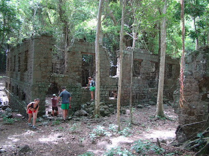
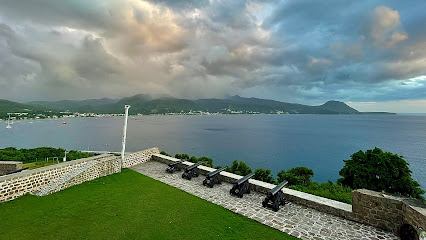
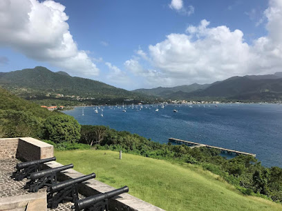
Fort Shirley
0.3 km
Explore the rich history and breathtaking views of Fort Shirley, a stunning historical attraction in Portsmouth, Dominica.
Fort Shirley Cabrits National Park
1.3 km
Explore the rich history and stunning landscapes of Fort Shirley within Cabrits National Park, a must-visit destination for every traveler in Dominica.
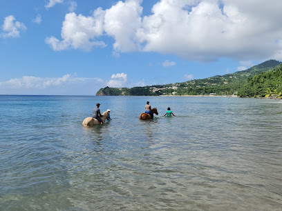
Rainforest Riding
1.3 km
Experience the lush landscapes of Portsmouth on horseback, blending adventure and nature in an unforgettable riding journey through the rainforest.
Douglas Bay Beach Park
1.4 km
Experience the tranquil beauty of Douglas Bay Beach Park, a perfect Caribbean getaway for relaxation and family fun in Portsmouth.
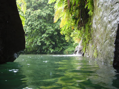
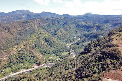
Fau Valley Canyon
2.6 km
Explore the breathtaking Fau Valley Canyon in Savanne Paille, a perfect blend of natural beauty and adventure amidst lush landscapes.
Cobra Tours & Yacht Services
2.6 km
Explore the stunning Indian River with Cobra Tours & Yacht Services - your adventure begins in the heart of Dominica's natural beauty.
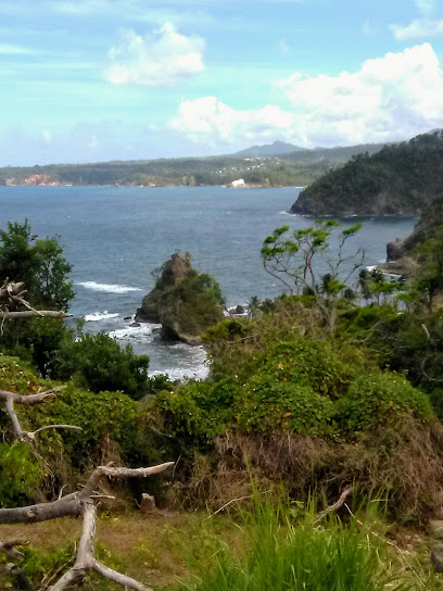
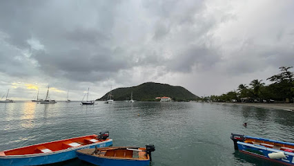
Toucari Bay
2.8 km
Discover the serene beauty of Toucari Bay in Dominica, a paradise for snorkeling, relaxation, and breathtaking coastal views.
Scenic viewpoint
4.3 km
Discover the tranquility and stunning vistas at the Scenic Viewpoint in Savanne Paille, a must-see spot for nature lovers and photographers alike.
Cold Soufrière
5.2 km
Experience the breathtaking geothermal beauty of Cold Soufrière in Dominica, a must-visit attraction for nature lovers and adventure seekers.
Paradise Valley Garden Nursery
5.8 km
Discover the enchanting Paradise Valley Garden Nursery in Borne, where diverse plants and tranquil beauty await your visit.
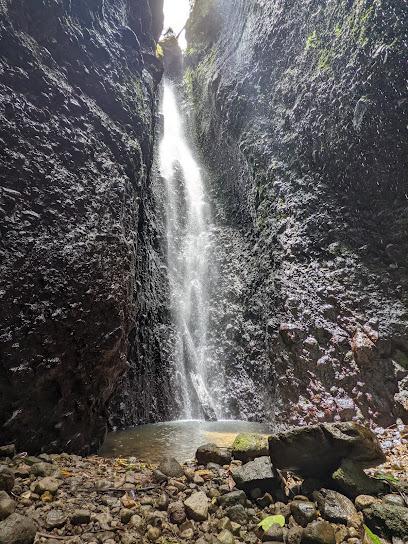
Bwa Nef Falls
6.7 km
Explore the breathtaking Bwa Nef Falls in Penville, Dominica, where nature's beauty meets serene tranquility in a stunning tropical paradise.
J&N bush bar and craft shop
7.2 km
Experience authentic Dominican flavors at J&N Bush Bar and Craft Shop, a charming spot for local cuisine and unique artisanal crafts.
X Agro Tourism
7.4 km
Experience the rich agricultural heritage of the Dominican Republic at X Agro Tourism in Dublanc, Portsmouth, a vibrant and immersive tourist attraction.
St. Andrew Catholic Church
7.8 km
Explore St. Andrew Catholic Church in Vieille Case, a beautiful spiritual retreat surrounded by lush landscapes and vibrant community life.
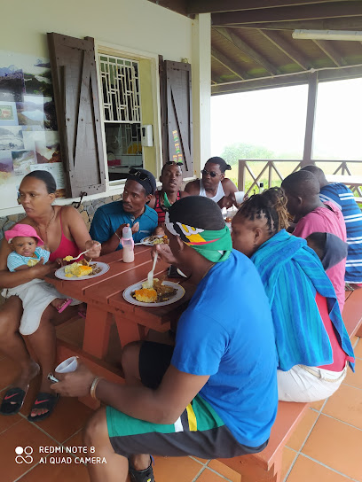
Essential places to dine
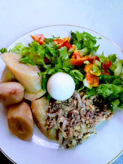
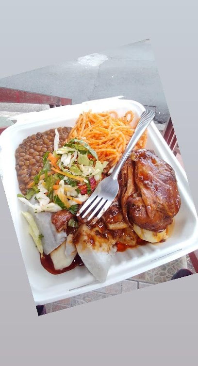
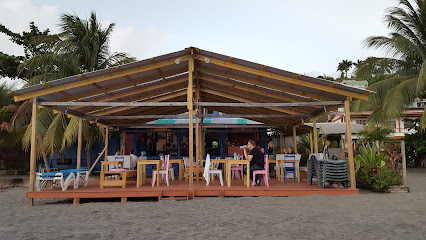
Kwéyòl Beach Café
1.0 km
Experience authentic Caribbean flavors at Kwéyòl Beach Café with stunning ocean views in Dominica.
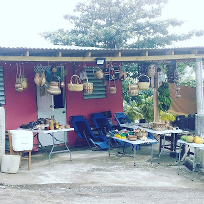
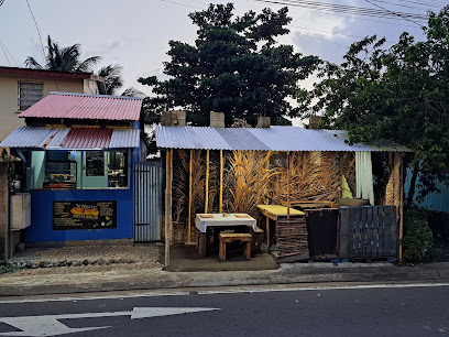
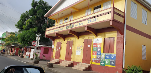
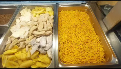
Cabrits Market
1.2 km
Discover the flavors of Dominica at Cabrits Market - where local ingredients meet exquisite culinary artistry in a breathtaking setting.
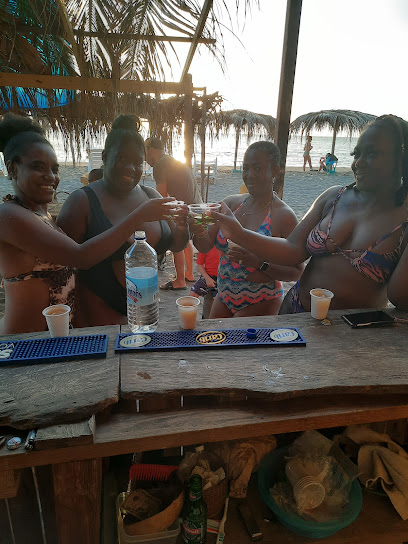
Sea Bird Bar & Grill
1.4 km
Experience the vibrant flavors and stunning views at Sea Bird Bar & Grill in Portsmouth - where every meal is a celebration of Caribbean culture.
Bell Hall Beach Spot
1.4 km
Experience fun-filled family days at Bell Hall Beach Spot in Portsmouth—where sun-soaked beaches meet vibrant Caribbean culture.
Madiba Restaurant
1.5 km
Experience authentic Caribbean cuisine at Madiba Restaurant in Portsmouth - a must-visit culinary gem offering vibrant flavors and warm hospitality.
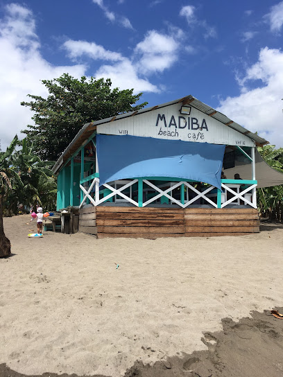
madiba beach café
1.5 km
Discover exquisite Caribbean cuisine at Madiba Beach Café in Portsmouth, where every meal is a celebration of local flavors and breathtaking ocean views.

Roots Rock Bar & Restaurant
1.5 km
Experience authentic Dominican cuisine with stunning beach views at Roots Rock Bar & Restaurant - a culinary gem in Savanne Paille.
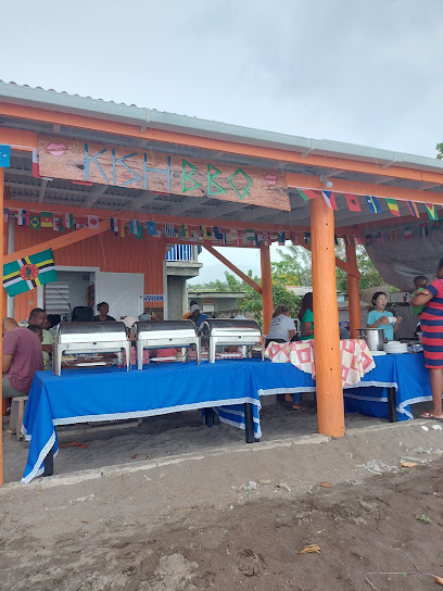
Kish Beach BBQ
1.6 km
Discover Kish Beach BBQ: A beachfront dining experience in Portsmouth with delicious grilled specialties and stunning sea views.
Monty's
2.2 km
Experience unparalleled seafood at Monty's Fish Grill in Portsmouth – where freshness meets flavor in every bite.
Poonkies
2.3 km
Discover Poonkies: A culinary haven in Savanne Paille offering exquisite local and international flavors amidst stunning natural beauty.
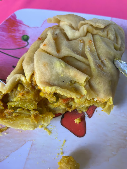
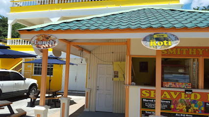
Ray's Roti
2.4 km
Discover the authentic taste of Caribbean cuisine at Ray's Roti in Portsmouth – where flavor meets tradition!
767 Exotic Rasta Bread
2.4 km
Discover authentic Caribbean flavors at 767 Exotic Rasta Bread – a delightful bakery and vegetarian deli in Portsmouth.
Cherry Reggage Bar&Grill
2.5 km
Experience Caribbean flavors at Cherry Reggage Bar & Grill in Portsmouth - where delicious cuisine meets breathtaking ocean views.
The Almond Deck
2.8 km
Experience exquisite Caribbean flavors at The Almond Deck in Toucari Village – where every meal is accompanied by breathtaking ocean views.
Iguana Café
2.8 km
Experience authentic Dominican flavors at Iguana Café in Portsmouth – where fresh seafood meets vibrant Caribbean culture.
Markets, malls and hidden boutiques
J C Ocean Adventures
0.5 km
Explore the vibrant underwater world of Dominica with J C Ocean Adventures, your premier dive shop in Cabrits National Park.
Island Dive Operations
1.3 km
Discover an underwater paradise at Island Dive Operations in Portsmouth, where thrilling dives meet stunning marine biodiversity.
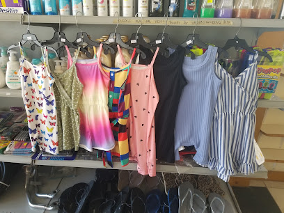
VinJ's Enterprise
1.5 km
Discover joy at VinJ's Enterprise, Portsmouth's delightful children's store featuring toys, books, and clothing for your little ones.
Yellow House Mini Mart
1.9 km
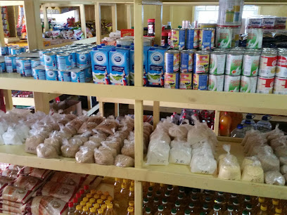
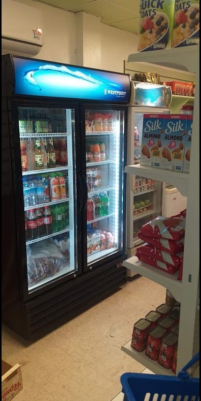
Explore local flavors and fresh produce at Yellow House Mini Mart in Portsmouth, a must-visit grocery store for an authentic Dominican experience.
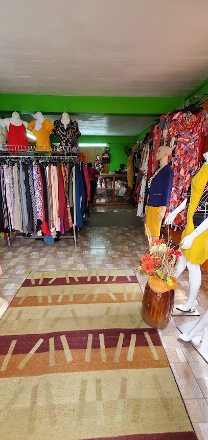
Crea's Closet
2.0 km
Discover the vibrant Caribbean fashion at Crea's Closet in Portsmouth, offering unique clothing and accessories for every style.
FE MIMI MART
2.0 km
Explore the local flavors and essentials at FE MIMI MART, your go-to supermarket in Portsmouth, Dominica.
Meekeedee's
2.1 km
Explore the unique fashion offerings at Meekeedee's in Portsmouth, where local style meets international trends in a welcoming atmosphere.
Northern Foods & Supplies
2.1 km
Discover the flavors of Dominica at Northern Foods & Supplies, your go-to grocery store for fresh produce and local delicacies in Portsmouth.
Joan's Creative Hands
2.1 km
Experience the joy of sewing and creativity at Joan's Creative Hands, a charming sewing shop in Cotton Hill Estate Buck, Portsmouth.
Candy Girl Store
2.2 km
Explore the vibrant and playful clothing styles at Candy Girl Store in Portsmouth, where fashion meets the spirit of the Caribbean.
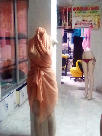
Fab Fashion 4 Less
2.2 km
Explore Fab Fashion 4 Less in Portsmouth for unbeatable beauty products and unique gifts at wallet-friendly prices.
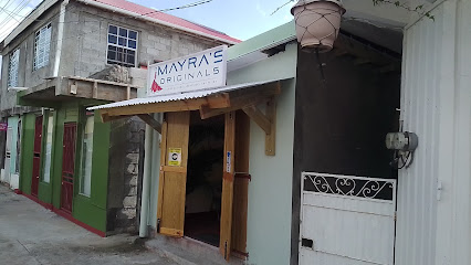
Mayra's Originals
2.2 km
Discover custom fashion and exquisite tailoring at Mayra's Originals in Portsmouth, where every piece tells a unique story.
James store home and furniture baystreet
2.2 km
Explore James Store on Baystreet for unique home goods and furniture that capture the essence of Caribbean craftsmanship.
Dblush Copy Center
2.2 km
Discover Dblush Copy Center in Portsmouth - the ideal print shop for tourists and locals, offering quality prints and exceptional service.
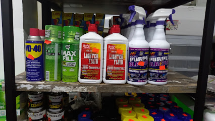
Compulse Solutions
2.2 km
Explore Compulse Solutions in Portsmouth for top-quality tools and hardware, exceptional service, and everything you need for your DIY projects.
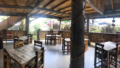
Essential bars & hidden hideouts
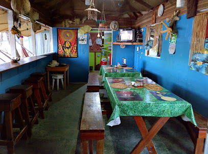
PRINCE RUPERT'S TAVERN
0.5 km
Experience the best of Portsmouth at Prince Rupert's Tavern, where delicious local cuisine meets a cozy and inviting atmosphere.
Rumfire Bar
1.2 km
Discover the vibrant Rumfire Bar in Cabrits Douglas Bay, offering stunning ocean views and expertly crafted cocktails in a lively atmosphere.
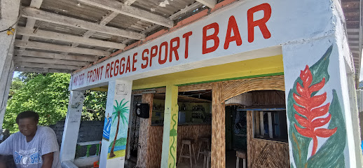
WATER FRONT REGGAE SPORT
1.5 km
Experience the vibrant culture of Portsmouth at Water Front Reggae Sport, where drinks and reggae music create unforgettable moments by the waterfront.
Matox Bar & Grill
1.6 km
Experience the local flavors and vibrant atmosphere at Matox Bar & Grill in Lagoon Village, Portsmouth - a culinary gem for every traveler.
Wop Wop Snacks and Bar
1.6 km
Discover the lively atmosphere of Wop Wop Snacks and Bar in Portsmouth, where local flavors meet vibrant nightlife and unforgettable experiences.
Kish Tree View Bar & Grill Plus Yacht Services
1.6 km
Experience exquisite dining and breathtaking lagoon views at Kish Tree View Bar & Grill in Portsmouth, where culinary delights meet yacht adventures.
Smithy's Hawaiian Shaved Ice & Cakes
1.6 km
Experience the refreshing delight of Hawaiian shaved ice and custom cakes at Smithy's in Portsmouth, a must-visit treat for every traveler.
Sounky's bar&grill
1.7 km
Discover local flavors and vibrant atmosphere at Sounky's Bar & Grill in Portsmouth, a must-visit culinary hotspot for tourists.
Soursop Bar & Grill
2.0 km
Experience the vibrant flavors of Caribbean cuisine at Soursop Bar & Grill in Portsmouth, a culinary gem for every traveler.
Paulina's Restaurant & Bar
2.2 km
Discover the vibrant flavors of breakfast at Paulina's Restaurant & Bar in Portsmouth, where every meal is a delightful start to your day.
3C's SPOTLIGHT Restaurant & Bar
2.4 km
Discover the flavors of the Caribbean at 3C's SPOTLIGHT Restaurant & Bar, a culinary gem in Portsmouth offering a delightful dining experience.
Sagittarius 2 Reggae Bar and Grill
2.4 km
Discover the vibrant flavors and rhythms of the Caribbean at Sagittarius 2 Reggae Bar and Grill in Portsmouth, Dominica.
Janus Bar
2.5 km
Experience the finest grill cuisine at Janus Bar in Portsmouth, where every dish tells a story of flavor and tradition.
Jason Hamilton Bar and Grill
2.5 km
Experience the vibrant atmosphere and delicious cuisine at Jason Hamilton Bar and Grill, Portsmouth's culinary hotspot for tourists and locals alike.
What Is Man Bar
2.5 km
Experience the authentic flavors and vibrant atmosphere of What Is Man Bar in Portsmouth, a must-visit for food lovers and cultural enthusiasts.
Nightclubs & after hour spots
Azille Valley Country Club
5.5 km
Experience the enchanting Azille Valley Country Club, a serene bar retreat in Portsmouth, offering delightful beverages and stunning views.
Snakey's sports bar & Grethel's cuisine
8.1 km
Experience the vibrant nightlife and authentic Caribbean flavors at Snakey's Sports Bar & Grethel's Cuisine in Dublanc, Dominica.
Kb's Sunflower Bar & Grill
8.2 km
Kb's Sunflower Bar & Grill: A Culinary Gem in Paix Bouche Offering Local Flavors and Warm Hospitality.
Trevy's Place
8.5 km
Experience the best of local flavors at Trevy's Place, Thibaud's premier grill restaurant, where every meal is a celebration of culinary excellence.

NSE Night Club
9.6 km
Experience the pulsating nightlife of NSE Night Club in Anse De Mai, where unforgettable dance parties and vibrant atmospheres await.
Voxy's Bar and Grill
10.7 km
Experience the vibrant flavors of the Caribbean at Voxy's Bar and Grill in Bense, where every meal is a celebration of taste.
The Hot Spot
14.3 km
Experience the vibrant nightlife of Calibishie at The Hot Spot, where local flavors and lively ambiance blend seamlessly for an unforgettable night out.
Impact Night Club
15.3 km
Discover the ultimate nightlife experience at Impact Night Club, where vibrant music and an electrifying atmosphere await in Woodford Hill.
767 HIDEAWAY
17.5 km
Experience the vibrant nightlife and delectable dining at 767 Hideaway in Baroui, where fun meets flavor in a lively atmosphere.
Bar La Plage
19.3 km
Discover the laid-back charm of Bar La Plage, a tropical bar on Mero Beach perfect for cocktails, snacks, and stunning sunset views.
InDee's Beach Bar and Restaurant
19.3 km
Experience the flavors of the Caribbean at InDee's Beach Bar and Restaurant, a beachfront dining paradise in Dominica.
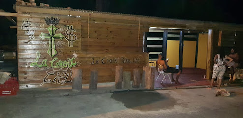
La croix bar and grill
20.8 km
Experience the vibrant flavors and friendly ambiance at La Croix Bar and Grill in St. Joseph, where every meal is a celebration of local cuisine.
Sammy's bar
21.0 km
Experience the charm of Sammy's Bar in Dominica, where local culture, drinks, and music come together for an unforgettable evening.
Layou River
21.6 km
Experience the tranquility and natural beauty of Layou River, a stunning oasis in Dominica perfect for adventure and relaxation.
Tu
22.0 km
Discover the heartbeat of Mero's nightlife at Tu Disco Club, where every night promises unforgettable music and vibrant energy.


