From Eve
Know before you go
Hi, I'm Eve. Here are a few practical things to know before exploring Le Clapas du Diable.
Local know-how to help you travel smarter and make the most of every moment.

Explore Le Clapas du Diable, a captivating prehistoric site in Aveyron, offering stunning views and a journey into the region's ancient past.
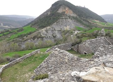
Le Clapas du Diable, or the Devil's Pile, is a fascinating Neolithic oppidum (a large fortified Iron Age settlement) located near Verrières in the Aveyron department of France. This intriguing site offers a glimpse into the region's prehistoric past, with its impressive stone structure and commanding views of the surrounding landscape.
Opening times, essentials, and a few local tips gathered into one calmer, easier-to-scan planning section.
Hi, I'm Eve. Here are a few practical things to know before exploring Le Clapas du Diable.
Local know-how to help you travel smarter and make the most of every moment.
Driving
From the D809, which connects Millau to Sévérac d'Aveyron, take the D911 towards Verrières. Follow the road for approximately 1.5 km. Once in Verrières, follow local signs to Le Clapas du Diable. Parking is available in the village, from which the site is accessible by foot.
Walking
From the village center of Verrières, follow the marked hiking trails leading towards Le Clapas du Diable. The walk is moderately challenging and takes approximately 1-2 hours, offering scenic views of the surrounding countryside. The trail starts from the village square, passing by the church and old castle.
Use Tower Bridge as your starting point for nearby food, family ideas, nightlife, and more local discoveries.

Explore expert travel guides, compare and book tours, experiences, hotels, and more—all from the palm of your hand. Download now for seamless trip planning wherever your wanderlust takes you.
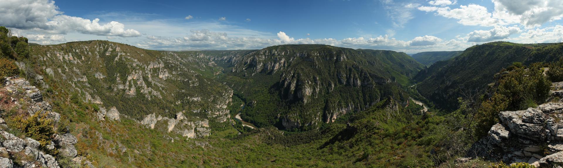
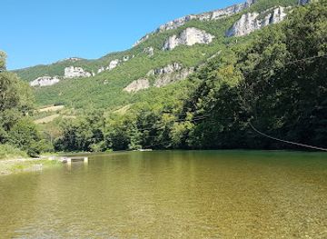
Discover the enchanting Tarn Gorges in France, where dramatic cliffs, verdant landscapes, and historical villages create a perfect backdrop for adventure and relaxation.
Tell me more about Tarn Gorges