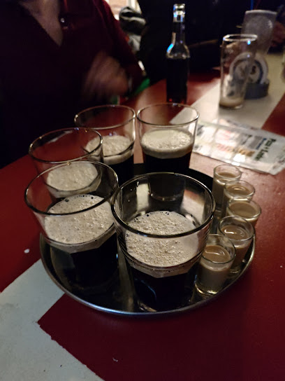
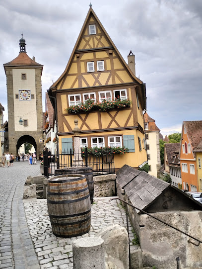
Discover the Geodätischer Referenzpunkt Rothenburg ob der Tauber
Explore the Geodätischer Referenzpunkt in Rothenburg ob der Tauber, a historic site that reveals the fascinating world of geodesy and surveying.
The Geodätischer Referenzpunkt in Rothenburg ob der Tauber is a fascinating tourist attraction that offers visitors a unique glimpse into the history of geodesy and surveying in Germany. Nestled in the charming medieval town, it serves as a reminder of the precision and scientific advancement that has shaped our understanding of geography.
A brief summary to Geodätischer Referenzpunkt Rothenburg ob der Tauber
- Burggasse &, Heringsbronnengäßchen, Rothenburg ob der Tauber, Rothenburg ob der Tauber, 91541, DE
- Monday 12 am-12 am
- Tuesday 12 am-12 am
- Wednesday 12 am-12 am
- Thursday 12 am-12 am
- Friday 12 am-12 am
- Saturday 12 am-12 am
- Sunday 12 am-12 am
Local tips
- Visit early in the morning or late in the afternoon for beautiful lighting and fewer crowds.
- Combine your visit with a stroll around Rothenburg's medieval city walls for a complete historical experience.
- Look for informative plaques around the site to learn more about its significance in geodesy.
- Bring a camera to capture the stunning architecture and scenery surrounding the reference point.
Getting There
-
Walking
If you are starting from the main square (Marktplatz) in Rothenburg ob der Tauber, walk towards the east side of the square and head towards the Spitalgasse street. Continue walking straight until you reach the intersection with Burggasse. Turn left onto Burggasse. Keep walking straight, and you will pass by several shops and cafes. Once you reach the junction with Heringsbronnengäßchen, you will find the Geodätischer Referenzpunkt Rothenburg ob der Tauber at the corner of Burggasse and Heringsbronnengäßchen. Look for a small stone marker indicating the geodetic reference point.
-
Walking
If you are near the Rothenburg ob der Tauber Castle, exit the castle grounds and head towards the main road (Burggasse). Walk towards the north until you reach the intersection with Heringsbronnengäßchen. The Geodätischer Referenzpunkt is located at the junction of Burggasse and Heringsbronnengäßchen. Keep an eye out for the marker as you approach the corner.
-
Walking
From the Rothenburg Museum, exit the building and turn left onto the main road (Burggasse). Continue straight along Burggasse, walking past shops and local attractions. When you reach the intersection with Heringsbronnengäßchen, the Geodätischer Referenzpunkt Rothenburg ob der Tauber will be on your right at that corner. Look for the distinctive stone marker.
Discover more about Geodätischer Referenzpunkt Rothenburg ob der Tauber
Iconic landmarks you can’t miss
Furbringerscheune Tower
0.1 km
Discover the history and charm of Rothenburg ob der Tauber at the iconic Furbringerscheune Tower, a must-visit landmark for every traveler.
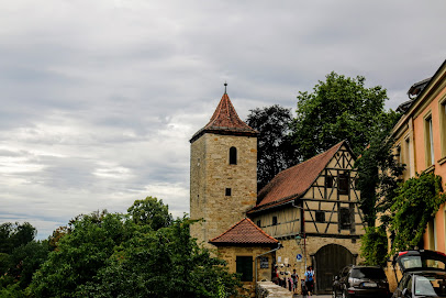
Castle Gate
0.1 km
Experience the historical grandeur of Rothenburg's Castle Gate, a breathtaking gateway to Germany's medieval past, perfect for tourists and history lovers alike.
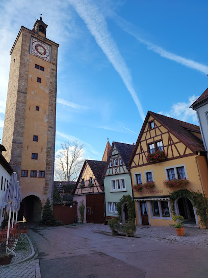
Burgeck
0.1 km
Explore Burgeck, a captivating historical landmark in Rothenburg ob der Tauber, showcasing medieval architecture and rich local history.
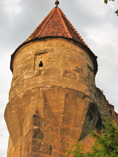
Crowd Tower
0.1 km
Explore the rich history and stunning architecture of the Crowd Tower in Rothenburg ob der Tauber, a must-visit historical landmark in Bavaria.
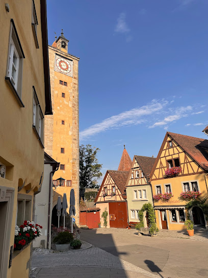
Johannite Tower
0.2 km
Explore the historical Johannite Tower in Rothenburg ob der Tauber, a stunning landmark rich in medieval architecture and breathtaking views.
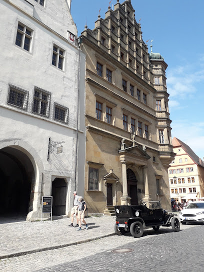
Johannisbrunnen
0.3 km
Explore Johannisbrunnen in Rothenburg ob der Tauber, a historical landmark that showcases the town's breathtaking medieval architecture.
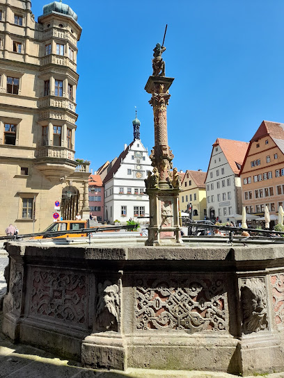
u. Schmiedgasse 16
0.3 km
Experience the enchanting charm of Rothenburg ob der Tauber's historic Schmiedgasse, where medieval architecture and vibrant culture await.
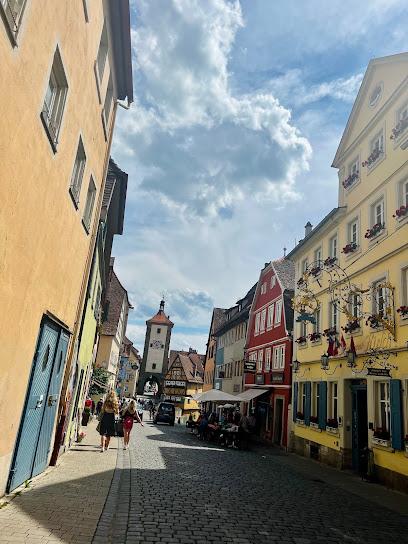
Glocke A. u. K. Thürauf
0.4 km
Discover the essence of Franconian cuisine and hospitality at Glocke A. u. K. Thürauf, a charming hotel-restaurant in Rothenburg ob der Tauber.

Cabbage Tower
0.4 km
Explore the historic Cabbage Tower, a remarkable landmark in Rothenburg ob der Tauber, that showcases medieval architecture and rich history.
Röderbrunnen
0.4 km
Explore Röderbrunnen, a historical treasure in Rothenburg ob der Tauber, where medieval charm and captivating stories await every visitor.
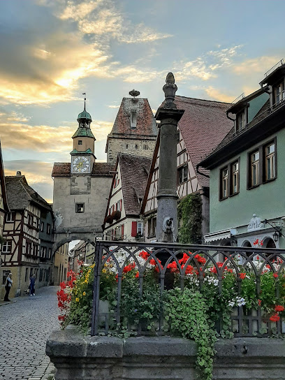
North City Wall
0.5 km
Discover the North City Wall of Rothenburg ob der Tauber, a stunning historical landmark offering panoramic views and a glimpse into medieval Germany.
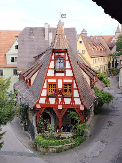
Rossmühle
0.5 km
Discover the charming Rossmühle in Rothenburg ob der Tauber, where medieval history and picturesque landscapes unite in a breathtaking experience.
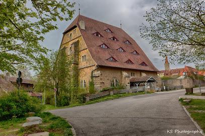
Aufgang zur Stadtmauer
0.5 km
Discover the historical charm of Rothenburg's city walls and enjoy breathtaking views from the ascent at Aufgang zur Stadtmauer.
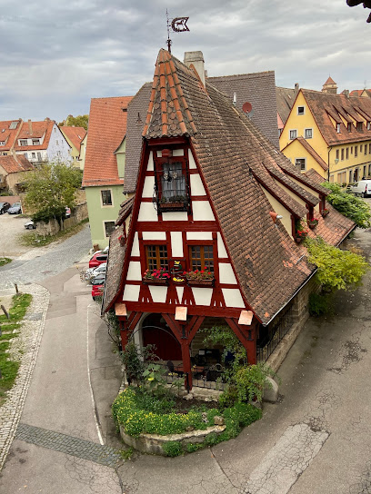
Executioner Tower
0.6 km
Discover the haunting beauty of the Executioner Tower, a historical landmark in Rothenburg ob der Tauber that unveils tales of medieval justice and architecture.
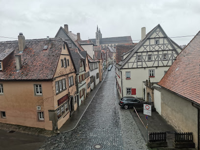
Womens Tower
0.6 km
Explore the Women's Tower in Rothenburg ob der Tauber, a stunning historical landmark with breathtaking views and rich medieval history.
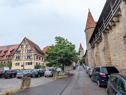
Unmissable attractions to see
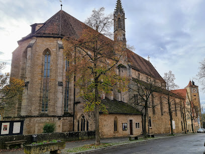
Franziskanerkirche
0.1 km
Discover the enchanting Franziskanerkirche in Rothenburg ob der Tauber, a stunning Evangelical church blending history, architecture, and spirituality.
Staudthof
0.1 km
Experience the charm of Staudthof, a historical landmark in Rothenburg ob der Tauber, where medieval history meets captivating architecture.
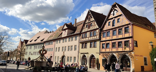
Herrnbrunnen
0.1 km
Discover the captivating beauty of Herrnbrunnen, a historical fountain in Rothenburg ob der Tauber, rich in culture and charm.
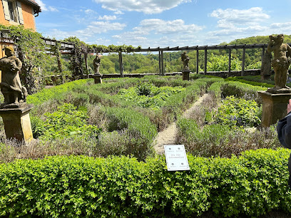
Castle Garden
0.1 km
Discover the serene beauty and historical allure of Castle Garden in Rothenburg ob der Tauber, a perfect escape for nature lovers and history enthusiasts alike.
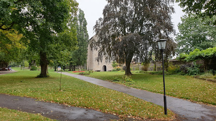
Zum Andenken an die ermordeten Juden
0.1 km
Visit Zum Andenken an die ermordeten Juden in Rothenburg ob der Tauber, a poignant memorial park honoring the memory of Holocaust victims in a serene setting.
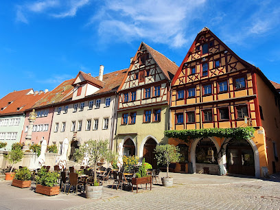
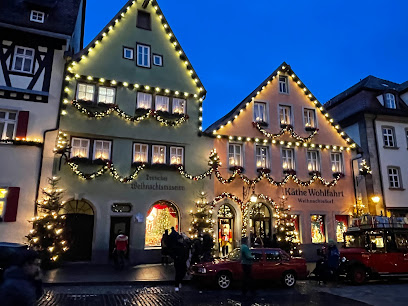
Käthe Wohlfahrt - Weihnachtsdorf
0.2 km
Discover Käthe Wohlfahrt, a magical Christmas village in Rothenburg ob der Tauber, where festive charm meets unique Bavarian gifts and decorations.
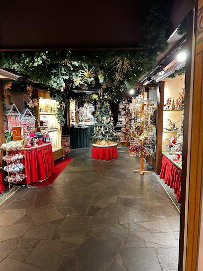
Käthe Wohlfahrt – Christkindlmarkt
0.2 km
Explore the magic of Christmas at Käthe Wohlfahrt, Rothenburg ob der Tauber's iconic Christmas store, offering an extensive selection of decorations and gifts.
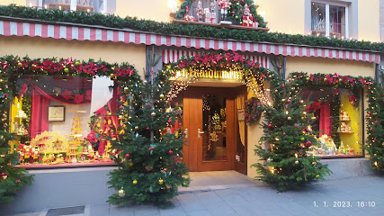
German Christmas Museum
0.2 km
Explore the enchanting German Christmas Museum in Rothenburg ob der Tauber, showcasing the rich traditions and history of Christmas celebrations.
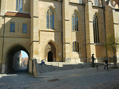
Bronzeskulptur des Hl. Jakobus
0.2 km
Explore the Bronzeskulptur des Hl. Jakobus in Rothenburg ob der Tauber, where art meets history in a picturesque town.
Rothenburg Town History Museum in the Thirty Years’ War
0.2 km
Explore the impact of the Thirty Years' War at Rothenburg Town History Museum, where history comes alive through captivating exhibits and artifacts.
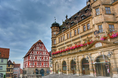
Town Hall Tower
0.2 km
Discover the Town Hall Tower in Rothenburg ob der Tauber, a stunning historical landmark offering breathtaking views and rich cultural experiences.
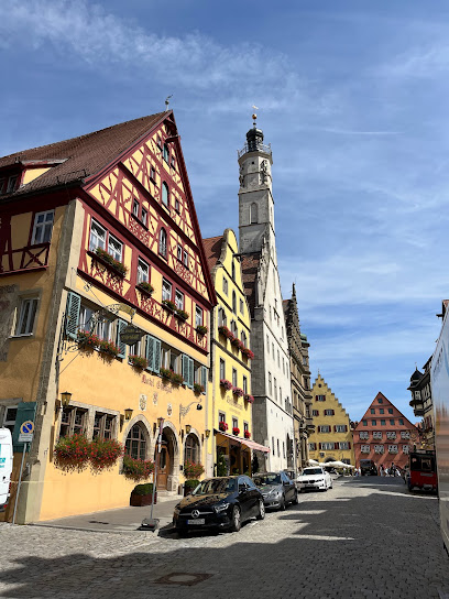
Broccoli fountain
0.2 km
Discover the whimsical Broccoli Fountain in Rothenburg ob der Tauber, where art meets humor in a charming medieval setting.
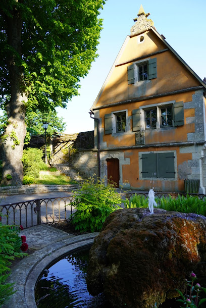
St. Jakobskirche
0.2 km
Discover the breathtaking Gothic architecture of St. Jakobskirche, a historical gem in Rothenburg ob der Tauber, rich in artistry and spirituality.
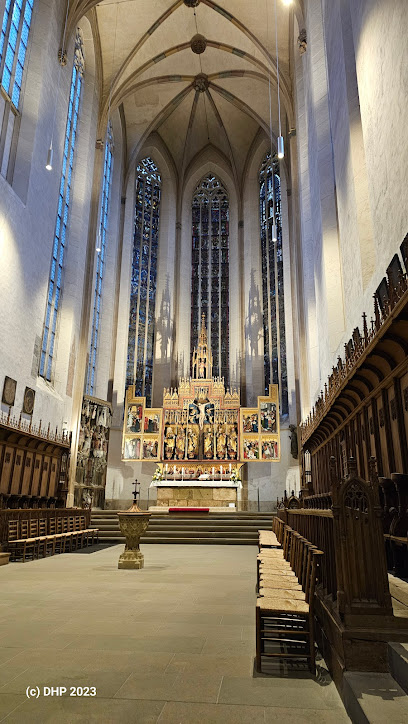
Alter Ziebrunnen
0.2 km
Explore the serene beauty and historical charm of Alter Ziebrunnen in Rothenburg ob der Tauber, a captivating attraction rich in culture and tranquility.
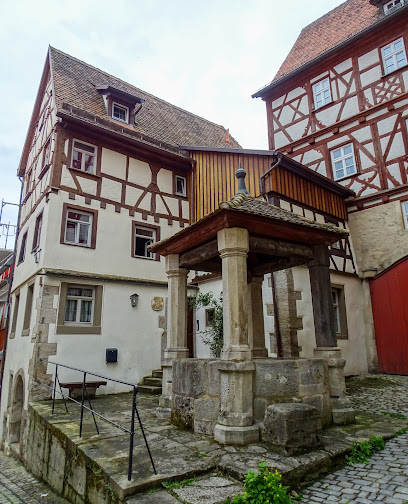
Fleisch- und Tanzhaus
0.2 km
Explore the architectural beauty and rich history of Fleisch- und Tanzhaus in Rothenburg ob der Tauber, a captivating medieval landmark.
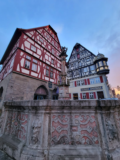
Essential places to dine
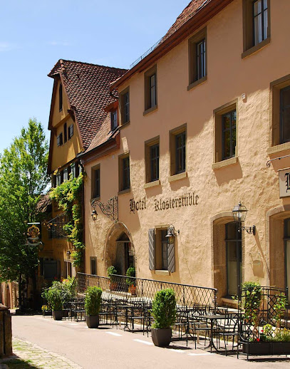
Restaurant Klosterstüble
0.0 km
Experience authentic German cuisine at Restaurant Klosterstüble in Rothenburg ob der Tauber – a delightful culinary journey awaits you.
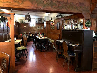
Weinstube zum Pulverer
0.1 km
Experience authentic Franconian cuisine and fine wines at Weinstube zum Pulverer in Rothenburg ob der Tauber.
HerR Restaurant
0.1 km
Experience exquisite local cuisine at HerR Restaurant in Rothenburg ob der Tauber - a culinary treasure in a historic setting.
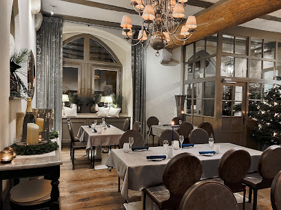
herrnschlösschen
0.1 km
Discover the exquisite flavors and historic charm at Herrnschlösschen, Rothenburg ob der Tauber's premier restaurant and hotel.

Zur Hoell
0.1 km
Experience authentic German cuisine in a historic setting at Zur Hoell in Rothenburg ob der Tauber.
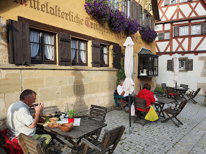
Eiscafé-Pizzeria Italia
0.1 km
Discover authentic Italian flavors at Eiscafé-Pizzeria Italia in Rothenburg ob der Tauber – where every bite transports you to Italy.
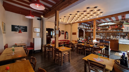
Delphi (Gasthof Marktplatz)
0.3 km
Savor authentic Greek flavors at Delphi in Rothenburg ob der Tauber, where delicious cuisine meets warm hospitality.
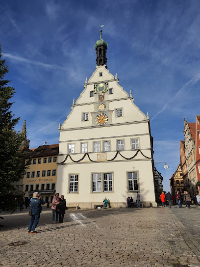
Hotel-Gasthof Goldener Greifen
0.3 km
Experience authentic Franconian cuisine at Hotel-Gasthof Goldener Greifen - where tradition meets comfort in Rothenburg ob der Tauber.

Baumeisterhaus Inh. Dieter Neupert
0.3 km
Experience authentic German cuisine at Baumeisterhaus in Rothenburg ob der Tauber, where tradition meets taste in a charming setting.
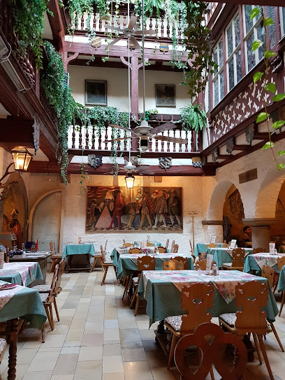
Ratsstube
0.3 km
Discover authentic German cuisine at Ratsstube in Rothenburg ob der Tauber, where tradition meets warm hospitality.
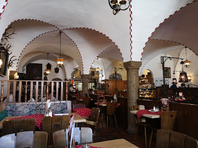
Zum Schwan
0.3 km
Experience authentic German cuisine at Zum Schwan in Rothenburg ob der Tauber – where every meal is a delightful journey through local flavors.
Restaurant Goldenes Lamm
0.3 km
Discover authentic German cuisine at Restaurant Goldenes Lamm in Rothenburg ob der Tauber - where tradition meets taste.
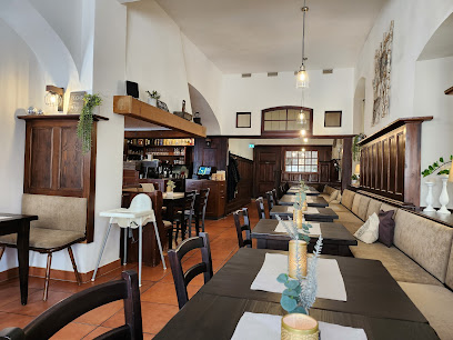
Altfraenkische Weinstube
0.3 km
Experience authentic Franconian cuisine at Altfraenkische Weinstube in Rothenburg ob der Tauber – where tradition meets taste.
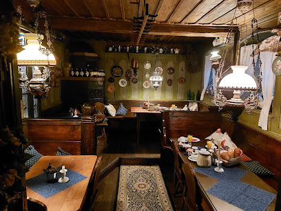
Restaurant Don Gallo
0.3 km
Experience exquisite Italian cuisine at Restaurant Don Gallo in Rothenburg ob der Tauber—where every dish tells a story.
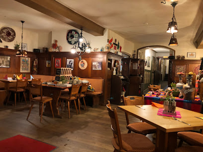
Meet for lunch
0.3 km
Experience authentic German cuisine at Meet for Lunch in Rothenburg ob der Tauber - where tradition meets flavor in a charming setting.
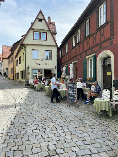
Markets, malls and hidden boutiques
Teddyland Matthias Unger e.K.
0.1 km
Explore Teddyland Matthias Unger, a charming teddy bear store in Rothenburg ob der Tauber, offering unique gifts and delightful bears for all ages.
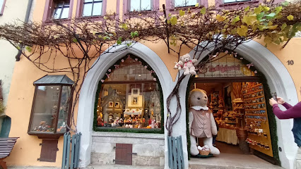
The Friese Shop
0.2 km
Explore the charm of Rothenburg ob der Tauber at The Friese Shop, your destination for unique gifts and authentic souvenirs.
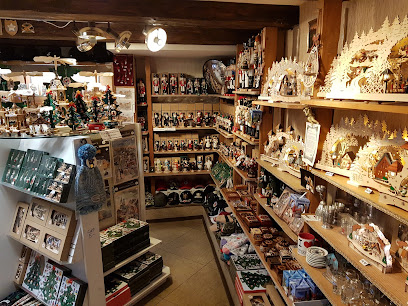
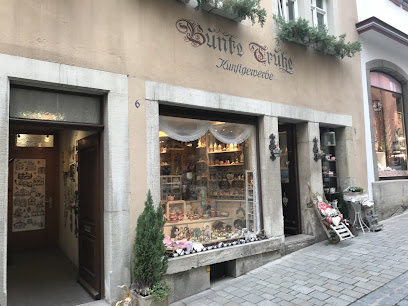
Bunte Truhe
0.2 km
Explore Bunte Truhe in Rothenburg ob der Tauber for handcrafted needlework and unique Christmas decorations that capture the essence of local craftsmanship.
Birkenstock Shop - Schuh Outlet Degenhardt GmbH
0.2 km
Explore comfort and style at the Birkenstock Shop in Rothenburg ob der Tauber, your destination for quality footwear in a historic setting.
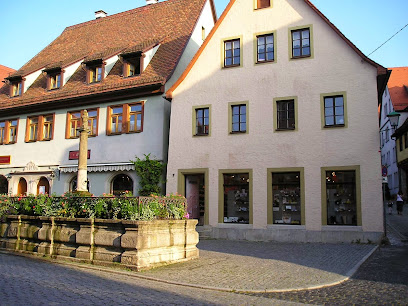
Teddys Rothenburg
0.3 km
Discover a whimsical world of toys, collectibles, and baby clothing at Teddys Rothenburg in the heart of Rothenburg ob der Tauber.
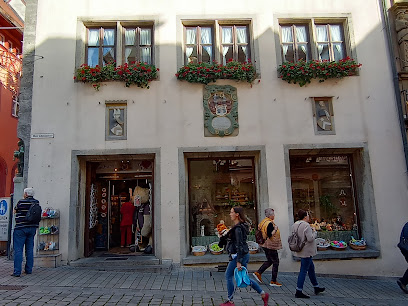
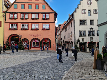
Geschenkehaus am Markt
0.3 km
Discover unique gifts and local crafts at Geschenkehaus am Markt, a treasure trove in the heart of Rothenburg ob der Tauber.
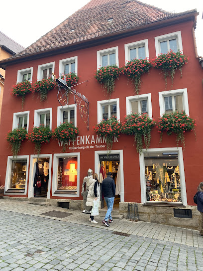
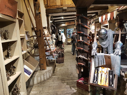
Waffenkammer Rothenburg o.d.T.
0.3 km
Explore the Waffenkammer in Rothenburg ob der Tauber for an unforgettable journey through medieval craftsmanship and history.
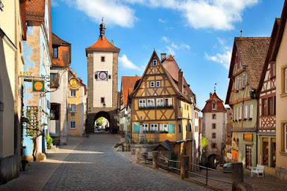
Friese Manuela Haus der 1000 Geschenke
0.3 km
Explore Friese Manuela Haus der 1000 Geschenke, a charming gift shop in Rothenburg ob der Tauber offering unique souvenirs and local crafts.
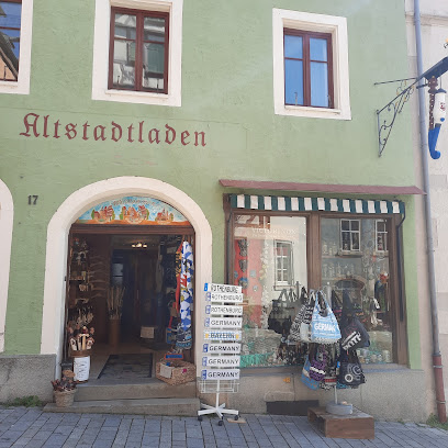
Altstadtladen
0.3 km
Discover unique gifts and local crafts at Altstadtladen, Rothenburg ob der Tauber's charming gift shop for memorable souvenirs.
Rothenburg
0.3 km
Discover a charming gift shop in Rothenburg ob der Tauber, showcasing unique local crafts and souvenirs that embody the essence of this medieval gem.
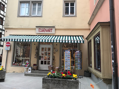
Eigenart
0.3 km
Discover unique souvenirs and local treasures at Eigenart, a charming gift shop in the heart of Rothenburg ob der Tauber.
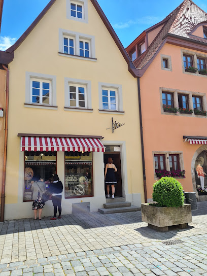
Sweets Company
0.3 km
Explore Rothenburg ob der Tauber's Sweets Company for an unforgettable candy experience filled with artisanal delights and local flavors.
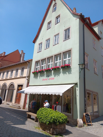
Haller's drunter & drüber
0.3 km
Discover unique women's fashion and accessories at Haller's drunter & drüber in Rothenburg ob der Tauber, a must-visit destination for stylish souvenirs.
AnRa Mode
0.3 km
Discover AnRa Mode in Rothenburg ob der Tauber: a chic clothing store offering unique fashion with a local flair amidst stunning medieval architecture.
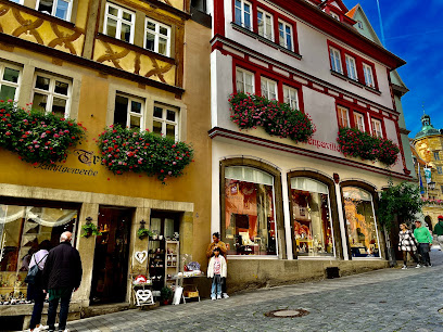
Klaus Abt
0.3 km
Discover unique gifts, costume jewelry, and local crafts at Klaus Abt, the premier gift shop in Rothenburg ob der Tauber.
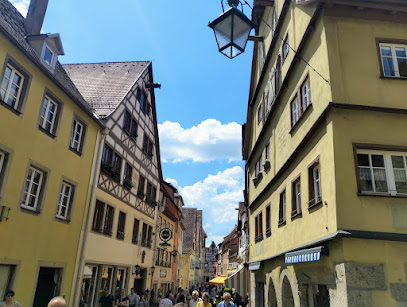
Essential bars & hidden hideouts
Refugium 21
0.1 km
Experience the charm and warmth of Refugium 21, a cozy bar in the heart of Rothenburg ob der Tauber, offering delightful drinks and a welcoming atmosphere.
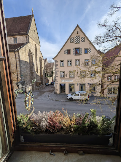
Paula’s Biergarten
0.1 km
Discover the vibrant atmosphere and local brews at Paula’s Biergarten in Rothenburg ob der Tauber, the perfect spot for relaxation and fun.
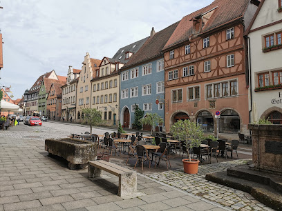
Café Lebenslust
0.2 km
Discover the delightful Café Lebenslust in Rothenburg ob der Tauber, where delicious pastries and cozy ambiance await every visitor.
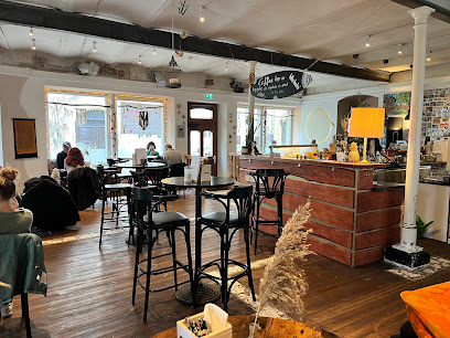
Reichsstadt Vinothek
0.3 km
Experience the rich flavors of Rothenburg ob der Tauber at Reichsstadt Vinothek, where local wines and charming ambiance await.
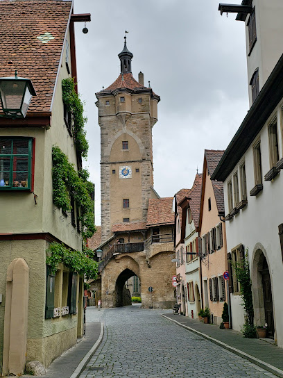
MUCHO AMOR Café & Bar
0.4 km
Discover Mucho Amor Café & Bar in Rothenburg ob der Tauber, where delightful cocktails and a cozy atmosphere await every tourist.
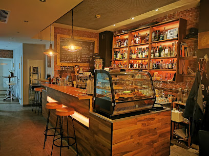
Gela's Lounge und Bar
0.4 km
Discover Gela's Lounge und Bar, a charming bar and cafe in Rothenburg ob der Tauber, perfect for unwinding with drinks and light bites.
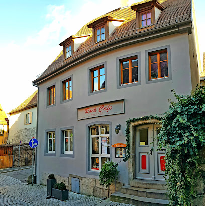
Guckloch 38
0.4 km
Experience the heart of German cuisine at Guckloch 38, a cozy pub and restaurant in Rothenburg ob der Tauber, perfect for travelers seeking local flavor.
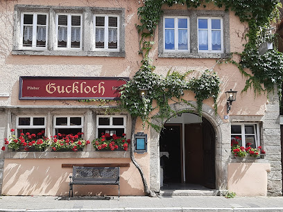
Chico Diaz Salsaborrr
0.5 km
Chico Diaz Salsaborrr: A vibrant bar in Rothenburg ob der Tauber offering an unforgettable blend of culture, music, and delicious drinks.
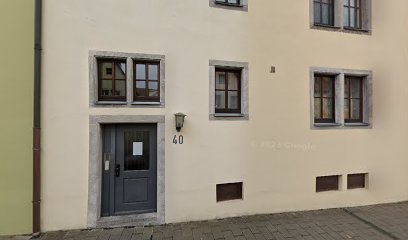
Better Together
0.7 km
Experience the vibrant atmosphere and friendly camaraderie at Better Together, a charming bar in Rothenburg ob der Tauber, perfect for unwinding with great drinks.
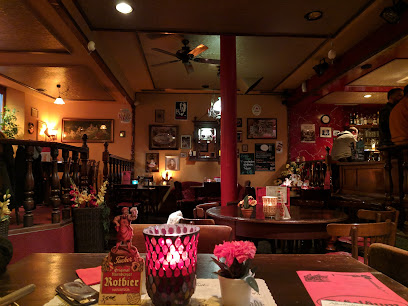
Alex´Pub
0.7 km
Discover the vibrant nightlife at Alex´Pub, Rothenburg ob der Tauber's top bar for crafted drinks and live entertainment amidst historic charm.
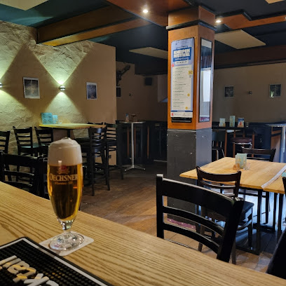
Dideldum e.V.
0.8 km
Discover the charm of Dideldum e.V., a cozy bar in Rothenburg ob der Tauber, where traditional German drinks meet a warm and inviting atmosphere.
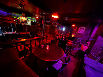
Württemberger Hof
0.8 km
Discover the charming Württemberger Hof in Rothenburg ob der Tauber, where traditional German drinks meet a cozy ambiance perfect for relaxation.
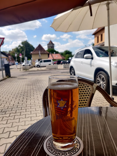
Liquid Corner
1.0 km
Experience the vibrant nightlife at Liquid Corner in Rothenburg ob der Tauber, where exceptional drinks meet a lively atmosphere.
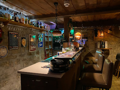
Triple
1.6 km
Experience the local charm and vibrant atmosphere of Triple Bar in Rothenburg ob der Tauber, where every drink tells a story.
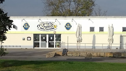
Irish Pub Ansbach
30.5 km
Immerse yourself in Irish culture at the lively Irish Pub Ansbach, where friendly vibes, delicious food, and great drinks await.
