Magnúsarlundur, Kopavogur Travel Guide
Explore the breathtaking hiking trails of Magnúsarlundur in Kópavogur, where nature and tranquility come together in perfect harmony.
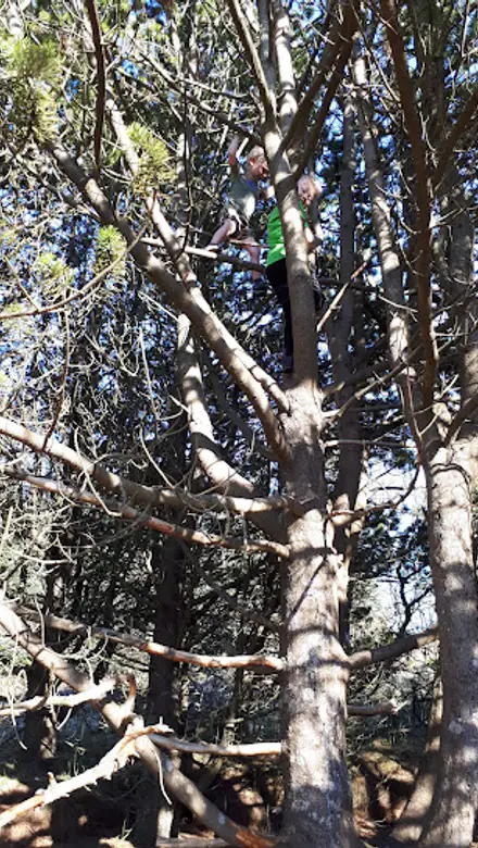
Magnúsarlundur, located in Kópavogur, is a stunning hiking area offering breathtaking views and a serene escape into nature. Perfect for tourists seeking adventure and tranquility.
A brief summary to Magnúsarlundur
- 35HC+4GV, Kópavogur, Vatnsendi, IS
- Click to display

Know before you go
Hi, I'm Eve. Here are a few practical things to know before exploring Magnúsarlundur.
- Visit during early morning or late afternoon for the best light and fewer crowds.
- Bring plenty of water and snacks, as there are no facilities along the trails.
- Wear sturdy hiking boots for comfort and safety on uneven terrain.
- Check local weather conditions before your hike to ensure a safe experience.
Do you manage this location?
Take control to get all the benefits, like improved information, better appearance, and stronger visibility across AI-powered discovery. Learn more about listing your business on Evendo
Activate your presenceOther nearby places you may find interesting
The closest places of the same kind, if this one is not quite what you had in mind.
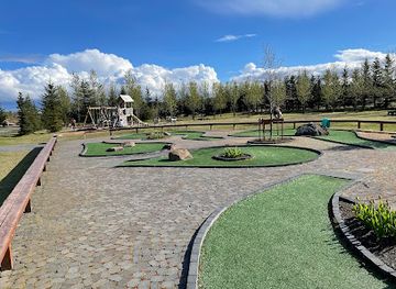
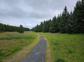
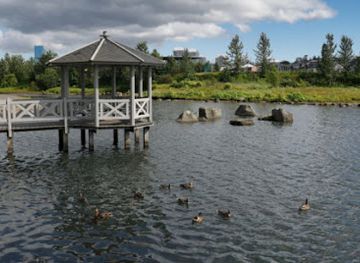
Explore Magnúsarlundur on the Map
A handpicked selection of must-see spots near Magnúsarlundur, mapped for you.
Getting There
-
Public Bus
From the central area of Kópavogur, head to the nearest bus stop, which is likely 'Kópavogur, Hringbraut.' Take Bus 1 towards 'Hafnarfjörður' and get off at the 'Kópavogur, Smáralind' stop. From there, you can walk to Magnúsarlundur by heading southeast on Smáralind towards Krónan. Continue straight on Krónan for approximately 1.5 km until you reach the entrance to Magnúsarlundur, which is near the coordinates 64.0778704, -21.8287105.
-
Walking
If you're starting from the center of Kópavogur, you can walk to Magnúsarlundur. Begin at 'Kópavogur, Tjarnargata' and walk west on Tjarnargata until you reach the intersection with Hringbraut. Turn left onto Hringbraut and continue for about 800 meters until you reach Smáralind. From Smáralind, take Krónan road heading southeast for about 1.5 km, and you will arrive at Magnúsarlundur, located at the coordinates 64.0778704, -21.8287105.
-
Taxi or Ride-sharing
If you prefer a more convenient option, you can use a taxi or a ride-sharing app. Simply request a ride to 'Magnúsarlundur, Kópavogur' using the GPS coordinates 64.0778704, -21.8287105 as your destination. This is a quick and efficient way to reach the hiking area without needing to navigate public transport.
Discover more about Magnúsarlundur













Your all‑in‑one travel companion app
Explore expert travel guides, compare and book tours, experiences, hotels, and more—all from the palm of your hand. Download now for seamless trip planning wherever your wanderlust takes you.


Explore More of Kopavogur
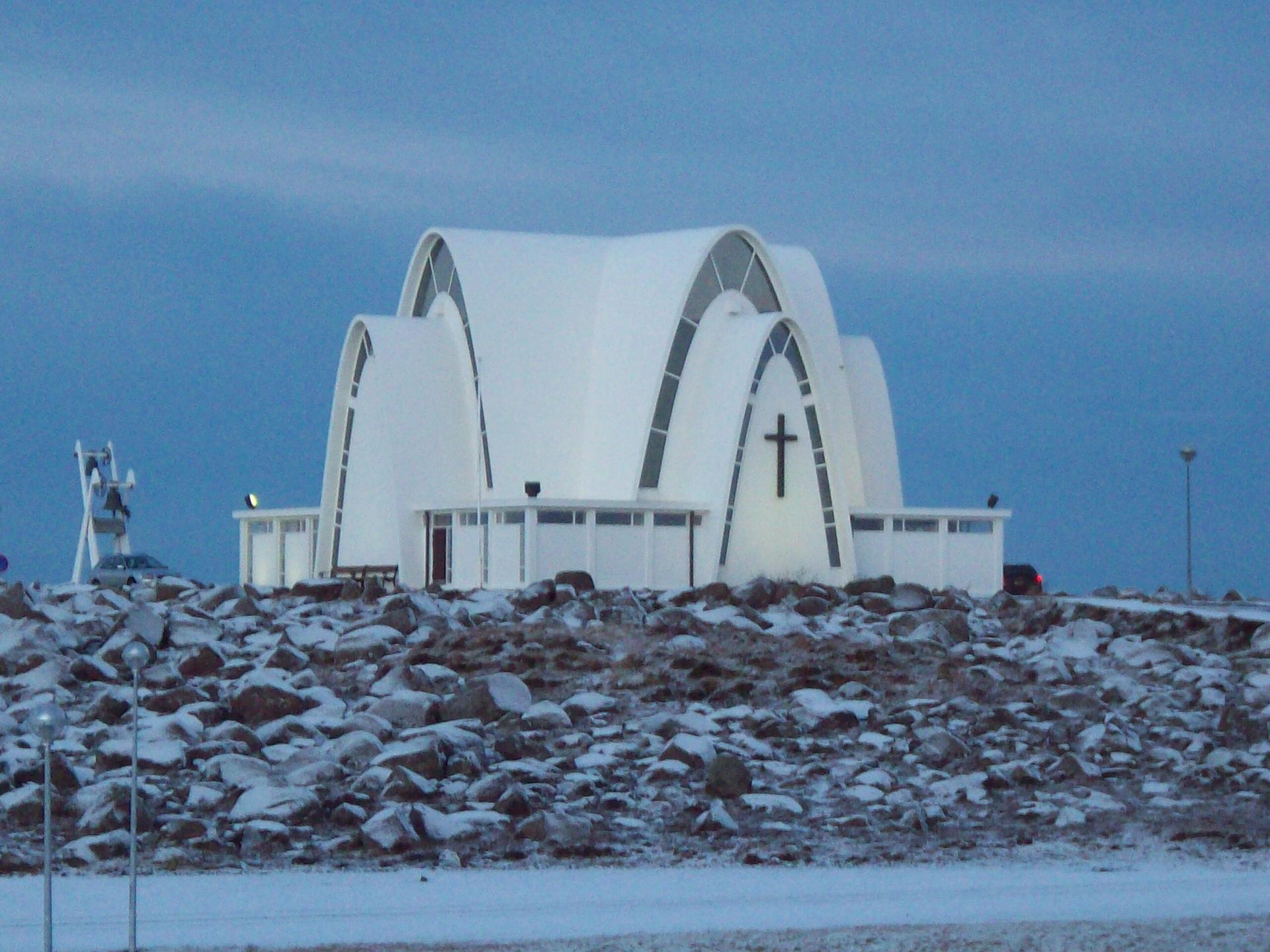
Looking beyond Magnúsarlundur? Discover Kopavogur for broader travel guides, local hot-spots, and regional highlights.
Explore Kopavogur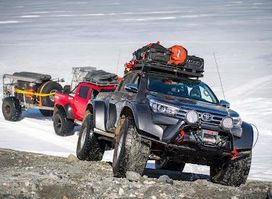
Discover the thrill of off-road adventures with Arctic Trucks in Reykjavik, where breathtaking landscapes meet unforgettable experiences.
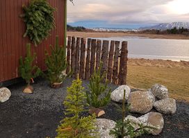
Discover the serene beauty of nature at the Reykjavík Forestry Association, a perfect retreat for tourists seeking tranquility and adventure.