Mosul Dam Lake: A Reservoir of History and Scenery
Explore the vast reservoir of Mosul Dam Lake: a place of scenic beauty, vital resources, and a symbol of Iraq's enduring spirit.
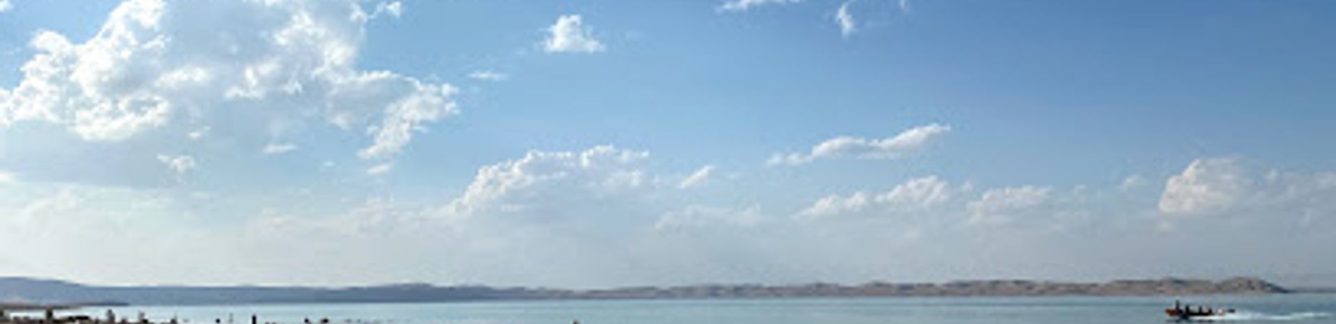
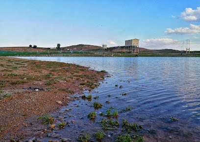
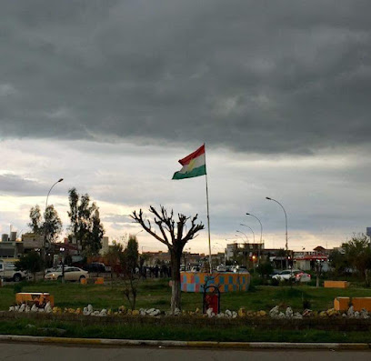
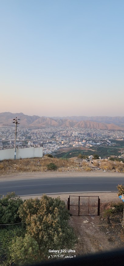
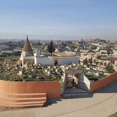
Mosul Dam Lake, also known as Lake Dahuk, is a vast reservoir created by the Mosul Dam on the Tigris River. Formed in 1985, it serves as a vital source of hydroelectric power and irrigation for the region. The lake's shores are becoming a destination for recreation, marking a hopeful revival after years of conflict.
A brief summary to Mosul Dam Lake
- IQ
Local tips
- Check local news for updates on the redevelopment project at Mosul Dam Tourist City before planning your visit.
- Be aware that security conditions in the area may be subject to change; stay informed through local authorities.
- If water levels are low, explore the remains of the submerged village of Khanke for a unique historical experience.
Getting There
-
Driving
From Mosul, head north on the main highway towards Dohuk. The lake and dam are approximately 40-60 km north of Mosul. Follow signs for "سد الموصل" (Mosul Dam in Arabic). Be aware of checkpoints along the way. Road conditions can vary, so drive carefully. There are no toll roads on the direct route. Parking is available near the dam, but it can be limited, especially during peak season. Parking is free.
Discover more about Mosul Dam Lake
Iconic landmarks you can’t miss
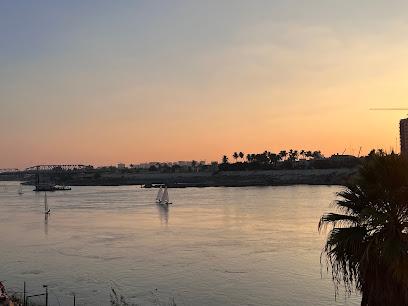
Tigris River
12.9 km
Explore the Tigris River in Duhok: a historic waterway offering natural beauty and a glimpse into ancient Mesopotamian civilizations.
Model Home
15.1 km
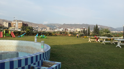
Discover tranquility at Model Home Park in Khanke, Duhok: green spaces, walking paths, and natural beauty await!
شارع
15.6 km
Discover Dumiz Arboretum: A peaceful escape in Duhok Governorate with diverse flora, tranquil paths, and stunning natural beauty.

بحيرة خانكي (ئافا خانكي)
18.1 km
Discover the serene beauty of Khanke Lake in Duhok Governorate, a tranquil oasis perfect for nature lovers and outdoor enthusiasts.
Halamata the sculptures - Halamata Cave
22.5 km
Explore ancient Assyrian art at Halamata Cave near Duhok, home to the remarkable Maltai reliefs dating back to King Sennacherib.
French Village Duhok
23.2 km
Experience European charm in the heart of Kurdistan: picturesque architecture, serene gardens, and a tranquil escape in French Village Duhok.
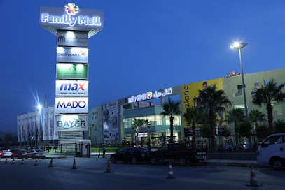
Family Mall Duhok
23.3 km
Duhok's premier shopping destination with diverse retail, dining, and entertainment options for the whole family, easily accessible on the Duhok-Zakho highway.
Shindoxa Wedding Hall
23.8 km
Discover the enchanting Shindoxa Wedding Hall in Duhok, a serene venue offering stunning gardens and rich cultural experiences for every visitor.
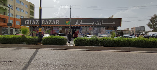
Ghazi Bazar غازي بازار
24.0 km
Experience the heart of Duhok at Ghazi Bazar, offering local flavors, unique souvenirs, and a taste of Kurdish culture.
Avrocity villa park
24.8 km
Escape to Avrocity Villa Park in Duhok: A lush oasis for relaxation, recreation, and community enjoyment amidst nature's beauty.
SHO
25.4 km
Discover the enriching experience at SHO in Duhok, where community initiatives and cultural warmth come together for a meaningful visit.
Duhok Mall
25.7 km
Experience modern shopping, dining, and entertainment at Duhok Mall, a premier destination in the heart of Duhok.
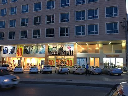
Moda Mall
25.7 km
Experience modern shopping and entertainment at Duhok's Moda Mall, featuring diverse brands and family-friendly facilities.
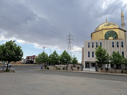
Saido Mosque
25.8 km
Discover the architectural beauty and spiritual solace of Saido Mosque in Duhok, a cultural gem in Iraqi Kurdistan.
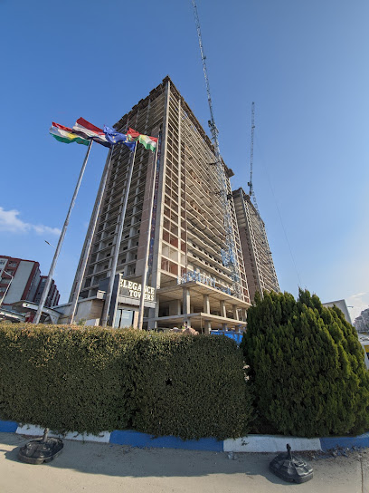
Elegance Towers
25.8 km
Experience modern urban living at Elegance Towers in Duhok, a gateway to the city's rich culture and historical landmarks.
Unmissable attractions to see
دورة المرور
16.7 km
Experience the breathtaking beauty and rich culture of Duhok, Iraq, where nature meets history in a captivating tourist attraction.

دەورا علمی 1
17.1 km
Explore the captivating landscapes and rich heritage of Dourah Alimi 1 in Dumiz, a hidden gem in the Duhok Governorate.
Gere Avdo
17.4 km
Explore the serene landscapes and rich cultural heritage at Gere Avdo, a hidden gem in Duhok Governorate, Iraq.
Zahiku kamuna
17.7 km
Discover the ancient city of Zahiku Kamuna in Duhok, where archaeological wonders meet breathtaking natural beauty and a rich tapestry of history.

عينة بندواي
18.4 km
Discover the serene beauty of Ayn Bandwaya, a picturesque village in Duhok, perfect for a peaceful escape and enjoying natural landscapes.
Halamata cave
22.1 km
Discover 3,000-year-old Assyrian carvings at Halamata Cave near Duhok, a glimpse into the art and history of the Neo-Assyrian Empire.
Zawa mountain چیایێ زاوا
22.4 km
Hike through stunning landscapes, and experience panoramic views from Zawa Mountain, a revitalized natural haven in Duhok.
Zawa Park
22.4 km
Escape to Zawa Park in Duhok: Nature, recreation, and cultural experiences await in this scenic state park.
النافورة الراقصة دهوك قمة جبل زاوا
22.8 km
Experience the magic of the Dancing Fountain at Mount Zawa, Duhok: where choreographed water dances meet breathtaking natural beauty and panoramic views.
چیای زاوا
22.8 km
Escape to the serene beauty of زاوا Mountain in Duhok, offering breathtaking views, hiking trails, and a peaceful retreat into nature.
گرێ قەیسەری یێ شینواری
23.1 km
Explore the historical Grê Qaysarî yê Şînwariy in Duhok Governorate, where nature meets ancient heritage in a serene park setting.
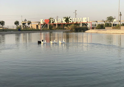
Semel Park
23.3 km
Escape to Semel Park: A serene getaway in Duhok Governorate with nature, culture, and peaceful landscapes.
Botanical garden dohuk
23.5 km
Discover a serene escape in Duhok's Botanical Garden, a vibrant showcase of Kurdistan's diverse plant life and natural beauty.
Avro City Park
23.7 km
Escape to Avro City Park in Duhok: A green sanctuary in the city center, perfect for relaxation, family fun, and enjoying nature's beauty.

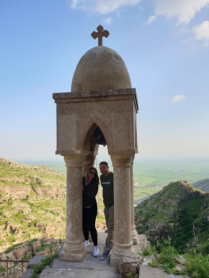
Rabban Hormizd Monastery
23.8 km
Explore the ancient Rabban Hormizd Monastery near Alqosh, a mountain sanctuary with centuries of Christian history and breathtaking views of the Nineveh Plain.
Essential places to dine
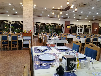
Mahabba Restaurant
20.5 km
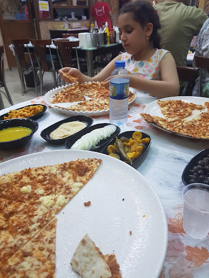
Discover the rich flavors of Iraqi cuisine at Mahabba Restaurant in Telskuf - an affordable gem for every traveler.
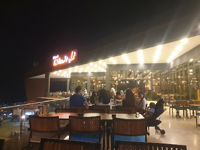
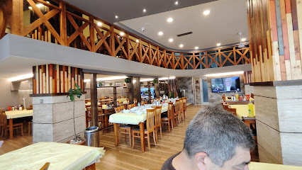
Nmlie Restaurant
22.5 km
Discover authentic Iraqi flavors at Nmlie Restaurant in Duhok – a must-visit culinary destination for every traveler.
Nmlie Restaurant & Cafe - Duhok
22.9 km
Experience authentic Kurdish flavors amidst stunning mountain views at Nmlie Restaurant & Cafe in Duhok.
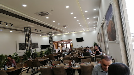
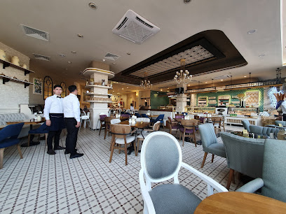
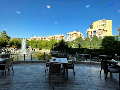
Ocean House
23.3 km
Discover exceptional dining at Ocean House in Duhok, where fresh ingredients meet exquisite flavors in a charming atmosphere.
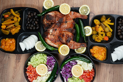
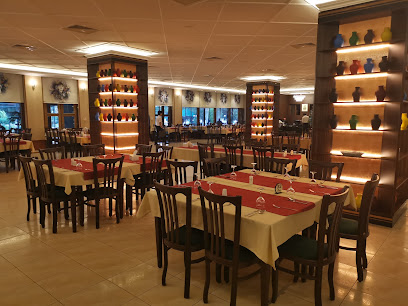
Zaynal Usta Restaurant
23.4 km
Experience the essence of Iraqi cuisine at Zaynal Usta Restaurant in Duhok – where tradition meets flavor.
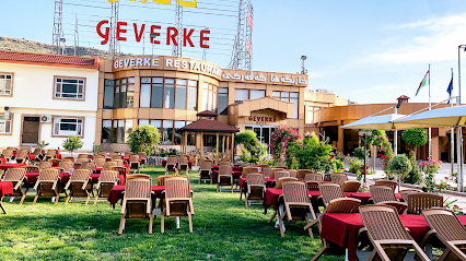
Geverke Restaurant
23.5 km
Discover authentic Kurdish flavors at Geverke Restaurant in Duhok – where tradition meets taste in every dish.
Shindokha Restaurant
23.9 km
Experience authentic Kurdish flavors at Shindokha Restaurant in Duhok—where every dish tells a story.
Shoresh Restaurant
24.2 km
Discover authentic Kurdish cuisine at Shoresh Restaurant in Duhok – where flavor meets affordability in a welcoming atmosphere.
MADO MALTA DUHOK
24.3 km
Discover exquisite Middle Eastern cuisine at MADO MALTA DUHOK in Duhok - where every dish is crafted with passion and tradition.
Malta Restaurant & Cafe Duhok
24.3 km
Experience the essence of Middle Eastern cuisine at Malta Restaurant & Cafe Duhok with diverse flavors and warm hospitality.
Araz rest
24.4 km
Experience authentic Iraqi flavors at Araz Rest in Duhok—where every dish tells a story and every meal is a celebration.
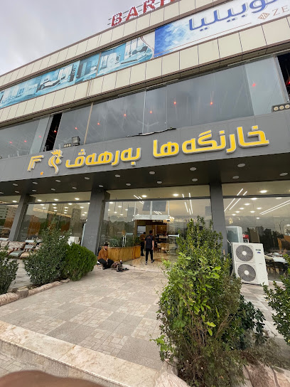
Barhav Restaurant
24.5 km
Discover authentic Kurdish cuisine at Barhav Restaurant in Duhok—where tradition meets flavor in every dish.
D’Fusion Asian restaurant
24.6 km
Experience authentic Asian cuisine at D’Fusion Restaurant in Duhok – where culinary tradition meets modern flair.
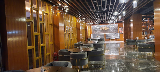
Glass House Restaurant & Coffee
24.7 km
Experience culinary excellence at Glass House Restaurant & Coffee in Duhok – where local flavors meet international cuisine in a stunning ambiance.
Sultan restaurant & dunar
24.9 km
Experience authentic Kurdish cuisine at Sultan Restaurant & Dunar in Duhok, where tradition meets warm hospitality.
Markets, malls and hidden boutiques
Murad market Hatarah, Irak
14.4 km
Discover local flavors and vibrant culture at Murad Market in Hatarah, Iraq – a must-visit supermarket for every traveler.
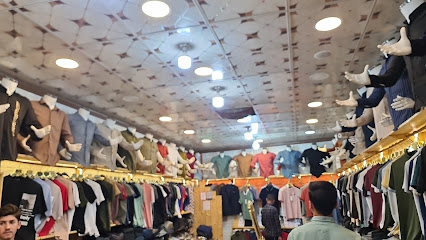
Khatara Show
14.4 km
Explore Khatara Show in Nineveh for a unique blend of traditional and modern clothing styles that reflect the vibrant culture of the region.
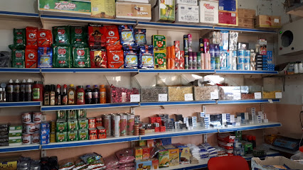
Markit Papi Karvani
14.4 km
Discover local flavors at Markit Papi Karvani, Khatare's vibrant grocery store with fresh produce and unique regional goods.
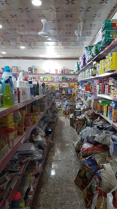
Samo khatari
14.4 km
Explore the charm of Samo Khatari, a unique home goods store in Khatare, offering locally crafted treasures that celebrate Nineveh's rich heritage.
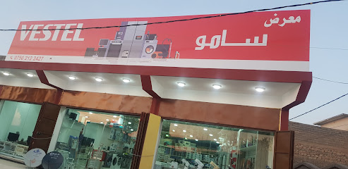
Modern market
14.4 km
Explore the Modern Market in Khatare, a vibrant hub of local produce and culture, offering fresh flavors and a taste of everyday life.
Ishtar Shop
14.7 km
Discover authentic Iraqi crafts and souvenirs at Ishtar Shop in Khatare, where local culture meets unique shopping experiences.
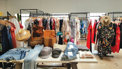
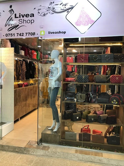
Livea shop
17.7 km
Explore Duhok's vibrant fashion scene at Livea Shop, where unique styles and local flair come together in a charming market atmosphere.
Azadi shop1
18.1 km
Explore the best of Kurdish craftsmanship at Azadi Shop in Sharya, a premier destination for unique and quality furniture.
Kalash
18.4 km
Experience the culture and craftsmanship at Kalash in Sharya, a must-visit smart shop for unique souvenirs and local artistry.
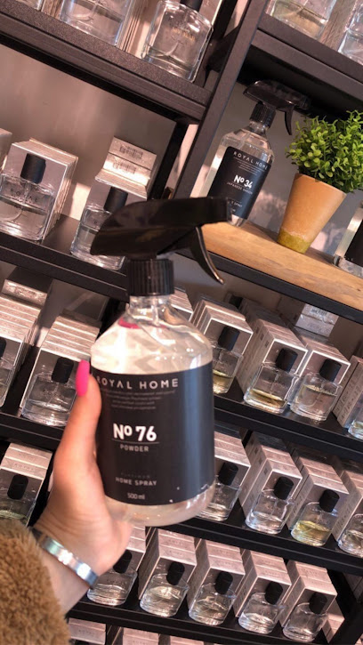
Royal Platinum Duhok Family Mall
23.2 km
Explore luxury and elegance at Royal Platinum Duhok Family Mall, the ultimate perfume destination in Duhok for travelers seeking unique fragrances.
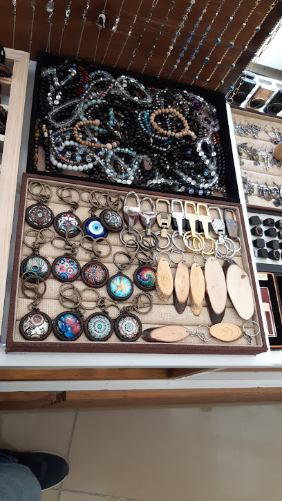
Azad gıft shopp محل أزاد لل هدايا
23.2 km
Explore Azad Gift Shop in Duhok for unique souvenirs and gifts that embody the rich culture and artistry of the region.
Mizori Collection Duhok Family Mall
23.2 km
Explore the Mizori Collection Duhok Family Mall for an exquisite selection of fragrances and a family-friendly shopping experience in the heart of Duhok.
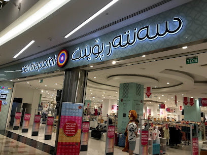
Centrepoint
23.2 km
Explore Centrepoint in Duhok for a family-friendly shopping experience with diverse stores offering fashion, beauty, and baby essentials.
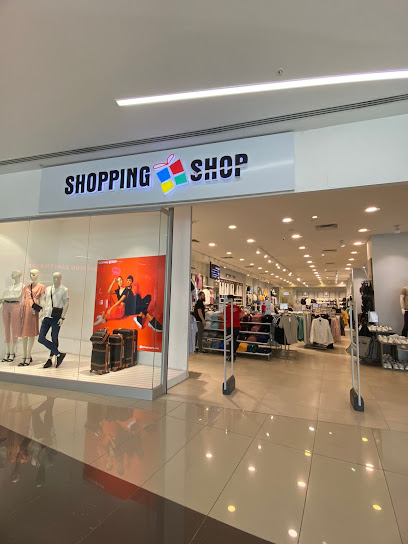
Shopping Shop
23.2 km
Explore the vibrant Shopping Shop in Duhok for a unique selection of fashionable clothing and local Kurdish styles.
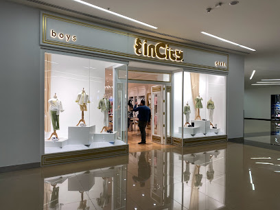
كارفور دهوك inCity
23.2 km
Explore Carrefour Duhok: A premier clothing store offering diverse fashion choices for every style in the heart of Duhok.
Essential bars & hidden hideouts
عمار محمد
17.3 km
Experience the lively nightlife and local flavors at عمار محمد, a must-visit bar in Nineveh Governorate, perfect for tourists seeking relaxation.
New bar
18.6 km
Experience the lively nightlife at Sharya's New Bar, where great drinks and a friendly atmosphere await every visitor.
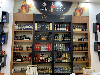
كازينو حمودا & hamoda BAR
20.5 km
Discover the essence of Telskuf at كازينو حمودا & hamoda BAR, where vibrant nightlife meets local culture in a warm and welcoming atmosphere.
ده ف ستير dava ster
20.8 km
Discover the lively ambiance and exquisite cocktails at ده ف ستير Dava Ster, the ultimate cocktail bar for a memorable night in Duhok.

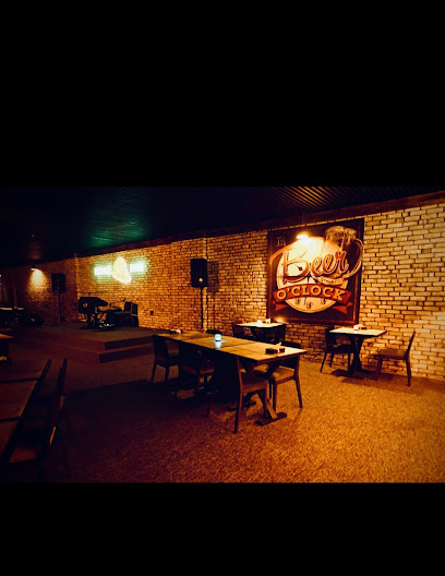
Shshabar dler كافتريا دلير
23.7 km
Experience an authentic hookah bar in Nineveh Governorate, where relaxation meets local culture in a vibrant setting.
بار افرست (Avrest bar)
25.0 km
Experience the lively nightlife and local flavors at Avrest Bar in Duhok, where every visit feels like a celebration.
Pers Club
25.1 km
Discover the lively atmosphere and eclectic drink selection at Pers Club, the heart of Duhok's nightlife scene.
Bells Bar
25.1 km
Discover the lively ambiance and local flavors at Bells Bar, a premier pub in Duhok, perfect for an unforgettable night out.
aram drink shop
25.2 km
Experience the vibrant atmosphere and local flavors at Aram Drink Shop, a cozy bar in the heart of Duhok, perfect for relaxation and socializing.
Kara Deniz
25.2 km
Discover the vibrant atmosphere of Kara Deniz, a premier bar and grill in Duhok, offering delicious food and a wide selection of drinks.
صالة اشبيليا الملكية
25.2 km
Discover the delicious flavors and vibrant atmosphere at صالة اشبيليا الملكية, Duhok's premier grill destination.

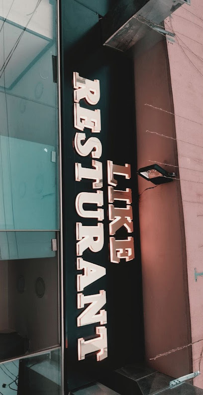
LIKE REST
25.2 km
Unwind at LIKE REST, Duhok's vibrant bar offering an eclectic drink menu and a lively atmosphere for a memorable nightlife experience.
Duhok gece bar
25.2 km
Discover Duhok Gece Bar, a lively hotspot in Duhok, offering an unforgettable nightlife experience with drinks, music, and a vibrant atmosphere.
Babylon Club
25.5 km
Discover the lively nightlife of Duhok at Babylon Club, where vibrant drinks and an engaging atmosphere await you.
Karsaf Café
25.7 km
Discover the vibrant atmosphere of Karsaf Café in Shekhka, where local flavors meet a welcoming ambiance for an unforgettable experience.