

carrick bridge, Ulster Part Within Current Ireland Travel Guide
Experience the thrill of crossing the Carrick-a-Rede Rope Bridge, a historic landmark on Northern Ireland's stunning Causeway Coast.
Brave the Carrick-a-Rede Rope Bridge, a historic crossing connecting the mainland to Carrick-a-Rede Island. Originally erected by salmon fishermen in 1755, this exhilarating bridge offers stunning coastal views and a glimpse into Northern Ireland's rich maritime past.
A brief summary to carrick bridge
- 119a Whitepark Rd, Bushmills, GB

Know before you go
Hi, I'm Eve. Here are a few practical things to know before exploring carrick bridge.
- Pre-book your tickets online, especially during peak season, to guarantee entry and avoid disappointment.
- Arrive early or visit during the quieter slots (9 am-11 am or 3 pm-5 pm) for a less crowded experience.
- Wear comfortable shoes as the walk from the car park to the bridge is about 20 minutes on a gravel path with some inclines and steps.
- Be prepared for windy conditions; the bridge can sway, adding to the thrill.
- Dogs are welcome on the site but are not permitted to cross the bridge.
Do you manage this location?
Take control to get all the benefits, like improved information, better appearance, and stronger visibility across AI-powered discovery. Learn more about listing your business on Evendo
Activate your presenceOther nearby places you may find interesting
The closest places of the same kind, if this one is not quite what you had in mind.
Explore carrick bridge on the Map
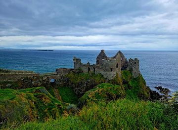
A handpicked selection of must-see spots near carrick bridge, mapped for you.
Getting There
-
Driving
If driving from Belfast, take the Causeway Coastal Route for a scenic journey. Parking is included with your bridge crossing ticket. If you are not crossing the bridge, there is a £10 parking fee. During peak season, parking can be limited, so consider using the layby on the Causeway Coastal Route and walking back to the entrance. From the car park, it's a 20-minute walk to the bridge.
-
Public Transport
The nearest train station is in Coleraine, about 16 miles away. From there, take the 402 bus towards Ballycastle. Alight at the bus stop on Whitepark Road, which leaves a 20-minute walk to the bridge. A single bus fare from Coleraine to Bushmills costs around £8. Alternatively, take the bus from Belfast to Bushmills (221), then another bus to the bridge.
-
Walking
From the visitor center, follow the 1-km coastal path to the bridge. The walk takes about 20 minutes and offers stunning views. Be prepared for some inclines, steps and uneven terrain. At the end of the path, descend the steep metal steps to the bridge entrance.
Discover more about carrick bridge













Your all‑in‑one travel companion app
Explore expert travel guides, compare and book tours, experiences, hotels, and more—all from the palm of your hand. Download now for seamless trip planning wherever your wanderlust takes you.


Explore More of Ulster Part Within Current Ireland
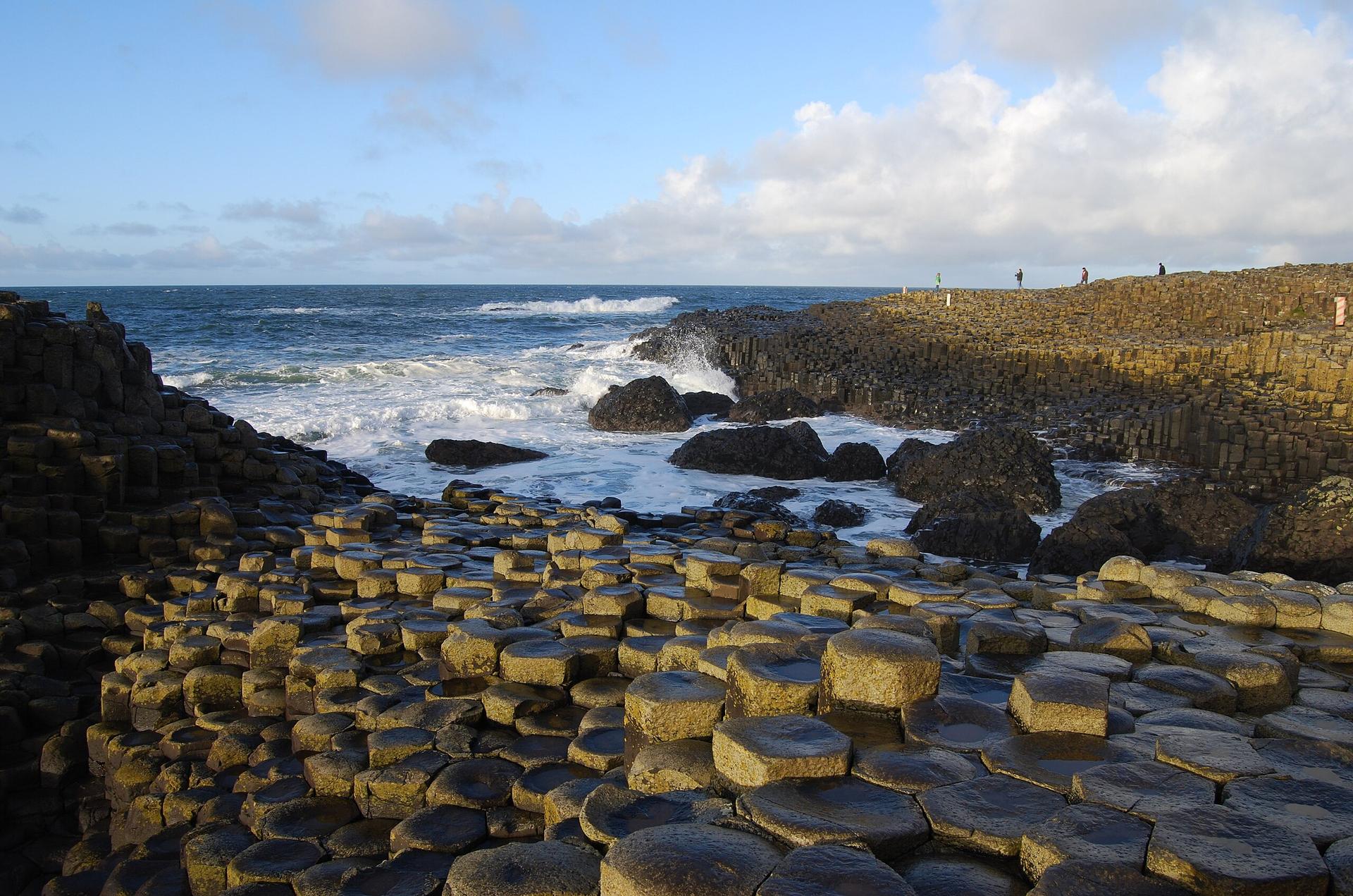
Looking beyond carrick bridge? Discover Ulster Part Within Current Ireland for broader travel guides, local hot-spots, and regional highlights.
Explore Ulster Part Within Current Ireland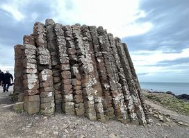
Experience breathtaking coastal vistas and ancient basalt columns at the iconic Giant's Causeway Viewpoint near Bushmills.
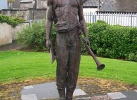
Experience the cultural heritage of the Ulster-Scots at the Alphabet Angel statue in Bushmills, a unique tourist attraction combining art and history.
