

Free Panhandle Travel Guide & Mobile App
Explore Panhandle with free travel guides. Discover regional history, expert tips, proposed trips, and audio guides on web or mobile app.


Explore Oklahoma’s Panhandle for Black Mesa, dark skies, open High Plains, frontier history and wide-ranging outdoor scenery.
Read more about Panhandle
Getting to and around Panhandle
How to get there
Transportation
Destinations in Panhandle
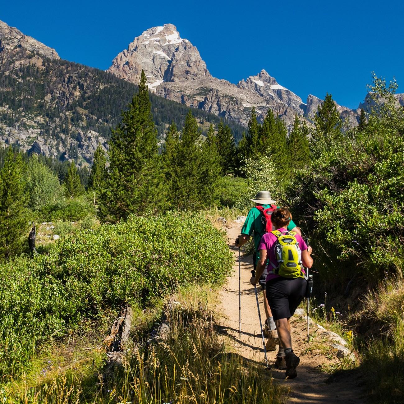
Resorts, valleys and scenic spots worth a trip of their own.
Swipe for more destinations
Best attractions in Panhandle
The Panhandle’s attractions are defined by open landscapes and the opportunity to experience them at an unhurried pace. Black Mesa State Park, near Kenton, is the region’s leading destination for hiking, camping, wildlife observation and dark-sky viewing, while the adjacent Black Mesa Nature Preserve protects rugged terrain associated with Oklahoma’s highest ground. The western landscape rewards careful exploration of its mesas, volcanic formations and broad views, although visitors must be prepared for exposure and limited services. In the east, Beaver Dunes State Park provides a contrasting setting of sandy terrain used for off-road recreation. Guymon offers museums and local cultural institutions that interpret agriculture, settlement and community life, while Goodwell’s university campus reflects the educational infrastructure of the rural Panhandle. Boise City’s local history gives context to the western end of the region, and the open roads themselves are part of the experience, linking ranchland, irrigated fields, grasslands and small county towns. This is a destination for geology, astronomy, road travel and landscape observation rather than a concentrated circuit of major urban attractions.
-
Tourist attraction
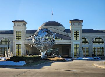
WinStar World Casino
Discover the excitement at WinStar World Casino, where thrilling gaming, world-class entertainment, and luxurious accommodations await every visitor.
-
Tourist attraction
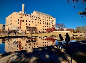
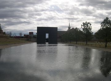
Oklahoma City National Memorial & Museum
Explore the Oklahoma City National Memorial & Museum, a poignant tribute to resilience and remembrance, honoring the victims of the 1995 bombing.
-
Tourist attraction
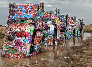
Cadillac Ranch
Experience the vibrant art of Cadillac Ranch, a unique roadside attraction in Amarillo, Texas, blending creativity, culture, and the spirit of Americana.
-
Tourist attraction
National Cowboy & Western Heritage Museum
Explore the captivating history and art of the American West at the National Cowboy & Western Heritage Museum in Oklahoma City.
Best landmarks in Panhandle
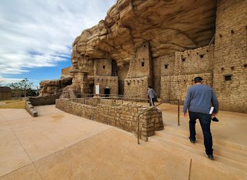
Black Mesa is the Panhandle’s defining natural landmark, its elevated volcanic landscape standing apart from the surrounding plains and culminating in Oklahoma’s highest point near Kenton. The mesa and its associated canyons and rock formations give the western region a visual identity that differs sharply from the flatter agricultural country farther east. The three-state area where Oklahoma meets Colorado and New Mexico is another significant geographic reference, although the exact border point is best treated as a remote landscape feature rather than a developed monument precinct. In Boise City, the Cimarron County courthouse and town centre represent the civic architecture of a sparsely settled county shaped by ranching, farming and frontier administration. Guymon’s streets and public institutions reflect the Panhandle’s role as a regional service centre, while Goodwell’s Oklahoma Panhandle State University is a landmark of education and agricultural development. Beaver’s historic town setting and the surrounding open country provide a contrasting eastern expression of the same High Plains environment.
-
State park
Beavers Bend State Park and Nature Center
Discover the natural wonder of Beavers Bend State Park, a premier destination for outdoor adventures and serene landscapes in Oklahoma.
-
National reserve
Chickasaw National Recreation Area
Discover the stunning landscapes and rich history of Chickasaw National Recreation Area, a premier destination for outdoor adventures in Oklahoma.
-
Tourist attraction
Blue Whale of Catoosa
Explore the whimsical Blue Whale of Catoosa, a must-see roadside attraction in Oklahoma, offering a unique glimpse into Americana and family fun.
-
Tourist attraction
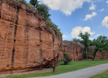
Red Rock Canyon Adventure Park
Discover the breathtaking landscapes and thrilling activities at Red Rock Canyon Adventure Park, a premier tourist destination in Oklahoma.

Explore Panhandle on the map
Plan your trip on one map. See where the top cities, national parks and sights are, and book hotels and experiences in a few clicks.
Best hotels in Panhandle
Best restaurants in Panhandle
Dining in the Panhandle reflects the working economy of the southern High Plains, with beef, wheat, poultry, Mexican-American influences and straightforward American comfort food appearing widely in local restaurants, cafés and family-run eateries. Guymon has the broadest choice of places to eat, while smaller communities tend to offer practical cafés, diners and traditional restaurants serving residents, travellers and agricultural workers. Breakfasts, burgers, steaks, fried dishes and baked goods are common expressions of the regional food culture, and locally sourced beef is an important part of the area’s identity, although menus vary by establishment. Seasonal produce and products from the wider Oklahoma and Texas Panhandle agricultural belt may also appear in markets and shops. Visitors should plan meals around driving distances, as rural dining choices can be limited outside the main towns and business hours may be shorter than in metropolitan areas. Tipping follows United States practice, with gratuities customary for full table service.
-
American
Eskimo Joe's
Experience delicious burgers and live music at Eskimo Joe's in Stillwater – a beloved American dining destination filled with local charm.
-
Steak
Cattlemen's Steakhouse
Experience the rich flavors of Oklahoma at Cattlemen's Steakhouse—home to mouthwatering steaks and authentic American cuisine.
-
Seafood
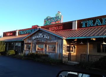
Trapper's Fishcamp & Grill
Discover fresh seafood delights at Trapper's Fishcamp & Grill in Oklahoma City - where culinary creativity meets Southern hospitality.
-
American
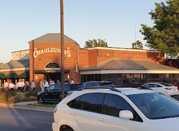
Charleston's Restaurant
Discover Charleston's Restaurant in Oklahoma City—where classic American flavors meet a welcoming atmosphere for an unforgettable dining experience.

Best bars in Panhandle
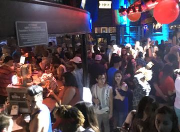
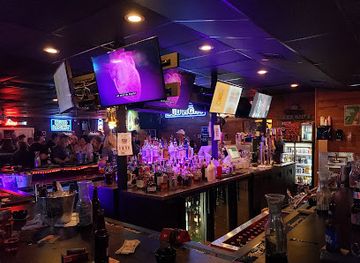
Evening life in the Oklahoma Panhandle is centred on restaurants, traditional bars, community events and casual social venues rather than a large nightclub circuit. Guymon has the region’s broadest selection of places for an evening out, while Beaver, Boise City and other county communities offer a smaller-scale atmosphere shaped by local residents, travellers and seasonal activity. Some venues combine food, drinks, televised sport or occasional live entertainment, but opening arrangements and programming can change. There are few reasons to travel here specifically for late-night clubbing; the stronger evening attractions are dark skies, quiet roads, local conversation and the chance to observe the High Plains after sunset. Arrange a safe journey in advance, particularly when staying outside the larger towns, and remember that distances between communities make walking home an unrealistic option in many areas.
-
American
Eskimo Joe's
Explore the vibrant atmosphere and delicious American cuisine at Eskimo Joe's, a must-visit destination in Stillwater, Oklahoma.
-
Bar
JJ's Alley
Discover the lively ambiance of JJ's Alley, a top bar in Oklahoma City offering live music, delicious food, and a welcoming atmosphere for all.
-
Bar
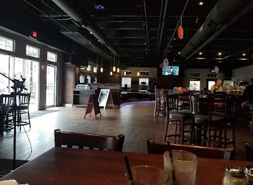
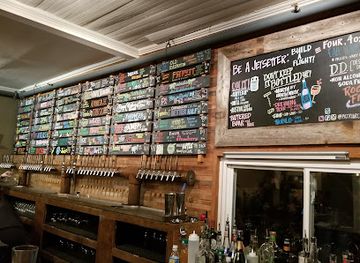
The Patriarch Craft Beer House & Lawn
Experience the best of local craft beer at The Patriarch Craft Beer House & Lawn in Edmond, where community and flavor come together in a vibrant outdoor setting.
-
Grill
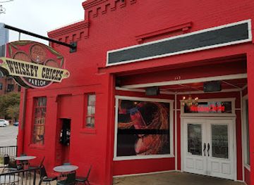
Whiskey Chicks
Dive into the lively ambiance of Whiskey Chicks, Oklahoma City's premier bar and grill featuring delicious food, refreshing drinks, and unforgettable live music.
Best nightclubs in Panhandle
Evening life in the Oklahoma Panhandle is centred on restaurants, traditional bars, community events and casual social venues rather than a large nightclub circuit. Guymon has the region’s broadest selection of places for an evening out, while Beaver, Boise City and other county communities offer a smaller-scale atmosphere shaped by local residents, travellers and seasonal activity. Some venues combine food, drinks, televised sport or occasional live entertainment, but opening arrangements and programming can change. There are few reasons to travel here specifically for late-night clubbing; the stronger evening attractions are dark skies, quiet roads, local conversation and the chance to observe the High Plains after sunset. Arrange a safe journey in advance, particularly when staying outside the larger towns, and remember that distances between communities make walking home an unrealistic option in many areas.
-
Night club
One15 Nightclub
Discover the nightlife essence at One15 Nightclub in Bricktown, where electrifying beats and vibrant ambiance await.
-
Lounge
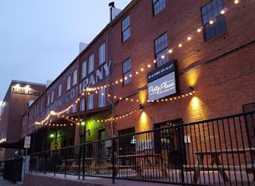
Pretty Please Social Room
Discover the vibrant nightlife of Oklahoma City at Pretty Please Social Room, where great music and a lively atmosphere await you.
-
Night club
Club Majestic
Unleash your inner party spirit at Club Majestic, Tulsa's premier night club, where great music and cocktails create unforgettable nights.
-
Bar
Katt's Cove
Discover the vibrant nightlife at Katt's Cove, where live music, karaoke, and games like darts and pool await in Oklahoma City.

Best shops in Panhandle
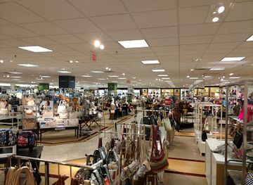
Shopping is practical and locally focused, with Guymon providing the Panhandle’s widest range of everyday retail, groceries, services and independent businesses. Beaver, Boise City and Goodwell offer smaller-town shopping shaped by local needs rather than destination retail, so visitors should not expect extensive malls or luxury districts. Useful purchases include regional food products, western-style clothing, books, crafts, artwork and souvenirs connected with Oklahoma’s High Plains identity. Independent shops and local institutions may carry items related to ranching, agriculture, Route-style road travel or the area’s frontier history, while nearby farms and producers can sometimes provide seasonal goods. Markets and community sales vary by town and date, making local enquiry worthwhile, but visitors should avoid assuming that a temporary event operates year-round. Stocking up on food, water, fuel and basic supplies in the larger communities is sensible before travelling towards Black Mesa or other remote areas.
-
Shopping mall
Penn Square Mall
Discover Oklahoma City's Penn Square Mall: A Shopping Haven with Diverse Retail, Dining, and Entertainment Options.
-
Gift shop
Craig's Curious Emporium
Explore Craig's Curious Emporium in Oklahoma City for unique gifts, eclectic finds, and a whimsical shopping experience in the Asian District.
-
Shopping mall
The Boxyard Tulsa
Explore The Boxyard Tulsa - a vibrant shopping mall featuring local shops, eateries, and unique experiences in repurposed shipping containers.
-
Gift shop
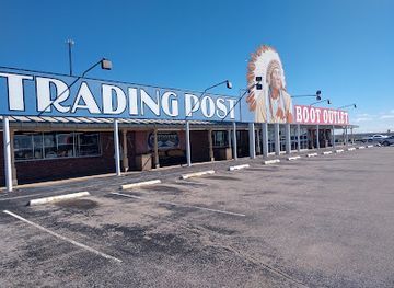
Cherokee Trading Post & Boot Outlet
Explore Cherokee Trading Post & Boot Outlet in Clinton, OK, for unique gifts, authentic Native American crafts, and stylish boots.


Get your free copy of our complete guide to Panhandle, delivered straight to you.
Everything on this page, from attractions and restaurants to essentials and local phrases, in one PDF you can read offline, print or share.
Already have an account? Sign in
Your Panhandle guide is ready.
We'll send it to · Not you? Sign out

Getting your guide ready…
We are putting together a fresh copy of the Panhandle guide. This can take up to a minute.
This can take a few moments. If your browser asks, choose Allow so the download can start. You'll find the guide in your Downloads folder.
Nothing happened? Download it again
Sorry, the guide is taking longer than usual. Please try again in a minute, or get it by email instead.
Panhandle essentials
Currency and Payment
Safety
Emergency Situations
Do's and Don'ts
Local Tips
From Eve
Local phrases worth knowing
You don't need to get them perfect. A few words go a long way, and locals appreciate the effort.
Basics
| English | Local | Say it |
|---|---|---|
| Hello | Howdy | [Ha-dee] |
| Goodbye | See ya later | [See ya lay-ter] |
| Yes | Yep | [Yep] |
| No | Nope | [Nope] |
| Please/You're welcome | Please/No problem | [Please/No prob-lum] |
| Thank you | Thanks a lot | [Thanks a lot] |
| Excuse me/Sorry | Excuse me/Sorry 'bout that | [Ex-cuse me/Sorry 'bout that] |
| How are you? | How ya doin'? | [How ya doin'?] |
| Fine. And you? | Good. And you? | [Good. And you?] |
| Do you speak English? | You speakin' English? | [You speakin' English?] |
| I don't understand | I ain't gettin' it | [I ain't gettin' it] |
Eating & Drinking
| English | Local | Say it |
|---|---|---|
| I'd like to see the menu, please | Can I see the menu, please? | [Can I see the menu, please?] |
| I don't eat meat | I don't do meat | [I don't do meat] |
| Cheers! | Cheers! | [Cheers!] |
| I would like to pay, please | Can I pay, please? | [Can I pay, please?] |
Emergencies
| English | Local | Say it |
|---|---|---|
| Help! | Help! | [Help!] |
| Go away! | Leave me alone! | [Leave me alone!] |
| Call the Police! | Call the cops! | [Call the cops!] |
| Call a doctor! | Get a doctor! | [Get a doctor!] |
| I'm lost | I'm lost | [I'm lost] |
| I'm ill | I'm feelin' sick | [I'm feelin' sick] |
Shopping
| English | Local | Say it |
|---|---|---|
| I'd like to buy... | I wanna buy... | [I wanna buy...] |
| I'm just looking | Just lookin' | [Just lookin'] |
| How much is it? | What's it cost? | [What's it cost?] |
| That's too expensive | That's too pricey | [That's too pricey] |
| Can you lower the price? | Can ya bring it down? | [Can ya bring it down?] |
Time & Numbers
| English | Local | Say it |
|---|---|---|
| What time is it? | What time ya got? | [What time ya got?] |
| It's one o'clock | It's one o'clock | [It's one o'clock] |
| Half past (10) | Half past ten | [Half past ten] |
| Morning | Mornin' | [Mornin'] |
| Afternoon | Afternoon | [Afternoon] |
| Evening | Evenin' | [Evenin'] |
| Yesterday | Yesterday | [Yesterday] |
| Today | Today | [Today] |
| Tomorrow | Tomorrow | [Tomorrow] |
| 1 | One | [One] |
| 2 | Two | [Two] |
| 3 | Three | [Three] |
| 4 | Four | [Four] |
| 5 | Five | [Five] |
| 6 | Six | [Six] |
| 7 | Seven | [Seven] |
| 8 | Eight | [Eight] |
| 9 | Nine | [Nine] |
| 10 | Ten | [Ten] |
Transport & Directions
| English | Local | Say it |
|---|---|---|
| Where's a/the...? | Where's the...? | [Where's the...?] |
| What's the address? | What's the address? | [What's the address?] |
| Can you show me (on the map)? | Can ya show me on the map? | [Can ya show me on the map?] |
| When's the next (bus)? | When's the next bus? | [When's the next bus?] |
| A ticket (to ....) | A ticket to... | [A ticket to...] |
History of Panhandle
Indigenous High Plains Heritage
The Panhandle has been occupied and travelled by Indigenous peoples for thousands of years. Its grasslands supported bison, and watercourses, mesas and springs helped structure seasonal movement across an otherwise demanding environment. Kiowa, Comanche, Arapaho and other peoples maintained longstanding connections with the southern High Plains before and during the period of Euro-American expansion. Archaeological evidence and the landscape itself provide reminders that the region’s history did not begin with ranches, railways or territorial boundaries.
The Santa Fe Trail Era
During the nineteenth century, the Santa Fe Trail crossed the wider High Plains, connecting Missouri with Santa Fe and carrying traders, travellers and military parties across the frontier. The Cimarron Route, one of the trail’s principal alternatives, passed through the broader Panhandle landscape along a demanding route where water could be scarce. Although little of the original trail survives as a continuous road, its course forms part of the region’s early commercial and military history and helps explain the importance of reliable travel corridors.
The Public Land Strip and No Man’s Land
For much of the late nineteenth century, the Panhandle was known as the Public Land Strip and popularly as No Man’s Land. It was not included in the original boundaries of Oklahoma Territory and, after Texas surrendered its claim to the area, remained an unusual unorganised district. Settlers created local institutions despite the absence of a conventional territorial government. The area was incorporated into Oklahoma Territory in 1890, establishing the broad political framework that eventually led to its inclusion in the State of Oklahoma.
Ranching, Homesteading and Statehood
Ranching and homesteading reshaped the Panhandle in the late nineteenth and early twentieth centuries. Cattle operations developed alongside small farms, while wells, trading posts and rail connections made permanent settlement more feasible. When Oklahoma entered the Union in 1907, the Panhandle became the western extension of the new state. Towns such as Boise City, Beaver and Guymon grew as county centres and service points, linking dispersed agricultural and ranching communities to wider markets.
The Dust Bowl and Agricultural Change
The Panhandle was among the areas severely affected by the drought, wind erosion and economic hardship of the Dust Bowl during the 1930s. Intensive cultivation, dry conditions and powerful winds stripped exposed topsoil, while many families faced crop failure and displacement. The period remains central to the region’s social memory and environmental history. Later changes in soil conservation, irrigation, farming methods and land management helped agriculture continue, although water availability and the vulnerability of High Plains farming remain important concerns.
War, Education and Modern Communities
The Second World War and the post-war period brought new economic and institutional developments. Boise City was mistakenly bombed during a United States Army Air Forces training exercise in 1943, an unusual wartime incident remembered in local history. In Goodwell, the institution now known as Oklahoma Panhandle State University developed as an important educational and agricultural centre. Today, the region combines established ranching and farming with education, energy, transport and service economies while retaining the dispersed settlement pattern shaped by its frontier past.
Panhandle in Photos
Browse through our photo collection highlighting the charm and character of the destination.
Neighbouring regions of Panhandle
The closest regions to Panhandle, if you have time for more than one.
-

-

-

-

-


Swipe for more regions
Explore more
Explore more of Oklahoma
Discover Oklahoma: Where the spirit of the Old West meets modern charm, offering a rich mix of history, nature, and vibrant culture in the heart of the United States.
Explore Oklahoma