

Free Harney Basin Travel Guide & Mobile App
Explore Harney Basin with free travel guides. Discover regional history, expert tips, proposed trips, and audio guides on web or mobile app.


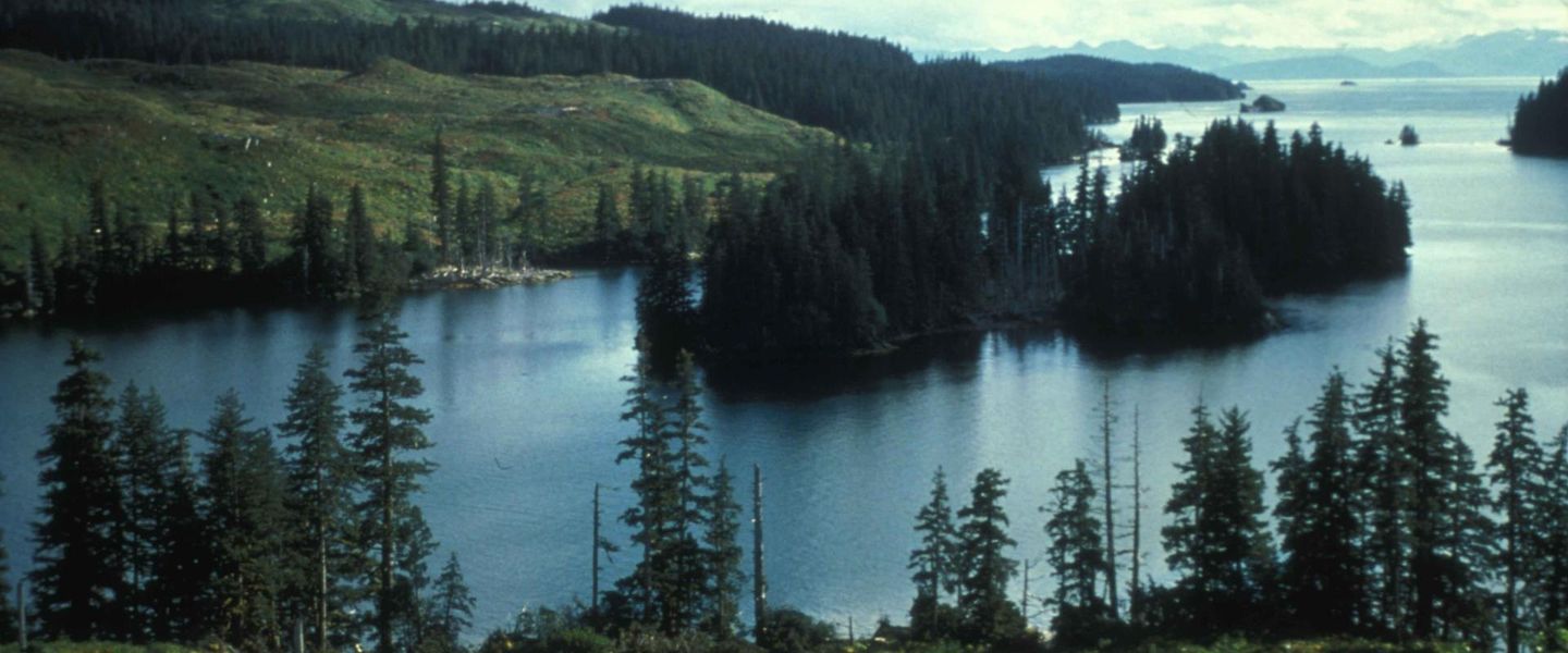


Explore Harney Basin’s wetlands, bird-rich refuge, ranching heritage and wide-open Oregon high desert from Burns and Hines.
Read more about Harney Basin
Getting to and around Harney Basin
How to get there
Transportation
Best attractions in Harney Basin
The defining attraction of Harney Basin is Malheur National Wildlife Refuge, where shallow lakes, freshwater marshes, wet meadows and sagebrush uplands support an exceptional range of migratory and resident birds. Depending on the season and water levels, visitors may see sandhill cranes, pelicans, geese, ducks, shorebirds, raptors and songbirds. The refuge’s roads and viewing areas are suited to patient exploration, wildlife photography and quiet observation rather than rapid sightseeing. Historic ranching places, including the P Ranch complex and nearby refuge buildings, add cultural context to the wetlands. Burns and Hines provide local museums, services and a useful base for understanding Harney County’s communities and working landscape. The Frenchglen area offers access to the southern refuge country, while broad views across the basin reveal the relationship between marsh, meadow, irrigated fields and sagebrush. Walking, scenic driving, nature study and dark-sky viewing are more central here than conventional family attractions or large visitor complexes. Conditions vary substantially with rainfall and season, so a landscape that appears lake-filled and bird-rich one year may look markedly more open or dry the next.
-
Hiking area
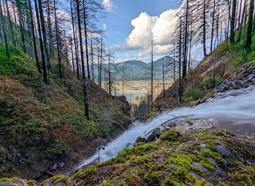
Columbia River Gorge National Scenic Area
Discover the stunning beauty of Columbia River Gorge National Scenic Area, a natural wonder in Oregon filled with waterfalls, hiking trails, and breathtaking landscapes.
-
State park
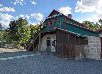
Kam Wah Chung State Heritage Site
Explore the rich heritage of Chinese Americans at Kam Wah Chung State Heritage Site in John Day, Oregon – a unique historical museum and state park.
-
Nature preserve
Malheur National Wildlife Refuge Visitor Center
Experience the breathtaking beauty and rich biodiversity of Malheur National Wildlife Refuge, a haven for nature lovers and wildlife enthusiasts in Oregon.
-
Monument
Pete French Round Barn State Heritage Site
Explore the iconic Pete French Round Barn State Heritage Site, a historic monument showcasing Oregon's agricultural legacy amidst stunning natural landscapes.


Best landmarks in Harney Basin
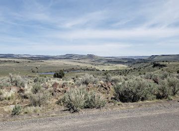
Malheur Lake and Harney Lake are the basin’s most recognisable natural landmarks, although their size and visibility change with water levels and seasonal conditions. Together with the surrounding marshes, they express the unusual geography of a closed high-desert basin in which water has no route to the sea. The broad wetlands and open sagebrush flats of Malheur National Wildlife Refuge form a landscape landmark along the Pacific Flyway, giving the area importance far beyond its low population. At the human scale, the P Ranch buildings and associated ranch structures preserve the physical character of the cattle operations that preceded federal wildlife protection. Burns and Hines, viewed against the basin’s open floor and distant ranges, provide the region’s principal settled landmark landscape. Approaches towards the Frenchglen area reveal the transition between wetland, meadow and higher desert country, while the refuge’s long roads, dikes and canals show how conservation and water management have shaped the modern scene. These landmarks are significant less for monumental architecture than for the way they make the basin’s ecology, history and exceptional spaciousness visible.
-
Resort hotel
Crane Hot Springs
Experience the soothing embrace of nature at Crane Hot Springs, where relaxation meets adventure in the heart of Oregon's stunning landscape.
-
State park
Kam Wah Chung State Heritage Site
Explore the historical legacy of Chinese immigrants at Kam Wah Chung State Heritage Site, a captivating blend of culture and nature in John Day, Oregon.
-
Monument
Pete French Round Barn State Heritage Site
Explore the rich agricultural heritage at the iconic Pete French Round Barn State Heritage Site in spectacular Oregon.
-
Bed & breakfast
The Mill House | Bed and Breakfast Inn and Events
Experience the serene beauty of Oregon at The Mill House, a charming bed and breakfast offering cozy accommodations and delightful local cuisine.


Explore Harney Basin on the map
Plan your trip on one map. See where the top cities, national parks and sights are, and book hotels and experiences in a few clicks.
Best hotels in Harney Basin
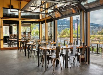
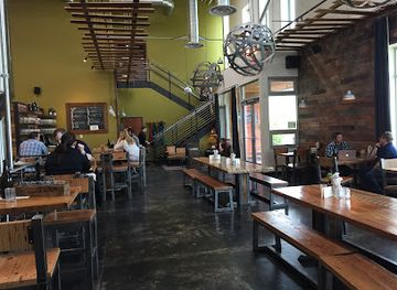
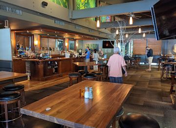
Best restaurants in Harney Basin
Dining in Harney Basin is concentrated in Burns and Hines, where visitors will find the practical mix of cafés, diners, family restaurants and casual American establishments expected in a remote Oregon county seat. Menus commonly reflect the wider high-desert and ranching economy, with hearty breakfasts, burgers, steaks and other filling meals suited to long days on the road. Local shops and markets may offer Oregon produce, baked goods and supplies for picnics, although the choice is more limited than in western Oregon’s larger towns. Ranching remains an important part of regional identity, but not every beef dish should be treated as a formally distinctive local speciality. Food planning matters when visiting the refuge or Frenchglen area: carry provisions rather than relying on finding a meal near a remote viewing route. Coffee shops and informal eateries in the Burns-Hines area are useful places to gather local information about road conditions, weather and seasonal activity.
-
Pizza
Solstice Wood Fire Pizza - Cafe & Bar
Experience mouthwatering wood-fired pizzas in a cozy setting at Solstice Wood Fire Pizza - Cafe & Bar in Hood River.
-
American
Cowboy Dinner Tree
Discover hearty American cuisine in a rustic setting at Cowboy Dinner Tree in Silver Lake, Oregon—where every meal feels like a taste of history.
-
Brewery
pFriem Family Brewers
Explore craft beers and farm-to-table delights at pFriem Family Brewers in Hood River – where every sip tells a story.
-
Restaurant
Riverside
Discover Riverside: A premier restaurant in Hood River offering exquisite cuisine and breathtaking views along the scenic riverbanks.

Best bars in Harney Basin
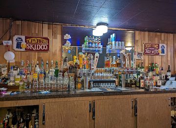
Harney Basin does not have a major nightclub scene. Evening life is centred on the restaurants, taverns, traditional pubs and community-oriented gathering places of Burns and Hines, where conversation and live local activity are more characteristic than late-night clubbing. Visitors may find beer, cocktails and familiar American drinks in town, while some establishments also provide televised sport or occasional music. The region’s scale means that opening patterns and entertainment options can vary, particularly outside busier periods, so it is sensible to make evening plans before leaving town. In rural areas, the night-time experience is primarily the landscape itself: exceptionally dark skies, wide horizons and the sounds of marsh and rangeland. Enjoy alcohol responsibly, arrange a safe way back to accommodation and never drive after drinking, especially on long, lightly trafficked roads.
-
American
The Pine Room
Experience the heart of American dining at The Pine Room in Burns, Oregon, where comfort food meets a warm and welcoming atmosphere.
-
Pizza
Outpost Pizza Pub & Grill
Discover the delightful flavors at Outpost Pizza Pub & Grill, where every slice tells a story of community and quality in John Day, Oregon.
-
American
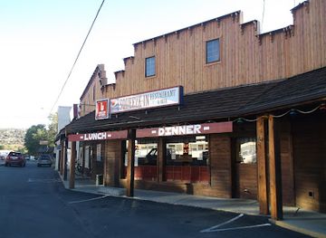
Squeeze-In Restaurant & Deck
Discover the charm of Squeeze-In Restaurant & Deck, where American breakfast classics meet a welcoming atmosphere in beautiful John Day, Oregon.
-
Restaurant
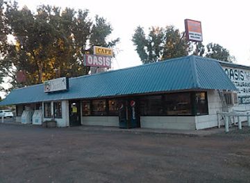
Oasis Cafe & Motel
Oasis Cafe & Motel in Juntura, Oregon: Where hearty meals and cozy accommodations meet the beauty of nature.

Best nightclubs in Harney Basin
Harney Basin does not have a major nightclub scene. Evening life is centred on the restaurants, taverns, traditional pubs and community-oriented gathering places of Burns and Hines, where conversation and live local activity are more characteristic than late-night clubbing. Visitors may find beer, cocktails and familiar American drinks in town, while some establishments also provide televised sport or occasional music. The region’s scale means that opening patterns and entertainment options can vary, particularly outside busier periods, so it is sensible to make evening plans before leaving town. In rural areas, the night-time experience is primarily the landscape itself: exceptionally dark skies, wide horizons and the sounds of marsh and rangeland. Enjoy alcohol responsibly, arrange a safe way back to accommodation and never drive after drinking, especially on long, lightly trafficked roads.
-
Hotel
Best Western Rory & Ryan Inns
Discover comfort and convenience at Best Western Rory & Ryan Inns, your ideal base for exploring Hines, Oregon's natural beauty and outdoor adventures.

Best shops in Harney Basin
Shopping in Harney Basin is practical and locally oriented, with the main selection found in Burns and Hines. Independent shops, general retailers, markets and galleries may carry clothing, outdoor equipment, books, gifts and supplies for a remote rural journey, while local food outlets are useful for assembling provisions before visiting the refuge. Regional souvenirs often reflect Oregon’s high-desert identity: wildlife imagery, Western and ranching themes, locally made crafts, artwork and products connected with the surrounding landscape. Visitors may find handmade work, antiques or local produce through small businesses and seasonal community events, but retail choice is limited compared with larger cities. There is no extensive designer-shopping district, and remote refuge areas have little conventional retail. Buying from local shops rather than expecting services at distant attractions helps support the basin’s communities and ensures that essentials are obtained before heading into areas with long gaps between settlements.
-
Grocery store
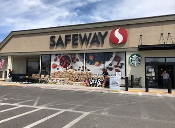
Safeway
Explore the best of Burns, Oregon at Safeway, your local grocery and bakery hub for fresh products and delicious meals.
-
Gas station
The Riley Store
Discover convenience and adventure at The Riley Store, your essential pit stop for fuel, outdoor gear, and friendly service in rural Oregon.
-
Cannabis store
Tumbleweed Cannabis Co.
Discover Tumbleweed Cannabis Co. in Hines, OR - a welcoming haven for cannabis enthusiasts with a diverse selection and knowledgeable staff.
-
Hardware store
Big R
Experience the best of hardware shopping at Big R in Hines, Oregon – where quality meets community spirit.
Get your free copy of our complete guide to Harney Basin, delivered straight to you.
Everything on this page, from attractions and restaurants to essentials and local phrases, in one PDF you can read offline, print or share.
Already have an account? Sign in
Your Harney Basin guide is ready.
We'll send it to · Not you? Sign out

Getting your guide ready…
We are putting together a fresh copy of the Harney Basin guide. This can take up to a minute.
This can take a few moments. If your browser asks, choose Allow so the download can start. You'll find the guide in your Downloads folder.
Nothing happened? Download it again
Sorry, the guide is taking longer than usual. Please try again in a minute, or get it by email instead.
Harney Basin essentials
Currency and Payment
Safety
Emergency Situations
Do's and Don'ts
Local Tips
From Eve
Local phrases worth knowing
You don't need to get them perfect. A few words go a long way, and locals appreciate the effort.
Basics
| English | Local | Say it |
|---|---|---|
| Hello | Howdy | [haʊdi] |
| Goodbye | See ya | [si jə] |
| Yes | Yep | [jɛp] |
| No | Nope | [noʊp] |
| Please/You're welcome | No problem | [noʊ ˈprɑbləm] |
| Thank you | Thanks | [θæŋks] |
| Excuse me/Sorry | Pardon | [ˈpɑrdən] |
| How are you? | How’s it goin’? | [haʊz ɪt ˈgoʊɪn] |
| Fine. And you? | Good. You? | [gʊd. ju?] |
| Do you speak English? | You speakin’ English? | [ju ˈspikɪn ˈɪŋɡlɪʃ] |
| I don't understand | I don’t get it | [aɪ doʊnt ɡɛt ɪt] |
Eating & Drinking
| English | Local | Say it |
|---|---|---|
| I’d like to see the menu, please | Can I see the menu? | [kæn aɪ si ðə ˈmɛnju] |
| I don't eat meat | I’m a vegetarian | [aɪm ə ˌvɛdʒəˈtɛriən] |
| Cheers! | Cheers! | [ʧɪrz] |
| I would like to pay, please | Can I get the check? | [kæn aɪ ɡɛt ðə ʧɛk] |
Emergencies
| English | Local | Say it |
|---|---|---|
| Help! | Help! | [hɛlp] |
| Go away! | Leave me alone! | [liv mi əˈloʊn] |
| Call the Police! | Call the cops! | [kɔl ðə kɑps] |
| Call a doctor! | Get a doctor! | [ɡɛt ə ˈdɑktər] |
| I'm lost | I can’t find my way | [aɪ kænt faɪnd maɪ weɪ] |
| I'm ill | I’m not feelin’ well | [aɪm nɑt ˈfilɪn wɛl] |
Shopping
| English | Local | Say it |
|---|---|---|
| I’d like to buy... | I want to buy... | [aɪ wɑnt tu baɪ...] |
| I’m just looking | Just browsin’ | [dʒʌst ˈbraʊzɪn] |
| How much is it? | What’s the price? | [wʌts ðə praɪs] |
| That’s too expensive | That’s way too pricey | [ðæts weɪ tu ˈpraɪsi] |
| Can you lower the price? | Can you cut the price? | [kæn ju kʌt ðə praɪs] |
Time & Numbers
| English | Local | Say it |
|---|---|---|
| What time is it? | What time ya got? | [wʌt taɪm jə ɡɑt] |
| It's one o'clock | It’s one | [ɪts wʌn] |
| Half past (10) | Half past ten | [hæf pæst tɛn] |
| Morning | Morning | [ˈmɔrnɪŋ] |
| Afternoon | Afternoon | [ˌæftərˈnun] |
| Evening | Evening | [ˈivnɪŋ] |
| Yesterday | Yesterday | [ˈjɛstərdeɪ] |
| Today | Today | [təˈdeɪ] |
| Tomorrow | Tomorrow | [təˈmɔroʊ] |
| 1 | One | [wʌn] |
| 2 | Two | [tu] |
| 3 | Three | [θri] |
| 4 | Four | [fɔr] |
| 5 | Five | [faɪv] |
| 6 | Six | [sɪks] |
| 7 | Seven | [ˈsɛvən] |
| 8 | Eight | [eɪt] |
| 9 | Nine | [naɪn] |
| 10 | Ten | [tɛn] |
Transport & Directions
| English | Local | Say it |
|---|---|---|
| Where's a/the...? | Where’s the...? | [wɛrz ðə...?] |
| What's the address? | What’s the address? | [wʌts ði əˈdrɛs] |
| Can you show me (on the map)? | Can you point it out? | [kæn ju pɔɪnt ɪt aʊt] |
| When's the next (bus)? | When’s the next bus? | [wɛnʔs ðə nɛkst bʌs] |
| A ticket (to ....) | One ticket to ... | [wʌn ˈtɪkɪt tu ...] |
History of Harney Basin
Northern Paiute Homeland
Harney Basin lies within the traditional homeland of Northern Paiute peoples, who developed detailed knowledge of its lakes, marshes, plants, animals and seasonal water sources. Fishing, hunting and gathering supported communities across the Great Basin environment, whose boundaries did not correspond to later county or state lines. The effects of colonisation, forced displacement and changing access to land and water remain part of the region’s history. Visitors should understand the basin not as an empty wilderness, but as a lived cultural landscape with Indigenous histories extending far beyond the arrival of ranchers and government agencies.
Exploration and Early Fur Trade
Euro-American knowledge of the basin expanded during the era of overland exploration and the nineteenth-century fur trade. Travellers crossing southeastern Oregon encountered a demanding landscape of alkaline lakes, scarce timber and unpredictable water. Their reports helped place the Harney country on maps and in the expanding imagination of the United States, but they did not mark the beginning of its human history. Trails, names and later settlement patterns were superimposed on routes and places already known to Native communities.
Ranching and Settlement in the Nineteenth Century
Cattle ranching became a major force in Harney Basin during the late nineteenth century, encouraged by open grasslands, available water and the growth of markets elsewhere in Oregon. Large ranches developed around the basin’s wetlands and streams, while Burns and Hines emerged as local centres for trade, administration and services. The P Ranch, later incorporated into the Malheur National Wildlife Refuge, preserves associations with this ranching era. Fences, irrigation channels, corrals and hay meadows still reveal how livestock production reshaped the basin.
Burns, Hines and Regional Connections
Burns was established as the county seat and became the principal commercial community for a very large and sparsely populated area. Hines grew beside it, particularly through twentieth-century industry and transport connections, and the two communities now function as the basin’s practical hub. Roads linking Harney County with central and eastern Oregon strengthened the area’s role as a supply centre, although long distances and difficult winter conditions have always distinguished local travel from that of Oregon’s more settled western valleys.
Creation of Malheur National Wildlife Refuge
Federal protection of the basin’s major wetlands developed during the twentieth century, culminating in the establishment and expansion of Malheur National Wildlife Refuge. Conservation recognised the national importance of the marshes and lakes as habitat along the Pacific Flyway, a major route for migratory birds. Refuge management has involved balancing habitat needs, water availability, ranching interests and public access. The protected landscape is now one of the clearest expressions of Harney Basin’s ecological importance and a central reason for visiting the region.
Water, Irrigation and Environmental Change
Because Harney Basin has no outlet to the sea, its water remains within a closed drainage system, moving between wetlands, lakes, groundwater and managed fields. Irrigation and water diversions expanded agricultural production, particularly hay and cattle operations, but also changed the timing and distribution of water reaching natural habitats. Periods of drought, heavy snowfall and unusually wet conditions can transform lake levels and refuge conditions. Present-day debates about water use reflect a long regional history in which farming, wildlife conservation and Indigenous concerns intersect.
A Contemporary High-Desert Economy
Today, ranching, public-sector employment, services and outdoor tourism underpin the basin’s economy. Birdwatching and wildlife photography have brought international attention to Malheur National Wildlife Refuge, while Burns and Hines continue to serve residents, ranchers and visitors travelling across southeastern Oregon. The region’s modern identity is therefore neither purely agricultural nor purely conservation-based: it is a working high-desert landscape in which wetlands, livestock, local communities and public lands remain closely connected.
Harney Basin in Photos
Browse through our photo collection highlighting the charm and character of the destination.
Neighbouring regions of Harney Basin
The closest regions to Harney Basin, if you have time for more than one.
-
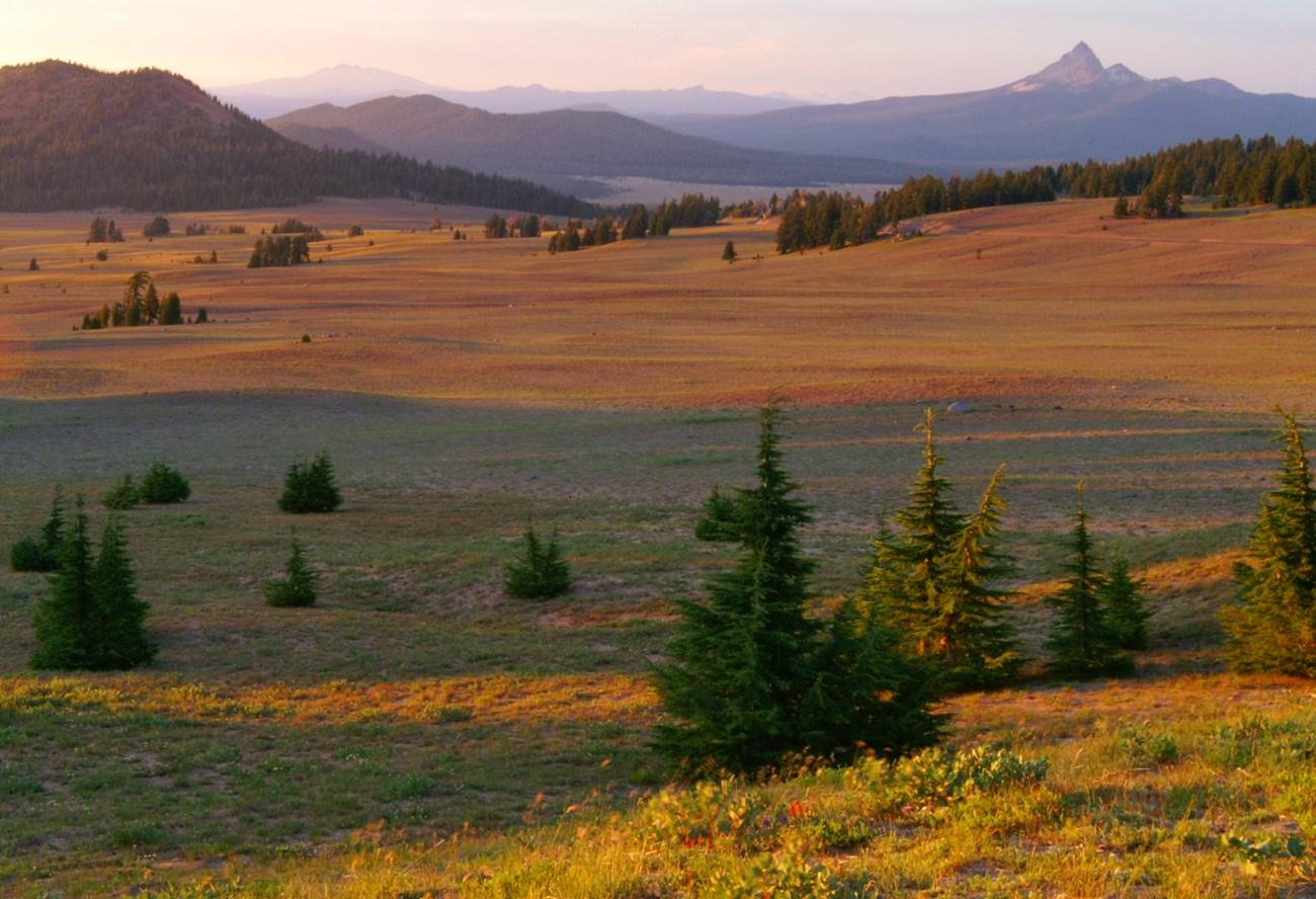 Eastern Oregon
Explore Eastern Oregon for fossil beds, mountain valleys, high-desert roads, historic towns, canyon country and wide-open landscapes shaped by geology and ranching.
-

-

-

-


Swipe for more regions
Explore more

Explore more of Oregon
Discover Oregon's diverse landscapes, vibrant cities, and rich culture. From stunning coastlines to lush forests, this Pacific Northwest gem offers endless adventures.
Explore Oregon