

Riverside, Cambridge Travel Guide
Linear waterside path along the River Cam offering flat walking and punting routes east of central Cambridge.
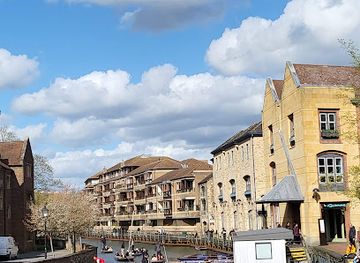
Riverside follows the River Cam through Cambridge, providing a continuous waterside path used for walking, cycling and traditional punting. The setting combines open green banks with occasional bridges and boathouses. Visitors experience a flat, linear route that remains largely open to the sky and changes character with the seasons and time of day.
A brief summary to Riverside
- Cambridge, GB
- Duration: 0.5 to 3 hours
- Free
-
 Outdoor
- Mobile reception: 4 out of 5

Know before you go
Hi, I'm Eve. Here are a few practical things to know before exploring Riverside.
- Path surfaces can turn muddy after rain; wear suitable footwear.
- Punting is available from several points along the route during daylight hours.
Do you manage this location?
Take control to get all the benefits, like improved information, better appearance, and stronger visibility across AI-powered discovery. Learn more about listing your business on Evendo
Activate your presenceOther nearby places you may find interesting
The closest places of the same kind, if this one is not quite what you had in mind.

Explore Riverside on the Map
A handpicked selection of must-see spots near Riverside, mapped for you.
Getting There
-
On foot
From central Cambridge, a ten-minute walk reaches the nearest access points along Jesus Green or Victoria Avenue.
-
By bicycle
Cycle paths connect directly to the riverside route from multiple directions within the city.
Discover more about Riverside
Setting and layout
The Riverside path runs along both banks of the River Cam on the eastern side of central Cambridge. The route is essentially flat and follows the water for several kilometres, passing meadows, college boathouses and occasional residential edges. Width varies from narrow towpath sections to wider shared paths that accommodate both pedestrians and cyclists.Typical visitor experience
Most people arrive on foot or by bicycle and move at a slow pace, either strolling the banks or hiring a punt. The water remains visible for almost the entire length, with reflections of trees and sky dominating the view. Noise levels stay low except near road bridges where traffic briefly intrudes.Seasonal character
In summer the banks become busier with punts and picnickers. Grass stays green and tree cover provides intermittent shade. Winter brings fewer people and stronger winds across open stretches, with bare trees allowing clearer views across the water. Flooding occasionally affects lower sections after heavy rain.Practical access points
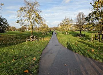
Entry is possible at several points including near Jesus Green and at the foot of Victoria Avenue. Surfaces are mostly compacted gravel or tarmac with some uneven patches. No significant elevation changes exist, though the path can become muddy after rain.Surroundings and scale
The area sits within a compact urban fringe rather than open countryside. College buildings appear at intervals on the opposite bank while the immediate foreground remains largely open grass and water. The overall length suitable for a relaxed visit is roughly two to three kilometres before the character shifts toward more built-up sections.












Your all‑in‑one travel companion app
Explore expert travel guides, compare and book tours, experiences, hotels, and more—all from the palm of your hand. Download now for seamless trip planning wherever your wanderlust takes you.


Explore More of Cambridge
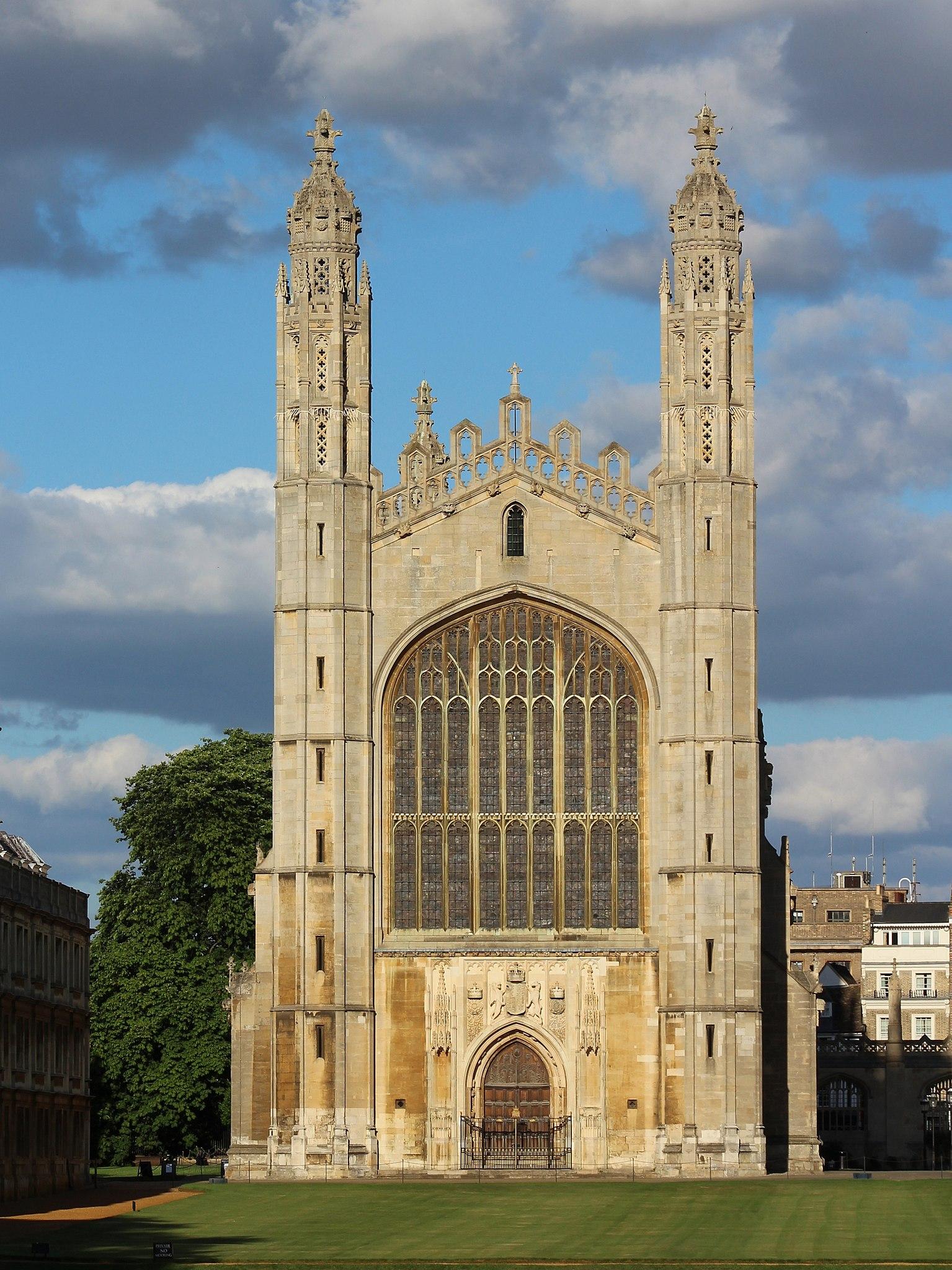
Looking beyond Riverside? Discover Cambridge for broader travel guides, local hot-spots, and regional highlights.
Explore Cambridge
A peaceful urban nature reserve in Cambridge offering diverse habitats, rich wildlife, and serene green space for all to enjoy.

Victorian sewage pumping station preserving working steam engines and Cambridge's industrial technology history beside the River Cam.
