
Bronze 3D Map of Glasgow City Centre
Explore Glasgow’s city centre through a unique, tactile bronze 3D map blending art, accessibility, and urban history at Buchanan Street.
The Bronze 3D Map of City Centre is a detailed topographical bronze relief sculpture located at the busy junction of Buchanan Street and St Vincent Street in Glasgow. Created by Scottish sculptor Kathleen Chambers in 1990 to celebrate Glasgow’s European City of Culture status, it offers a tactile, bird’s-eye view of the city centre including the River Clyde. Designed with accessibility in mind, it features braille and is wheelchair friendly, making it both an artistic landmark and a practical city guide.
A brief summary to Bronze 3D Map of City Centre
- Buchanan St, Glasgow, Glasgow, GB
- Duration: 0.25 to 1 hours
- Free
-
 Outdoor
- Mobile reception: 4 out of 5
- Monday 12 am-12 am
- Tuesday 12 am-12 am
- Wednesday 12 am-12 am
- Thursday 12 am-12 am
- Friday 12 am-12 am
- Saturday 12 am-12 am
- Sunday 12 am-12 am
Local tips
- Take time to touch and explore the map’s braille and raised street names to fully appreciate its accessibility design.
- Visit during daylight hours for the best visibility of the intricate details and green patina of the bronze.
- Combine your visit with a stroll along Buchanan Street to experience Glasgow’s vibrant shopping and cultural scene.
- Look for nearby landmarks such as the Glasgow Royal Concert Hall and the Gallery of Modern Art to enrich your cultural exploration.
For the on-the-go comforts that matter to you
- Seating Areas
- Information Boards
- Trash Bins
Getting There
-
Public Transport
Take the Glasgow Subway to Buchanan Street station, located within a 5-minute walk of the map. Subway trains run every 5-10 minutes, with tickets costing around £1.50-£2.50. The station is wheelchair accessible but can be busy during peak hours.
-
Bus
Several bus routes serve Buchanan Street from across Glasgow. Buses stop along Buchanan Street with frequent services every 10-15 minutes. A single fare typically costs £2-£3. Note that buses may be affected by city centre traffic during rush hours.
-
Walking
If staying nearby, walking to the Bronze 3D Map is ideal. The pedestrianised Buchanan Street offers smooth, flat granite paving suitable for wheelchairs and strollers. Walking times vary but allow 10-20 minutes from central Glasgow locations.
Bronze 3D Map of City Centre location weather suitability
-
 Any Weather
-
 Rain / Wet Weather
-
 Clear Skies
-
 Mild Temperatures
Discover more about Bronze 3D Map of City Centre
An Artistic Tribute to Glasgow’s Urban Landscape
The Bronze 3D Map of City Centre is a unique sculptural artwork crafted from bronze, depicting a detailed topographical relief of Glasgow’s city centre. Created by Kathleen Chambers, a graduate of the Glasgow School of Art, this map was installed in 1990 to commemorate Glasgow’s designation as the European City of Culture. The sculpture captures the layout of the streets, the River Clyde’s flow along the southern edge, and key landmarks in a simplified yet striking form. Its green patina adds a timeless aesthetic that blends art with urban geography.Designed for Touch and Accessibility
Unlike many public sculptures, this 3D map encourages tactile interaction. It was specifically designed with visually impaired visitors in mind, featuring street names in both braille and the Latin alphabet. The base of the map is wheelchair accessible, allowing all visitors to explore Glasgow’s cityscape by hand. This inclusive design enhances the map’s role as a practical tool for orientation as well as an engaging piece of public art.Location and Urban Context
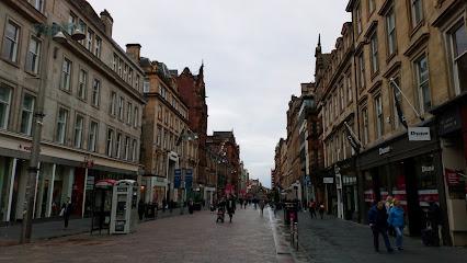
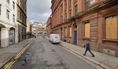
Situated at the intersection of Buchanan Street and St Vincent Street, the map occupies a prominent spot within Glasgow’s bustling city centre. Buchanan Street itself is a vibrant pedestrian shopping thoroughfare, renowned for its Victorian architecture, high-end stores, and lively atmosphere filled with street performers and shoppers. The map is often nestled near floral displays and is part of a cultural corridor that includes the Glasgow Royal Concert Hall and the Gallery of Modern Art nearby.Historical and Cultural Significance
The map not only serves as a city guide but also stands as a symbol of Glasgow’s cultural renaissance in the late 20th century. Its installation coincided with a period of urban regeneration and cultural investment, marking Glasgow’s emergence on the European cultural stage. The artist’s choice to create a tactile, accessible map reflects the city’s inclusive spirit and commitment to public engagement with art and history.Visitor Experience and Interaction
Visitors often find the map a delightful surprise amidst the commercial bustle of Buchanan Street. Its modest size invites close inspection and hands-on exploration, offering a sensory experience that contrasts with the fast pace of city life. While it does not provide exhaustive navigational detail, it offers a broad overview that helps orient visitors and locals alike. The map’s location amidst one of Glasgow’s busiest shopping streets makes it an accessible cultural stop during a day of urban exploration.Artistic Legacy and Related Works
Kathleen Chambers has created other similar 3D maps in Glasgow, notably one at the south entrance of Kelvingrove Museum in the West End. These works continue to celebrate Glasgow’s urban fabric and invite tactile engagement with the city’s geography. The Bronze 3D Map of City Centre remains a distinctive landmark that blends art, accessibility, and urban identity in a single, enduring piece.Iconic landmarks you can’t miss
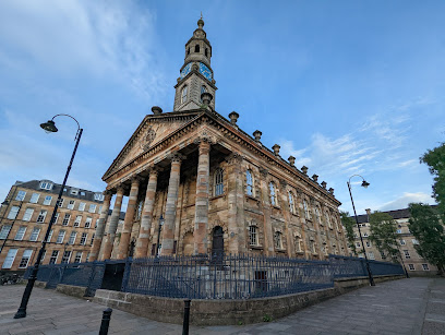
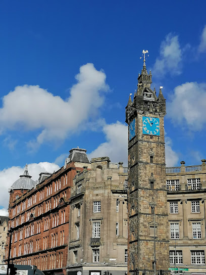
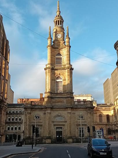
St George's Tron Church of Scotland
0.1 km
Historic Presbyterian church with iconic Baroque tower, rooted in Glasgow’s evangelical heritage and vibrant city centre life.
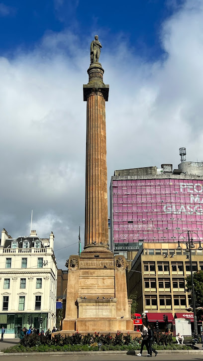
Walter Scott Monument
0.2 km
A towering Gothic tribute to Sir Walter Scott in Glasgow’s historic George Square, celebrating Scotland’s literary heritage.
Historic Walking Tours of Glasgow
0.3 km
Explore Glasgow's rich history with guided walking tours that reveal the city's hidden gems and captivating stories.
ToursByLocals - Glasgow
0.3 km
Discover Glasgow's rich culture and hidden gems through personalized tours with local experts at ToursByLocals.
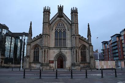
Metropolitan Cathedral of St Andrew
0.6 km
Historic Neo-Gothic cathedral and spiritual heart of Glasgow’s Catholic community since the early 19th century.
Merchant Square
0.6 km
Experience Glasgow's vibrant cultural scene at Merchant Square, a premier events venue combining great dining and lively entertainment.
Glasgow Police Museum
0.7 km
Explore the unique history of law enforcement at the Glasgow Police Museum, a must-see destination for history lovers and curious travelers alike.
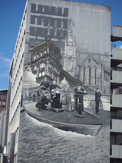
Strath Wonderwall Mural - Land Ship
0.7 km
Experience the vibrant Strath Wonderwall Mural in Glasgow, a stunning street art piece that reflects the city's creative spirit and cultural richness.
Glasgow City Heritage Trust
0.7 km
Explore Glasgow's rich history with the Glasgow City Heritage Trust, a non-profit dedicated to preserving the city's architectural and cultural heritage.
McLellan Galleries
0.8 km
Victorian art gallery turned creative workspace, preserving Glasgow's 19th-century cultural ambitions.
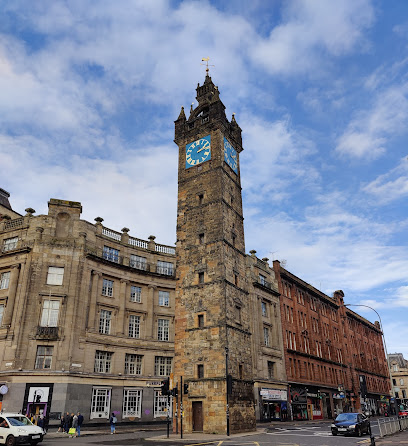
Tolbooth Steeple
0.8 km
Glasgow’s iconic 17th-century Tolbooth Steeple stands tall as a historic clock tower and enduring symbol of the city’s rich civic past.
The Glasgow School of Art
0.8 km
Mackintosh's revolutionary masterpiece where Scottish baronial tradition meets modernist vision.

St Andrew's in the Square - Glasgow
0.9 km
Experience the rich cultural heritage of Glasgow at St Andrew's in the Square, a historic venue for art, community events, and weddings.
Barrowland Park
1.0 km
Experience the charm of Barrowland Park, Glasgow's vibrant oasis featuring art, play areas, and a glimpse into the city's rich cultural heritage.
Box Hub
1.0 km
Discover Box Hub: Glasgow's dynamic events venue, where live music, celebrations, and vibrant nightlife come together in a unique atmosphere.
Unmissable attractions to see
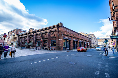
Buchanan St
0.0 km
Glasgow’s vibrant pedestrian shopping street blending historic charm, diverse retail, lively entertainment, and cultural landmarks.
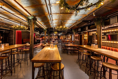
All Bar One Glasgow
0.1 km
Explore the vibrant atmosphere of All Bar One Glasgow, where wine lovers unite for exceptional drinks and delicious tapas in the heart of the city.
Nelson Mandela Pl
0.1 km
A vibrant Glasgow square honoring Nelson Mandela’s legacy and the city’s historic stand against apartheid.
The Social
0.1 km
Discover The Social, Glasgow's lively bar and grill, offering delicious food, live music, and a warm, inviting atmosphere in Royal Exchange Square.
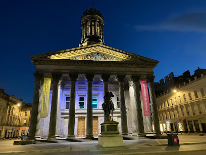
Gallery of Modern Art
0.1 km
Scotland’s premier modern art gallery in a grand neoclassical building, offering free entry to diverse contemporary artworks and vibrant cultural programs.
Merchants House of Glasgow
0.1 km
A historic Victorian venue in Glasgow’s city centre offering elegant event spaces and a charitable mission in the heart of George Square.
Royal Exchange Square
0.1 km
A majestic Victorian square in Glasgow featuring grand architecture, the Gallery of Modern Art, and the iconic Duke of Wellington statue.
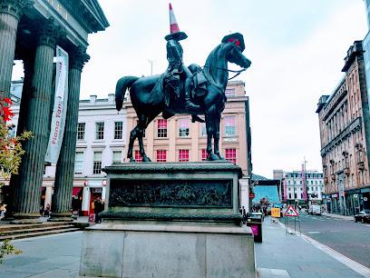
Equestrian statue of the Duke of Wellington, Glasgow
0.2 km
A historic Glasgow landmark where imperial legacy meets playful rebellion, crowned by its famous traffic cone hat.
The Lighthouse
0.2 km
Discover Glasgow’s iconic design centre with stunning Mackintosh architecture and panoramic city views from a historic spiral staircase.
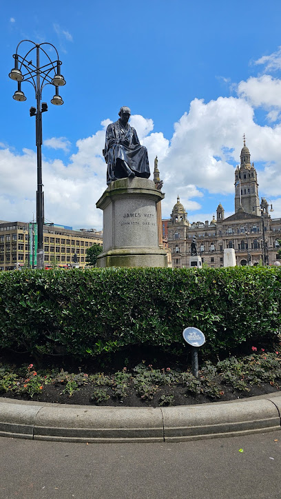
James Watt Statue
0.2 km
Discover the iconic James Watt Statue in Glasgow’s George Square, honoring the engineer who powered the Industrial Revolution with his steam engine innovation.
Good as Gold Street Art
0.2 km
A witty mural in Glasgow’s city center humorously capturing the soaring price of Freddo chocolates as a symbol of inflation.
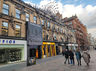
Princes Square Shopping Centre
0.2 km
A stunning blend of Victorian elegance, luxury shopping, and fine dining beneath Glasgow’s iconic glass roof.
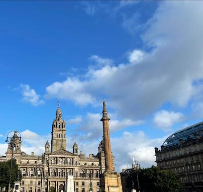
George Square
0.2 km
George Square – Glasgow’s iconic civic heart, where history, architecture, and vibrant public life converge in the city centre.
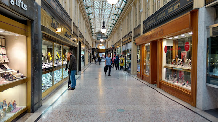
Argyll Arcade
0.2 km
Scotland's diamond epicenter: Victorian arcade brimming with luxury jewelry, watches, and bespoke sparkle in Glasgow's heart.
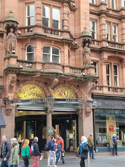
55 Argyll Arcade
0.2 km
Scotland’s oldest covered arcade, Argyll Arcade dazzles with historic charm and a premier collection of jewellers in Glasgow’s heart.
Essential places to dine
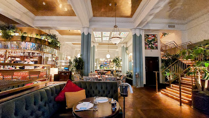
The Ivy Buchanan Street, Glasgow
0.1 km
Glamorous Glasgow brasserie with art deco charm, reliable British cooking, and cocktails in a converted bank.
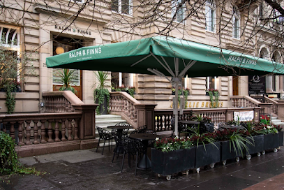
Ralph & Finns
0.1 km
Elegant modern Scottish dining and creative cocktails in a historic Glasgow Merchant City setting.
Glaschu Restaurant & Bar
0.1 km
Elegant modern Scottish dining in the heart of Glasgow’s historic Royal Exchange Square with a stylish atmosphere and locally inspired cuisine.
The Citizen Glasgow
0.1 km
Historic charm meets modern Scottish cuisine in a stylish city-center restaurant with a warm, lively atmosphere.
Las Iguanas - Glasgow
0.1 km
Experience the vibrant flavors and festive spirit of Latin America in the heart of Glasgow with bold dishes and irresistible cocktails.
The Anchor Line
0.1 km
Historic grill and cocktail bar in a 1906 Edwardian shipping company headquarters with nautical charm.
Windows Restaurant
0.1 km
Glasgow’s only rooftop restaurant offering modern European cuisine with panoramic city views atop the Carlton George Hotel.
La Vita
0.1 km
Authentic stone-baked Italian pizzas and classic dishes served in Glasgow’s vibrant city centre, open daily from early morning to late night.
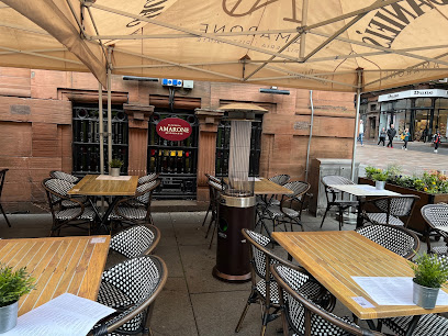
Amarone
0.1 km
Stylish Italian dining with open kitchens, vibrant flavors, and a lively atmosphere in Glasgow’s Merchant City.
Chaophraya
0.1 km
Elegant Thai dining in a grand Glasgow townhouse, known for its cocktails and dramatic interior.
Sugo Pasta
0.2 km
Fresh, handmade regional Italian pasta in a lively, modern Glasgow setting – no bookings, just great pasta and a buzzing atmosphere.
Alston Bar & Beef
0.3 km
Discover premium dry-aged Scottish steaks and an extensive gin bar beneath Glasgow Central Station’s historic arches.
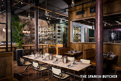
The Spanish Butcher Glasgow
0.3 km
Savor premium Galician beef and Spanish flavors in a chic, industrial-style steakhouse at Glasgow’s vibrant city centre.
Browns Glasgow
0.3 km
Historic charm meets contemporary British cuisine in the heart of Glasgow’s George Square at Browns Brasserie & Bar.
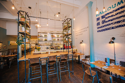
Halloumi Glasgow
0.3 km
Experience authentic Greek meze and lively vibes at Halloumi Glasgow, a vibrant Mediterranean gem in the city centre.
Markets, malls and hidden boutiques
The Shop Network
0.1 km
A diverse urban retail destination in Glasgow’s city centre offering gifts, accessories, clothing, and tech essentials all under one roof.
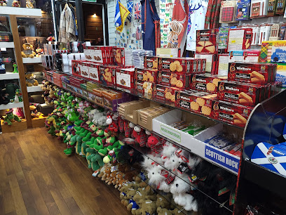
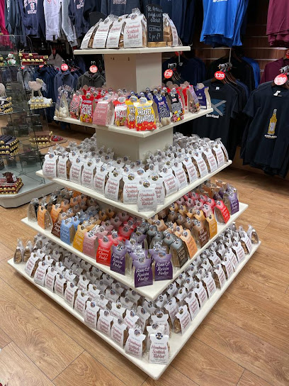
Wee scottish shop
0.1 km
Discover authentic Scottish gifts and handmade treats in the heart of Glasgow’s vibrant Buchanan Street.
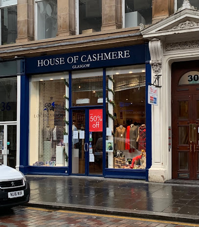
House Of Cashmere Glasgow
0.1 km
Discover authentic Scottish cashmere craftsmanship and timeless luxury in the heart of Glasgow’s vibrant city centre.
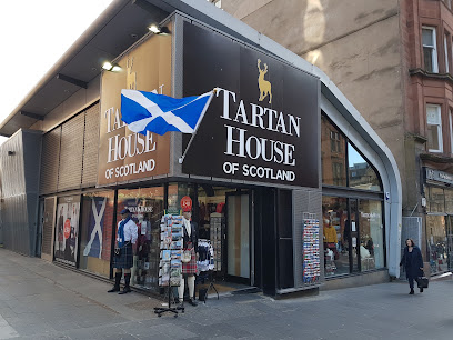
Tartan House of Scotland
0.2 km
Authentic Scottish tartans and souvenirs in the heart of Glasgow’s vibrant Buchanan Street shopping district.
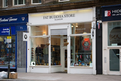
Fat Buddha Store
0.2 km
Glasgow's ultimate streetwear haven: premium menswear, spray paints, vinyl toys, and urban essentials across three vibrant floors since 2006.
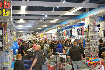
Geek-aboo
0.2 km
Dive into Glasgow's ultimate geek haven: official merch, epic collectibles, and gaming events from your favorite franchises await at Geek-aboo.
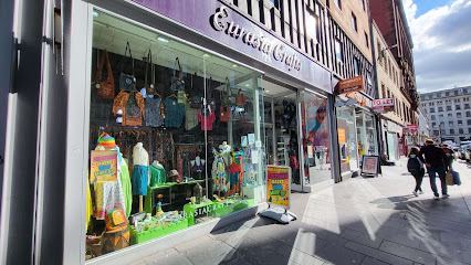
Eurasia Crafts
0.2 km
Discover handcrafted wonders from Eurasia in a cozy Glasgow gem—unique gifts, artisan stories, and cultural treasures await on elegant Queen Street.
Osiris - Alternative Fashion Store
0.2 km
A compact, characterful alternative-fashion and curios shop on Queen Street specialising in goth, emo and eclectic accessories.
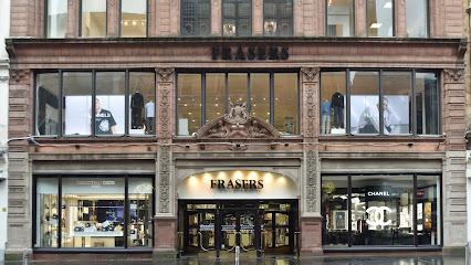
House of Fraser
0.3 km
Discover Glasgow’s historic House of Fraser on Buchanan Street, a vibrant hub for fashion, beauty, and homewares since 1849.
MAIA GIFTS
0.3 km
Discover Glasgow’s award-winning independent gift shop with unique, quirky, and handpicked treasures for every special occasion.
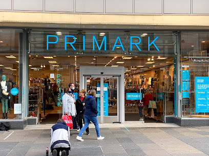
Primark
0.3 km
Vast budget fashion haven on Glasgow's Argyle Street: trendy clothes, beauty, home goods, and more in a wheelchair-accessible city-center mega-store.
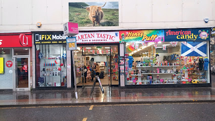
Tartan Tastic Gift & Souvenirs
0.3 km
Discover authentic Scottish tartan treasures and traditional gifts in the heart of Glasgow’s vibrant Queen Street.
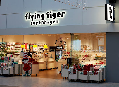
Flying Tiger Copenhagen
0.3 km
Discover colorful, affordable Scandinavian fun and creative essentials at Flying Tiger Copenhagen in Glasgow’s Buchanan Galleries.
Glasgow Gifts
0.3 km
Discover authentic Scottish souvenirs and unique gifts at Glasgow Gifts, nestled in the vibrant heart of Sauchiehall Street.
Taste of Scotland
0.3 km
Discover authentic Scottish gifts and rare whiskies in the heart of Glasgow at Taste of Scotland, your gateway to Scotland’s rich heritage.
Essential bars & hidden hideouts
Waxy O'Connor's Glasgow
0.1 km
Explore Glasgow’s largest Irish pub maze with live music, hearty food, and spirited sports in the heart of Merchant City.
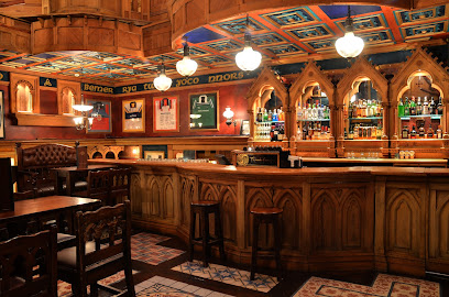
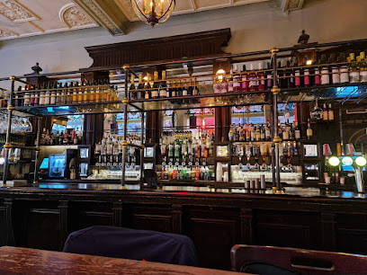
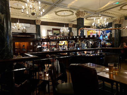
Horseshoe Bar Glasgow
0.2 km
Historic Victorian pub with Britain’s longest horseshoe-shaped bar, lively karaoke, live sports, and warm Glaswegian hospitality in the city centre.
TABAC
0.2 km
Retro Parisian cocktail bar on hidden Mitchell Lane, blending masterful mixes, street food bites, and lively vibes in Glasgow's heart.
Wunderbar
0.2 km
Lively Glasgow cocktail bar blending pizza, pub vibes, and live music in a vibrant city center setting.
Ross's Original Bar
0.2 km
Classic Glasgow pub with hearty food, lively karaoke nights, and a welcoming old-school atmosphere in the heart of the city.
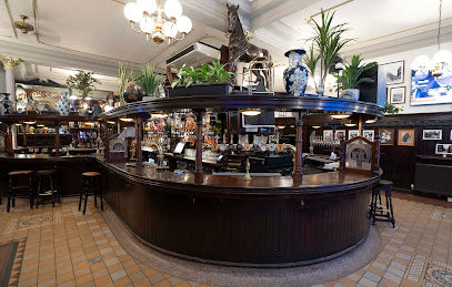
Drum & Monkey Glasgow
0.2 km
Traditional Glasgow gastropub in a historic bank building, famed for its ales, hearty pies, and welcoming city centre vibe.
Devil of Brooklyn
0.2 km
A chic speakeasy cocktail bar in Glasgow’s city centre, blending Italianate elegance with creative drinks and a warm, intimate vibe.
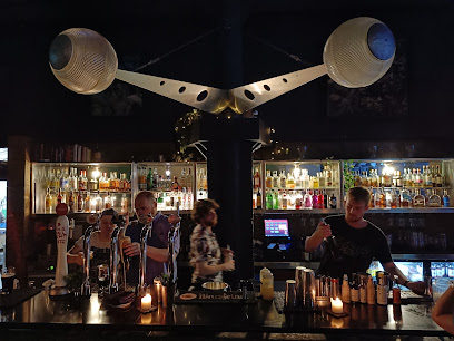
Missoula - Glasgow
0.2 km
A vibrant Glasgow cocktail bar blending expert drinks, live DJs, and an all-day menu in a lively city center setting.
Blue Dog
0.3 km
Glasgow's chic cocktail haven with live piano, masterful mixes, and cozy vibes for unforgettable nights out in the city center.
Gin71
0.3 km
Discover Glasgow’s elegant gin sanctuary with exotic vibes, expert cocktails, and a vibrant social atmosphere on Renfield Street.
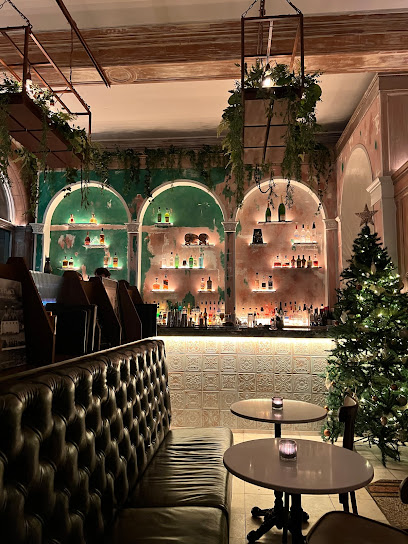
The Spiritualist Glasgow
0.3 km
Moody, theatrical cocktail bar and small-plate restaurant in central Glasgow — inventive drinks, shareable dishes and a lively evening atmosphere.
The Alchemist Glasgow
0.3 km
Experience Glasgow’s most theatrical cocktails and innovative dining in the heart of George Square’s mystical setting.
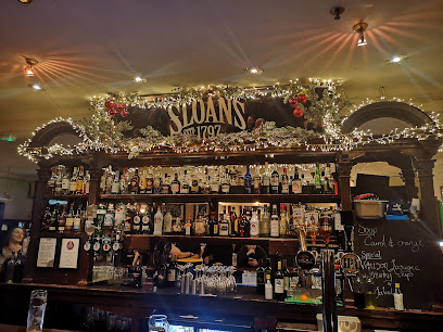
Sloans
0.3 km
Glasgow’s oldest bar and restaurant since 1797, famed for lively events, historic charm, and legendary Macaroni Cheese in a vibrant city-centre setting.
The Piper Whisky Bar
0.3 km
Glasgow's premier whisky haven with 200+ Scotches, live music nightly, and pub grub overlooking George Square – pure Scottish spirit in every sip.
Cairns Bar
0.4 km
Cozy Merchant City pub pouring Belhaven ales, serving pub classics, and screening live sports in Glasgow's lively heart—perfect for pints and pies anytime.
Nightclubs & after hour spots
Platinum Lace Glasgow
0.1 km
Glasgow’s premier gentlemen’s club with stunning dancers, VIP luxury, and an electric nightlife atmosphere in the city centre.
La Cheetah Club
0.2 km
Glasgow’s intimate basement club with a powerful sound system, vibrant underground beats, and a welcoming community spirit.

Club Tropicana & Venga
0.2 km
Two-room retro nightclub in central Glasgow with themed ’80s/’90s nights, booth bookings and a high-energy weekend atmosphere.
Popworld Glasgow
0.2 km
Dive into a whirlwind of 80s-00s pop anthems, retro props, and cocktail-fueled dance marathons at Glasgow's ultimate cheesy nightclub escape.
Kokomo Glasgow
0.3 km
Kokomo Glasgow was a late-night nightclub and bar known for its energetic vibe and central city location on West Regent Street.
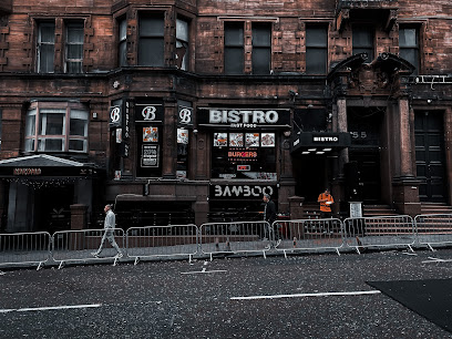
Bamboo
0.3 km
Glasgow’s energetic three-room basement nightclub offering affordable drinks and diverse music for a lively student crowd.
142B Lounge
0.3 km
Experience Glasgow’s vibrant Afrobeat and Amapiano hotspot with stylish vibes, great music, and authentic African flavors.
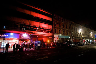
Cathouse Rock Club
0.3 km
Glasgow's unrelenting rock fortress since 1990—metal riffs, live gigs, and alternative fury across three pounding rooms.
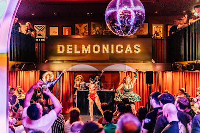
Delmonicas
0.3 km
Scotland's biggest gay club: drag shows, karaoke, DJs, and non-stop inclusive party vibes in Glasgow's Merchant City heart.
Club X
0.3 km
Glasgow's underground RnB haven: where beats throb, lights flash, and the LGBTQ+ community dances till dawn in Merchant City's beating heart.
Riding Room
0.4 km
Fancy cabaret club in Glasgow's gay triangle, serving exotic kettle cocktails alongside burlesque, magic, and cheeky shows in a lively, intimate venue.
Polo Lounge
0.4 km
Glasgow's grandest gay nightclub: multi-level dance floors, cheap drinks, and non-stop energy until dawn in Merchant City's heart.
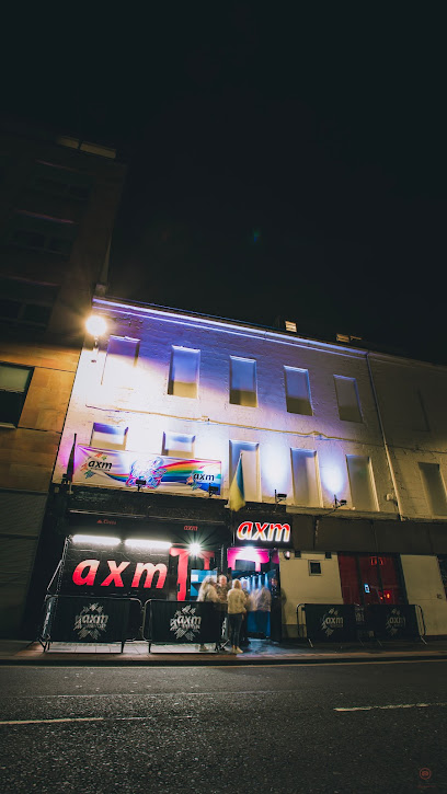
AXM Glasgow
0.4 km
Scotland's biggest LGBTQ+ nightclub: two floors of pop, charts, and dance in Glasgow's heart, with cheap drinks and zero attitude.
Classic Grand
0.4 km
Glasgow's ultimate electronic music haven in a reborn cinema, where thunderous beats and euphoric crowds collide until dawn.
Sub Club
0.4 km
Glasgow’s legendary underground nightclub, Sub Club, pulses with cutting-edge sound and authentic dance culture in an intimate basement setting.
For the vibe & atmosphere seeker
- Unique
- Scenic
- Tranquil
- Casual
For the design and aesthetic lover
- Vintage Styles
- Rustic Designs
For the architecture buff
- Historic
- Landmarks
For the view chaser and sunset hunter
- Iconic Views
For the social media creator & influencer
- Instagrammable
- Photo Spots
For the eco-conscious traveler
- Public-Transport Accessible
- Low Impact
For the kind of experience you’re after
- Cultural Heritage
- Photowalk
- Day Trip
For how adventurous you want the journey to be
- Easy Access
Location Audience
- Family Friendly
- Senior Friendly
- Child Friendly
- Teen Friendly
- Wheelchair Access
- Solo Friendly
- Couple Friendly
- Solo Female Friendly


