From Eve
Know before you go
Hi, I'm Eve. Here are a few practical things to know before exploring Capital Ring.
Local know-how to help you travel smarter and make the most of every moment.

Explore London’s diverse urban and green landscapes on the 78-mile Capital Ring circular walking route.
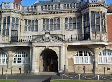
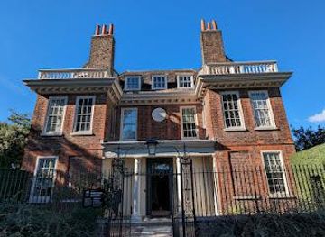
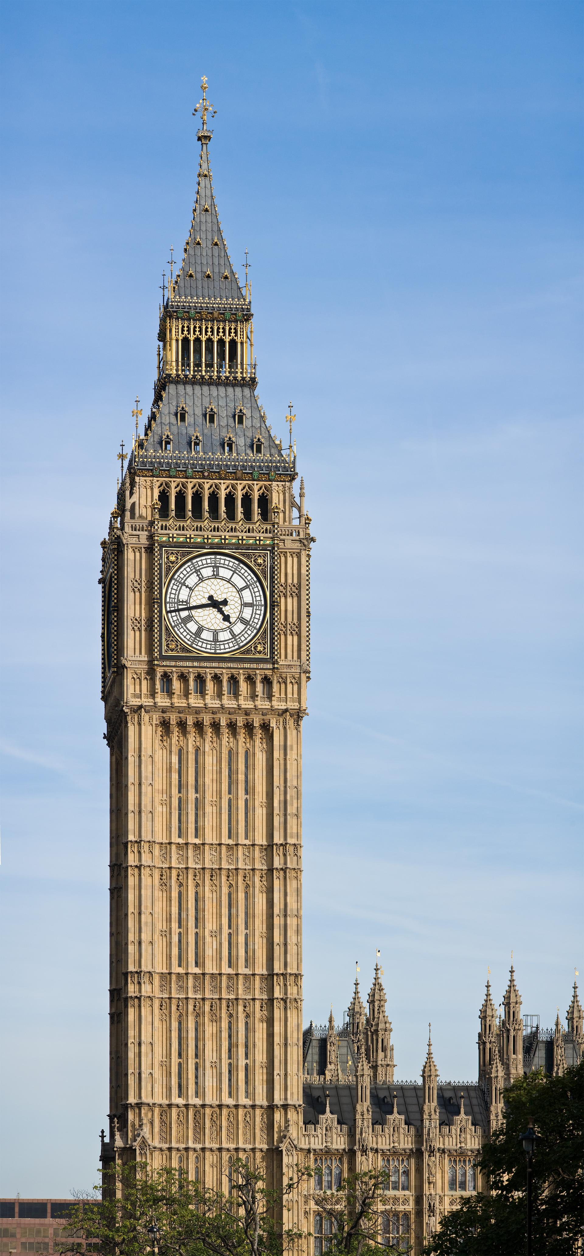
The Capital Ring is a 78-mile (126 km) circular walking route encircling London, weaving through a diverse mix of urban landscapes, historic sites, and green spaces. Divided into 15 well-marked sections, it offers walkers a unique way to explore London's parks, woodlands, waterways, and neighborhoods within 10 miles of central landmarks like Big Ben. From ancient forests and riverside paths to vibrant street art and urban regeneration zones, the Capital Ring reveals hidden facets of the city beyond the usual tourist trail.
Opening times, essentials, and a few local tips gathered into one calmer, easier-to-scan planning section.
Hi, I'm Eve. Here are a few practical things to know before exploring Capital Ring.
Local know-how to help you travel smarter and make the most of every moment.
Public Transport
The Capital Ring is accessible via London’s extensive public transport network. Each of the 15 sections starts and ends near Tube or rail stations such as Woolwich Arsenal, Richmond, Highgate, and Hackney Wick. Travel times from central London range from 20 to 60 minutes depending on the section, with Oyster and contactless payment accepted on all services. This makes it easy to walk individual sections or complete the entire route in stages.
Walking
Walking the Capital Ring itself is the primary mode of travel along the route. Sections vary from 4.4 to 13.6 kilometers, mostly on footpaths and park trails. Terrain is generally moderate but can be muddy or uneven outside summer months. Step-free alternatives are available on some sections for those requiring accessible routes.
Cycling
Cyclists can use parts of the Capital Ring, especially along canal towpaths and park trails, but should be aware that some sections include footpaths or narrow trails unsuitable for bikes. Bike hire and Santander Cycles are widely available in London, facilitating access to the route’s start and end points.
Catch the right light and the right mood, whether you want a bright city moment or a more cinematic evening visit.


Use Tower Bridge as your starting point for nearby food, family ideas, nightlife, and more local discoveries.
A quick look at seasonal patterns and peak visiting hours.

Explore expert travel guides, compare and book tours, experiences, hotels, and more—all from the palm of your hand. Download now for seamless trip planning wherever your wanderlust takes you.
Explore London: A city of iconic landmarks, rich history, vibrant culture, and endless attractions that cater to every taste, making it a must-visit destination.
Tell me more about London