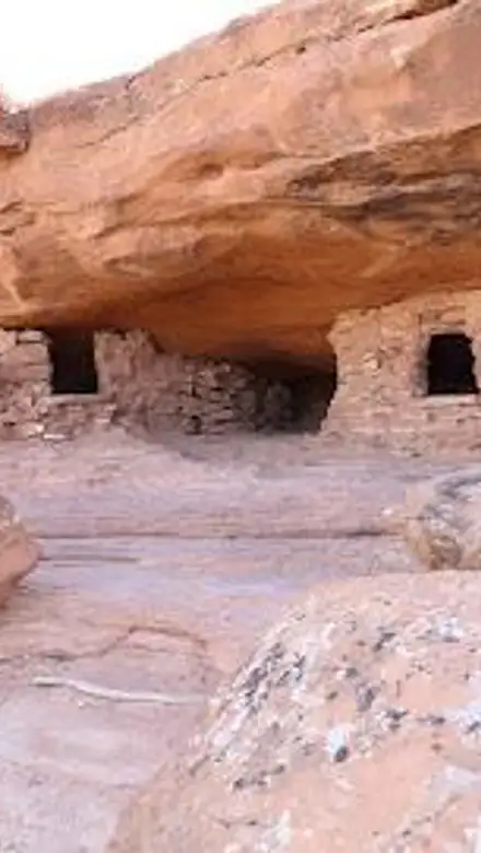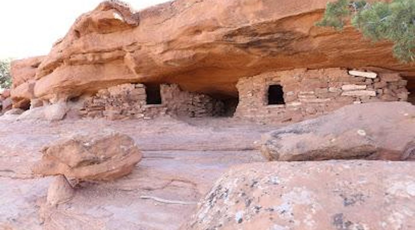
Aztec Butte, Canyonlands Travel Guide
Discover the breathtaking views and rich history of Aztec Butte, a stunning mountain peak in Utah perfect for hiking and exploration.
Nestled in the picturesque landscapes of Utah, Aztec Butte offers a stunning hiking experience with breathtaking views, rich history, and unique geological features that attract adventurers and nature lovers alike. With its prominent peak standing tall, visitors are rewarded with panoramic vistas of the surrounding area, making it a must-visit destination for tourists seeking both adventure and beauty.
A brief summary to Aztec Butte
- Utah, US

Know before you go
Hi, I'm Eve. Here are a few practical things to know before exploring Aztec Butte.
- Visit early in the morning or later in the afternoon to avoid the heat and enjoy cooler temperatures.
- Bring plenty of water and snacks, as there are limited facilities on the trail.
- Wear sturdy hiking shoes to navigate the rocky terrain safely.
- Don't forget your camera to capture the stunning views from the top!
- Check the weather forecast before your visit, as conditions can change rapidly in mountainous areas.
Do you manage this location?
Take control to get all the benefits, like improved information, better appearance, and stronger visibility across AI-powered discovery. Learn more about listing your business on Evendo
Activate your presenceOther nearby places you may find interesting
The closest places of the same kind, if this one is not quite what you had in mind.
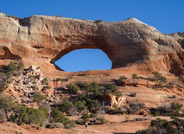
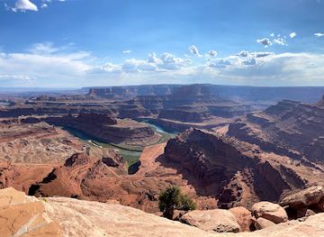
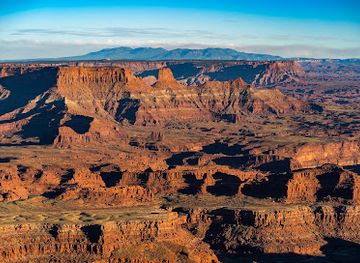
Explore Aztec Butte on the Map
A handpicked selection of must-see spots near Aztec Butte, mapped for you.
Unlock the Best of Aztec Butte
Buy tickets
-
No tickets available
Book tours with entry


Getting There
-
Walking
From downtown Moab, head east on Main Street until you reach the intersection with Highway 191. Turn left onto Highway 191 and continue walking for about 2.5 miles. Look for the signs for the La Sal Mountains. You will see a parking area near the trailhead for Aztec Butte. The hike to Aztec Butte starts here, and the trail is well marked. Follow the trail, which is approximately 1.5 miles long. The trail can be steep in some areas, so wear comfortable shoes and bring plenty of water.
-
Biking
If you have access to a bike, you can ride from downtown Moab. Start by heading south on Main Street and then take a right onto Mill Creek Drive. Continue until you reach Highway 191. Turn right onto Highway 191 and bike for about 2.5 miles. Look for the parking area for Aztec Butte on your right. Park your bike here, and follow the marked trail up to the peak. The trail is approximately 1.5 miles long and may have steep sections, so ensure you are prepared for the hike.
-
Public Transport
Unfortunately, public transportation options directly to Aztec Butte are limited. However, you can take a local shuttle service, if available, from downtown Moab towards the La Sal Mountains area. Confirm the schedule and drop-off points with the shuttle service. Once dropped off, follow the signs to the Aztec Butte trailhead, which is nearby. The trail is roughly 1.5 miles long and leads you to the peak.
Discover more about Aztec Butte













Your all‑in‑one travel companion app
Explore expert travel guides, compare and book tours, experiences, hotels, and more—all from the palm of your hand. Download now for seamless trip planning wherever your wanderlust takes you.


Explore More of Canyonlands
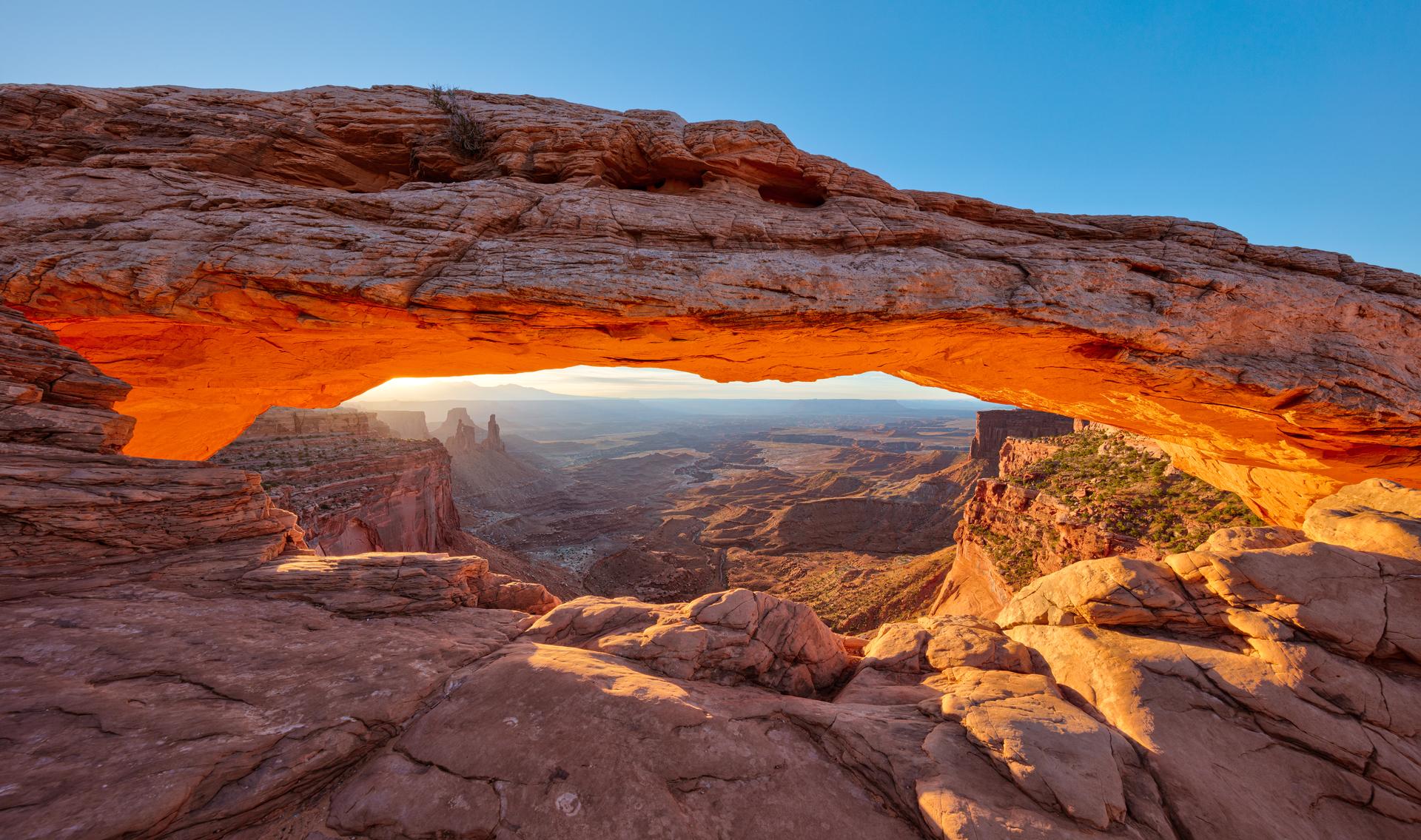
Looking beyond Aztec Butte? Discover Canyonlands for broader travel guides, local hot-spots, and regional highlights.
Explore Canyonlands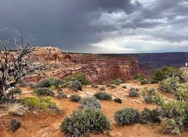
Discover the stunning vistas and exhilarating trails at Shafer Canyon Overlook in Utah, a paradise for nature lovers and photography enthusiasts.
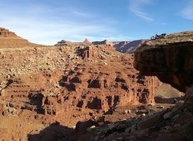
Explore the breathtaking landscapes and adventure-filled experiences along the iconic White Rim Road in Utah's Canyonlands National Park.