
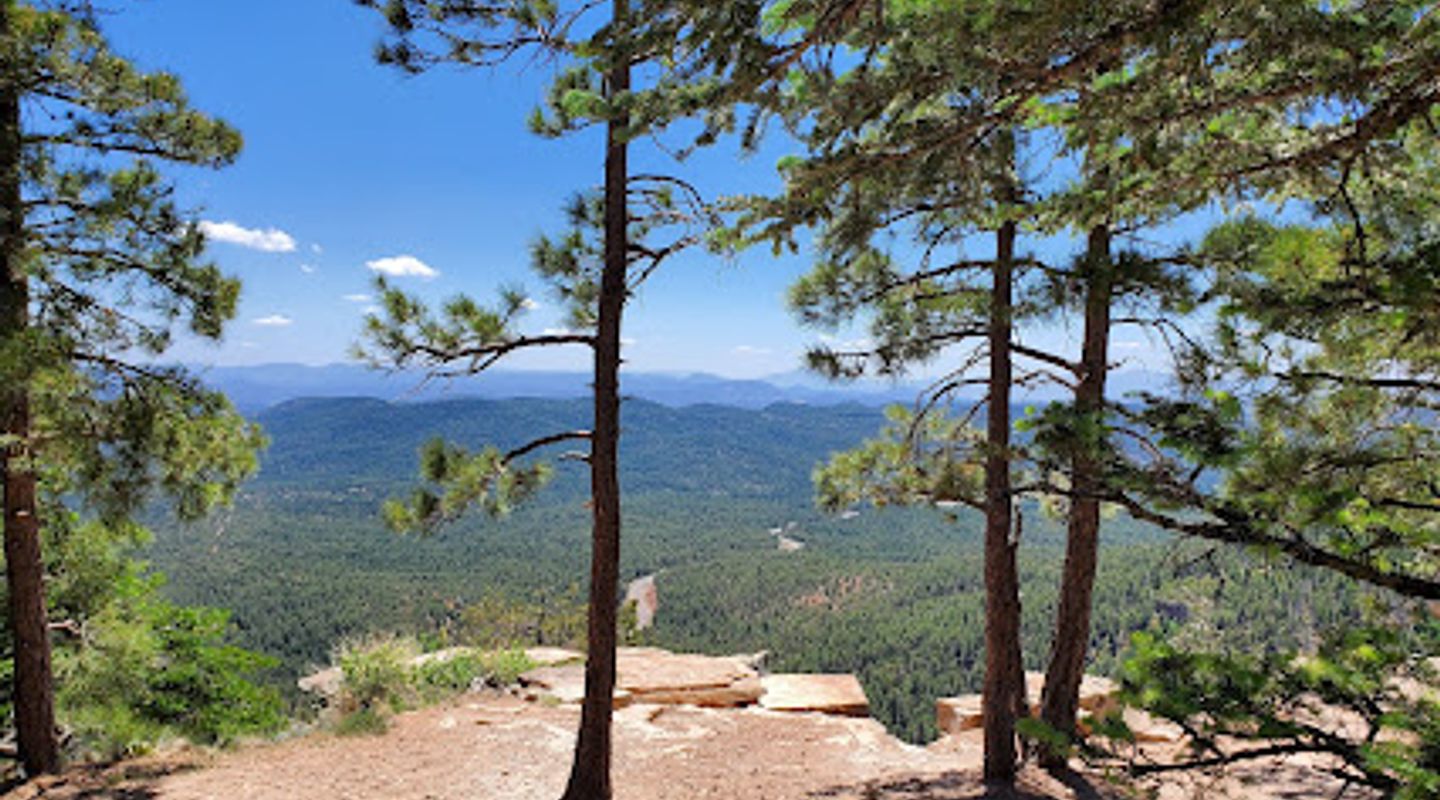
Mallard Trailhead, Mogollon Rim Travel Guide
Discover breathtaking trails and stargazing at Mallard Trailhead in Payson, Arizona - a paradise for hikers and nature lovers.
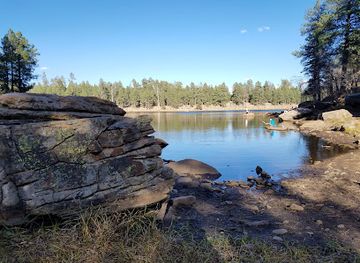
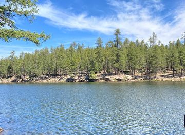
Nestled in the heart of Payson, Arizona, Mallard Trailhead offers a beautiful gateway to nature with stunning hiking trails, picturesque landscapes, and serene lake views. Ideal for outdoor enthusiasts, this location is perfect for hiking, stargazing, and experiencing the tranquility of the great outdoors.
A brief summary to Mallard Trailhead
- Payson, Arizona, 85541, US
- Click to display

Know before you go
Hi, I'm Eve. Here are a few practical things to know before exploring Mallard Trailhead.
- Bring plenty of water and snacks, as there are no facilities along the trails.
- Dress in layers to prepare for changing temperatures throughout the day.
- Start early in the morning to enjoy cooler temperatures and avoid crowds.
- Don't forget your camera; the views are stunning and worth capturing!
- Check local weather conditions before heading out, as storms can roll in quickly.
Do you manage this location?
Take control to get all the benefits, like improved information, better appearance, and stronger visibility across AI-powered discovery. Learn more about listing your business on Evendo
Activate your presenceOther nearby places you may find interesting
The closest places of the same kind, if this one is not quite what you had in mind.
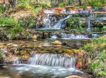
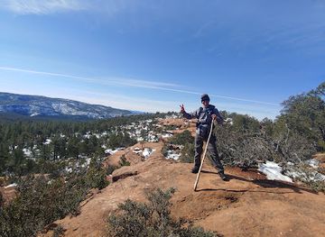
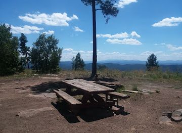
Explore Mallard Trailhead on the Map
A handpicked selection of must-see spots near Mallard Trailhead, mapped for you.
Getting There
-
Car
If you are driving from the center of Payson, AZ, head east on AZ-260 E. Continue on AZ-260 E for approximately 22 miles until you reach the intersection with Forest Road 300 (FR 300). Turn left onto FR 300 and follow it for about 10 miles. Look for signs for Mallard Trailhead. The trailhead will be on your right. Be aware that FR 300 can be bumpy and may require a high clearance vehicle, especially after rains.
-
Public Transportation
Public transportation options to Mallard Trailhead are limited. The nearest public transport you can access is in Payson. From there, you can take a local shuttle service that operates during peak tourism seasons, but you will need to check their current schedule as it may vary. Once you arrive at the closest drop-off point near the Mogollon Rim, you may need to walk approximately 2-3 miles along Forest Roads to reach Mallard Trailhead. Alternatively, consider using a rideshare service if available.
-
Bicycle
For those who enjoy cycling, you can bike from Payson. Start on AZ-260 E for about 22 miles, then turn onto FR 300. Please note that this route is primarily on paved roads, but the final stretch on FR 300 may be rugged. It is advisable to wear a helmet and ensure your bike is equipped for off-road conditions. Bring plenty of water and be cautious of traffic.
Discover more about Mallard Trailhead













Your all‑in‑one travel companion app
Explore expert travel guides, compare and book tours, experiences, hotels, and more—all from the palm of your hand. Download now for seamless trip planning wherever your wanderlust takes you.


Explore More of Mogollon Rim
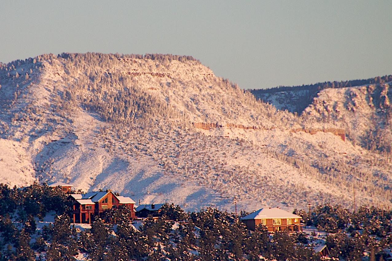
Looking beyond Mallard Trailhead? Discover Mogollon Rim for broader travel guides, local hot-spots, and regional highlights.
Explore Mogollon Rim
Discover the breathtaking views and serene atmosphere of Baker Butte Lookout, a scenic treasure in Payson, Arizona, perfect for nature lovers and adventurers.
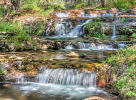
Experience the tranquility and beauty of Horton Springs, a premier hiking destination in Payson, Arizona, perfect for nature lovers and adventurers.
