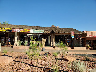
Prescott Circle Trail: A Scenic Loop Around History
Discover Prescott's beauty on this 54-mile loop: hike, bike, or ride through diverse landscapes, historical landmarks, and stunning views.
The Prescott Circle Trail is a 54-mile non-motorized loop encircling Prescott, Arizona, offering hikers, bikers, and equestrians a diverse landscape of forests, lakes, and granite dells. Completed in 2014, it connects Prescott National Forest, city lands, and state land, showcasing the area's natural beauty and historical landmarks.
A brief summary to Prescott Circle Trail
- Arizona, US
Local tips
- Bring plenty of water, especially during the warmer months, as some sections of the trail lack water sources.
- Check the City of Prescott website for events at Watson Lake, as they may affect access to the trail and camping areas.
- Obtain a Prescott trail map from local bike shops or download it to your phone for easy navigation.
- Be aware of shared trail etiquette, as the trail is used by hikers, bikers, and equestrians.
- Consider breaking the trail into segments to complete over multiple days, weeks, or months.
Getting There
-
Walking
The Prescott Circle Trail is accessible from multiple points around the city. From downtown Prescott, several trailheads are within a few miles. Use the City of Prescott Trails and Outdoor Recreation Map to locate the nearest access point. From the Courthouse Plaza, follow Iron Springs Road or Gurley Street east, then connect to the Peavine Trail or Willow Creek Trail. These routes will lead you to the Circle Trail. Parking fees may apply at some trailheads, typically around $3.
-
Public Transport
Yavapai Regional Transit (YRT) offers limited bus service within Prescott. Check the YRT schedule for routes and stops near the Prescott Circle Trail. From the main transfer station, you may need to walk or bike a few miles to reach a trailhead. A single ride fare is approximately $2.00. Note that bus service may not be available on weekends or holidays.
-
Taxi/Ride-share
Taxi and ride-sharing services like Uber and Lyft are available in Prescott. From downtown, a ride to a trailhead such as Watson Lake or Willow Lake will cost approximately $10-$20, depending on distance and demand. Be sure to confirm the fare before you start your trip. This is a convenient option for reaching the trail without parking concerns.
Discover more about Prescott Circle Trail
Iconic landmarks you can’t miss
Petroglyph Point
4.5 km
Explore ancient rock art and Prescott's cultural heritage at Petroglyph Point, a historical landmark with stunning views and intricate carvings.
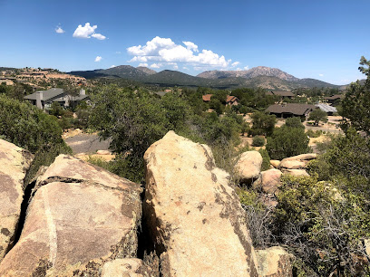
Experience Prescott Arizona
5.8 km
Explore Prescott, Arizona: A charming blend of history, art, and outdoor adventures in the heart of the American West.

Prescott Frontier Days, Inc. - World's Oldest Rodeo
6.1 km
Experience the thrill of the 'World's Oldest Rodeo' in Prescott, AZ, a historic celebration of Western sports and culture since 1888.
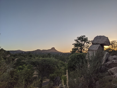
Yavapai-Prescott Indian Tribe
6.6 km
Explore the Yavapai-Prescott Indian Tribe's rich history, culture, and economic contributions in the heart of Prescott, Arizona.
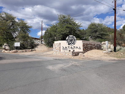
Founding Fathers Collective
7.3 km
Experience Prescott's vibrant community hub: a unique blend of bar, coffee shop, food court, and barbershop in the heart of downtown.

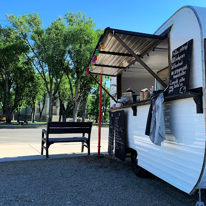
Camp Grounds Tea and Coffee
7.4 km
Experience Prescott's charm with organic coffee & tea served from a vintage camper. A community hub where every cup creates connection.
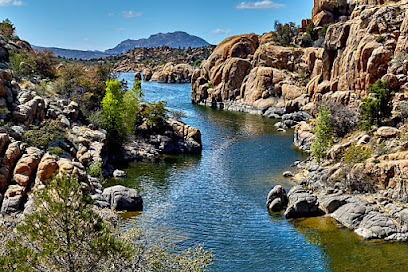
Prescott Historical Society
7.4 km
Explore Arizona's captivating history at the Sharlot Hall Museum in Prescott. Discover historic buildings, exhibits, and unique stories of the past.
Peregrine Book Company
7.4 km
Prescott's largest independent bookstore, offering new & used books, author events, local gifts, and a haven for curious minds.

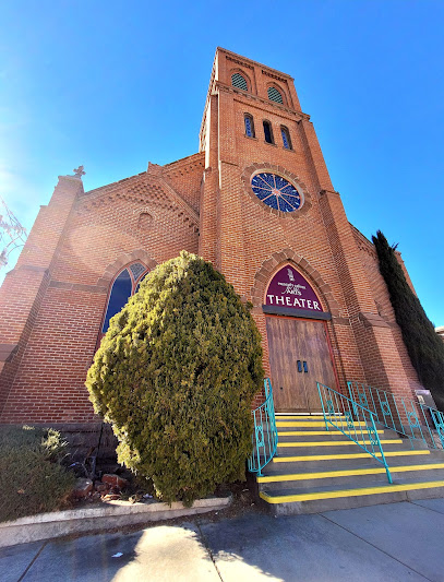
Prescott Center for the Arts
7.5 km
Experience Prescott's vibrant arts scene at this historic theater, offering diverse performances and art exhibitions for all ages.
Whiskey Row Alley
7.6 km
Experience the charm of the Old West in Prescott's Whiskey Row Alley, a historic destination with saloons, shops, and entertainment.

Bashford Courts
7.6 km
Explore unique boutiques and art in a historic atrium mall, located in downtown Prescott's iconic Bashford-Burmister building.
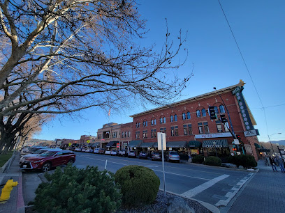
Hotel St. Michael
7.6 km
Experience Prescott's history at Hotel St. Michael, a landmark hotel on Whiskey Row offering Victorian charm and modern comforts.

Manifested Art
7.6 km
Explore Manifested Art in Prescott, AZ, where unique rocks, rare fossils, and captivating minerals await every geology enthusiast and casual visitor.

The Burmister Building
7.6 km
Discover local crafts and unique finds at The Burmister Building, a historic shopping mall in the heart of downtown Prescott, Arizona.

Superstition Meadery
7.6 km
Experience award-winning meads and ciders in a historic downtown setting. Superstition Meadery: A taste of Arizona's craft beverage culture.

Unmissable attractions to see
Community Nature Center
3.2 km
Explore the natural beauty and tranquility of the Community Nature Center in Prescott, Arizona, a perfect destination for nature lovers and families.
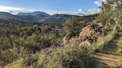
Iron Springs Trailhead
3.4 km
Discover the breathtaking trails and natural beauty of Iron Springs Trailhead in Prescott, Arizona, a perfect hiking destination for nature lovers.
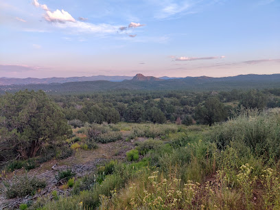
Granite Basin Recreation Area
3.4 km
Discover the breathtaking landscapes and outdoor adventures at Granite Basin Recreation Area in Prescott, Arizona - a must-visit destination for nature enthusiasts.
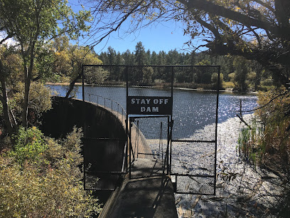
Alto Pit OHV
3.9 km
Explore the thrilling trails and breathtaking landscapes of Alto Pit OHV, a premier destination for off-road adventures in Prescott, Arizona.
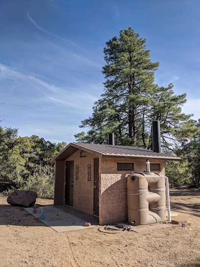
Granite Mountain Trail #261
4.3 km
Discover the stunning Granite Mountain Trail #261, a premier hiking destination in Prescott, Arizona, offering breathtaking views and diverse wildlife.
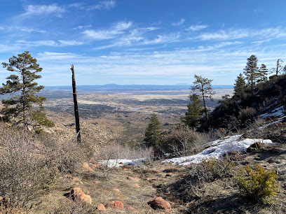
Thumb Butte Recreation Area
5.1 km
Explore Thumb Butte Recreation Area: A Hidden Gem in Prescott, AZ for Hiking, Scenic Views, and Outdoor Adventure.
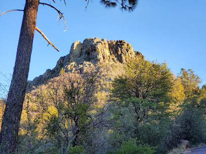
Pioneer Park
5.2 km
Discover the charm of Pioneer Park in Prescott, AZ, where nature, adventure, and family fun come together in a stunning outdoor setting.
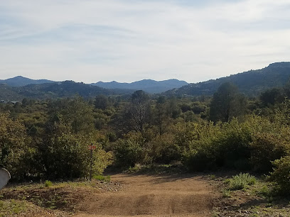
Little Granite Mountain TR37 Trailhead
5.3 km
Explore the breathtaking trails and scenic vistas of Little Granite Mountain TR37 Trailhead, a paradise for hiking enthusiasts in Prescott, Arizona.
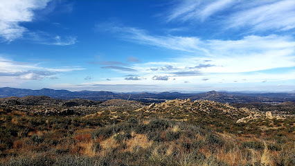
Thumb Butte
5.7 km
Experience the breathtaking vistas and tranquil hiking trails at Thumb Butte in Prescott, Arizona, a must-visit for outdoor enthusiasts and nature lovers.
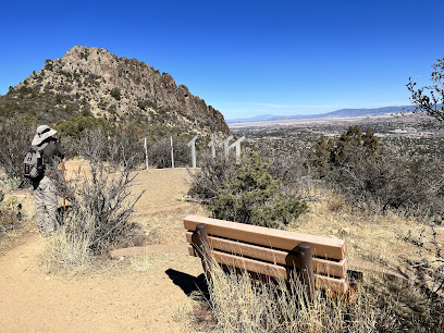
Granite Mountain
5.7 km
Explore the breathtaking trails and stunning views of Granite Mountain in Prescott, Arizona, a must-visit hiking destination for outdoor enthusiasts.
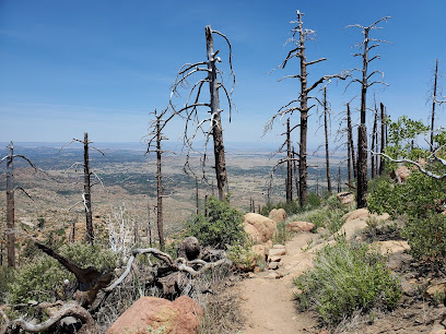
Falcon’s Nest
5.9 km
Explore the breathtaking views and unique architecture of Falcon's Nest, a must-see tourist attraction in Prescott, Arizona.
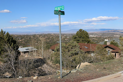
Flinn Park
6.2 km
Experience the natural beauty of Prescott at Flinn Park, a serene escape for outdoor enthusiasts and families alike.
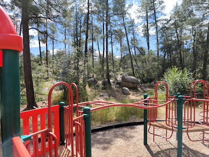
Granite Mountain Wilderness
6.3 km
Discover Granite Mountain Wilderness in Prescott, AZ – a stunning nature preserve perfect for hiking, wildlife watching, and embracing the great outdoors.
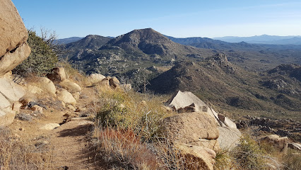
Williamson Valley Trailhead
6.7 km
Discover the stunning landscapes and diverse hiking trails at Williamson Valley Trailhead in Prescott, Arizona, a paradise for outdoor enthusiasts.
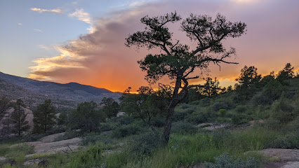
Butte Creek Trail
6.8 km
Experience the breathtaking beauty of Butte Creek Trail in Prescott, Arizona, where nature's tranquility meets the thrill of adventure.
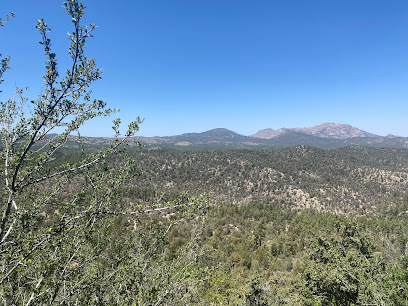
Essential places to dine
Dry Gulch Steakhouse
3.9 km
Experience authentic American steakhouse cuisine at Dry Gulch Steakhouse in Prescott – where flavor meets rustic charm.

LaBruzza's Italian Ristorante
3.9 km
Experience authentic Italian cuisine at LaBruzza's in Prescott—where every dish tells a story.

Waffles-N-More
4.5 km
Discover delicious breakfast at Waffles-N-More in Prescott—where every bite is a taste of happiness!

Unsui Japanese Restaurant
4.6 km
Experience authentic Japanese cuisine at Unsui Restaurant in Prescott; enjoy fresh sushi and traditional dishes in a cozy atmosphere.

Torme
5.8 km
Discover the exquisite flavors of Torme in Prescott - where culinary creativity meets warm hospitality.
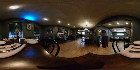
BiGA.
6.1 km
Discover BiGA in Prescott: A unique American restaurant serving fresh, local ingredients in a warm and inviting atmosphere.

Casa Sanchez Restaurant
6.4 km
Experience authentic Mexican cuisine at Casa Sanchez Restaurant in Prescott - where flavor meets tradition in every dish.

Salt & Pepper Cafe
6.6 km
Experience hearty American comfort food at Salt & Pepper Cafe in Prescott, AZ – where every bite feels like home.

The Local Prescott
7.0 km
Experience delightful breakfasts and brunches at The Local Prescott – where delicious meets diverse dietary needs in a cozy café setting.

Triple Creek Kitchen and Spirits
7.3 km
Experience exceptional dining at Triple Creek Kitchen and Spirits in Prescott, Arizona – where local flavors meet warm hospitality.

That Apple Pan
7.3 km
Discover authentic American flavors at That Apple Pan in Prescott, Arizona - where every meal feels like home.

Uncle Bud's Place
7.3 km
Experience authentic Cajun cuisine at Uncle Bud's Place in Prescott, Arizona - where every bite tells a flavorful story.

Farm Provisions
7.4 km
Discover the farm-to-table delights at Farm Provisions in Prescott – where fresh meets flavorful in every bite!

Two Mamas' Gourmet Pizzeria
7.4 km
Discover the authentic taste of Italy at Two Mamas' Gourmet Pizzeria in Prescott - where every slice tells a story.

Rosa's Pizzeria (Prescott)
7.4 km
Experience authentic Italian flavors at Rosa's Pizzeria in Prescott—where every pizza is crafted with love and quality ingredients.

Markets, malls and hidden boutiques
Iron Springs - Goodwill - Retail Store and Donation Center
4.5 km
Explore the eclectic treasures of Iron Springs - Goodwill, a thrift store in Prescott, AZ, where every purchase supports community initiatives.

Village at the Boulders
4.6 km
Explore the Village at the Boulders, Prescott's vibrant shopping mall featuring unique stores, dining options, and stunning landscapes.

Big 5 Sporting Goods
4.6 km
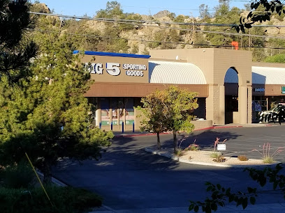
Explore the great outdoors with top-quality gear and apparel at Big 5 Sporting Goods in Prescott, a haven for adventure enthusiasts.
SugarPine Home Furnishings and Lifestyle Boutique
4.7 km
Explore SugarPine Home Furnishings and Lifestyle Boutique in Prescott, AZ for unique home goods that blend style and comfort with local charm.

The Lookout & Hallmark - Formerly Jay's Bird Barn
4.7 km
Explore unique gifts and bird watching experiences at The Lookout & Hallmark in Prescott, Arizona – a must-visit for nature lovers and gift shoppers.

C-A-L Ranch Stores
5.0 km
Discover the ultimate outdoor shopping experience at C-A-L Ranch Stores in Prescott, Arizona, your go-to destination for camping gear, pet supplies, and western apparel.

Willow Lake - Goodwill - Retail Store and Donation Center
5.5 km
Uncover hidden treasures and support your community at Willow Lake Thrift Store in Prescott, Arizona, a unique shopping experience for all.

Imperfectly Unbroken
6.4 km
Explore Imperfectly Unbroken in Prescott, AZ - a vintage wonderland of antiques, collectibles, and unique art pieces waiting to be discovered.

Sprouts Farmers Market
7.3 km
Explore Sprouts Farmers Market in Prescott, AZ for fresh, organic produce and a variety of health food options that cater to every dietary need.

Fallon’s Down Home Vintage Prescott
7.4 km
Explore a treasure trove of vintage goods and local crafts at Fallon’s Down Home Vintage Prescott – a boutique full of character and charm.

Toyful
7.5 km
Explore Toyful in Prescott, AZ - a delightful gift and toy shop offering unique finds for all ages, where joy and nostalgia meet.

The Vintage Shop - Uncle Al's Thriftique
7.5 km
Explore the charm of vintage shopping at Uncle Al's Thriftique, where every find tells a story in Prescott, Arizona.

The Honeyman
7.5 km
Discover the sweetness of Arizona at The Honeyman, Prescott's premier natural goods store, featuring unique honeys and gourmet delicacies.

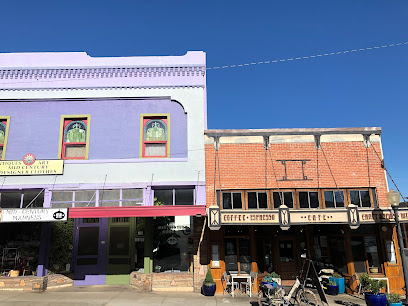
Mid-Century Madness
7.5 km
Explore a unique selection of mid-century antiques and collectibles in Prescott, Arizona's charming Mid-Century Madness antique store.
Lost In Sports Antiques Off Square
7.5 km
Discover unique vintage finds and sports memorabilia amidst the charm of Prescott, Arizona's Lost In Sports Antiques Off Square.

Essential bars & hidden hideouts
Mark’s Beer Garden
4.2 km
Discover the vibrant atmosphere of Mark’s Beer Garden in Prescott, offering a fantastic selection of craft beers and delicious food in a stunning outdoor setting.

The Windsock Lounge
4.6 km
Experience the vibrant energy of The Windsock Lounge in Prescott, where delicious food meets exciting sports and cocktails in a lively atmosphere.

The Final Score
5.6 km
Experience the ultimate sports atmosphere at The Final Score, Prescott's favorite bar and grill, where delicious food meets thrilling games.

Prescott Night Out
6.7 km
Discover Prescott Night Out, a lively venue combining live music, delicious dining, and a dance club experience in the heart of Arizona.
Pudge and Asti's Sports Grill
6.8 km
Experience Prescott's vibrant atmosphere at Pudge and Asti's Sports Grill, where local flavors meet a lively sports bar ambiance.

Sam's Bar
7.3 km
Discover the vibrant atmosphere and extensive drink selection at Sam's Bar, a beloved Prescott destination for locals and tourists alike.
JJ's Smiles On Tap
7.5 km
Experience the essence of Prescott at JJ's Smiles On Tap, where locals gather for craft drinks and unforgettable memories in a welcoming atmosphere.

The Point Bar and Lounge
7.5 km
Discover The Point Bar and Lounge, Prescott's must-visit cocktail bar with live music and a vibrant atmosphere for unforgettable nights.

Prescott Public House
7.5 km
Discover Prescott Public House, a vibrant bar in Arizona offering delightful local brews and a welcoming atmosphere for all visitors.

Lyzzard's Lounge
7.6 km
Experience Prescott's vibrant nightlife at Lyzzard's Lounge, where expertly crafted cocktails and a welcoming atmosphere await you.

Matt's Saloon
7.6 km
Discover Prescott's lively hub at Matt's Saloon, where handcrafted cocktails and a friendly atmosphere create unforgettable memories.

Jersey Lilly Saloon
7.6 km
Discover the lively Jersey Lilly Saloon in Prescott, AZ – a perfect blend of great drinks, live music, and a vibrant nightlife experience.

1881 Spirits
7.7 km
Discover the charm of Prescott at 1881 Spirits, where craft cocktails and local brews meet a vibrant atmosphere.

Back Alley Wine Bar
7.7 km
Experience the cozy charm of Back Alley Wine Bar in Prescott, Arizona, where exceptional wines and an inviting atmosphere await your discovery.

Bird Cage Saloon
7.7 km
Experience the lively ambiance of the Bird Cage Saloon in Prescott, Arizona, where live music and great drinks create unforgettable nights.

Nightclubs & after hour spots
The 7th Dimension Sedon's Subterranean Venue
72.7 km
Experience an unforgettable nightlife adventure at The 7th Dimension Sedona's Subterranean Venue, where unique events and vibrant energy await.

Entertainment by Tom & Shondra
73.1 km
Discover the vibrant world of performing arts at Tom & Shondra, where creativity and talent come to life in unforgettable performances.

Tumbleweed Willies
75.5 km
Explore Tumbleweed Willies in Sedona, Arizona, for unique fashion accessories that capture the essence of the Southwest's artistic spirit.
