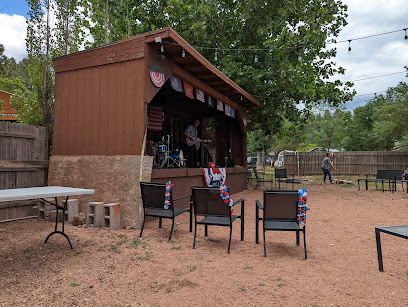
Discover the Scenic Beauty of Barnhardt Trail
Experience the breathtaking landscapes and serene ambiance of Barnhardt Trail, a must-visit hiking area in Payson, Arizona, perfect for nature lovers.
Nestled in the heart of Payson, Arizona, Barnhardt Trail is a picturesque hiking area that offers stunning landscapes, diverse wildlife, and an invigorating outdoor experience ideal for tourists of all ages. The trail is well-known for its breathtaking views and serene environment, making it a must-visit for nature lovers.
A brief summary to Barnhardt Trail
- Payson, Arizona, 85541, US
- Visit website
Local tips
- Visit during the early morning or late afternoon for cooler temperatures and stunning light for photography.
- Check for seasonal waterfall activity; certain times of the year offer beautiful flowing water.
- Bring adequate water and snacks, as there are no services along the trail.
- Wear sturdy hiking shoes for varied terrain and be prepared for elevation changes.
- Keep an eye out for local wildlife, including birds and small mammals, especially in the early hours.
Getting There
-
Car
If you're traveling by car, start by navigating to Payson, AZ 85541. From Payson, take Highway 87 North for approximately 18 miles. Look for the signs for Tonto National Forest. Once you reach the forest, follow the signs for the Barnhardt Trailhead, which will be accessible via Forest Road 24. This road is gravel and may require a high-clearance vehicle depending on the weather conditions. After driving about 4 miles on Forest Road 24, you'll find the Barnhardt Trailhead parking area on your left.
-
Public Transportation
For those using public transportation, you can take a bus from Phoenix to Payson. The 'Maricopa County Transit' operates services between these locations. Once in Payson, you will need to arrange for a taxi or rideshare service to the Barnhardt Trailhead, as public transportation does not service this area directly. Expect to pay an additional fare for the taxi or rideshare, which may vary based on the distance and time of day.
Discover more about Barnhardt Trail
Iconic landmarks you can’t miss
Mazatzal Wilderness
14.4 km
Explore Arizona's Mazatzal Wilderness: Rugged mountains, deep canyons, and pristine wilderness await adventurous hikers and backpackers.
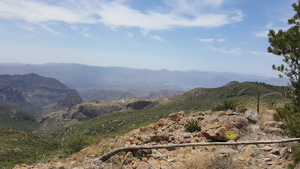
Pine-Strawberry Museum
32.9 km
Discover the captivating history of Pine and Strawberry, Arizona, from Native American heritage to pioneer life, at this local museum.
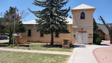
Strawberry School House - One Room
35.9 km
Discover Arizona's oldest standing schoolhouse in Strawberry, a beautifully preserved window into 19th-century pioneer life and education.
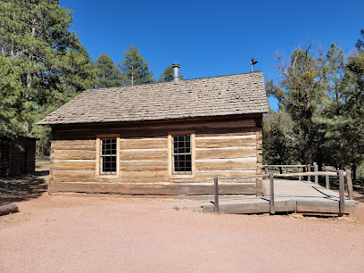
Dupont Cabin
37.6 km
Discover Arizona's past at the Dupont Cabin, a historical landmark in the scenic Tonto Basin, surrounded by natural beauty and pioneer spirit.
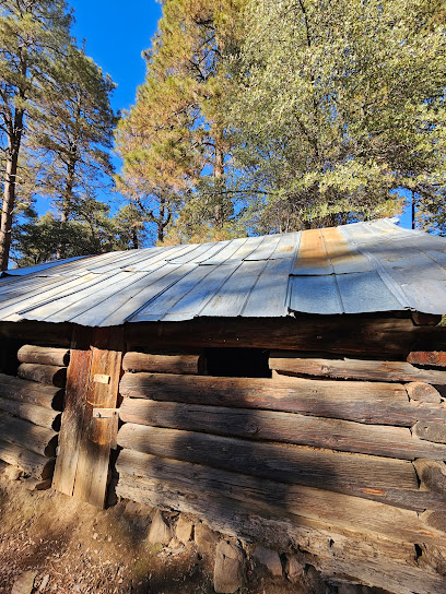
Battle of Big Dry Wash
43.1 km
Explore the site of the Battle of Big Dry Wash, a key conflict in the Apache Wars, in a landscape little changed since 1882.
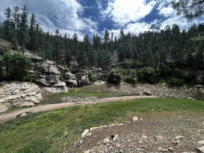
Pleasant Valley Museum
44.4 km
Discover Arizona's captivating history at the Pleasant Valley Museum in Young, exploring the Wild West and Native American heritage.
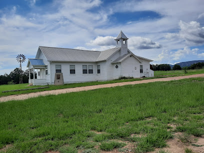
Navajo Monuments
47.6 km
Discover authentic Native American craftsmanship at Navajo Monuments, where culture meets artistry in a scenic setting.

Spur Cross Ranch Conservation
53.8 km
Explore the rugged beauty and rich history of the Sonoran Desert at Spur Cross Ranch Conservation Area in Cave Creek, Arizona.
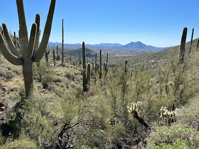
Mindeleff Cavates
55.0 km
Discover ancient Sinagua cave dwellings at Mindeleff Cavates near Camp Verde, Arizona. A unique archaeological hiking experience.
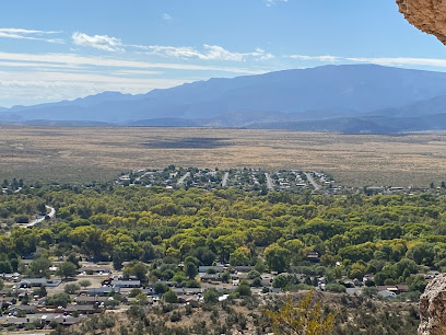
Frontier Town
56.4 km
Experience the Wild West charm of Frontier Town in Cave Creek, AZ, with live entertainment, unique shops, and historical reenactments.
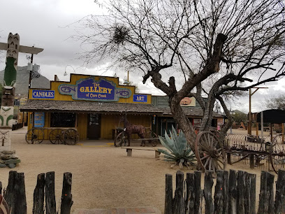
Cave Creek Museum
56.7 km
Explore Arizona's vibrant past at the Cave Creek Museum: Native American culture, mining history, and pioneer stories await!
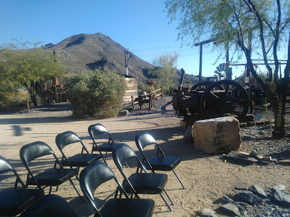
Tonto National Monument
57.0 km
Discover ancient cliff dwellings and explore the rich history of the Salado people at Tonto National Monument in Arizona.
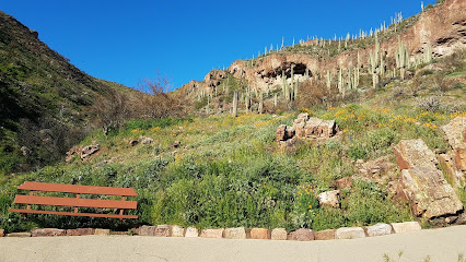
Skeleton Cave
57.1 km
Explore the historical significance and stunning landscapes of Skeleton Cave, a captivating landmark in Fort McDowell, Arizona.
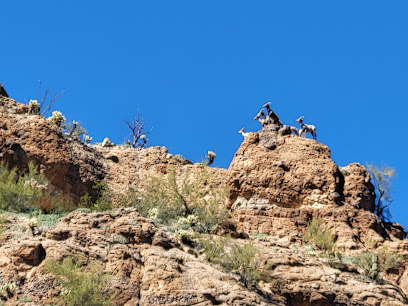
Tonto Lower Cliff Dwelling
57.3 km
Explore the breathtaking Tonto Lower Cliff Dwelling, a historical landmark that reveals the rich heritage of ancient Puebloan civilization in Arizona's stunning desert landscape.
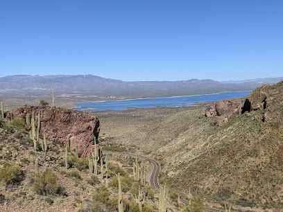
Pinnacle Peak Park
57.3 km
Hike scenic trails, spot desert wildlife, and marvel at the iconic granite summit at Scottsdale's Pinnacle Peak Park. A Sonoran Desert experience awaits!
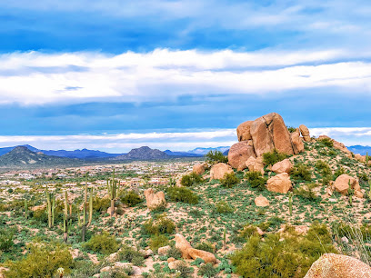
Unmissable attractions to see
Doll Baby Trailhead
14.6 km
Discover the breathtaking Doll Baby Trailhead in Payson, Arizona - a hiker's paradise surrounded by stunning landscapes and peaceful nature.
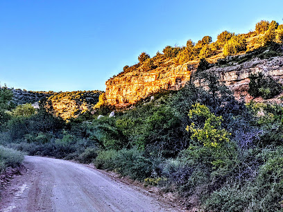
Green Valley Park
16.9 km
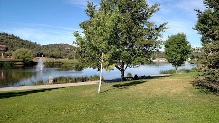
Explore the natural beauty and recreational charm of Green Valley Park in Payson, Arizona, a perfect getaway for families and outdoor enthusiasts alike.
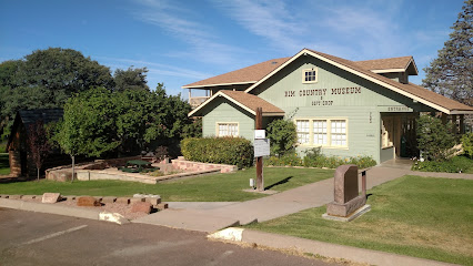
Rim Country Museum and Zane Grey Cabin
17.1 km
Explore the Rim Country Museum and Zane Grey Cabin for a rich experience of Arizona’s history and literary legacy in Payson.
Northern Gila County Historical Society
17.1 km
Discover the captivating history of Northern Gila County at the Northern Gila County Historical Society in Payson, Arizona, a must-see for history lovers.
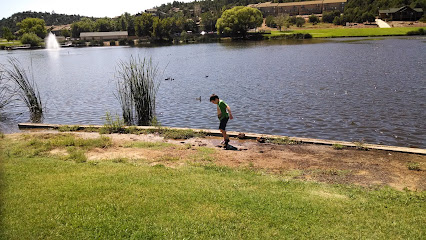
Rumsey Park
18.8 km
Discover the serene beauty and family-friendly activities at Rumsey Park, your perfect outdoor escape in Payson, Arizona.
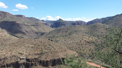
Cypress Trail
18.9 km
Explore the stunning beauty of Cypress Trail in Payson, Arizona, a perfect hiking destination for nature lovers and adventure seekers.
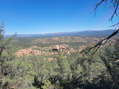
East Verde Picnic Area
23.5 km
Experience the tranquility of East Verde Picnic Area in Payson, Arizona, where nature meets relaxation for an unforgettable outdoor escape.
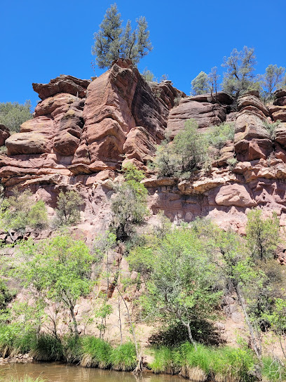
Flowing Springs Day Use Area
24.2 km
Discover the serenity of Flowing Springs Day Use Area in Payson, Arizona - a perfect nature retreat for picnics and relaxation in the great outdoors.
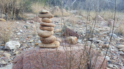
Shoofly Indian Ruins
25.4 km
Explore the Shoofly Indian Ruins in Payson, AZ, a captivating glimpse into ancient Native American culture amidst stunning desert landscapes.
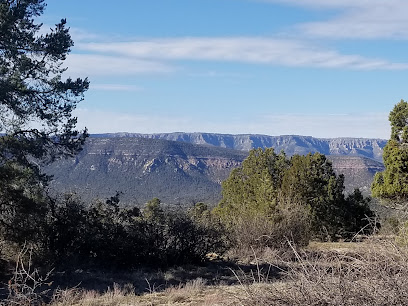
Tonto Natural Bridge Visitor Center
25.7 km
Explore the stunning Tonto Natural Bridge Visitor Center, a gateway to Arizona's breathtaking natural wonders and geological marvels.
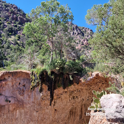
Tonto Natural Bridge State Park
25.7 km
Uncover the natural beauty and adventure at Tonto Natural Bridge State Park, home to the world's largest natural travertine bridge amidst stunning landscapes.
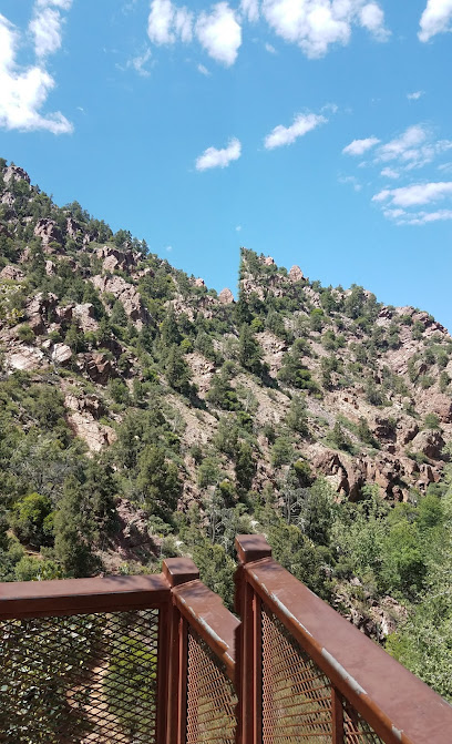
Sheep Bridge
26.3 km
Discover the serene beauty of Sheep Bridge in Carefree, Arizona, a scenic bridge offering breathtaking views and outdoor adventures in Tonto National Forest.
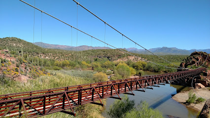
Tonto National Forest
28.0 km
Discover the breathtaking beauty and outdoor adventures at Tonto National Forest, Arizona's vast natural paradise, perfect for exploration and relaxation.
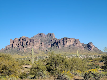
Catfish Point Recreation Area
29.4 km
Experience the tranquility and stunning beauty of Catfish Point Recreation Area in Rio Verde, Arizona, perfect for hiking and family picnics.
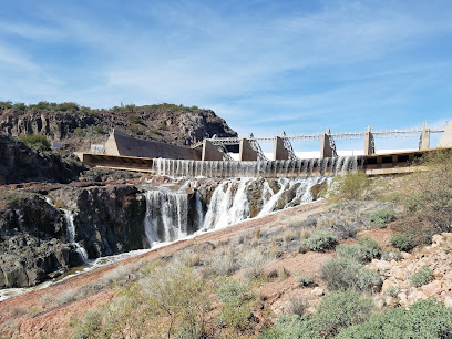
Bartlett Lake Recreation Area (Tonto National Forest)
30.5 km
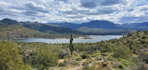
Explore the stunning Bartlett Lake Recreation Area, a serene oasis within Tonto National Forest, ideal for outdoor activities and breathtaking landscapes.
Essential places to dine
Duza's Kitchen
17.1 km
Experience authentic Southwestern flavors at Duza's Kitchen in Payson, Arizona - where every meal tells a story.

The Oxbow Saloon
17.2 km
Experience the vibrant atmosphere and delicious grilled fare at The Oxbow Saloon in Payson, Arizona - where locals gather for unforgettable nights.
Pinon Café
17.4 km
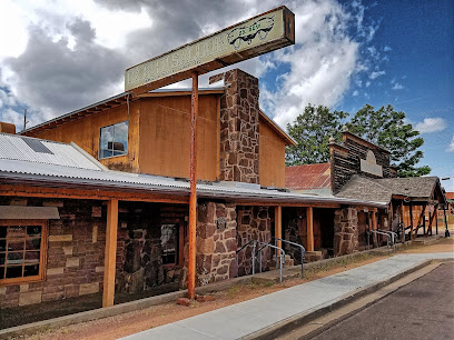
Discover the delightful flavors of Pinon Café in Payson - your perfect spot for breakfast and lunch in Arizona's scenic landscape.

Wendy's
17.5 km
Discover delicious fast food at Wendy's in Payson, AZ - home of fresh ingredients and mouthwatering meals that satisfy every appetite.

Beeline Cafe Payson Az
17.6 km
Experience delightful breakfasts at Beeline Cafe in Payson, AZ - where every meal is crafted with love and served with a smile.

Macky's Grill
17.6 km
Discover the heartwarming flavors of America at Macky's Grill in Payson - where family dining meets exceptional service.

Rim Country BBQ and Wood-Fired Pizza
17.7 km
Experience authentic barbecue and wood-fired pizza at Rim Country BBQ in Payson, AZ—where flavor meets comfort in a welcoming atmosphere.

Mike's Fish and Chips
18.1 km
Discover the best fish and chips at Mike's Fish and Chips in Payson – where quality meets affordability in every delicious bite.

Alfonso's Mexican Food
18.2 km
Experience the vibrant flavors of Mexico at Alfonso's Mexican Food in Payson - where delicious meets affordable in every dish.

Buffalo Bar & Grill
18.4 km
Discover Buffalo Bar & Grill in Payson, AZ – where hearty meals meet Western charm amidst stunning natural landscapes.

El Rancho
18.6 km
Experience authentic Mexican flavors at El Rancho in Payson, where every meal is a celebration of culture and community.

Aliberto's Mexican Food
18.9 km
Discover authentic Mexican cuisine at Aliberto's Mexican Food in Payson—where flavor meets affordability in a vibrant setting.

By the Bucket
18.9 km
Experience affordable dining at By the Bucket in Payson, Arizona – where delicious flavors meet warm hospitality.
Jack in the Box
19.0 km
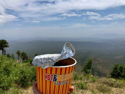
Savor delicious fast food at Jack in the Box in Payson - where classic American flavors meet convenience and variety.

Ayothaya Thai Cafe
19.0 km
Savor authentic Thai flavors at Ayothaya Thai Cafe in Payson, Arizona – where tradition meets taste in a charming atmosphere.

Markets, malls and hidden boutiques
Rye country store! & The Corner Store Bar & Grill
6.4 km
Experience the rustic charm of Rye Country Store & The Corner Store Bar & Grill in Payson, AZ, where delicious food meets unique shopping.
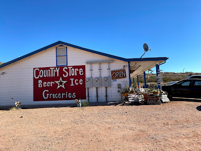
Western Village Of Payson Arizona
17.1 km
Explore the eclectic treasures at the Western Village of Payson, Arizona, where unique collectibles and local artistry await every visitor.

Art & Antique Corral
17.1 km
Discover the charm of Art & Antique Corral in Payson, Arizona, where history and artistry combine to offer a unique shopping experience.
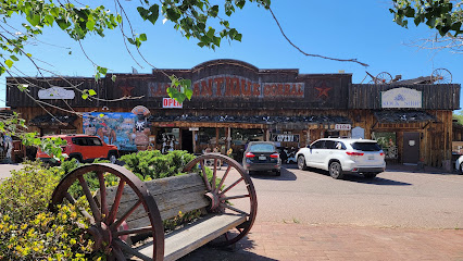
Trinkets & Treasures
17.3 km
Explore an eclectic collection of vintage finds and unique treasures at Trinkets & Treasures in Payson, Arizona, where every item has a history.

New Beginnings Nook
17.5 km
Unearth unique finds and vintage treasures at New Beginnings Nook, a delightful thrift store in the heart of Payson, Arizona.

Main Street Mercantile
17.6 km
Explore Main Street Mercantile in Payson, Arizona for unique local crafts, gifts, and a glimpse into the vibrant community culture.
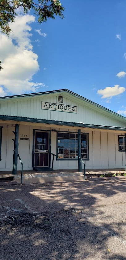
Rim Runners LLC
17.6 km
Rim Runners LLC in Payson, AZ is your ultimate stop for outdoor gear, expert advice, and adventure inspiration in the stunning Arizona wilderness.
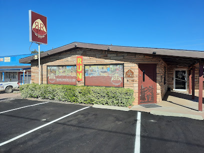
The Shroom Room
17.7 km
Explore the unique offerings of The Shroom Room, a delightful gift shop and coffee haven in Payson, AZ, known for its mushroom-infused beverages and health products.

Pistoll Annie's Boutique
18.0 km
Explore Pistoll Annie's Boutique in Payson, AZ, for unique gifts, antiques, and collectibles that capture the essence of your travels.

Big Bear Antiques
18.2 km
Explore Big Bear Antiques in Payson, AZ – a charming antique store offering vintage collectibles and authentic Native American goods.

JARS Cannabis - Payson
18.8 km
Experience top-tier cannabis offerings at JARS Cannabis in Payson, Arizona, where quality meets exceptional customer service in a welcoming environment.

Dollar Tree
19.0 km
Discover unbeatable deals at Dollar Tree in Payson, AZ - your go-to destination for budget-friendly shopping, crafts, groceries, and unique finds!

Walmart Supercenter
19.0 km
Visit Walmart Supercenter in Payson, AZ, for an all-in-one shopping experience featuring groceries, clothing, electronics, and more.

Big 5 Sporting Goods
19.1 km
Discover Quality Outdoor Gear at Big 5 Sporting Goods - Your Adventure Awaits in Payson, Arizona.

Time Out Inc. Thrift Shop
19.1 km
Explore the unique treasures and vintage finds at Time Out Inc. Thrift Shop in Payson, Arizona—a thrift store with a purpose!

Essential bars & hidden hideouts
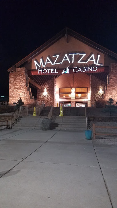
Mazatzal Hotel & Casino
16.5 km
Experience the thrill of gaming, delicious dining, and restful stays at Mazatzal Hotel & Casino in scenic Payson, Arizona.
Chili's Grill & Bar
17.5 km
Experience the vibrant flavors of America and Tex-Mex at Chili's Grill & Bar in Payson, perfect for families and travelers alike.

Backwoods Bar & Grill
18.9 km
Experience the flavors of American cuisine in the heart of Payson, Arizona at Backwoods Bar & Grill, where comfort meets culinary excellence.

Muks Candles & Cocktails
19.6 km
Discover the enchanting Muks Candles & Cocktails in Payson, AZ – where handcrafted cocktails meet a warm and inviting ambiance.

Rim Country Bowl / The Arizona Bar
20.3 km
Experience the ultimate fun at Rim Country Bowl / The Arizona Bar, where bowling meets great food and drinks in the scenic Payson, Arizona.

Midtown Yard
23.2 km
Discover the flavors of America at Midtown Yard, a premier grill in Payson, AZ, offering delicious dishes and stunning views.

Spur Bar
23.3 km
Discover Payson's vibrant nightlife at Spur Bar, where great drinks meet live music in a warm, welcoming atmosphere.

Punkin Center Bar
26.4 km
Experience the charm of Punkin Center Bar in Tonto Basin, Arizona – where local vibes meet refreshing drinks in a cozy atmosphere.

Cactus flats bar
28.9 km
Discover the vibrant atmosphere of Cactus Flats Bar in Tonto Basin, Arizona - a perfect blend of relaxation, community, and local flavor.
Cactus Flats
30.0 km
Experience the charm of Cactus Flats, a vibrant bar in Tonto Basin, Arizona, offering refreshing drinks and a relaxing atmosphere amidst stunning desert views.

THAT Brewery & Pub
31.7 km
Discover the charm of THAT Brewery & Pub in Pine, AZ, where craft beer meets delicious barbecue in a scenic paradise.
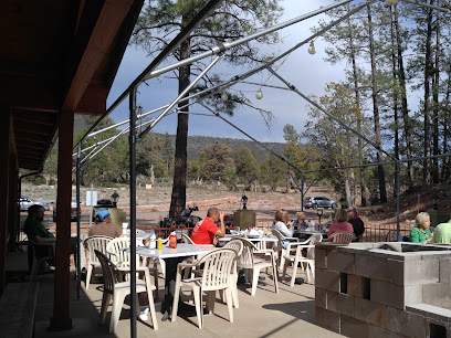
The Tap Room
32.2 km
Discover the vibrant culture of Pine, Arizona at The Tap Room, where local brews meet a cozy atmosphere.

Pinewood Tavern
32.6 km
Experience the warmth and charm of Pinewood Tavern, a cozy pub in Arizona offering craft beer, hearty meals, and a welcoming atmosphere.

Bandits Restaurant
35.5 km
Discover Bandits Restaurant in Pine, AZ for an unforgettable dining experience with delicious grilled dishes and a warm, inviting atmosphere.

Double D Bar & Grill LLC.
36.3 km
Experience the authentic flavors of America at Double D Bar & Grill, a beloved dining destination in beautiful Payson, Arizona.
