Tonto National Forest · Travel guide · Updated 2026

Tonto National Forest: Arizona's Wilderness Wonderland

Explore the vast beauty and diverse landscapes of Tonto National Forest in Arizona – a paradise for nature lovers and outdoor enthusiasts alike.

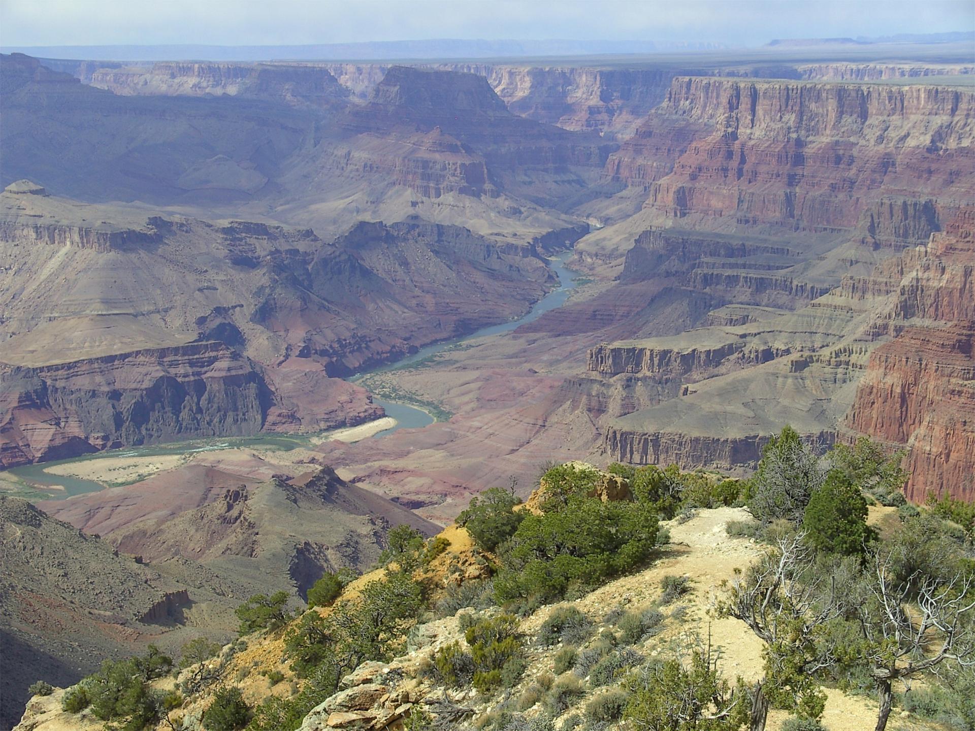
Tonto National Forest is a stunning natural haven located in Arizona, United States. Covering nearly 3 million acres, it is one of the largest national forests in the country. This forest offers a diverse range of landscapes, from the Sonoran Desert to the rich alpine forests. Visitors can explore its numerous hiking trails, scenic drives, and camping spots, all offering breathtaking views and a chance to connect with nature. 
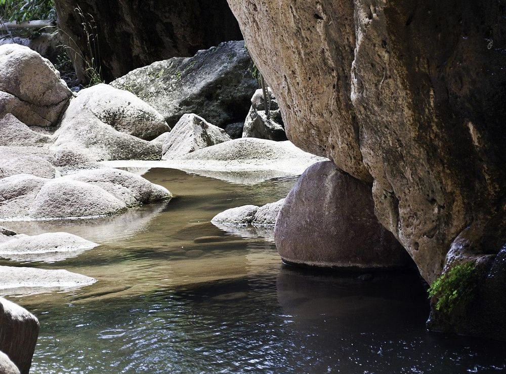
Outdoor enthusiasts will find plenty of activities to enjoy here. The forest is home to several lakes, rivers, and reservoirs, making it an ideal spot for fishing, boating, and swimming. Additionally, the forest provides opportunities for bird watching, picnicking, and wildlife viewing. The Tonto National Forest is also rich in history and culture, with ancient Native American ruins and petroglyphs waiting to be discovered. Whether you're seeking adventure or relaxation, Tonto National Forest has something for everyone. The forest's varied ecosystems support a wide range of flora and fauna, making it a paradise for nature lovers. With its year-round accessibility, it is a perfect destination for both short visits and extended stays. Don't forget to bring your camera to capture the stunning vistas and unforgettable experiences.

When is the best time to go to Tonto National Forest?

Weather at a glance

Use the monthly temperature and precipitation trends to compare typical conditions across the year before planning countryside walks, town visits, and heritage days.

Temperature

°C

Precipitation

mm
Warmest monthsJul–Aug
Longest daylightMay–Jul
Driest periodJun

Explore places in Tonto National Forest

    See all →
    File:Grand Canyon landscape.jpg - Wikimedia Commons
    Destination guide

    More about Arizona

    Discover Arizona: From the majestic Grand Canyon and red rocks of Sedona to the vibrant cities of Phoenix and Scottsdale, explore the diverse beauty and culture of the Grand Canyon State.

    Tell me more about Arizona
    Mobile App
    Get the app

    Your all‑in‑one travel companion app

    Explore expert travel guides, compare and book tours, experiences, hotels, and more—all from the palm of your hand. Download now for seamless trip planning wherever your wanderlust takes you.

    Explore Tonto National Forest in Photos

    A quick visual route through countryside views, towns, gardens, and regional day-trip atmosphere.

    File:Sunrise Reflections, Lower Salt River, December 2012 - panoramio.jpg -  Wikimedia Commons
    File:Pinter's Point View, Saguaro Lake, Tonto National Forest, Arizona -  panoramio (2).jpg - Wikimedia Commons
    File:Superstition Mountains.jpg - Wikimedia Commons
    File:Apache Trail 06.jpg - Wikimedia Commons
    File:Mapped to Tonto Natural Bridge State Park, Tonto National Forest,  Payson, AZ 85547, USA - panoramio (4).jpg - Wikimedia Commons
    File:CanyonLake.JPG - Wikimedia Commons
    File:Desert Foliage And Canyon In Arizona.jpg - Wikipedia
    File:FourpeaksDSC 2779.JPG - Wikimedia Commons
    File:Roosevelt Lake Bridge20120106-OC-AMW-0724.jpg - Wikimedia Commons
    File:Arizona State Highway 260 winding its way through the Tonto Forest  just below the Mogollon Rim.jpg - Wikimedia Commons

    Planning another trip?

    Continue exploring nearby country regions around Tonto National Forest, from connected city edges to neighbouring counties, coastlines, and countryside escapes.

    Select Currency

    Choose the currency you want prices to display in.