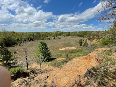
St. Francis Sunken Lands WMA: A Natural Wonder Born of Earthquakes
Explore the St. Francis Sunken Lands WMA: a northeast Arkansas treasure offering hunting, fishing, wildlife viewing, and a glimpse into earthquake history.
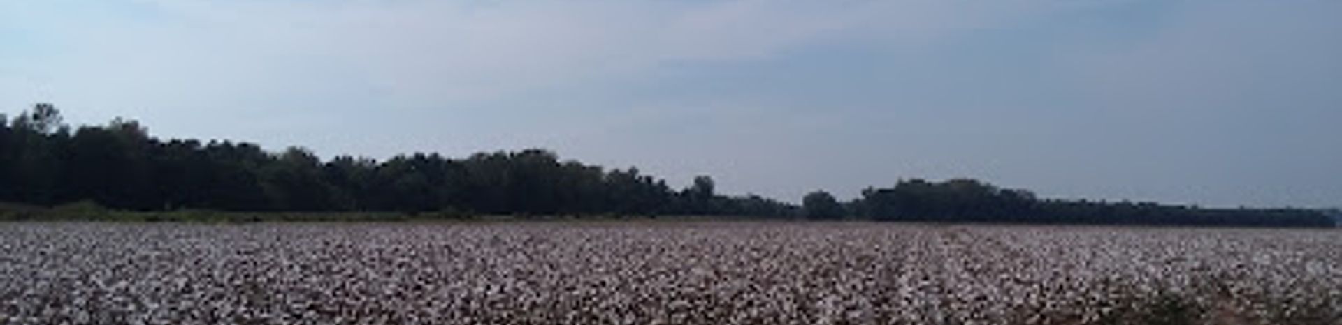
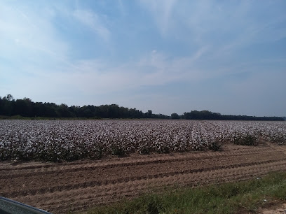
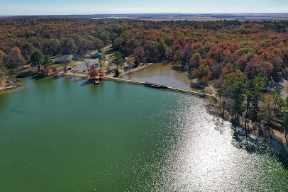
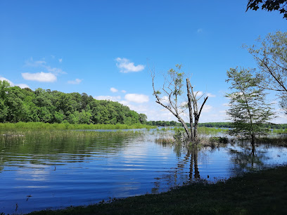
The St. Francis Sunken Lands Wildlife Management Area (WMA) in northeast Arkansas is a unique wetland area created by the New Madrid Earthquakes of 1811 and 1812. This natural area offers diverse recreational activities, including hunting, fishing, wildlife viewing, and bird watching, spread across its 30,574 acres.
A brief summary to St. Francis Sunken Lands WMA
- 814 Co Rd 824, Lake City, Arkansas, 72437, US
- +1877-972-5438
- Visit website
Local tips
- Check the AGFC website for the most up-to-date information on hunting seasons and regulations before your visit.
- Be prepared for potential flooding, especially during the winter and spring months.
- Bring insect repellent, as mosquitoes and other insects can be abundant, especially during warmer months.
- Wear appropriate footwear for hiking in potentially wet and muddy conditions.
- Consider bringing binoculars for enhanced wildlife viewing and bird watching opportunities.
Getting There
-
Driving
The St. Francis Sunken Lands WMA is accessible via several state highways, including AR-63, AR-69, AR-135, and AR-18. From Jonesboro, a major access point is the Siphons Access off AR-63 near Marked Tree. Another option is to take Highway 18 east to Highway 135, then south to County Road 876, which leads into the WMA. Be aware that interior roads are often limited to logging trails and may be closed to vehicular traffic. Parking is available at designated access points , and there is no fee.
Discover more about St. Francis Sunken Lands WMA
Iconic landmarks you can’t miss
St. Francis Sunken Lands WMA
0.0 km
Explore the St. Francis Sunken Lands WMA: a northeast Arkansas treasure offering hunting, fishing, wildlife viewing, and a glimpse into earthquake history.
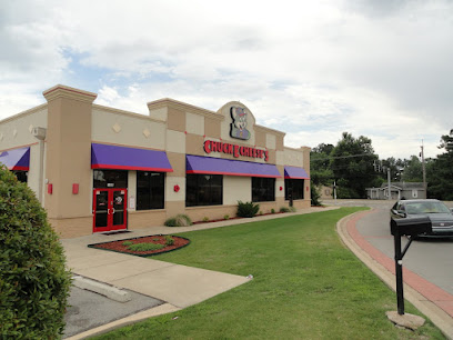
Chuck E. Cheese
23.9 km
Experience the joy of family fun at Chuck E. Cheese in Jonesboro, where delicious pizza meets endless entertainment for kids and adults alike.
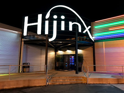
Hijinx: The Funtivity Spot | Bowling, Laser Tag, Arcade Games, Ropes Course, Playground | JT's Grill Restaurant
24.9 km
Discover endless fun at Hijinx: The Funtivity Spot in Jonesboro, Arkansas, featuring bowling, laser tag, arcade games, and a family-friendly grill.
Que 49 Smokehouse
25.0 km
Award-winning Memphis-style BBQ in Jonesboro, AR, serving slow-smoked meats and delicious sides in a family-friendly atmosphere.
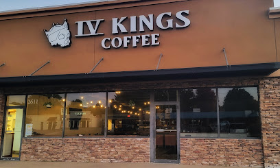
Four Kings Coffee
25.3 km
Experience specialty coffee at Four Kings Coffee in Jonesboro, AR, with award-winning brews, house-made syrups, and a welcoming atmosphere.
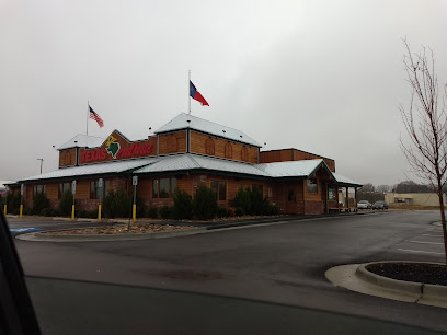
Texas Roadhouse
25.4 km
Savor hand-cut steaks and Southwestern flavors at Texas Roadhouse in Jonesboro, a legendary dining experience for the whole family.
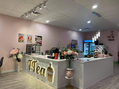
T-Tea in Jonesboro
25.5 km
Experience the best bubble tea in Jonesboro at T-Tea, where delightful flavors and a cozy atmosphere await every tea lover.
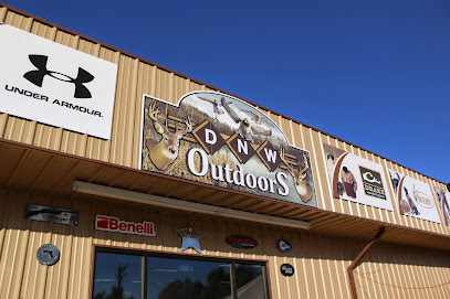
DNW Outdoors
25.5 km
Discover DNW Outdoors: your ultimate destination for archery, grilling, and sporting goods in Jonesboro, Arkansas, perfect for all outdoor enthusiasts.
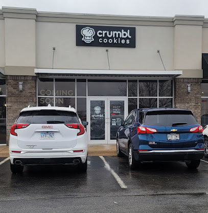
Crumbl - Jonesboro
25.8 km
Gourmet cookies with a rotating menu, baked fresh daily in Jonesboro, Arkansas. Experience the Crumbl difference!
Immortal Ink
25.8 km
Explore the artistry of Immortal Ink, Jonesboro's premier tattoo and body piercing destination, where creativity and self-expression come to life.
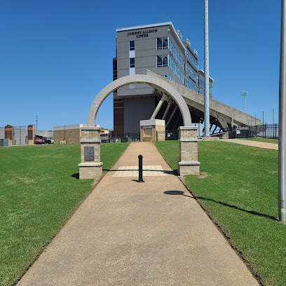
Centennial Bank Stadium
25.9 km
Experience the excitement of Red Wolves football at Centennial Bank Stadium, a Jonesboro landmark!
Arkansas Delta Byways
26.0 km
Experience the rich culture and stunning landscapes of Arkansas Delta Byways, a scenic route through history, music, and Southern cuisine.
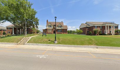
Historic V.C. Kays House
26.0 km
Discover the Historic V.C. Kays House, a charming landmark in Jonesboro, Arkansas, showcasing rich history and stunning architecture.

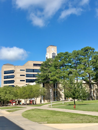
Arkansas State University
26.2 km
Discover a vibrant campus with a rich history, diverse academic programs, and a commitment to research and community engagement in Jonesboro, AR.
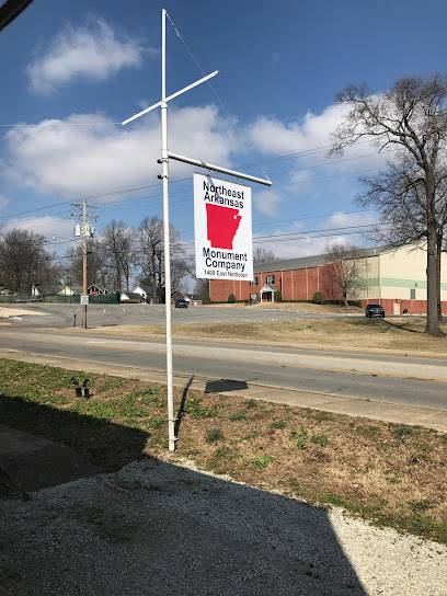
Northeast Arkansas Monument Company
26.6 km
Discover the artistry of memorial craftsmanship at Northeast Arkansas Monument Company, where history and heritage unite in stunning stone designs.
Unmissable attractions to see
Marked Tree Delta Area Museum
21.7 km
Discover the captivating history of the Arkansas Delta region at the Marked Tree Delta Area Museum, showcasing local heritage and community evolution.

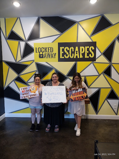
LOCKED AWAY ESCAPES
24.8 km
Experience thrilling escape room adventures at Locked Away Escapes in Jonesboro, AR – perfect for families, friends, and team-building!
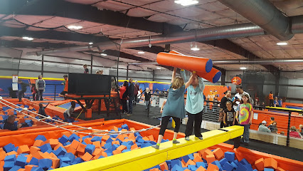
Ultimate Air Trampoline Park
24.8 km
Experience high-flying fun at Jonesboro's premier trampoline park, offering a variety of activities for all ages and skill levels!
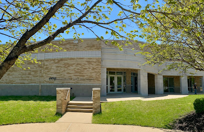
AGFC Forrest L. Wood Crowley's Ridge Nature Center
25.7 km
Explore the unique natural history of Crowley's Ridge with interactive exhibits, scenic trails, and educational programs for all ages.
Bradbury Art Museum
25.8 km
Discover contemporary art at Arkansas State University's Bradbury Art Museum, offering diverse exhibitions and community programs.
Fowler Center
25.8 km
Experience world-class performances and art exhibitions at the Fowler Center, Arkansas State University's premier cultural destination.
Craighead Forest Park
25.8 km
Escape to nature in Jonesboro's Craighead Forest Park: hiking, fishing, camping, and family fun await in this scenic 692-acre oasis.
University Museum
26.4 km
Explore the University Museum: a cultural hub showcasing Arkansas' rich history and art through engaging exhibits and interactive experiences.
Double B Vintage Market
26.6 km
Discover unique vintage finds, antiques, and local crafts at Double B Vintage Market in Jonesboro, Arkansas – a treasure trove for all!
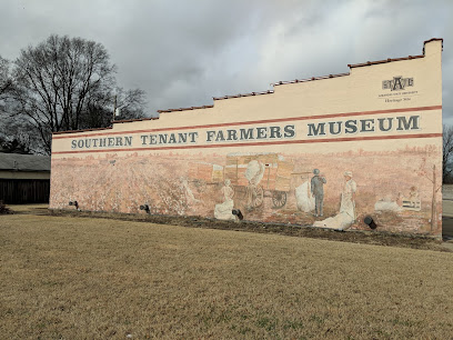
Southern Tenant Farmers Museum
26.7 km
Discover the story of tenant farmers and the Southern Tenant Farmers Union at this historic museum in Tyronza, Arkansas.
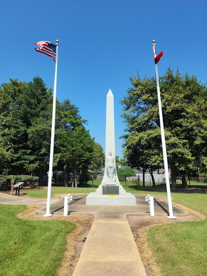
Herman Davis State Park
28.4 km
Visit Herman Davis State Park in Manila, AR: A compact, yet impactful tribute to a WWI hero's courage and legacy.
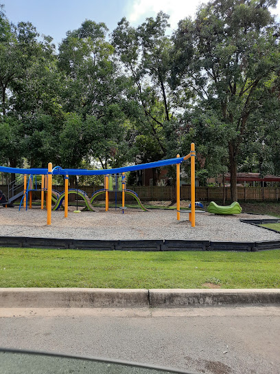
City Water and Light Park
28.8 km
A vibrant Jonesboro park with playgrounds, sports fields, and walking paths, perfect for family outings and community events.
Lake Poinsett State Park
31.9 km
Discover a serene retreat on Crowley's Ridge offering fishing, camping, hiking, and boating in a picturesque natural setting.
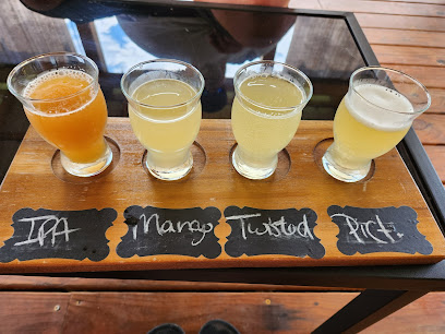
Juniper Tree Meadery
35.6 km
Discover award-winning meads at Northeast Arkansas's only winery/meadery tasting room, nestled in the scenic Crowley's Ridge near Paragould.
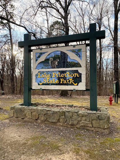
Lake Frierson State Park
38.2 km
Discover a peaceful retreat on Crowley's Ridge with fishing, hiking, and natural beauty at Lake Frierson State Park in Northeast Arkansas.
Essential places to dine
The Southern Chef # 1
20.2 km
Experience authentic Southern cuisine at The Southern Chef #1 in Jonesboro – where every meal is a taste of tradition.
Waffle House
24.1 km
Experience the true taste of America at Waffle House in Jonesboro – where breakfast meets comfort food around the clock.

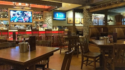
LongHorn Steakhouse
24.1 km
Experience top-notch steaks and traditional American cuisine at LongHorn Steakhouse in Jonesboro – perfect for families and food lovers alike!

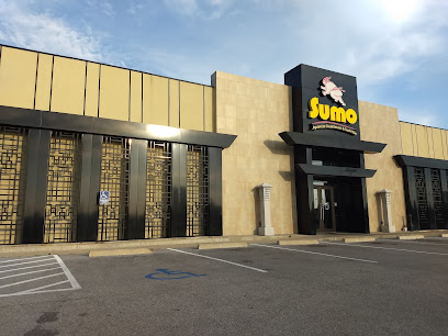
Sumo Japanese Steakhouse
24.2 km
Experience authentic Japanese cuisine at Sumo Japanese Steakhouse in Jonesboro - where every meal is a delicious performance.
Colton's Steak House & Grill
24.4 km
Discover the ultimate steakhouse experience at Colton's Steak House & Grill in Jonesboro – where every meal is a celebration of flavor.
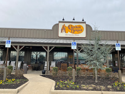
Cracker Barrel Old Country Store
24.4 km
Discover the taste of traditional American cuisine at Cracker Barrel Old Country Store in Jonesboro—where every meal feels like home.
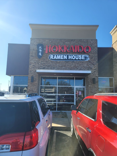
Hokkaido Ramen House
24.5 km
Experience authentic Japanese cuisine at Hokkaido Ramen House in Jonesboro—where every bowl tells a story of tradition and flavor.
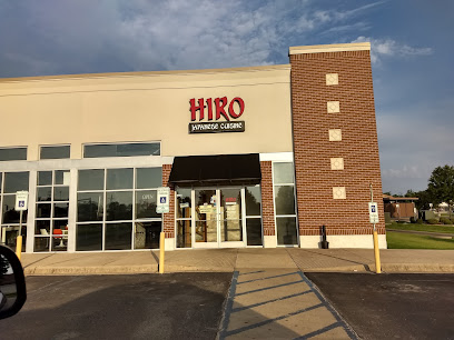
Hiro Japanese Cuisine
24.5 km
Discover the rich flavors of Japan at Hiro Japanese Cuisine in Jonesboro - where tradition meets taste in every dish.
Cheddar's Scratch Kitchen
24.5 km
Experience homemade goodness at Cheddar's Scratch Kitchen in Jonesboro – where every dish is crafted with love and tradition.

501 Steakhouse
24.5 km
Discover exceptional steaks and fine dining at 501 Steakhouse in Jonesboro, where every bite is a celebration of flavor.
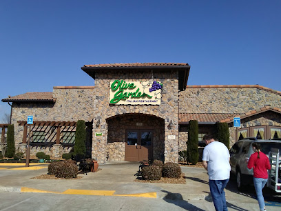
Olive Garden Italian Restaurant
24.5 km
Experience authentic Italian cuisine at Olive Garden in Jonesboro—delicious meals served in a warm, welcoming atmosphere perfect for families and friends.
The Cajun Cafe Delta Crawfish
24.5 km
Savor the rich flavors of authentic Cajun cuisine at The Cajun Cafe Delta Crawfish in Jonesboro, AR – your go-to spot for seafood delights.
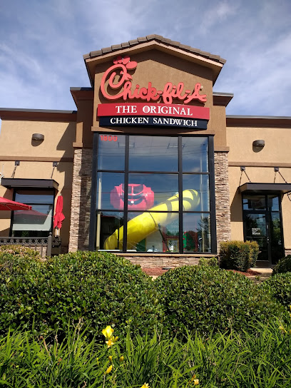
Chick-fil-A
24.6 km
Experience the heart of Southern hospitality with delicious chicken sandwiches and family-friendly service at Chick-fil-A in Jonesboro.
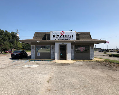
Kazoku Hibachi Express
24.7 km
Discover the authentic flavors of Japan at Kazoku Hibachi Express in Jonesboro - where culinary artistry meets delightful dining.
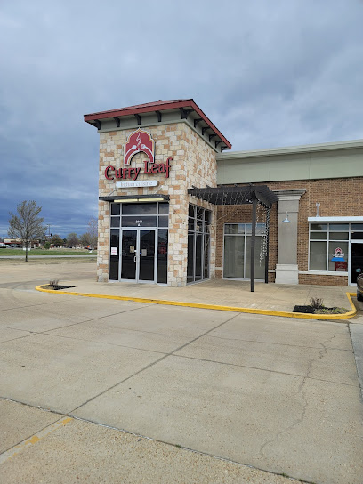
Curry Leaf Indian Cuisine
24.8 km
Experience authentic Indian cuisine at Curry Leaf Indian Cuisine with an extensive buffet offering delightful flavors and rich aromas.
Markets, malls and hidden boutiques
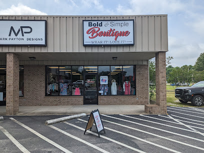
Bold and Simple Boutique
23.2 km
Discover unique fashion at Bold and Simple Boutique in Jonesboro, AR, where style meets individuality in a welcoming atmosphere.
Southern Belle Resale Shop
23.8 km
Explore Southern Belle Resale Shop in Jonesboro, Arkansas, for unique used furniture and vintage treasures that tell a story.
The Toy Store Gifts & More
24.1 km
Explore a unique selection of toys at The Toy Store Gifts & More, a charming destination in Jonesboro, Arkansas for families and collectors.
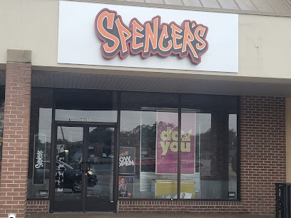
Spencers
24.2 km
Explore Spencers in Jonesboro for trendy T-shirts, unique clothing, and accessories that capture the spirit of fashion and fun.
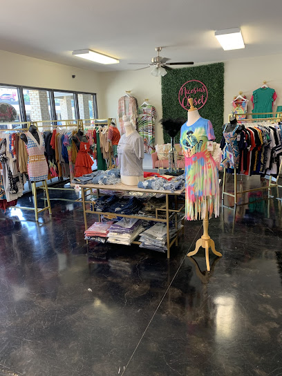
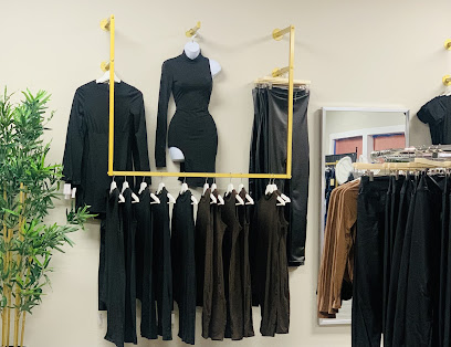
Nicosias Closet
24.3 km
Explore unique styles and exceptional service at Nicosias Closet, a must-visit clothing store in Jonesboro, Arkansas.
BossBabe Boutique
24.3 km
Explore BossBabe Boutique in Jonesboro for unique fashion finds, trendy styles, and a personalized shopping experience in the heart of Arkansas.
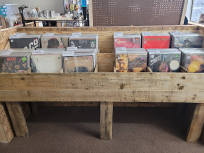
Look Once Look Twice Flea Market
24.3 km
Explore unique antiques, collectibles, and local crafts at Look Once Look Twice Flea Market in Jonesboro, Arkansas.
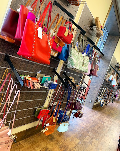
Style Encore
24.5 km
Discover unique, affordable fashion at Style Encore in Jonesboro – your destination for pre-owned clothing, shoes, and accessories.
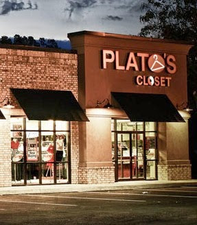
Plato's Closet
24.5 km
Explore stylish savings at Plato's Closet in Jonesboro - your go-to destination for trendy second-hand fashion and accessories!
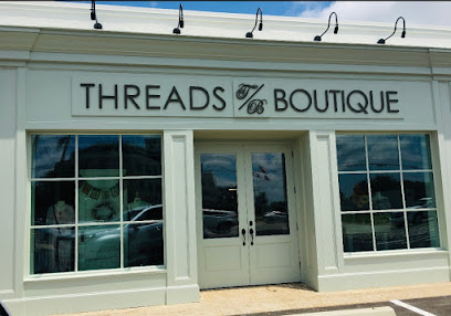
Threads Boutique
24.6 km
Explore Threads Boutique in Jonesboro, AR for stylish apparel and accessories that blend affordability with the latest fashion trends.
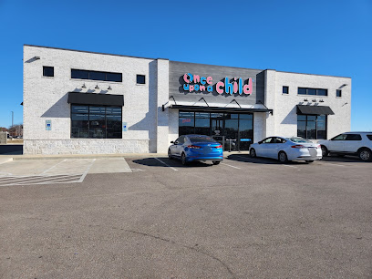
Once Upon A Child
24.7 km
Discover quality, affordable children's clothing at Once Upon A Child in Jonesboro, Arkansas - where style meets sustainability.
Highland Square Shopping Center
25.1 km
Discover a shopper's paradise at Highland Square Shopping Center in Jonesboro, Arkansas, where diverse retail and dining options await.
Label$
25.3 km
Explore Label$ Boutique in Jonesboro for unique fashion and decor that showcases local style and charm.

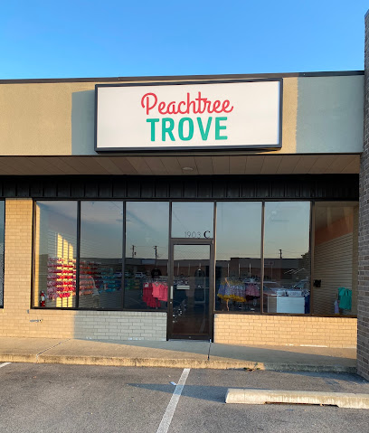
Peachtree Trove
25.4 km
Discover Peachtree Trove, the go-to children's clothing store in Jonesboro, Arkansas, offering a unique selection of stylish and quality apparel for kids.
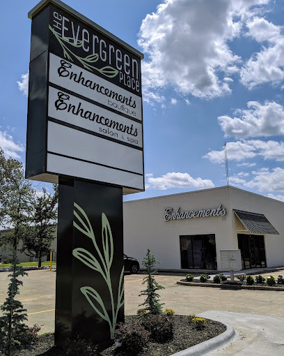
Enhancements Boutique
25.5 km
Explore Enhancements Boutique in Jonesboro, AR for trendy women's clothing and cosmetics that beautify and inspire your unique style.
Essential bars & hidden hideouts
Chili's Grill & Bar
24.6 km
Savor the best of American and Tex-Mex cuisine at Chili's Grill & Bar in Jonesboro, perfect for family gatherings and casual dining.
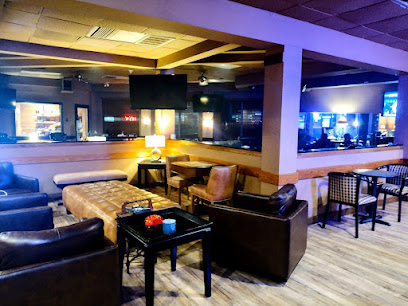
JW's Cigar Lounge & Grill
24.6 km
Discover the ultimate sports bar experience at JW's Cigar Lounge & Grill, where great food, cigars, and live sports come together in Jonesboro.
The Vibe Lounge LLC
25.5 km
Discover relaxation at The Vibe Lounge, a stylish haven in Jonesboro where you can unwind with friends over drinks in a cozy atmosphere.
The Office Bar And Grill
25.8 km
Experience the vibrant nightlife at The Office Bar And Grill in Jonesboro, where delicious food and refreshing drinks come together in a lively atmosphere.
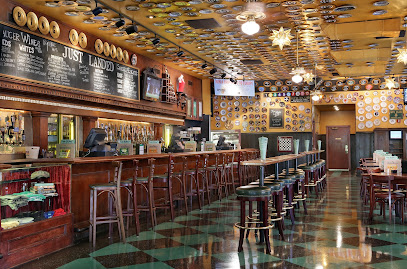
bar
26.3 km
Experience the lively atmosphere of Jonesboro's premier bar, where local culture meets great drinks and unforgettable nights.
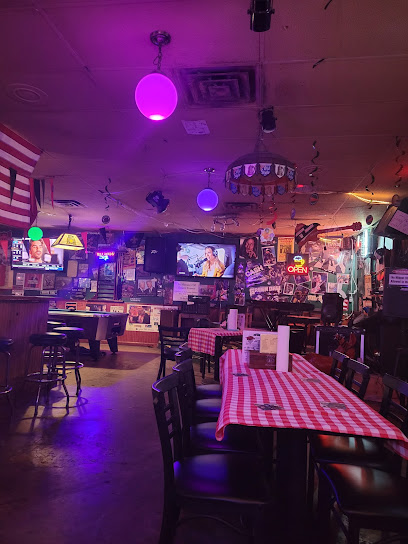
Tommy Bolt Tavern
26.3 km
Savor the delicious grilled flavors at Tommy Bolt Tavern in Jonesboro, Arkansas, a local favorite for every food enthusiast.
Fat Charlie’s Speakeasy
71.2 km
Experience the unique charm of Fat Charlie’s Speakeasy in Memphis, where vintage vibes meet modern tastes in an unforgettable nightlife setting.
Bardog Tavern
72.8 km
Discover the lively Bardog Tavern in Downtown Memphis, where great food, craft beers, and a vibrant atmosphere await every visitor.
Blind Bear
73.0 km
Discover the charm of Blind Bear, a cocktail bar in Memphis that combines exquisite drinks with a Prohibition-era ambiance for an unforgettable night.
Belle Tavern
73.0 km
Discover Belle Tavern, a hidden culinary gem in Downtown Memphis, offering exceptional grill dishes and a cozy atmosphere for an unforgettable dining experience.
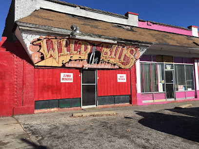
Wild Bill's Juke Joint
73.0 km
Discover the vibrant atmosphere and mouthwatering Southern cuisine at Wild Bill's Juke Joint, the heart of nightlife in Memphis.
Beck & Call
73.0 km
Discover the vibrant atmosphere of Beck & Call, a chic lounge in Downtown Memphis offering signature cocktails and an unforgettable nightlife experience.
The Corner Bar at The Peabody Memphis
73.1 km
Experience the cozy charm of The Corner Bar at The Peabody Memphis, where great drinks and a welcoming atmosphere await you.
Silly Goose
73.1 km
Experience the vibrant nightlife of Downtown Memphis at Silly Goose, a cocktail bar and lounge with delicious food and unforgettable atmosphere.
Flying Saucer Draught Emporium
73.2 km
Experience a taste of Memphis at Flying Saucer Draught Emporium, where beer lovers unite to enjoy over 200 beers and delicious American cuisine.