
Eaglehawk Neck: Nature's Gateway to Tasmania
Discover the breathtaking beauty and historical significance of Eaglehawk Neck, Tasmania's stunning coastal isthmus.
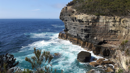
Eaglehawk Neck is a stunning isthmus in Tasmania, renowned for its breathtaking scenery, rich history, and outdoor adventures. This picturesque location offers tourists a unique blend of natural beauty and cultural significance, making it a must-visit for anyone exploring Tasmania's coast.
A brief summary to Eaglehawk Neck
- Eaglehawk Neck, Tasmania, AU
Local tips
- Visit during sunrise or sunset for stunning views and great photography opportunities.
- Take a guided tour to learn about the fascinating convict history of the region.
- Make sure to bring a camera, as the scenery is perfect for capturing unforgettable moments.
- Check local weather conditions before hiking, as the coastal climate can change quickly.
- Explore the nearby Tasman National Park for more hiking trails and breathtaking landscapes.
Getting There
-
Car
If you are driving, head towards Eaglehawk Neck from any location in the Tasman Peninsula. Use Google Maps or a GPS device to navigate to the coordinates: Latitude -43.0197222, Longitude 147.92499999999998. From Port Arthur, take Safety Cove Road, then turn onto the Arthur Highway (A9). Follow the signs towards Eaglehawk Neck. The drive from Port Arthur takes about 15 minutes. There is ample parking available at the beach area.
-
Public Transportation
For those relying on public transport, check the Tasmanian Public Transport website for the latest bus schedules. Look for the bus service that connects Port Arthur with Eaglehawk Neck. The bus typically runs several times a day, and the journey takes approximately 30 minutes. Once you arrive in Eaglehawk Neck, the beach and historical sites are within walking distance from the bus stop.
-
Walking
If you are already in Eaglehawk Neck and wish to explore the area on foot, you can easily walk to the local attractions, including the beach and historical sites. The main beach is just a short walk from the main road. Make sure to wear comfortable shoes and bring water, especially if you plan to hike or spend time at the beach.
Discover more about Eaglehawk Neck
Iconic landmarks you can’t miss
Eaglehawk Neck
0.0 km
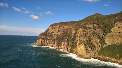
Discover the breathtaking beauty and historical significance of Eaglehawk Neck, Tasmania's stunning coastal isthmus.
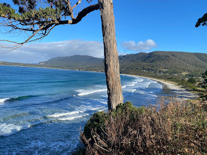
Pirates Bay Beach
0.4 km
Experience the stunning beauty and tranquility of Pirates Bay Beach, a hidden gem in Tasmania perfect for relaxation, swimming, and scenic walks.
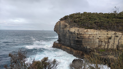
Blow Hole
2.4 km
Witness the majestic Blow Hole in Eaglehawk Neck, Tasmania – a stunning natural attraction where ocean waves create breathtaking geysers.
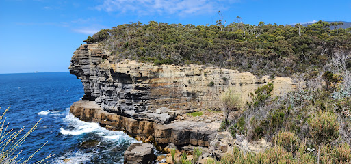
Doo Town
2.5 km
Discover the whimsical charm of Doo Town, a delightful tourist attraction on the Tasman Peninsula, known for its quirky shack names and stunning coastal views.
Isle of the Dead
15.1 km
Discover the haunting beauty of the Isle of the Dead in Tasmania, a historical island rich in stories and surrounded by stunning natural landscapes.
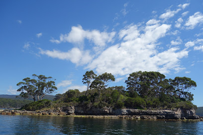
tasmanian wilderness experiences
40.8 km
Immerse yourself in the breathtaking natural beauty and diverse wildlife of Tasmania with unforgettable wilderness experiences in Rokeby.
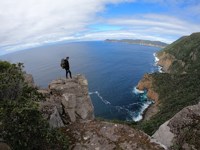
Yogis Lookout
44.1 km
Explore the breathtaking vistas and serene atmosphere at Yogis Lookout in Howrah, Tasmania, a must-visit for nature lovers and photographers.

The Searchlight
47.4 km
Explore The Searchlight in Sandy Bay, a historic landmark offering breathtaking coastal views and a glimpse into Tasmania's maritime history.
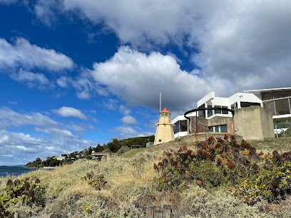
Rosny Point
49.2 km
Explore the breathtaking views and tranquil beauty of Rosny Point, a scenic spot nestled in Tasmania's stunning landscapes, perfect for relaxation and photography.
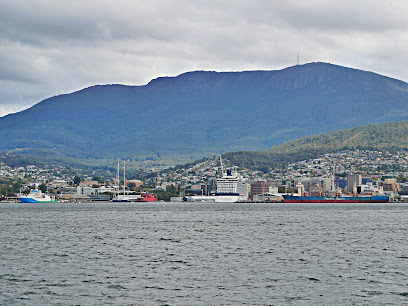
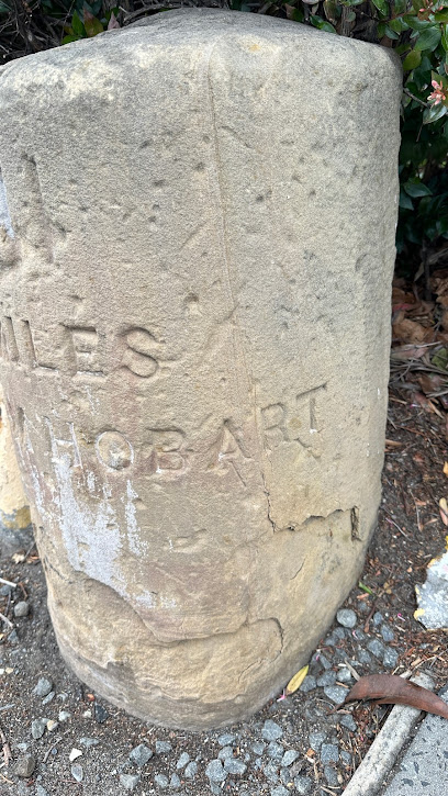
Old Sandstone Mile Marker
49.6 km
Explore the Old Sandstone Mile Marker in Sandy Bay, Tasmania - a historical landmark that showcases the region's rich heritage amidst stunning natural beauty.
Tasman Bridge Lookout
49.9 km
Discover stunning vistas of Hobart and the Tasman Bridge at the scenic Tasman Bridge Lookout, a perfect destination for nature lovers and photographers.
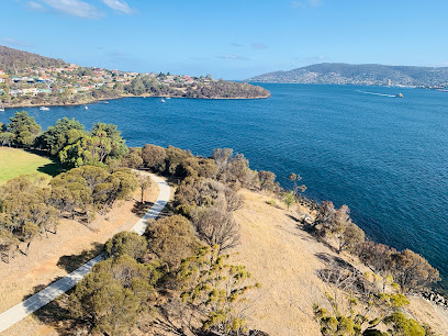
Errol Flynn Reserve
50.1 km
Experience the tranquility of Errol Flynn Reserve in Sandy Bay, a perfect park for relaxation, picnics, and stunning views of Tasmania's natural beauty.

Battery Point
50.2 km
Discover Battery Point, Tasmania: A captivating blend of history, stunning coastal views, and vibrant local culture awaits you in this charming district.

Tasman Bridge
50.2 km
Explore the iconic Tasman Bridge, a stunning connection between Hobart and the eastern shore, offering breathtaking views and a gateway to Tasmania's beauty.
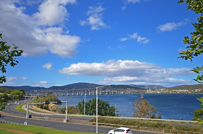
St George’s Anglican Church
50.3 km
Explore the historic St George’s Anglican Church in Battery Point, Tasmania, where stunning architecture meets rich spiritual and cultural heritage.

Unmissable attractions to see
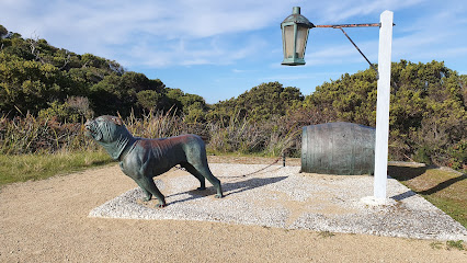
The Dog line
0.4 km
Discover Tasmania's unique Dog Line, a historical landmark that reveals the island's convict history and offers stunning coastal views.
Tasman island cruises
0.5 km
Discover the breathtaking beauty and rich wildlife of Tasmania with Tasman Island Cruises - an unforgettable adventure awaits on the stunning Tasman Peninsula.
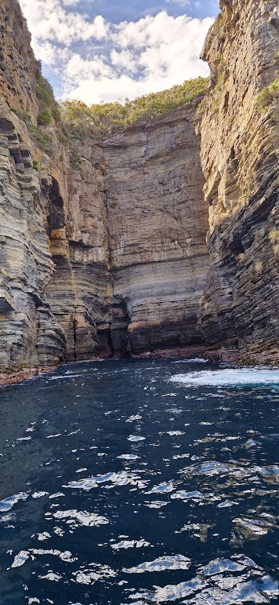
Officers Quarters Museum
0.7 km
Discover Tasmania's maritime history at the Officers Quarters Museum in Eaglehawk Neck – a unique historical landmark showcasing the convict past.
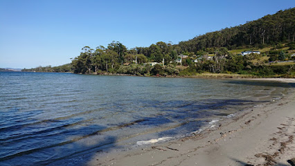
Tessellated Pavement
1.2 km
Discover the stunning Tessellated Pavement in Tasmania, a breathtaking geological wonder with unique hexagonal formations and scenic coastal views.
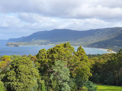
Eaglehawk Lookout
1.4 km
Discover the breathtaking views and rich history of Eaglehawk Lookout in Tasmania, a must-visit destination for nature lovers and adventure seekers.
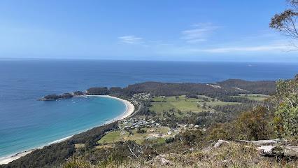
Fossil Bay Lookout
2.5 km
Experience the stunning views and natural beauty at Fossil Bay Lookout, a top tourist attraction in Eaglehawk Neck, Tasmania.
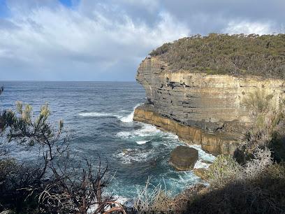
Tasman National Park Lookout
2.6 km
Experience the stunning vistas of the Tasman National Park Lookout, where breathtaking scenery and nature's beauty come together in Tasmania.
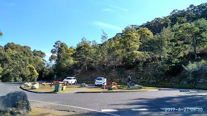
Tasmans Arch
3.3 km
Explore the stunning Tasman's Arch, a natural wonder in Tasmania that showcases breathtaking coastal views and unique geological formations.
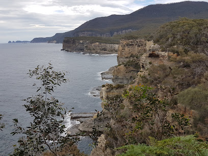
Cliffs Lookout Point
3.3 km
Discover the breathtaking Tasman Arch Track in Eaglehawk Neck, Tasmania, a stunning scenic spot featuring natural arches, rugged cliffs, and the Southern Ocean.
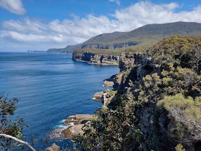
Waterfall Bay Track Trail Head
3.3 km
Discover the stunning landscapes of Waterfall Bay Track in Tasmania, a hiker's paradise with breathtaking coastal views and serene bushland trails.
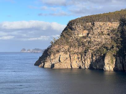
Devils Kitchen
3.4 km
Experience the breathtaking views and natural wonders at Devils Kitchen, a must-visit tourist attraction on Tasmania's stunning Tasman Peninsula.
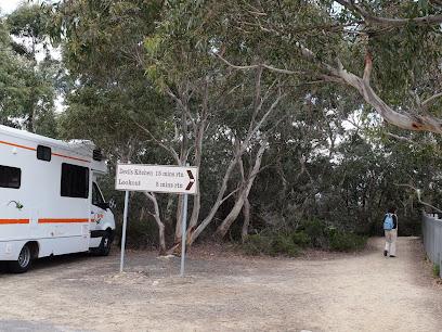
Waterfall Bay Lookout
4.6 km
Experience the stunning views and natural beauty of Waterfall Bay Lookout, a highlight of Tasman National Park in Tasmania, Australia.
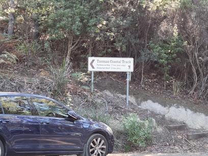
Waterfall Bluff Lookout
5.6 km
Experience breathtaking views and tranquility at Waterfall Bluff Lookout, a scenic gem in Tasmania perfect for nature lovers and adventurers.
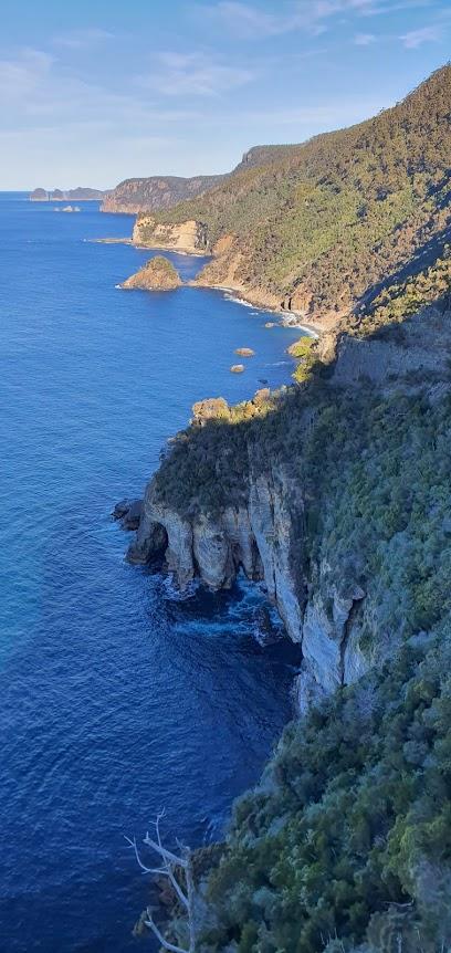
Tasmanian Chocolate Foundry
6.5 km
Discover the magic of chocolate at the Tasmanian Chocolate Foundry, where local flavors meet artisanal craftsmanship in a delightful experience.

Tasmanian Devil Unzoo
6.7 km
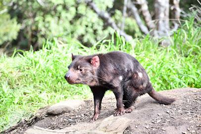
Explore the Tasmanian Devil Unzoo, where wildlife meets conservation in a stunning natural setting in Tasmania.
Essential places to dine
Blue Seal Seafood Shack
0.4 km
Discover authentic Tasmanian seafood delights at Blue Seal Seafood Shack—your go-to spot for delicious fish and chips in Eaglehawk Neck.

Lufra Bistro
1.1 km
Experience Tasmania's culinary delights at Lufra Bistro with stunning ocean views and locally sourced flavors.

Lufra Hotel and Apartments
1.1 km
Experience breathtaking views and exceptional comfort at Lufra Hotel and Apartments in Eaglehawk Neck, Tasmania – your gateway to adventure!

Doo-lishus
2.5 km
Discover authentic Australian flavors at Doo-lishus in Eaglehawk Neck—where Tasmanian cuisine meets stunning coastal views.
Little Norfolk Bay Bistro & Chalets
6.2 km
Savor fresh Tasmanian seafood at Little Norfolk Bay Bistro & Chalets while enjoying serene self-catering accommodations amidst stunning natural beauty.

Fish Lips Cafe & Accommodation
6.3 km
Discover the charm of Fish Lips Cafe & Accommodation in Taranna - where delicious food meets cozy comfort amidst Tasmania's breathtaking scenery.

The Fox and Hounds Restaurant
13.3 km
Experience delightful dining at The Fox and Hounds Restaurant in Port Arthur, where local flavors meet stunning scenery.

On the Bay Restaurant
14.4 km
Experience exquisite Tasmanian cuisine with breathtaking views at On the Bay Restaurant in Port Arthur.

1830 Restaurant and Bar, Port Arthur
15.3 km
Discover exceptional dining at 1830 Restaurant and Bar, where history meets culinary artistry in Port Arthur.

Commandants Table Restaurant
15.5 km
Discover authentic Tasmanian flavors at Commandants Table Restaurant in Port Arthur - a delightful dining experience amidst stunning scenery.

Nubeena Tavern
16.9 km
Discover Tasmanian culinary delights at Nubeena Tavern - where local flavors meet warm hospitality.

The Cannery
17.2 km
Discover the culinary delights of Dunalley at The Cannery, where fresh local ingredients meet exquisite flavors in a charming setting.

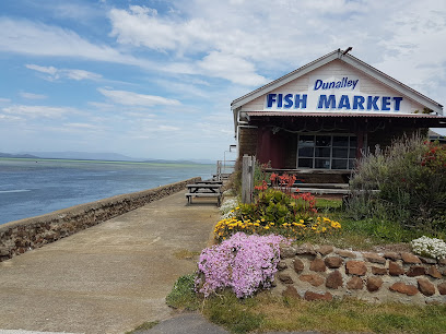
Dunalley Seaside Fish & Chips
17.3 km
Savor fresh seafood at Dunalley Seaside Fish & Chips while enjoying stunning Tasmanian coastal views.
Lucky Ducks Cafe
17.4 km
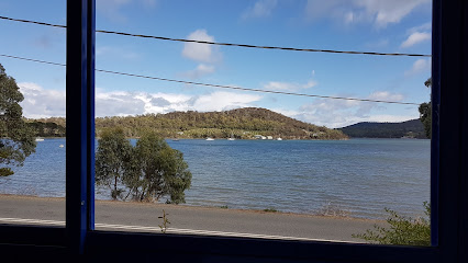
Discover Lucky Ducks Cafe in Nubeena - where delicious meals meet stunning views of Parsons Bay in Tasmania's serene landscape.
McHenry Distillery
17.9 km
Discover McHenry Distillery: A Premier Tasmanian Destination for Craft Spirits and Scenic Tasting Experiences.

Markets, malls and hidden boutiques
Port Arthur General Store & Takeaways
14.6 km
Discover the charm of Port Arthur General Store & Takeaways, where local goods meet delicious fast food in the heart of Tasmania's historic landscape.

Port Arthur Historic Site Gift Shop
15.3 km
Explore the Port Arthur Historic Site Gift Shop for unique souvenirs reflecting Tasmania's rich heritage and stunning natural beauty.

Natural Horse World Store - Shop online anytime or by appointment.
17.0 km
Explore the Natural Horse World Store in Tasmania for premium equestrian gear and expert advice to enhance your riding experience.

IGA Everyday Nubeena
17.2 km
Discover fresh local produce and quality groceries at IGA Everyday Nubeena, your essential stop during your Tasmanian adventure.

IGA X-Press Nubeena (Seabreeze)
17.6 km
Discover a culinary haven at IGA X-Press Nubeena, where local and Japanese groceries meet in Tasmania's charming supermarket.

South East Tasmania Salvos Thrift Shop
29.0 km
Explore the vibrant South East Tasmania Salvos Thrift Shop for unique finds and support local charitable initiatives while enjoying budget-friendly shopping.
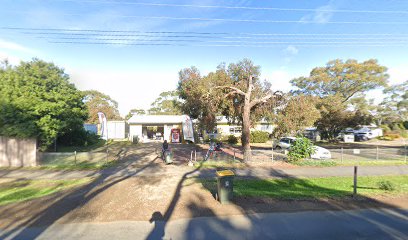
Fancy Fabric
30.5 km
Explore Fancy Fabric in Dodges Ferry, Tasmania, where creativity comes alive with a stunning selection of fabrics and crafting supplies.
Eco by design Gifts
37.6 km
Discover Eco by Design Gifts in Tasmania, where sustainable shopping meets unique craftsmanship, perfect for eco-conscious travelers.
Seven Mile Beach Store
38.4 km
Explore the charming Seven Mile Beach Store for local groceries and delightful coffee in Tasmania's beautiful beachside community.
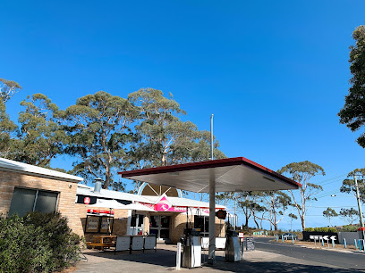
Runway News
39.7 km
Discover a world of reading at Runway News, Hobart International Airport's premier magazine store for travelers.

Tasmania & Beyond
39.7 km
Discover the essence of Australia at Tasmania & Beyond, your go-to souvenir store at Hobart International Airport.

WILDspace Creations
42.2 km
Explore the artistic heart of Tasmania at WILDspace Creations, where unique handmade gifts and local crafts await every visitor.

Create&Wonder
49.4 km
Explore the enchanting world of Create&Wonder Toy Store, where imagination comes to life with a unique selection of toys for all ages.

Tasmanian Lavender Gifts
50.3 km
Immerse yourself in the fragrant world of Tasmanian Lavender Gifts at Salamanca Market, where local craftsmanship meets aromatic beauty.

Sashiko Design
50.3 km
Discover unique fashion accessories and handcrafted gifts at Sashiko Design, a charming gift shop in Hobart's Salamanca Arts Centre.

Essential bars & hidden hideouts
The Fox and Hounds Historic Hotel
13.3 km
Discover the historic charm of The Fox and Hounds Hotel in Port Arthur, Tasmania—a perfect blend of heritage and hospitality for every traveler.
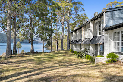
NINCH CIDER
16.6 km
Discover the artisanal flavors of Tasmania at NINCH CIDER, a unique cider bar offering handcrafted beverages in a picturesque setting.

Dunalley Hotel
17.1 km
Experience the warmth of Tasmanian hospitality at Dunalley Hotel, a charming pub with local flavors and an inviting atmosphere.

Diggers Kitchen
17.5 km
Experience the authentic taste of Tasmania at Diggers Kitchen, where delicious meals meet warm hospitality in Nubeena.

Midway Point Tavern
40.1 km
Experience the warmth of Tasmanian hospitality at Midway Point Tavern, where local flavors and a vibrant atmosphere await every visitor.

The Birdcage Bar
49.6 km
Experience the vibrant atmosphere and exquisite cocktails at The Birdcage Bar in Hobart, a beloved local gem for tourists and locals alike.

The Story Bar
50.2 km
Discover the vibrant flavors of Tasmania at The Story Bar, where exceptional drinks meet stunning waterfront views in Hobart.

Evolve Spirits Bar
50.3 km
Discover unique spirits and a captivating atmosphere at Evolve Spirits Bar in Hobart, Tasmania - a must-visit for every traveler.

Frogmore Creek Wine Bar
50.3 km
Discover the elegance of Tasmanian wines at Frogmore Creek Wine Bar, where local flavors meet a captivating atmosphere.

The Salamanca Whisky Bar
50.4 km
Discover the charm of The Salamanca Whisky Bar in Battery Point, Tasmania, offering an exquisite selection of whiskies in a cozy, speakeasy-style ambiance.

The Den Salamanca
50.4 km
Experience the vibrant atmosphere and exquisite flavors at The Den Salamanca, Hobart's premier cocktail bar and restaurant for every occasion.

IXL Long Bar
50.4 km
Discover IXL Long Bar in Hobart - where exquisite cocktails, live music, and vibrant energy create an unforgettable nightlife experience.

The Brick Factory
50.4 km
Experience the vibrant atmosphere and local flavors at The Brick Factory, Hobart's premier pub for food, music, and good times.

Grape Food and Wine Bar
50.4 km
Experience the best of Tasmanian wines and delightful tapas at Grape Food and Wine Bar, a lively hub for food lovers in Hobart.

Jack Greene Bar
50.4 km
Experience the vibrant atmosphere and gourmet offerings at Jack Greene Bar, a premier destination for drinks and delicious food in Tasmania.

Nightclubs & after hour spots
Tasman Ex-Service’s Club
17.6 km
Experience the authentic Tasmanian hospitality at the Tasman Ex-Service’s Club, a community hub in Nubeena offering great food and local events.

Qantas Club Hobart
39.6 km
Discover comfort and tranquility at Qantas Club Hobart, your perfect airport lounge getaway in Tasmania.

Insomnia Fridays
50.6 km
Discover the heart of Hobart's nightlife at Insomnia Fridays, where music, dance, and vibrant energy collide.

Muse Nightclub
50.6 km
Discover the electrifying nightlife at Muse Nightclub in Hobart, a top destination for dancing and socializing with locals and fellow travelers.

Observatory Bar
50.6 km
Experience the lively nightlife of Hobart at Observatory Bar, a vibrant venue with stunning waterfront views and a dynamic atmosphere.
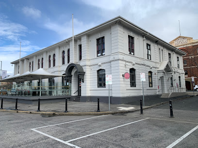
Isobar
50.6 km
Discover Isobar, Hobart's vibrant bar with stunning waterfront views and expertly crafted cocktails, perfect for a night out in Tasmania.

Mobius Lounge Bar
50.6 km
Discover the vibrant nightlife at Mobius Lounge Bar in Hobart, where innovative cocktails and a stylish atmosphere create unforgettable memories.

Members' Lounge
50.7 km
Experience the serene ambiance of Hobart's Members' Lounge, a perfect retreat for relaxation and local flavors.

Athenaeum Club
50.8 km
Discover the Athenaeum Club in Hobart, a historic social hub that blends culture, community, and comfort.
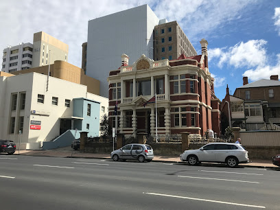
Mango Bar & Karaoke
51.0 km
Experience vibrant nightlife at Mango Bar & Karaoke in Hobart, where great drinks and karaoke fun come together for an unforgettable evening.

Lounge Bar
51.0 km
Discover the vibrant nightlife of Hobart at Lounge Bar, where stylish ambiance meets lively entertainment and exquisite cocktails.

The Grand Poobah
51.1 km
Discover the vibrant nightlife of Hobart at The Grand Poobah, where great drinks and karaoke fun create unforgettable memories.

Men's Gallery Hobart
51.2 km
Discover the lively nightlife at Men's Gallery Hobart, an adult entertainment club offering vibrant performances and a welcoming atmosphere in Tasmania.

Altar
51.2 km
Discover Altar, Hobart's vibrant bar and live music venue, where local talent meets a lively atmosphere for an unforgettable nightlife experience.

Temple
51.2 km
Immerse yourself in Hobart's nightlife at Temple, a premier night club known for its vibrant atmosphere and unforgettable experiences.


