From Eve
Know before you go
Hi, I'm Eve. Here are a few practical things to know before exploring Mesa Trail.
Local know-how to help you travel smarter and make the most of every moment.
Hike, run, or ride along Boulder's scenic Mesa Trail, a foothills escape with Flatirons views and connections to countless adventures.
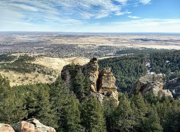
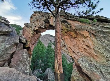
The Mesa Trail, nestled in Boulder, Colorado, offers a scenic escape along the foothills beneath the iconic Flatirons. This versatile trail caters to hikers, runners, and equestrians, winding through forests and meadows with connections to numerous canyon trails.
Opening times, essentials, and a few local tips gathered into one calmer, easier-to-scan planning section.
Hi, I'm Eve. Here are a few practical things to know before exploring Mesa Trail.
Local know-how to help you travel smarter and make the most of every moment.
Walking
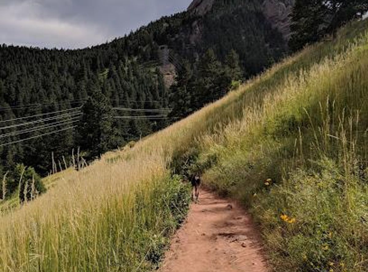
From the South Mesa Trailhead, the trail immediately crosses South Boulder Creek. Follow the well-marked path as it heads north, steadily climbing through grasslands with views of Eldorado Canyon and the Flatirons. The trail crosses several other trails before entering a ponderosa pine forest. No fees are required for accessing the trail on foot.
Public Transport
Several City of Boulder Open Space and Mountain Parks (OSMP) Trailheads are accessible by bus. From downtown Boulder, take the SKIP bus to get close to trailheads in the foothills. Check the RTD (Regional Transportation District) website for specific routes and schedules. A single fare for a local bus is typically around $3. From the bus stop, follow the signs to the trailhead.
Driving
From Denver, take US-36 West towards Boulder. Exit at McCaslin Boulevard and turn left, then turn right onto CO-170/Marshall Road. Follow Marshall Road west through the intersection with CO-93. The South Mesa Trailhead is on the right, 1.7 miles west of this junction. Parking at the South Mesa Trailhead requires a fee for vehicles not registered in Boulder County. A daily parking permit costs $5.
Use Tower Bridge as your starting point for nearby food, family ideas, nightlife, and more local discoveries.

Explore expert travel guides, compare and book tours, experiences, hotels, and more—all from the palm of your hand. Download now for seamless trip planning wherever your wanderlust takes you.
Discover Denver: Where Outdoor Adventure Meets Urban Culture in the Heart of Colorado.
Tell me more about Denver