From Eve
Know before you go
Hi, I'm Eve. Here are a few practical things to know before exploring Shrine Pass.
Local know-how to help you travel smarter and make the most of every moment.

Discover breathtaking views and rich history at Shrine Pass, a year-round destination for outdoor enthusiasts in the heart of the Colorado Rockies.
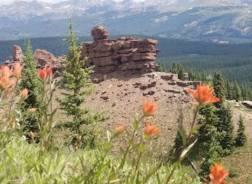
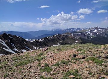
Shrine Pass, located in the Sawatch Range of central Colorado, offers stunning views and a rich history. Once a crucial route over the Gore Mountains, it's now a haven for hikers, bikers, and nature enthusiasts seeking panoramic vistas and wildflower meadows.
Opening times, essentials, and a few local tips gathered into one calmer, easier-to-scan planning section.
Hi, I'm Eve. Here are a few practical things to know before exploring Shrine Pass.
Local know-how to help you travel smarter and make the most of every moment.
Driving
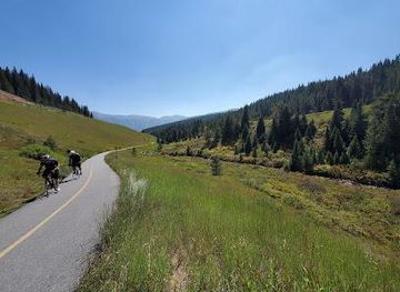
From Vail, take I-70 East to Exit 190 for Vail Pass. Park at the rest area and turn right onto Shrine Pass Road (Forest Road 709). The road is unpaved and can be rough, so a 4WD vehicle is recommended. There is no fee to access Shrine Pass, but dispersed camping is available along the road.
Public Transport
From Denver International Airport, you can take a shuttle or bus to Vail. From Vail Transportation Center, free bus service is available throughout the town. However, there is no public transportation that goes directly to Shrine Pass. You can take the free bus to Vail Pass Rest Area and hike or bike from there.
Use Tower Bridge as your starting point for nearby food, family ideas, nightlife, and more local discoveries.

Explore expert travel guides, compare and book tours, experiences, hotels, and more—all from the palm of your hand. Download now for seamless trip planning wherever your wanderlust takes you.
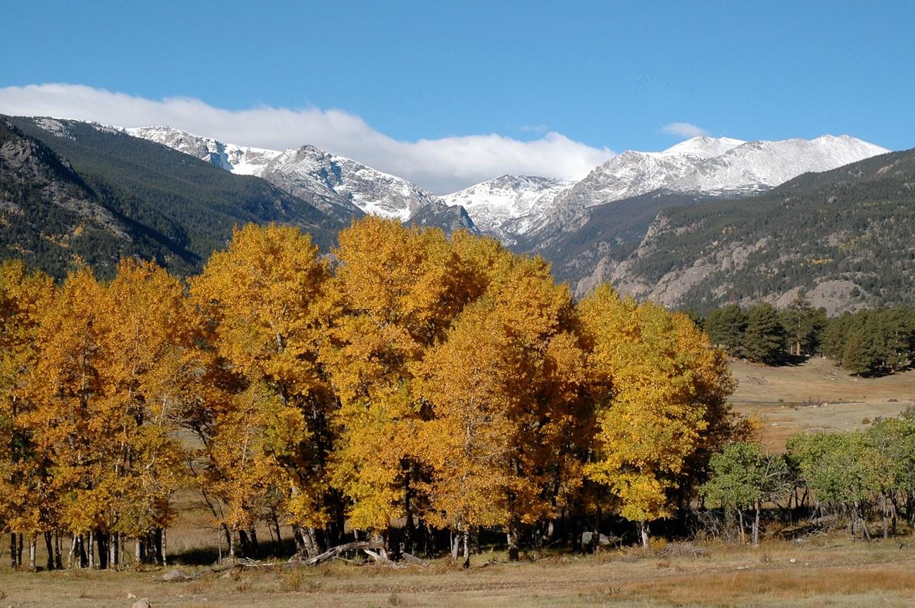
Discover the awe-inspiring beauty and endless adventures of Colorado’s Rocky Mountains, a stunning destination for nature lovers and thrill-seekers alike.
Tell me more about Rocky Mountains