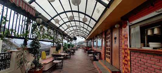
Discover the Enchantment of Himachal Pradesh: A Traveler's Haven
Explore the breathtaking landscapes, rich culture, and adventure-filled experiences in Himachal Pradesh, India's stunning Himalayan gem.
Nestled in the majestic Himalayas, Himachal Pradesh offers tourists a stunning blend of natural beauty, rich culture, and tranquility. From picturesque valleys and serene lakes to vibrant local markets and ancient temples, this region is a treasure trove for adventurers and culture seekers alike. Immerse yourself in the local lifestyle, savor delicious Himachali cuisine, and explore the breathtaking landscapes, making your visit unforgettable.
A brief summary to Map of India
- 8CHR+G4P, Bhardwaj Rd, Kumarsain, Himachal Pradesh, 172029, IN
Local tips
- Visit during the shoulder seasons of spring and autumn for pleasant weather and fewer crowds.
- Try local dishes at family-run eateries for an authentic taste of Himachali cuisine.
- Carry cash, as some remote areas may not accept cards or have ATM access.
- Dress in layers, as temperatures can vary widely during the day, especially in mountainous regions.
- Engage with locals to learn about hidden gems and off-the-beaten-path attractions.
Getting There
-
Car
If you are driving from Shimla, take the NH5 highway towards Kumarsain. The journey is approximately 60 km and takes about 1.5 hours. Follow the signs for Kumarsain, and once you reach the town, look for Bhardwaj Rd. The Map of India is located at the coordinates 31.328839° N, 77.440318° E. Make sure to keep an eye out for local landmarks to ensure you are on the right path.
-
Bus
To travel by bus from Shimla to Kumarsain, head to the Shimla ISBT (Inter-State Bus Terminal) and catch a local bus heading towards Kumarsain. The fare is around INR 80 and the journey takes about 2 hours. Once you arrive at Kumarsain, you can either walk or take a local auto-rickshaw to Bhardwaj Rd where the Map of India is located. The auto-rickshaw fare should not exceed INR 30.
-
Taxi
For a more comfortable option, you can hire a taxi from Shimla to Kumarsain. This option will cost you around INR 1200 to INR 1500, depending on the taxi service. The journey will take about 1.5 hours. Once you reach Kumarsain, ask the driver to take you to Bhardwaj Rd to visit the Map of India.
-
Motorbike
If you're feeling adventurous, you can rent a motorbike in Shimla. Head out on the NH5 towards Kumarsain. The ride is about 60 km and will take approximately 1.5 hours. Ensure you have the necessary gear and a valid license. Follow local traffic regulations and enjoy the scenic ride. Once in Kumarsain, navigate to Bhardwaj Rd to find the Map of India.
Discover more about Map of India
Iconic landmarks you can’t miss
Himalayan Nature Park Kufri
30.7 km
Experience the enchanting Himalayan Nature Park Kufri, a serene wildlife haven with breathtaking views and diverse flora and fauna in the heart of Himachal Pradesh.
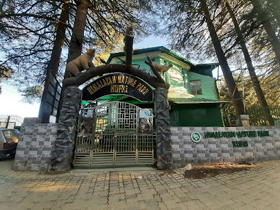
La Himalaya
32.7 km
Explore the breathtaking Himalayas with La Himalaya, your trusted travel operator in Shimla, offering unforgettable adventures and personalized tours.
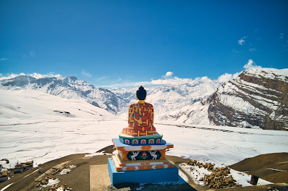
Chehni Kothi
34.1 km
Explore the architectural marvel of Chehni Kothi in Himachal Pradesh, where history, spirituality, and nature beautifully intertwine.
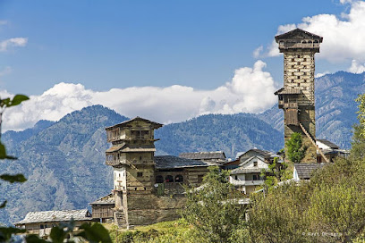
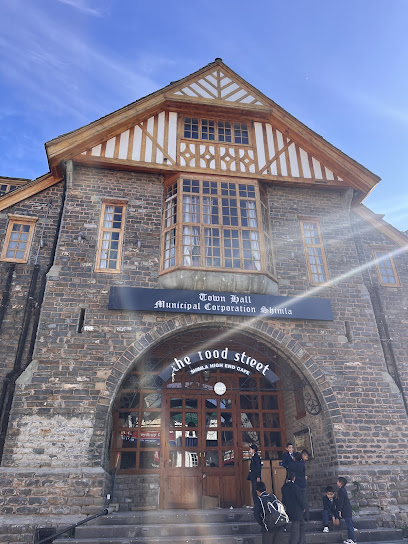
Wood Street Cafe
35.1 km
Experience the cozy ambiance and delicious cuisine at Wood Street Cafe, a must-visit spot in Shimla's vibrant Lakkar Bazar.
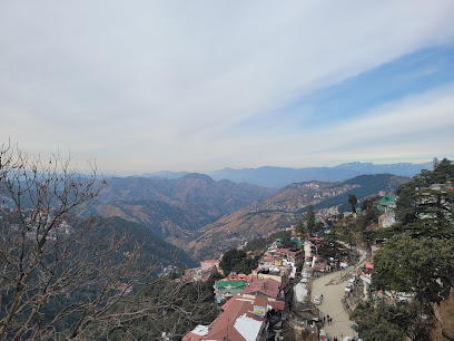
Jakhoo Temple Ropeway Station
35.1 km
Discover the enchanting Jakhoo Temple and breathtaking views from the Ropeway in Shimla, a spiritual and scenic journey in the Himalayas.
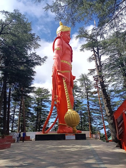
Jakhu Temple Park
35.1 km
Explore the tranquil beauty of Jakhu Temple Park in Shimla, where nature meets spirituality amidst stunning Himalayan views.
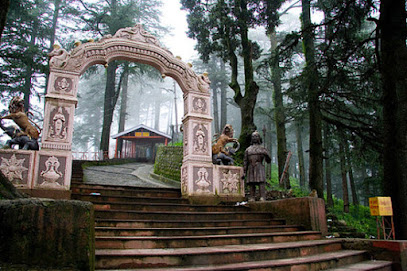
Lakkar bazar
35.1 km
Explore Lakkar Bazar, Shimla's vibrant market for exquisite wooden handicrafts and a taste of local culture amidst stunning mountain views.
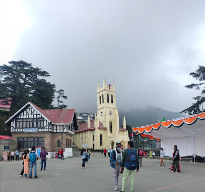
Jakhu Hill
35.2 km
Experience the breathtaking views and spiritual serenity of Jakhu Hill, the highest peak in Shimla, surrounded by the beauty of the Himalayas.
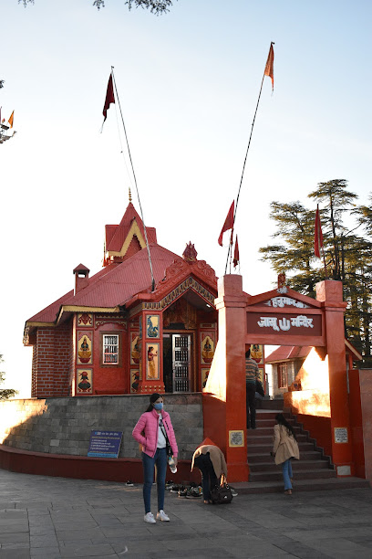
Jakhoo Temple
35.2 km
Discover the spiritual heart of Shimla at Jakhoo Temple, a majestic site dedicated to Lord Hanuman with stunning views and rich cultural heritage.
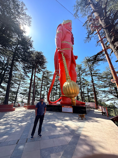
Shimla Top
35.2 km
Discover stylish women's clothing in the heart of Shimla at Shimla Top, where local culture meets modern fashion.
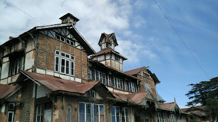
High In Himalayas
35.2 km
Discover the enchanting beauty of Shimla and the Himalayas with High In Himalayas, your trusted travel agency for personalized adventures.
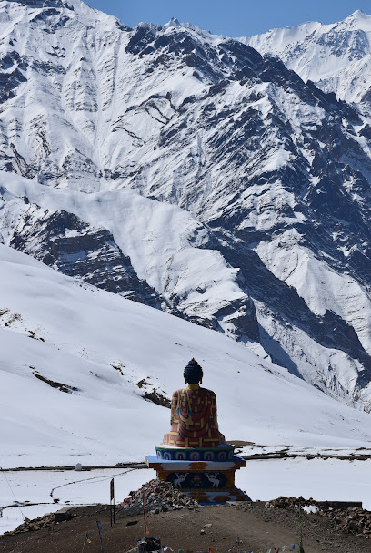
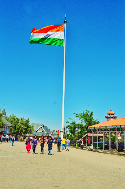
Indian Flag
35.4 km
Experience the pride of India at The Ridge in Shimla, where the majestic Indian Flag flies high amidst breathtaking mountain vistas.
Ice Skating Rink
35.4 km
Discover the excitement of ice skating in Shimla's enchanting setting, perfect for thrill-seekers and family fun.
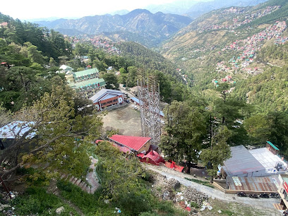
Historical pole
35.4 km
Experience the rich history and breathtaking views at Shimla's Historical Pole, a must-visit landmark for every traveler exploring Himachal Pradesh.
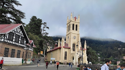
The Ridge
35.5 km
Experience the breathtaking views and vibrant culture at The Ridge, the heart of Shimla, where history and natural beauty converge.
Unmissable attractions to see
Narkanda
8.1 km
Experience the majestic beauty of Narkanda in Himachal Pradesh, where adventure meets tranquility amidst the Himalayan landscapes.
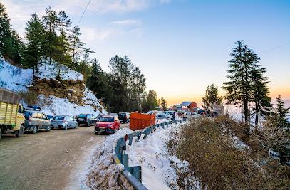
Naingiri mountain the historical place
19.2 km
Discover Naingiri Mountain: Where history meets breathtaking scenery in the heart of Himachal Pradesh.

Karsog Valley
23.1 km
Discover the serene beauty of Karsog Valley: A hidden Himalayan gem with ancient temples, lush orchards, and breathtaking trekking trails.
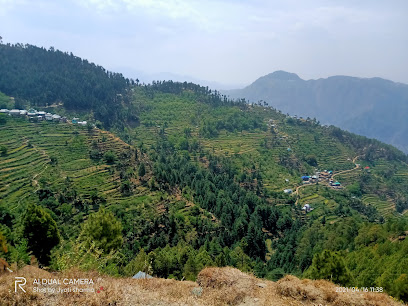
Kotkhai Fort
25.3 km
Explore Kotkhai Fort: A historical landmark in Himachal Pradesh with stunning views and rich cultural heritage.
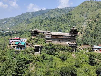
Kunda THE Place Of Heaven
26.4 km
Discover Kunda THE Place Of Heaven in Himachal Pradesh: A serene escape with breathtaking views and a perfect 5-star experience in nature's lap.

Kufri Fun World
30.3 km
Experience the thrill of adventure and family fun at Kufri Fun World in Himachal Pradesh, a must-visit amusement park for tourists.
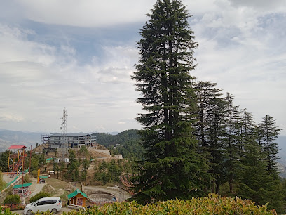
Watch Tower
31.3 km
Discover the breathtaking views and rich history of the Watch Tower in Shimla, a must-visit tourist attraction in Himachal Pradesh.
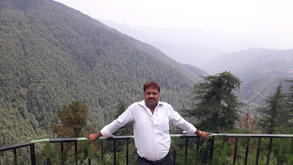
Green Valley View
31.5 km
Experience breathtaking views and serene landscapes at Green Valley View, a must-visit tourist attraction in Himachal Pradesh.
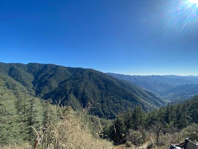
Shimla Water Catchment Wildlife Sanctuary
32.0 km
Explore the lush landscapes and diverse wildlife of Shimla Water Catchment Wildlife Sanctuary, a hidden gem for nature lovers and hiking enthusiasts.
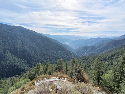
Sound Water Fall
32.9 km
Experience the serenity and natural beauty of Sound Water Fall in the heart of Shimla, a must-visit destination for every nature lover.
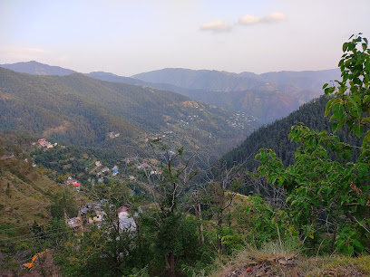
Majestic Himalaya Advanture
33.0 km
Explore the Himalayas with Majestic Himalaya Advanture: Trekking, rafting, and nature's tranquility in the heart of Tirthan Valley.
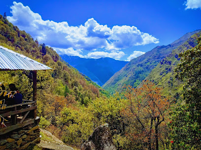
Pabbar Valley
33.1 km
Discover the untouched beauty of Pabbar Valley: Trekking, fishing, and serene escapes in Himachal's hidden paradise.
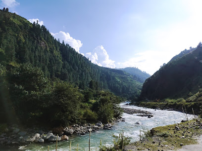
Chulbul shingham
34.7 km
Discover the serene beauty of Chulbul Shingham, a hidden tourist attraction in Shimla, perfect for nature lovers and adventure seekers alike.
View point shimla
34.7 km
Discover the stunning beauty of the Himalayas at Shimla's View Point, a perfect retreat for nature lovers and photographers alike.
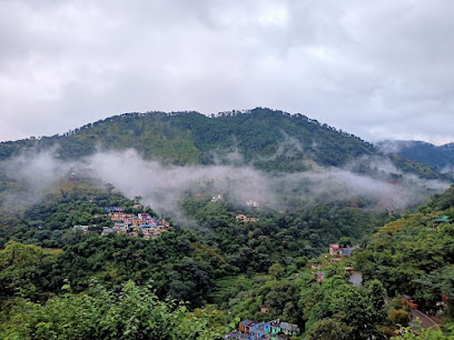
Temple end Ropeway, Jakhu
35.1 km
Discover breathtaking views and spiritual tranquility at the Temple End Ropeway in Jakhu, Shimla – a must-visit tourist attraction in the Himalayas.
Essential places to dine
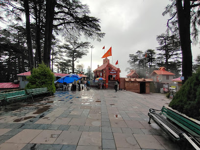
Himalayan Diaries cafe 360
23.9 km
Experience delightful fast food amidst stunning mountain vistas at Himalayan Diaries Cafe 360 in Himachal Pradesh.
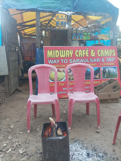
The Restaurant
30.1 km
Experience exquisite dining at The Restaurant in Shimla's Wildflower Hall, where culinary artistry meets breathtaking Himalayan views.
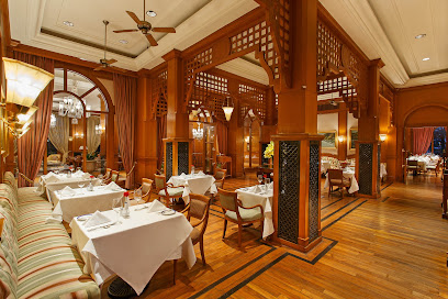
Himalayan Restaurant New kufri
30.3 km
Experience authentic Himalayan cuisine amidst breathtaking mountain views at Himalayan Restaurant New Kufri.
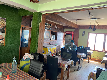
The EBR Cafe Shimla
34.4 km
Discover delightful flavors at The EBR Cafe Shimla - your go-to spot for coffee, fresh salads, and vegetarian delights in Himachal Pradesh.
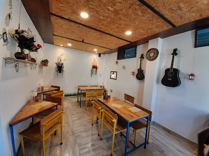
The Corner Cafe Sanjauli Shimla - Best Cafe / Best Food / Best View / Indian Food in Shimla
34.6 km
Experience the best of Shimla at The Corner Cafe – where exquisite flavors meet breathtaking views.
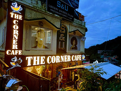
Cafe Under Tree
35.2 km
Discover tranquility at Cafe Under Tree in Shimla - where delicious vegetarian meals meet stunning natural beauty.
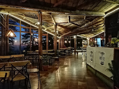
Tripti
35.2 km
Experience the essence of Shimla through delightful vegetarian cuisine at Tripti Restaurant on The Mall.
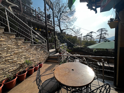
Sita Ram And Son
35.3 km
Discover authentic Himachali vegetarian cuisine at Sita Ram And Son, where tradition meets taste in Shimla's vibrant Lakkar Bazar.
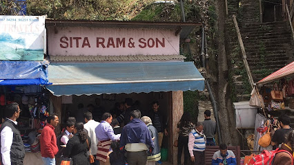
Prshad Shop
35.3 km
Discover fast food delights at Prshad Shop in Shimla - perfect for quick bites near Jakhu Temple amidst stunning Himalayan views.
Green Leaf
35.3 km
Experience delightful family dining at Green Leaf in Shimla – where every meal comes with breathtaking views and warm hospitality.

abc
35.3 km
Experience authentic Punjabi vegetarian cuisine in the heart of Shimla's bustling Lakkar Bazar.
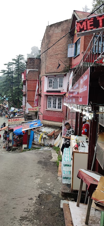
Shaan-E-Himachal Tea Stall with Chinese Restaurant
35.4 km
Experience authentic Chinese cuisine at Shaan-E-Himachal Tea Stall, nestled in Lakkar Bazar, Shimla's vibrant dining scene.
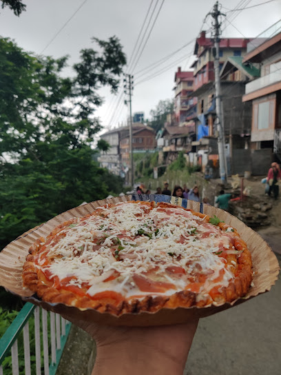
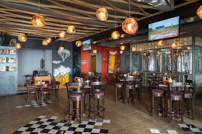
The Brew Estate
35.4 km
Experience exquisite craft beer and delightful cuisine at The Brew Estate in Shimla's picturesque Lakkar Bazar.
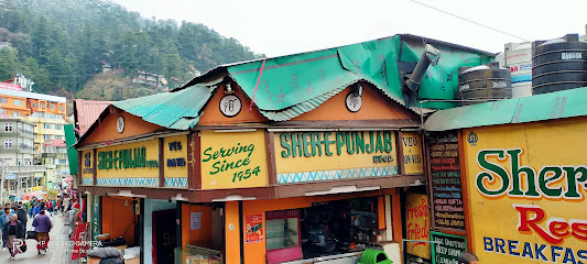
Sher E Punjab ( Regd.)
35.4 km
Discover the flavors of Punjab at Sher E Punjab in Shimla - where every dish tells a story!
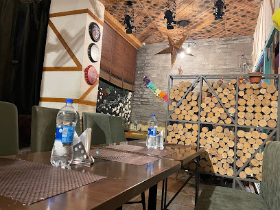
Loveena Restaurant
35.5 km
Experience authentic Himachali cuisine at Loveena Restaurant in Shimla - where tradition meets taste.
Markets, malls and hidden boutiques
Modern Choice Shopping
13.8 km
Explore Modern Choice Shopping in Nankhari for a unique blend of traditional and contemporary clothing in the heart of Himachal Pradesh.

Unique Assents
34.2 km
Discover unique shopping at Unique Assents, a vibrant outlet mall in Shimla offering diverse brands and delightful local experiences.
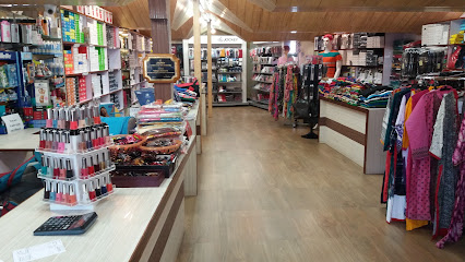
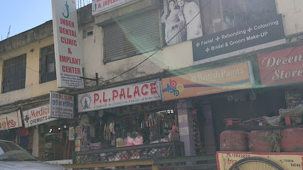
PL Palace
34.3 km
Explore PL Palace in Shimla for unique gifts and cosmetics that celebrate local artistry and beauty.
Souvenirs
35.1 km
Discover a world of unique gifts and traditional crafts at Souvenirs in Shimla's lively Lakkar Bazar.

Himani General Store
35.1 km
Discover the heart of Mandri at Himani General Store, your essential stop for snacks, souvenirs, and local culture in Himachal Pradesh.

D I T Solutions
35.1 km
Explore cutting-edge technology and exceptional service at D I T Solutions, your trusted computer store in the scenic town of Shimla.

Mahaveer Canteen
35.2 km
Sip on the finest teas at Mahaveer Canteen in Shimla – a peaceful haven for tea enthusiasts amidst breathtaking natural beauty.
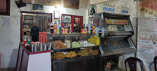
Unique Fashion's
35.2 km
Explore Unique Fashion's in Shimla for trendy clothing, elegant jewelry, and stylish sunglasses in the heart of Lakkar Bazar.

Ravilochana wooden Handicrafts
35.3 km
Explore Ravilochana Wooden Handicrafts in Shimla for exquisite wooden souvenirs and a taste of Himachal Pradesh's rich artisanal heritage.

Shanus Regal Ware Gift Emporium
35.3 km
Explore the vibrant Shanus Regal Ware Gift Emporium in Shimla for unique gifts, toys, and novelties that reflect the beauty of Himachal Pradesh.

Himachal Store
35.3 km
Explore Himachal Store in Shimla for unique women's clothing that reflects the rich culture and vibrant style of Himachal Pradesh.

AR Himalayan Crafts
35.4 km
Discover Authentic Himachali Fashion and Handicrafts at AR Himalayan Crafts in Shimla's Lakkar Bazar.

Simla Shawls by FW
35.4 km
Explore the finest collection of traditional shawls at Simla Shawls by FW, where local craftsmanship meets modern elegance in Shimla.
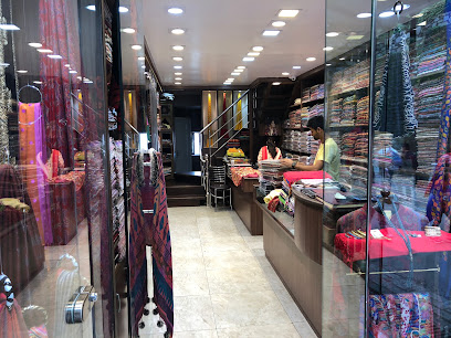
Levi's Exclusive Store
35.5 km
Shop at Levi's Exclusive Store in Shimla for trendy denim and casual wear, perfectly blending style with the picturesque charm of the Himalayas.
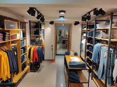
Shimla Authentic Wear
35.5 km
Explore the essence of Himachali culture at Shimla Authentic Wear, your go-to gift shop for traditional handicrafts and unique souvenirs.
Essential bars & hidden hideouts
The Cavalry Bar
30.1 km
Discover the elegance of The Cavalry Bar in Shimla, where luxury meets stunning Himalayan views and exquisite beverages.
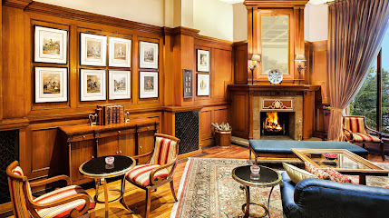
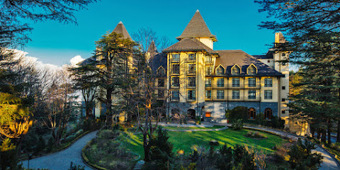
Wildflower Hall, An Oberoi Resort, Shimla
30.1 km
Discover the luxurious Wildflower Hall in Shimla, where breathtaking nature meets exceptional hospitality for an unforgettable experience.
NEXT LEVEL CLUB CAFE LOUNGE BAR AND DISCOTHIQUE- Bar/Disco/Club/Cafe in Shimla
33.7 km
Discover Shimla's nightlife at Next Level Club Cafe Lounge Bar, where vibrant parties and a relaxing atmosphere come together in the heart of the Himalayas.
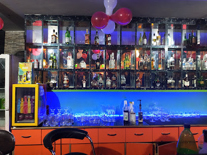
Mehfil Bar & Restaurant
34.0 km
Experience the vibrant nightlife of Shimla at Mehfil Bar & Restaurant, where delicious cuisine meets a lively atmosphere.
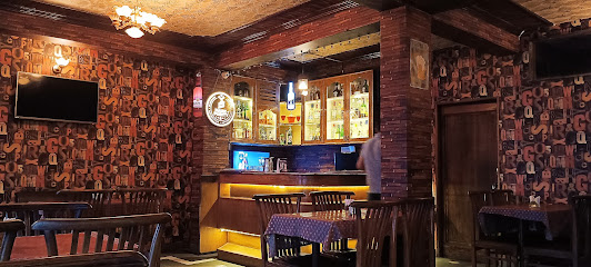
Jakhu Vibes Shimla
35.3 km
Discover the perfect blend of comfort and nature at Jakhu Vibes Shimla, your ideal bed and breakfast in the heart of Himachal Pradesh.
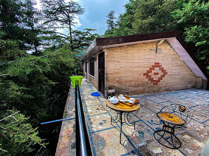
Topaz Restro Bar
35.4 km
Discover the vibrant Topaz Restro Bar in Shimla, offering stunning views, an extensive drink menu, and a lively atmosphere perfect for relaxation.
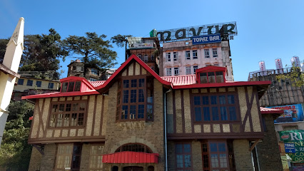
Pyramid Microbrewery | Café | Lounge | Bar, Shimla
35.5 km
Discover the lively ambiance of Pyramid Microbrewery in Shimla, where craft beer meets delectable cuisine and vibrant entertainment.
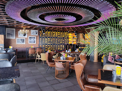
Cloud Nine Bar
35.5 km
Experience the serene ambiance and stunning views at Cloud Nine Bar, a perfect retreat for relaxation in the heart of Shimla.
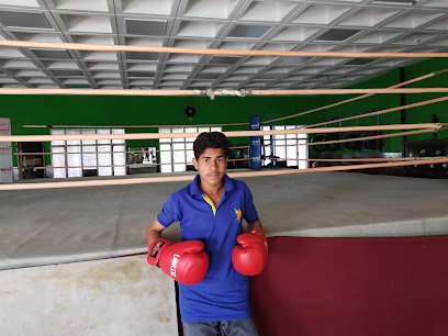
SPLASH RESTAURANT AND BAR MALL
35.6 km
Discover the vibrant flavors and enchanting ambiance at Splash Restaurant and Bar Mall in Shimla, a perfect retreat for every traveler.
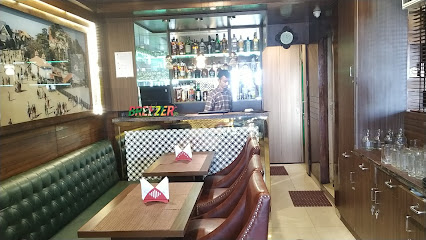
La Glace Bar and Restaurant
35.6 km
Experience the vibrant atmosphere and exquisite cuisine at La Glace Bar and Restaurant in Shimla, where every meal is a celebration.
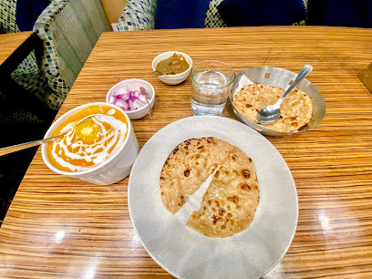
Wine and Beer Shop
35.6 km
Discover the finest wines and craft beers at Shimla's Wine and Beer Shop, where every sip tells a story of local heritage and international flair.

bar and cafe beer shop
35.6 km
Discover the perfect blend of local brews and scenic views at the Bar and Cafe Beer Shop in Shimla's vibrant Middle Bazar.

100 pipers English wine and beer shop
35.6 km
Discover the finest local wines and craft beers at 100 Pipers English Wine and Beer Shop in Shimla, where every sip tells a story.
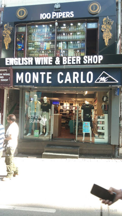
Shimla Brewing Company- Best Microbrewery & Nightclub in Shimla
35.7 km
Discover the best of Shimla at Shimla Brewing Company, where craft beers, delicious food, and vibrant nightlife meet in a cozy atmosphere.
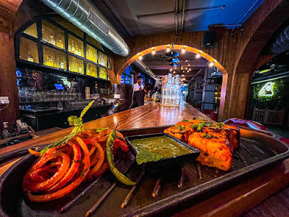
SkyBar Shimla - Cocktails & Shisha- Best Herbal Hookah Rooftop Lounge in Shimla
35.7 km
Experience breathtaking views and delightful cocktails at SkyBar Shimla, the ultimate rooftop lounge destination in Himachal Pradesh.
