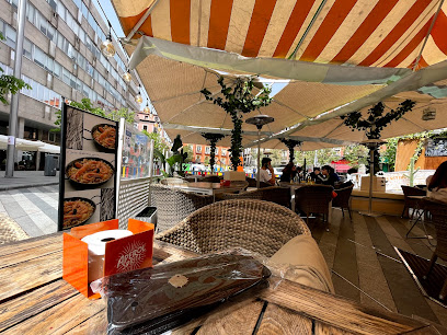
Discover the Majestic Orographic Map of Spain
Explore the breathtaking Orographic Map of Spain in Madrid, a historical landmark showcasing the country’s stunning geography.
The Mapa Orográfico de España is a breathtaking historical landmark in Madrid that showcases the country's stunning geography through intricate relief mapping. A must-visit for geography enthusiasts and tourists alike!
A brief summary to Mapa orográfico de España
- P.º de Camoens, Madrid, Moncloa - Aravaca, Madrid, 28008, ES
- Visit website
- Monday 12 am-12 am
- Tuesday 12 am-12 am
- Wednesday 12 am-12 am
- Thursday 12 am-12 am
- Friday 12 am-12 am
- Saturday 12 am-12 am
- Sunday 12 am-12 am
Local tips
- Visit early in the morning or late in the afternoon for the best light for photographs.
- Bring a picnic to enjoy in the surrounding park area.
- Consider joining a guided tour to learn more about the history and significance of the map.
- Check local events for any educational programs or exhibitions taking place in the park.
Getting There
-
Car
If you are traveling by car in the Canary Islands, you will first need to take a flight to Madrid, as the Mapa orográfico de España is located in Moncloa - Aravaca, Madrid. Once you arrive at Madrid-Barajas Airport, rent a car and follow the signs to the M-40. Take the M-40 towards A-6 in the direction of A Coruña. Continue on A-6 until you reach the exit for Moncloa. Follow the signs to P.º de Camoens, where you will find the Mapa orográfico de España. Expect to pay for parking in the area.
-
Public Transportation
To reach the Mapa orográfico de España using public transportation, you will need to fly from the Canary Islands to Madrid. Upon arrival at Madrid-Barajas Airport, take Line 8 of the metro towards Nuevos Ministerios. At Nuevos Ministerios, transfer to Line 10 towards Puerta del Sur and get off at the Moncloa station. From Moncloa, it is a short walk to P.º de Camoens. Be sure to check the metro schedule, as it may vary, and keep in mind that a single metro ticket from the airport to the city costs approximately €5.
Discover more about Mapa orográfico de España
Iconic landmarks you can’t miss
Estatua de Francisco de Goya y Lucientes
0.7 km
Explore the Estatua de Francisco de Goya y Lucientes, a stunning tribute to the legendary artist in the heart of Madrid's Moncloa - Aravaca district.
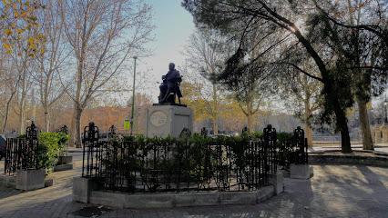
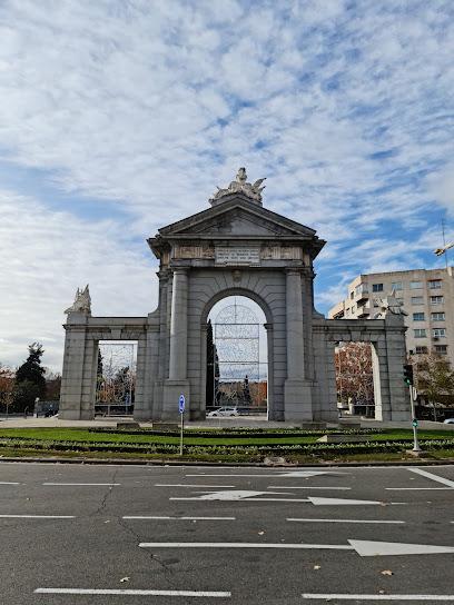
Latin Gate
1.0 km
Explore the captivating history and architectural beauty of Latin Gate, a must-visit landmark in the heart of Madrid.
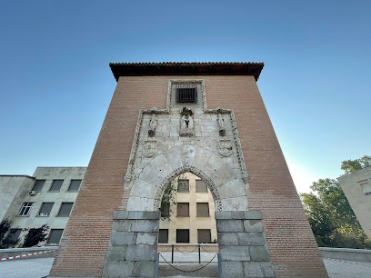
Paseo de la fama de Madrid
1.3 km
Explore the Paseo de la Fama de Madrid, a vibrant walkway celebrating the stars of music, film, and entertainment in the heart of Spain's capital.
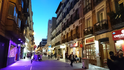
Porta de Sant Vicent
1.4 km
Explore the stunning Porta de Sant Vicente, a historic monument in Madrid that reflects the city's rich architectural heritage and serene surroundings.
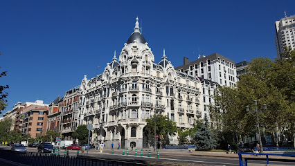
Casa Gallardo
1.4 km
Discover the charm of Casa Gallardo in Madrid, a cultural haven blending stunning architecture and serene surroundings for an unforgettable experience.
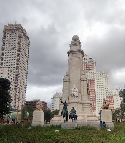
Pl. de España
1.4 km
Discover the dynamic Moncloa - Aravaca in Madrid, where history meets modernity amidst beautiful parks and bustling streets.
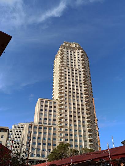
Torre de Madrid
1.4 km
Explore Torre de Madrid: A historical skyscraper showcasing Madrid's architectural legacy and offering stunning city views amidst vibrant cultural surroundings.
Barceló Torre de Madrid
1.4 km
Discover the elegance of Barceló Torre de Madrid, a luxurious 5-star hotel offering stunning city views and a perfect base for exploring Madrid's vibrant culture.

Monumento a Don Quijote de La Mancha
1.5 km
Discover the grandeur of the Monument to Don Quijote de La Mancha in Plaza de España, a cultural gem in the heart of Madrid.
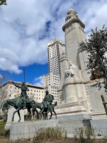
Monumento Cervantes
1.5 km
Explore the Monumento Cervantes in Madrid, a stunning tribute to the literary giant Miguel de Cervantes, surrounded by beautiful gardens and rich history.
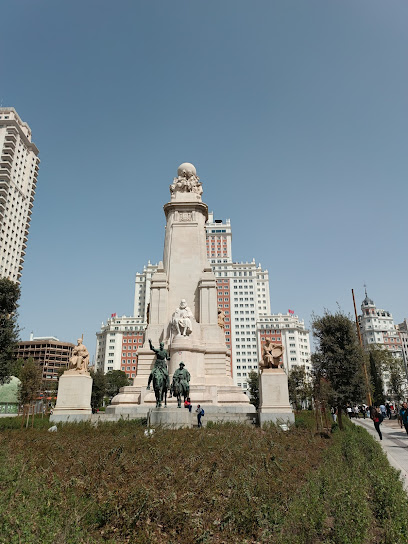
Hotel Riu Plaza España
1.5 km
Discover the heart of Madrid at Hotel Riu Plaza España, where luxury meets convenience in a vibrant cityscape.
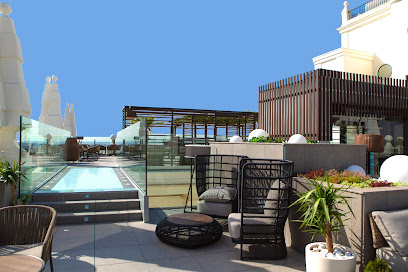
Plaza de España
1.5 km
Explore the historic Plaza de España, a stunning landmark in Madrid featuring impressive architecture, vibrant gardens, and rich cultural heritage.
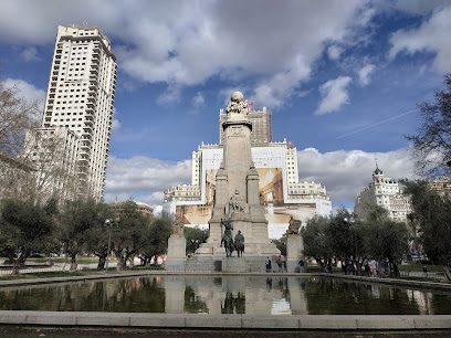
Pl. de España, 9
1.5 km
Experience the vibrant atmosphere and historical significance of Plaza de España, a must-visit landmark in the heart of Madrid.
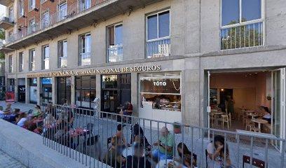
Edificio España
1.5 km
Discover the architectural splendor of Edificio España in Madrid's vibrant Centro district, a landmark that beautifully blends history and modernity.
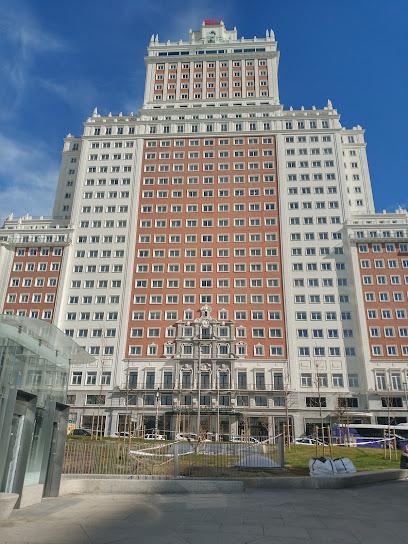
Pl. de España, 4, 7
1.6 km
Discover the beauty and history of Plaza de España, an iconic square in Madrid that celebrates Spanish culture and architecture.
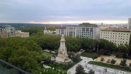
Unmissable attractions to see
Parque del Oeste
0.1 km
Explore the lush landscapes and historic charm of Parque del Oeste, a serene park in the heart of Madrid, perfect for relaxation and cultural experiences.
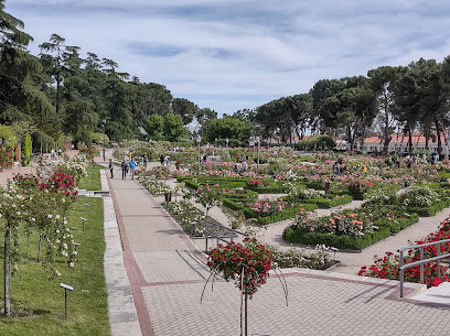
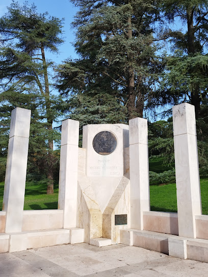
Monumento a Miguel Hernández
0.2 km
Explore the Monumento a Miguel Hernández in Madrid, a stunning tribute to the legacy of one of Spain's most cherished poets, set in a beautiful cultural landscape.
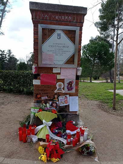
Placa a Cristina Ortiz «La Veneno»
0.2 km
Explore Placa a Cristina Ortiz, a vibrant tribute to La Veneno in Madrid, celebrating diversity and the LGBTQ+ community amidst the city's charm.
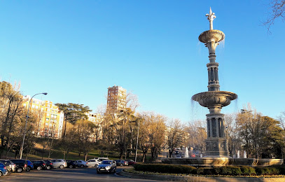
Fountain of Juan de Villanueva
0.3 km
Discover the enchanting Fountain of Juan de Villanueva in Madrid, a stunning tribute to architectural beauty amid lush gardens.
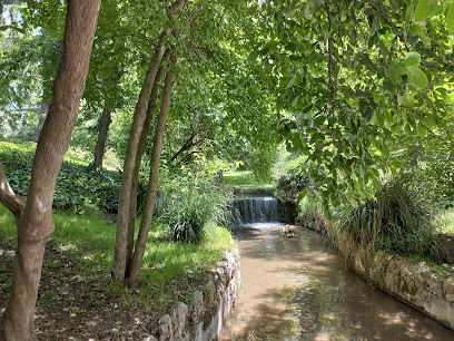
Manantial de la salud del arroyo de San Bernardino
0.3 km
Explore the tranquil beauty of Manantial de la Salud del Arroyo de San Bernardino, a hidden gem in Madrid, perfect for relaxation and historical exploration.
La Bombilla Park
0.3 km
Experience the tranquility of La Bombilla Park, a lush green oasis in Madrid perfect for relaxation, picnics, and outdoor activities.
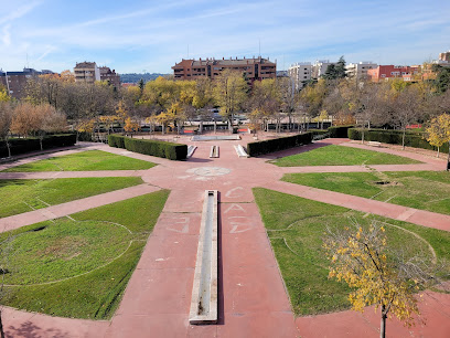
Oeste Park
0.4 km
Experience the tranquility of Oeste Park, a lush green oasis in Madrid, perfect for relaxation, picnics, and scenic views amidst urban life.
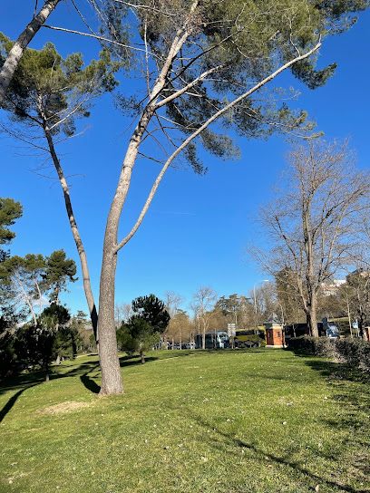
"El Abuelo" Cedro del Atlas del Parque del Oeste
0.5 km
Discover the serene beauty of El Abuelo Cedro del Atlas in Parque del Oeste, a must-see natural monument in Madrid that offers tranquility and stunning landscapes.
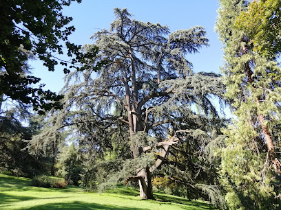
P.º del Pintor Rosales
0.5 km
Discover the serene charm of P.º del Pintor Rosales, a peaceful promenade in Madrid perfect for relaxation, cultural exploration, and stunning city views.
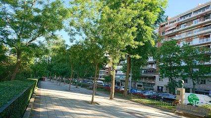
Cementerio de la Florida
0.5 km
Discover the serene beauty and artistic heritage of Cementerio de la Florida, a hidden gem in Madrid's Moncloa - Aravaca district.
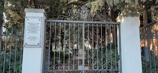
Teleférico en Rosales
0.5 km
Discover breathtaking views of Madrid from the Rosales Gondola, a scenic lift offering stunning panoramas of the city's landmarks and lush landscapes.
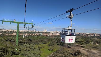
Madrid Cableway • Rosales Station
0.6 km
Discover Madrid's stunning skyline and lush parks aboard the Teleférico, a scenic cable car ride offering breathtaking views and unforgettable experiences.
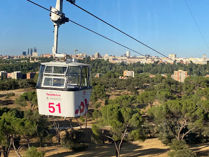
Árbol monumental - Ginkgo Biloba
0.6 km
Experience the stunning Ginkgo Biloba tree in Parque del Oeste, a historic and beautiful natural attraction in the heart of Madrid.
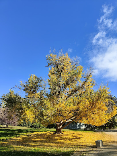
Río Manzanares - Pasarela de Almuñecar
0.6 km
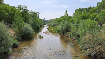
Explore the serene beauty of Río Manzanares - Pasarela de Almuñecar, a tranquil park in Madrid perfect for relaxation and outdoor activities.
Monumento al General José Gervasio Artigas
0.6 km
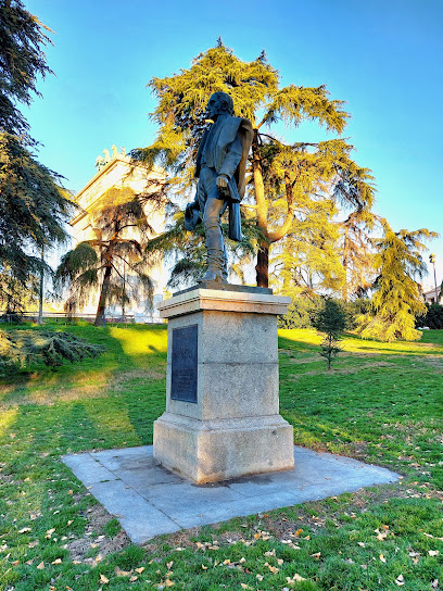
Discover the majestic Monumento al General José Gervasio Artigas in Madrid, honoring a South American hero of independence and leadership.
Essential places to dine
Best Restaurant
0.8 km
Discover authentic Mediterranean cuisine at Best Restaurant in Madrid - where every dish tells a story.

Gandarío
1.0 km
Discover Gandarío: A delightful tapas bar in Chamberí where authentic Spanish flavors meet a warm atmosphere.
El Jardín Secreto Madrid
1.4 km
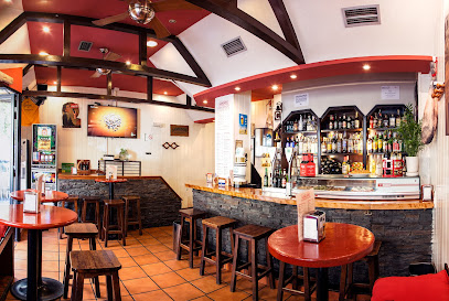
Experience culinary magic in a serene garden setting at El Jardín Secreto Madrid - where every meal feels like a special occasion.
Tripea
1.5 km
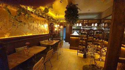
Experience the vibrant fusion of Asian, Peruvian, and Spanish cuisines at Tripea in Madrid's Chamberí district.

Ginkgo Restaurante & Sky Bar
1.6 km
Experience unparalleled dining with stunning views at Ginkgo Restaurante & Sky Bar in Madrid's vibrant city center.

Nice To Meet You Restaurant & Lounge
1.6 km
Discover luxurious Mediterranean dining at Nice To Meet You Restaurant & Lounge in Madrid, where flavor meets elegance.
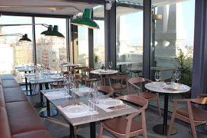
Parrilla el Gaucho | Gran Vía 72
1.7 km
Experience authentic Argentinian cuisine at Parrilla el Gaucho in Madrid, where expertly grilled meats and vibrant flavors await you.

La Mi Venta
1.7 km
Experience the essence of Spain at La Mi Venta: savor traditional Castilian cuisine and grilled delights in the heart of Madrid.
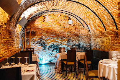
GastroVía 61 – Hotel Mayorazgo
1.7 km
Experience the best of Mediterranean and Spanish cuisine at GastroVía 61 in Madrid's historic center.

Mesón Bar de Tapas El Jamón de Gran Vía
1.8 km
Savor authentic Spanish tapas at Mesón Bar de Tapas El Jamón de Gran Vía, where vibrant flavors meet Madrid's lively dining culture.
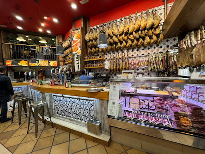
Txapela Gran Via
1.8 km
Discover the vibrant flavors of Basque cuisine at Txapela Gran Via, where authentic tapas and a lively atmosphere await you in the heart of Madrid.
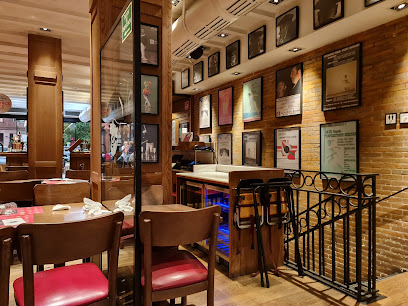
La Musa Malasaña
1.9 km
Experience culinary innovation at La Musa Malasaña - where traditional Spanish flavors meet global influences in a vibrant setting.
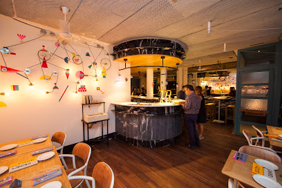
EatMyTrip Brunch & Dinner Madrid
1.9 km
Discover the vibrant flavors of Madrid at EatMyTrip - where brunch meets culinary creativity in the heart of Malasaña.
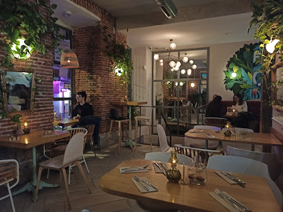
Ochenta Grados Malasaña
1.9 km
Discover innovative flavors at Ochenta Grados Malasaña, where global cuisine meets local ingredients in a vibrant Madrid setting.
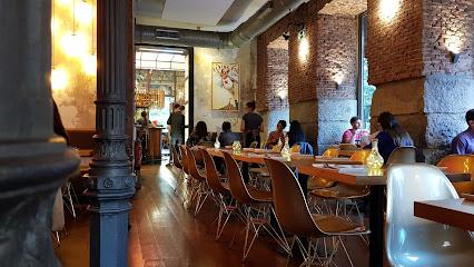
Casa Maravillas
1.9 km
Experience authentic grilled cuisine in the heart of Madrid at Casa Maravillas - where flavor meets tradition.
Markets, malls and hidden boutiques
CASA Guzman el bueno
1.0 km
Explore CASA Guzman el bueno in Madrid for unique gifts, exquisite home goods, and delightful garden furniture in a charming atmosphere.

Tienda ILUNION - Hospital Clínico San Carlos
1.1 km
Discover unique souvenirs and local crafts at Tienda ILUNION, a charming gift shop in Madrid's Hospital Clínico San Carlos, reflecting the city's vibrant culture.

Centro Comercial Príncipe Pío
1.2 km
Discover the vibrant shopping and entertainment experience at Centro Comercial Príncipe Pío, Madrid's premier shopping destination.

Mini Shop Madrid
1.4 km
Explore the chicest fashion finds at Mini Shop Madrid - your go-to clothing store in the heart of the city for unique styles and trendy outfits.

Happy Market Madrid
1.5 km
Explore Happy Market Madrid for unique souvenirs, local crafts, and a vibrant shopping experience in the heart of the city.

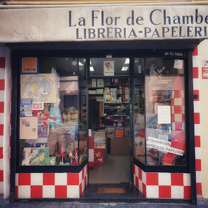
La Flor de Chamberí
1.6 km
Explore La Flor de Chamberí - a charming gift shop in the heart of Madrid's Chamberí district, brimming with unique collectibles and artisan treasures.
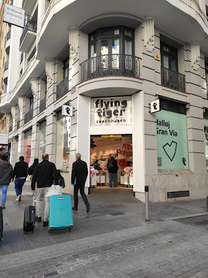
Flying Tiger Copenhagen
1.7 km
Explore Flying Tiger Copenhagen in Madrid for unique gifts, toys, and home goods that bring creativity and fun to your shopping experience.
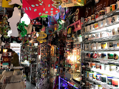
Popland
1.8 km
Explore the whimsical charm of Popland in Madrid, a novelty store filled with unique souvenirs, playful toys, and colorful posters that spark joy.
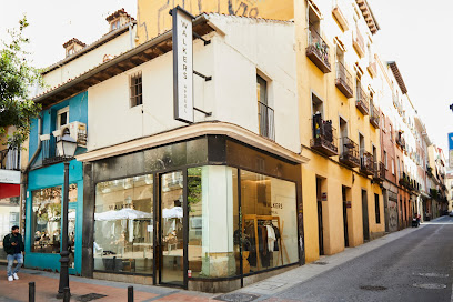
Walkers Appeal
1.8 km
Explore Walkers Appeal in Madrid for unique men's clothing that blends timeless style with modern flair, perfect for the fashion-savvy traveler.
From Madrid whith love.
1.9 km
Discover unique souvenirs and gifts in Madrid's heart at 'From Madrid with Love' on Gran Vía.
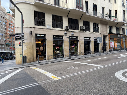
GF21 Madrid Concept Store
1.9 km
Explore the latest trends and local styles at GF21 Madrid Concept Store, a fashion haven in the heart of the vibrant Malasaña district.
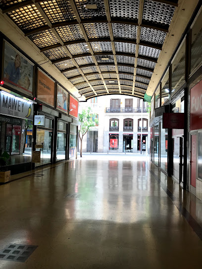
Gran Galería
1.9 km
Discover the vibrant shopping scene at Gran Galería, a must-visit destination in Madrid offering diverse shops and delightful dining experiences.
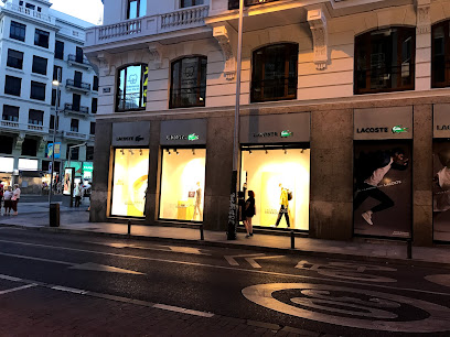
Lacoste
1.9 km
Explore Lacoste in Madrid for a perfect blend of style and comfort, featuring a wide range of fashionable clothing and accessories for everyone.
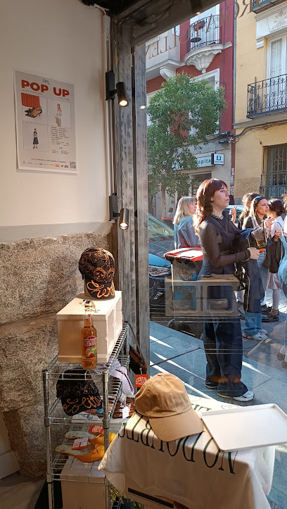
Amor de barrio
2.0 km
Explore Madrid's creativity at Amor de Barrio, where unique souvenirs and artistic designs come together to celebrate local culture.
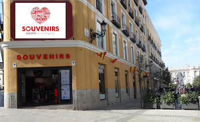
Madrid Souvenirs
2.0 km
Discover authentic Spanish gifts at Madrid Souvenirs, the perfect place for unique souvenirs to remember your trip to Madrid.
Essential bars & hidden hideouts
Sambhad cocktail bar
1.4 km
Experience exquisite cocktails and vibrant nightlife at Sambhad Cocktail Bar in the heart of Madrid, where every drink tells a story.

Pepa y Josefa
1.5 km
Discover the vibrant charm of Pepa y Josefa, a delightful bar in the heart of Madrid, offering an extensive drink menu and a welcoming atmosphere.

Vincci Rooftop Bar Gran Vía
1.8 km
Discover the stunning views and exquisite cocktails at Vincci Rooftop Bar Gran Vía, a must-visit destination in the heart of Madrid.

Diplodocus
1.8 km
Discover Madrid's nightlife at Diplodocus, a rock music club and bar offering an eclectic atmosphere and unforgettable live performances.
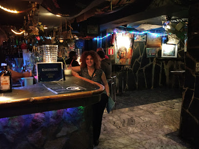
Espit Chupitos
1.8 km
Discover the vibrant nightlife of Madrid at Espit Chupitos, known for its creative shots and electric atmosphere, perfect for an unforgettable night out.

Destino Malasaña
1.8 km
Experience the vibrant nightlife of Madrid at Destino Malasaña, an eclectic pub in the heart of the trendsetting Malasaña district.
1862 Dry Bar
1.8 km
Discover the art of mixology at 1862 Dry Bar, Madrid's creative cocktail haven in the heart of the city.

Clandestino Gran Vía 55
1.9 km
Discover the vibrant nightlife of Madrid at Clandestino Gran Vía 55, where expertly crafted cocktails meet an inviting atmosphere.

Picnic
1.9 km
Discover Picnic, a vibrant bar in Madrid's Centro district, known for its eclectic decor, friendly staff, and affordable drinks, perfect for tourists!
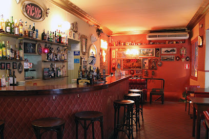
▷ GATO - Bar en Malasaña, Madrid
1.9 km
Discover GATO, an eclectic brewpub in the heart of Malasaña, Madrid, offering craft beers and delectable tapas in a vibrant atmosphere.

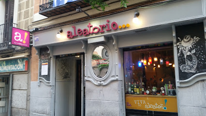
Aleatorio Bar
1.9 km
Experience the vibrant nightlife of Madrid at Aleatorio Bar, where delicious cocktails meet captivating performances in a cozy setting.
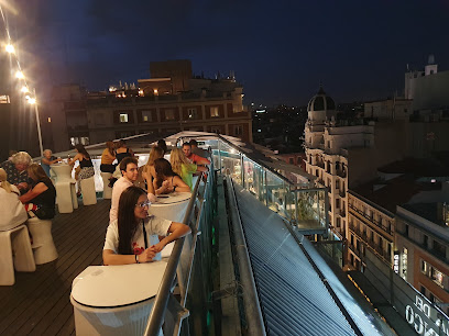
Bar Terraza Roof Top
1.9 km
Experience the magic of Madrid from above at Bar Terraza Roof Top, where stunning views and delicious cocktails await.
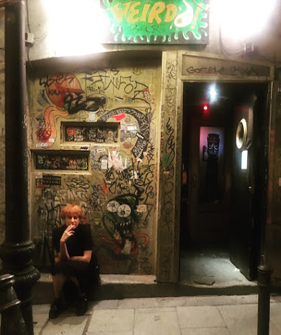
Weirdo Bar
1.9 km
Discover the vibrant and eclectic Weirdo Bar in Madrid, where creative cocktails meet a lively atmosphere for an unforgettable night out.
La Vía Láctea
2.0 km
Experience the vibrant nightlife of Madrid at La Vía Láctea, an iconic pub known for its lively atmosphere and extensive drink selection.

The Moon Terraza Cocktail Bar
2.1 km
Experience the vibrant nightlife of Madrid at The Moon Terraza Cocktail Bar, where stunning views meet handcrafted cocktails in a lively atmosphere.
