Medieval Ridge and Furrow at 36 Burkitt Walk, Cambridge
Explore the gently rolling medieval ridge and furrow earthworks at Cambridge, a living imprint of historic communal farming and England’s agrarian heritage.
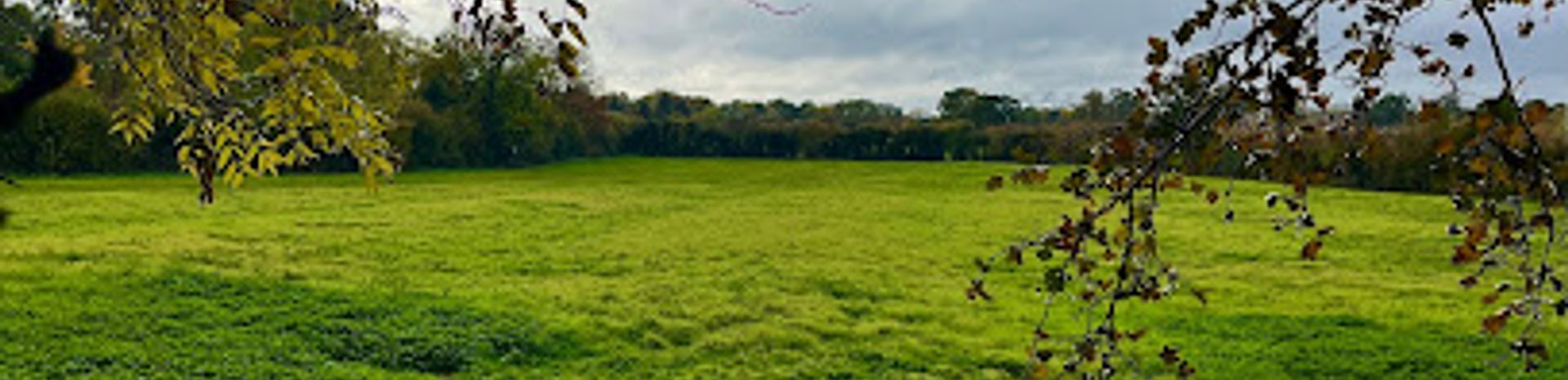
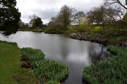
The Medieval Ridge and Furrow at 36 Burkitt Walk in Cambridge is a well-preserved example of historic agricultural earthworks. These undulating ridges and furrows are remnants of the open-field system of farming used from the Early Medieval period through to the 17th century. Visible as long, curved raised strips of earth, they reflect the communal ploughing methods that shaped much of England’s rural landscape during the Middle Ages.
A brief summary to Medieval Ridge and Furrow
- 36 Burkitt Walk, Cambridge, CB3 1TY, GB
- Duration: 0.5 to 2 hours
- Free
-
 Outdoor
- Mobile reception: 4 out of 5
Local tips
- Visit during early morning or late afternoon for the best light to highlight the ridge and furrow patterns.
- Wear sturdy footwear as the terrain is uneven due to the earthworks.
- Bring a camera to capture the unique textures and shadows created by the ridges.
- Combine your visit with nearby historical sites in Cambridge for a fuller understanding of the area's past.
For the on-the-go comforts that matter to you
- Seating Areas
- Information Boards
Getting There
-
Bus
Take the Stagecoach bus routes 1 or 7 from Cambridge city center, with a journey time of approximately 15-20 minutes. Buses run frequently during the day, and a single ticket costs around £2.50. The stop is a short walk from 36 Burkitt Walk. Note that service frequency may reduce on weekends.
-
Taxi
A taxi from Cambridge city center to 36 Burkitt Walk takes about 10 minutes depending on traffic. Expect to pay between £8 and £12. Taxis provide door-to-door convenience but may be subject to peak-time surcharges.
-
Walking
For active travelers, walking from central Cambridge is possible in about 45 minutes over mostly flat terrain. The route passes through residential areas and requires moderate fitness. Suitable for those wanting to combine exercise with sightseeing.
Medieval Ridge and Furrow location weather suitability
-
 Any Weather
-
 Clear Skies
-
 Mild Temperatures
-
 Rain / Wet Weather
Discover more about Medieval Ridge and Furrow
Origins and Agricultural Significance
The ridge and furrow pattern found at 36 Burkitt Walk represents an ancient method of ploughing dating back to the Early Medieval period, roughly from the 9th century onward. This system was integral to the open-field farming method, where land was divided into narrow strips farmed communally by villagers. Over time, repeated ploughing with non-reversible ploughs caused soil to accumulate in raised ridges, with furrows forming drainage channels between them. This design improved soil aeration and water runoff, allowing crops such as wheat to thrive even in wetter conditions.Distinctive Features and Layout
The ridges typically appear as elongated, slightly curved mounds, often described as having an inverted 'S' shape. This curvature resulted from the turning of oxen or horse teams at the end of each strip. The furrows between ridges served as natural drainage, critical in the often damp English climate. The size and spacing of the ridges corresponded to individual farming strips, which were units of land ownership and labor assessment during medieval times.Historical Context and Evolution
This ridge and furrow landscape reflects a communal agricultural system that dominated England before the widespread enclosure movement of the 16th to 18th centuries. Enclosure transformed open fields into privately owned, square-shaped plots, leading to the gradual disappearance of ridge and furrow patterns. The survival of these earthworks at Cambridge suggests the land was either left uncultivated, used for grazing, or otherwise preserved from modern ploughing.Preservation and Archaeological Importance
Ridge and furrow earthworks are among the most enduring archaeological features of medieval farming. Their preservation at 36 Burkitt Walk offers valuable insight into historic land use and medieval rural life. Such features are often protected as heritage landscapes, providing a tangible connection to England’s agrarian past. The site also contributes to understanding the transition from communal to enclosed farming practices.Visual and Environmental Experience
The undulating pattern of ridge and furrow creates a distinctive textured landscape, especially visible under low sunlight or after frost or snow. The gentle curves and repetitive waves of earth invite reflection on centuries of agricultural tradition. The site’s setting within Cambridge adds contrast between historic rural land use and the modern urban environment, enriching the visitor’s appreciation of landscape evolution.Broader Cultural Significance
Ridge and furrow fields symbolize the medieval community’s relationship with the land, illustrating social organization, labor division, and agricultural innovation. They are a physical record of centuries-old farming techniques that shaped much of England’s countryside. Preserved examples like those at Cambridge serve as educational resources and cultural heritage sites, connecting present-day observers with the rhythms of medieval rural life.Iconic landmarks you can’t miss
Castle Park
1.6 km
Historic green space featuring the Norman Cambridge Castle Mound with panoramic city views and tranquil parkland near the city centre.
Westminster College
1.7 km
Historic theological college blending Victorian architecture with contemporary faith education in Cambridge's academic heart.
Castle Mound: site of medieval Cambridge Castle
1.9 km
Explore Castle Mound, the grassy remnant of Cambridge’s medieval fortress with panoramic city views and centuries of rich history.
Magdalene Bridge
2.0 km
Historic cast-iron bridge over the River Cam, linking Cambridge’s academic heart with its ancient trading past.
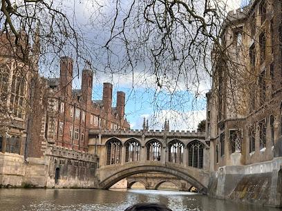
Bridge of Sighs
2.1 km
A Victorian Gothic covered bridge spanning the River Cam, linking history and beauty at St John's College, Cambridge.
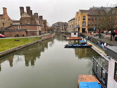
Jesus Lock
2.3 km
Historic Jesus Lock on the River Cam offers serene riverside charm and a unique glimpse into Cambridge's aquatic heritage.
The Old Schools
2.3 km
Historic university landmark at Trinity Lane, blending Gothic and classical architecture at the heart of Cambridge's academic tradition.
Senate House Hill
2.3 km
Historic Senate House Hill in Cambridge offers stunning views, iconic architecture, and a vibrant academic atmosphere at the heart of the university city.

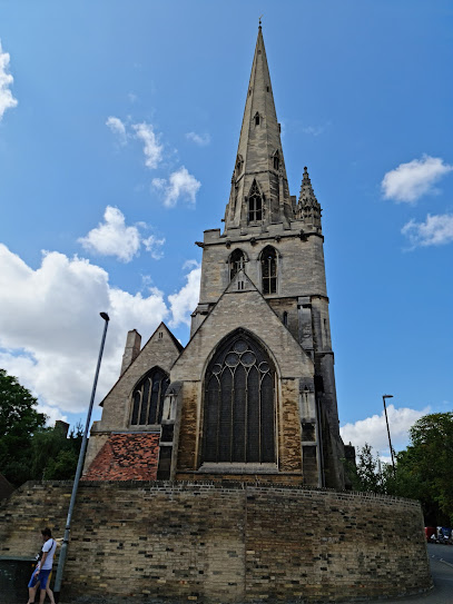
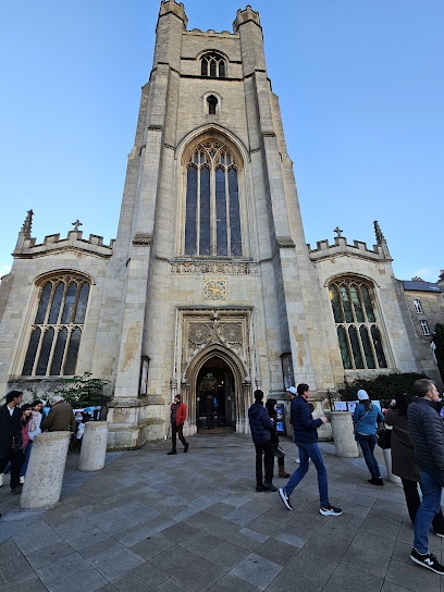
All Saints Church
2.6 km
Explore the architectural and spiritual beauty of All Saints Church, a historic gem in the heart of Cambridge, showcasing stunning Gothic design and tranquility.
Newnham House
2.6 km
Explore Newnham House: A Prestigious Landmark of Cambridge University's Academic Legacy.
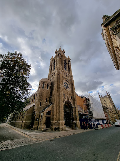
St Mark's Church
2.6 km
Explore the serene St Mark's Church in Newnham, a beautiful blend of history, architecture, and tranquility in the heart of the countryside.
Little St Mary's Church
2.6 km
Experience the serene beauty and historical significance of Little St Mary's Church, a must-visit Anglican church in the heart of Cambridge.
University Museum Of Zoology
2.6 km
Discover the rich biodiversity and fascinating zoological exhibits at the University Museum of Zoology, a top tourist attraction in Cambridge.
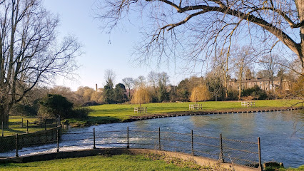
Sheep's Green
2.6 km
Discover the tranquility of Sheep's Green, Cambridge's hidden gem for nature lovers and those seeking peaceful outdoor experiences.
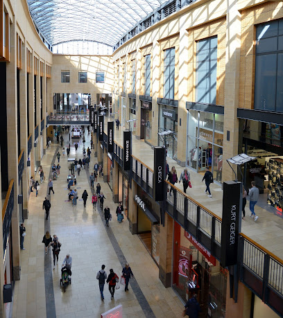
Grand Arcade
2.7 km
Explore Grand Arcade, a vibrant shopping center in Cambridge, featuring top brands, delightful restaurants, and a unique architectural design.
Unmissable attractions to see
The Crescent
1.2 km
A tranquil, modern residential neighborhood in Cambridge blending serene lakeside views with convenient city access.
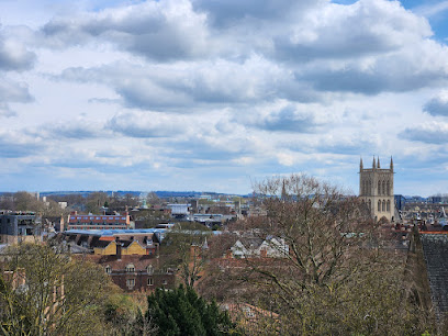
Castle Mound
1.9 km
Historic Norman motte offering panoramic views over Cambridge’s skyline and countryside from the city’s highest point.
Kettle's Yard
1.9 km
Discover Kettle's Yard, where modern art meets historic charm in a serene Cambridge home and gallery.
Museum of Cambridge
1.9 km
Discover the rich tapestry of Cambridgeshire’s everyday history in a charming 17th-century coaching inn just steps from the city centre.
Magdalene College
2.0 km
Discover Magdalene College, a serene riverside Cambridge gem blending medieval charm with academic heritage and stunning architecture.
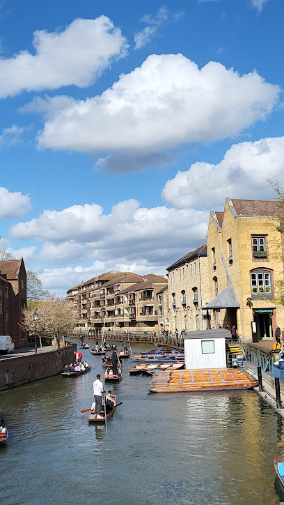
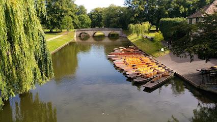
Scudamore's Punting Company
2.1 km
Glide through Cambridge's historic waterways aboard a traditional flat-bottomed punt, guided by knowledgeable locals or steering your own course.
Alexandra Gardens
2.1 km
A peaceful Cambridge haven with vibrant flowerbeds, unique playgrounds, and a welcoming community spirit for all ages.
Kitchen Bridge, St John's College
2.1 km
Historic Kitchen Bridge at St John's College, a serene stone span blending early 18th-century craftsmanship with Cambridge's timeless academic heritage.
Wren Library
2.1 km
Discover the historic Wren Library at Trinity College, Cambridge—home to rare manuscripts, stunning architecture, and centuries of intellectual heritage.
University of Cambridge
2.1 km
Explore the timeless grandeur and scholarly spirit of the University of Cambridge, a world-renowned seat of learning since 1209.
Garret Hostel Bridge
2.1 km
A sleek, historic footbridge in Cambridge offering stunning river views and a quirky local nickname.
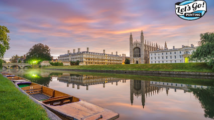
Lets Go Punting Cambridge
2.1 km
Discover Cambridge’s historic charm on a serene, expertly guided punting tour along the iconic River Cam.
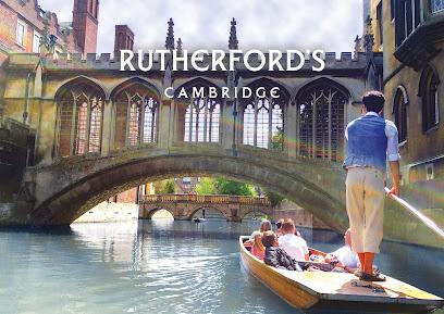
Rutherford's Punting Cambridge
2.1 km
Experience the enchanting beauty of Cambridge's waterways with Rutherford's Punting, offering guided tours and boat rentals for all visitors.
Scholars Punting
2.1 km
Experience Cambridge’s iconic colleges from a handcrafted punt with expert guides on the tranquil River Cam.
The Backs
2.1 km
A serene riverside stretch behind Cambridge’s historic colleges, blending stunning Gothic architecture with lush gardens and tranquil river views.
Essential places to dine
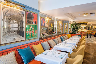
The Astronomer
0.3 km
Modern British dining meets warm hospitality in Cambridge’s stylish Eddington village beneath the Hyatt Centric Hotel.
Travellers Rest Beefeater
0.8 km
Traditional British pub and grill offering hearty steaks, breakfast, and a welcoming atmosphere in Cambridge’s Girton district.
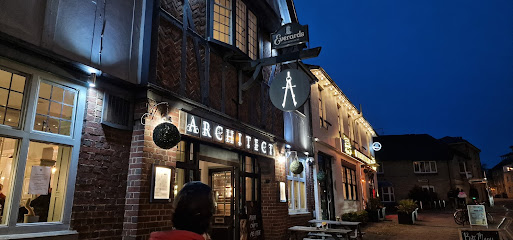
The Architect
1.8 km
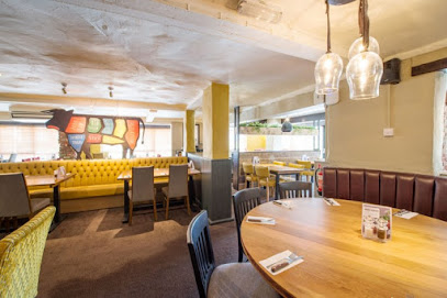
Cambridge’s vibrant gastropub serving classic fish & chips and pies with a modern, inclusive twist in a welcoming setting.
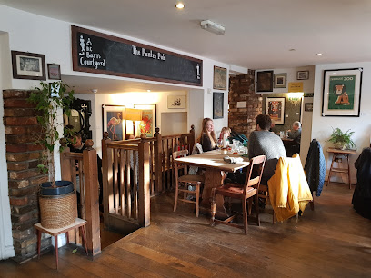
The Punter
1.8 km
A cozy gastropub blending classic British fare with quirky charm and a welcoming atmosphere in the heart of Cambridge.
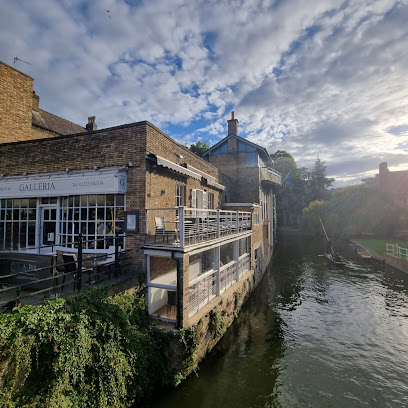
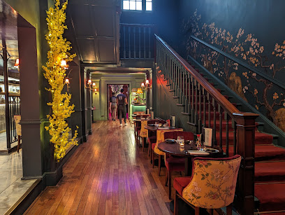
Galleria restaurant cambridge
2.1 km
Elegant continental dining with riverside views and romantic balconies in the heart of Cambridge’s historic center.
Las Iguanas - Cambridge
2.1 km
Experience a vibrant Latin American fiesta with bold flavors, lively cocktails, and riverside views at Las Iguanas Cambridge.
The Riverbar Steakhouse and Grill
2.1 km
Upscale riverside steakhouse in Cambridge with expertly cooked steaks, scenic river views, and a lively rooftop cocktail terrace.
La Mimosa
2.1 km
Experience authentic Italian flavors and warm hospitality by the scenic River Cam at La Mimosa, Cambridge’s cherished family-run restaurant.
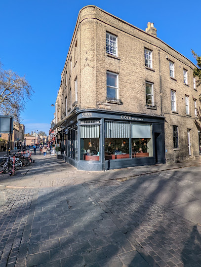
Côte Cambridge
2.1 km
Classic French brasserie charm meets modern dining in the heart of Cambridge, with inclusive menus and a warm, romantic atmosphere.
Gastrono-me
2.2 km
Vibrant brunch and cocktail bar in Cambridge offering generous portions, vegan-friendly dishes, and a lively atmosphere near the city centre.
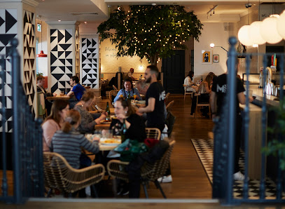
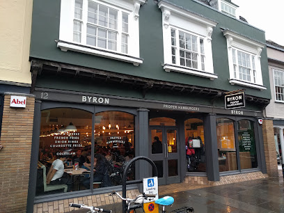
Byron
2.2 km
Savour expertly crafted, indulgent burgers in a stylish, cosy setting at Byron Cambridge, the home of proper burgers since 2007.
The Orator
2.3 km
Historic Cambridge Union’s stylish bar and brasserie blending tradition with modern dining and a lively beer garden.
Trinity Restaurant
2.3 km
A charming Cambridge eatery blending classic pies with contemporary style opposite Trinity College’s Great Gate.
The Ivy Cambridge Brasserie
2.3 km
A vibrant British brasserie in Cambridge city centre, blending classic elegance with lively atmosphere and exceptional dining.
KIBOU Japanese Restaurant & Bar Cambridge
2.3 km
Experience authentic Japanese cuisine and vibrant ambiance in Cambridge’s stylish KIBOU Japanese Restaurant & Bar, where sushi artistry meets elegant design.
Markets, malls and hidden boutiques
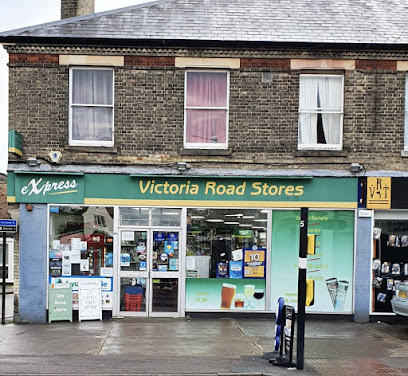
Victoria Store
1.9 km
Experience the convenience of Victoria Store in Cambridge, your one-stop shop for snacks, essentials, and local goods.
Fridge
2.0 km
Discover timeless designer vintage fashion and expert service at Fridge, Magdalene Street’s iconic boutique in Cambridge.

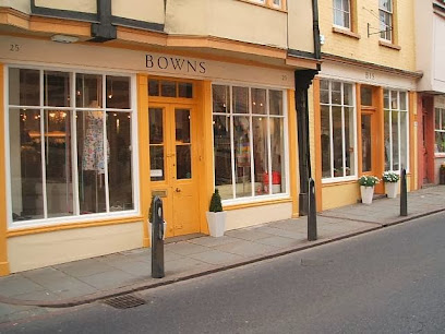
Bowns
2.0 km
Discover luxury and elegance at Bowns, Cambridge's premier designer clothing boutique, where haute couture meets personalized service.
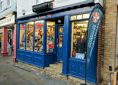
Typically British
2.1 km
Discover authentic British and Cambridge souvenirs in a welcoming shop full of heritage and charm at 29 Bridge Street.
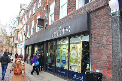
Heffers Bookshop
2.3 km
Cambridge's historic book haven since 1876: vast collections, expert staff, lively events, and treasures from academics to games in a scholar's paradise.
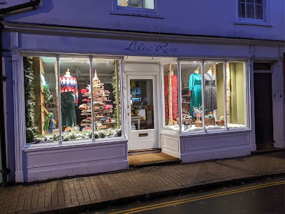
Lilac Rose
2.3 km
Discover unique British fashion and accessories in a charming independent boutique in the heart of Cambridge.
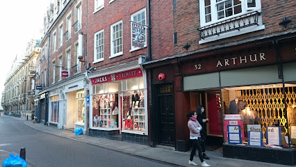
Jacks on Trinity
2.3 km
Authentic Cambridge gifts and official university apparel in a charming Trinity Street shop blending tradition with modern British style.
Jigsaw
2.3 km
Discover timeless elegance and premium ladies' fashion in the heart of historic Cambridge at Jigsaw on Trinity Street.
White Stuff Cambridge
2.3 km
Discover vibrant, stylish fashion for the whole family at White Stuff Cambridge, nestled in the city’s historic shopping heart.
The Cambridge Gift Shop
2.3 km
A compact, friendly gift shop on Rose Crescent offering locally made crafts, stationery and Cambridge-themed keepsakes in a tidy, well-curated space.
The Department of Magical Gifts
2.3 km
Step into Cambridge’s enchanting Harry Potter shop where magic, whimsy, and unique gifts create a spellbinding experience for all ages.
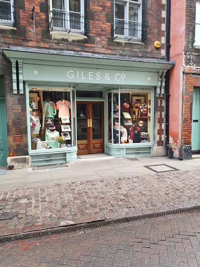
Giles & Co
2.3 km
Compact Trinity Street giftshop specialising in Cambridge-branded clothing, personalised keepsakes and locally sourced presents with friendly, knowledgeable service.
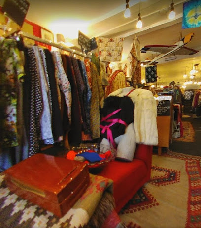
Fantasia
2.3 km
Discover unique vintage fashion at Fantasia, a charming clothing shop in Cambridge that brings nostalgia to life with every exquisite piece.
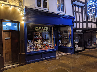
Parade
2.4 km
Discover unique Cambridge souvenirs at Parade Gift Shop, perfectly located on historic King's Parade with stunning views of King's College.
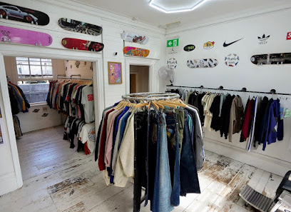
Bring It Back Cambridge
2.4 km
Discover premium vintage and streetwear fashion with a sustainable edge at Bring It Back Cambridge on Green Street.
Essential bars & hidden hideouts
Sir Isaac Newton
1.7 km
A friendly, dog‑friendly Castle Street pub named for Cambridge’s famed scientist — casual food, sports screens and a neighbourhood atmosphere.
The Castle Inn
1.8 km
Traditional Cambridge pub on Castle Street serving classic British fare, local ales, and cozy vibes in the shadow of historic landmarks—a perfect pitstop for explorers.

Pickerel
2.0 km
Cambridge's oldest pub pours history from 15th-century beams: real ales, riverside garden, and classic grub near Magdalene College.
The Iris Bar
2.3 km
Modern cafe buzz in historic Newnham College: exceptional coffee, fresh bakes, and student energy amid Cambridge's academic gardens.
2648 Cambridge
2.3 km
Step into 2648 Cambridge for expertly crafted cocktails in a nostalgic, vinyl-filled setting at the heart of Trinity Street’s vibrant nightlife.
Modern Jazz
2.3 km
Hidden jazz gem on Jesus Lane where modern rhythms pulse amid Cambridge's historic whispers—intimate gigs fueling the city's creative soul.
Hidden Rooms
2.3 km
Discover Cambridge's underground speakeasy: creative cocktails, live tunes, and intimate vibes in historic vaults on Jesus Lane.
La Raza
2.4 km
Cambridge's basement gem for Spanish tapas, craft cocktails, and live funk beats—from daytime café to late-night haven.
Town and Gown
2.4 km
A vibrant Cambridge pub and intimate theatre where university meets local life in a lively, historic setting with great food and entertainment.
Ta Bouche
2.4 km
Experience Cambridge’s lively cocktail scene with creative drinks, fresh food, and a vibrant social atmosphere at Ta Bouche.
The Tivoli
2.4 km
A vibrant four-floor venue in Cambridge offering mini golf, shuffleboard, rooftop views, craft drinks, and casual dining for memorable social experiences.
Eagle
2.4 km
Historic Cambridge pub where DNA’s double helix was announced, blending scientific legacy with classic British charm and lively atmosphere.
The Anchor
2.4 km
Charming historic riverside pub in Cambridge offering classic British fare, craft beers, and live jazz in a lively yet relaxed setting.
Bath House
2.5 km
Historic 17th-century Cambridge pub pouring Greene King cask ales and classic grub in a dog-friendly, family-welcoming spot steps from university landmarks.
BrewDog Cambridge
2.5 km
Experience bold craft beers and innovative food in the heart of historic Cambridge at BrewDog’s lively and welcoming bar.
Nightclubs & after hour spots
MASH
2.4 km
Cambridge’s vibrant independent nightclub offering themed music nights and a welcoming, safe party atmosphere until the early hours.

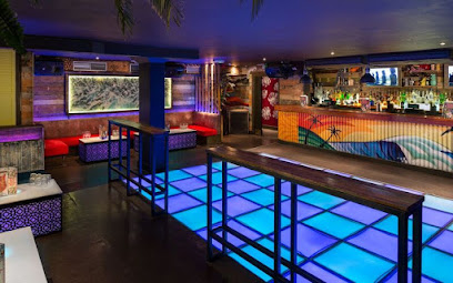
Vinyl Cambridge
2.5 km
Dance through decades on a glowing LED floor at Vinyl Cambridge's throwback haven—2-for-1 drinks, VIP vibes, and non-stop retro anthems await in the city center.
High Five
2.5 km
Cambridge's electrifying gay nightclub where themed nights, drag glamour, and inclusive dance floors ignite unforgettable evenings in the city heart.
Cambridge Lola Lo
2.5 km
Step into Cambridge Lola Lo, a vibrant tiki-themed nightclub with tropical vibes, lively dance floors, and a stunning rooftop terrace in the city centre.
The LAB
3.2 km
Discover The LAB in Cambridge, a cocktail bar where creativity meets flavor, perfect for unwinding after a day of exploration.
EBC Shop
3.2 km
Discover the electrifying nightlife at EBC Shop in Cambridge, where the music keeps you dancing and the atmosphere is always electric.
The Tram Depot
3.3 km
Discover the lively ambiance of The Tram Depot in Cambridge, where great food, local ales, and music nights create unforgettable experiences.
Cambridge Pop-up Speakeasy Jazz
3.3 km
Free live jazz pop-ups in a historic Cambridge pub: intimate sets, diverse musicians, speakeasy vibes on select Wednesdays at 7:30pm.
Cambridge Working Mens Club
3.4 km
Discover the lively ambiance of Cambridge Working Mens Club, a perfect blend of local culture, music, and community spirit.
80s karaoke bar
3.5 km
Neon-lit, 80s-themed karaoke on Hills Road—compact, group-friendly singalongs from the early evening into the night.
The Calling
3.7 km
Discover the vibrant nightlife at The Calling, Cambridge's premier event management venue, perfect for unforgettable experiences and fun times.
Cambridge Junction
4.3 km
Discover the heart of Cambridge's nightlife at Cambridge Junction, a dynamic venue for live music, comedy, and unforgettable performances.
Sing Dizzy
4.4 km
Sing Dizzy offers Cambridge a lively karaoke bar experience with costumes, props, and an extensive song list for unforgettable nights of fun and music.
Salisbury Club
4.6 km
Cambridge's cozy Mill Road club: retro discos, pool tables, cheap drinks, and community spirit in a true local gem.
Rock
5.1 km
Experience the vibrant atmosphere and delicious cuisine at The Rock, a beloved pub and restaurant in the heart of Cambridge.
For the vibe & atmosphere seeker
- Tranquil
- Scenic
- Unique
- Casual
For the design and aesthetic lover
- Rustic Designs
For the architecture buff
- Historic
- Parks & Gardens
For the view chaser and sunset hunter
- Iconic Views
- Sunset Spots
For the social media creator & influencer
- Instagrammable
- Photo Spots
For the eco-conscious traveler
- Eco-Friendly
- Low Impact
- Public-Transport Accessible
- Leave-No-Trace Critical
For the kind of experience you’re after
- Cultural Heritage
- Photowalk
- Nature Escape
- Day Trip
- Weekend Getaway
For how adventurous you want the journey to be
- Easy Access
Location Audience
- Family Friendly
- Senior Friendly
- Child Friendly
- Teen Friendly
- Wheelchair Access
- Solo Friendly
- Couple Friendly
- Vegetarian Friendly
- Vegan Friendly


