Capital Ring: London's Scenic 78-Mile Circular Walk
Explore London's diverse green spaces and urban charm on the 78-mile Capital Ring circular walking route.
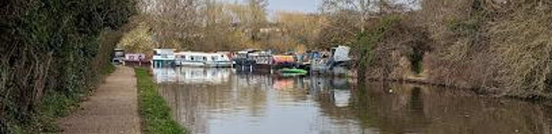
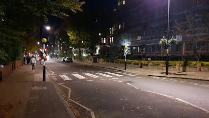
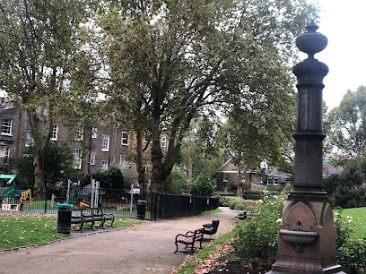
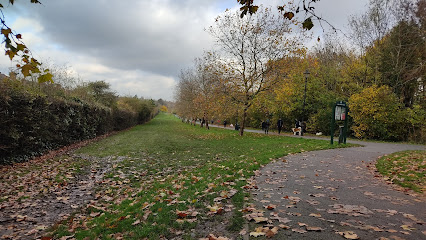
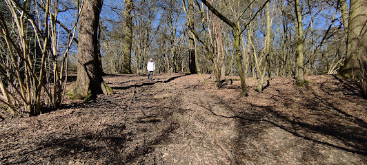
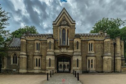
The Capital Ring is a 78-mile (126 km) circular walking route encircling London, weaving through 50 green spaces and diverse urban landscapes. Divided into 15 sections, it offers a unique blend of serene woodlands, historic parks, riverside paths, and vibrant neighborhoods, all within 10 miles of central London. Ideal for walkers seeking to explore both nature and city life, the route connects iconic sites such as Crystal Palace Park, Richmond Park, and Hackney Marshes, showcasing London's rich heritage and varied environments.
A brief summary to Capital Ring
- London, GB
- Duration: 1 to 21 hours
- Free
-
 Outdoor
- Mobile reception: 5 out of 5
Local tips
- Plan your walk in sections, each ranging from 4 to 9 miles, to match your fitness and time availability.
- Check for step-free alternatives on the official Capital Ring website if you require accessible routes.
- Wear sturdy footwear and be prepared for muddy patches outside of summer months.
- Use public transport to access start and end points of each section easily, as all are near Tube or rail stations.
- Carry water and snacks, especially for longer sections, as amenities can be sparse in some green areas.
For the on-the-go comforts that matter to you
- Restrooms
- Drink Options
- Food Options
- Seating Areas
- Information Boards
Getting There
-
Public Transport
Access the Capital Ring via multiple London Underground and rail stations located at the start and end of each section. For example, Woolwich Arsenal station serves Section 1, while Richmond station connects to Section 6. Travel times from central London vary between 20 to 60 minutes depending on the section. Oyster cards and contactless payments are accepted on all services.
-
Bus Services
Numerous London bus routes serve areas along the Capital Ring, providing flexible options to reach different sections. Buses run frequently during the day, with fares starting at approximately £1.75 per single journey using contactless payment. Check local timetables for specific routes near your chosen section.
-
Walking
Walkers can combine multiple sections for longer hikes. Terrain varies from paved urban paths to woodland trails, with some moderate inclines. Comfortable walking shoes are recommended. Sections are well waymarked, but carrying a map or GPS device is advisable for navigation.
-
Cycling
Parts of the Capital Ring are suitable for cycling, particularly along canal towpaths and park trails. Cyclists should be aware of pedestrian traffic and local regulations. Bike rental services are widely available in London, with prices typically starting around £10 per hour.
Capital Ring location weather suitability
-
 Any Weather
-
 Rain / Wet Weather
-
 Clear Skies
-
 Mild Temperatures
Discover more about Capital Ring
A Comprehensive Loop Around London’s Green and Urban Spaces
The Capital Ring is a strategic 78-mile (126 km) circular walking route that encircles London, designed to showcase the capital’s green spaces and urban diversity within a compact radius of about 10 miles from Big Ben. Established in 2005 by the London Walking Forum and supported by Transport for London, the route links 50 parks, nature reserves, and historical sites, providing a comprehensive experience of London’s natural and cultural heritage. The walk is divided into 15 waymarked sections, each ranging from approximately 4 to 9 miles, making it accessible for day walks or multi-day adventures.Varied Landscapes from Ancient Woodlands to Riverside Trails
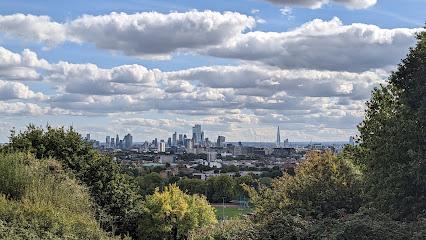
Walkers encounter a rich tapestry of environments, from the ancient Oxleas Wood in the east to the expansive Richmond Park in the west. The route crosses the Thames twice, connecting tranquil riverside paths along the River Lea and Grand Union Canal with vibrant urban neighborhoods like Hackney Wick, known for its street art and waterside bars. Sections such as the stretch from Woolwich to Falconwood blend industrial heritage with open green spaces, while others like Boston Manor to Greenford offer scenic canal-side walking.Historical and Cultural Landmarks Along the Way
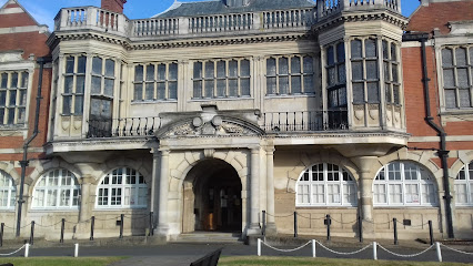
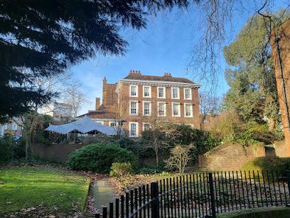
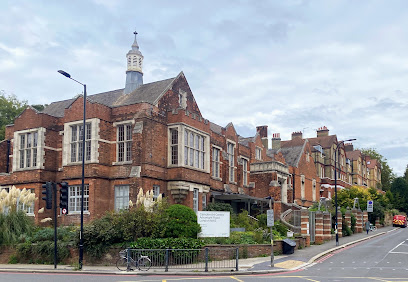
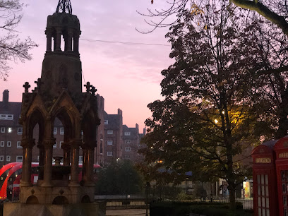
The Capital Ring passes through areas steeped in history, including Eltham Palace, a striking Art Deco manor, and Abney Park, a Victorian cemetery with Gothic architecture. It also skirts significant sites such as the Thames Barrier and the Olympic Park. The walk reveals London’s layered history, from medieval remnants to modern developments, and offers glimpses into local stories and communities, enriching the experience beyond just natural beauty.Accessibility and Practical Considerations
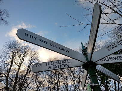
Each section begins and ends near public transport hubs, including Tube, rail, and DLR stations, facilitating easy access and flexible walking plans. The route is mostly accessible to walkers of varying abilities, with some sections offering step-free alternatives. While the path is generally well maintained by borough volunteers and the Inner London Ramblers, walkers should be prepared for occasional muddy patches outside of summer. Maps and detailed guides are available online to assist navigation.Engaging with London’s Diverse Boroughs and Communities
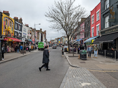
The Capital Ring traverses multiple London boroughs, offering a unique perspective on the city’s diversity. From the leafy suburbs and royal parks to dynamic urban quarters, the walk invites exploration of local cultures, markets, and eateries. Sections like Stoke Newington to Hackney Wick highlight vibrant street art scenes and riverside living, while others provide peaceful escapes into nature, making the Capital Ring a multifaceted journey through London’s heart.Planning Your Walk and Seasonal Insights
The route is best enjoyed in mild to dry weather, as some parts can become slippery or muddy during wet seasons. Summer offers long daylight hours and drier paths, ideal for completing longer sections or the entire loop. Walkers can tailor their experience by choosing sections that suit their interests and fitness levels, with options for shorter walks or extended hikes. The Capital Ring is a rewarding way to discover lesser-known facets of London’s landscape and heritage, whether for locals or visitors.Iconic landmarks you can’t miss
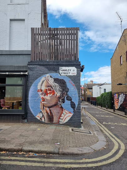
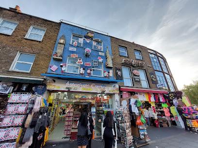
Hawley Street Art
6.2 km
Discover Camden’s vibrant Hawley Street Art, a dynamic outdoor gallery celebrating creativity, culture, and iconic urban murals.
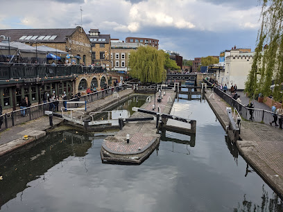
Iron Footbridge over Regent’s Canal (Camden)
6.3 km
Historic iron footbridge offering scenic canal views and vibrant access to Camden’s lively markets and cultural heart.
5 Abbey Rd.
6.4 km
World’s oldest purpose-built recording studio and iconic Beatles landmark in London’s St John’s Wood.
3 Abbey Rd.
6.4 km
World-famous recording studio in London where The Beatles and many legends crafted music history since 1931.
Camden point
6.7 km
Discover Camden Point in London, a vibrant tourist attraction where scenic beauty meets rich culture, making it a must-visit destination for all travelers.
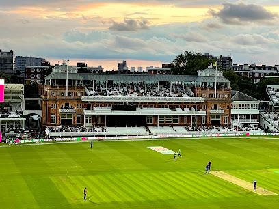
Lord's Cricket Ground
6.7 km
The world's most prestigious cricket venue and the undisputed 'Home of Cricket' since 1814.
Saint Martin's Gardens
6.8 km
Experience the serene beauty of Saint Martin's Gardens, a hidden gem in Camden, London, where lush landscapes meet captivating monuments.
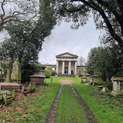
Kensal Green Cemetery
6.8 km
Explore the rich history and serene beauty of Kensal Green Cemetery, one of London's oldest burial grounds, a tranquil escape amidst the city's vibrancy.
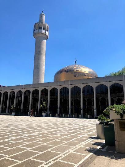
London Central Mosque
7.0 km
London's iconic Islamic cultural landmark blending spiritual tradition with modern community engagement.
Downhills Park
7.5 km
Explore Downhills Park, a tranquil oasis in London offering picturesque gardens, expansive green spaces, and enjoyable recreational activities for all.
Scratchwood
7.6 km
Discover Scratchwood, a serene woodland retreat perfect for nature lovers seeking tranquility and outdoor adventures in the heart of lush greenery.
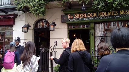
221B Baker St
7.7 km
Explore the iconic 221B Baker Street, the legendary home of Sherlock Holmes, and immerse yourself in the world of detective fiction and Victorian charm.
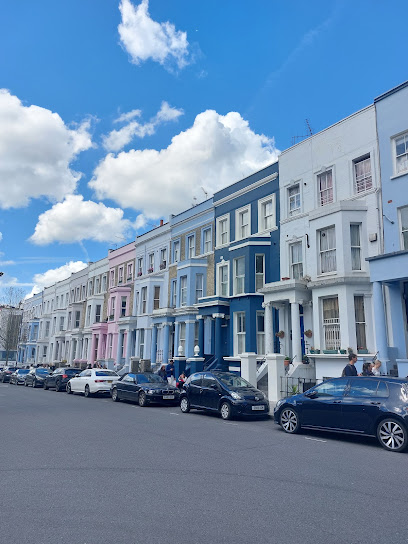
Notting Hill House of Colors
7.8 km
Explore the vibrant colors and artistic spirit of Notting Hill at the House of Colors, a must-visit destination for art lovers and curious travelers.
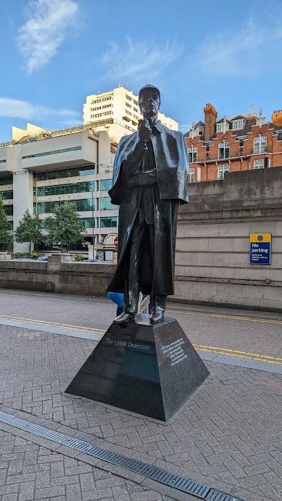
Sherlock Holmes Statue
7.8 km
Discover the charm and intrigue of London at the Sherlock Holmes Statue, a fitting tribute to the legendary detective and a must-see tourist attraction.
Caithness House
7.8 km
Experience the vibrant residential life of London at Caithness House, a modern flat complex perfect for tourists seeking comfort and convenience.
Unmissable attractions to see
Middlesex University London
2.2 km
A vibrant, inclusive university campus in north London blending modern facilities, diverse community, and global career opportunities.
Royal Air Force Museum London
3.0 km
Explore 100+ years of aviation history and iconic RAF aircraft at this free, family-friendly museum in London’s historic Colindale Aerodrome.

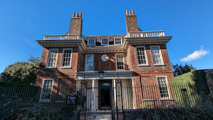
National Trust - Fenton House and Garden
3.5 km
Explore a 17th-century merchant’s house with historic collections, stunning gardens, and panoramic London views in tranquil Hampstead.
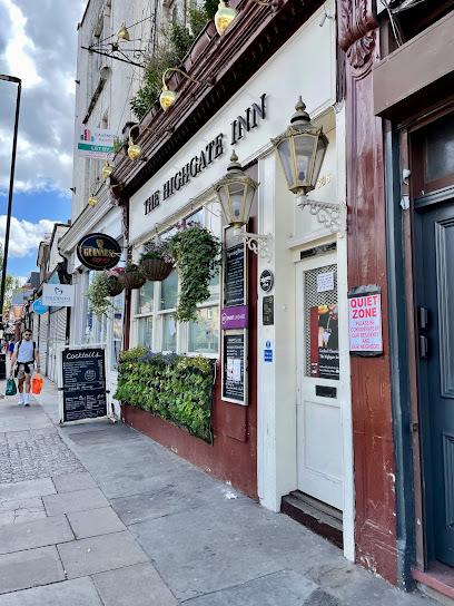
The Highgate Inn
3.5 km
Discover the heart of London at The Highgate Inn, a cozy pub offering delicious food, refreshing drinks, and an inviting atmosphere.
Queen's Wood
3.6 km
Explore Queen's Wood, a serene ancient woodland in London teeming with rich wildlife, historic trees, and peaceful trails just minutes from the city.
Burgh House
3.7 km
Discover Burgh House, a stunning Queen Anne historic house and vibrant cultural hub in the heart of Hampstead, London.
St John-at-Hampstead Church
3.8 km
Historic Anglican church in Hampstead with classical architecture, rich heritage, and a distinctive copper spire dating back to 1747.
Hampstead Heath
3.9 km
Escape to Hampstead Heath, a sprawling urban oasis with ancient woodlands, swimming ponds, and stunning panoramic views over London.
2 Willow Road
4.0 km
Explore 2 Willow Road, Ernő Goldfinger’s iconic 1939 modernist family home blending bold architecture with mid-century art in leafy Hampstead.
Keats House
4.2 km
Step into the Regency home where John Keats penned timeless poetry and found love, surrounded by tranquil gardens and literary history.

Jewish Museum London
4.2 km
Explore British Jewish history, culture, and identity in a striking Libeskind-designed museum in vibrant Camden Town.

Highgate Cemetery
4.2 km
A hauntingly beautiful Victorian cemetery in North London, home to Karl Marx, George Eliot, and countless Gothic tombs, where history, nature, and legend intertwine.
Camden Art Centre
4.2 km
Discover cutting-edge contemporary art and creative spaces in a historic London setting at Camden Art Centre.
Royal Free Hospital
4.4 km
A leading London hospital blending advanced medical care with compassionate patient support in a vibrant urban setting.
Freud Museum London
4.7 km
Explore the preserved home and study of Sigmund Freud, featuring his iconic psychoanalytic couch and rich collections in tranquil Hampstead.
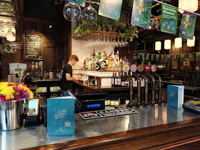
Essential places to dine
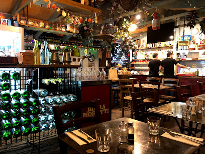
Rossopomodoro Camden
6.4 km
Experience authentic Neapolitan pizza and classic Italian dishes in the vibrant heart of Camden, London.
wagamama camden
6.4 km
Fresh Japanese-inspired dishes and vibrant communal dining in the heart of Camden’s eclectic market scene.
Mildreds Camden
6.4 km
Discover vibrant international vegan cuisine and lively atmosphere at Mildreds Camden, a cornerstone of London’s plant-based dining scene.
Goodfare Italian Restaurant
6.6 km
Cozy Camden Italian eatery serving authentic pizzas, pastas, and seafood with warm hospitality and a lively street-side vibe.
Jamon Jamon
6.7 km
Experience authentic Spanish tapas and vibrant Mediterranean flavors in a lively NW1 London setting with rustic charm and inviting atmosphere.
Laz @Camden
6.7 km
Discover authentic Turkish cuisine and warm hospitality in Camden’s cozy Laz restaurant, where tradition meets vibrant London vibes.
Daphne Restaurant
6.9 km
Authentic Greek-Cypriot dining in Camden with warm hospitality, cozy ambiance, and generously portioned traditional dishes.
Il Sugo
6.9 km
A cozy family-run Italian restaurant in Camden serving hearty, authentic dishes with generous portions and warm hospitality.
Alexander The Great Restaurant
7.1 km
Experience authentic Greek hospitality and generous Mediterranean flavors in the heart of Camden’s vibrant dining scene.
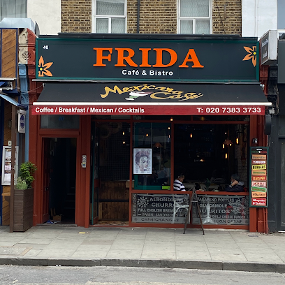
Frida Camden
7.1 km
Authentic Mexican cuisine with vibrant flavors and a lively atmosphere in the heart of Camden, London.
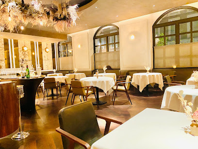
104 Restaurant by Richard Wilkins
7.7 km
A refined modern French gem in Notting Hill offering intimate dining, exquisite tasting menus, and impeccable service in a cozy setting.
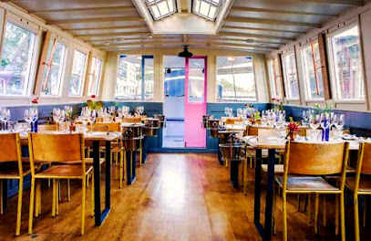
London Shell Co. - The Prince Regent
7.7 km
Savor exceptional British seafood aboard a charming canal barge cruising the historic Regent's Canal in Central London.
Portobello Garden Arcade Italian Restaurant
7.8 km
Authentic Italian dining in a rustic, cozy setting nestled in the heart of vibrant Notting Hill’s Portobello Road.
The Ledbury
8.0 km
Experience world-class Modern European fine dining in Notting Hill at The Ledbury, a 3-Michelin-starred culinary gem blending British ingredients with French elegance.
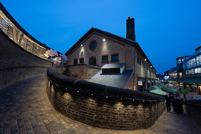
The Parcel Yard, King's Cross
8.0 km
A stylish, light‑filled pub in a historic King’s Cross goods depot, serving seasonal British classics and craft drinks just steps from Platform 9¾.
Markets, malls and hidden boutiques
Gift Centre London
4.8 km
Discover a unique blend of gifts, souvenirs, and practical items at Gift Centre London, your one-stop shop for memorable finds.
Little Paris Store
5.0 km
Discover vintage French charm and eclectic home and fashion treasures in the heart of Crouch End at Little Paris Store.

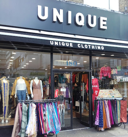
Unique London
5.3 km
A vibrant clothing boutique on Kilburn High Road, offering unique fashion finds and personal service in a diverse, lively London neighbourhood.
Shop
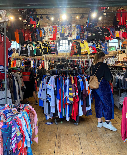
6.1 km
A compact, ever-changing Camden Market shop serving eclectic vintage, designer finds and small-run curios in the Stables’ maze-like atmosphere.
Cyberdog
6.2 km
Step into Cyberdog, Camden’s neon-lit rave shop where futuristic fashion meets pounding techno beats in a vibrant club-like setting.
Zakka Camden
6.2 km
Discover artist-designed cushions and design-led gifts at this quirky Camden Market gem, blending Japanese zakka charm with London's creative pulse.

Camden Threads - An online shop for the best independent brands and vintage boutiques
6.2 km
Discover curated vintage and indie fashion treasures in Camden Stables Market's historic heart – where retro meets rebellious style. (112 characters)
What Goes Around Comes Around
6.2 km
Dive into Camden's retro Americana vault at What Goes Around Comes Around, where vintage varsity jackets, Levi’s, and 80s tracksuits await in the Stables Market.
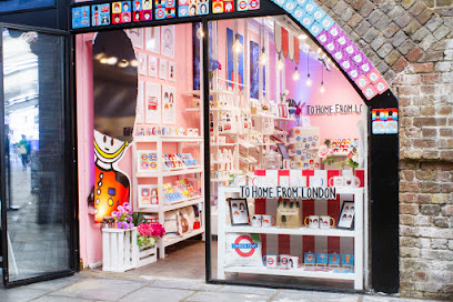
To Home From London
6.2 km
Camden's go-to for handcrafted London souvenirs: witty mugs, sturdy totes, and homewares that pack whimsy and quality into every piece.
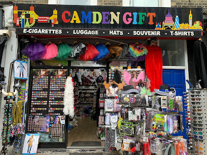
Camden Gift
6.3 km
Quirky Camden souvenirs, stylish gear, and luggage relief on vibrant Chalk Farm Road—a slice of alternative London in one eclectic stop.
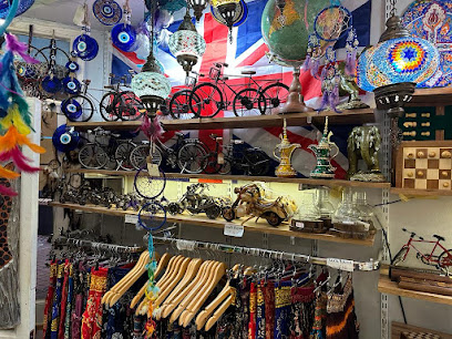
KESKIN GIFT
6.3 km
Discover handmade wonders at Keskin Gift, where Camden's craft spirit shines through chess sets, masks, and artisanal jewelry in the iconic Lock Market.
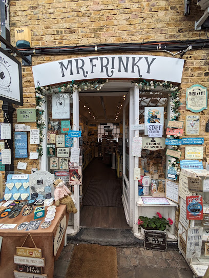
Mr Frinky
6.3 km
Compact, colourful and cheeky — a Camden Lock stall for witty signs, magnets and small‑batch souvenirs with retro flair.
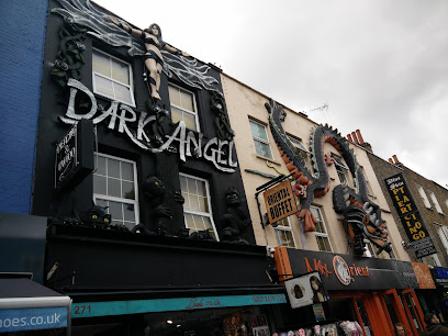
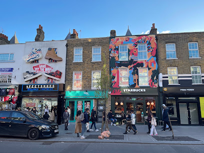
Camden High St
6.8 km
Experience Camden High Street’s vibrant markets, rich culture, and eclectic shops in the heart of London’s most iconic alternative district.
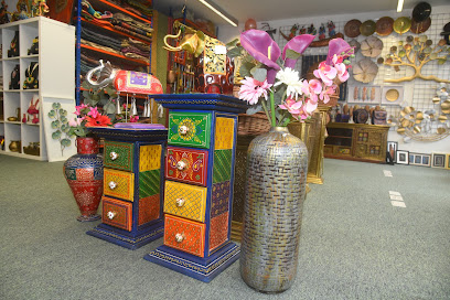
Chamak Craft Art & Decor | Handmade Gifts for Home and Business | Stanmore, Harrow
7.1 km
Discover authentic Indian handmade crafts and unique gifts at Chamak Craft Art & Decor, a vibrant cultural hub in Stanmore.
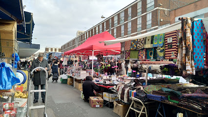
Church Street Market
7.4 km
A bustling multicultural market in Westminster offering fresh produce, antiques, street food, and vibrant local culture from Monday to Saturday.
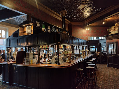
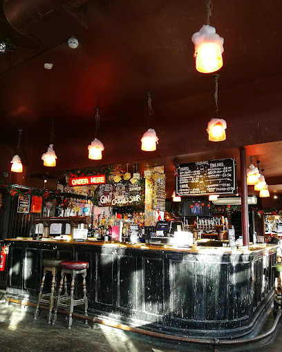
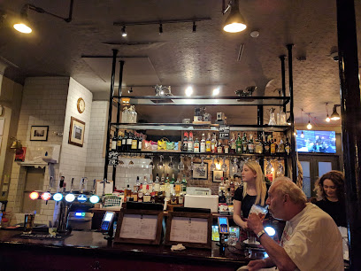
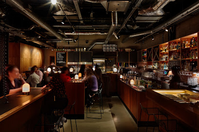
Essential bars & hidden hideouts
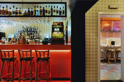
Bobby Fitzpatrick
4.2 km
Step into a vibrant 1970s-themed cocktail bar in West Hampstead, where expertly crafted rum drinks meet retro charm and playful culinary twists.
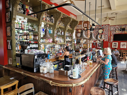
The Hawley Arms
6.3 km
Camden’s intimate music pub — cosy sofas, punters and live gigs in a scuffed, music-filled setting.
Canalside Bar
6.4 km
Sip cocktails by the Regent's Canal in King's Cross, where trendy lounge vibes meet waterside serenity in London's revitalized heart.
All About Eve
6.4 km
1950s cocktail glamour meets Camden's karaoke chaos in this retro-inspired bar with inventive drinks and heated terrace vibes.
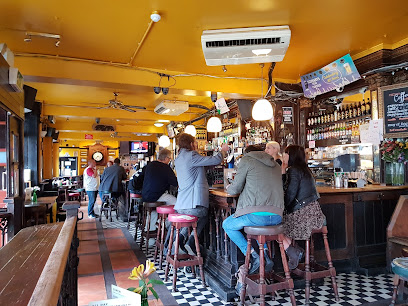
The Elephants Head
6.4 km
Scruffy Victorian boozer on Camden High Street: jukebox rock anthems, Full English feasts, and late-night singalongs in London's alternative epicenter.
The Devonshire Arms
6.5 km
A cosy NW1 pub where grilled dishes and small rock gigs meet—intimate evenings, unpolished energy and classic pub bones in the heart of Kentish Town Road.
Bucks Head
6.5 km
Lively Camden pub with roof terrace views, pub grub, real ales, and festive vibes opposite Buck Street Market—perfect for soaking up the neighborhood's electric energy.
Sunlight Lounge
6.6 km
An intimate Camden Road lounge serving relaxed drinks in a softly lit, conversational setting for small groups and neighbourhood evenings.
Simmons Bar | Camden Town
6.6 km
Neon-lit, budget-friendly cocktail bar in Camden with teapot cocktails, karaoke and a chaotic, retro-packed interior for groups and nights out.
The White Horse
6.7 km
A stylish British pub in Wembley Park offering quality ales, elevated pub fare, and versatile event spaces near Wembley Stadium.
The World's End
6.7 km
Camden’s legendary pub and live music venue blending rich history, vibrant nightlife, and authentic local spirit in the heart of London.
Camden Head
6.9 km
A Victorian‑charm pub on Camden High Street — hearty plates, rotating ales and comedy‑night energy that turns lively after dark.
Be At One - Camden
7.1 km
Ignite your night with 100+ cocktails, 2-for-1 happy hours, and Camden's fiercest bartenders shaking up classics and wild inventions.
The Quiet Night Inn
7.5 km
Lively Notting Hill pub with roof terrace, local brews, games, live sports, and open mic nights—perfect for casual hangs and private events.
Spiritland
7.6 km
Immerse yourself in exceptional sound, creative cocktails, and a vibrant music culture at Spiritland King's Cross.
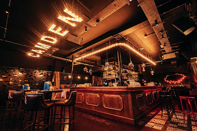
Nightclubs & after hour spots
Monster Queen
6.0 km
Dive into Camden's dark heart at Monster Queen: intimate club nights pulsing with goth electronica, historic vibes, and non-stop energy till dawn.

Club Stable
6.1 km
Historic Camden stables turned electrifying nightclub: dance in Victorian horse stalls amid live music, cabaret, and pulsing beats in London's nightlife epicenter.
Lockside
6.3 km
Canal views, craft cocktails, and DJ-fueled nights atop Camden Market's vibrant West Yard—a daytime diner turned electric nightlife escape.
Soul City
6.7 km
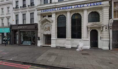
A Saturday-night Camden basement party celebrating soul, disco and funk with DJ-led, record-minded sets in The Jazz Cafe’s atmospheric room.
Club Swizzle
6.8 km
Dive into acrobatic cabaret mayhem at the Roundhouse: Swizzle Boys flip chairs, Reuben Kaye slays with wit, and the bar becomes your front-row thrill ride in Camden's hottest 2018 spectacle.
Max's Other Flat
7.2 km
Discover a vibrant nightlife experience at Max's Other Flat, a must-visit nightclub in London offering electrifying music and unforgettable moments.
Egg London Nightclub
7.2 km
Experience marathon electronic music sessions in a converted Victorian warehouse with vibrant terraces and world-class DJs at Egg London Nightclub.

Subteranian
7.5 km
A compact underground club on Acklam Road delivering dense, DJ-led electronic nights with an intimate, bass-heavy atmosphere.
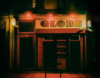
The Globe
8.0 km
Traditional London pub by day, lively late‑night bar and club by night—large, hireable rooms and a warm, characterful interior.
Electric House
8.1 km
Experience the vibrant social scene at Electric House, a chic social club in Notting Hill, London, blending style, comfort, and culinary delights.
The Duke of Wellington
8.1 km
Historic Young's pub on Portobello Road: Victorian screens, market views, British roasts, and Notting Hill legends in every pint.
Privilege Entertainment Ltd
8.5 km
Discover the pulsating nightlife at Privilege Entertainment Ltd, London's premier entertainment agency and nightclub, where unforgettable experiences await.

Notting Hill Arts Club
8.8 km
West London's sweaty basement cradle of music legends since '97—coffee by day, live gigs and club nights till 2am in an intimate den of funk, jazz, and raw talent.
Carwash Nightclub
9.0 km
Europe's longest-running disco since 1989: sequins, funk beats, and joyful dancing in Mayfair's retro heart. Join the glitter-fueled party!

101 Nightclub London
9.1 km
Soho's raw Saturday night pulse: intimate beats, crowded floors, and unfiltered London club energy on Wardour Street.
For the vibe & atmosphere seeker
- Relaxing
- Scenic
- Tranquil
- Fun-filled
- Unique
For the design and aesthetic lover
- Rustic Designs
- Colorful Aesthetics
For the architecture buff
- Historic
- Parks & Gardens
- Viewpoints
For the view chaser and sunset hunter
- Iconic Views
- Panoramas
- Waterfront
- Sunset Spots
For the social media creator & influencer
- Instagrammable
- Photo Spots
- Selfie Spots
- Aesthetic Corners
For the eco-conscious traveler
- Sustainable
- Eco-Friendly
- Public-Transport Accessible
- Locally Managed
- Leave-No-Trace Critical
For the kind of experience you’re after
- Cultural Heritage
- Nature Escape
- Day Trip
- Weekend Getaway
- Photowalk
For how adventurous you want the journey to be
- Easy Access
Location Audience
- Family Friendly
- Senior Friendly
- Child Friendly
- Teen Friendly
- Wheelchair Access
- Pet Friendly
- Solo Friendly
- Couple Friendly
- Vegetarian Friendly
- Vegan Friendly


