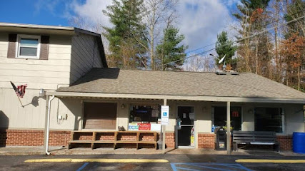
Explore the Majestic Mount Rogers and Appalachian Trail Loop
Discover the breathtaking beauty of Mount Rogers and the Appalachian Trail Loop, an idyllic hiking destination in Virginia's stunning landscapes.
Mount Rogers and the Appalachian Trail Loop is a picturesque hiking destination in Virginia, perfect for nature lovers and adventure seekers. Nestled in the serene landscape of Troutdale, this trail offers breathtaking views, diverse wildlife, and the chance to experience the great outdoors at its finest. Whether you're a seasoned hiker or a casual walker, this trail provides an unforgettable journey through nature's beauty.
A brief summary to Mount Rogers and Appalachian Trail Loop
- Fairwood Rd, Troutdale, Virginia, 24378, US
Local tips
- Start early in the morning to avoid crowds and enjoy the tranquility of nature.
- Wear appropriate hiking shoes as some areas may have uneven terrain.
- Bring a camera to capture the stunning views from the summit.
- Check the weather forecast before your visit to ensure a safe hiking experience.
- Pack plenty of water and snacks, especially if you plan to hike for several hours.
Getting There
-
Car
If you are already in Grayson Highlands State Park, take the park road towards the entrance. Follow the signs for Route 58 West. After a few miles, turn left onto Fairwood Rd. Continue on Fairwood Rd for approximately 5 miles, and you will reach the parking area for Mount Rogers and the Appalachian Trail Loop. There is no entry fee for the parking area.
-
Public Transportation
Using public transportation can be challenging in this rural area. The nearest bus service is in the nearby town of Galax. From Galax, you can take a taxi or rideshare service to reach Grayson Highlands State Park. Once in the park, you will need to use the park’s internal roads to reach Fairwood Rd for Mount Rogers. Be sure to arrange your return trip in advance, as public transport is infrequent.
-
Hiking
If you are already in Grayson Highlands State Park and prefer hiking, you can start from the Grayson Highlands Trailhead. Follow the signs for the Appalachian Trail. The hike to Mount Rogers is approximately 5.5 miles one way, and it is a well-marked trail. Ensure you have proper hiking gear and check the weather conditions before you start.
Discover more about Mount Rogers and Appalachian Trail Loop
Iconic landmarks you can’t miss
Iron Mountains
13.5 km
Experience the breathtaking beauty and diverse outdoor adventures at the stunning Iron Mountains in Virginia, a perfect escape for nature lovers.

Pond Mountain Game Lands
18.3 km
Discover the untouched beauty of Pond Mountain Game Lands, a serene park perfect for hiking, birdwatching, and exploring nature in Creston, NC.
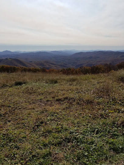
Abingdon Historic District
39.3 km
Explore the charming Abingdon Historic District in Virginia, where history, architecture, and culture come together in perfect harmony.
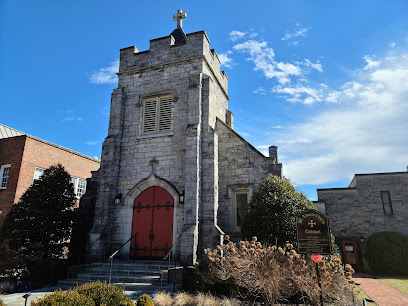
Abingdon Muster Grounds
41.2 km
Explore the Abingdon Muster Grounds, a historic site in Virginia celebrating the spirit of the Revolutionary War and community heritage.
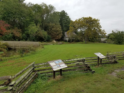
Brinegar Cabin
45.8 km
Discover the rich history of Brinegar Cabin in Traphill, NC, where the beauty of the Blue Ridge Mountains meets early American settler life.
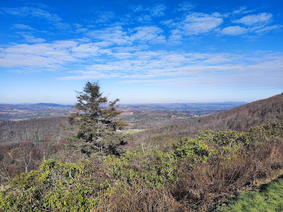
Edith Bolling Wilson Birthplace Museum
49.3 km
Explore the Edith Bolling Wilson Birthplace Museum, a captivating journey into the life of America's First Lady and her influential role in history.
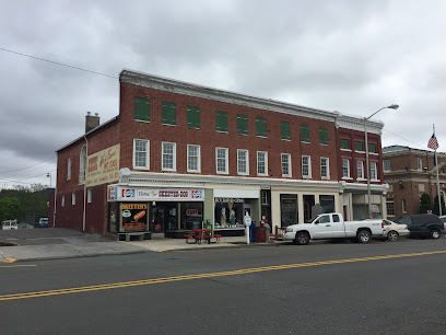
Howard Knob
52.6 km
Discover Howard Knob: A breathtaking mountain peak in North Carolina offering stunning views and serene nature trails for all outdoor enthusiasts.
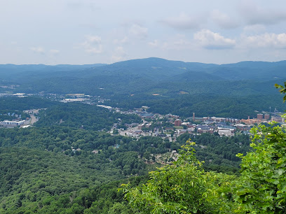
Boone United Trail
53.2 km
Experience the unmatched beauty of Boone United Trail, a serene hiking area in North Carolina that offers stunning landscapes and a peaceful escape into nature.
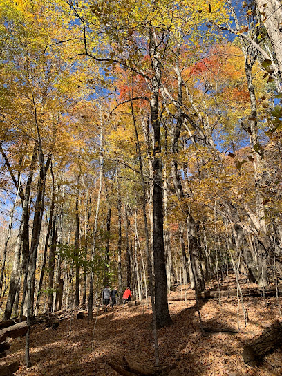
Blue Ridge Tourist Court
53.3 km
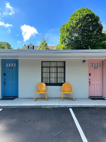
Experience the charm of Boone, NC, at Blue Ridge Tourist Court, your cozy retreat for mountain adventures and serene getaways.
Arborcrest Gardens
53.7 km
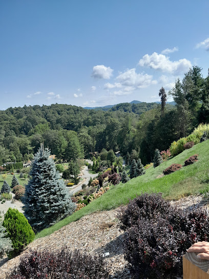
Explore the beauty of nature at Arborcrest Gardens, a serene botanical garden in Boone, North Carolina, featuring stunning landscapes and vibrant plant life.
Explore Boone
54.0 km
Explore Boone, NC – a charming mountain town offering outdoor adventures, rich culture, and delightful local experiences in the heart of the Blue Ridge Mountains.
Lovill House Inn
54.0 km
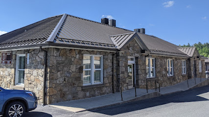
Discover a serene retreat at Lovill House Inn, where rustic charm meets modern comfort in the stunning landscape of Boone, North Carolina.

Elevated Piercing & Tattoo
54.0 km
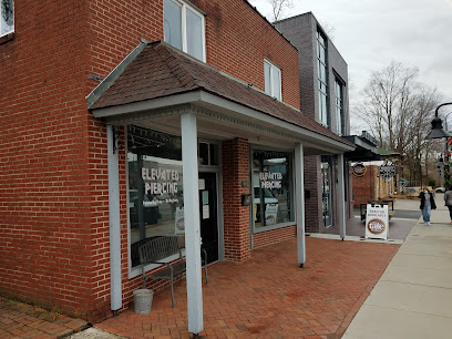
Discover your unique body art at Elevated Piercing & Tattoo in Boone, NC, where creativity meets professionalism in a welcoming atmosphere.
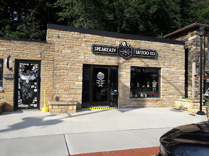
Speakeasy Tattoo Company
54.0 km
Discover unique body art and stylish apparel at Speakeasy Tattoo Company, Boone's premier destination for tattoo enthusiasts and fashion lovers.
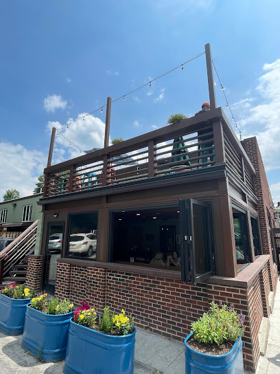
Lost Province Brewing Co.
54.0 km
Explore the vibrant craft beer scene at Lost Province Brewing Co., where unique brews and gourmet pizzas celebrate the essence of Boone, North Carolina.
Unmissable attractions to see
Grindstone Campground
0.7 km
Experience the beauty of nature at Grindstone Campground in Virginia, where outdoor adventure meets serene relaxation for all nature enthusiasts.

Fox Creek Horse Camp
2.7 km
Experience the tranquility of Fox Creek Horse Camp in Virginia, an ideal getaway for camping, horseback riding, and connecting with nature.
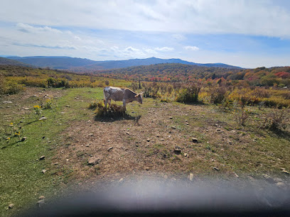
Lewis Fork Wilderness
2.8 km
Experience the breathtaking landscapes and tranquility of Lewis Fork Wilderness, a nature preserve in Virginia perfect for hiking, camping, and wildlife watching.
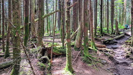
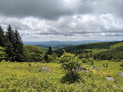
Mt Rogers
3.5 km
Experience the breathtaking beauty of Mt. Rogers, Virginia's highest peak, with stunning views, diverse wildlife, and endless outdoor adventures.
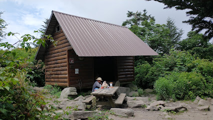
Thomas Knob Shelter
3.7 km
Experience the natural beauty and tranquility of Thomas Knob Shelter along the Appalachian Trail, a perfect campground for hiking and relaxation in Virginia.
Appalachian Horseback Riding Adventures
4.2 km
Explore the breathtaking beauty of the Appalachian Mountains on horseback at Appalachian Horseback Riding Adventures in Troutdale, Virginia.
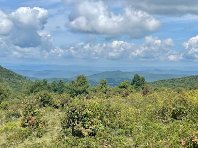
Appalachian Trail, Grayson Highlands
4.2 km
Explore the breathtaking trails and diverse wildlife of Grayson Highlands, a must-visit hiking area along the Appalachian Trail in Virginia.
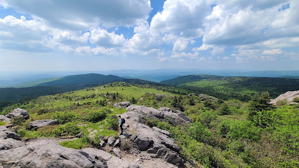
Scales Campground
4.6 km
Explore the beauty of nature at Scales Campground in Troutdale, VA, where adventure and tranquility meet in a picturesque setting.
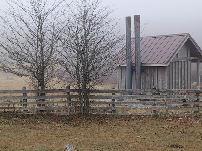
Hurricane Campground
5.2 km
Discover the serene beauty of Hurricane Campground in Sugar Grove, Virginia, a perfect escape for outdoor enthusiasts and nature lovers.
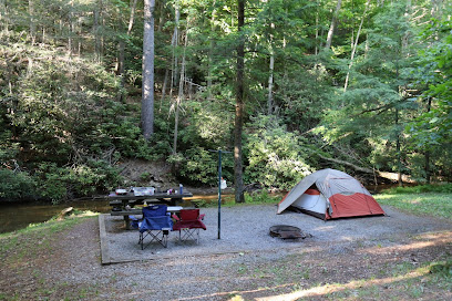
Comers Creek Falls Trailhead
5.6 km
Experience the breathtaking trails and picturesque waterfalls at Comers Creek Falls Trailhead, a hidden gem in Virginia's natural landscape.
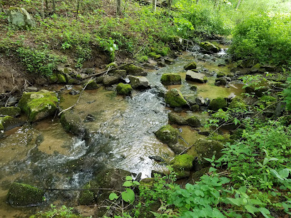
Massie Gap
6.0 km
Experience the breathtaking views and serene nature of Massie Gap in Virginia, a perfect destination for outdoor enthusiasts and tranquility seekers.
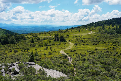
Wilburn Ridge
6.2 km
Experience the breathtaking beauty of Wilburn Ridge in Virginia, a premier destination for nature lovers and outdoor enthusiasts.
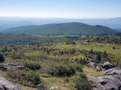
Elk Garden Trailhead
6.6 km
Explore Elk Garden Trailhead in Virginia's Grayson Highlands for stunning hikes, diverse wildlife, and breathtaking mountain views in the heart of nature.
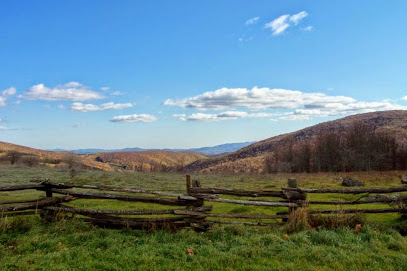
Grayson Highlands Campground
6.9 km
Explore the breathtaking beauty of Grayson Highlands Campground, a nature lover's paradise with stunning views and abundant outdoor activities.
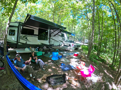
Rocky Hollow Horse Camp
7.2 km
Experience the serene beauty of Rocky Hollow Horse Camp in Virginia, where outdoor adventures and equestrian trails await every nature lover.
Essential places to dine
The Bluffs
42.6 km
Experience exquisite dining at The Bluffs in Laurel Springs, NC—where local flavors meet breathtaking views for an unforgettable meal.
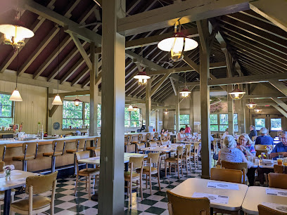
The Blue Ridge Diner
50.7 km
Discover comfort food at its finest at The Blue Ridge Diner in Boone, NC – where every meal feels like home.
Dos Amigos
53.6 km
Experience the vibrant flavors of Mexico at Dos Amigos in Boone, NC - where every meal is a celebration!

Capone's Pizza
53.6 km
Discover Boone’s culinary gem at Capone’s Pizza - where every slice tells a story of flavor and tradition.

New River Grill
53.7 km
Experience authentic Southern flavors at New River Grill in Boone, NC – where local ingredients meet creative culinary artistry.

Vidalia
54.0 km
Discover Vidalia: A Culinary Haven in Boone, NC with Local Flavors and Exquisite Wines Awaiting You.
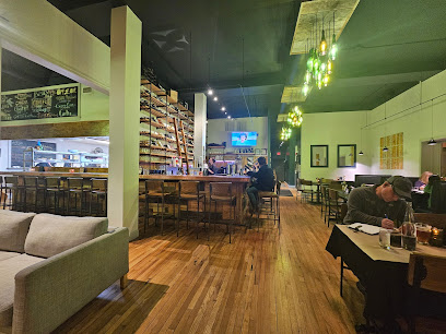
Mellow Mushroom Boone
54.0 km
Discover the unique taste of Mellow Mushroom Boone – where gourmet pizza meets local charm in the heart of North Carolina.
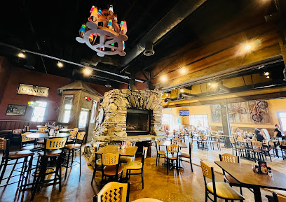
Saks Grill
54.1 km
Discover the flavors of Boone at Saks Grill – where local ingredients meet culinary excellence in a warm atmosphere.

Melanie's
54.1 km
Experience the charm of Boone at Melanie's—a must-visit restaurant offering unique breakfast dishes made from fresh local ingredients.
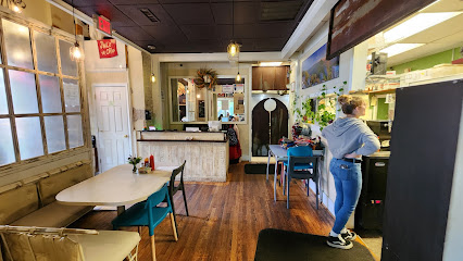
Proper
54.1 km
Experience authentic Southern flavors at Proper in Boone, NC – where every dish tells a story of tradition and warmth.
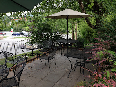
CoBo Sushi Bistro & Bar
54.1 km
Experience exquisite sushi at CoBo Sushi Bistro & Bar in Boone – where fresh ingredients meet innovative culinary artistry.

The Local
54.1 km
Discover The Local in Boone, NC – where delicious American cuisine meets vibrant live music in a welcoming atmosphere.
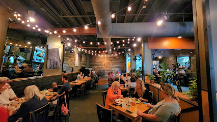
Everybody's Bruncheon Club
54.1 km
Discover Everybody's Bruncheon Club in Boone, NC – where local flavors meet creative brunch dishes in a cozy setting.

F.A.R.M. Cafe
54.1 km
Discover wholesome vegan and vegetarian dining at F.A.R.M. Cafe in Boone, NC – where health meets community spirit!
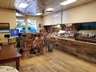
Black Cat Burrito
54.2 km
Experience unique and flavorful burritos at Black Cat Burrito in Boone, NC - where fresh ingredients meet creative culinary artistry.
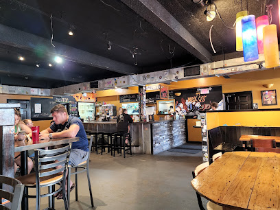
Markets, malls and hidden boutiques
Country Store
6.8 km
Discover the heart of Mouth of Wilson at the Country Store, where local flavors and warm hospitality meet stunning Appalachian scenery.
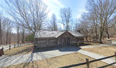
Grayson Highlands General Store & Inn
10.5 km
Experience the heart of Virginia's mountains at Grayson Highlands General Store & Inn, where local charm meets rustic comfort.
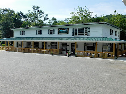
Green Cove Collective
13.8 km
Explore the charm of Damascus, Virginia, at Green Cove Collective, where unique clothing and local artistry come together for an unforgettable shopping experience.

Better Homes
14.6 km
Explore Better Homes in Marion, VA – a charming antique furniture store brimming with timeless treasures and unique finds.

Marion Outdoors (Outfitters)
16.0 km
Discover the ultimate outdoor gear and apparel at Marion Outdoors, your go-to outfitter in Virginia for all your adventure needs.

Downtown Resale Boutique
16.1 km
Uncover unique vintage clothing and accessories at Downtown Resale Boutique in Marion, Virginia, where every piece has a story to tell.

The Toy Box
16.1 km
Discover the enchanting world of toys at The Toy Box in Marion, Virginia, a must-visit destination for families and toy lovers alike.

The Old Store at Grassy Creek
18.1 km
Discover unique gifts and local crafts at The Old Store at Grassy Creek, your perfect shopping stop in the heart of North Carolina.
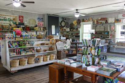
Old Orchard Creek General Store
21.3 km
Experience the heart of North Carolina at Old Orchard Creek General Store, where unique gifts meet local charm in a cozy setting.

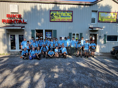
Creeper Trail Bike Rental & Shuttle
23.3 km
Discover the beauty of the Virginia Creeper Trail with top-notch bike rentals and shuttles at Creeper Trail Bike Rental & Shuttle in Damascus, VA.
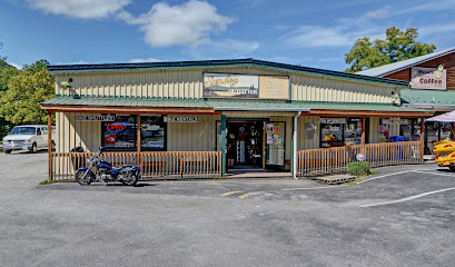
Adventure Damascus & Sundog Outfitter Bike Rental & Shuttle Co
23.4 km
Discover the ultimate outdoor adventure with bike rentals, repairs, and gear at Adventure Damascus & Sundog Outfitter in beautiful Virginia.
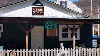
Mt Rogers Outfitters
23.4 km
Discover top-notch outdoor gear and local expertise at Mt Rogers Outfitters in Damascus, Virginia, the ultimate stop for adventure enthusiasts.
Second Time Around
30.2 km
Explore Second Time Around in Meadowview, Virginia, for unique consignment treasures that blend history, charm, and affordability.
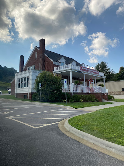
The Vintage Farmhouse
31.8 km
Discover unique vintage treasures and delicious treats at The Vintage Farmhouse in West Jefferson, NC – a must-visit for all travelers.
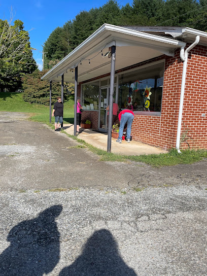
Free Market
33.5 km
Explore the Free Market in Independence, VA, where local charm meets quality home goods, creating a unique shopping experience.
Essential bars & hidden hideouts
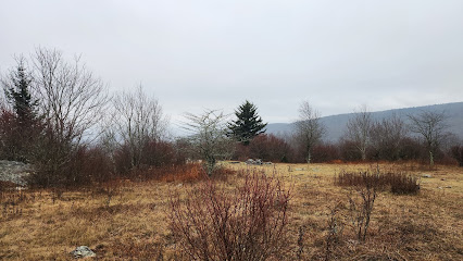
Grayson Highlands State Park Trailhead Parking
6.7 km
Discover the stunning trails and wild ponies at Grayson Highlands State Park Trailhead Parking, a nature lover's paradise in Virginia.
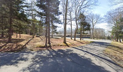
Grayson Highlands Bridle Horse Camping Area
7.0 km
Discover the breathtaking beauty of Grayson Highlands Bridle Horse Camping Area, a top destination for horseback riding and outdoor adventures in Virginia.
Grayson Highlands Base Camp
8.9 km
Experience the beauty of Virginia at Grayson Highlands Base Camp, a cozy bed and breakfast surrounded by breathtaking nature and outdoor adventures.

Casey's Diner
9.1 km
Experience the heart of American cuisine at Casey's Diner in Marion, VA, where classic comfort food meets friendly service.
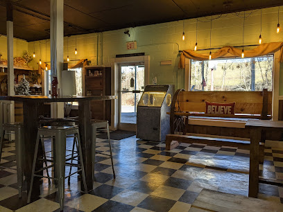
KONNAROCK STORE & GAS
9.7 km
Experience the local charm at Konnarock Store & Gas, your one-stop destination for delicious food, convenience items, and a taste of Damascus culture.

Highland Hideaways
10.2 km
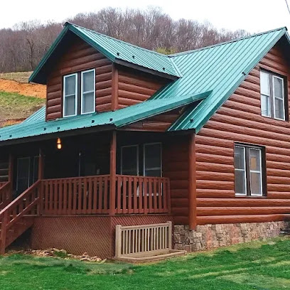
Discover the serene beauty of Highland Hideaways, Virginia's premier cabin rental agency, perfect for nature lovers and adventure seekers alike.
Railroad Market & Cafe
10.3 km
Experience local flavors and warmth at Railroad Market & Cafe in Whitetop, Virginia—your stop for homemade treats and community charm.

The Traveling Tipsy Trailer
11.4 km
Discover the flavors of Virginia at The Traveling Tipsy Trailer, a mobile caterer offering delightful dishes and refreshing drinks in a charming outdoor setting.
Dip Dog Stand
14.6 km
Savor the best hot dogs in Marion, Virginia, at Dip Dog Stand, where friendliness and flavor meet in a vibrant atmosphere.

Hi-Way Drive In
14.6 km
Discover the nostalgic charm and delicious comfort food at Hi-Way Drive In in Marion, Virginia - a must-visit culinary experience.

Corner Market and Cafe
14.8 km
Discover the delightful flavors of Corner Market and Cafe in Mouth of Wilson, where local ingredients meet breathtaking mountain views.
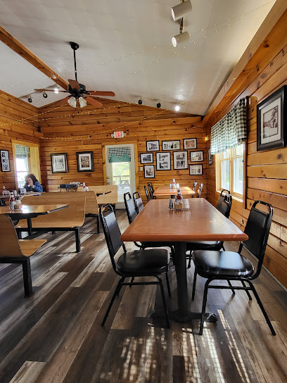
The Log House
14.8 km
Experience the charm of The Log House, a picturesque gas station in Mouth of Wilson, Virginia, where convenience meets local character.
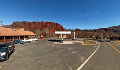
The Farmhouse Market LLC
14.8 km
Discover the flavors of Virginia at The Farmhouse Market, where fresh produce meets artisanal delights in a charming farmers' market setting.

Sur 81
15.3 km
Discover the flavorful experience at Sur 81, Marion's cherished restaurant known for fresh ingredients and a welcoming atmosphere.
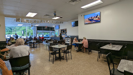
Shirley's Market
15.8 km
Explore Sugar Grove's Shirley's Market for delicious pizza takeout and a friendly local atmosphere in Virginia's scenic landscape.
