Carquinez Strait Regional Shoreline: Where History Meets Nature
Discover breathtaking views and rich history at Carquinez Strait Regional Shoreline, where the bay meets the delta, offering miles of trails and waterfront vistas for outdoor enthusiasts.
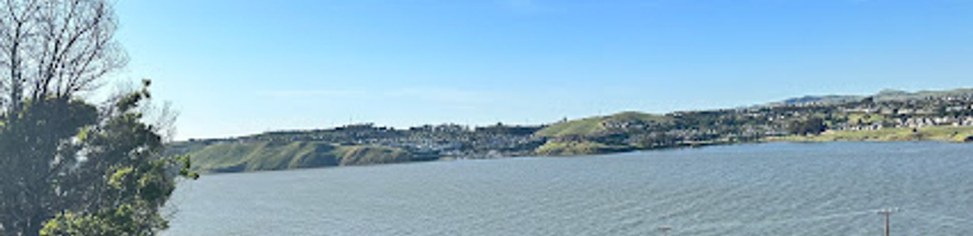
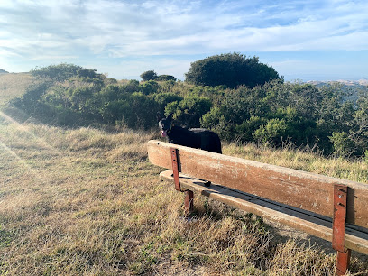
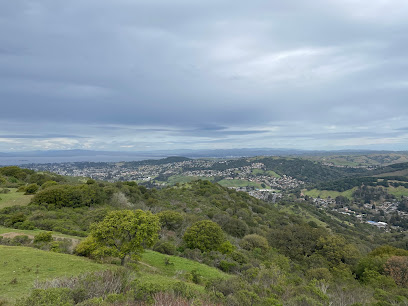
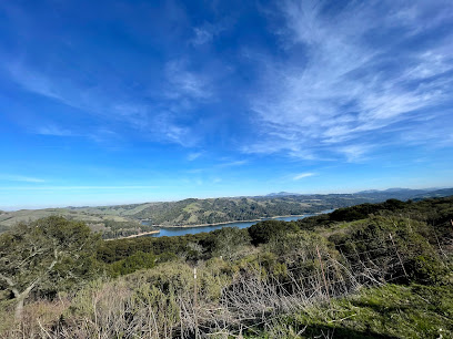
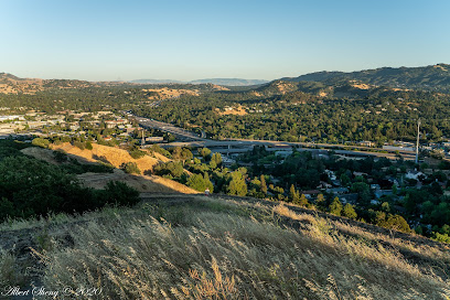
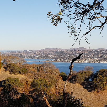
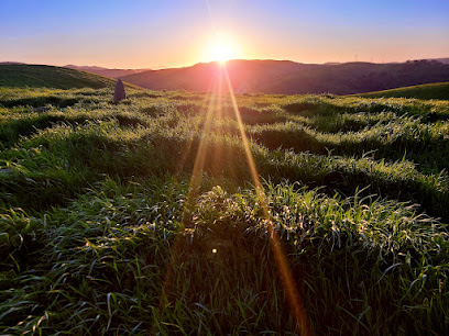
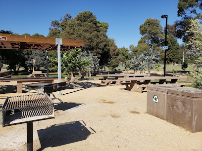
Escape to the Carquinez Strait Regional Shoreline, a sprawling parkland where the Sacramento-San Joaquin River Delta meets the San Francisco Bay. This scenic destination offers a diverse landscape of rolling grasslands, wooded ravines, and eucalyptus-shaded meadows, all set against the backdrop of the busy Carquinez Strait. Explore remnants of a bygone era, including former brickworks and grain wharves, while enjoying panoramic views of the strait, the Benicia-Martinez Bridge, and Mount Diablo. With miles of multi-use trails, it's a haven for hikers, bikers, and equestrians seeking outdoor adventure and a glimpse into California's rich history. Whether you're drawn to the waterfront vistas, the historic charm of nearby towns like Crockett and Port Costa, or the tranquility of the rolling hills, the Carquinez Strait Regional Shoreline promises a memorable experience.
A brief summary to Carquinez Strait Regional Shoreline
- 11 Carquinez Scenic Dr, Martinez, California, 94553, US
- +1888-327-2757
- Visit website
- Monday 7 am-8 pm
- Tuesday 7 am-8 pm
- Wednesday 7 am-8 pm
- Thursday 7 am-8 pm
- Friday 7 am-8 pm
- Saturday 7 am-8 pm
- Sunday 7 am-8 pm
Local tips
- Bring binoculars for optimal birdwatching, as the shoreline attracts diverse species.
- Check the EBRPD website for seasonal gate hours, as they vary throughout the year.
- Explore the historic Eckley Pier for fishing and panoramic views of the Carquinez Strait.
- Hike the Franklin Ridge Loop Trail for challenging climbs and rewarding vistas of Mount Diablo and the surrounding area.
- Visit the nearby towns of Crockett and Port Costa to experience the area's rich history and waterfront charm.
Getting There
-
Driving
From Martinez, take Carquinez Scenic Drive. Depending on which staging area you're aiming for (Nejedly, Bull Valley, etc.), follow Carquinez Scenic Drive, keeping in mind that through-traffic is not possible due to a landslide. Parking is free at all staging areas. Be aware that parking lots, especially at Eckley Pier, can fill up quickly on weekends.
-
Public Transport
To reach the Carquinez Strait East Staging Area via public transportation, take County Connection bus #116 from Pleasant Hill BART (every 30 minutes weekdays, hourly Saturdays). Alternatively, take County Connection bus #118 or #108 from Concord BART. From the Mount Wanda Park & Ride lot, catch County Connection bus #116 at the Park & Ride lot on Alhambra Avenue south of Martinez (just across the freeway from the John Muir House). A single ride on County Connection costs approximately $2.25.
Discover more about Carquinez Strait Regional Shoreline
Iconic landmarks you can’t miss
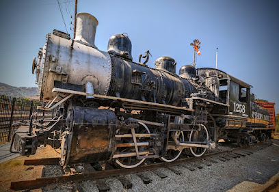
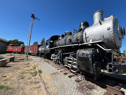
Southern Pacific 1258 Historical Locomotive
2.0 km
Explore the Southern Pacific 1258 Historical Locomotive in Martinez, California, and experience the charm of America's railroading history.
Martinez Southern Pacific Rail Depot
2.1 km
Explore the rich history of the Martinez Southern Pacific Rail Depot, a charming historical landmark showcasing the beauty of California's rail heritage.
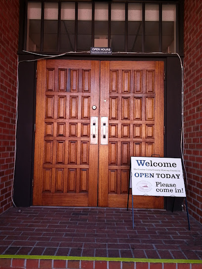
Contra Costa County Historical Society
2.1 km
Discover the historical treasures of Contra Costa County at the Contra Costa County Historical Society, where the past comes alive through engaging exhibits and artifacts.
Martinez Historical Society Plaque: Hook Building circa 1927
2.2 km
Explore the Hook Building in Martinez, California – a historical landmark that captures the essence of the city's rich architectural and cultural heritage.
Bell Telephone Company Building
2.2 km
Explore the Bell Telephone Company Building, a historical landmark in Martinez, California, showcasing early 20th-century architecture and communication history.
Trestle Park
4.6 km
Explore Trestle Park in Martinez, a historical landmark offering serene nature walks, rich history, and stunning views, perfect for a peaceful getaway.
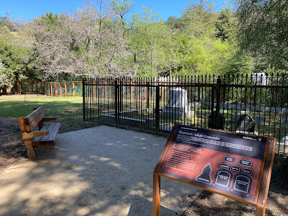
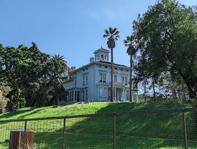
Strentzel-Muir Gravesite
5.7 km
Discover the Strentzel-Muir Gravesite in Martinez, California: A serene historical landmark celebrating the legacy of conservationist John Muir amidst beautiful landscapes.
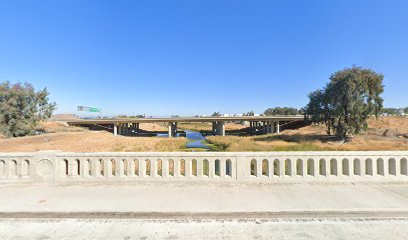
Walnut Creek Bridge
9.3 km
Discover the historic Walnut Creek Bridge in Concord, CA, a scenic landmark on the Iron Horse Trail offering picturesque views and natural beauty.
Don Fernando Pacheco Adobe (California Historical Landmark No. 455)
10.6 km
Discover the rich history of the Don Fernando Pacheco Adobe, a significant California Historical Landmark and a testament to Concord's cultural heritage.
Don Salvio Pacheco Adobe
11.8 km
Discover the historical significance and architectural beauty of the Don Salvio Pacheco Adobe, a must-see landmark in Concord, California.
Old Nike Missile Radar Site
13.7 km
Explore a piece of Cold War history with panoramic views at the Old Nike Missile Radar Site in Richmond's Wildcat Canyon Regional Park, offering an easy hike with historical insights.
Old Nike Missile Launch Site
13.9 km
Discover the Old Nike Missile Launch Site in Richmond, CA, a historical landmark that reveals the stories of America's Cold War defense strategies amidst breathtaking landscapes.
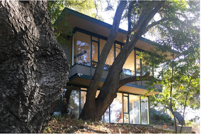
The Paul Hamilton House
14.0 km
Discover Orinda's architectural heritage at the Paul Hamilton House, a landmark of mid-century modern design and Second Bay Tradition.
Berkeley Rotary International Peace Grove
14.2 km
Discover serenity at the Berkeley Rotary International Peace Grove, a nature preserve offering stunning views and peaceful trails for every nature lover.
Airmail Navigation Arrow
15.0 km
Explore a relic of early aviation history at the Airmail Navigation Arrow in Walnut Creek, a key part of the transcontinental airmail system.
Unmissable attractions to see
Nejedly Staging Area
1.2 km
Explore Nejedly Staging Area in Martinez, CA – a serene park offering breathtaking trails for hiking, biking, and horseback riding amidst stunning natural beauty.
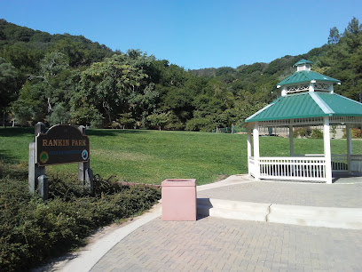
Rankin Park
1.6 km
Discover Rankin Park in Martinez, CA: A vibrant hub for recreation, history, and community, offering swimming, picnics, playgrounds, and scenic beauty for all ages.
Radke Martinez Regional Shoreline Park
1.7 km
Discover a scenic waterfront escape at Radke Martinez Regional Shoreline Park, offering hiking, birdwatching, and recreational activities along the Carquinez Strait in Martinez, California.
Golden Labyrinth | Martinez Public Art
2.0 km
Discover tranquility at Martinez's Golden Labyrinth: a public art gem offering a serene waterfront escape for reflection and exploration, open daily from 5 AM to 10 PM.
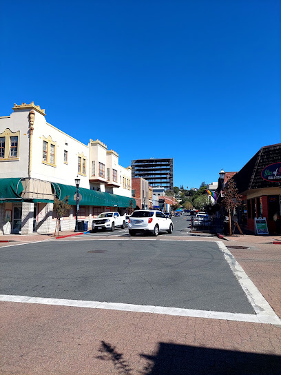
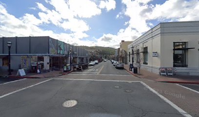
Historic Downtown Martinez
2.2 km
Discover historic charm, waterfront views, and a vibrant community in downtown Martinez, the birthplace of the Martini and home of Joe DiMaggio.
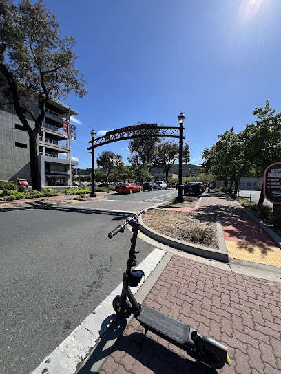
Historic Downtown Martinez Welcome Sign
2.2 km
Discover the charm of Martinez, CA: a historic waterfront city with a vibrant downtown, home to John Muir's legacy and rumored birthplace of the Martini, offering a unique Bay Area experience.
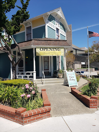
Martinez Museum
2.2 km
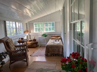
Explore Martinez's captivating past at the Martinez Museum, housed in a charming 1890s Victorian cottage, offering a glimpse into the city's rich history and vibrant culture through fascinating exhibits.
Waterfront Park
2.3 km
Discover waterfront beauty and recreation at Martinez Waterfront Park, a vibrant destination with stunning views, sports facilities, and community events in the heart of Martinez, CA.
The Road to Eldorado Mural | Martinez Public Art
2.4 km
Discover a vibrant piece of California history at the Road to Eldorado Mural in Martinez, a New Deal-era masterpiece depicting the city's early settlers and pioneering spirit, nestled in the heart of downtown.
Old Glory Mural | Martinez Public Art
2.8 km
A vibrant display of American pride and artistic expression, the Old Glory Mural in Martinez offers a patriotic focal point and enhances the city's cultural landscape on Alhambra Avenue.
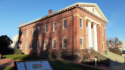
Benicia Capitol State Historic Park
3.3 km
Explore California's political past at the only pre-Sacramento capitol, featuring period furnishings and Gold Rush history.
Fischer Hanlon House
3.3 km
Explore 19th-century life at Benicia's Fischer-Hanlon House, a Gold Rush-era gem with period furnishings and a beautiful Victorian garden.
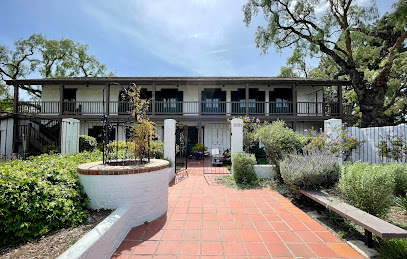
Martinez Adobe
4.1 km
Explore the legacy of early California at the Martinez Adobe, a preserved historical landmark within the John Muir National Historic Site, showcasing the region's Spanish and Mexican heritage.
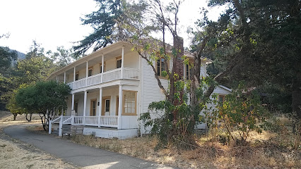
John Muir National Historic Site
4.1 km
Explore the John Muir National Historic Site in Martinez, California, and immerse yourself in the legacy of America's beloved naturalist and conservationist.
Alhambra Way Mural | Martinez Public Art
4.4 km
Discover the Alhambra Way Mural in Martinez, CA: a vibrant celebration of local flora and fauna, transforming a highway underpass into a colorful gateway showcasing community art and ecological beauty.
Essential places to dine
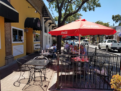
611 Bar & Grill
2.0 km
Experience culinary delight at 611 Bar & Grill in Martinez, CA - where local flavors meet a lively atmosphere.

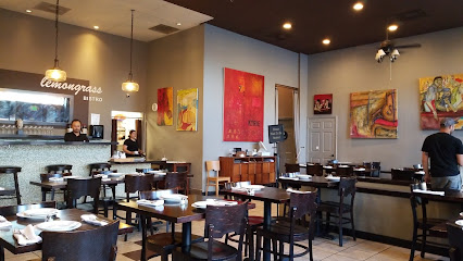
Lemongrass Bistro
2.0 km
Discover the vibrant flavors of Asia at Lemongrass Bistro in Martinez - where every dish tells a story.
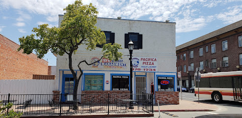
Pacifica Pizza
2.0 km
Discover Pacifica Pizza in Martinez - where delicious pizzas meet a warm atmosphere perfect for family and friends.
Florence Italian Restaurant Inc
2.0 km
Savor authentic Italian flavors at Florence Italian Restaurant in Martinez - where every meal is a culinary journey through Italy.
Luigi's Deli & Market
2.0 km
Experience authentic Italian flavors at Luigi's Deli & Market in Martinez—your destination for gourmet sandwiches and fresh local groceries.
Slow Hand BBQ - Martinez
2.0 km
Experience authentic barbecue at Slow Hand BBQ in Martinez - where every bite is a flavor explosion!
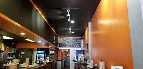
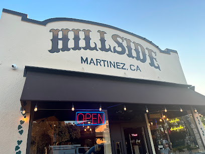
Hillside Tap Room & Eatery
2.0 km
Experience the vibrant flavors of local cuisine at Hillside Tap Room & Eatery in Martinez – perfect for casual dining with friends or family.
Ginger Thai Restaurant
2.1 km
Experience authentic Thai flavors at Ginger Thai Restaurant in Martinez – where every dish tells a story of culinary heritage.
Sunflower Garden
2.1 km
Experience authentic Chinese cuisine at Sunflower Garden in Martinez, CA – where every dish tells a story.
La Tapatia Mexican Cuisine & Catering
2.1 km
Discover the rich flavors of Mexico at La Tapatia Mexican Cuisine & Catering in Martinez - a feast for your senses awaits!
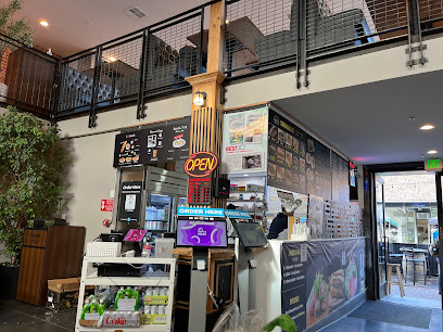
Banh Mi & Rolls Factory
2.1 km
Experience authentic Vietnamese flavors at Banh Mi & Rolls Factory—your go-to spot for delicious banh mi sandwiches and fresh rolls in Martinez.
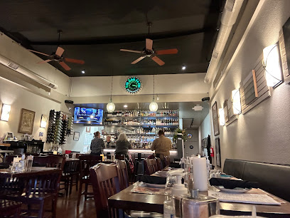
Roxx On Main
2.1 km
Discover Roxx On Main: A lively American restaurant offering delicious food, refreshing drinks, and vibrant live music in Martinez, California.
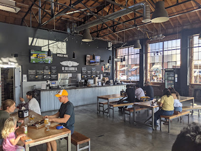
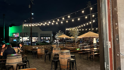
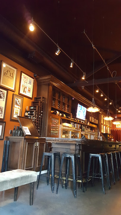
Del Cielo Brewing Co.
2.1 km
Explore Del Cielo Brewing Co., where craft beer meets delicious food in a family-friendly atmosphere in Martinez, California.
Souley Vegan
2.1 km
Experience vibrant plant-based cuisine at Souley Vegan in Martinez, California – a haven for health-conscious food lovers.
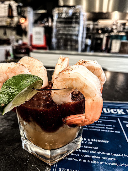
Shuck It! Oyster Bar & Seafood
2.1 km
Experience the best of coastal cuisine at Shuck It! Oyster Bar & Seafood in Martinez – where fresh oysters meet exceptional flavors.
Markets, malls and hidden boutiques
Florence Linear
2.0 km
Discover your next favorite book at Florence Linear, a charming bookstore in Martinez, California, perfect for literary enthusiasts and curious tourists alike.
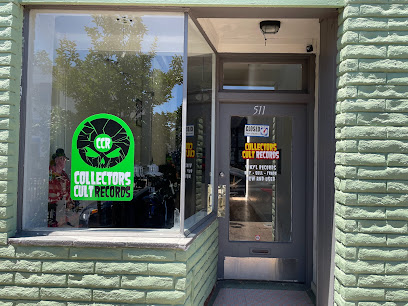
Collectors Cult Records
2.0 km
Explore the vibrant world of music at Collectors Cult Records, a haven for vinyl enthusiasts in Martinez, California.
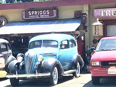
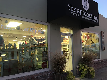
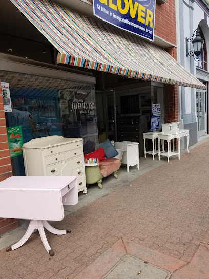
The Spotted Cow - Vintage, Antiques & Collectibles
2.0 km
Explore a treasure trove of vintage furniture and collectibles at The Spotted Cow in Martinez, California, where history meets charm.
Retro now
2.0 km
Explore Retro Now in Martinez, CA: Your destination for vintage and modern electronics that blend nostalgia with innovation.
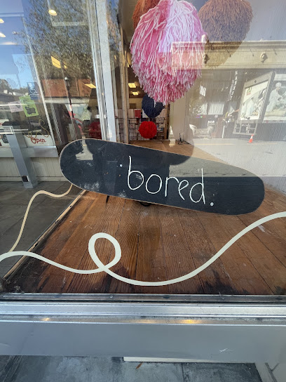
bored.
2.0 km
Discover Bored. in Martinez, CA - your ultimate destination for all things skateboard, offering a vibrant community and an extensive selection of gear.
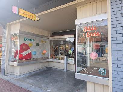
Busywork Craft Supply
2.0 km
Explore your creative side at Busywork Craft Supply, the ultimate destination for crafters and gift enthusiasts in Martinez, California.
SB Trading Co.
2.1 km
Discover a treasure trove of unique gifts and antique finds at SB Trading Co. in Martinez, California, where every visit brings new surprises.
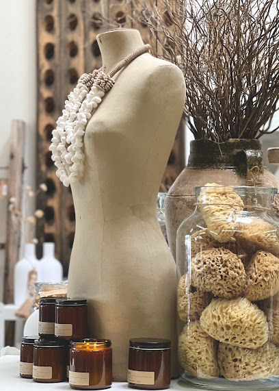
Attic Child Furniture
2.1 km
Explore Attic Child Furniture in Martinez, CA - a delightful antique furniture store with unique vintage treasures and charming decor.
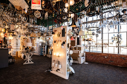
Lights of Diablo
2.1 km
Explore the unique and stylish world of Lights of Diablo, where exceptional lighting transforms your space into a masterpiece in Martinez, California.
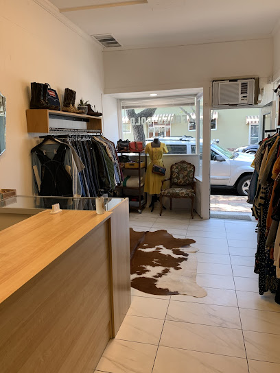
Faded Gold Vintage
2.1 km
Explore unique vintage clothing and accessories at Faded Gold Vintage in Martinez, CA – where every piece has a story.
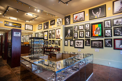
LC Galleries
2.1 km
Explore the captivating blend of sports memorabilia and local art at LC Galleries in Martinez, California, a must-visit for collectors and enthusiasts.
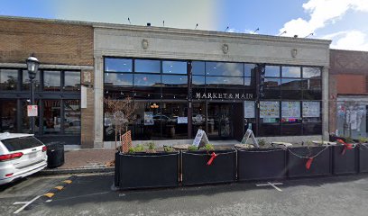
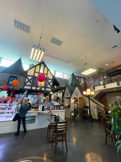
Market & Main
2.1 km
Discover the vibrant culinary scene at Market & Main, a bustling food court in Martinez, CA, filled with diverse eateries and local flavors.
Antique Corner
2.1 km
Discover the charm of the past at Antique Corner, your destination for unique vintage finds and local treasures in Martinez, California.
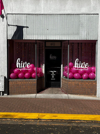
Hive Boutique
2.1 km
Explore Hive Boutique in Martinez, California - your destination for unique fashion finds and local treasures in a charming setting.
The Roaming Sole
2.1 km
Explore The Roaming Sole Boutique in Martinez, CA for unique fashion and home goods that embody local culture and style.
Essential bars & hidden hideouts
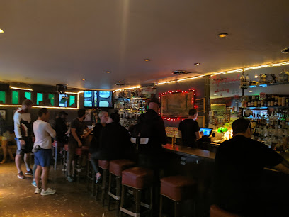
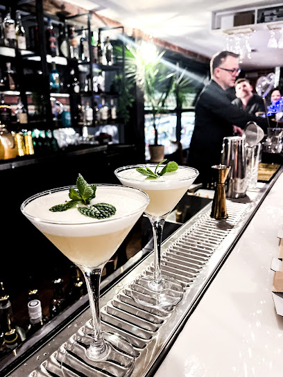
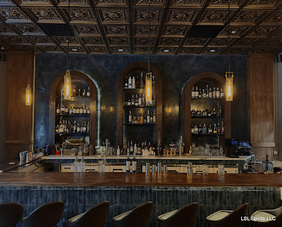
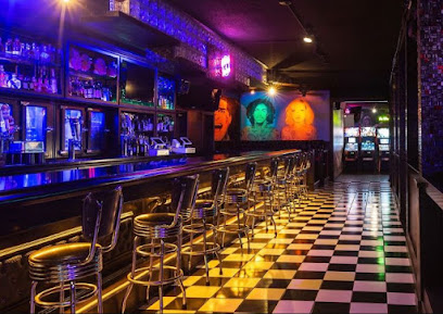
Bentley's Cocktail Bar & Lounge
2.1 km
Experience cocktail perfection at Bentley's Cocktail Bar & Lounge in Martinez, California, where every sip delights and every visit is unforgettable.
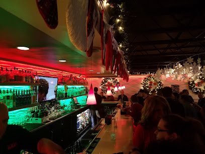
Five Suns Brewing
2.1 km
Discover the vibrant craft beer experience at Five Suns Brewing in downtown Martinez, a community hub for beer lovers and fun events.
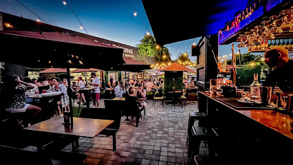
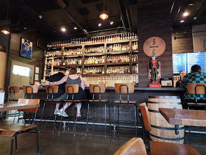
Bentley’s Container Bar
2.1 km
Discover Bentley’s Container Bar in Martinez, CA – a vibrant cocktail bar with a cozy patio, offering handcrafted drinks and delicious food in a welcoming atmosphere.
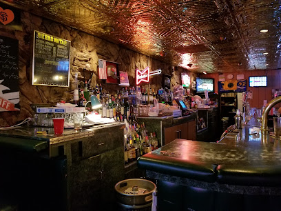
Whiskey Lane
2.2 km
Discover the charm of Whiskey Lane, a cozy bar in Martinez, CA, featuring a wide selection of drinks and a friendly atmosphere perfect for relaxation.
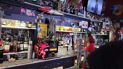
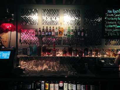
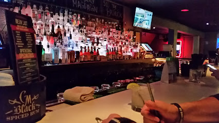
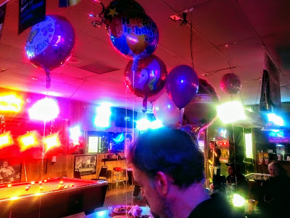
Nu-Rays Bar
2.2 km
Discover Nu-Rays Bar in Martinez, CA, where karaoke meets great drinks in a lively atmosphere perfect for a night out.
Cue & Brew
5.3 km
Experience the vibrant nightlife at Cue & Brew, a lively bar and pool hall in Martinez, California, perfect for relaxation and fun.
Masses
13.7 km
Discover Masses in Walnut Creek, where delicious grilled cuisine meets a lively bar atmosphere, perfect for tourists and locals alike.
Hops & Scotch
13.8 km
Discover the vibrant Hops & Scotch in Walnut Creek, where exceptional craft beers meet gourmet dining in a welcoming atmosphere.
C-blue Wet Bar & Bistro
13.9 km
Discover the vibrant atmosphere and exquisite flavors at C-blue Wet Bar & Bistro, Walnut Creek's premier destination for food and drink.
Spoontonic Lounge
14.0 km
Experience the lively ambiance and exquisite drinks at Spoontonic Lounge in Walnut Creek, a must-visit bar for all travelers seeking local flavors.
Artie's Countrywood Lounge
14.6 km
Discover Artie's Countrywood Lounge, a cozy cocktail bar in Walnut Creek, CA, known for its innovative drinks and welcoming atmosphere.
Luna Sea Lounge
15.0 km
Experience the vibrant nightlife at Luna Sea Lounge in Walnut Creek, where delicious cocktails and live entertainment create unforgettable moments.
Retro Junkie
15.0 km
Discover Retro Junkie in Walnut Creek, CA - a lively bar filled with nostalgia, live music, and classic games for an unforgettable night out.
Club 1220
15.0 km
Discover the lively ambiance and inclusive spirit of Club 1220, Walnut Creek's premier gay bar and cocktail lounge, perfect for an unforgettable night out.
Residual Sugar Wine Bar
15.7 km
Discover the perfect wine escape at Residual Sugar Wine Bar in Walnut Creek, where exquisite wines and a warm atmosphere await you.
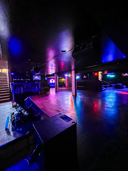
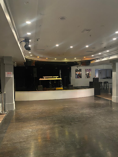
Nightclubs & after hour spots
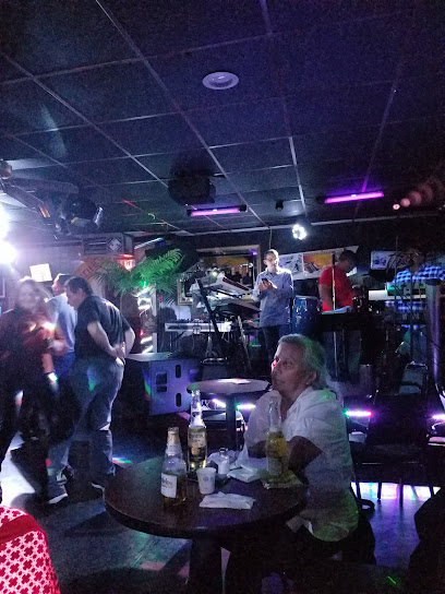
CJ's Saloon
9.3 km
Discover the vibrant atmosphere and eclectic cocktails at CJ's Saloon, the perfect lounge spot for relaxation and socializing in Pleasant Hill.
Nica Lounge
11.8 km
Discover Nica Lounge in Concord, CA - where vibrant nightlife, delicious cocktails, and dancing come together for an unforgettable evening.
La Cabaña Nightclub Bar & Grill
12.7 km
Immerse yourself in the lively atmosphere of La Cabaña Nightclub Bar & Grill, where delicious barbecue meets energetic dancing in Concord, CA.
C4 Enrichment Organization
15.3 km
Experience creativity and community at C4 Enrichment Organization, a vibrant hub for dance, education, and artistic expression in Walnut Creek, CA.
Aura
15.7 km
Discover the electrifying nightlife experience at Aura Nightclub in Walnut Creek, California, where music, dancing, and fun await.
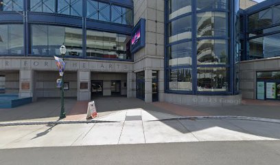
jazz at lesher center
15.8 km
Discover the heart and soul of jazz music at the Lesher Center, Walnut Creek's premier venue for live performances and unforgettable experiences.
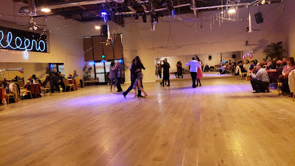
Allegro Ballroom
17.2 km
Experience the vibrant nightlife and diverse dance styles at Allegro Ballroom, Richmond's premier night club and event venue.
La Movida Night Club
17.4 km
Discover the lively atmosphere and vibrant music scene at La Movida Night Club, San Pablo's hotspot for nightlife adventures.
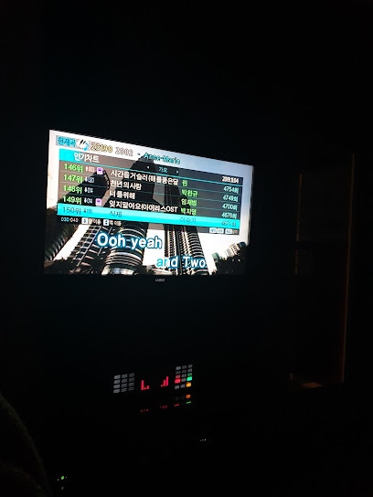
Jaguar Karaoke Berkeley
19.0 km
Discover the ultimate karaoke experience at Jaguar Karaoke Berkeley, where music and fun unite in a vibrant atmosphere.
Club Cali
19.1 km
Dive into the vibrant nightlife of Berkeley at Club Cali, where music, dancing, and unforgettable memories come alive every night.
Tong's kitchen
19.3 km
Discover the dynamic nightlife at Tong's Kitchen in Berkeley, where music, dance, and unforgettable moments come together.
Drop 84
19.4 km
Experience the pulse of Berkeley's nightlife at Drop 84, where unforgettable nights and vibrant energy come alive.
Chardonnay Hall located in Napa Valley Expo.
19.6 km
Experience Napa Valley's vibrant nightlife at Chardonnay Hall, a premier night club offering unforgettable music and events in the heart of wine country.
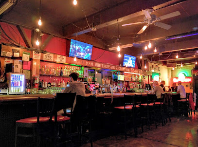
White Horse Inn
20.7 km
Experience the lively spirit and innovative cocktails of White Horse Inn, a welcoming bar in Oakland's vibrant nightlife scene.
Missouri Lounge
21.2 km
Discover the lively Missouri Lounge in Berkeley, where vibrant nightlife meets delicious dining, perfect for an unforgettable evening.