Explore the Unique Desert Map & Aerial Photo Experience
Uncover the beauty of California's desert landscape through breathtaking aerial photography and detailed maps at Desert Map & Aerial Photo.
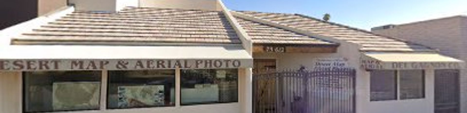
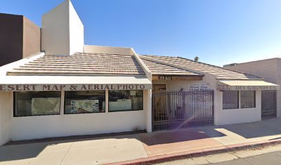
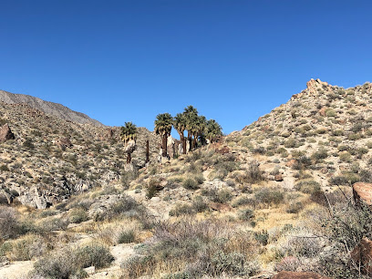
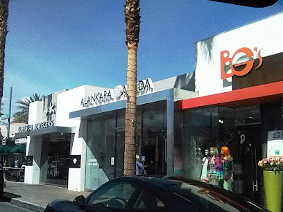
Discover the Desert Map & Aerial Photo in Palm Desert, California, a unique destination for tourists seeking captivating aerial views and specialized maps of the desert landscape. With its focus on photography, this location offers a fascinating insight into the region's geography and natural beauty, perfect for outdoor enthusiasts and adventure seekers alike.
A brief summary to Desert Map & Aerial Photo
- 73612 CA-111, Palm Desert, California, 92260, US
- +1760-346-1101
Local tips
- Visit during weekday afternoons for a quieter experience and more personalized attention from the staff.
- Check out the selection of unique maps that highlight hidden hiking trails and local ghost towns.
- Don't forget to ask for recommendations on the best viewpoints in the area for capturing your own desert photography.
Getting There
-
Walking
If you are starting from the Palm Desert Civic Center Park, exit the park and head east on Fred Waring Drive. Continue straight for about 0.6 miles until you reach CA-111. Turn left onto CA-111 and walk north for approximately 1 mile. Desert Map & Aerial Photo will be on your right at 73612 CA-111.
-
Public Transit
Start at the nearest bus stop on your route. Take the SunLine Transit Agency Route 20 or 24 towards Palm Springs. Get off at the stop at CA-111 and San Pablo Ave. From there, walk north on CA-111 for about 0.3 miles. Desert Map & Aerial Photo will be on your left at 73612 CA-111.
-
Biking
If you have a bike, start from the El Paseo shopping district. Head east on El Paseo until you reach CA-111. Turn left on CA-111 and bike north for approximately 1.5 miles. Desert Map & Aerial Photo will be located on your right at 73612 CA-111.
Discover more about Desert Map & Aerial Photo
Iconic landmarks you can’t miss
Desert Map & Aerial Photo
0.0 km
Uncover the beauty of California's desert landscape through breathtaking aerial photography and detailed maps at Desert Map & Aerial Photo.
El Paseo Shopping District
0.3 km
Experience luxury shopping and exquisite dining in the charming El Paseo Shopping District of Palm Desert, California.
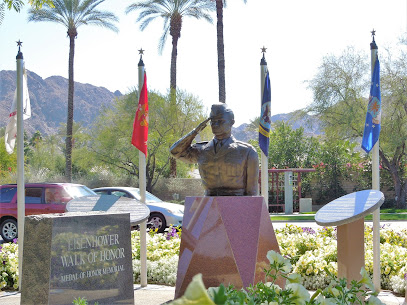
Eisenhower Walk of Honor
3.9 km
Explore the Eisenhower Walk of Honor in Indian Wells, CA - a serene tribute to President Eisenhower's remarkable life and enduring legacy.
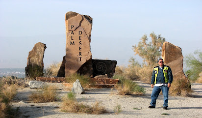
Palm Desert Sign
6.1 km
Discover the vibrant Palm Desert Sign, an iconic landmark that embodies the spirit of California's desert oasis, perfect for memorable photos and adventures.
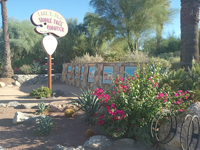
Carl G. Bray Smoke Tree Painter Monument
6.6 km
Explore the Carl G. Bray Smoke Tree Painter Monument, a historical landmark celebrating the artistic heritage of California's Indian Wells.
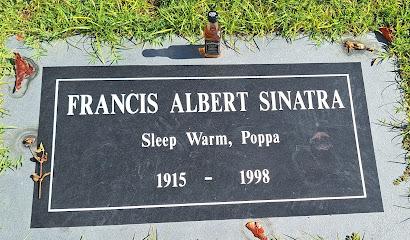
Desert Memorial Park
12.0 km
Discover Desert Memorial Park in Cathedral City, a peaceful cemetery that invites reflection and honors the stories of those who have passed.
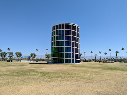
Spectra Tower
13.8 km
Experience the breathtaking views of Indio, California, from the stunning observation deck of Spectra Tower, your gateway to the Coachella Valley.
Coachella Valley History Museum
14.6 km
Discover the captivating history of the Coachella Valley at the History Museum, a gateway to the region's rich cultural heritage and historical narratives.
Gene Autry Statue
14.7 km
Explore the Gene Autry Statue in Palm Springs, a cultural landmark celebrating the legacy of the Singing Cowboy and American Western heritage.
Mojave and Colorado Deserts Biosphere Reserve
16.0 km
Discover the captivating Mojave and Colorado Deserts Biosphere Reserve, a natural sanctuary showcasing California's stunning desert landscapes and diverse ecosystems.

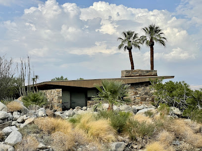
Palm Springs Mod Squad (Architecture Tours)
16.2 km
Uncover the architectural gems of Palm Springs with the Mod Squad's guided tours, perfect for design enthusiasts and curious travelers alike.
The Saguaro Palm Springs
16.3 km
Experience the vibrant charm of The Saguaro Palm Springs, a colorful hotel offering relaxation, adventure, and a taste of the desert lifestyle.

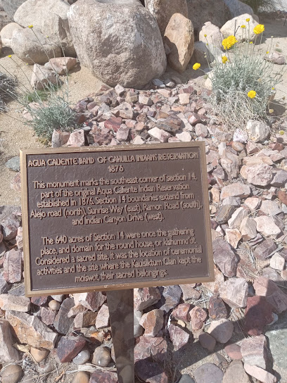
Agua Caliente Monument
17.2 km
Explore the Agua Caliente Monument in Palm Springs, a historical landmark celebrating Native American heritage and breathtaking desert views.
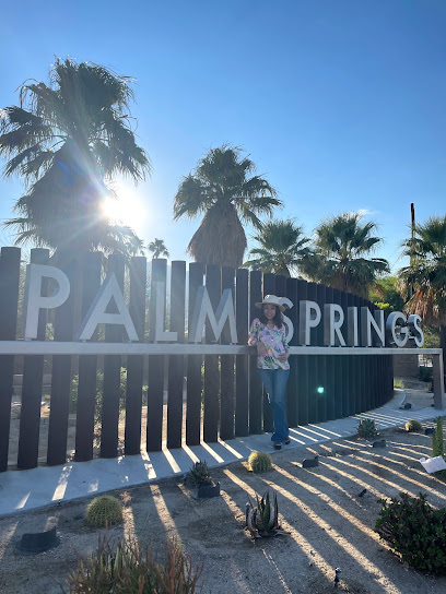
Palm Springs Sign
17.9 km
Discover the vibrant Palm Springs Sign, a cultural landmark that captures the essence of this iconic desert oasis and its artistic heritage.
The Modern Tour - Palm Springs
18.0 km
Uncover the architectural gems of Palm Springs with The Modern Tour, a premier sightseeing experience highlighting mid-century modern design.
Unmissable attractions to see
Desert Holocaust Memorial
1.0 km
A moving and educational memorial in Palm Desert dedicated to the victims and lessons of the Holocaust. A place for remembrance and reflection.
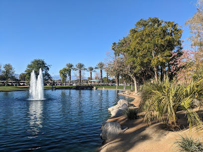
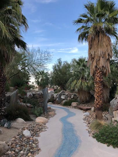
Palm Desert Civic Center Park
1.2 km
Experience recreation and community at Palm Desert Civic Center Park, a 70-acre oasis with sports, events, and natural beauty.
Historical Society of Palm Desert
1.2 km
Explore Palm Desert's past at the Historical Society: photos, archives, and stories of early settlers await! Open Oct-May, free admission.
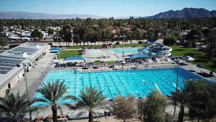
Palm Desert Aquatic Center
1.4 km
Dive into year-round fun at Palm Desert Aquatic Center: pools, slides, fitness, and events for all ages in the heart of Coachella Valley.
City of Palm Desert Magnesia Falls Park
1.8 km
Escape to Magnesia Falls Park in Palm Desert: a green oasis offering recreation, relaxation, and community engagement for all ages.
Palm Springs Art Museum in Palm Desert
1.8 km
Explore the Palm Springs Art Museum in Palm Desert, where creativity and culture converge to inspire visitors of all ages.
City of Palm Desert Cahuilla Hills Park
2.0 km
Explore scenic trails and desert views at Palm Desert's Cahuilla Hills Park, a natural gateway to the Santa Rosa Mountains.
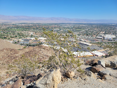
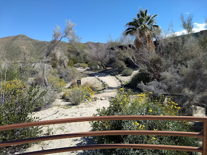
The Bump And Grind
2.4 km
Hike the iconic Bump and Grind Trail in Palm Desert for a challenging desert workout with panoramic Coachella Valley views, perfect for fitness enthusiasts and nature lovers.
City of Palm Desert Homme-Adams Park
2.5 km
Escape to Palm Desert's Homme-Adams Park: trails, picnic spots, and a dog-friendly oasis await in this blend of nature and recreation.
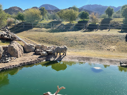
The Living Desert Zoo and Gardens
2.5 km
Explore the unique wildlife and beautiful botanical gardens at The Living Desert Zoo and Gardens, a top destination for nature lovers in Palm Desert, California.
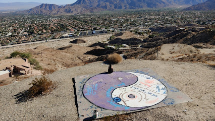
Yin Yang
3.0 km
Discover the serene beauty of Yin Yang in Palm Desert, a blend of tranquility and adventure, offering picturesque landscapes and a peaceful escape.
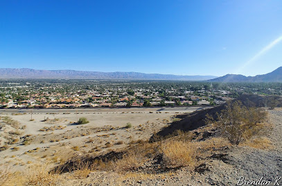
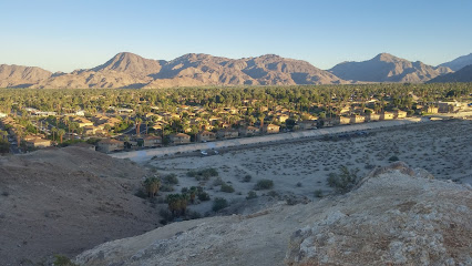
Palm Desert Cross
3.0 km
Hike to the iconic Palm Desert Cross for panoramic Coachella Valley views and a peaceful desert experience. A must-see landmark!
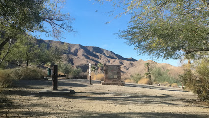
Santa Rosa and San Jacinto Mountains National Monument Visitor Center
6.1 km
Discover the diverse landscapes and rich history of the Santa Rosa and San Jacinto Mountains at this informative visitor center.
Art Smith Trailhead
6.5 km
Hike the Art Smith Trail for panoramic Coachella Valley views, challenging climbs, and a glimpse of desert wildlife in the Santa Rosa Mountains.
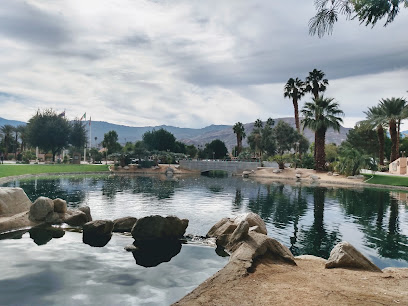
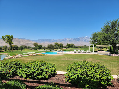
Sunnylands Center & Gardens
7.0 km
Explore art, history, and nature at Sunnylands Center & Gardens, the former Annenberg estate in Rancho Mirage. Free admission to the gardens!
Essential places to dine
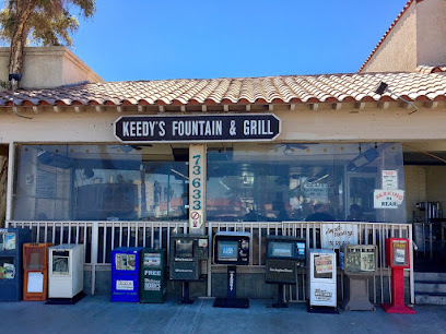
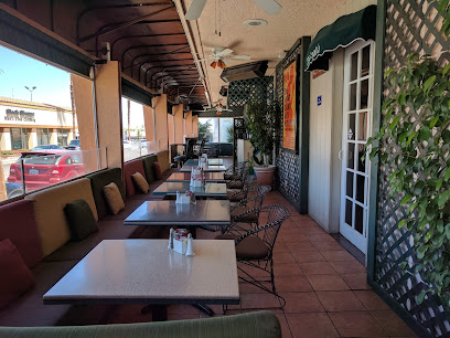
Keedy's Fountain & Grill
0.1 km
Discover Keedy's Fountain & Grill in Palm Desert: A classic American diner serving up delicious breakfasts and nostalgic vibes.
Mimmo's Italian Restaurant and Bar
0.1 km
Experience authentic Italian cuisine at Mimmo's Italian Restaurant and Bar in Palm Desert - where every meal is a celebration of flavor.
Cafe Des Beaux-Arts
0.2 km
Experience authentic French cuisine at Cafe Des Beaux-Arts in Palm Desert – where every meal is a delightful culinary adventure.
Sweet Basil California Eatery
0.2 km
Experience the vibrant flavors of California at Sweet Basil California Eatery in Palm Desert - where every dish tells a story.
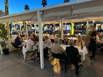
The Hideout Kitchen + Bar
0.2 km
Experience the best of California cuisine at The Hideout Kitchen + Bar in Palm Desert - where fresh ingredients meet exceptional flavors.
Tommy Bahama Restaurant, Bar & Store
0.2 km
Experience culinary delights and island vibes at Tommy Bahama Restaurant, Bar & Store in Palm Desert - where every meal feels like a vacation.
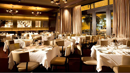
Ristorante Mamma Gina
0.3 km
Experience Northern Italy's culinary delights at Ristorante Mamma Gina in Palm Desert – where every meal is a celebration of flavor.
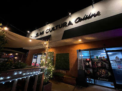
Mi Cultura peruvian colombian cuisine
0.3 km
Experience the rich flavors of Peru and Colombia at Mi Cultura – where culinary traditions come alive in Palm Desert.
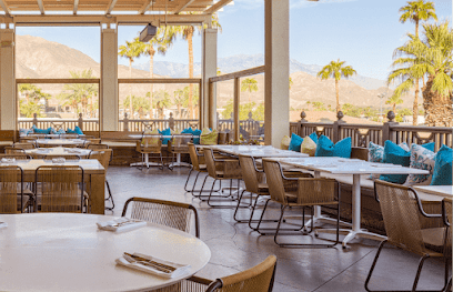
Pacifica Seafood Restaurant
0.3 km
Experience exquisite seafood dining at Pacifica Seafood Restaurant in Palm Desert - where freshness meets flavor in a stunning setting.
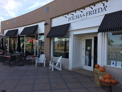
Wilma & Frieda's Cafe
0.3 km
Experience creative brunch dishes at Wilma & Frieda's Cafe in Palm Desert—where breakfast classics meet culinary innovation.
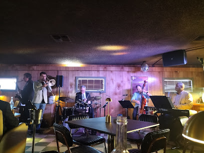
Larkspur Grill
0.3 km
Experience the best of Palm Desert dining at Larkspur Grill - delicious food, refreshing drinks, and live music create unforgettable memories.
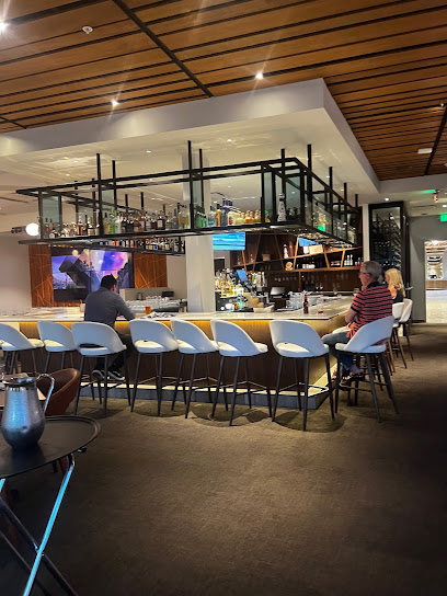
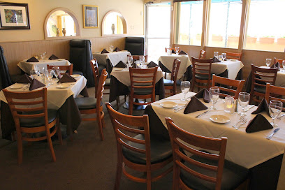
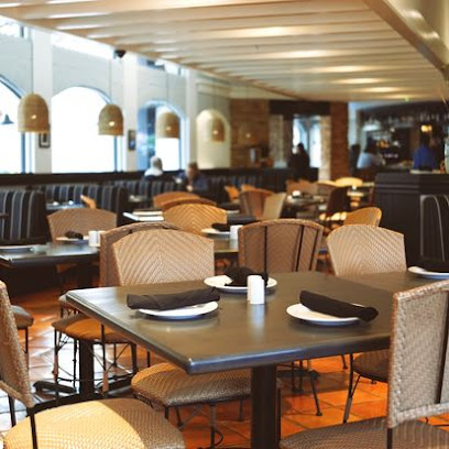
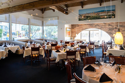
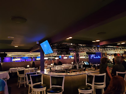
Sullivan's Steakhouse
0.3 km
Discover the ultimate steak dining experience at Sullivan's Steakhouse in Palm Desert - where flavor meets elegance in every bite.
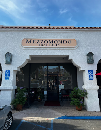
Trattoria Mezzomondo
0.4 km
Experience authentic Italian cuisine at Trattoria Mezzomondo in Palm Desert – where every dish tells a story.
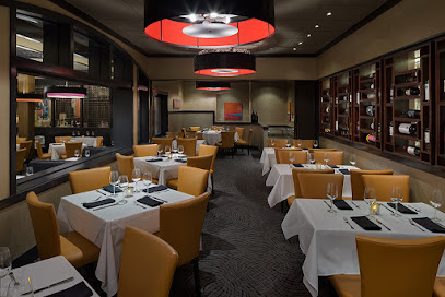
Mastro's Steakhouse
0.4 km
Experience unparalleled fine dining at Mastro's Steakhouse in Palm Desert - where exquisite flavors meet luxurious ambiance.
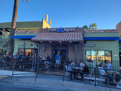
Fresh Agave Mexican Bar & Grill
0.5 km
Experience vibrant Mexican cuisine at Fresh Agave Bar & Grill in Palm Desert – where tradition meets flavor!
Markets, malls and hidden boutiques
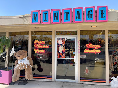
Peach Whiskers Goods
0.1 km
Explore the eclectic vintage treasures at Peach Whiskers Goods in Palm Desert, California—where retro fashion meets unique style.
Jensen's Shopping Center
0.2 km
Experience the charm of Jensen's Shopping Center, a premier shopping destination in Palm Desert offering local flavors and unique finds.
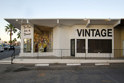
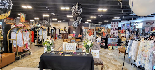
The Fine Art of Design
0.2 km
Explore a curated collection of vintage clothing and unique consignment finds at The Fine Art of Design in Palm Desert.
The Shops on San Pablo - Venus Fashion Boutique
0.2 km
Explore unique fashion at Venus Fashion Boutique, a chic women's clothing store in Palm Desert that offers a personalized shopping experience.
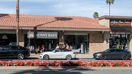
Sunny Days Retail
0.2 km
Discover stylish women's clothing and accessories at Sunny Days Retail, a must-visit fashion destination in Palm Desert, California.
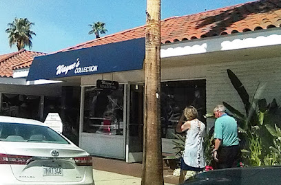
Wayne's Collection
0.2 km
Explore Wayne's Collection in Palm Desert for chic women's fashion that combines style and personal service in a charming boutique setting.
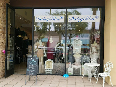
Daisy Blue Boutique
0.2 km
Explore Daisy Blue Boutique in Palm Desert for unique women's clothing and accessories that define your style and elevate your wardrobe.
BG's el paseo
0.3 km
Explore the stylish and unique offerings for women at BG's El Paseo in Palm Desert, where fashion meets individuality.
ALEXANDER ON El PASEO
0.3 km
Explore the elegance of Alexander on El Paseo, a high-end women's clothing store in Palm Desert, showcasing the latest fashion trends and luxury designs.

Earth Spirits
0.3 km
Explore Earth Spirits in Palm Desert for unique clothing and accessories that capture the essence of California's vibrant desert lifestyle.
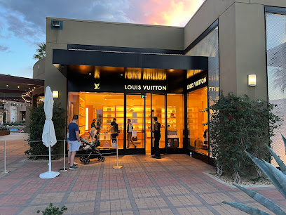
Louis Vuitton Palm Desert
0.3 km
Discover the elegance of Louis Vuitton Palm Desert, where luxury leather goods meet exquisite craftsmanship in a stunning desert destination.
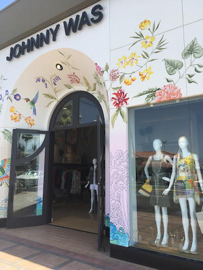
Johnny Was
0.3 km
Explore Johnny Was in Palm Desert for unique women's fashion, exquisite jewelry, and stylish footwear in a vibrant bohemian setting.
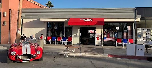
Patriot Store
0.3 km
Explore the Patriot Store in Palm Desert for unique clothing and accessories that embody American culture and style.
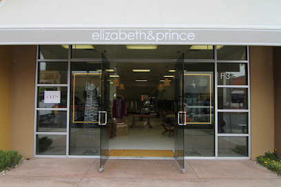
Elizabeth & Prince
0.3 km
Discover the essence of desert fashion at Elizabeth & Prince, Palm Desert's premier women's clothing boutique.
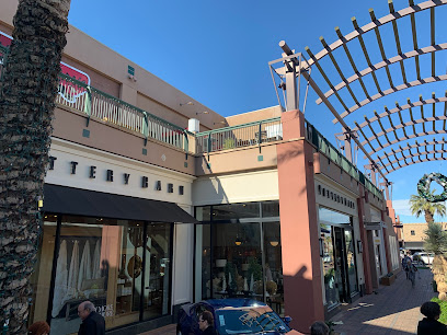
Pottery Barn
0.3 km
Discover timeless elegance and exceptional quality at Pottery Barn, your go-to store for stylish furniture and home decor in Palm Desert.
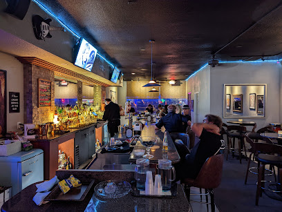
Essential bars & hidden hideouts
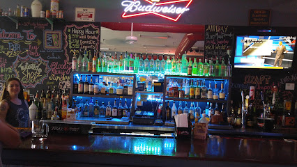
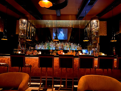
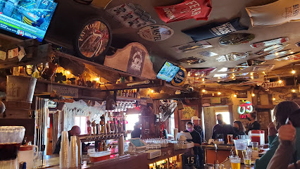
Little Bar
0.1 km
Explore Little Bar in Palm Desert for a unique blend of delicious grilled dishes and refreshing drinks in a vibrant atmosphere.
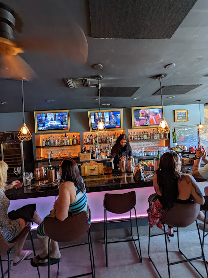
Desert Fox Bar
0.2 km
Discover Desert Fox Bar, Palm Desert's vibrant cocktail haven, where innovative drinks and a lively atmosphere await every visitor.
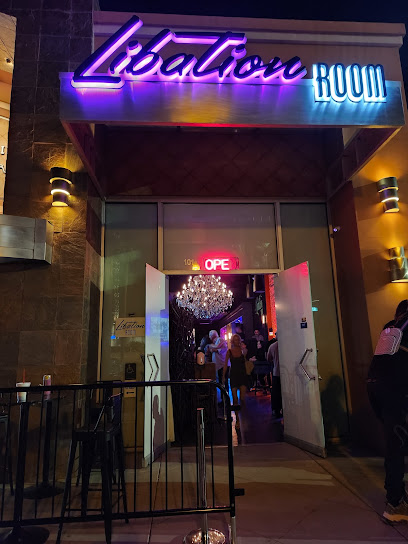
Libation Room
0.3 km
Discover the lively Libation Room, a trendy bar in Palm Desert offering craft cocktails and a vibrant nightlife experience.
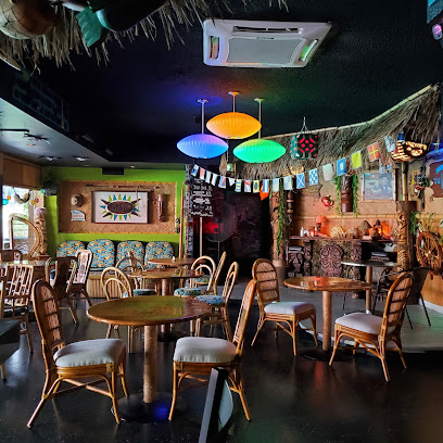
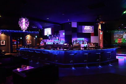
BaBaLoo Lounge
0.3 km
Discover the vibrant BaBaLoo Lounge in Palm Desert, where delicious grill cuisine meets an energetic nightlife experience.
La Fe Wine Bar
0.5 km
Experience the essence of wine culture at La Fe Wine Bar in Palm Desert, where exquisite wines and gourmet small plates await.
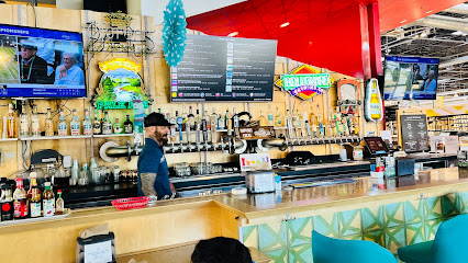
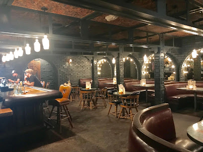
Tap-In Taproom
1.9 km
Discover Tap-In Taproom in Palm Desert, where craft beer meets delicious food in a vibrant atmosphere perfect for relaxation and socializing.
Yard House
3.3 km
Experience the vibrant atmosphere and diverse cuisine at Yard House in Rancho Mirage, where great food and craft beer come together.
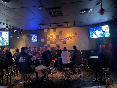
The 19th Hole
7.3 km
Experience the best of American cuisine and sports entertainment at The 19th Hole in Palm Desert, perfect for tourists seeking fun and relaxation.
La Quinta Cliffhouse
7.6 km
Experience exquisite dining with a stunning view at La Quinta Cliffhouse, the perfect blend of culinary delight and scenic beauty.
Plan B Live Entertainment & Cocktails
10.5 km
Discover a lively cocktail bar experience at Plan B Live Entertainment & Cocktails, where affordable drinks and vibrant entertainment await in Thousand Palms.
Amigo Room
17.2 km
Discover the vibrant nightlife of Palm Springs at The Amigo Room—an eclectic bar serving creative cocktails and unforgettable experiences.
The Reef
17.4 km
Explore The Reef in Palm Springs - A vibrant bar and restaurant serving tropical cocktails and delicious cuisine in a lively atmosphere.
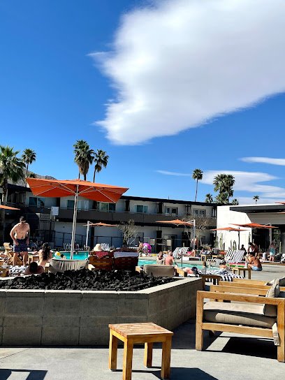
Elixir Pool Bar & Grill
17.5 km
Discover the unique blend of Asian flavors and poolside relaxation at Elixir Pool Bar & Grill in Palm Springs, where every meal is a memorable experience.
Seymour's
17.6 km
Discover Seymour's, an upscale bar in Palm Springs offering unique cocktails and a vibrant nightlife experience perfect for tourists seeking relaxation and fun.
Bar Cecil
17.9 km
Discover the culinary gem of Palm Springs at Bar Cecil, where American and French flavors blend in a stylish bar setting.
Nightclubs & after hour spots
Frank's Hideout
0.5 km
Experience the vibrant social scene of Palm Desert at Frank's Hideout, where relaxation meets entertainment in a stylish lounge and bar.
Bart Lounge
11.9 km
Experience the vibrant nightlife at Bart Lounge, combining art, live music, and a stylish atmosphere in the heart of Cathedral City.
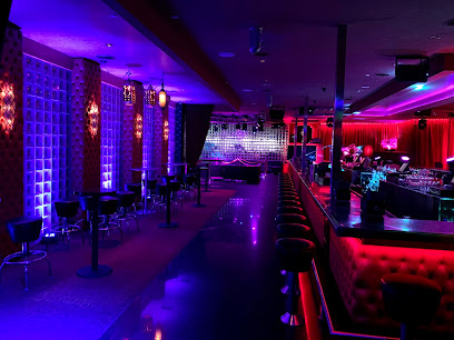
Purple Room Supper Club
16.1 km
Discover the lively charm of the Purple Room Supper Club in Palm Springs, where exquisite dining meets unforgettable live entertainment.
Club 541
18.0 km
Dive into the vibrant nightlife of Palm Springs at Club 541, a premier gay nightclub offering an inclusive and energetic atmosphere for all.
Rocks
18.5 km
Discover the vibrant nightlife of Palm Springs at Rocks, a stylish lounge offering exquisite cocktails and lively entertainment under the stars.
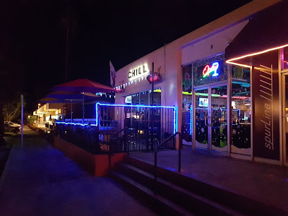
Chill Bar
18.8 km
Chill Bar: A lively night club and lounge in Downtown Palm Springs that embraces inclusivity and offers a fantastic nightlife experience.
QUADZ
18.8 km
Discover the vibrant nightlife at QUADZ in Downtown Palm Springs, a premier gay bar and night club with unforgettable entertainment and inclusive atmosphere.
The Club Downtown Palm Springs at Hotel Zoso
18.9 km
Discover the lively nightlife at The Club Downtown Palm Springs, a premier destination for music, dancing, and unforgettable entertainment.

Pretty Faces Nightclub
18.9 km
Pretty Faces Nightclub in Palm Springs: A hub of vibrant nightlife, electrifying music, and unforgettable dance experiences.

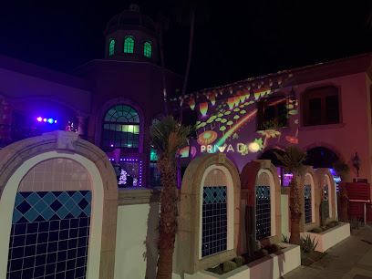
Privado Palm Springs
19.0 km
Discover the ultimate nightlife experience at Privado Palm Springs, a chic venue combining lounge, bar, and club vibes in the heart of California.
Copa Nightclub
19.2 km
Discover the lively Copa Nightclub, Palm Springs’ premier nightlife destination offering live music, DJs, and unforgettable nights filled with fun and excitement.
The Tiny Pony Tavern
44.7 km
Experience the flavors of the desert at The Tiny Pony Tavern, a top spot in Yucca Valley for grill lovers and brunch enthusiasts alike.
The Copper Room
45.2 km
Discover exceptional dining at The Copper Room, a blend of local flavors and vibrant atmosphere in Yucca Valley, California.
Joshua Tree Saloon
46.3 km
Discover great food and lively entertainment at Joshua Tree Saloon, a local favorite for visitors and residents alike in the heart of the desert.
Z Club
46.3 km
Discover the lively nightlife of Z Club, the ultimate destination for music and dance in Joshua Tree, California.