Pacific City Historical Marker: Echoes of a Bygone Era
Discover the echoes of Pacific City, a 1920s amusement park dream, at Coyote Point Recreation Area, offering history, recreation, and stunning bay views in San Mateo.
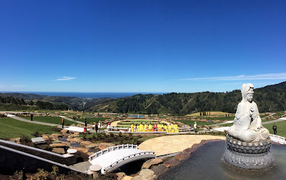
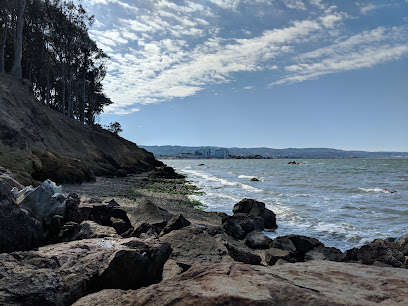
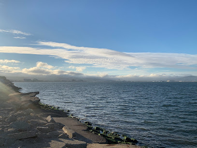
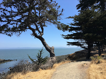
The Historical Marker for Pacific City at Coyote Point Recreation Area commemorates a grand, yet short-lived, amusement park that once aimed to be the 'Coney Island of the West.' Built in the early 1920s, Pacific City boasted a large boardwalk, a pleasure pier, a dance pavilion, a giant Ferris wheel, and the 'Comet' roller coaster. Despite drawing massive crowds initially, the park faced challenges like strong winds and sewage-polluted waters, leading to its bankruptcy by 1923. Today, the marker serves as a reminder of this ambitious venture and the area's rich history, which includes its time as an Ohlone fishing site, part of Spanish mission lands, and a U.S. Merchant Marine training facility during World War II. Visitors can reflect on the past while enjoying the park's current recreational offerings.
A brief summary to Historical Marker: Pacific City
- 1603 Coyote Point Dr, San Mateo, Shoreview, California, 94401, US
Local tips
- Visit the Coyote Point Marina to watch boats and windsurfers, especially on windy afternoons.
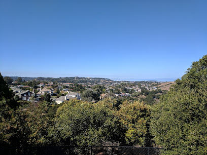
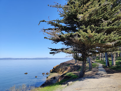
- Explore the Promenade Trail for scenic views of the San Francisco Bay and SFO airport; great for plane spotting.
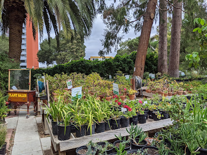
- Check out CuriOdyssey, a science museum and zoo within Coyote Point, perfect for families with children.
Getting There
-
Driving
From Highway 101, take the Peninsula Avenue exit (417B). Head east on Coyote Point Drive for about 1.1 miles. Enter Coyote Point Recreation Area. There is a vehicle entry fee of $6, payable via electronic pay stations that accept credit cards and cash. Follow the road towards the Coyote Point Marina; the historical marker is located west of the parking area across Coyote Point Drive from the golf course.
-
Public Transport
Take Caltrain to the Burlingame station. From there, it's approximately a 30-minute walk to Coyote Point Recreation Area. Alternatively, from the Burlingame station, you can take a taxi or ride-share service to the park entrance. The vehicle entry fee of $6 still applies upon entering the park. Once inside, follow signs towards the marina; the historical marker is located west of the parking area across Coyote Point Drive from the golf course. A short taxi/ride-share from the Burlingame Station to the park entrance will cost approximately $15-$20.
-
Walking
If you are already near Coyote Point Drive, you can walk to Coyote Point Recreation Area. Head towards Coyote Point Drive, and follow the road signs directing you to the park. The park entrance is located at 1701 Coyote Point Drive. Depending on your starting location, this could be a pleasant 30-45 minute walk, allowing you to enjoy the local scenery. Note that the vehicle entry fee of $6 applies to all visitors, even those arriving on foot or bicycle.
Discover more about Historical Marker: Pacific City
Iconic landmarks you can’t miss
Historical Marker: Pacific City
0.0 km
Explore the Historical Marker at Pacific City in San Mateo, California, and delve into the rich history that shaped the region's cultural heritage.
Ernest Coxhead House
2.2 km
Discover the architectural legacy of Ernest Coxhead at his former San Mateo residence, a charming Tudor Revival home showcasing Arts and Crafts design in a picturesque setting.
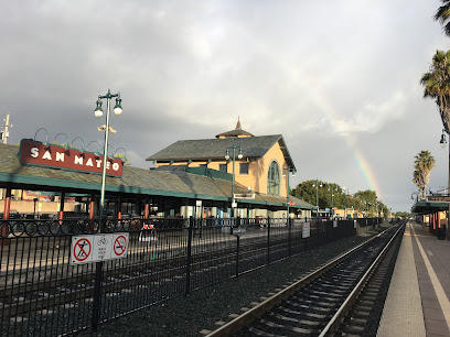
San Mateo Station
2.4 km
Discover San Mateo: Your gateway to the San Francisco Peninsula, offering seamless Caltrain access to vibrant downtown, diverse dining, and cultural attractions.
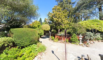
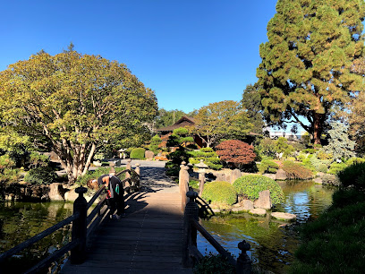
Eugene J. De Sabla, Jr., Teahouse and Tea Garden
2.7 km
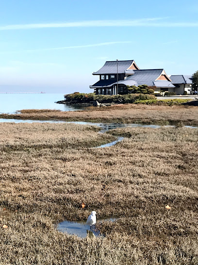
Discover a serene oasis in San Mateo: the Eugene J. De Sabla, Jr., Teahouse and Tea Garden, a historic Japanese garden designed by Makoto Hagiwara, offering a glimpse into California's past.
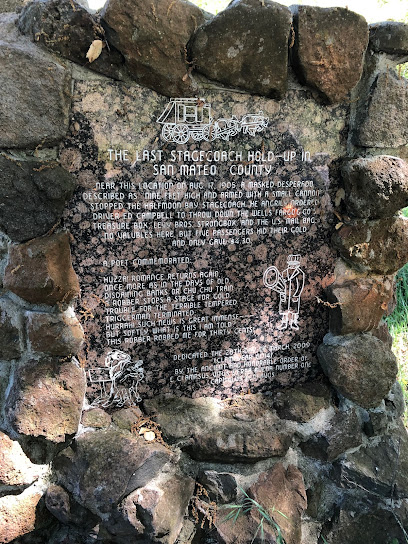
The Last Stagecoach Hold-up in San Mateo County
5.4 km
Discover the site of the last stagecoach robbery in San Mateo County on Crystal Springs Road, a unique historical landmark offering a glimpse into California's Wild West past.
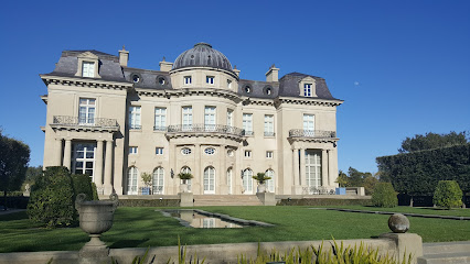
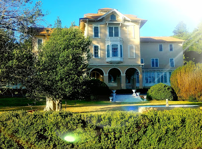
Carolands Chateau
5.4 km
Explore the stunning Carolands Chateau, a historical landmark in California that offers a glimpse into the grandeur of the Gilded Age.
Portolà Expedition Camp Historical Landmark
7.6 km
Explore the Portolà Expedition Camp in Millbrae, a captivating historical landmark that reveals California's early exploration and rich heritage.
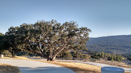
Len Turner Memorial Vista Point
8.7 km
Discover the stunning views of the San Francisco Bay Area at Len Turner Memorial Vista Point, a tranquil and picturesque escape in Belmont, California.
Ralston Hall Mansion
8.7 km
Experience the grandeur of California's Gilded Age at Ralston Hall Mansion, a National Historic Landmark on the campus of Notre Dame de Namur University in Belmont.
红木城
9.0 km
Explore Redwood City with peace of mind while your children enjoy a safe and nurturing environment at Red Wood City Childminder.

South San Francisco American Revolution bicentennial Observation committee capsule
10.6 km
Explore the American Revolution Bicentennial Capsule in South San Francisco, a historical landmark that reflects on the nation's independence and rich heritage.
Skylawn Funeral Home, Memorial Park & Crematory
10.7 km
Discover tranquility at Skylawn Funeral Home, Memorial Park & Crematory, a serene space for reflection and remembrance in San Mateo, California.
War Memorial
11.5 km
Explore the War Memorial in San Carlos, a historical landmark dedicated to honoring military service and sacrifice amid tranquil surroundings.
Sitio Historico Rudy Valencia
11.5 km
Discover the rich heritage at Sitio Historico Rudy Valencia, an iconic historical landmark in South San Francisco, perfect for history buffs and nature lovers.
Ralph D. Percival Memorial Vista Point
12.6 km
Discover the scenic beauty of Ralph D. Percival Memorial Vista Point in Redwood City, California, a perfect spot for breathtaking vistas and peaceful moments.
Unmissable attractions to see
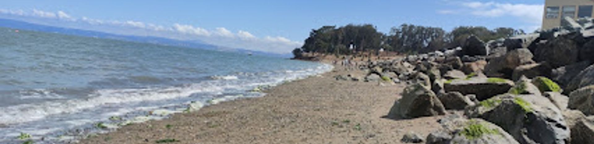
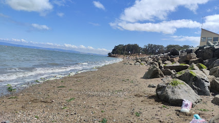
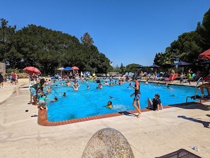
Coyote Point Beach
0.4 km
Discover the scenic beauty of Coyote Point Beach in San Mateo, California, where relaxation meets adventure along the stunning coastline.
Aardvark Beach
0.6 km
Discover Aardvark Beach in Burlingame: A peaceful bayside escape with scenic views and recreational activities near Coyote Point.
CuriOdyssey
0.7 km
Inspiring kids' love for science and nature with hands-on exhibits and native California wildlife in a unique museum and zoo experience.

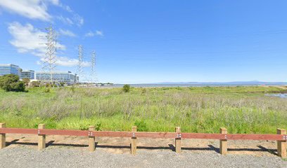
Coyote Point Recreation Area
0.7 km
Discover bayside fun at Coyote Point Recreation Area: hiking, beaches, museums, and stunning views await in San Mateo!
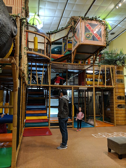
Safari Run, San Mateo
1.3 km
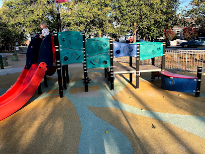
San Mateo's ultimate indoor playground for kids: jungle-themed adventures, fitness programs, and unforgettable birthday parties!
Namit bay view
1.3 km
Experience breathtaking bay views and tranquil moments at Namit Bay View, Burlingame's scenic coastal retreat. Perfect for photographers and nature lovers.
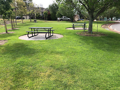
Harborview Park
1.5 km
Experience tranquility at Harborview Park, San Mateo's beautiful green space perfect for families, picnics, and outdoor activities amidst stunning views.
Washington Park
1.7 km
Experience the beauty of Washington Park in Burlingame, a perfect destination for families and nature lovers alike with playgrounds, picnic spots, and scenic trails.
Ryder Park
2.3 km
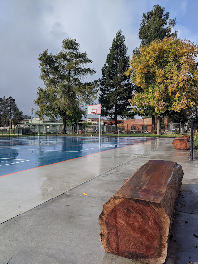
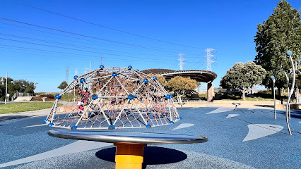
Discover bayfront beauty and recreation at Ryder Park in San Mateo, offering trails, playgrounds, and picnic spots for the whole family.
Seal Point Park
2.8 km
Discover scenic trails, art installations, and a vibrant dog park at San Mateo's Seal Point Park, a restored shoreline treasure on the San Francisco Bay.
De Anza Historical Park
3.0 km
Explore California's past at De Anza Historical Park, a peaceful retreat commemorating the Juan Bautista de Anza expedition in a serene setting.
San Mateo Japanese Garden
3.0 km
Experience tranquility in the heart of San Mateo at the Japanese Garden, a serene oasis of traditional design and cultural harmony.
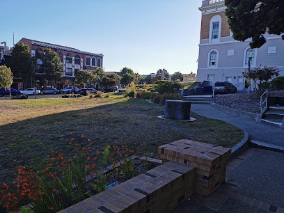
San Mateo Central Park
3.1 km
Discover San Mateo Central Park: a historic urban oasis with gardens, recreation, and community events for all ages to enjoy.
Fairy Garden
3.2 km
Explore the whimsical Fairy Garden in Central Park, San Mateo, where enchanting landscapes and charming fairy houses await your discovery.
City of Burlingame Shorebird Sanctuary
3.5 km
A tranquil San Francisco Bay sanctuary for migratory birds and nature lovers, offering scenic trails and prime birdwatching opportunities.
Essential places to dine
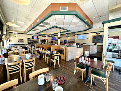
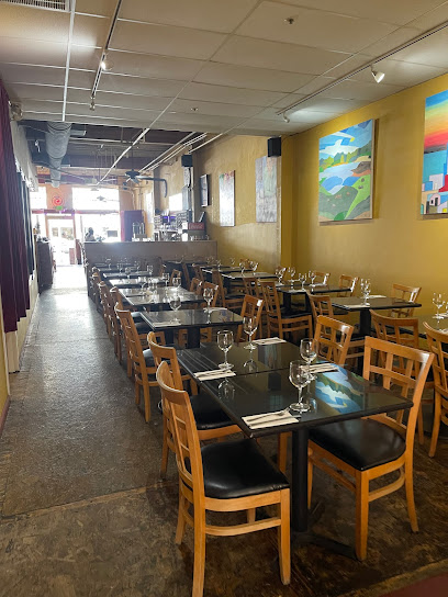
Rise Woodfire San Mateo
2.4 km
Discover Rise Woodfire in San Mateo: A premier New American restaurant offering wood-fired pizzas and innovative dishes in a cozy atmosphere.
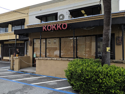
Kokko
2.4 km
Experience the rich flavors of Japan at Kokko in San Mateo - a must-visit destination for yakitori lovers.
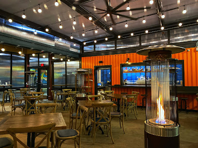
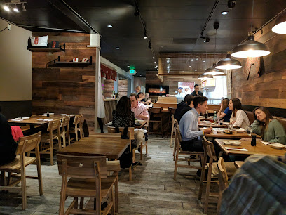
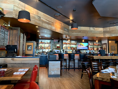
Wursthall
2.4 km
Discover Wursthall in San Mateo: where New American cuisine meets German tradition in a warm and inviting atmosphere.
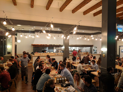
Swing Shift San Mateo
2.4 km
Discover delicious American cuisine at Swing Shift San Mateo—where comfort food meets cozy ambiance in the heart of California.
Bangkok Patio Restaurant
2.5 km
Savor authentic Thai dishes in a cozy atmosphere at Bangkok Patio Restaurant - a top dining spot in San Mateo offering vegetarian options.
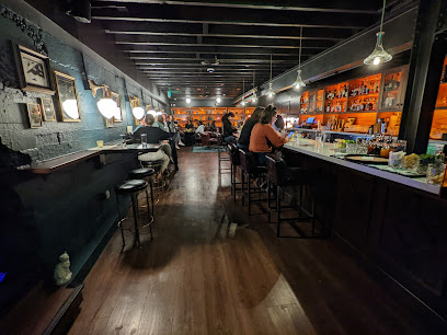
Porterhouse
2.5 km
Indulge in prime steaks and exquisite American cuisine at Porterhouse in San Mateo - where every meal is a celebration of flavor.
Bay Watch San Mateo
2.6 km
Experience delicious American breakfast and brunch at Bay Watch San Mateo – where every meal feels like home.
Daeho kalbijjim & beef soup
2.6 km
Experience authentic Korean cuisine at Daeho Kalbijjim & Beef Soup – home of delicious kalbijjim and flavorful beef soups.
Pacific Catch
2.6 km
Discover delicious seafood with a Hawaiian twist at Pacific Catch in San Mateo – where freshness meets flavor in every bite.
Dash Japanese Tapas and Sushi
2.6 km
Experience authentic Japanese flavors blended with modern flair at Dash Japanese Tapas and Sushi in San Mateo.
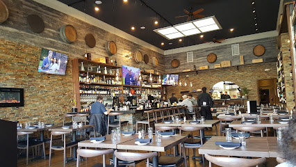
The Barrel Bistro and Wine Bar
2.6 km
Experience gourmet dining at The Barrel Bistro and Wine Bar in San Mateo - where exquisite flavors meet an extensive wine selection.
Urban Momo
2.6 km
Discover Urban Momo in San Mateo: A delightful Asian fusion restaurant offering innovative dishes in a vibrant setting.
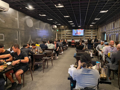
Happy Lamb Hot Pot, San Mateo 快乐小羊
2.6 km
Discover an authentic hot pot dining experience at Happy Lamb Hot Pot in San Mateo, where flavor meets tradition in every bubbling bowl.
Avenida Restaurant
2.7 km
Experience authentic Filipino cuisine at Avenida Restaurant in San Mateo - where tradition meets flavor.
B Street & Vine
2.7 km
Discover the vibrant flavors at B Street & Vine in San Mateo – where fresh ingredients meet culinary creativity in a cozy bistro setting.
Markets, malls and hidden boutiques
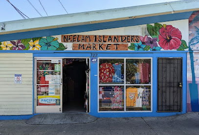
Neelam Islanders Market
2.2 km
Explore the treasures of Neelam Islanders Market, where island culture meets unique gifts and souvenirs in the heart of San Mateo.
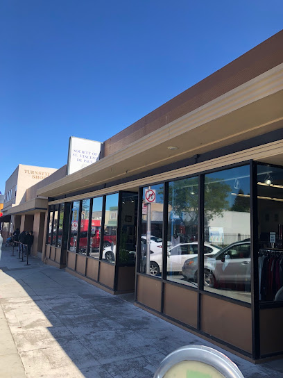
Turnstyle Thrift Shop
2.3 km
Explore the charm of Turnstyle Thrift Shop in San Mateo, California, where every visit can lead to discovering unique treasures and supporting the community.
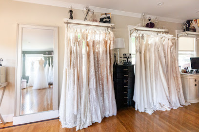
Nouvelle Vogue | Bridal Boutique near San Francisco Bay Area
2.4 km
Discover the elegance of Nouvelle Vogue Bridal Boutique, where every bride finds her dream gown in the San Francisco Bay Area.
Shoreview Shopping Center
2.5 km
Discover the ultimate shopping experience at Shoreview Shopping Center in San Mateo, offering diverse shops and delightful dining options for every visitor.
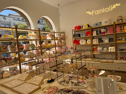
Fanloli
2.5 km
Explore Fanloli in San Mateo for unique gifts and quality beauty supplies that capture the essence of California's vibrant culture.
Thrift Shop St. Matthew's Episcopal Church
2.6 km
Explore St. Matthew's Episcopal Church Thrift Shop in San Mateo for unique finds and a chance to support local charity with every purchase.
Los Amigos Imports
2.6 km
Explore Los Amigos Imports in San Mateo for unique gifts and candles while enjoying exceptional money transfer services.
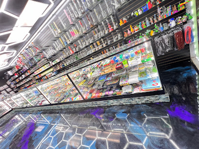
GALAXY SAN MATEO
2.8 km
Discover Galaxy San Mateo - Your destination for high-quality smoking products and accessories in the heart of California.
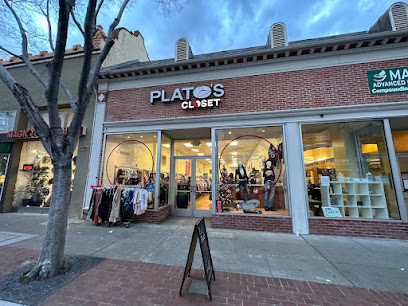
Plato's Closet San Mateo
2.8 km
Explore Plato's Closet in San Mateo for trendy, gently used clothing and accessories at unbeatable prices in a vibrant shopping atmosphere.
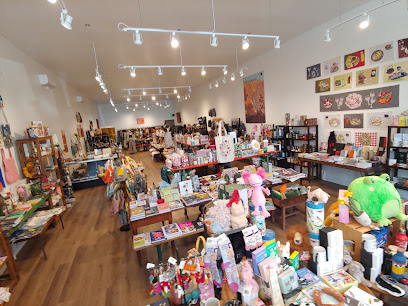
Golden Moon Gallery
2.9 km
Explore Golden Moon Gallery in San Mateo for a delightful selection of local and international art, perfect for collectors and casual visitors alike.
Therapy Stores
2.9 km
Explore Therapy Stores in San Mateo for unique gifts and stylish clothing, a perfect stop for tourists seeking special souvenirs.
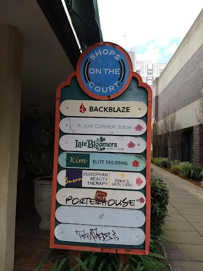
Shops On The Court
2.9 km
Discover the ultimate shopping experience at Shops On The Court in San Mateo, where variety meets vibrant atmosphere for a perfect day out.
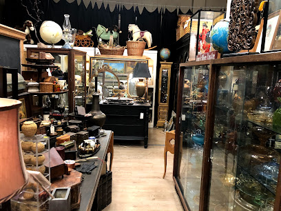
Come C Interiors
3.1 km
Explore the charm of antique shopping at Come C Interiors in San Mateo, where every piece tells a story and showcases timeless craftsmanship.
Perfect Details
3.7 km
Explore Perfect Details, a jewelry boutique offering unique fine and costume jewelry, perfect for memorable souvenirs and gifts.

Borel Square Shopping Center
4.5 km
Explore Borel Square Shopping Center in San Mateo for a delightful mix of shopping, dining, and entertainment in a vibrant setting.
Essential bars & hidden hideouts
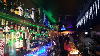
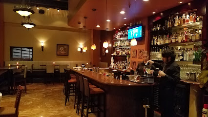
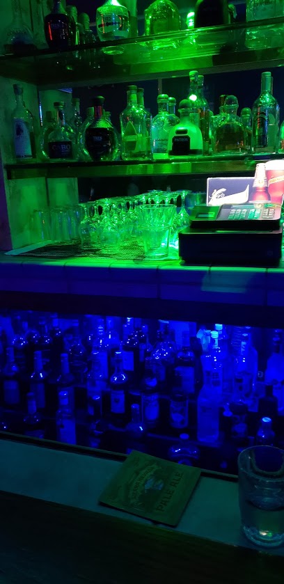
Wunderbar
2.4 km
Discover the vibrant atmosphere and innovative cocktails at Wunderbar, a must-visit bar in Central San Mateo for an unforgettable nightlife experience.
O'Neills Irish Pub
2.5 km
Experience the vibrant atmosphere of O'Neills Irish Pub in San Mateo, where delicious food, live music, and friendly faces await.
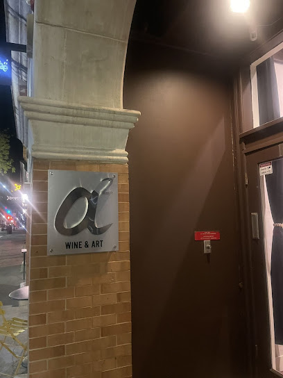
A2
2.5 km
Explore A2 in San Mateo, a chic bar featuring an exceptional wine selection and a cozy atmosphere perfect for relaxation and socializing.
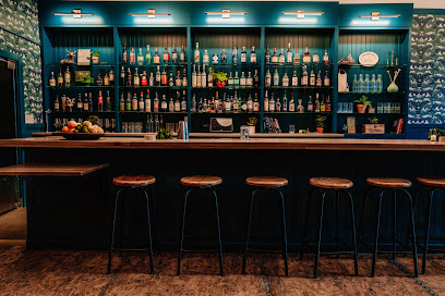
Mortar & Pestle Bar
2.5 km
Discover a unique bar experience at Mortar & Pestle Bar with Indian-inspired cocktails and a lively atmosphere in Central San Mateo.
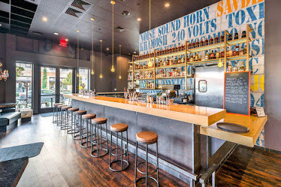
Fogbird
2.5 km
Experience the vibrant atmosphere of Fogbird, a chic lounge in San Mateo, offering exquisite cocktails and delectable bar bites in a stylish setting.
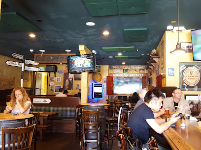
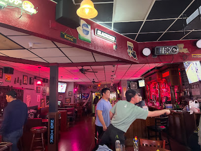
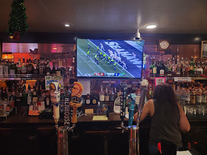
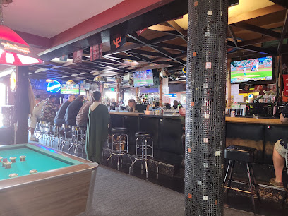
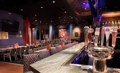
Eddie's Sports Bar
2.6 km
Experience the vibrant atmosphere and extensive drink selection at Eddie's Sports Bar, a top choice for nightlife in San Mateo.
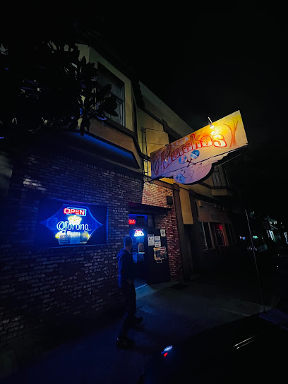
McGovern's Bar
2.8 km
Join the vibrant nightlife at McGovern's Bar in San Mateo, a lively spot for cocktails, craft beers, and unforgettable social experiences.
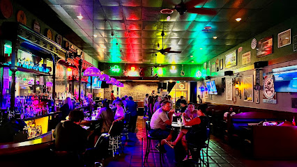
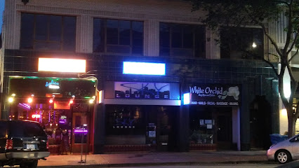
Sky Lounge
2.8 km
Discover the vibrant atmosphere and stunning skyline views at Sky Lounge, San Mateo's premier rooftop bar for cocktails and relaxation.
Yuppie Cantina
3.0 km
Discover Yuppie Cantina in San Mateo, a lively bar offering a fantastic drink selection and vibrant atmosphere for a perfect night out.
Bucky's Cocktail Lounge
4.1 km
Discover the vibrant ambiance and extensive cocktail menu at Bucky's Cocktail Lounge, the perfect spot for relaxation and fun in San Mateo.
Route 92 Sports Bar
4.9 km
Route 92 Sports Bar: Your go-to destination for sports, delicious food, and a lively atmosphere in San Mateo, California.
The Swingin' Door
5.3 km
Discover the lively atmosphere of The Swingin' Door in San Mateo, where delicious fish & chips, karaoke, and live music await every night.
Steamies Bar
6.4 km
Experience the vibrant nightlife of San Mateo at Steamies Bar, where craft drinks and a lively atmosphere await.
Antone's Cocktail Lounge
6.7 km
Experience the vibrant atmosphere and sports excitement at Antone's Cocktail Lounge in San Mateo, where every night is a celebration.
The Field Club
7.7 km
Discover The Field Club, a charming bar and American restaurant in San Mateo offering delicious food, a vibrant atmosphere, and a great selection of drinks.
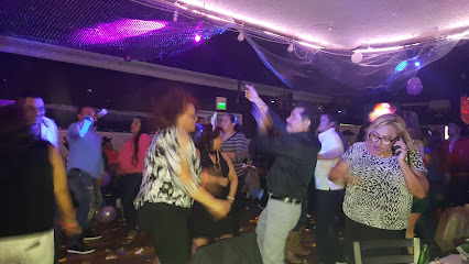
Nightclubs & after hour spots
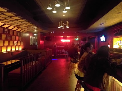
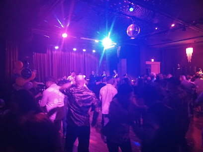
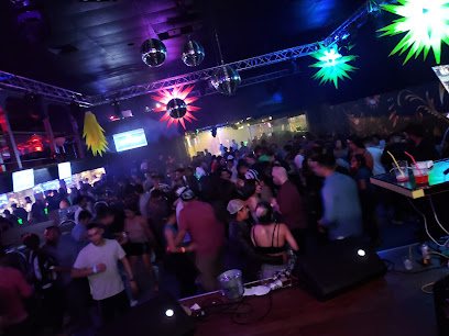
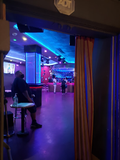
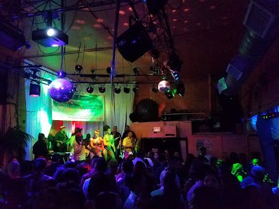
SMPGHQ
2.0 km
Experience the vibrant nightlife at SMPGHQ, San Mateo's premier dance club, where music, energy, and unforgettable memories come together.
Vinyl Room
2.1 km
Experience the vibrant nightlife at Vinyl Room, a stylish lounge in Burlingame, California, known for its exquisite cocktails and energetic atmosphere.
Roberto Lee Shipping
4.5 km
Discover the pulse of San Mateo's nightlife at Roberto Lee Shipping, a premier night club for unforgettable experiences and lively entertainment.
The Clubhouse Bistro
5.3 km
Experience the vibrant nightlife at The Clubhouse Bistro in Foster City, where delicious food and great drinks come together for unforgettable evenings.
Atlas Lounge
8.6 km
Discover the electrifying nightlife at Atlas Lounge in San Bruno, where vibrant music, exquisite drinks, and unforgettable memories await you.
Club Maraka's
10.3 km
Discover the vibrant nightlife at Club Maraka's, a lively bar in Downtown South San Francisco serving up great drinks and an unforgettable atmosphere.
Varbershopflow
10.6 km
Dance the night away at Varbershopflow, South San Francisco's premier disco club, where unforgettable nightlife experiences await.
MAYA NIGHTCLUB
14.6 km
Discover the electrifying atmosphere of Maya Nightclub in Redwood City, where live music, dancing, and unforgettable nights await you.
Redwood City Elks Lodge #1991
15.9 km
Discover the Redwood City Elks Lodge #1991: A vibrant fraternal organization and event venue showcasing local tradition and community spirit.
El Toro Night Club
17.2 km
Experience the pulse of San Francisco's nightlife at El Toro Night Club, where music and fun collide in a vibrant atmosphere.
Pura club
17.4 km
Dance the night away at Pura Club, San Francisco's premier nightlife destination, where music and vibrant energy collide for an unforgettable experience.
Stratos Nightclub
18.1 km
Dive into the electrifying nightlife of Stratos Nightclub, where music, dance, and unforgettable moments come together in San Francisco's vibrant scene.
Club Malibu
19.0 km
Discover the electrifying atmosphere of Club Malibu, the heart of San Francisco's nightlife, offering diverse music and unforgettable experiences.
Lucitas Nightclub
19.2 km
Discover the lively ambiance and delightful drinks at Lucitas Nightclub, a must-visit bar in San Francisco's Bernal Heights neighborhood.
Club 26 Mix
19.5 km
Discover the energetic nightlife of San Francisco at Club 26 Mix, where vibrant music and lively crowds create unforgettable nights.