Mols Bjerge National Park
Rolling Ice Age hills, heaths and coastline on Djursland, where free-to-enter Danish wilderness meets Bronze Age mounds, grazing horses and Kalø Castle ruin.
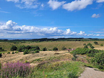
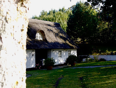
Stretching across 180 square kilometres of rolling hills, heathland, forest and coastline on the Djursland peninsula, Mols Bjerge National Park is one of Denmark’s most distinctive Ice Age landscapes. Here glacially carved ridges rise to 137 metres, Bronze Age burial mounds crown the heights, and trails weave past grazing horses, coastal bays and the medieval Kalø Castle ruin. It is a year-round, free-to-enter natural playground for walkers, cyclists, nature lovers and families.
A brief summary to Mols Bjerge National Park
- Molsvej 29, Rønde, 8410, DK
- +4572170714
- Visit website
- Duration: 2 to 8 hours
- Free
-
 Outdoor
- Mobile reception: 4 out of 5
Local tips
- Pack layers and a windproof jacket even in summer; the exposed hills catch strong breezes, and weather can change quickly on the open ridges.
- Pick up maps and current trail information at the visitor centre near Rønde or Strandkær before heading into the hills for longer hikes.
- Bring water and snacks for the longer sections of the Mols Bjerge Trail, as services are sparse once you leave towns and villages.
- Wear sturdy footwear; many paths are uneven, with roots, steep sections and muddy stretches after rain, especially in ravines and wetlands.
- Respect grazing animals by keeping a calm distance and closing gates behind you; dogs should remain on a leash where signposted.
For the on-the-go comforts that matter to you
- Restrooms
- Seating Areas
- Picnic Areas
- Trash Bins
- Information Boards
- Visitor Center
Getting There
-
Regional bus from Aarhus
From central Aarhus, take the regional bus towards Rønde, a journey of around 35–50 minutes depending on the service. Buses typically run at least once an hour during the day and drop you in Rønde, close to information about the national park and connecting routes towards Kalø Castle and other entrances. A single adult ticket generally costs in the range of 30–60 DKK within the regional fare system. This option is convenient if you prefer not to drive and offers good flexibility for day trips.
-
Car from Aarhus to Rønde and Kalø area
Driving from Aarhus to the main western gateway near Rønde and the Kalø Castle area usually takes 30–40 minutes in normal traffic. The route follows main regional roads and is straightforward year-round, though it can be busier at weekends and in summer. Parking at popular access points such as near Kalø Castle ruin or key trailheads is typically free or low cost, but spaces can fill up in peak holiday periods, so arriving earlier in the day helps secure a spot.
-
Cycling from nearby Djursland towns
From nearby towns on Djursland, such as Rønde or Ebeltoft, experienced cyclists can reach different parts of the national park in roughly 30–60 minutes by bike, depending on starting point and route. Roads are generally quiet and complemented by local cycle paths, but hills in the park area can be steeper than elsewhere in Denmark. This low-cost option is best for those comfortable sharing the road with local traffic and prepared for variable weather.
-
Hiking the Mols Bjerge Trail
For multi-day walkers already on Djursland, the 80 km Mols Bjerge Trail connects Rønde with Ebeltoft via four day stages of about 20 km, each taking roughly 5–7 hours. Public bus line 123 links the endpoints of the stages, making it easier to plan day hikes or return to accommodation after finishing a section. Walking is free, but you should budget for any bus fares and overnight stays if you spread the trail over several days.
Mols Bjerge National Park location weather suitability
-
 Any Weather
-
 Clear Skies
-
 Windy Conditions
-
 Hot Weather
-
 Cold Weather
-
 Mild Temperatures
Discover more about Mols Bjerge National Park
Ice Age Hills Shaping a Danish National Park
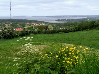
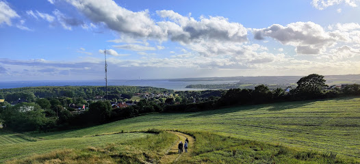
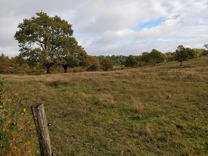
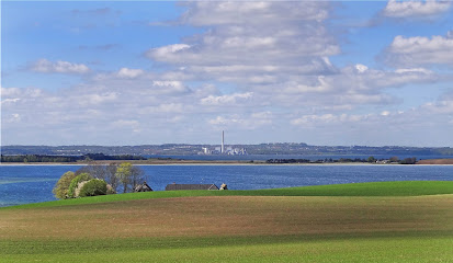
Mols Bjerge National Park spreads over much of southern Djursland, its undulating hills and deep meltwater valleys created at the end of the last Ice Age. The landscape rises to 137 metres at the Mols Hills, which might sound modest, yet here the ridgelines feel strikingly high against the surrounding sea and farmland. From many summits you look out over a patchwork of woods, heath, fields and coves, with Kalø Bay and the Kattegat Sea shimmering on the horizon. The protected area extends around 180 square kilometres, mixing state-owned land with farms, villages and summer houses. This blend of wild nature and gently cultivated countryside is part of the park’s character. You can move in minutes from wind-scoured grasslands to beech forest, from quiet lakes and bogs to bright sandy beaches. More than half of all wild Danish plant species are said to find a niche here, reflecting the extraordinary variety of habitats.Wildlife, Heaths and Grazing Horses
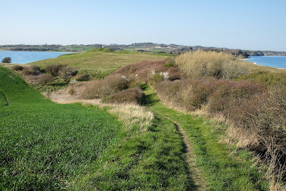
Across the sunlit slopes you may encounter hardy grazing schemes that keep the grasslands open: cattle, sheep and, in some areas, semi-wild horses. Their browsing helps preserve rare dry grassland communities rich in flowers and insects. In late summer, heather paints the hillsides purple, while juniper and hawthorn twist in the wind, giving the terrain a rugged, almost steppe-like feel. Red and roe deer slip between forest edges at dusk, hares sprint across open fields, and foxes patrol hedgerows. Overhead, buzzards and red kites circle on thermals, and skylarks rise singing from meadows. Around lakes and coastal shallows, waders and gulls feed, especially near Stubbe Lake and the sheltered inlets. Even in busy seasons it is easy to find a quiet pocket where only birdsong and wind in the grasses break the silence.Trails, Viewpoints and Lakeside Wandering
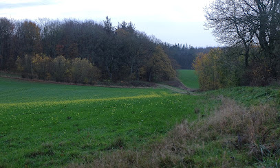
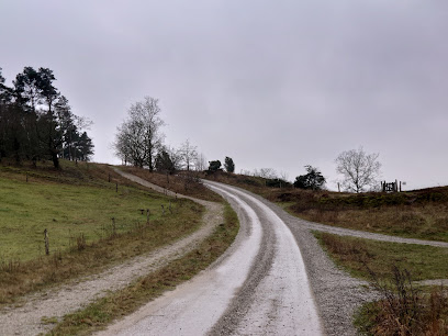
The park is laced with waymarked routes, from short family loops to the 80-kilometre Mols Bjerge Trail that links Rønde with Ebeltoft in four day-stages. Sections lead through dramatic ravines shaded by gnarled trees, along old sunken lanes and across hilltops punctuated by Bronze Age burial mounds. From summits such as Agri Bavnehøj you gain expansive views across bays, islands and the broader Djursland peninsula. Shorter routes explore forests near Kalø Castle ruin, the shores of Stubbe Lake and lowland wetlands where boardwalks and soft paths bring you close to reed beds and moorland pools. Many car parks have simple trailheads and area maps, making it easy to choose an outing that matches your time and fitness. Cyclists also find signed routes, from leisurely lanes to more demanding off-road tracks near Ebeltoft.History in the Landscape from Mounds to Castle Ruins
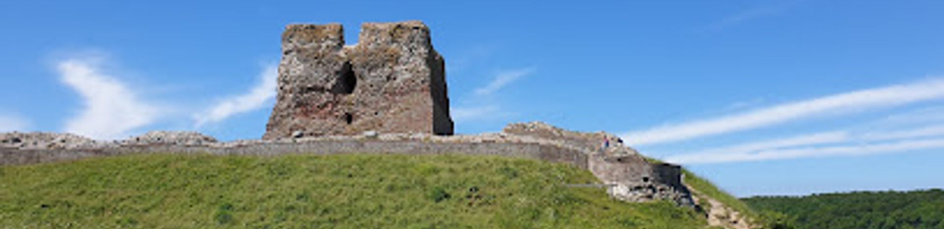
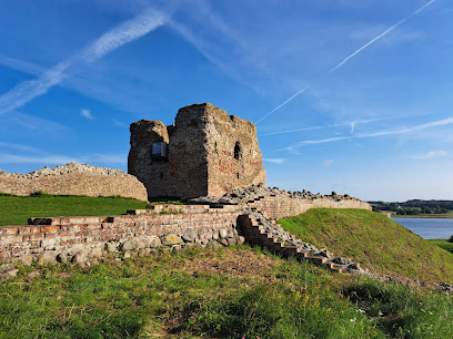
Human stories are layered thickly into Mols Bjerge. Round and elongated burial mounds dot the ridges, some towering above the surroundings as they have for millennia. From these ancient vantage points you can imagine how generations have watched over the same bays and fields. Old manor houses frame the more fertile lowlands, surrounded by hedges, avenues and small patches of woodland. One of the park’s most recognisable landmarks is Kalø Castle ruin, a 14th-century stronghold set on a small peninsula in Kalø Bay. Crumbling stone walls and foundations trace the outline of towers and courtyards, while the surrounding shoreline and woods offer gentle walks rich in birdlife. Elsewhere, you encounter traces of past agriculture in stone fences, abandoned fields and former production forests gradually being allowed to grow wilder.Everyday Encounters and Seasonal Atmosphere
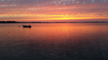
Because the park is free and open year-round, it fits naturally into local daily life as well as longer journeys. On a clear spring day, skylarks and emerging flowers lend a bright energy to the hills. Summer brings longer hikes, picnics in grassy hollows, and swims from nearby beaches. Autumn cloaks the forests in gold and russet, perfect for quieter rambles beneath beech and oak. In winter, low light and occasional frost or snow pick out the contours of the Ice Age terrain in stark relief. Visitor information is centred at Strandkær and in Rønde, where you can learn more about geology, species and current projects. Simple facilities such as restrooms, signed paths and information boards are spread across key access points, but most of the park remains deliberately unmanicured. The essence of Mols Bjerge lies in its shifting skies, its glacial forms and the sense of space they create, inviting you to slow down and absorb a particularly Danish expression of wildness.Iconic landmarks you can’t miss
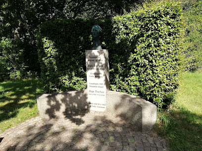
Mindesten for Egil Fischer
9.6 km
A quiet memorial honoring Denmark's visionary architect and pioneer of planned communities.
Olaf Ryes Skanse
13.8 km
A 19th-century Danish military fortification honoring a war hero with commanding views across the Jutland landscape.
Trøjborg Beboerhus
20.5 km
Experience the vibrant community spirit of Aarhus at Trøjborg Beboerhus, a hub for cultural events, workshops, and local gatherings.
Nordisk Film Cinemas Trøjborg
20.6 km
Experience local Danish cinema culture at Nordisk Film Cinemas Trøjborg—an atmospheric neighborhood movie house blending modern comfort with classic charm in Aarhus.
Folkehuset Trøjborg
21.0 km
Folkehuset Trøjborg blends Danish hygge, vibrant community life, and affordable culture, making it a beloved gathering place in the heart of Aarhus’ Trøjborg district.
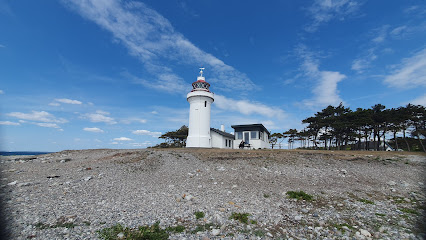
Sletterhage Fyr.
21.0 km
Discover Denmark's maritime history at Sletterhage Fyr. Explore scenic coastal landscapes, hike to WWII landmarks, and enjoy panoramic views of the Kattegat Strait on the Djursland Peninsula.
University Park, Aarhus
21.3 km
Explore seven centuries of art at SMK – Denmark’s national gallery, marrying old masters, modern pioneers, and cutting-edge exhibitions in stunning parkland surroundings.
Aarhus waterfront
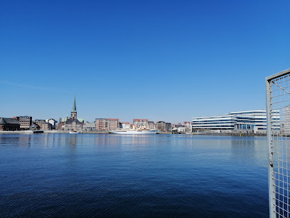
21.5 km
Aarhus Waterfront blends urban vibrancy, Nordic design, and harbor heritage with panoramic sea views and lively promenades, making it a quintessential Danish experience.
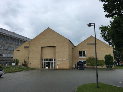
Steno Museum
21.5 km
Explore the Steno Museum in Aarhus, where science and history come alive through engaging exhibits and interactive experiences.
History Hunts med Hvem.nu
21.6 km
Malmo Live Concert Hall blends iconic Nordic architecture, world-class live music, and a vibrant atmosphere in Malmö, just across the bridge from Copenhagen.
Latin Quarter
21.6 km
Winding cobblestone streets, historic facades, and a creative spirit fill Aarhus’s Latin Quarter, the city’s oldest district and its cultural heartbeat.
Herman Sallings Plads
21.6 km
Aarhus’s vibrant harborfront plaza, bridging the historic city and the modern waterfront, alive with urban energy, culture, and panoramic views.
Endless Connection
21.6 km
Experience the dynamic interplay of art and water at Aarhus's Endless Connection, an interactive fountain by Jeppe Hein.
The Occupation Museum
21.7 km
Malmo Live Concert Hall offers world-class music, architecture, and vibrant city energy in the heart of Malmö, steps from the waterfront and cultural highlights.
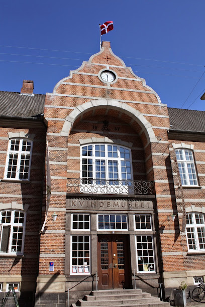
KØN - Gender Museum Denmark
21.7 km
A groundbreaking museum in Aarhus dedicated to gender, identity, and equality, featuring interactive exhibitions in a historic building near the city’s iconic cathedral.
Unmissable attractions to see
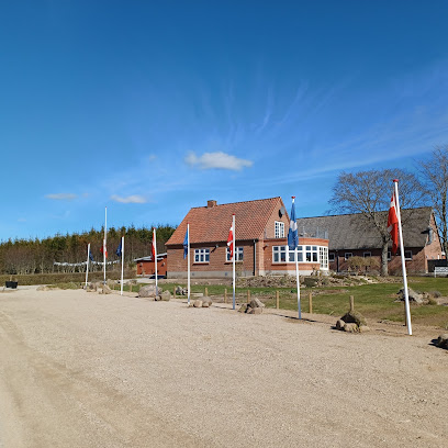
Kalø Castle
1.3 km
Walk Denmark’s longest medieval road to a sea-breezed island, where the weathered stones of Kalø Castle Ruins tell stories of kings, rebels and a daring escape.
Jagtslottet, Kalø
2.0 km
A modest 1890s hunting lodge turned tranquil viewpoint, Jagtslottet overlooks Kalø’s forests and castle ruins in the heart of Mols Bjerge National Park.
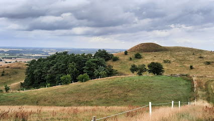
Gravhøj
2.0 km
A 3000-year-old Bronze Age burial mound turned beacon hill, St. Bavnehøj’s Gravhøj above Rønde pairs deep prehistory with wide, wind-swept views over Kalø and Mols.
St. Bavnehøj
2.0 km
Ancient beacon hill and Bronze Age burial mound above Rønde, offering big views over Kalø and Mols Bjerge after a short, steep climb through wind‑swept landscape.
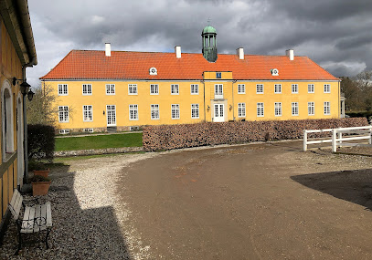
Møllerup
4.6 km
Historic yellow‑timbered manor, working estate and atmospheric rural retreat on the edge of Mols Bjerge National Park in scenic East Jutland.
mounds from the bronze age
5.8 km
Soft grassy mounds on a quiet ridge in Mols, these Bronze Age graves offer big horizons, deep time and a tranquil pause amid Denmark’s rolling farmland.
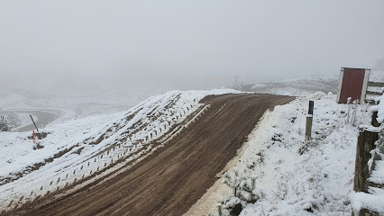
Mols Cross Club
6.7 km
Club-run motocross in the rolling Mols Bjerge landscape, where off-road riders test their skills on a sculpted dirt track just outside coastal Ebeltoft.
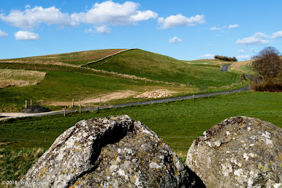
Poskær Stenhus
7.4 km
Denmark’s largest round barrow, Poskær Stenhus blends towering Neolithic stones, quiet fields and soft Mols Bjerge light into a compact, atmospheric time capsule.
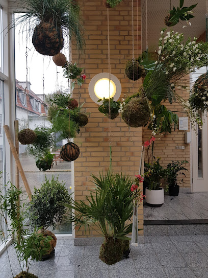
Safis Kokedameri
7.6 km
A tiny kokedama-focused garden in Ebeltoft where plants become living design pieces and a calm pause between town streets and the wilds of Mols Bjerge.
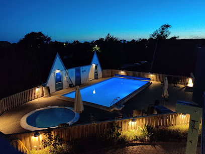
Mols Mountains Holiday Resort
7.9 km
Relaxed holiday base in rural Knebel, placing you within easy reach of Mols Bjerge’s heather‑clad hills, quiet beaches and the atmospheric ruins of Kalø Castle.
Kvalitetssti Mols Bjerge, Bjergetapen
8.0 km
Denmark’s “mountain stage”: a demanding, day-long loop through the heather-clad hills, ravines and far-reaching views of Mols Bjerge near Ebeltoft.
Molsløbet
8.0 km
A one-day trail-running festival that turns quiet Knebel into the gateway to Mols Bjerge’s steep hills, forest paths and wide-open national park views each September.

P-plads Tinghulen
8.1 km
Simple trailhead car park in the heart of Mols Bjerge, giving instant access to Tinghulen’s kettle hole, heather-clad hills and evocative Ice Age scenery.
Mols
8.1 km
A softly contoured Danish peninsula of hills, heather and shallow bays, where Mols Bjerge’s wild ridges meet quiet villages, manor fields and long, sheltered beaches.
Tinghule
8.2 km
A dramatic Ice Age kettle hole in the hills of Mols Bjerge, Tinghule blends striking natural form with quiet atmosphere and hints of ancient local gatherings.
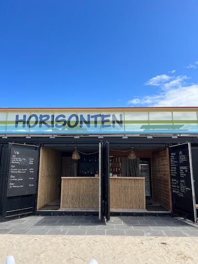
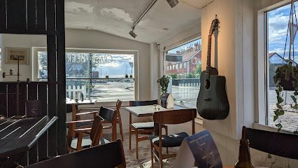
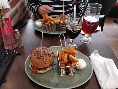
Essential places to dine
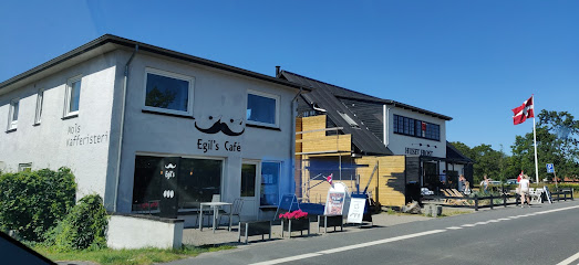
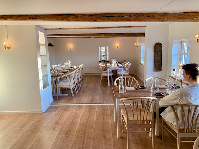
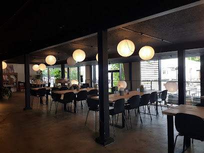
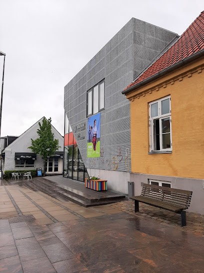
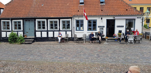
Restaurant Bag Søjlen
1.8 km
Intimate Danish–French dining on Rønde’s main street, pairing warm candlelit ambience with carefully plated seasonal dishes and indulgent desserts.
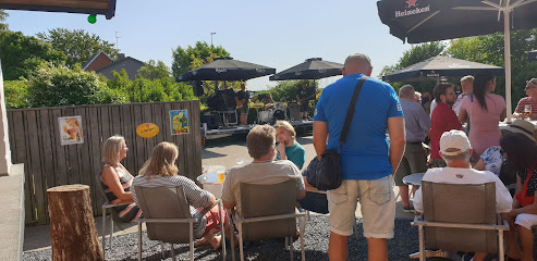
MolsCafeen
6.2 km
Rural cafe and cozy bed and breakfast on Kølbakken, pairing homely Danish cooking with wide countryside views toward the Mols Bjerge landscape near Ebeltoft.
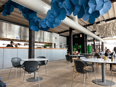
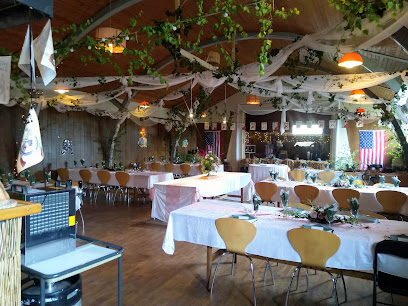
Restaurant Moment
6.7 km
Radically green fine dining in a timber-clad restaurant at Friland, where Nordic tasting menus grow out of the surrounding permaculture gardens and seasons.
Restaurant Mols Bjerge
7.9 km
Authentic Sicilian cuisine and wood-fired pizzas in the heart of Danish countryside, near Mols Bjerge.
Restaurant Skovmøllen Femmøller
8.2 km
Authentic Danish comfort food beside a peaceful mill pond, where tradition meets genuine hospitality.
Knebel Bro Pizza Grill
9.0 km
Casual harbour-neighbourhood pizzeria and grill in Knebel, serving hearty, inexpensive takeaway classics to sailors, locals and holidaymakers on the Mols peninsula.
Labacate Café
9.7 km
Brazilian warmth, specialty coffee and artisan sourdough in a cozy coastal café just steps from the beach in Femmøller near Ebeltoft.
Molskroens Isbod
9.9 km
Casual seaside ice cream stand near Mols Bjerge and Ebeltoft, serving classic Danish soft ice and scoops to beachgoers, walkers and cyclists on sunny days.
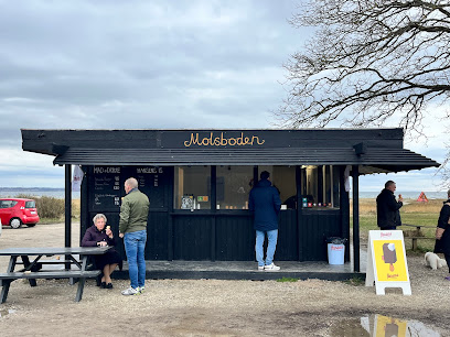
Molsboden
9.9 km
A small red beach stand at Femmøller Strand serving burgers, ice cream and local drinks, perfectly placed between Ebeltoft’s calm bay waters and the hills of Mols.
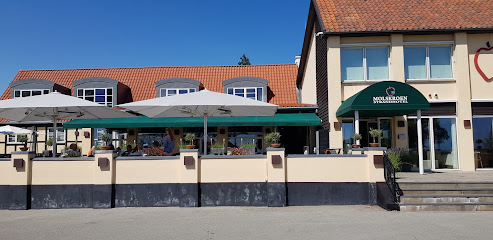
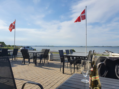
Molskroen Strandhotel og Molskroens Brasserie
9.9 km
A coastal Danish strandhotel pairing sea views, Nordic comfort and refined local cuisine on the edge of Mols Bjerge National Park near Ebeltoft.
Stenbækhus / mad på Mols
12.0 km
Family-run Danish kitchen celebrating seasonal ingredients and coastal charm in Knebel's welcoming courtyard.
Restaurant Bindingsværket
14.3 km
Refined seasonal Nordic cuisine in a traditional half-timbered farmhouse, surrounded by the quiet fields of Drammelstrup on Djursland.
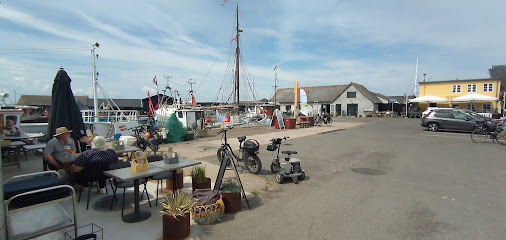
Karens Brasserie
15.3 km
Comforting Danish home cooking and generous brunches by Ebeltoft’s harbour, where casual brasserie dining meets views towards the historic frigate Jylland.
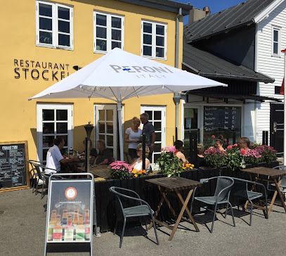
Restaurant Stockfleth
15.4 km
Harbourfront hygge in a historic fillet factory, serving fresh Danish seafood, hearty classics and steaks with wide Ebeltoft harbour views from terrace and table.
Lundbergs Spisehus
15.4 km
Laid‑back Nordic cooking, freshly baked bread and courtyard vibes inside Ebeltoft’s red‑brick Maltfabrikken creative hub.
Markets, malls and hidden boutiques
Troldhedesten
4.2 km
Coastal fitness hub where quality equipment meets active Danish living.
EnergyBar.nu
4.7 km
Compact organic food shop in rural Vrinners, specializing in Danish-made energy bars and protein products that power explorations around Knebel and Mols Bjerge.
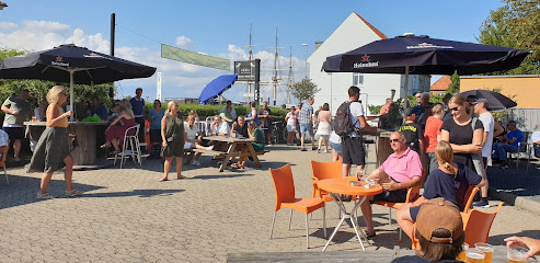
Is På Toppen - Outdoor Cykel- og Vandrecafe
6.4 km
Beloved outdoor café and ice cream bar at the edge of Mols Bjerge National Park, renowned among hikers and cyclists for homemade treats and countryside atmosphere.
Nixn
7.2 km
Curated contemporary fashion in charming Danish countryside retail.
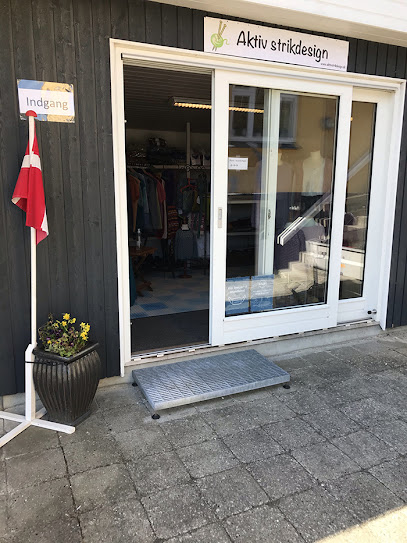
Aktivstrikdesign
7.5 km
Where yarn, community, and Danish hygge come together in a welcoming knitting space.
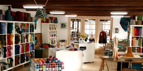
Garn10
7.7 km
A cozy village yarn shop in Knebel where shelves of color, texture, and Nordic fibers invite you to slow down, browse, and bring home a creative Danish souvenir.
Miss A - Gaveideer og indretning til dit hjem
7.8 km
Curated gifts and home décor in the heart of scenic Mols Bjerge
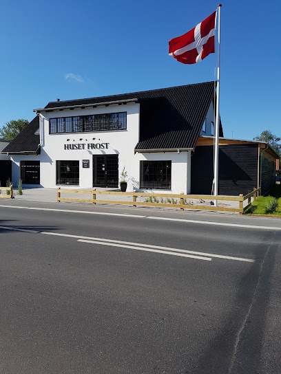
Huset Frost
9.7 km
Experience the fusion of gourmet dining and sustainable design at Huset Frost in Ebeltoft.
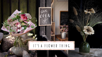
It’s a Flower Thing
9.7 km
Handcrafted ceramics and seasonal flowers grown in harmony with nature's rhythms.
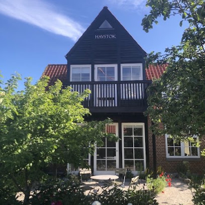
Havstok
9.8 km
Handcrafted rustic furnishings in Denmark's charming maritime heritage town.
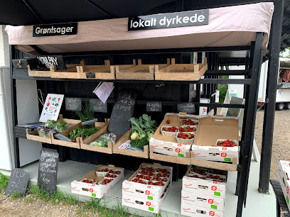
Mols Haven
10.6 km
A cosy countryside fruit and vegetable store in Knebel, offering seasonal Danish produce and a friendly village welcome on the doorstep of Mols Bjerge.
Bundgaards Vinimport/ Molshonning v/ Ole Bundgaard
12.7 km
Small-scale wine importer and honey producer in a Mols village home, blending European bottles and local Molshonning in a relaxed, personal cellar-style setting.
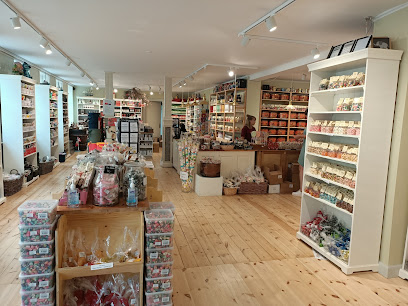
Mols Bolsjer A/S
15.5 km
Cosy old-town sweet shop in Ebeltoft, showcasing handmade Danish boiled candies and licorice from local production, perfect for treats and edible souvenirs.
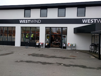
WestWind Ebeltoft
15.5 km
Coastal clothing and outdoor gear on Ebeltoft’s waterfront road, keeping visitors warm, dry and comfortable for walks, beach days and bay-side adventures.
Nordic Bar Group
18.0 km
Denmark's trusted supplier of professional bar equipment and sustainable glassware to European hospitality.
Essential bars & hidden hideouts
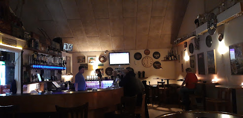
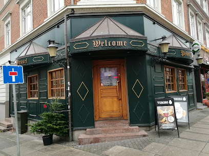
Bodega Kringlen v/Annelise Dalgaard
1.9 km
Unpretentious local bodega on Rønde’s main street, serving cold beer, simple drinks and small-town Danish bar atmosphere late into the evening.
Mørke Roadhouse
8.9 km
Unpretentious beer hall on Ebeltoftvej where locals and travelers share cold pints, warm conversation, and long, easygoing evenings in small-town Mørke.
Mejeriets Bar
9.7 km
Cozy neighbourhood bar and eatery by the harbour in Knebel, offering simple food, evening drinks and a relaxed local atmosphere after days out on Djursland.
Byportene Bodega
10.4 km
Cozy neighborhood bodega in Hornslet with cold beers, warm lighting and easygoing local charm for unpretentious evenings out.
Ebeltoft Strandbar
15.3 km
Laid-back beachfront bar on Ebeltoft Bay, serving simple seaside food, cold drinks and big-sky sunsets just steps from the sand on Strandvejen.
Umage Ølbar
15.4 km
Craft beer bar in Ebeltoft with 14 taps, 50+ bottled beers, and comfort food.
Stockfleths Østers & Bobbelbar
15.4 km
Former oyster and bubbles bar on Ebeltoft’s old fishing harbour, where luxury shellfish, sparkling wine and maritime history came together in a relaxed coastal setting.
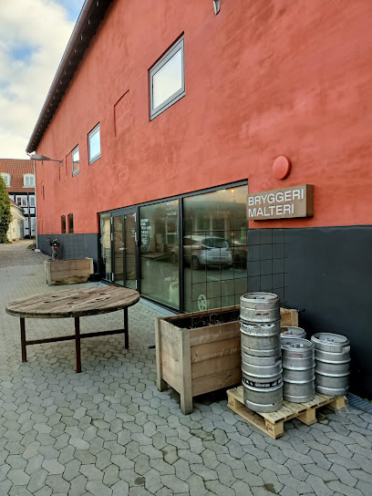
Brewpub på Maltfabrikken
15.4 km
Fresh local beer served beneath the beams of Ebeltoft’s restored red malt factory, where industrial heritage and modern Danish craft brewing meet.
Toldboden
15.4 km
Relaxed harbourside bar in Ebeltoft, blending maritime character, waterfront views and late-opening drinks in a cosy, casual setting by the marina.
Klub K
15.4 km
Small-town harbor bar turned late-night disco, Klub K keeps Ebeltoft dancing on weekend nights with simple drinks, big beats and an easygoing local vibe.
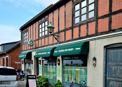
Sir Henry Bodega
15.5 km
Unpretentious Danish bar in Ebeltoft’s cobbled old town, pouring local beers and classic drinks in a cozy, lived-in setting from morning till late.
Bar Pia
15.6 km
Unpretentious neighbourhood bar in central Ebeltoft, offering simple drinks, local atmosphere, and a relaxed glimpse into everyday Danish pub life.
Den Skæve Bar
15.6 km
A crooked timber-framed pub in Ebeltoft's old town, where live music and garden charm meet Danish hospitality.
K
20.5 km
Discover K, the cozy cafe and cocktail bar in Aarhus, where innovative drinks and a warm atmosphere await every visitor.
Peder Wessel
20.6 km
Experience the vibrant nightlife at Peder Wessel, Aarhus' charming bar with affordable drinks and a welcoming atmosphere.
Nightclubs & after hour spots
DCD STUDIO
21.5 km
Experience the vibrant rock music scene at DCD STUDIO in Aarhus, where electrifying performances and a lively atmosphere await every visitor.
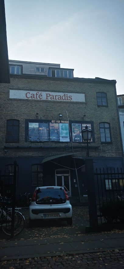
Cafe Paradis - Den Sidste
21.6 km
Unleash your nightlife experience at Cafe Paradis - Den Sidste, Aarhus' top destination for dancing, cocktails, and unforgettable memories.
Bernhardt Natklub
21.8 km
Discover Aarhus' premier nightlife destination at Bernhardt Natklub, where cocktails and beats create unforgettable memories.
GBAR
21.9 km
Experience the vibrant nightlife at GBAR in Aarhus, a welcoming dance club where everyone can enjoy an unforgettable night out.
Lounge 8000
21.9 km
Discover the best of Aarhus nightlife at Lounge 8000, where vibrant performances and a stylish lounge atmosphere await.

ZenZa Cocktailbar
21.9 km
Discover Aarhus' vibrant nightlife at ZenZa Cocktailbar, where expertly crafted cocktails and lively atmosphere await you.
London
21.9 km
Waterfront cocktail bar with twenty signature drinks and late-night dancing for adults 25+
LouLou Aarhus
21.9 km
Experience the vibrant nightlife at LouLou Aarhus, a cocktail bar where creativity meets flavor in the heart of the city.
Rustik Bar & Natklub - Aarhus
22.0 km
Dive into the pulsating nightlife of Aarhus at Rustik Bar & Natklub, where vibrant music and an electric atmosphere await.
For the vibe & atmosphere seeker
- Adventurous
- Relaxing
- Tranquil
- Scenic
- Fun-filled
- Unique
For the design and aesthetic lover
- Rustic Designs
For the architecture buff
- Historic
- Parks & Gardens
- Viewpoints
- Sacred Sites
- Heritage Neighborhoods
- Landmarks
For the view chaser and sunset hunter
- Iconic Views
- Panoramas
- Waterfront
- Sunrise Spots
- Sunset Spots
For the social media creator & influencer
- Instagrammable
- Photo Spots
- Selfie Spots
- Reel-Friendly
- Architectural Shots
For the eco-conscious traveler
- Sustainable
- Eco-Friendly
- Low Impact
- Protected Area
- Nature Reserve
- National Park
- Public-Transport Accessible
- Leave-No-Trace Critical
- Locally Managed
- Wildlife Habitat
For the kind of experience you’re after
- Mindfulness
- Meditation Spot
- Spiritual / Energy Spot
- Myth & Legends
- Cultural Heritage
- Photowalk
- Adventure Photo Shoot
- Nature Escape
- Roadtrip Stop
- Day Trip
- Weekend Getaway
For how adventurous you want the journey to be
- Easy Access
- Requires Hike
Location Audience
- Family Friendly
- LGBT Friendly
- Senior Friendly
- Child Friendly
- Teen Friendly
- Solo Friendly
- Couple Friendly
- Solo Female Friendly
- Vegetarian Friendly
- Vegan Friendly


