GR 400: Tour of the Cantal Volcano
Discover the breathtaking landscapes and rich heritage of the Cantal Volcano on this iconic 140km hiking trail, perfect for both seasoned trekkers and casual nature lovers.
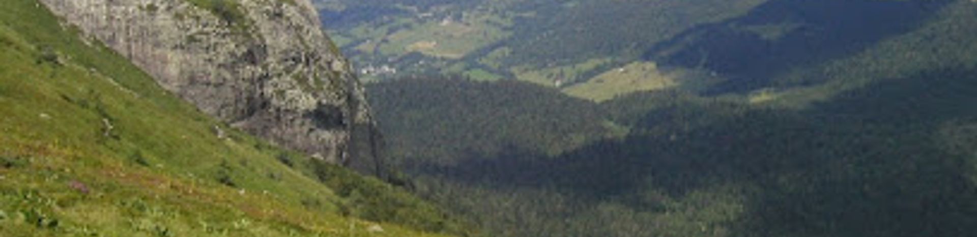
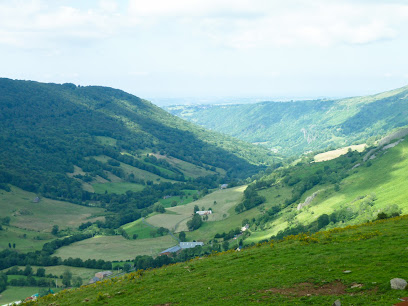
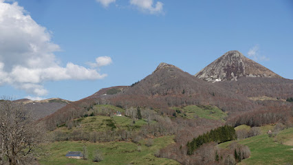
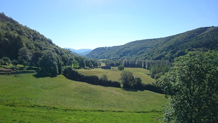
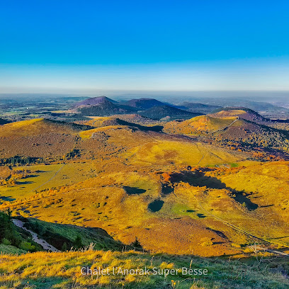
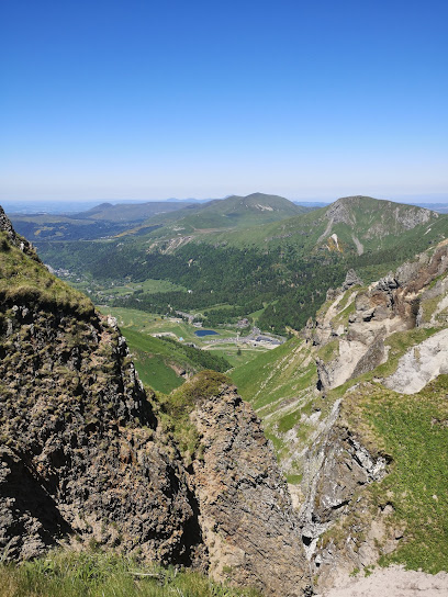
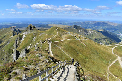
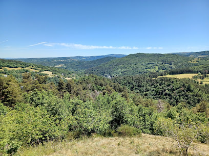
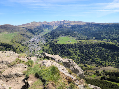
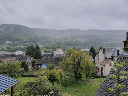
Embark on an unforgettable journey through the heart of the Cantal Volcano, the largest volcano in Europe. The GR 400 hiking trail offers a stunning 140km loop, winding through diverse landscapes of ridges, valleys, and traditional villages. Starting near Murat, this well-marked path caters to both seasoned hikers and casual walkers, with options for shorter loops ranging from 2 to 8 days. Discover breathtaking panoramic views from iconic peaks like Puy Mary and Plomb du Cantal, immerse yourself in the region's rich pastoral heritage, and witness the unique flora and fauna of this protected natural park. The GR 400 promises an authentic and invigorating experience in the heart of the Auvergne.
A brief summary to GR 400 Tour des Volcans du Cantal (Auvergne)
- 2 Av. des 12 et 24 Juin 1944, Murat, 15300, FR
- Visit website
Local tips
- Pack for all types of weather, even in summer, as conditions can change rapidly at higher elevations. Layers are key!
- Take advantage of local markets in towns like Murat to sample regional cheeses, cured meats, and other Auvergne specialties.
- Consider booking accommodation in advance, especially during peak season, as lodging options along the trail can be limited.
Getting There
-
Walking
From the center of Murat, the GR 400 trailheads are generally accessible on foot. Follow local signage indicating 'GR 400' or 'Tour du Volcan du Cantal'. The trail is well-marked, but consulting a map beforehand is advisable. The initial ascent from Murat can be steep in places.
-
Public Transport
Murat is accessible by train. From the Murat train station, the town center and trailheads are within easy walking distance (approximately 10-15 minutes). Local buses may provide access to other nearby villages along the GR 400 route, but schedules can be limited, so check timetables in advance.
-
Driving
If arriving by car, parking is available in Murat, but it can be limited during peak season. Several parking areas are located near the town center. From these parking areas, the trailheads are easily accessible on foot. Be aware that some roads in the Cantal region can be narrow and winding.
Discover more about GR 400 Tour des Volcans du Cantal (Auvergne)
Iconic landmarks you can’t miss
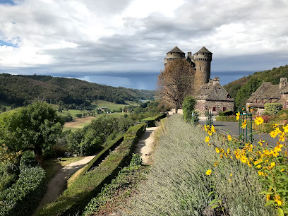
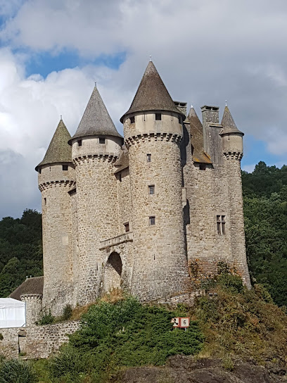
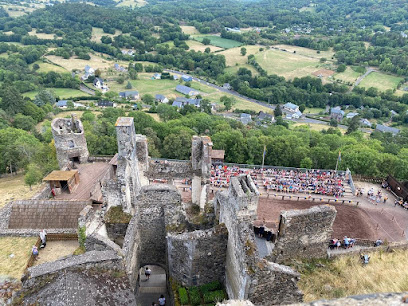
Anjony Castle
31.3 km
Explore Anjony Castle: A majestic medieval fortress with stunning frescoes and rich history in the heart of the Cantal region of France.
Chateau Auvergne France
41.7 km
Experience medieval charm and modern comfort at Château Auvergne France, a historic castle nestled in the scenic landscapes of Aurillac.
Abbatiale Saint Austremoine
56.6 km
Discover the Romanesque splendor of Abbatiale Saint-Austremoine in Issoire, a vibrant testament to Auvergne's rich history and artistic heritage.
Château de Parentignat
57.4 km
Discover the 'Little Versailles of Auvergne' at Château de Parentignat, a preserved 18th-century estate with master paintings and English gardens.
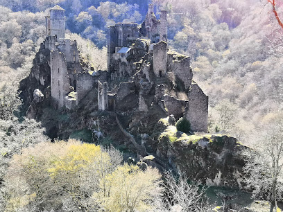
Tours de Merle
62.6 km
Discover the medieval mysteries of Tours de Merle, a unique fortified village in the heart of the Corrèze, where seven noble families once reigned.
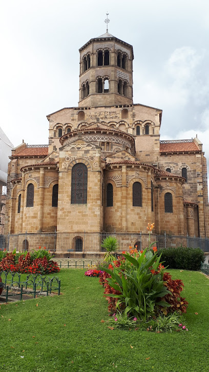
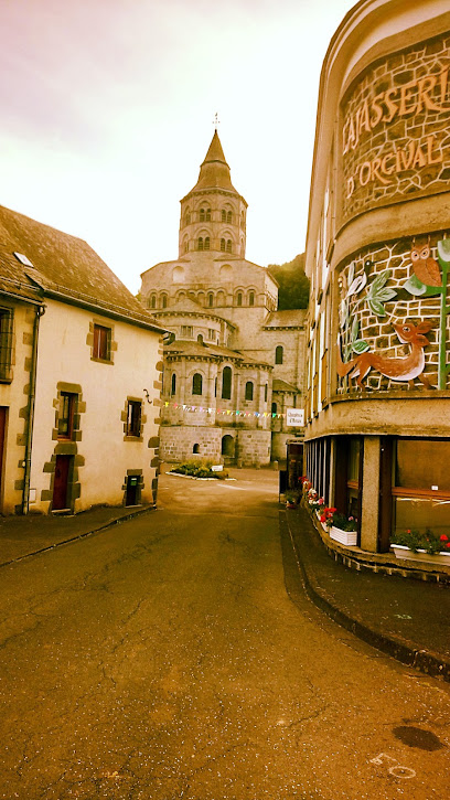
Basilica of Notre-Dame in Orcival
63.6 km
Discover the spiritual and architectural grandeur of the Basilica of Notre-Dame in Orcival, a Romanesque treasure in the heart of Auvergne.
Auvergne Volcanoes Regional Natural Park
65.2 km
Discover France's largest volcanic park: hike ancient trails, explore diverse landscapes, and immerse yourself in Auvergne's natural beauty.
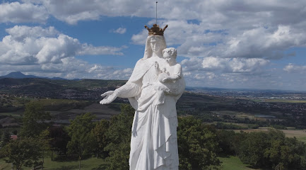
Vierge de Monton
67.1 km
Majestic Virgin Mary statue overlooking the Auvergne landscape, offering panoramic views and a rich history.
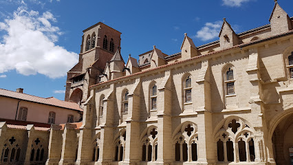
Abbaye de la Chaise-Dieu
68.9 km
Discover a medieval architectural gem in the heart of Auvergne, France, with Gothic art, a rich history, and a serene atmosphere.
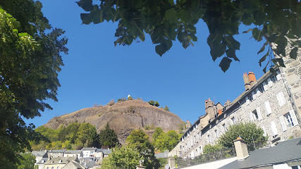
Creux de la Berté
74.5 km
Discover the dramatic landscapes of Creux de la Berté, a volcanic crater in Ceyssat offering panoramic views and unique geological experiences.
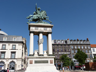
Statue of Vercingetorix
75.9 km
A bronze equestrian statue in Clermont-Ferrand's Place de Jaude, honoring Vercingetorix, the Gallic leader who defied Julius Caesar.
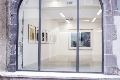
Frac Auvergne
76.2 km
Explore contemporary art at FRAC Auvergne in Clermont-Ferrand: exhibitions, workshops, and a diverse collection await!
Cathedral of Our Lady of the Assumption
76.2 km
Discover Clermont-Ferrand's iconic Gothic cathedral, a striking masterpiece built from black lava stone with soaring spires and stunning stained glass.

Route Historique des Châteaux d'Auvergne
76.3 km
Discover the historical and architectural treasures of Auvergne through its magnificent châteaux and fortresses. Explore themed routes and experience French history.
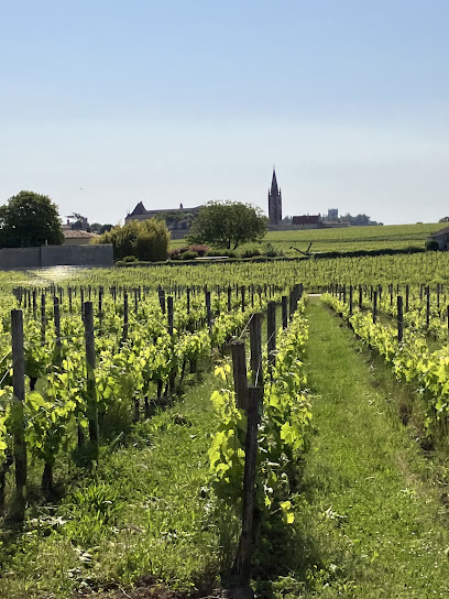
Atlas Bordeaux
77.6 km
Discover Bordeaux's rich wine heritage and breathtaking landscapes with Atlas Bordeaux, your premier tour agency for unforgettable experiences.
Unmissable attractions to see
Tourist Office and the Auvergne Volcanoes Park
0.0 km
Explore the Auvergne Volcanoes Park from Murat: Discover hiking trails, volcanic landscapes, and local culture in the heart of France's largest volcanic region, a UNESCO World Heritage site.
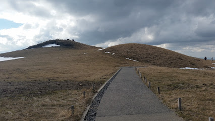
Mounts of Cantal
11.5 km
Discover the breathtaking beauty of the Mounts of Cantal, a volcanic wonderland in the heart of France, offering stunning landscapes, outdoor adventures, and rich cultural experiences.
Source du Par
30.5 km
Discover Europe's hottest natural spring in Chaudes-Aigues, a charming village with a rich geothermal history, offering thermal spas, unique architecture, and stunning landscapes.
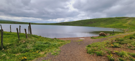
Lac d'en haut La Godivelle
31.0 km
Discover the serene beauty of Lac d'en Haut in La Godivelle, a volcanic crater lake offering stunning landscapes, hiking trails, and a tranquil escape in the heart of the Auvergne region.
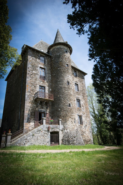
Château de Saint Chamant
33.4 km
Discover centuries of French history at Château de Saint-Chamant, a majestic castle in the Cantal region with stunning architecture, art, and panoramic views of the Auvergne countryside.
Castle of Saint-Étienne - Museum of Volcanoes
38.6 km
Explore a historic castle and delve into the world of volcanology at the Castle of Saint-Étienne, home to the Museum of Volcanoes, offering panoramic views of Aurillac and the Auvergne region.
Chaîne des Puys
43.6 km
Explore the Chaîne des Puys, a UNESCO World Heritage site in Auvergne, France, offering stunning volcanic landscapes, diverse hiking trails, and a unique geological experience for nature lovers.
Réserve naturelle nationale de Chastreix-Sancy
45.4 km
Explore the volcanic landscapes and rich biodiversity of the Chastreix-Sancy National Nature Reserve in Auvergne, a haven for hikers and nature lovers seeking stunning scenery.
Puy de Sancy
46.6 km
Discover the breathtaking panoramic views from the highest peak in the Massif Central, a natural wonder in the heart of the Auvergne Volcanoes Regional Natural Park, offering hiking and cultural experiences.
Monts Dore
46.6 km
Discover the breathtaking beauty of Monts Dore, a premier destination for outdoor adventure and stunning natural landscapes in the heart of France.
Murol Castle
52.3 km
Discover Murol Castle, a majestic medieval fortress in the heart of Auvergne, France, offering a captivating journey through history with stunning panoramic views.
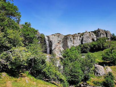
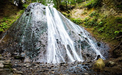
Cascade du Rossignolet
53.6 km
Discover the serene beauty of Cascade du Rossignolet near Mont-Dore, a picturesque waterfall surrounded by lush forests and volcanic landscapes, perfect for a peaceful family hike.
Grottes du Cornadore
53.9 km
Explore ancient Roman baths in the heart of France: Discover the Grottes du Cornadore in Saint-Nectaire, a unique blend of history, geology, and thermal springs.
GR 30 Tour des Volcans et Lacs d'Auvergne
53.9 km
Hike through France's volcanic heartland on the GR 30, a stunning trail encircling Auvergne's lakes and peaks, offering breathtaking views and cultural immersion.
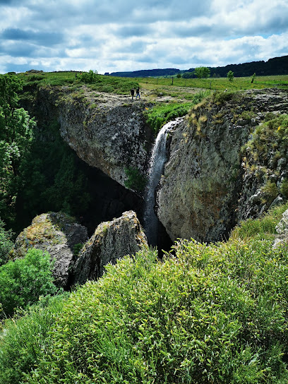
Cascade du Déroc
54.0 km
Discover the breathtaking beauty of Cascade du Déroc, a stunning waterfall near Nasbinals, perfect for nature lovers and adventure seekers.
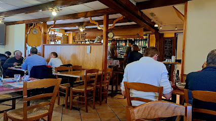
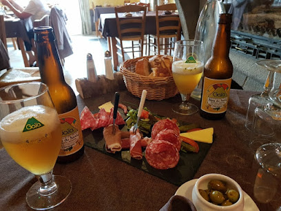
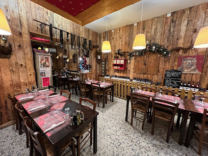
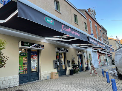
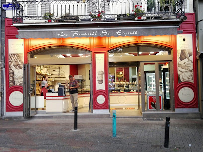
Essential places to dine
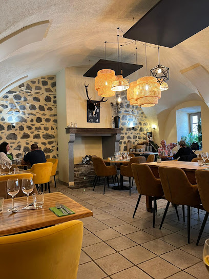
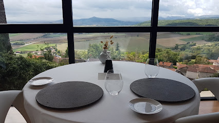
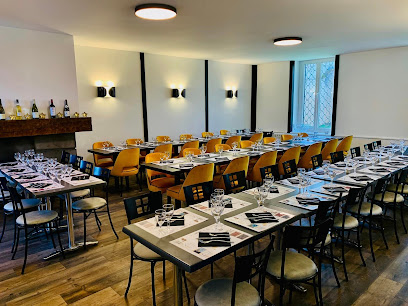
La Table des Volcans
0.2 km
Experience authentic French cuisine at La Table des Volcans in Murat - where every dish tells a story.
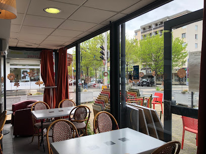
Paris Auvergne
24.3 km
Experience the essence of French cuisine at Paris Auvergne in Vic-sur-Cère—where tradition meets flavor in every dish.
Lac Des Graves
26.4 km
Experience nature's tranquility at Lac Des Graves—perfect for fishing, hiking, and enjoying local cuisine amidst stunning landscapes.
Auberge de La Cabane
36.1 km
Experience authentic French cuisine at Auberge de La Cabane in Saint-Alyre-ès-Montagne - where tradition meets taste.
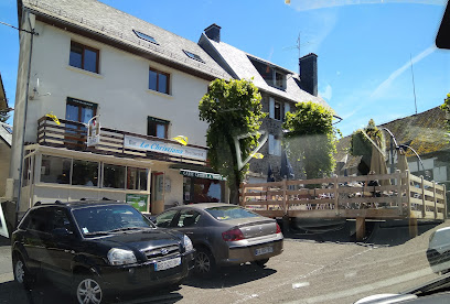
Le Christiana
48.9 km
Experience authentic French cuisine at Le Christiana in La Tour-d'Auvergne—where tradition meets flavor in a cozy setting.
Auberge de Reine Margot
49.0 km
Discover the charm of Auberge de Reine Margot, where exquisite French cuisine meets warm hospitality in La Tour-d'Auvergne.
Auberge de la Loue
49.1 km
Discover the authentic taste of France at Auberge de la Loue in Vodable, where exquisite cuisine meets charming hospitality.
Auberge du Bougnat
49.2 km
Experience authentic French cuisine at Auberge du Bougnat in Saint-Victor-la-Rivière—where every meal is a celebration of local flavors.
La Vieille Etable
51.8 km
Experience the charm of traditional French cuisine at La Vieille Etable in Mont-Dore - a culinary delight surrounded by breathtaking scenery.
L'Arbalète
51.8 km
Discover authentic French flavors at L'Arbalète in Murol - where culinary artistry meets local charm.
Hôtel Restaurant Origines par Adrien Descouls
52.4 km
Discover exquisite Haute French cuisine at Hôtel Restaurant Origines in Le Broc – where culinary artistry meets exceptional hospitality.
Buron du Col de la Croix Morand
54.1 km
Discover authentic French flavors at Buron du Col de la Croix Morand, where culinary excellence meets breathtaking mountain scenery.
Les Fées Mères restaurant Gastronomique
54.7 km
Experience exquisite Haute French cuisine at Les Fées Mères in La Bourboule – a culinary delight for every discerning palate.
Le Puy D'alou
55.8 km
Discover authentic French cuisine at Le Puy D'alou in picturesque Le Vernet-Sainte-Marguerite - A true culinary delight!
Auberge de Margot
59.1 km
Discover serene stays and delightful dining at Auberge de Margot in Usson - your perfect retreat into nature's embrace.
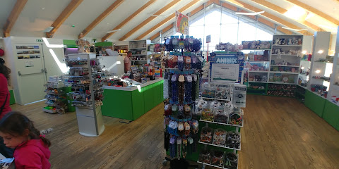
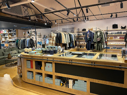
Markets, malls and hidden boutiques
Lac Et Volcan (Sarl)
51.6 km
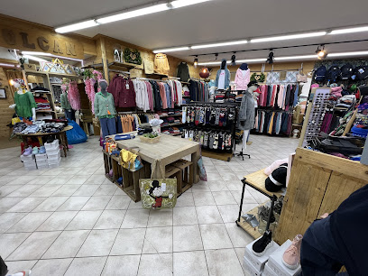
Explore Mont-Dore's chic clothing haven at Lac Et Volcan, where style meets comfort in the heart of the French Alps.
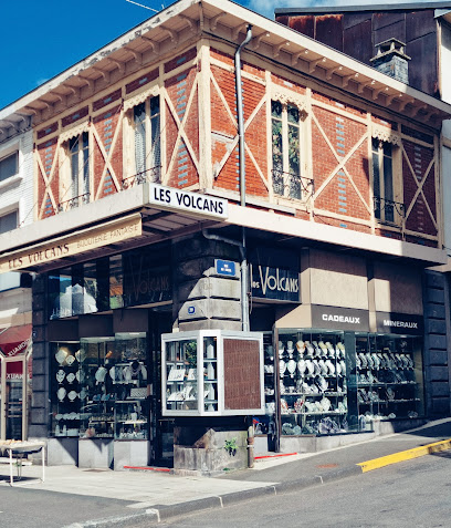
Les Volcans
54.1 km
Explore Les Volcans in La Bourboule for unique local gifts that capture the essence of the Auvergne region's culture and craftsmanship.
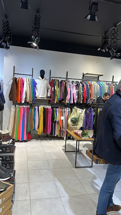
lac et volcan concept store
54.1 km
Explore the Lac et Volcan Concept Store in La Bourboule for unique, handcrafted treasures that embody the spirit of the Auvergne region.
Le Store Auvergnat
65.9 km
Elevate your living spaces with exquisite window treatments at Le Store Auvergnat in Tallende, France.
Stores de France
73.6 km
Explore the exquisite window treatments at Stores de France, Cournon-d'Auvergne, where elegance meets functionality.
Boutiques du puy de Dôme
74.2 km
Explore Boutiques du Puy de Dôme for exquisite gift baskets filled with local delicacies, perfect for souvenirs or a personal treat.
Centre Jaude
75.7 km
Experience shopping, dining, and entertainment at Centre Jaude, the vibrant heart of Clermont-Ferrand's retail scene.
L'Adresse Boutique
75.7 km
Explore L'Adresse Boutique in Clermont-Ferrand for unique women's fashion that blends elegance and contemporary style, perfect for any occasion.
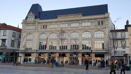
Galeries Lafayette Clermont
75.8 km
Discover the charm of Galeries Lafayette Clermont, a shopping paradise offering fashion, beauty, and unique finds in the heart of Clermont-Ferrand.
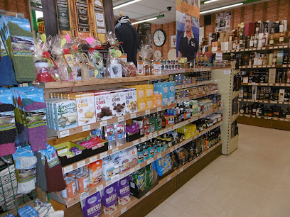
Le Comptoir Irlandais Clermont-Ferrand
75.9 km
Discover the heart of Irish culture at Le Comptoir Irlandais in Clermont-Ferrand, a unique gift shop offering clothing, gourmet foods, and more.
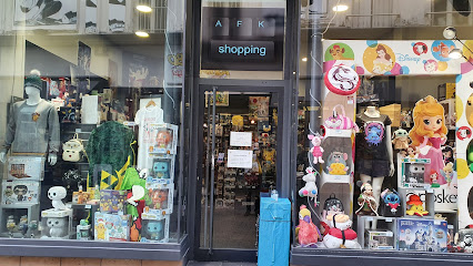
AFK Shopping
75.9 km
Discover unique gifts and local treasures at AFK Shopping in Clermont-Ferrand, a delightful gift shop filled with charm and creativity.
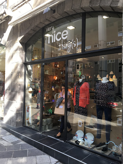
Very Nice Things
75.9 km
Discover the perfect blend of fashion and interior design at Very Nice Things, a stylish women's clothing store in Clermont-Ferrand.
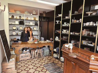
Nos belles choses
76.1 km
Discover the charm of vintage elegance at Nos Belles Choses, Clermont-Ferrand's premier antique furniture store, where each piece tells a story.
Clermont Auvergne Volcanoes Office De Clermont-Ferrand
76.1 km
Discover the Clermont Auvergne Volcanoes Office, your gateway to exploring breathtaking volcanic landscapes and rich cultural heritage in the heart of Auvergne.
La Galerie Nacarat
77.4 km
Explore La Galerie Nacarat in Clermont-Ferrand, a shopping mall featuring diverse boutiques, dining options, and entertainment for an unforgettable experience.
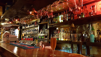
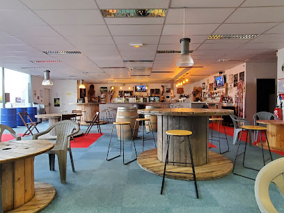
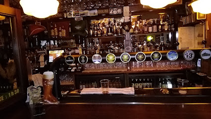
Essential bars & hidden hideouts
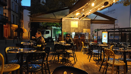
La Taverne
51.6 km
Experience the warmth and charm of La Taverne in Mont-Dore, where local flavors and a cozy atmosphere await your visit.
Les Lokaux, bar restaurant
68.9 km
Experience the vibrant atmosphere and exquisite cuisine at Les Lokaux, a premier bar and restaurant in Les Martres-de-Veyre, perfect for all occasions.
Chez Mathilde
73.6 km
Experience the delightful charm of Chez Mathilde, a cozy bar in Cournon-d'Auvergne, serving exquisite drinks and local flavors.
LE 58B SOIRÉES À AUBIÈRE
74.5 km
Discover the lively charm of LE 58B SOIRÉES À AUBIÈRE, a premier beer hall and live music venue for an unforgettable night out.
The Still Irish Bar
75.6 km
Discover the heart of Irish culture at The Still Irish Bar in Clermont-Ferrand, offering cozy ambiance, hearty meals, and an extensive drink selection.
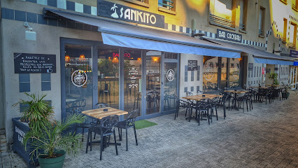
Le Sankito
75.6 km
Experience the excitement of darts and vibrant nightlife at Le Sankito, the premier dart bar in Clermont-Ferrand.
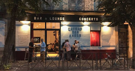
Le Caveau des Anges
75.8 km
Immerse yourself in the vibrant jazz scene at Le Caveau des Anges, a cozy club in Clermont-Ferrand offering soulful live music and an unforgettable atmosphere.
3 Monkeys Pub
75.8 km
Discover the vibrant nightlife and local flavors at 3 Monkeys Pub, a must-visit bar and restaurant in the heart of Clermont-Ferrand.
Delirium Café
75.9 km
Discover Delirium Café in Clermont-Ferrand, a vibrant beer hall offering an extensive selection of brews in a lively and welcoming atmosphere.
Bar Des Beaux Arts
75.9 km
Discover the vibrant ambiance of Bar Des Beaux Arts in Clermont-Ferrand, where art, coffee, and cocktails blend seamlessly.
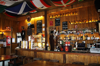
The Viking Pub Counter
75.9 km
Experience the vibrant ambiance of The Viking Pub Counter, Clermont-Ferrand's charming destination for local brews and hearty meals.
Arsène
76.0 km
Discover the innovative cocktail scene at Arsène in Clermont-Ferrand, where expert mixologists create unforgettable drinks in a stylish setting.
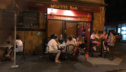
Mojitos bar
76.0 km
Experience the vibrant nightlife at Mojitos Bar in Clermont-Ferrand, where fresh mojitos and lively atmosphere await you.
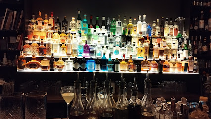
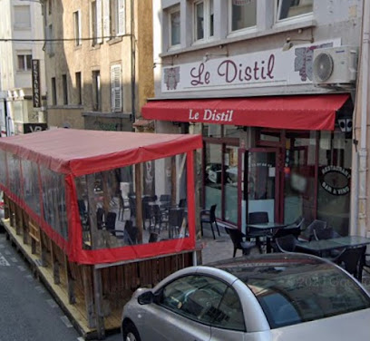
Le Distil
76.0 km
Discover Le Distil, Clermont-Ferrand's charming wine bar, where exquisite local and international wines await in a cozy, inviting atmosphere.
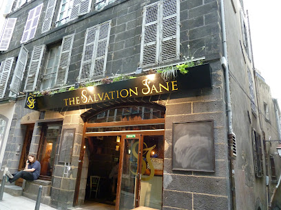
The Salvation Jane Pub
76.0 km
Discover the lively ambiance and unique craft beers at The Salvation Jane Pub in Clermont-Ferrand, a perfect spot for tourists seeking local culture.