From Eve
Know before you go
Hi, I'm Eve. Here are a few practical things to know before exploring Geodätischer Referenzpunkt.
Local know-how to help you travel smarter and make the most of every moment.
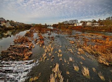
Explore the Geodätischer Referenzpunkt in Mülheim an der Ruhr, a unique scientific landmark that combines nature with the fascinating world of geodesy.
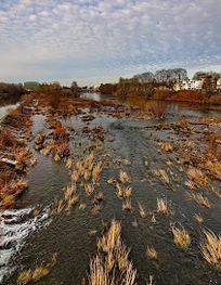
The Geodätischer Referenzpunkt in Mülheim an der Ruhr is an intriguing tourist attraction that offers visitors a glimpse into the world of geodesy and the science of measuring our planet. Nestled in a serene area, this landmark is perfect for curious travelers seeking both education and exploration.
Opening times, essentials, and a few local tips gathered into one calmer, easier-to-scan planning section.
Hi, I'm Eve. Here are a few practical things to know before exploring Geodätischer Referenzpunkt.
Local know-how to help you travel smarter and make the most of every moment.
Car
If you're traveling by car, head towards Mülheim an der Ruhr. From the A40 motorway, take the exit toward Mülheim-Stadtmitte. Follow signs for Mülheim, and then use local streets to navigate to Auf dem Dudel. You can use GPS coordinates: 51.4235073, 6.8761449 to reach the Geodätischer Referenzpunkt directly. Parking may be available nearby, but check local signs for regulations.
Public Transportation
If you prefer public transportation, start by taking the U-Bahn (subway) to Mülheim Hauptbahnhof. From there, transfer to tram line 102 towards Mülheim-Dümpten. Get off at the stop 'Auf dem Dudel', which is a short walk from the Geodätischer Referenzpunkt. Make sure to check the local transit schedules for the latest information. A single ticket typically costs around €2.80.
Use Geodätischer Referenzpunkt as your starting point for nearby food, family ideas, nightlife, and more local discoveries.

Explore expert travel guides, compare and book tours, experiences, hotels, and more—all from the palm of your hand. Download now for seamless trip planning wherever your wanderlust takes you.
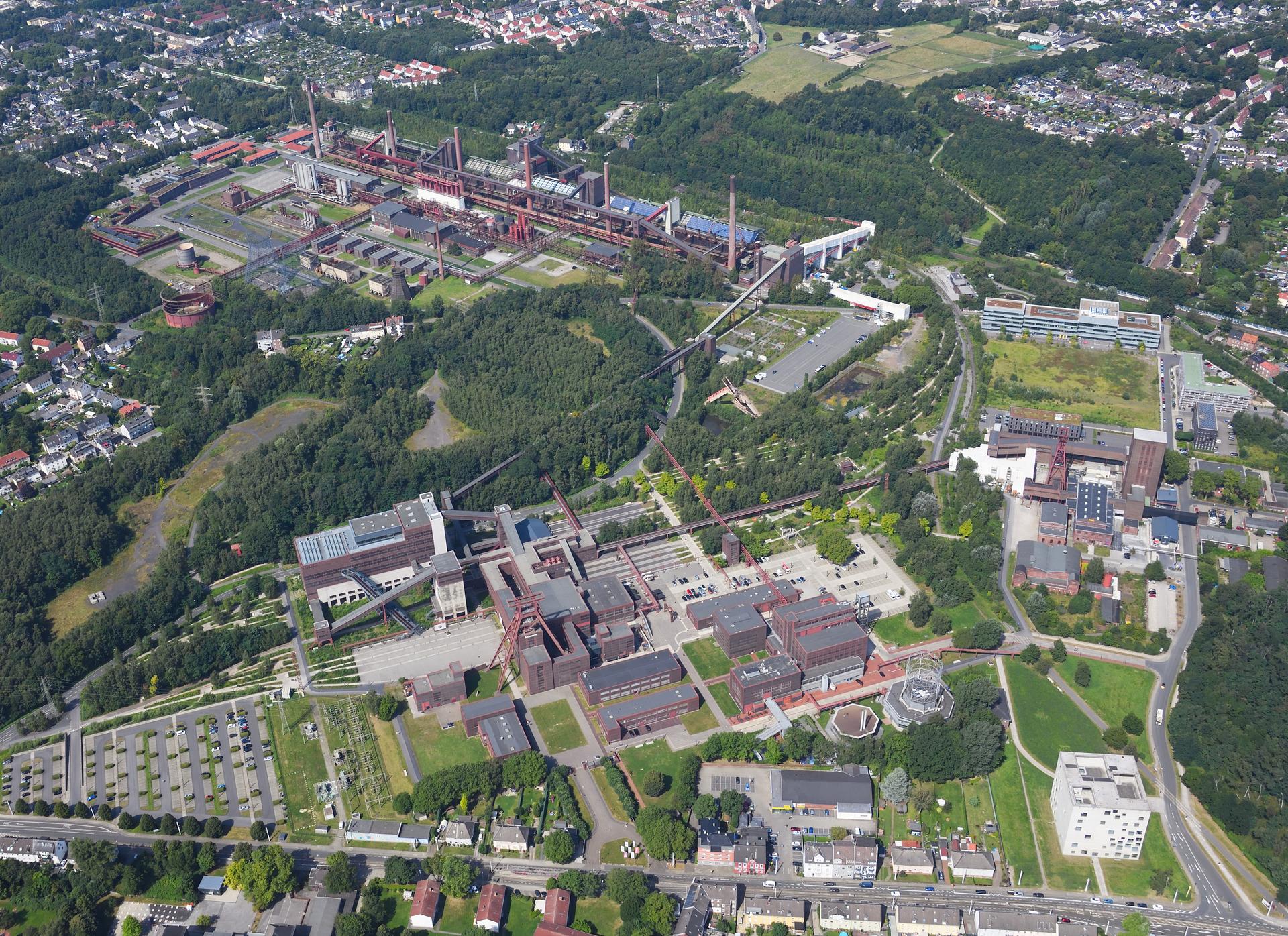
Discover the Ruhr, Germany: A mesmerizing blend of industrial heritage, cultural richness, and natural beauty, perfect for history buffs, art lovers, and outdoor enthusiasts.
Tell me more about Ruhr