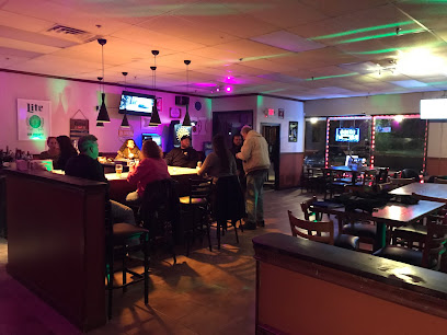
Discover the Heart of Rockford: The Rockford Map
Explore Rockford, Illinois, with the comprehensive mapping services of the Rockford Map, your guide to the city's rich culture and attractions.
The Rockford Map serves as an essential resource for tourists exploring the rich history and vibrant culture of Rockford, Illinois. With its comprehensive mapping services, visitors can easily navigate the city's attractions, parks, and hidden gems, ensuring a memorable trip. This mapping service not only provides detailed maps but also offers insights into local events and activities, making it a must-visit stop for anyone looking to fully experience Rockford.
A brief summary to Rockford Map
- 124 N Water St #10, Rockford, Illinois, 61107, US
- +1800-321-1627
- Visit website
Local tips
- Visit during weekday mornings for a quieter experience and personalized assistance.
- Ask about local events happening during your visit for a chance to experience Rockford's culture.
- Bring a notepad to jot down recommendations from the staff about must-see spots.
- Consider downloading a digital map for ease of access while exploring the city.
Getting There
-
Public Transportation
If you are starting from downtown Rockford, walk to the nearest bus stop. The Rockford Mass Transit District (RMTD) operates several bus routes throughout the city. Take Bus Route 11, which travels along N Main St. You will want to ride the bus for about 15 minutes, and then get off at the stop near the intersection of N Water St and E State St. From there, walk south on N Water St for about 5 minutes until you reach 124 N Water St #10, where Rockford Map is located.
-
Bicycle
If you prefer to ride a bike, you can rent one from a local bike share program or use your own. From downtown Rockford, head north on N Main St, then turn left onto E State St. Follow E State St for about 1 mile until you reach N Water St. Turn right onto N Water St and continue south for about half a mile. Rockford Map will be on your right at 124 N Water St #10.
-
Walking
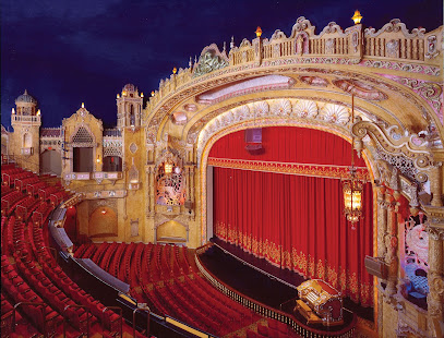
If you are walking from the downtown area, start at the Coronado Theatre. Head east on E State St for about 0.5 miles. Then, turn left onto N Water St. Continue walking south for about 0.3 miles until you reach 124 N Water St #10, where Rockford Map is located. This is a pleasant walk that will take approximately 15-20 minutes.
Discover more about Rockford Map
Iconic landmarks you can’t miss
Rockford Map
0.0 km
Explore Rockford, Illinois, with the comprehensive mapping services of the Rockford Map, your guide to the city's rich culture and attractions.
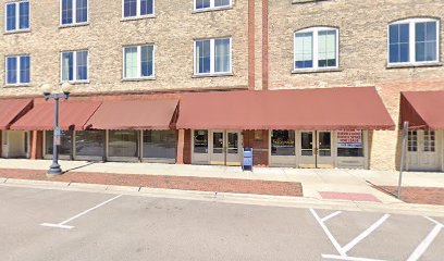
The Standard
0.1 km
Rockford's premier rooftop venue: historic charm, modern elegance, and unforgettable views for weddings, events, and celebrations.
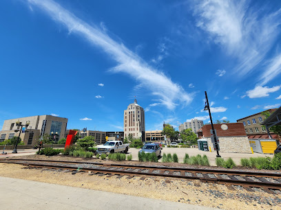
Rockford City Market
0.1 km
Experience local flavors and community spirit at Rockford City Market, downtown Rockford's vibrant hub for food, crafts, and events.
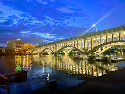
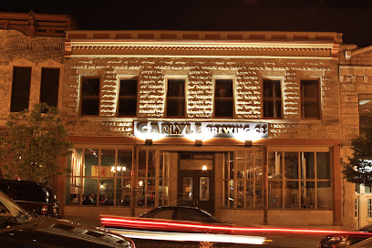
Carlyle Brewing Co.
0.1 km
Experience Rockford's original craft brewery: handcrafted beers, pub fare, and a cozy European-style atmosphere in the heart of downtown.
317 Art Collaborative
0.2 km
Experience Rockford's vibrant art scene at 317 Art Collaborative, a hub for local artists, exhibitions, classes, and community events.
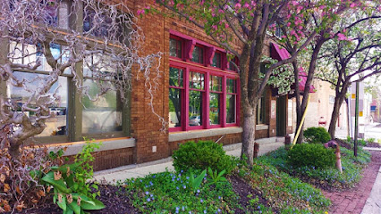
Spafford Square
0.2 km
Explore Spafford Square in Rockford, IL, a historical landmark offering a serene escape into the city's rich heritage and architecture.
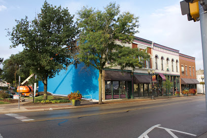
Rockford Morning Star Building
0.2 km
Explore the Rockford Morning Star Building, a historic landmark that embodies the rich journalistic heritage and architectural beauty of downtown Rockford, Illinois.
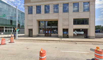
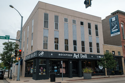
Rockford Art Deli
0.3 km
Rockford Art Deli: Where community, creativity, and sustainability come together in the heart of Rockford. Shop local, support art, and wear your pride.
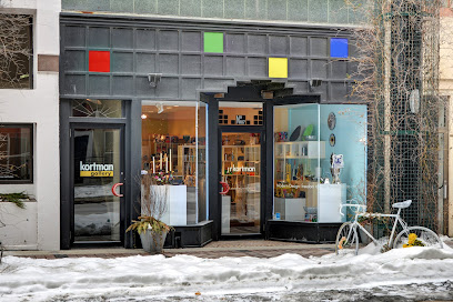
J. R. Kortman Center for Design
0.3 km
Discover unique gifts and art at J. R. Kortman Center for Design in downtown Rockford, a cultural gem since 1986. Rotating exhibitions and curated collections.
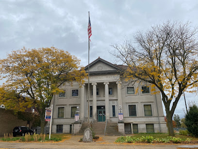
Veterans Memorial Hall
0.3 km
Honoring Winnebago County's veterans since 1903 with exhibits spanning from the Civil War to today. A living tribute to service and sacrifice.
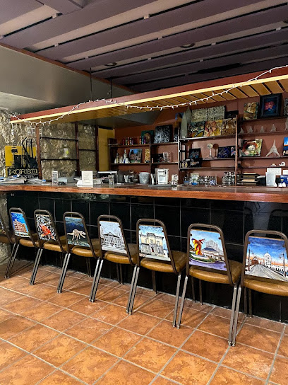
The Underground Art Gallery
0.3 km
Discover contemporary art in a unique subterranean setting. The Underground Art Gallery: Rockford's hidden gem for art and events.
Rockford Area Convention & Visitors Bureau
0.3 km
Your gateway to exploring Rockford, IL: attractions, events, accommodations, and visitor information for an unforgettable experience in the Forest City.
Riverview Ice House
0.3 km
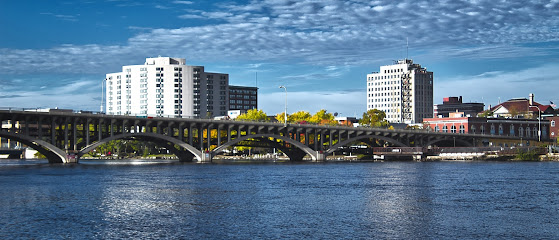
Skate into fun at Riverview Ice House! Downtown Rockford's premier ice skating destination for all ages and skill levels.
Chick House
0.4 km
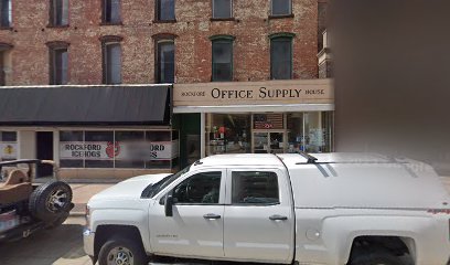
Explore the historic Chick House in Rockford, IL: a landmark blending Greek Revival & Italianate architecture, dating back to 1857.
Prairie Street Brewing Co.
0.4 km
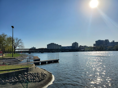
Experience craft beer and riverside dining in a historic Rockford brewery, complete with live music and stunning views.
Unmissable attractions to see
Erlander Home Museum
0.7 km
Explore the Erlander Home Museum and uncover the rich Swedish heritage of Rockford, Illinois, through its authentic exhibits and immersive history.
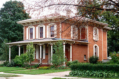
Riverfront Museum Park
0.8 km
Discover the artistic and cultural treasures at Riverfront Museum Park, a vibrant destination for families and art lovers in Rockford, Illinois.
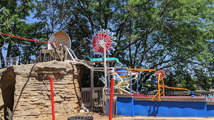
Rockford Art Museum
0.8 km
Explore diverse exhibitions at the Rockford Art Museum, a cultural gem in Illinois showcasing American art from the 20th and 21st centuries.
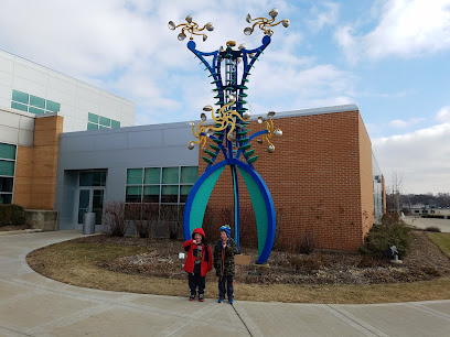
Discovery Center Museum
0.8 km
Discover a world of fun and learning at the Discovery Center Museum in Rockford, IL, where creativity meets curiosity for all ages.
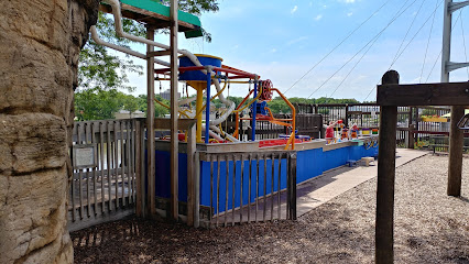
Burpee Museum of Natural History
0.8 km
Explore the fascinating world of natural history at the Burpee Museum, where dinosaurs and ancient artifacts come to life in Rockford, Illinois.
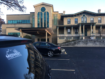
Tinker Swiss Cottage Museum and Gardens
1.2 km
Explore Tinker Swiss Cottage Museum and Gardens, a historical gem in Rockford, Illinois, where rich history meets beautiful gardens.
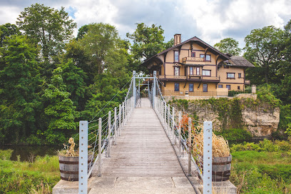
Ethnic Heritage Museum
1.3 km
Explore the Ethnic Heritage Museum in Rockford, IL, where diverse cultures and histories come to life through engaging exhibits and community stories.
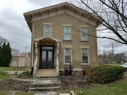
Nicholas Conservatory & Gardens
2.1 km
Discover the lush beauty of Nicholas Conservatory & Gardens in Rockford, your serene escape into nature with stunning plant displays and tranquil gardens.

Sinnissippi Gardens
2.4 km
Experience the breathtaking beauty of Sinnissippi Gardens, a serene park in Rockford, Illinois, perfect for relaxation, picnics, and scenic views of nature.
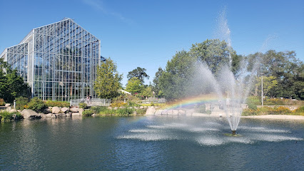
Sinnissippi Park
2.6 km
Discover the serene beauty of Sinnissippi Park, Rockford's urban oasis, featuring lush landscapes, vibrant gardens, and recreational activities for everyone.
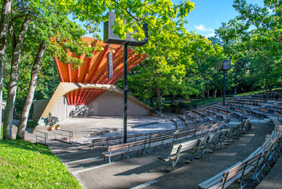
Klehm Arboretum & Botanic Garden
3.4 km
Explore the stunning landscapes and diverse plant collections at Klehm Arboretum & Botanic Garden in Rockford, Illinois, a perfect retreat for nature lovers.
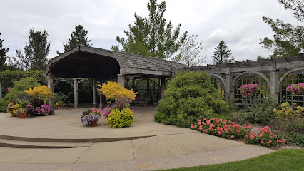
Anderson Japanese Gardens
3.5 km
Experience the serene beauty of Anderson Japanese Gardens, a tranquil oasis in Rockford, Illinois, featuring stunning landscapes and traditional Japanese architecture.
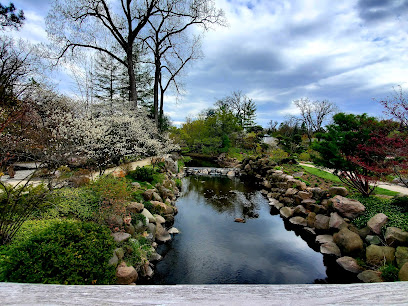
Alpine Hills Adventure Park
5.0 km
Experience the thrill of outdoor adventure at Alpine Hills Adventure Park in Rockford, Illinois, where excitement and nature come together for an unforgettable day.
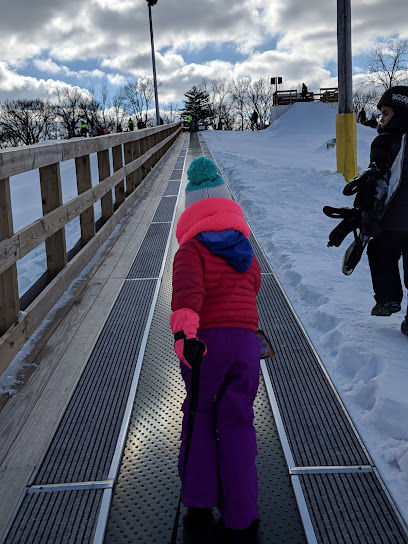
La Paloma Gardens
5.3 km
Explore La Paloma Gardens, a tranquil oasis in Rockford, Illinois, where vibrant flora and serene landscapes create the perfect getaway for nature enthusiasts.
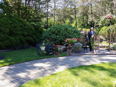
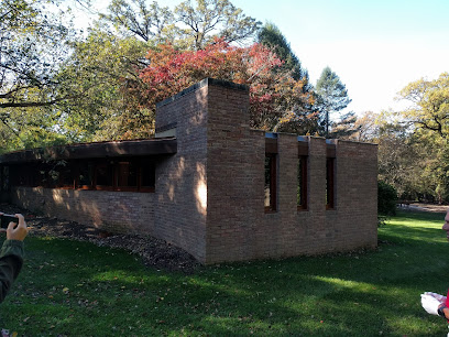
Frank Lloyd Wright's Laurent House
6.4 km
Explore Frank Lloyd Wright's Laurent House, a stunning architectural gem showcasing organic design in Rockford, Illinois, perfect for architecture enthusiasts.
Essential places to dine
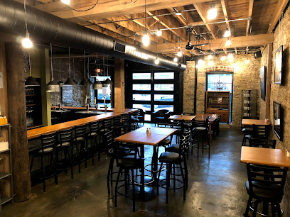
Magpie
0.1 km
Experience delightful American cuisine at Magpie in Rockford - your go-to brunch spot for fresh flavors and cozy ambiance.
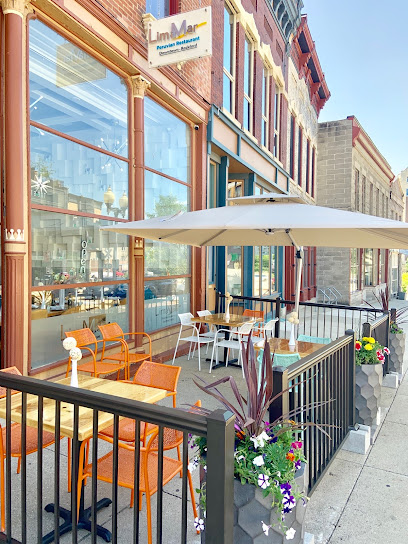
LimaMar Restaurant & Cocktail Bar
0.1 km
Experience authentic Peruvian flavors at LimaMar Restaurant & Cocktail Bar in Rockford—where culinary tradition meets modern flair.
Omakase
0.2 km
Discover Rockford's finest sushi experience at Omakase - where culinary artistry meets exceptional flavors.

District Bar and Grill
0.3 km
Discover Rockford's vibrant nightlife at District Bar and Grill – where delicious food meets live music in an inviting atmosphere.

Woodfire Rockford
0.3 km
Experience the taste of Italy at Woodfire Rockford - renowned for its authentic wood-fired pizzas and inviting atmosphere.
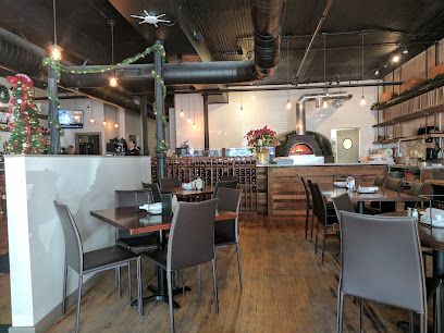
27 ALUNA
0.3 km
Discover exquisite dining at 27 ALUNA in downtown Rockford - where innovative cuisine meets vibrant cocktails.
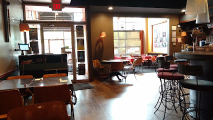
Social Urban Bar & Restaurant
0.4 km
Discover fine dining at Social Urban Bar & Restaurant in Rockford - where exquisite American cuisine meets vibrant urban ambiance.
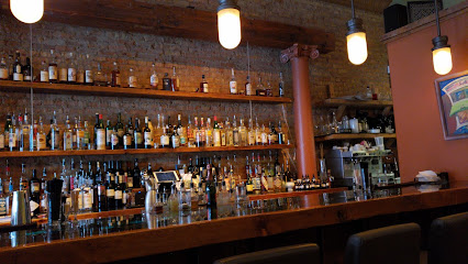
Sisters Thai Cafe
0.4 km
Experience the best of authentic Thai cuisine at Sisters Thai Cafe in Rockford - where every dish tells a story of flavor.
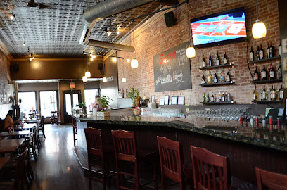
The Top Rooftop Bar & Lounge
0.6 km
Discover unforgettable rooftop views and exquisite dining at The Top Rooftop Bar & Lounge in Rockford, Illinois.
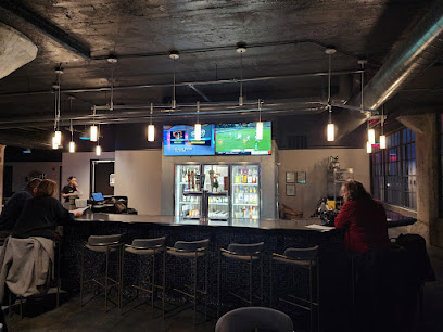
Tower Kitchen & Bar
0.6 km
Discover the vibrant flavors of Rockford at Tower Kitchen & Bar - where American cuisine meets a lively bar atmosphere.

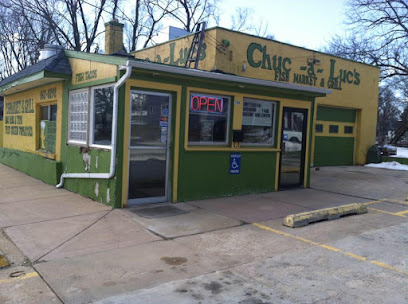
Chuc-a-Luc's Fish Market Grill & Soul Food
1.4 km
Discover the vibrant flavors of soul food and fresh seafood at Chuc-a-Luc's Fish Market Grill & Soul Food in Rockford.
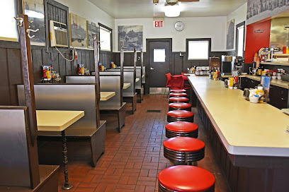
Behr Den Restaurant
1.6 km
Discover delicious local flavors at Behr Den Restaurant in Rockford – where cozy meets affordable dining!
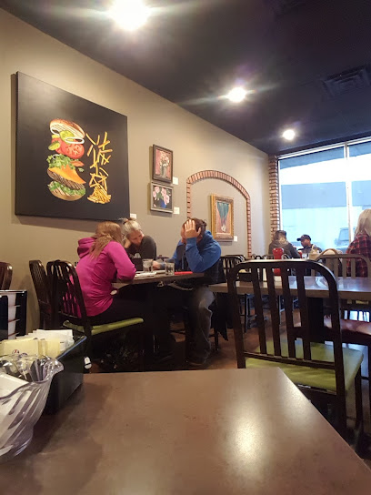
Lydia's Cafe
2.0 km
Discover Lydia's Cafe in Rockford: A delightful fusion of American and Mexican cuisine awaits you at this charming eatery.
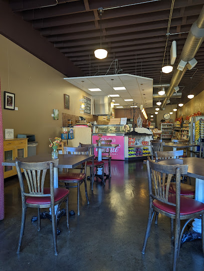
DiTullio's Italian Market & Cafe
2.6 km
Discover the taste of Italy at DiTullio's Italian Market & Cafe in Rockford – where authentic cuisine meets vibrant market charm.
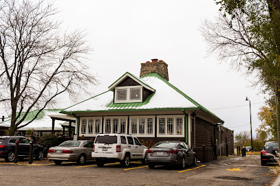
The Olympic Tavern
3.3 km
Experience the vibrant flavors of American cuisine at The Olympic Tavern in Rockford - where great food meets great company.
Markets, malls and hidden boutiques
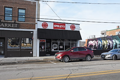
Smiley's Vintage
0.1 km
Explore the charm of vintage fashion at Smiley's Vintage in Rockford, Illinois - a unique destination for eclectic finds and timeless treasures.
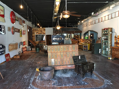
Smith & Sons
0.2 km
Explore a captivating array of vintage treasures at Smith & Sons Antique Store in Rockford, Illinois, where history meets charm and nostalgia.
Weirdo Art Collectibles
0.2 km
Explore Weirdo Art Collectibles, a unique gift shop in Rockford, IL, brimming with quirky art and one-of-a-kind treasures to enhance your travel experience.

S'mores Collectibles and Vintage
0.2 km
Explore S'mores Collectibles and Vintage in Rockford, IL for a unique shopping experience filled with rare finds and nostalgic treasures.
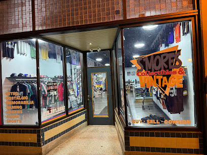
Downtown Shoes & Boutique
0.4 km
Discover unique footwear and chic clothing at Downtown Shoes & Boutique in Rockford, Illinois - your trendy shopping destination awaits!
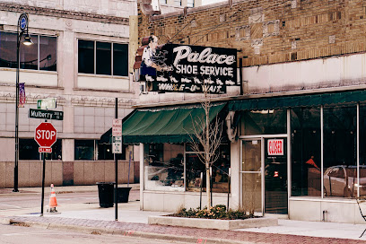
Remade
0.7 km
Explore Remade in Rockford, a unique home goods store offering eclectic decor and artisanal treasures that capture the spirit of local craftsmanship.
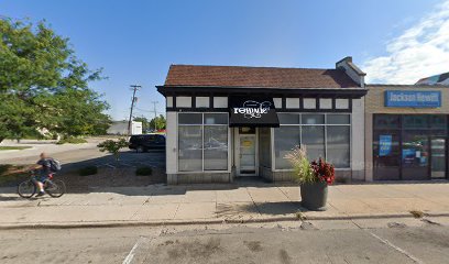
Inscape Collective
0.9 km
Explore Inscape Collective in Rockford, IL for unique gifts and handcrafted items that embody local artistry and creativity.
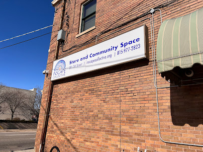
29 Palms-The Collector's Oasis LLC
1.2 km
Explore 29 Palms - The Collector's Oasis LLC in Rockford, Illinois, for an exciting selection of unique collectibles and vintage treasures.
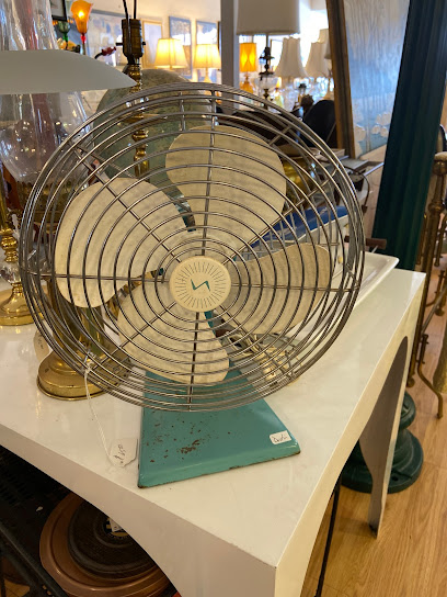
Resale
1.2 km
Uncover unique antique furniture pieces and vintage treasures in Rockford, Illinois, perfect for enhancing your home and creating lasting memories.
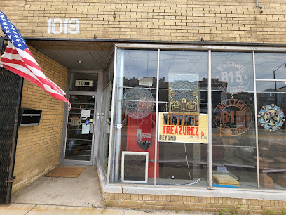
Cleo's Aroma Pothecary
1.3 km
Explore Cleo's Aroma Pothecary in Rockford, IL for unique metaphysical supplies, gifts, and a serene shopping experience.
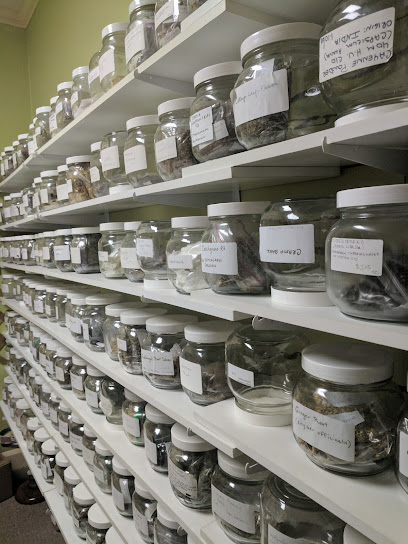
Tiffany's Luscious Boutique
1.3 km
Explore unique women's fashion at Tiffany's Luscious Boutique in Rockford, where style meets personalized service for an unforgettable shopping experience.
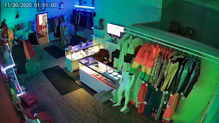
Rooted
2.1 km
Explore Rooted, Rockford's charming gift shop featuring local art, unique home goods, and thoughtful gifts that celebrate community creativity.

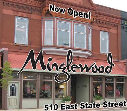
Minglewood
2.3 km
Explore Minglewood, Rockford's charming boutique offering unique fashion finds and personalized shopping experiences for every style.
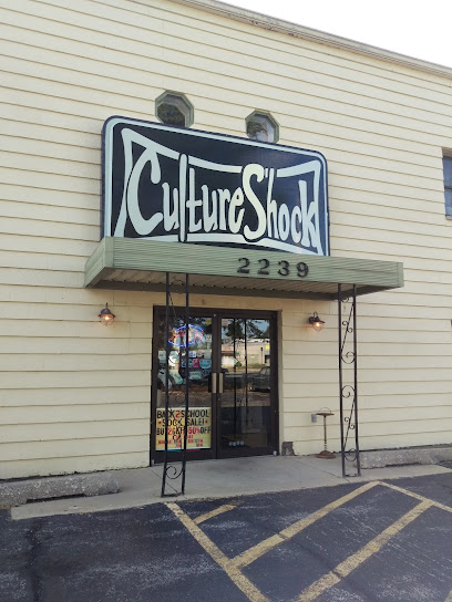
Culture Shock Records - Gifts - Clothing
2.7 km
Explore Culture Shock Records in Rockford, IL – a vibrant gift shop and boutique featuring unique gifts, trendy clothing, and a wide selection of vinyl records.
Great Hang-Ups
2.9 km
Explore Great Hang-Ups in Rockford, IL for a unique mix of women's fashion, bridal wear, and accessories in a charming boutique atmosphere.

Essential bars & hidden hideouts
CJs Public House
0.2 km
Discover the lively atmosphere and diverse drink selection at CJs Public House, Rockford's premier lounge and cocktail bar.
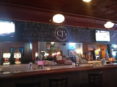
Minnihan's
0.4 km
Discover the vibrant nightlife at Minnihan's, a lively bar in Downtown Rockford offering a diverse drink menu and a welcoming atmosphere.
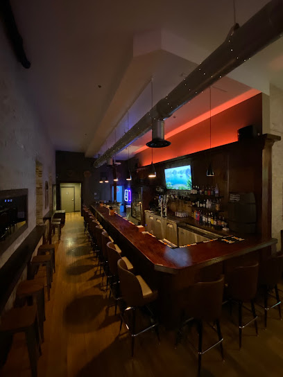
Wood & Brick Tavern
0.5 km
Experience the rustic charm and vibrant atmosphere at Wood & Brick Tavern in Rockford, Illinois, the perfect spot for drinks and local flavor.
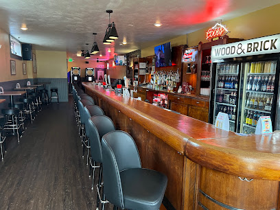
Mary's Place
0.5 km
Discover the charm of Rockford at Mary's Place, a cozy bar offering craft drinks and a welcoming atmosphere for tourists and locals alike.
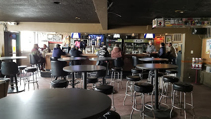
The Oasis Micro-Pub
0.7 km
Experience the essence of Rockford nightlife at The Oasis Micro-Pub, where craft beers and community vibes come together.
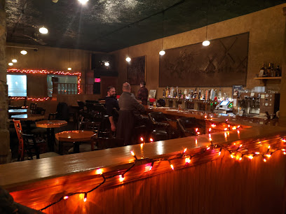
Railroad Tap
1.8 km
Explore the vibrant atmosphere of Railroad Tap, Rockford's beloved bar offering local brews, live music, and a warm community vibe.
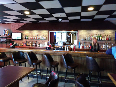
Rural on Tap
2.0 km
Discover the charm of Rural on Tap in Rockford, Illinois—your destination for great drinks and warm hospitality in a lively bar atmosphere.
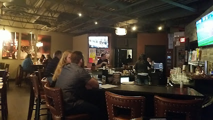
2 Wheel Inn
3.7 km
Discover the lively ambiance and affordable drinks at 2 Wheel Inn, a must-visit bar in Rockford, Illinois, perfect for relaxation and socializing.
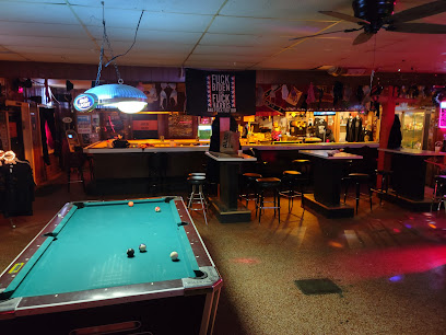
The Victory Tap
4.4 km
Experience Rockford's local culture at The Victory Tap, where friendly faces and affordable drinks create the perfect atmosphere for relaxation and fun.
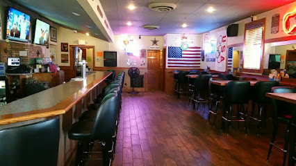
On State Bar & Restaurant
4.5 km
Experience the vibrant atmosphere and delicious comfort food at On State Bar & Restaurant, a must-visit for tourists in Rockford, Illinois.
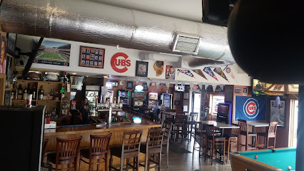
8th Ward Pub
5.2 km
Discover the 8th Ward Pub in Rockford, Illinois, where vibrant cocktails and delicious tapas create the perfect setting for unforgettable gatherings.
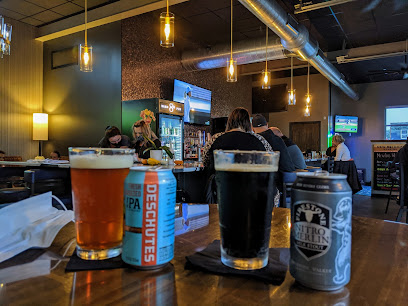
Stumpy's Pub
8.0 km
Experience the vibrant atmosphere and delicious flavors at Stumpy's Pub, the go-to spot for craft beer and casual dining in Rockford, Illinois.
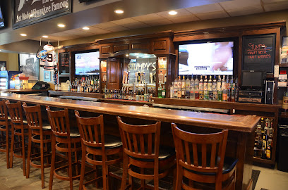
Applebee's Grill + Bar
8.9 km
Experience the heart of American cuisine at Applebee's Grill + Bar in Rockford, where delicious meals and a family-friendly atmosphere await.
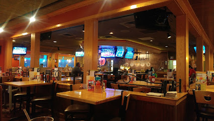
The Filling Station
9.0 km
Experience the perfect blend of sports and karaoke at The Filling Station, Rockford's lively destination for food, drinks, and entertainment.
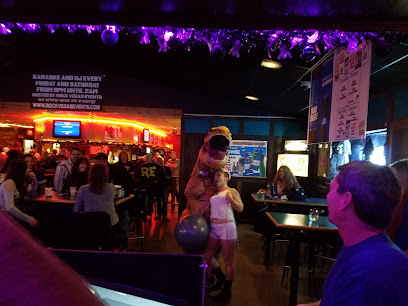
nmt Drink
9.5 km
Experience the vibrant atmosphere of NMT Drink, a local bar in Rockford, IL, perfect for unwinding with great drinks and friendly vibes.
Nightclubs & after hour spots
The Office Niteclub
0.4 km
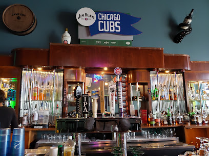
Experience the vibrant nightlife at The Office Niteclub, Rockford's premier gay nightclub, offering dance, drinks, and a welcoming atmosphere for all.
Aragona Club
1.2 km
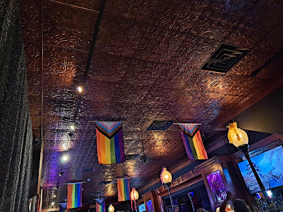
Discover the heart of Rockford's nightlife at Aragona Club, where music, dancing, and excitement await every night.
Lyran Society
1.2 km
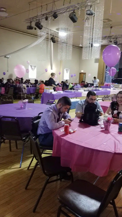
Discover Rockford's hidden nightlife gem at Lyran Society, where live music meets delicious food in an inviting atmosphere.
Golden Bar
1.3 km
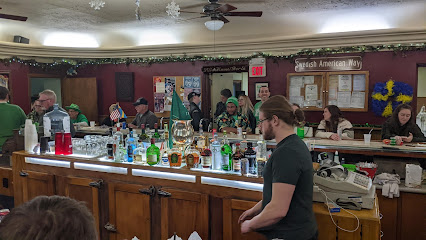
Discover the vibrant nightlife at Golden Bar in Rockford, Illinois, with its diverse drink menu and lively atmosphere for an unforgettable evening.
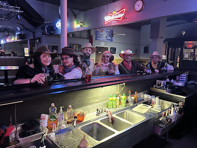
Broadway Lounge
2.1 km
Discover Rockford's nightlife at Broadway Lounge, where signature cocktails and live music create an unforgettable experience.
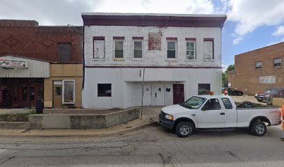
3LLL Club
2.3 km
Unleash your night at 3LLL Club in Rockford, IL – a vibrant bar experience perfect for socializing and enjoying nightlife.
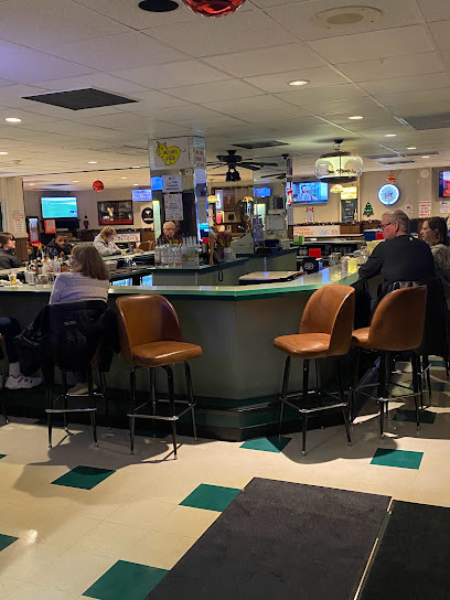
Bigfoot Gentlemen's Club
5.5 km
Experience the exhilarating nightlife at Bigfoot Gentlemen's Club in Rockford, where entertainment and a lively bar atmosphere come together for unforgettable evenings.
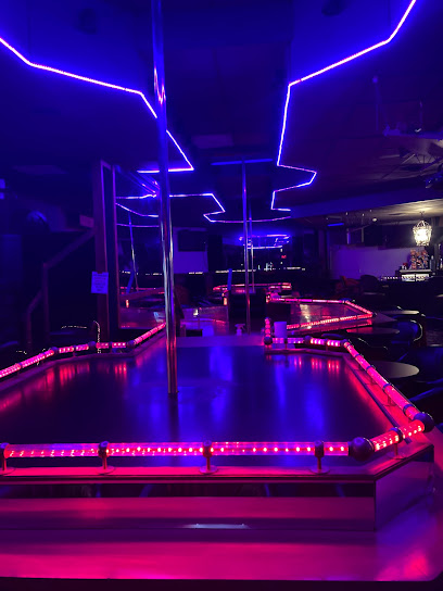
Tiger Tail Lounge, Your Adult Entertainment Super Night Club
10.1 km
Discover the vibrant nightlife of Rockford at Tiger Tail Lounge, your premier destination for adult entertainment and unforgettable experiences.

Sugar Shack
63.4 km
Discover the vibrant nightlife at Sugar Shack, Lake Geneva's premier night club, featuring exciting events, live music, and a lively bar scene.

Celebrate Swing - Lake Geneva Swing
64.7 km
Experience the vibrant energy of Celebrate Swing, Lake Geneva's premier dance club, where rhythm and community come alive in every step.

Evolve Nightclub
67.8 km
Experience the vibrant nightlife at Evolve Nightclub in Lake Geneva, where music, dancing, and excitement come alive!

Olive Black Lounge
68.4 km
Experience the vibrant atmosphere of Olive Black Lounge, where delicious cocktails meet live music for an unforgettable night in Richmond, IL.

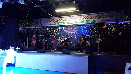
Estrellas Del Millenium
69.8 km
Estrellas Del Millenium: A vibrant night club and banquet hall in Elgin, Illinois, offering an energetic atmosphere and unforgettable nightlife experiences.
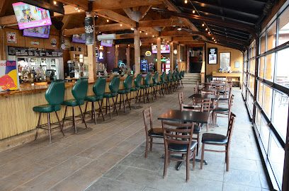
Bandito Barney's Beach Club
69.9 km
Discover Bandito Barney's Beach Club: A lively sports bar offering barbecue, drinks, and live music in a vibrant setting perfect for socializing.
Julie’s Neighborhood Lounge
71.9 km
Discover Julie's Neighborhood Lounge, a lively spot in South Elgin, perfect for drinks, live music, and a welcoming atmosphere.
