
Famine Pot: A Historical Landmark in Co. Donegal
Explore the poignant history of the Famine Pot, a significant landmark in Co. Donegal, where nature and remembrance intertwine beautifully.
Discover the poignant history of the Famine Pot, a historical landmark nestled in the stunning landscape of Co. Donegal. This site offers a deep connection to Ireland's past, particularly its struggles during the Great Famine, making it a must-visit for history enthusiasts and curious travelers alike.
A brief summary to Famine Pot
- Unnamed Road, Lougheask Demesne, Co. Donegal, IE
Local tips
- Visit during early morning or late afternoon for the best lighting for photography.
- Bring a picnic to enjoy in the peaceful surroundings.
- Wear comfortable shoes as the terrain can be uneven.
- Check local weather conditions before your visit to ensure a pleasant experience.
Getting There
-
Car
If you are traveling by car, start by navigating to Donegal Town. From Donegal Town, take the N15 road heading north. After approximately 12 kilometers, take the exit for the R232 towards Ballyshannon. Continue on the R232 for about 10 kilometers until you reach the village of Bundoran. From Bundoran, follow the signs for the R267, which will lead you through scenic coastal views. After about 4 kilometers on the R267, turn onto the Unnamed Road that leads directly to the Famine Pot. Be aware that the Famine Pot is located in a relatively remote area; parking may be limited, so be prepared to walk a short distance to the site.
-
Public Transportation
For those using public transportation, first take a bus from Donegal Town to Ballyshannon. Bus services such as Bus Éireann operate routes that connect these towns. Once in Ballyshannon, you may need to take a taxi to reach the Famine Pot, as public transport options are limited in that area. The taxi ride from Ballyshannon to the Famine Pot will take approximately 15 minutes and cost around €15-€20. Ensure that you confirm the fare with the driver before starting your journey.
-
Walking
If you are already in the nearby area, walking to the Famine Pot can be a great way to enjoy the natural surroundings. Follow local trails from Bundoran towards the Unnamed Road, which leads directly to the Famine Pot. This route may take approximately 1 hour depending on your starting point and walking speed. Ensure you have good walking shoes and be prepared for uneven terrain.
Discover more about Famine Pot
Iconic landmarks you can’t miss
Lough Eske
1.6 km
Discover the serene beauty of Lough Eske in County Donegal, where breathtaking landscapes meet rich history and outdoor adventure.
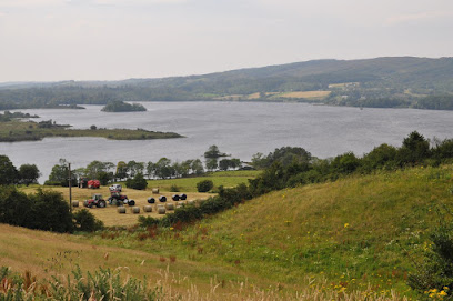
Donegal Town Centre
5.2 km
Experience the vibrant culture, rich history, and stunning landscapes in the heart of Donegal Town Centre, Ireland's hidden gem.
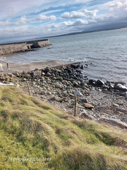
Donegal Town Walking Tours
5.2 km
Experience the charm of Donegal Town with engaging walking tours that uncover its rich history and vibrant culture, surrounded by breathtaking landscapes.
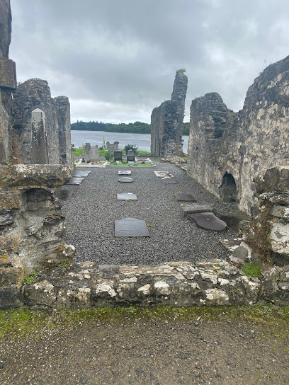
Donegal Town Tourist Information Centre
5.4 km
Explore County Donegal from the heart of Donegal Town with expert guidance at the Tourist Information Centre.
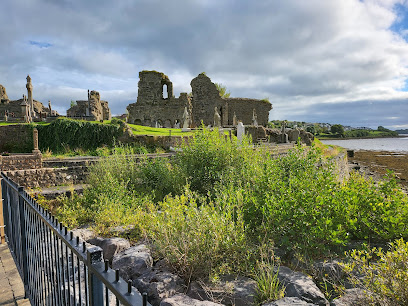
Donegal Bay Charters
5.6 km
Discover the breathtaking beauty of Donegal Bay with Donegal Bay Charters - an unforgettable adventure awaits in Ireland's stunning North Atlantic.
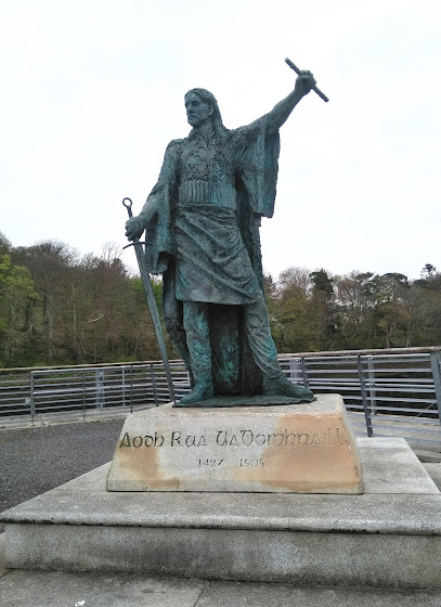
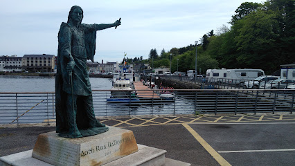
Roe Hugh O’Donnell Commemorative
5.6 km
Discover Donegal's rich heritage at the Roe Hugh O’Donnell Commemorative, a stunning sculpture by the harbor, steeped in history and culture.
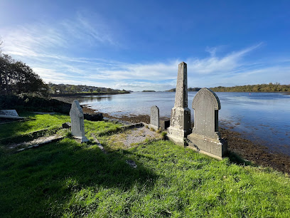
Abbey of Donegal
5.7 km
Discover the historic Abbey of Donegal, a serene landmark on the shores of Donegal Bay, offering a glimpse into Ireland's rich cultural heritage.
Donegal Harbour
10.1 km
Experience the breathtaking beauty and rich maritime heritage of Donegal Harbour, a serene retreat along Ireland's stunning coastline.
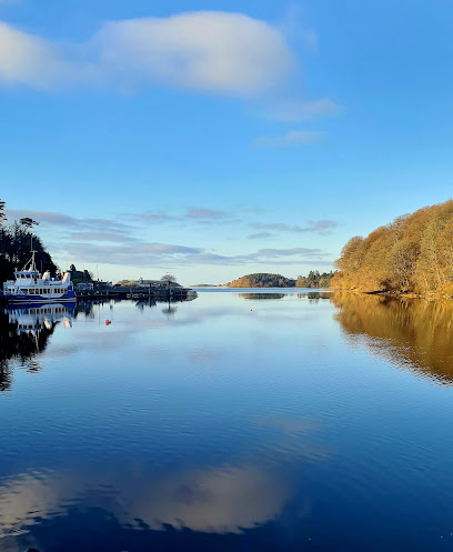
McSwyne's Castle
21.9 km
Experience the historic allure of McSwyne's Castle, a stunning 16th-century stronghold set against the magnificent landscapes of County Donegal.
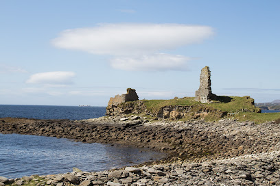
Donegal Corridor
22.8 km
Explore the scenic Donegal Corridor near Ballyshannon, where Irish neutrality secretly aided the Allies during World War II.
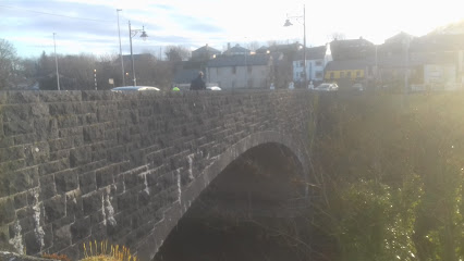
Maghera Beach
30.8 km
Discover the serene beauty of Maghera Beach in County Donegal, a picturesque haven of golden sands and dramatic cliffs along Ireland's stunning coastline.
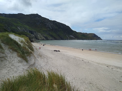
White Island Stone Figures (State Care Monument)
31.0 km
Explore the White Island Stone Figures, an unmatched historical landmark in Fermanagh, steeped in ancient Irish culture and surrounded by natural beauty.
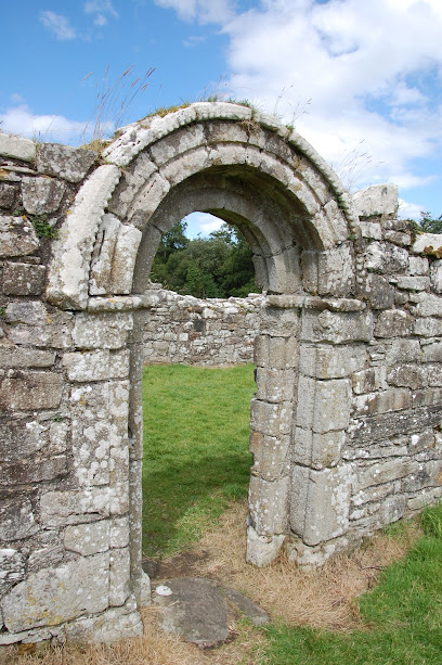
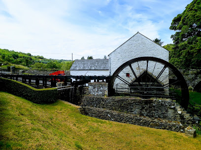
Newmills Corn & Flax Mill
31.0 km
Explore the historical Newmills Corn & Flax Mill in County Donegal, where Ireland's rich industrial heritage comes to life through engaging exhibits and scenic beauty.
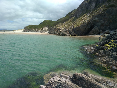
Caves of Maghera
31.3 km
Explore the natural beauty of the Caves of Maghera, a stunning coastal attraction in County Donegal, perfect for adventure and relaxation.
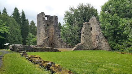
Old Castle Archdale (State Care Monument)
32.2 km
Explore the evocative ruins of Old Castle Archdale, a historic Plantation stronghold and WWII RAF base nestled in scenic County Fermanagh.
Unmissable attractions to see
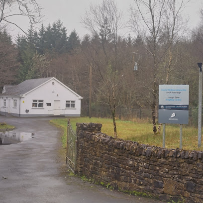
Eske Angling Centre IFI
0.3 km
Your basecamp for fishing adventures on Lough Eske, surrounded by the stunning landscapes of County Donegal, Ireland.
Lough Eske Castle
0.5 km
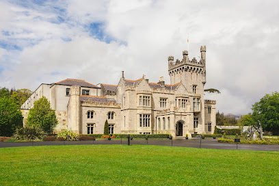
Experience Irish history and luxury at Lough Eske Castle, a stunningly restored 5-star hotel on the shores of Lough Eske in County Donegal.
International Appalachian Trail (IAT) Donegal
0.8 km
Hike the International Appalachian Trail in Donegal: Coastal cliffs, cultural immersion, and breathtaking Irish scenery await!
Donegal Town bypass Picnic area
4.1 km
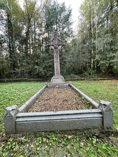
A scenic and accessible picnic spot along the N15, perfect for a relaxing break amidst Donegal's beautiful landscapes.
Famine Graveyard
4.8 km
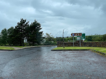
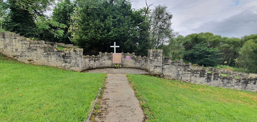
Explore the Famine Graveyard in Donegal, a poignant historical landmark honoring Ireland's resilience during the Great Famine.
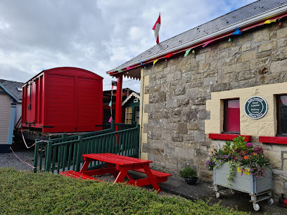
Donegal Railway Heritage Museum (Centre)
4.8 km
Discover the rich history of rail travel at Donegal Railway Heritage Museum, where captivating exhibits and vintage trains await in a charming setting.
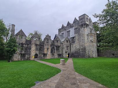
Donegal Castle
5.1 km
Explore Donegal Castle, a stunning historical landmark in Ireland, where centuries of heritage come alive amidst breathtaking landscapes.
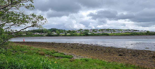
The River Bank Walk, Donegal Town
5.2 km
Escape to the serene River Bank Walk in Donegal Town: a scenic trail where nature meets history, perfect for a peaceful stroll.
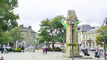
Donegal Town Diamond
5.2 km
Experience the vibrant heart of Donegal Town: history, culture, and community converge at the Diamond, a must-see landmark on the Wild Atlantic Way.
Donegal Bay Waterbus
5.3 km
Discover the breathtaking beauty of Donegal Bay on the Donegal Bay Waterbus, a scenic boat tour offering stunning views and rich marine life.
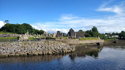
Abbey GRAVEYARD
5.7 km
Explore centuries of history at Donegal's Abbey Graveyard, a tranquil site where ancient headstones whisper tales of the past.
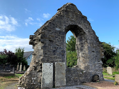
Rossylongan Forest
6.8 km
Discover a tranquil woodland escape in County Donegal, where nature meets art in the enchanting Rossylongan Forest.
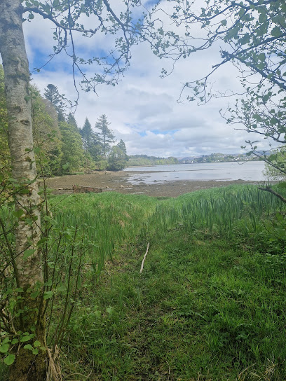
Mac Manus Estate
6.8 km
Discover a tranquil woodland escape near Donegal Town, featuring scenic trails and unique wood sculptures in a historic estate.
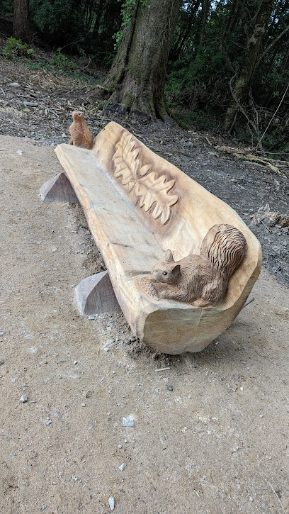
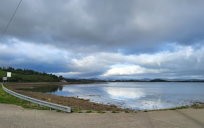
Wild Atlantic Way Discovery Point @Mountcharles Pier
11.4 km
Explore the stunning Mountcharles Pier on the Wild Atlantic Way, a perfect blend of natural beauty, adventure, and local charm.
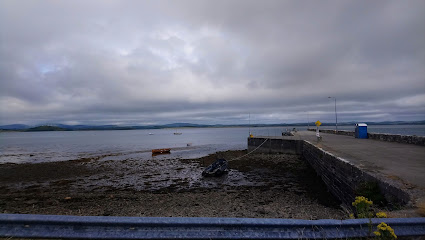
Salthill Gardens
11.5 km
Discover a serene escape at Salthill Gardens in Donegal, where contemporary horticulture meets historic walled charm near the Wild Atlantic Way.
Essential places to dine
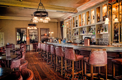
The Gallery Bar
0.4 km
Experience authentic Irish cuisine in a picturesque setting at The Gallery Bar in Solis Castle Lough Eske.
Cedars Restaurant
0.5 km
Indulge in exquisite fine dining at Cedars Restaurant in Lough Eske, where traditional Irish cuisine meets modern elegance amidst stunning views.

The Restaurant at Harvey's Point
0.8 km
Discover exquisite Irish cuisine at The Restaurant at Harvey's Point overlooking stunning Lough Eske - a fine dining experience like no other.

Harvey’s Bar & Terrace
0.8 km
Discover authentic Irish cuisine at Harvey's Bar & Terrace in Donegal – where tradition meets modern charm.

Harvey's Point
0.9 km
Discover luxury at Harvey's Point Hotel by Lough Eske: An idyllic retreat offering top-notch dining and breathtaking views in Donegal.

Chapter Twenty @ Mill Park Hotel
5.1 km
Discover exquisite dining at Chapter Twenty @ Mill Park Hotel in Donegal—where local flavors meet culinary artistry.
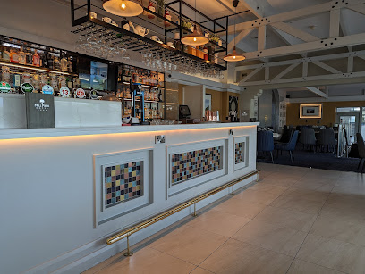
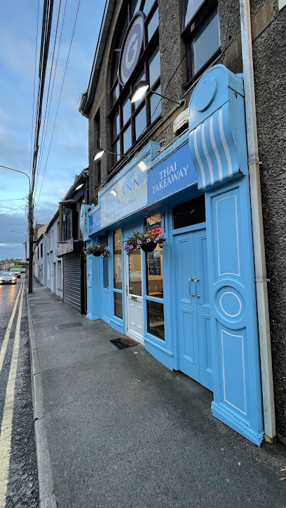
Thai Ann
5.1 km
Experience authentic Thai cuisine at Thai Ann in Donegal – where every bite takes you on an exotic culinary journey.
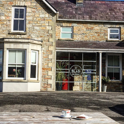
Blas
5.1 km
Discover Blas Bistro in Mullans, Donegal - where local flavors meet exceptional dining in a cozy atmosphere.
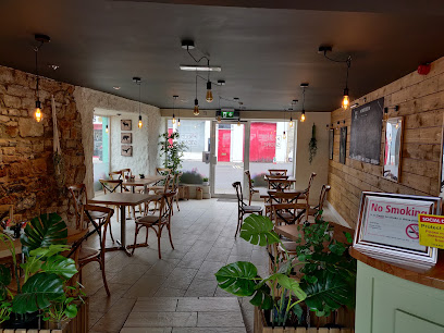
Old Stone
5.1 km
Experience authentic Irish cuisine at Old Stone Restaurant in Donegal – where local flavors meet warm hospitality.
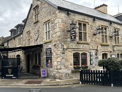
Olde Castle Seafood Bar
5.1 km
Experience authentic Irish seafood dining at Olde Castle Seafood Bar in Donegal Town – where every bite tells a story of the sea.
Blueberry Tea Room and Restaurant
5.1 km
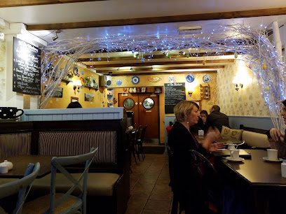
Experience delightful dining at Blueberry Tea Room in Donegal - where comfort meets exquisite flavors.
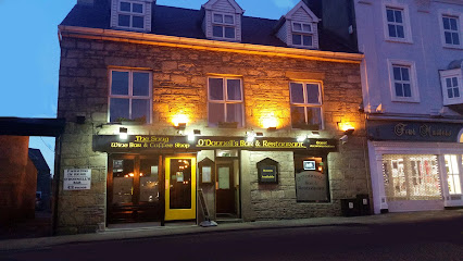
O'Donnells Bar & Restaurant Donegal
5.1 km
Discover the vibrant atmosphere at O'Donnells Bar & Restaurant in Donegal - where great food meets live music in an unforgettable setting.
La Bella Donna Restaurant
5.1 km
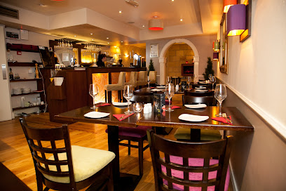
Discover authentic Italian cuisine at La Bella Donna Restaurant in Donegal, where every dish tells a story and every meal is an experience.
the 'Weaver's Loft' bistro
5.2 km
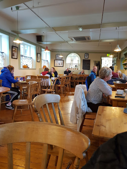
Experience authentic Irish cuisine at Weaver's Loft Bistro in Donegal – where local flavors meet warm hospitality.
Dock 84 Donegal
5.2 km
Experience authentic Irish flavors at Dock 84 Donegal - where fresh ingredients meet cozy ambiance in the heart of Donegal.
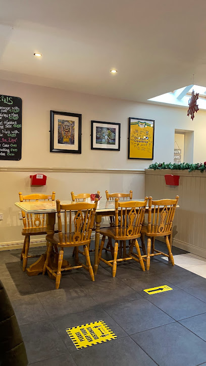
Markets, malls and hidden boutiques
So Lo Stores
4.2 km
Discover unbeatable deals and a friendly atmosphere at So Lo Stores, Donegal's favorite discount store for savvy travelers.

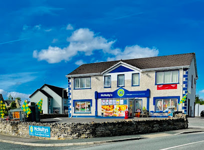
McNultys XL Store
4.5 km
Experience the essence of Donegal at McNulty's XL Store, a local grocery treasure offering fresh produce and Irish specialties.
Fou Tees
4.7 km
Explore the heart of Donegal with unique gifts and custom creations at Fou Tees, your go-to gift shop for memorable souvenirs.

Hata
4.9 km
Explore Hata in Donegal for a unique shopping experience, featuring local fashion that captures the essence of Irish culture and style.
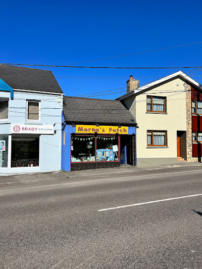
Morna's Patch
4.9 km
Explore Morna's Patch in Donegal for a unique shopping experience filled with quality wool, art supplies, and crafting materials.
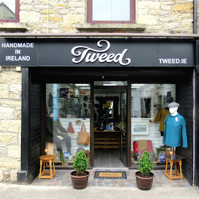
Tweed
5.1 km
Discover unique handmade fashion pieces at Tweed, a charming clothing store in Donegal, showcasing the best of Irish craftsmanship and design.
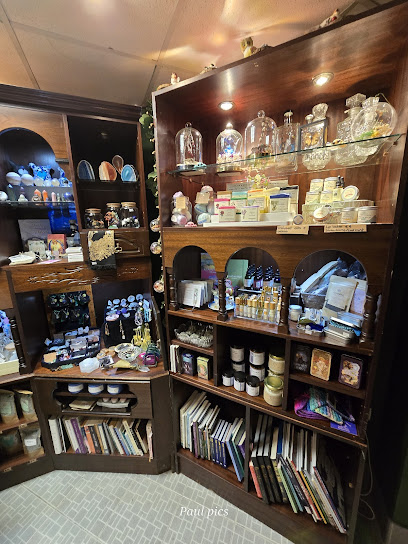
Arcanum Crafts
5.1 km
Explore Arcanum Crafts in Donegal for unique handmade treasures reflecting Ireland's rich cultural heritage.
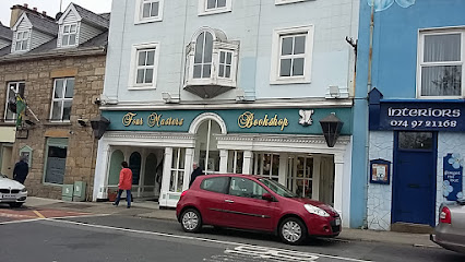
Four Masters Bookshop
5.1 km
Discover a unique selection of books and local gifts at Four Masters Bookshop in Donegal, where literature meets local culture.
Elite Boutique
5.1 km
Explore the unique fashion and accessories at Elite Boutique in Donegal, where style meets elegance in a charming local setting.

Forget Me Not
5.1 km
Explore the enchanting craft store, Forget Me Not, where local artistry and unique handmade treasures await in scenic Donegal.
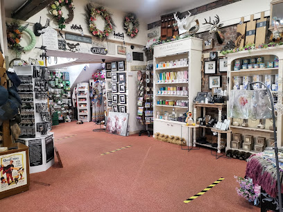
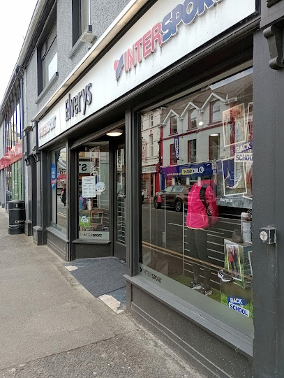
Intersport Elverys
5.1 km
Discover top-quality sportswear and outdoor gear at Intersport Elverys in Donegal, perfect for sports enthusiasts and outdoor adventurers.
Triona
5.1 km
Explore Triona in Donegal for unique Irish gifts, clothing, and jewelry, capturing the essence of local craftsmanship and culture.
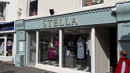
Stella Boutique
5.2 km
Explore the ethical elegance of Stella Boutique in Donegal, where fashion meets fair trade for a stylish and responsible shopping experience.
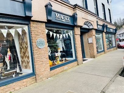
Magee of Donegal
5.2 km
Explore Magee of Donegal, where Irish craftsmanship meets contemporary style in a unique shopping experience.
Tots & Tassels
5.2 km
Discover unique fashion and accessories for all ages at Tots & Tassels, a charming clothing store in the heart of Donegal.

Essential bars & hidden hideouts
Annie Lynn's
5.1 km
Discover the charm of Donegal at Annie Lynn's, a cozy bar offering exceptional drinks and a welcoming atmosphere for all travelers.
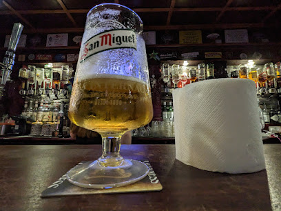
Mulreany's Bar
5.1 km
Discover the heart of Donegal at Mulreany's Bar, where authentic Irish culture and warm hospitality await every traveler.
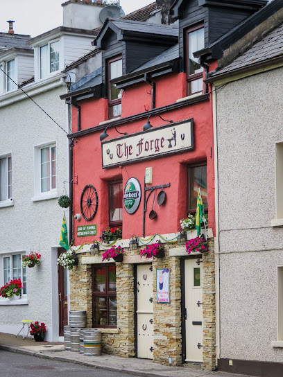
The Forge
5.1 km
Discover the charm of The Forge in Donegal, where authentic Irish pub culture, great food, and local brews await you.
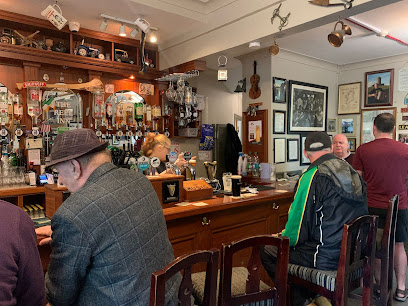
The Reel Inn
5.1 km
Experience authentic Irish hospitality at The Reel Inn in Donegal, where breathtaking views and local flavors come together in a cozy atmosphere.
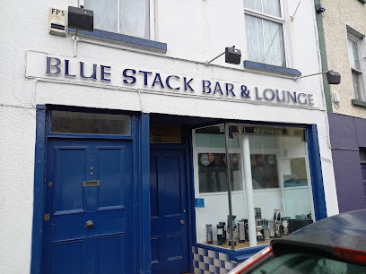
Bluestack Bar
5.2 km
Discover the inviting atmosphere of the Bluestack Bar in Donegal, where local charm meets refreshing drinks and vibrant entertainment.
The Reveller Bar
5.2 km
Experience the vibrant pub culture at The Reveller Bar in Donegal, where live music and local brews create unforgettable memories.
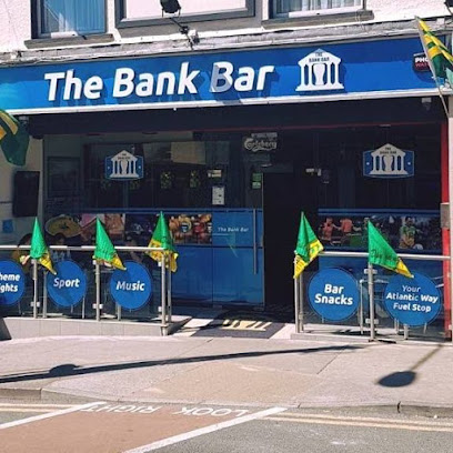
The Bank Bar
5.2 km
Discover the charm of The Bank Bar in Donegal, a cozy spot for locals and tourists to unwind with a drink and experience Irish hospitality.
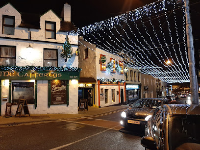
McCafferty's Bar, Donegal Town
5.2 km
Discover the heart of Donegal Town at McCafferty's Bar, where authentic Irish culture, live music, and a warm atmosphere await.
MillTown Bar And Petrol Station
13.1 km
Experience the local charm at MillTown Bar And Petrol Station in Mullanboys, Co. Donegal, where hospitality meets breathtaking scenery.
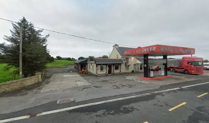
Mac's Bar
20.1 km
Experience authentic Irish hospitality at Mac's Bar in Dunkineely, where friendly locals and a warm ambiance await your visit.
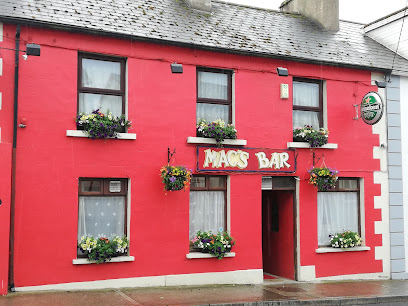
Mac Laughlins Bar
20.2 km
Experience authentic Irish hospitality at Mac Laughlins Bar in Dunkineely, a cozy retreat for tourists exploring County Donegal.
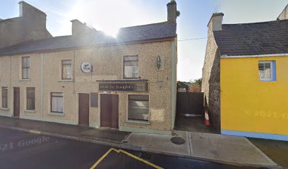
McIntyre's Bar
20.2 km
Experience the vibrant atmosphere and authentic flavors at McIntyre's Bar in Dunkineely, County Donegal.
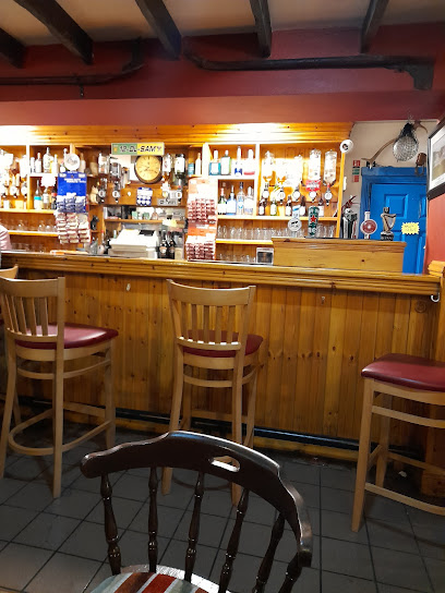
Max Bar
22.6 km
Experience the vibrant atmosphere of Max Bar in Ballyshannon, featuring live music, great drinks, and a welcoming beer garden.
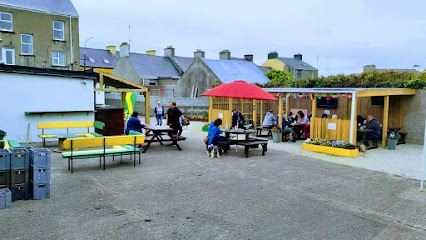
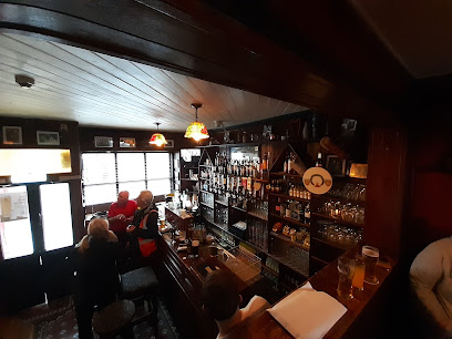
Finn McCool's pub
22.7 km
Discover the vibrant atmosphere of Finn McCool's Pub in Ballyshannon, where traditional Irish hospitality meets local charm.
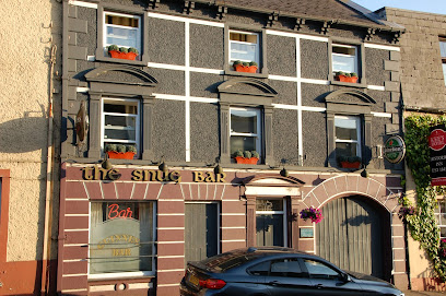
The Snug Bar
22.7 km
Experience the warmth and charm of The Snug Bar in Stranorlar, Co. Donegal, where great drinks and friendly faces await every visitor.
Nightclubs & after hour spots
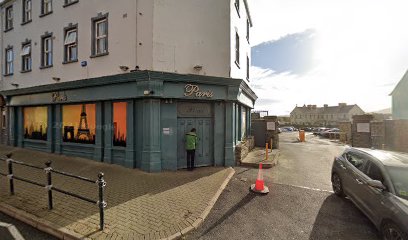
Paris
27.5 km
Discover the energetic nightlife of Bundoran, where vibrant nightclubs and stunning coastal views create unforgettable memories.
Voodoo Venue
35.4 km
Experience the electric nightlife of Letterkenny at Voodoo Venue, where cocktails, live music, and vibrant energy await every visitor.
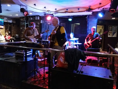
PULSE VENUE
36.1 km
Experience the vibrant nightlife at PULSE VENUE, Letterkenny's premier night club offering live music and unforgettable dance parties.

Fifth Avenue Letterkenny
36.1 km
Dive into the heart of Letterkenny's nightlife at Fifth Avenue, where vibrant music and lively dance floors create unforgettable moments.
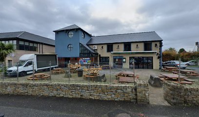
XOX Strabane
41.3 km
Experience the vibrant nightlife of Strabane at XOX, the town’s premier nightclub for late-night music, dancing, and social energy.

Smugglers night club
43.4 km
Discover the heart of Donegal's nightlife at Smugglers Night Club, where vibrant music and a lively atmosphere await.

The Dodge Niteclub
45.1 km
Experience the vibrant energy of The Dodge Nightclub in Derrybeg, where music and dancing create unforgettable nights in Donegal.
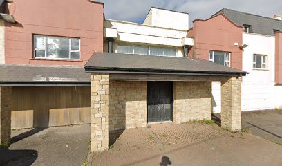
Devenish Bar
47.1 km
Discover the lively Devenish Bar in Enniskillen - a perfect spot for delicious food, refreshing drinks, and live music entertainment.

Wildes Lounge
47.6 km
Stylish lounge with locally sourced cuisine, an extensive whisky room, and a cozy atmosphere in the heart of Enniskillen.
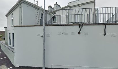
The Gasworks Club
47.7 km
Energetic nightclub with a large dance floor and beer garden, The Gasworks Club is Enniskillen’s go-to spot for lively nights and live music.
Tiger Lillys
50.2 km
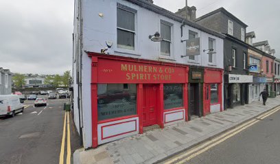
Omagh’s vibrant jungle-themed nightclub offering fresh cocktails and lively nights exclusively for the 18+ crowd.

The Vault Nightclub
50.4 km
Discover the vibrant nightlife at The Vault Nightclub in Omagh, where music, dancing, and fun come together for an unforgettable experience.

The Leitrim Bar
53.5 km
Experience the warmth of Irish hospitality at The Leitrim Bar, a beloved pub in Sligo offering local brews, hearty meals, and live music.
Lillie's Cocktail Bar Sligo
53.6 km
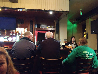
Discover the vibrant atmosphere of Lillie's Cocktail Bar in Sligo, where handcrafted cocktails and live music create unforgettable evenings.

Cocktail Club
53.6 km
Discover the vibrant atmosphere and expertly crafted cocktails at Sligo's Cocktail Club, a must-visit for nightlife enthusiasts.


