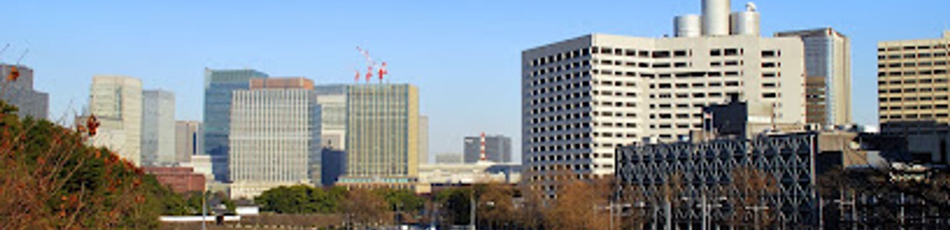
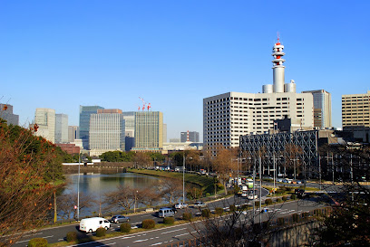
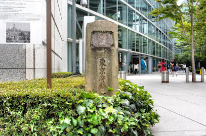
The Japanese Geodetic Origin Point: A Cultural Landmark of Precision
Discover the Japanese Geodetic Origin Point, a historical landmark symbolizing Japan's precision in mapping and geographical significance.
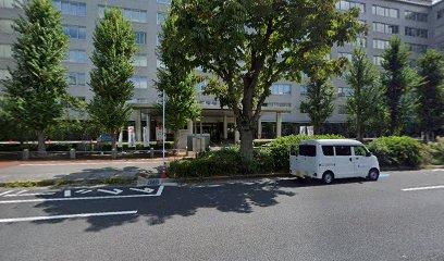
The Japanese Geodetic Origin Point, located in the heart of Tokyo, serves as a significant cultural and historical landmark. This site marks the official point of measurement for all geographical coordinates in Japan, making it a must-visit for tourists interested in understanding the country's intricate relationship with geography. The site is surrounded by beautiful architecture and provides a unique glimpse into Japan's commitment to precision and accuracy in mapping.
A brief summary to Japanese Geodetic Origin Point
- 1 Chome-1-2 Nagatachō, Chiyoda City, 1 Chome Nagatachō, Tokyo, 100-0014, JP
- Visit website
Local tips
- Visit early in the morning to enjoy a quieter experience and take stunning photographs.
- Combine your visit with nearby attractions for a full day of cultural exploration.
- Check for any informational displays or guided tours that might be available during your visit.
- Respect the site's significance by maintaining a quiet demeanor and not climbing on the monument.
Getting There
-
Subway
If you are starting from Shinjuku Station, take the Tokyo Metro Marunouchi Line towards Ogikubo. Transfer at Otemachi Station to the Tokyo Metro Chiyoda Line. Take the train towards Yoyogi-Uehara and get off at Nagatacho Station. Take Exit 5 and walk towards the east for approximately 5 minutes. The Japanese Geodetic Origin Point is located at 1 Chome-1-2 Nagatachō, Chiyoda City, Tokyo 100-0014.
-
Bus
If you are near Tokyo Station, you can take a Toei Bus from the Marunouchi South Exit. Look for the bus stop labeled 'Marunouchi South Exit'. Board the bus heading towards 'Nagatacho'. After about 10 minutes, get off at the Nagatacho stop. Walk east for about 3 minutes to reach the Japanese Geodetic Origin Point located at 1 Chome-1-2 Nagatachō, Chiyoda City, Tokyo 100-0014.
-
Walking
If you are near the Imperial Palace, you can walk to the Japanese Geodetic Origin Point. Start at the Imperial Palace and head northeast towards the Nagatacho area. Walk along the Sakuradamon Street and continue straight. After about a 15-20 minute walk, you will reach the destination at 1 Chome-1-2 Nagatachō, Chiyoda City, Tokyo 100-0014.
Discover more about Japanese Geodetic Origin Point
Iconic landmarks you can’t miss
Japanese Geodetic Origin Point
0.0 km
Discover the Japanese Geodetic Origin Point, a historical landmark symbolizing Japan's precision in mapping and geographical significance.
1-chōme-2-1 Kasumigaseki
0.5 km
Discover the political heart of Japan in Kasumigaseki, Tokyo, where history meets modernity in a vibrant urban landscape.
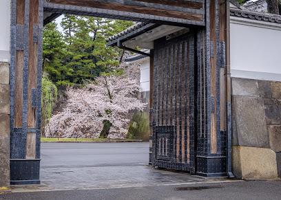
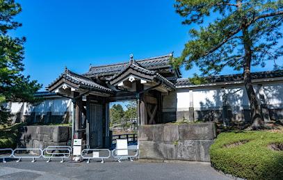
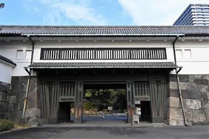
Sakurada-mon
0.6 km
Discover the majestic Sakurada-mon, a historical landmark in Tokyo, where Japan's imperial heritage meets serene natural beauty.
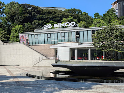
BINGO Sports International
0.8 km
Explore BINGO Sports International in Tokyo for an exciting auto auction and showroom experience, showcasing classic and modern vehicles alike.
Imperial Hotel Tokyo
1.1 km
Experience world-class luxury and rich history at the Imperial Hotel Tokyo, a landmark near the Imperial Palace and Ginza.

LIVE JAPAN office
1.1 km
Explore Tokyo like a local with insights from the LIVE JAPAN office at Tokyo Midtown Hibiya. Your gateway to unforgettable experiences in Japan.
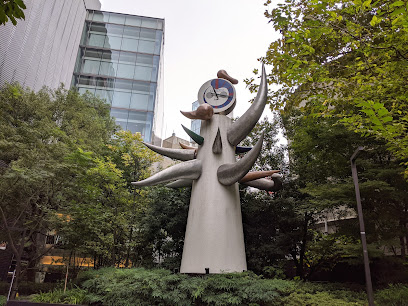
Young Clock Tower
1.4 km
Discover the Young Clock Tower in Tokyo's Ginza district, a stunning sculpture blending art, history, and the vibrant atmosphere of Japan's luxury shopping paradise.
Mitsubishi Ichigokan Museum
1.4 km
Explore the captivating Mitsubishi Ichigokan Museum in Tokyo, where contemporary art meets historical architecture in a unique cultural experience.
Kita-Hanebashi Gate
1.4 km
Explore the historical Kita-Hanebashi Gate in Tokyo, a stunning heritage site that reflects the rich culture and architectural beauty of Japan.
Edo Castle Ruins
1.4 km
Discover the historical charm of Edo Castle Ruins in Tokyo, where ancient architecture meets serene landscapes, perfect for history enthusiasts and nature lovers alike.
Wadakura-mon Gate
1.4 km
Explore the serene beauty and historical significance of Wadakura-mon Gate, the majestic entrance to Tokyo's Imperial Palace, set in lush gardens.
Ōte-mon Gate
1.5 km
Explore the stunning Ōte-mon Gate in Tokyo, a historical landmark that embodies the beauty of Japanese heritage and architecture.
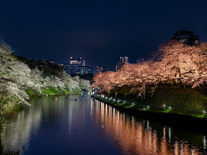
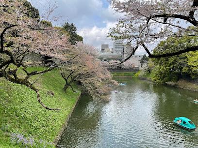
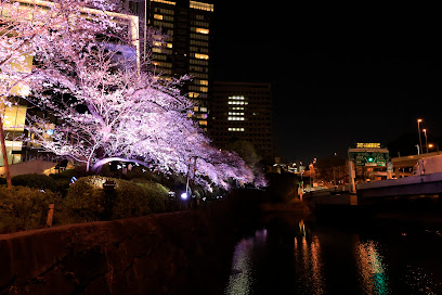
Chidorigafuchi Moat
1.5 km
Experience Tokyo's stunning beauty at Chidorigafuchi Moat. Stroll along the scenic Green Way or rent a boat for a unique cherry blossom view.
Remains of Tokyo Prefectural Office
1.5 km
Discover the historic Remains of the Tokyo Prefectural Office, a captivating blend of architectural beauty and historical significance in the heart of Tokyo.
Ginza Graphic Gallery
1.6 km
Discover contemporary and traditional Japanese graphic art in the heart of Tokyo at Ginza Graphic Gallery, a must-visit for art lovers.
Unmissable attractions to see
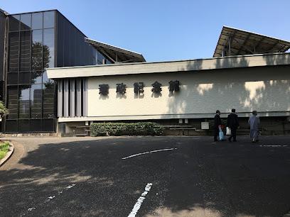
Parliamentary Museum
0.3 km
Explore Japan's political history at this free museum showcasing the nation's journey through parliamentary democracy in the heart of Tokyo.
Shiomizaka
0.4 km
Discover Shiomizaka in Tokyo: A scenic slope with historical significance, offering views of government landmarks and nearby attractions.
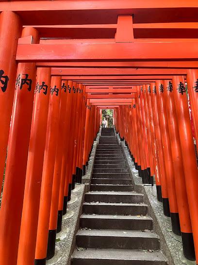
Hie Shrine
0.8 km
Discover tranquility in Tokyo's heart at Hie Shrine, a historic sanctuary with vibrant torii gates and sacred monkey guardians.
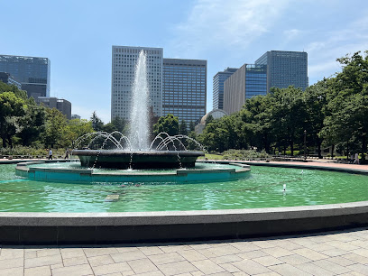
Grand Fountain
0.9 km
Experience the beauty and tranquility of Tokyo's iconic Grand Fountain, a centerpiece of Hibiya Park's Western-style landscape.
The Place of Death of Date Masamune
1.0 km
A historical landmark in Tokyo's Hibiya Park, commemorating the final moments of the legendary samurai lord, Date Masamune.
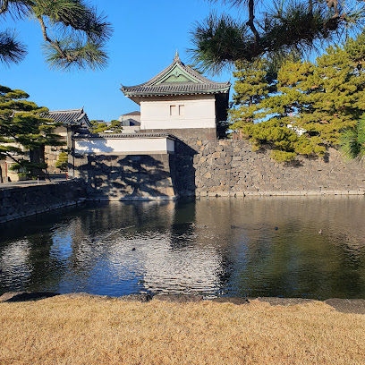
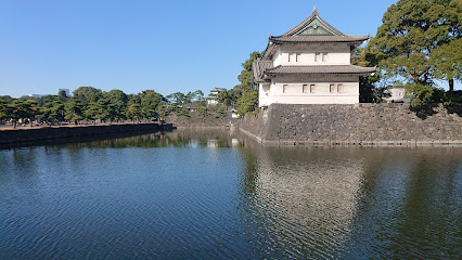
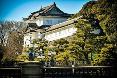
Imperial Palace
1.0 km
Explore the historic home of Japan's Emperor in Tokyo. Wander gardens & glimpse imperial history at the former Edo Castle site.
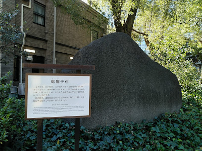
Eboshi Stone Monument
1.0 km
Explore the Eboshi Stone Monument, a historical gem in Hibiya Park, where Tokyo's rich culture meets serene natural beauty.
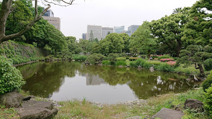
Chidorigafuchi Park
1.0 km
Experience Tokyo's breathtaking cherry blossoms at Chidorigafuchi Park, a serene oasis along the Imperial Palace moat offering stunning seasonal beauty.
Benkei Bridge
1.1 km
Discover Benkei Bridge in Tokyo: a scenic urban landmark offering tranquility, history, and breathtaking views in the heart of the city.
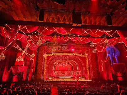
Tokyo Takarazuka Theater
1.1 km
Experience the magic of Takarazuka, an all-female musical revue in Tokyo, with dazzling costumes, captivating performances, and a century of history.
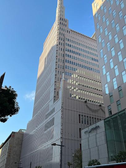
Imperial Theatre
1.2 km
Experience world-class performances at Tokyo's historic Imperial Theatre, a landmark of Western-style performing arts since 1911.
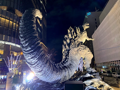
Godzilla Statue
1.2 km
A towering tribute to the King of the Monsters, offering a unique photo op in the heart of Tokyo's Yurakucho district.
TBS Akasaka ACT Theater
1.2 km
Experience world-class performances at the TBS Akasaka ACT Theater in the heart of Tokyo's vibrant Akasaka district.
Yurakucho Sanchoku Inshokugai / Yurakucho Farm to Table Dining Alley
1.3 km
Explore regional Japanese cuisine in a retro atmosphere at Yurakucho Sanchoku Inshokugai, a unique dining experience under the train tracks.
Zouk Tokyo
1.3 km
Experience the electrifying nightlife of Zouk Tokyo, a premier night club in the heart of Ginza, where world-class DJs and vibrant energy await.
Essential places to dine
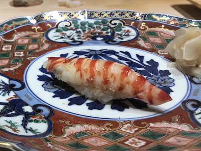
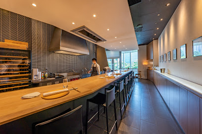
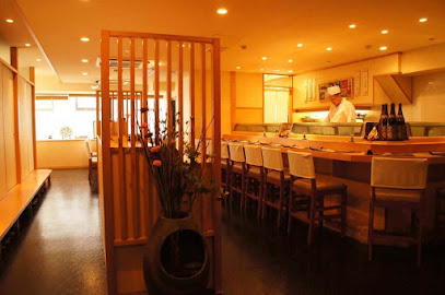
Nagatacho Sushi Kanesaka
0.6 km
Discover authentic Japanese flavors at Nagatacho Sushi Kanesaka, where every bite transports you to culinary bliss.
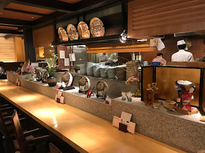
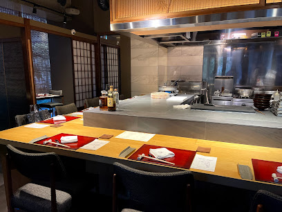
Sushi Omi
0.7 km
Discover Sushi Omi: Tokyo's premier destination for authentic Japanese sushi crafted with fresh ingredients and expert artistry.
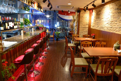
Restaurant Amigo
1.0 km
Experience authentic Paraguayan cuisine at Restaurant Amigo in Tokyo's Akasaka district; a delightful blend of flavors awaits!
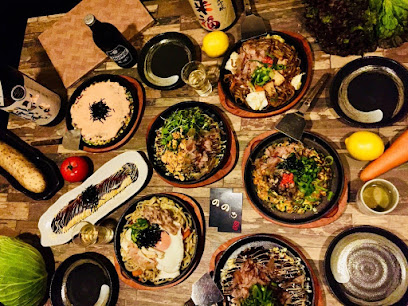
okonomiyaki noro akasaka
1.0 km
Experience authentic okonomiyaki in Akasaka at Okonomiyaki Noro—where flavor meets tradition in every bite.
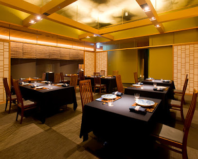
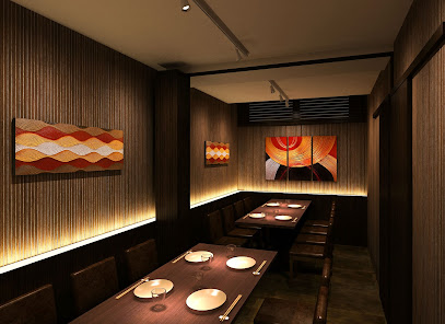
日本料理 龍吟
1.1 km
Discover exceptional kaiseki cuisine at Nihonryori Ryugin in Tokyo – where tradition meets innovation for an unforgettable dining experience.
Restaurant Toyo Tokyo
1.1 km
Experience exquisite French-Japanese fusion cuisine at Restaurant Toyo Tokyo, where culinary artistry meets elegant dining in the heart of Japan's capital.
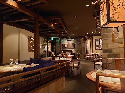
Hei Fung Terrace
1.2 km
Experience authentic Chinese cuisine at Hei Fung Terrace in Tokyo – where tradition meets luxury in every dish.
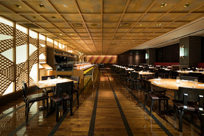
NOBU Tokyo
1.3 km
Experience the fusion of tradition and innovation at NOBU Tokyo, where exquisite Japanese cuisine meets modern elegance.
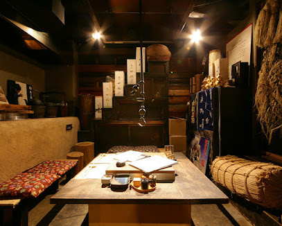
Tosa Cuisine Neboke Marunouchi
1.3 km
Experience authentic Tosa cuisine at Neboke Marunouchi – where tradition meets flavor in every dish.
Sushi Tajima
1.4 km
Experience exquisite sushi craftsmanship in Tokyo's upscale Ginza district at Sushi Tajima.
AKASAKA Tan伍
1.4 km
Savor exquisite tongue dishes in a modern izakaya setting at AKASAKA Tan伍, where culinary tradition meets contemporary flair.
Akita Dining Namahagé Ginza
1.5 km
Discover the rich flavors of Akita cuisine at Akita Dining Namahagé Ginza – where tradition meets taste in Tokyo's vibrant heart.
Niku Kappo Kyo
1.5 km
Experience authentic Japanese cuisine at Niku Kappo Kyo - where premium meats meet culinary artistry in Tokyo's Akasaka district.
Plaiga TOKYO
1.5 km
Discover culinary artistry at Plaiga TOKYO - where modern French cuisine meets sophistication in the heart of Marunouchi.
Vampire Café
1.5 km
Experience gothic charm and delightful cuisine at Tokyo's one-of-a-kind Vampire Café in Ginza.

Markets, malls and hidden boutiques
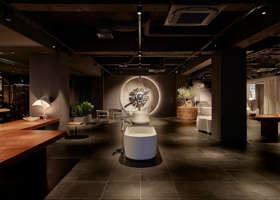
HIDEO TOKYO
0.9 km
Experience the elegance of modern Japanese design at HIDEO TOKYO, a must-visit home goods store in Akasaka, Tokyo.
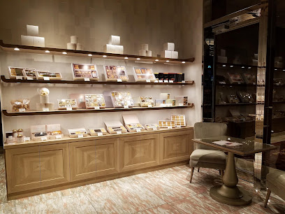
SWEETS & GIFTS
1.2 km
Discover a luxurious dessert experience at Sweets & Gifts in Marunouchi, Tokyo, offering exquisite pastries and gourmet chocolates.
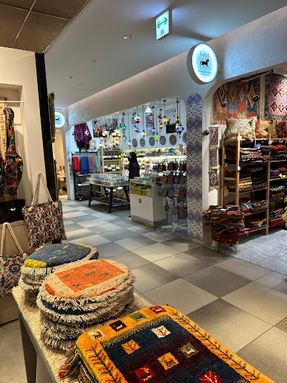
トルコ雑貨Lord Handmade Gallery 銀座店
1.4 km
Explore authentic Turkish souvenirs and exquisite carpets at Lord Handmade Gallery, a charming gem in Tokyo's vibrant Ginza district.
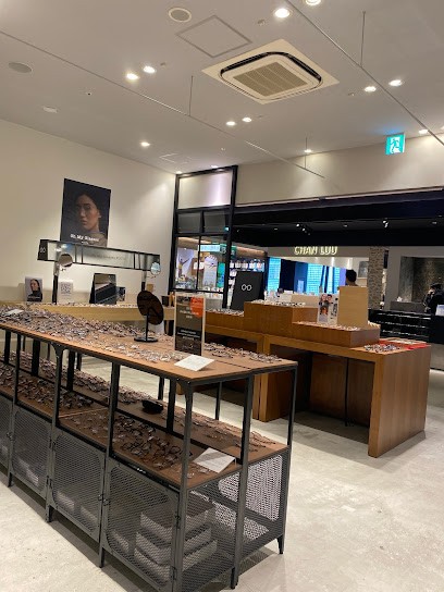
Oh My Glasses Tokyo Tokyu Plaza Ginza
1.4 km
Explore stylish eyewear at Oh My Glasses Tokyo in Ginza, where fashion meets functionality in the heart of Tokyo's upscale shopping district.
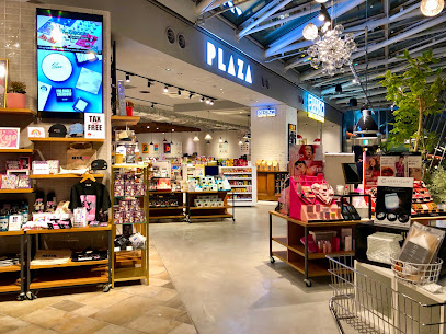
PLAZA Tokyo Store
1.5 km
Experience the vibrant shopping culture at PLAZA Tokyo Store, where unique finds and local flavors await you.
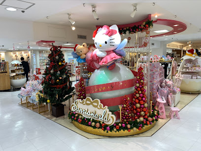
Sanrio World Ginza
1.5 km
Explore a treasure trove of Sanrio delights at Sanrio World Ginza, a must-visit gift shop in Tokyo's vibrant shopping district.
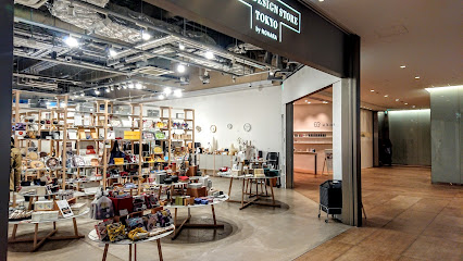
Good Design Store TOKYO by NOHARA
1.6 km
Explore Good Design Store TOKYO by NOHARA for unique gifts and home goods that reflect Japan's rich design culture.
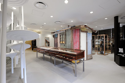
Dover Street Market Ginza
1.6 km
Explore the innovative and artistic shopping experience at Dover Street Market Ginza, where fashion meets creativity in Tokyo's iconic district.
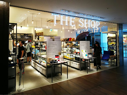
THE SHOP TOKYO
1.6 km
Explore the whimsical world of THE SHOP TOKYO, where unique gifts and delightful surprises await in the heart of Marunouchi.
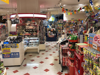
HAKUHINKAN TOY PARK
1.6 km
Explore HAKUHINKAN TOY PARK in Ginza, Tokyo - a whimsical toy paradise filled with unique collectibles and joyful experiences for all ages.
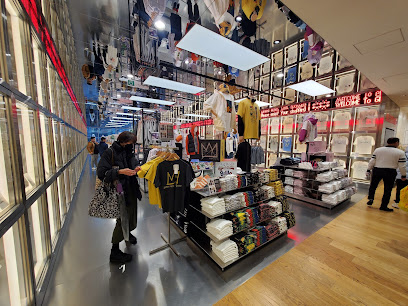
Uniqlo Ginza Flagship Store
1.6 km
Explore the Uniqlo Ginza Flagship Store, Tokyo's premier destination for stylish clothing and unique fashion finds in the heart of Ginza.
SEIKO DREAM SQUARE
1.6 km
Discover timeless elegance at Seiko Dream Square, Tokyo's premier destination for exquisite watches and rich craftsmanship.
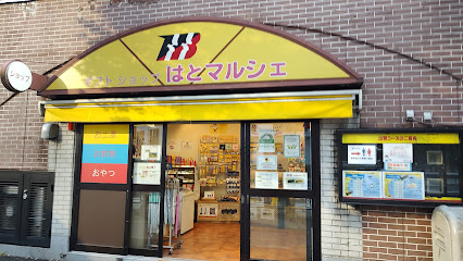
HATO MARCHE Gift Shop
1.6 km
Explore HATO MARCHE Gift Shop in Tokyo for unique souvenirs and gifts that embody the spirit of Japan, perfect for every traveler.
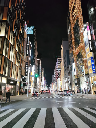
GINZA gCUBE
1.6 km
Explore the luxurious GINZA gCUBE in Tokyo, where shopping meets contemporary design and diverse dining experiences await.
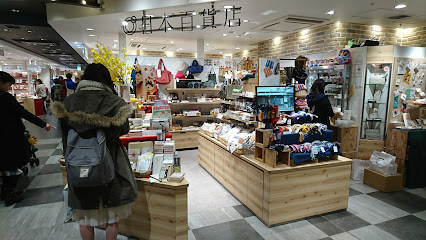
Nippon Department Tokyo
1.7 km
Discover the essence of Japan at Nippon Department Tokyo, your one-stop shop for unique souvenirs, local delicacies, and cultural treasures.
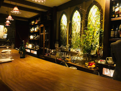
Essential bars & hidden hideouts
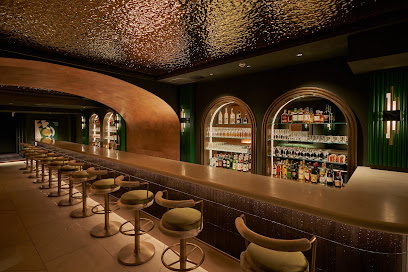
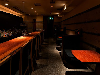
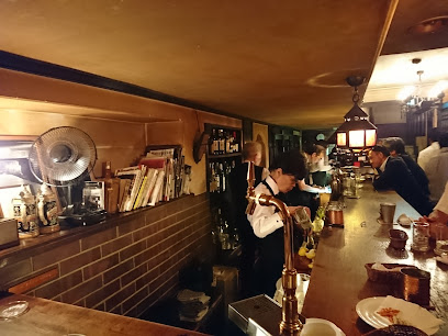
Satin
1.0 km
Satin Bar in Tokyo: A hidden gem with a speakeasy vibe, offering exquisite cocktails and an intimate atmosphere for unforgettable nights.
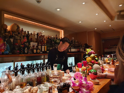
Echigo Bar Akasaka Nihonshu
1.0 km
Experience the authentic taste of Japan at Echigo Bar Akasaka Nihonshu, where premium sake and delightful cuisine await in a cozy atmosphere.
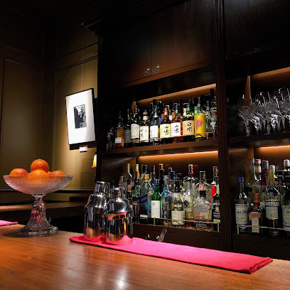
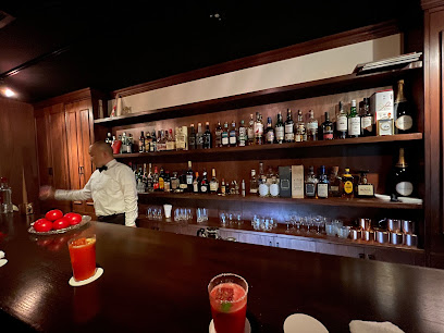
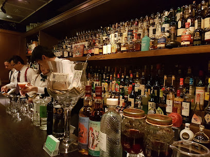
MAIN BAR
1.2 km
Discover sophistication and exquisite cocktails at MAIN BAR, an upscale bar experience in the heart of Tokyo's Marunouchi district.
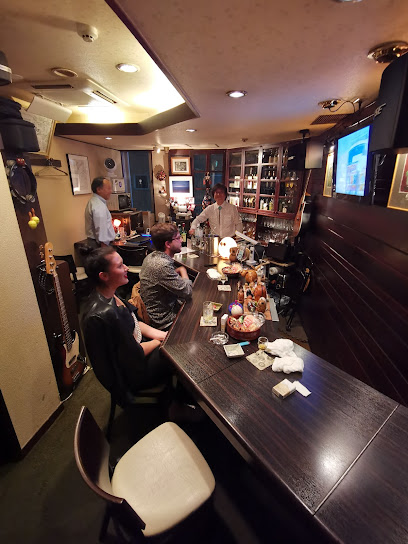
Omiki bar
1.3 km
Discover Omiki Bar in Ginza, where elegance meets expertly crafted cocktails in a chic atmosphere, perfect for a night out in Tokyo.
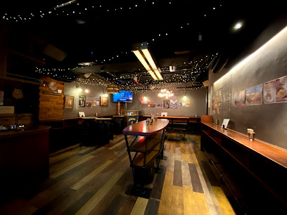
Jazz & Soul Bar - The Deep
1.3 km
Discover the soulful rhythms and cozy ambiance of Jazz & Soul Bar - The Deep, Tokyo's hidden gem in the heart of Ginza.
THE BAR CASABLANCA GINZA
1.3 km
Discover the charm of The Bar Casablanca Ginza, Tokyo's elegant bar offering exquisite cocktails and a taste of vibrant nightlife in the heart of Ginza.
Ginza 300
1.4 km
Discover Ginza 300: A lively cocktail bar in Tokyo, offering a unique blend of flavors, affordable drinks, and a vibrant social atmosphere.
BAR TOKYO
1.4 km
Discover BAR TOKYO: A cocktail haven in Ginza with an inviting atmosphere, exquisite drinks, and delicious snacks to enhance your night out.
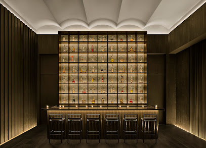
Gold Bar at EDITION
1.4 km
Experience the luxurious Gold Bar at EDITION in Tokyo, where innovative cocktails and a vibrant atmosphere await every visitor.
Bar Landscape.
1.4 km
Experience the chic ambiance and exquisite cocktails at Bar Landscape, a premier Ginza bar blending modern style with Tokyo's vibrant nightlife.
ORCHARD GINZA
1.4 km
Discover the artistry of cocktails in the intimate setting of Orchard Ginza, Tokyo's hidden bar gem offering exceptional drinks and personalized service.
Bob’s Bar
1.5 km
Discover the vibrant atmosphere of Bob's Bar in Ginza, where expertly crafted cocktails meet a welcoming ambiance in the heart of Tokyo.
Land Bar Artisan (New)
1.5 km
Discover the art of cocktail making at Land Bar Artisan, Tokyo's hidden gem for an unforgettable nightlife experience blending seasonal flavors and creativity.
High Five
1.5 km
Discover High Five, a premier bar in Ginza, Tokyo, known for its exquisite cocktails and vibrant nightlife ambiance.
Bar Lupin
1.6 km
Experience the unique charm of Bar Lupin in Ginza, Tokyo, where innovative cocktails and a cozy atmosphere create unforgettable moments.
Nightclubs & after hour spots
ジニアス東京
1.4 km
Discover the electrifying nightlife of Geniustokyo, a premier night club in the heart of Ginza, where music and energy meet for an unforgettable experience.
Night Club Raise
1.4 km
Immerse yourself in the exhilarating nightlife of Tokyo at Night Club Raise, where music and vibrant energy create unforgettable memories.
YAH TOKYO
1.4 km
Discover the lively ambiance and unique hospitality of YAH TOKYO, a premier girl bar in Ginza, where unforgettable nights await.
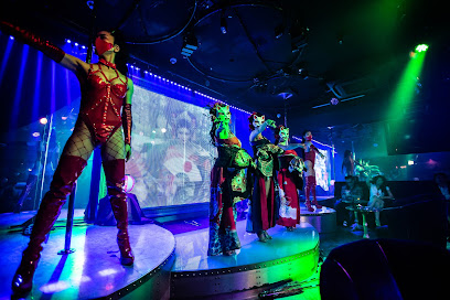
オアシス GENTLEMAN CLUB OASIS
1.5 km
Discover the vibrant nightlife at GENTLEMAN CLUB OASIS, Tokyo's premier night club and cabaret in the upscale Ginza district.
Ginza Club Cotton Club
1.5 km
Discover the heart of Tokyo's nightlife at Ginza Club Cotton Club, where cabaret meets live music in a vibrant atmosphere.
CATTUS
1.5 km
Experience the electrifying nightlife of Tokyo at CATTUS, Ginza's premier night club, where music and energy meet in an unforgettable atmosphere.
club Lounge Uen (ゆえん)
1.5 km
Discover the energy of Tokyo's nightlife at Club Lounge Uen, a stylish club in the heart of Ginza with exceptional drinks and captivating ambiance.
club socie GLAM CLUB
1.5 km
Experience the electrifying nightlife at Club Socie, Tokyo's premier night club in the vibrant Ginza district, where luxury meets excitement.
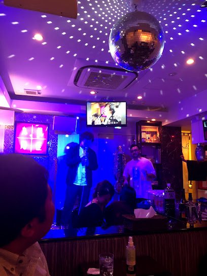
銀座九尾
1.5 km
Discover the ultimate karaoke experience at 銀座九尾 in Ginza, Tokyo, where entertainment meets style in a vibrant nightlife setting.
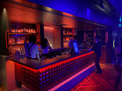
TANTRA TOKYO
2.0 km
Discover the vibrant nightlife of Tokyo at TANTRA TOKYO, a premier night club and cabaret in Roppongi offering unforgettable entertainment and exquisite cocktails.
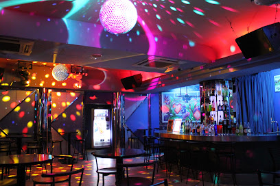
party on TOKYO box disco
2.0 km
Discover the heart of Tokyo's nightlife at Party On Tokyo Box Disco, a vibrant venue for unforgettable dance and live music experiences.
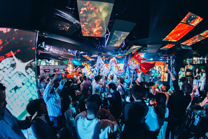
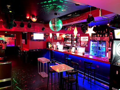
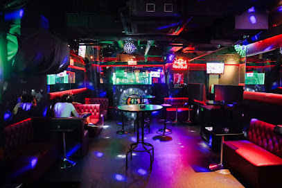
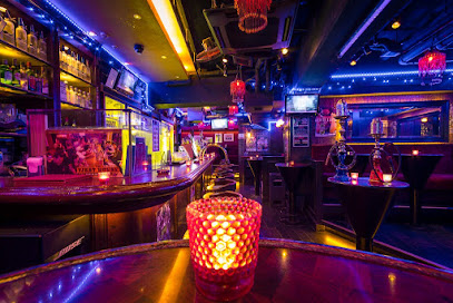
ODEON TOKYO
2.0 km
Discover Tokyo's nightlife at ODEON, where dance, drinks, and vibrant energy await you in the heart of Roppongi.
Sonidos Bar Roppongi
2.0 km
Discover the heart of Tokyo's nightlife at Sonidos Bar Roppongi, where live music and vibrant disco beats create unforgettable moments.
THE FIRST HOUSE(ザファーストハウス) 六本木|シーシャバー
2.1 km
Discover the vibrant nightlife of Tokyo at The First House, a unique blend of dance club, hookah bar, and Irish pub in Roppongi.
IBEX-TOKYO アイベックス トウキョウ Hip Hop, reggae, afro Night Club
2.1 km
Dive into the vibrant nightlife of Tokyo at IBEX-TOKYO, where hip hop, reggae, and afro beats pulse through the heart of Roppongi.