

Free Osage Plains Travel Guide & Mobile App
Explore Osage Plains with free travel guides. Discover regional history, expert tips, proposed trips, and audio guides on web or mobile app.


Explore Missouri’s Osage Plains for open prairie, historic rail towns, state parks, cycling routes, farm country and welcoming small-town culture.
Read more about Osage Plains
When is the best time to visit Osage Plains?
Best: April–May, September · 20–26°C| Month | High (°C) | Rainfall (mm) |
|---|---|---|
| January | 5 | 40 |
| February | 7 | 45 |
| March | 14 | 55 |
| April (best) | 20 | 70 |
| May (best) | 25 | 85 |
| June | 30 | 90 |
| July | 32 | 90 |
| August | 31 | 90 |
| September (best) | 26 | 80 |
| October | 20 | 70 |
| November | 12 | 55 |
| December | 7 | 45 |
Getting to and around Osage Plains
How to get there
Transportation
Top city travel guides in Osage Plains
The cities of Osage Plains, and the easiest places to base yourself.
-

-

-

-

-

-


Swipe for more cities
Destinations in Osage Plains
Resorts, valleys and scenic spots worth a trip of their own.
-

-

-
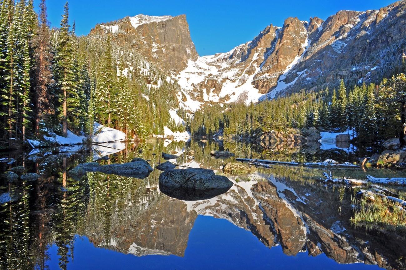 Table Rock Lake
, Missouri, pairs clear water, wooded shores and Ozark scenery with boating, fishing, hiking and lively lakeside towns in the United States.
-
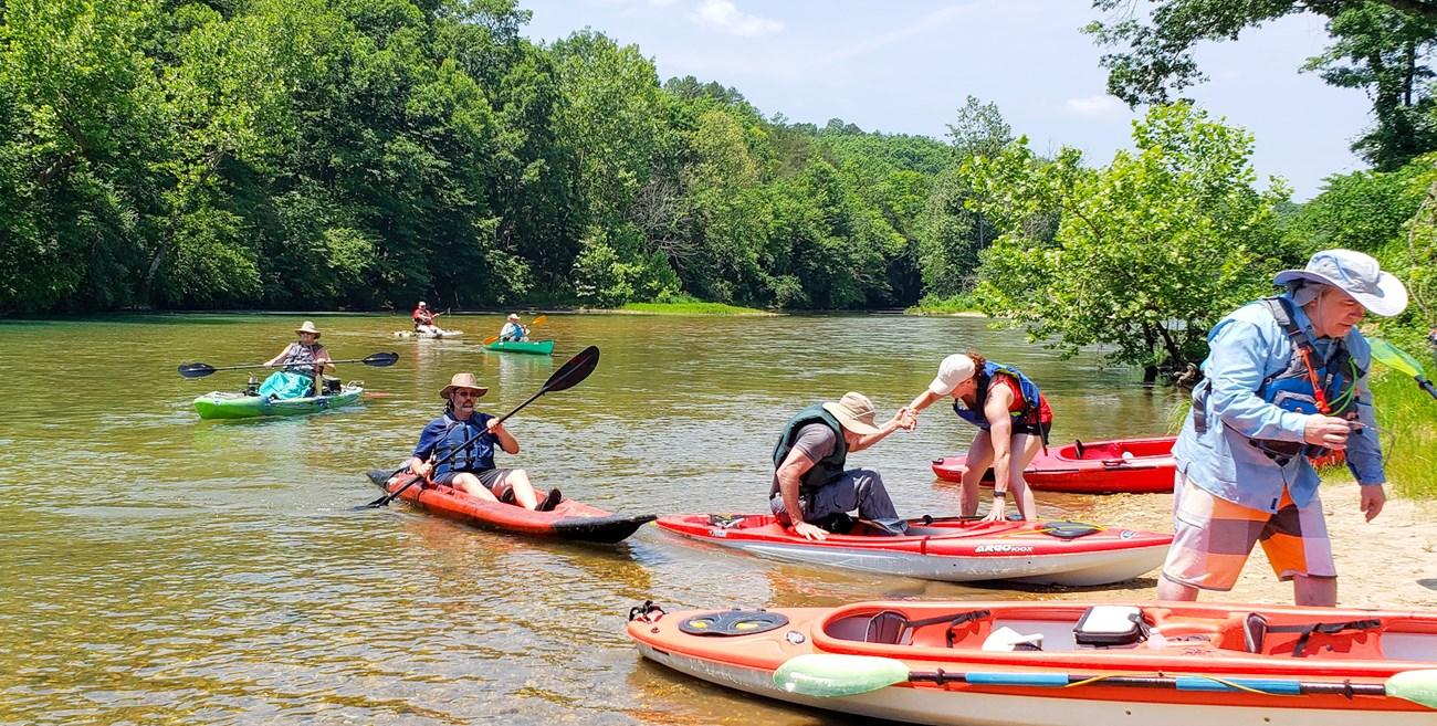 Stockton Lake
, Missouri, offers clear-water boating, sailing, fishing, beaches, forested coves and quiet lakeside recreation in the Ozarks through every season.
-


Swipe for more destinations
Best attractions in Osage Plains
Attractions across the Osage Plains are defined by open country, working landscapes and historic communities rather than by one dense tourism centre. Sedalia provides the strongest concentration of museums, arts venues, railway heritage and civic history, while the Missouri State Fairgrounds reflect the region’s continuing agricultural identity. Bothwell Lodge State Historic Site offers a carefully preserved house and grounds associated with early twentieth-century regional wealth. The Katy Trail brings walkers and cyclists through a former railway landscape, with access and services varying between communities. Knob Noster State Park combines prairie, woodland, streams and outdoor recreation near the western part of the region. Around Clinton and the broad Truman Lake area, boating, fishing, hiking and camping become central attractions. Smaller towns contribute courthouses, historic main streets, local galleries, seasonal fairs and independent museums. Birdwatching, wildlife observation and scenic driving are rewarding in quieter rural districts, particularly where streams, hedgerows and prairie remnants interrupt the agricultural grid. Because distances are considerable, visitors should group attractions by area rather than treating the Osage Plains as a compact day-trip circuit.
-
State park
Ha Ha Tonka State Park
Discover nature's beauty and historical treasures at Ha Ha Tonka State Park in Missouri, a must-visit for outdoor enthusiasts and history lovers.
-
State park
Lake of the Ozarks State Park
Experience the breathtaking landscapes and outdoor adventures at Lake of the Ozarks State Park, a premier destination for nature lovers and thrill-seekers alike.
-
Tourist attraction
Bridal Cave & Thunder Mountain Park
Explore Bridal Cave & Thunder Mountain Park, where stunning underground formations meet breathtaking hiking trails in the heart of Missouri's Ozarks.
-
Tourist attraction
Stark Caverns
Explore Stark Caverns in Eldon, Missouri – an underground wonder filled with stunning rock formations, rich history, and exciting adventures for all ages.
Best landmarks in Osage Plains
The most recognisable landmarks of the Osage Plains are closely connected to railways, agriculture, civic life and the region’s open geography. In Sedalia, the Missouri State Fairgrounds stand as a major symbol of Missouri’s agricultural culture, while the city’s historic commercial buildings and railway associations express its nineteenth-century growth. Bothwell Lodge, set among wooded grounds near Sedalia, is an important example of an early twentieth-century country residence and a visible reminder of the fortunes created by regional commerce. Warrensburg’s historic public buildings and established university setting give the town a distinct institutional character. In rural districts, county courthouses, brick main streets, grain facilities, churches and old railway alignments provide the clearest architectural markers of settlement. Knob Noster State Park represents the natural side of the region’s identity, protecting a varied prairie-and-woodland landscape rather than a single monumental feature. The broad waters and shorelines of Truman Lake, formed by damming the Osage River, are another defining geographical landmark, showing how twentieth-century engineering reshaped the southern Osage Plains.
-
Tourist attraction
George Washington Carver National Monument
Explore the birthplace of George Washington Carver and discover the remarkable life of this pioneering scientist, educator, and humanitarian.
-
Open air museum
Red Oak II
Step back in time at Red Oak II, a recreated 20th-century town showcasing rural America's charm and artist Lowell Davis's unique vision.
-
Historical landmark
OK-KS-MO Tri-State Marker
Stand at the crossroads of history at the OK-KS-MO Tri-State Marker, where Missouri, Kansas, and Oklahoma converge!
-
Historical landmark
Kansas Welcome Sign
A warm welcome to Kansas! Capture the start of your adventure at this iconic roadside landmark in Joplin, Missouri.


Explore Osage Plains on the map
Plan your trip on one map. See where the top cities, national parks and sights are, and book hotels and experiences in a few clicks.
Best hotels in Osage Plains
Best restaurants in Osage Plains
Dining in the Osage Plains reflects west-central Missouri’s agricultural setting and its links to the wider traditions of the American Midwest. Sedalia and Warrensburg offer the broadest choice, from cafés and diners to barbecue restaurants, contemporary casual dining and independent bakeries. Across the region, expect familiar Missouri comforts such as smoked meats, fried catfish, burgers, chicken, seasonal vegetables and substantial breakfasts, with menus varying according to local supply and family traditions. Farm stands and seasonal produce sellers can provide sweetcorn, tomatoes, fruit, preserves and baked goods during the warmer months. In lake communities near Truman Lake, fish, casual grill food and relaxed waterfront meals are common, while rural towns often centre their evening dining around traditional restaurants and pubs. Local fairs and community events may provide excellent opportunities to sample regional cooking, but offerings are temporary and should not be assumed to operate year-round. Visitors seeking a more varied choice should plan meals around Sedalia, Warrensburg or Clinton rather than expecting a full range of restaurants in every small settlement.
-
Fine Dining
JB Hook's
Discover exquisite fine dining at JB Hook's in Lake Ozark - where seafood meets stunning lake views for an unforgettable culinary journey.
-
American
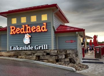
Redhead Lakeside Grill and Yacht Club
Savor American cuisine and refreshing drinks at Redhead Lakeside Grill with breathtaking views over Osage Beach.
-
American
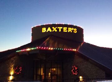
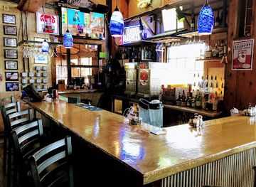
Baxter's Lakeside Grille
Experience exquisite American cuisine at Baxter's Lakeside Grille, where stunning lakeside views meet delicious flavors in Lake Ozark.
-
Cajun
Shorty Pants Lakeside Cajun Restaurant & Marina
Experience authentic Cajun cuisine and vibrant live music at Shorty Pants Lakeside Restaurant & Marina in beautiful Osage Beach.

Best bars in Osage Plains
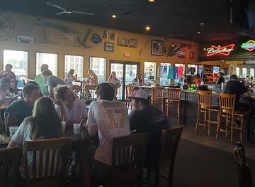
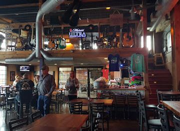
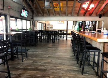
Evening life in the Osage Plains is concentrated in Sedalia, Warrensburg, Clinton and other county-seat communities, with traditional bars, restaurants, cafés, breweries and live-music settings more prominent than large nightclubs. Warrensburg’s university population creates a younger social scene around its established bars and casual venues, while Sedalia offers a broader mixture of historic drinking places, local entertainment and event-related activity. In smaller towns, evenings generally centre on community restaurants, taverns, seasonal festivals and occasional live performances rather than a formal nightlife district. Lakeside communities around Truman Lake can become busier during the boating and holiday season, although activity is dispersed along the shoreline. Opening arrangements and venue status change, so current local listings are useful. Alcohol is not necessary to experience the region’s evening culture; fairs, theatre, music, regional events and quiet meals are equally characteristic ways to spend a night.
-
Grill
Dog Days Bar and Grill
Discover the lively Dog Days Bar and Grill in Osage Beach, MO - a perfect spot for delicious food, refreshing drinks, and vibrant live music.
-
Cajun
Shorty Pants Lakeside Cajun Restaurant & Marina
Experience the vibrant flavors of Cajun cuisine at Shorty Pants Lakeside Cajun Restaurant & Marina, where delicious food meets stunning lakeside views.
-
Grill
Backwater Jacks
Explore the vibrant flavors of American cuisine at Backwater Jacks, where good food meets stunning lakeside views in Osage Beach.
-
Grill
Sam's Cellar Bar & Oven
Discover the delightful ambiance of Sam's Cellar Bar & Oven in Neosho, MO, where great food, drinks, and live music come together for an unforgettable experience.

Best nightclubs in Osage Plains
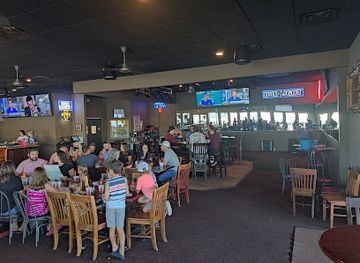
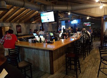
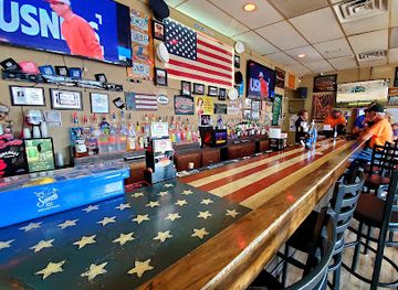
Evening life in the Osage Plains is concentrated in Sedalia, Warrensburg, Clinton and other county-seat communities, with traditional bars, restaurants, cafés, breweries and live-music settings more prominent than large nightclubs. Warrensburg’s university population creates a younger social scene around its established bars and casual venues, while Sedalia offers a broader mixture of historic drinking places, local entertainment and event-related activity. In smaller towns, evenings generally centre on community restaurants, taverns, seasonal festivals and occasional live performances rather than a formal nightlife district. Lakeside communities around Truman Lake can become busier during the boating and holiday season, although activity is dispersed along the shoreline. Opening arrangements and venue status change, so current local listings are useful. Alcohol is not necessary to experience the region’s evening culture; fairs, theatre, music, regional events and quiet meals are equally characteristic ways to spend a night.
-
Grill
Dog Days Bar and Grill
Discover the perfect blend of great food, refreshing drinks, and live music at Dog Days Bar and Grill in Osage Beach, Missouri.
-
Grill
Backwater Jacks
Discover the vibrant flavors of American cuisine at Backwater Jacks, a lakeside grill and bar in Osage Beach, Missouri.
-
Bar
S.N.A.F.U. BAR
Discover the vibrant atmosphere of S.N.A.F.U. Bar in Lake Ozark, where affordable drinks and lively events create unforgettable nights.
-
Adult entertainment club
Club GQ
Discover the ultimate adult entertainment experience at Club GQ, Lake Ozark's premier nightlife destination with stunning performances and vibrant energy.

Best shops in Osage Plains
Shopping in the Osage Plains is centred on practical town high streets, independent businesses, seasonal markets and locally produced food rather than large luxury districts. Sedalia has the region’s broadest selection of shops, galleries, antiques, books, clothing and event-related retail, while Warrensburg combines independent businesses with services shaped by its university community. Clinton and other county seats provide local shopping streets, cafés, craft outlets and everyday provisions. Farmers’ markets and roadside stands are worthwhile sources of seasonal fruit, vegetables, preserves, baked goods and other farm products, although locations and operating days vary through the year. Visitors may also find Missouri-themed gifts, handmade work, vintage goods and agricultural memorabilia at antique shops, community events and fairgrounds. Around Truman Lake, practical outdoor and boating supplies are more prominent than specialist souvenirs. Buying from independent shops and producers supports the small communities that give the region its character, but travellers should not expect every rural settlement to offer extensive retail or regular market facilities.
-
Department store
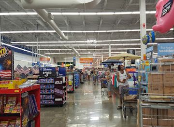
Walmart Supercenter
Discover unbeatable convenience and variety at Walmart Supercenter in Osage Beach, your ultimate shopping destination for all your travel needs.
-
Outlet mall
Osage Beach Outlet Marketplace
Discover unbeatable deals and a delightful shopping experience at Osage Beach Outlet Marketplace, the premier outlet mall in Missouri.
-
Department store
Kohl's
Explore Kohl's in Lake Ozark for a diverse shopping experience with budget-friendly prices and a wide array of products.
-
Department store
Marshalls & HomeGoods
Discover unbeatable deals on clothing, home decor, and more at Marshalls & HomeGoods in Osage Beach—a shopper's paradise!


Get your free copy of our complete guide to Osage Plains, delivered straight to you.
Everything on this page, from attractions and restaurants to essentials and local phrases, in one PDF you can read offline, print or share.
Already have an account? Sign in
Your Osage Plains guide is ready.
We'll send it to · Not you? Sign out

Getting your guide ready…
We are putting together a fresh copy of the Osage Plains guide. This can take up to a minute.
This can take a few moments. If your browser asks, choose Allow so the download can start. You'll find the guide in your Downloads folder.
Nothing happened? Download it again
Sorry, the guide is taking longer than usual. Please try again in a minute, or get it by email instead.
Osage Plains essentials
Currency and Payment
Safety
Emergency Situations
Do's and Don'ts
Local Tips
From Eve
Local phrases worth knowing
You don't need to get them perfect. A few words go a long way, and locals appreciate the effort.
Basics
| English | Local | Say it |
|---|---|---|
| Hello | Zhi | [Zhee] |
| Goodbye | Kah | [Kah] |
| Yes | Wah | [Wah] |
| No | Nuh | [Nuh] |
| Please/You're welcome | Taw | [Taw] |
| Thank you | Wíiyu | [Wee-yoo] |
| Excuse me/Sorry | Núshka | [Nush-kah] |
| How are you? | Né eéhi? | [Nay eh-hee?] |
| Fine. And you? | Né eéhi. Aheé? | [Nay eh-hee. Ah-hee?] |
| Do you speak English? | Eéhi ná? | [Eh-hee nah?] |
| I don't understand | Né a'úhi. | [Nay ah-oo-hee.] |
Eating & Drinking
| English | Local | Say it |
|---|---|---|
| I'd like to see the menu, please | Né bítu eéhi, taw. | [Nay bee-too eh-hee, taw.] |
| I don't eat meat | Né a'úhi íhka. | [Nay ah-oo-hee ee-kah.] |
| Cheers! | Né wíiyu! | [Nay wee-yoo!] |
| I would like to pay, please | Né wíiyu taw. | [Nay wee-yoo taw.] |
Emergencies
| English | Local | Say it |
|---|---|---|
| Help! | Né wíiyu! | [Nay wee-yoo!] |
| Go away! | Né ahu? | [Nay ah-hoo?] |
| Call the Police! | Né wíiyu áshka! | [Nay wee-yoo ahsh-kah!] |
| Call a doctor! | Né wíiyu áshka! | [Nay wee-yoo ahsh-kah!] |
| I'm lost | Né a'úhi. | [Nay ah-oo-hee.] |
| I'm ill | Né a'úhi. | [Nay ah-oo-hee.] |
Shopping
| English | Local | Say it |
|---|---|---|
| I'd like to buy... | Né bítu ... | [Nay bee-too ...] |
| I'm just looking | Né a'úhi íhka. | [Nay ah-oo-hee ee-kah.] |
| How much is it? | Né eéhi núh? | [Nay eh-hee nuh?] |
| That's too expensive | Né a'úhi wíiyu. | [Nay ah-oo-hee wee-yoo.] |
| Can you lower the price? | Né a'úhi kátá? | [Nay ah-oo-hee kah-tah?] |
Time & Numbers
| English | Local | Say it |
|---|---|---|
| What time is it? | Né eéhi núh? | [Nay eh-hee nuh?] |
| It's one o'clock | Né eéhi wíiyu. | [Nay eh-hee wee-yoo.] |
| Half past (10) | Né eéhi núh wíiyu. | [Nay eh-hee nuh wee-yoo.] |
| Morning | Né a'úhi. | [Nay ah-oo-hee.] |
| Afternoon | Né wíiyu. | [Nay wee-yoo.] |
| Evening | Né wíiyu. | [Nay wee-yoo.] |
| Yesterday | Né a'úhi. | [Nay ah-oo-hee.] |
| Today | Né wíiyu. | [Nay wee-yoo.] |
| Tomorrow | Né wíiyu. | [Nay wee-yoo.] |
| 1 | Wíiyu | [Wee-yoo] |
| 2 | Nuh | [Nuh] |
| 3 | Té | [Tay] |
| 4 | Né | [Nay] |
| 5 | Wíiyu | [Wee-yoo] |
| 6 | Nuh | [Nuh] |
| 7 | Té | [Tay] |
| 8 | Né | [Nay] |
| 9 | Wíiyu | [Wee-yoo] |
| 10 | Nuh | [Nuh] |
Transport & Directions
| English | Local | Say it |
|---|---|---|
| Where's a/the...? | Né eéhi ...? | [Nay eh-hee ...?] |
| What's the address? | Né eéhi núh? | [Nay eh-hee nuh?] |
| Can you show me (on the map)? | Né eéhi ná? | [Nay eh-hee nah?] |
| When's the next (bus)? | Né eéhi núh? | [Nay eh-hee nuh?] |
| A ticket (to ....) | Né wíiyu ... | [Nay wee-yoo ...] |
History of Osage Plains
Osage Country and Indigenous Landscapes
Before American settlement, much of the Osage Plains formed part of the homeland and hunting territory of the Osage people, whose influence extended across large areas of present-day Missouri, Kansas and Oklahoma. The prairie was not an empty wilderness: it was managed, travelled and understood through seasonal movement, hunting and trade. Place names, including the name of the plains themselves and the Osage River, preserve part of this history. Visitors should view the later agricultural landscape in the context of the profound displacement of Indigenous communities during nineteenth-century American expansion.
American Settlement and the Prairie Frontier
Following the Louisiana Purchase and the gradual extension of United States administration westward, settlers entered the open country in increasing numbers during the nineteenth century. Farms, small trading settlements and county seats developed around watercourses and transport routes. The prairie offered productive agricultural land, but settlement also brought the rapid removal of Indigenous peoples and the transformation of grassland into fenced fields. Many present-day roads, town sites and rural patterns reflect this formative period of land division and migration.
Railways and the Rise of Sedalia
Railway construction fundamentally changed the Osage Plains during the nineteenth century. Sedalia grew from a small settlement into an important transport and commercial centre as rail lines connected west-central Missouri with St Louis, Kansas City and destinations farther west. Railways carried livestock, grain, timber and manufactured goods while bringing migrants and investment to the region. Warrensburg and other towns also benefited from improved connections, and the surviving railway corridors, depots and historic commercial buildings remain among the clearest reminders of this economic transformation.
Agriculture, Town Building and County Institutions
As rail access expanded, agriculture became the central economic force across the Osage Plains. Farmsteads, livestock operations, grain businesses and local service towns developed around the needs of rural communities. County courthouses, schools, churches and brick commercial streets gave towns their civic structure, while fairs and livestock events provided important meeting places. Sedalia’s fair tradition became especially prominent, linking agricultural production with regional commerce and public celebration. Much of the region’s historic character still lies in these practical institutions rather than in monumental architecture.
Civil War Borderland
West-central Missouri was affected by the violence and political uncertainty of the American Civil War. Missouri was a slave state with divided loyalties, and the neighbouring border between the Union and Confederate states made western communities strategically sensitive. Troop movements, irregular warfare, contested political authority and disruption to transport affected towns and farms across the broader region. Although some of the best-known battles associated with Missouri occurred elsewhere, the Osage Plains experienced the wider conflict through occupation, military patrols, disrupted trade and local divisions that continued after the war.
Twentieth-Century Modernisation and Conservation
During the twentieth century, improved roads, mechanised farming and changing patterns of retail and employment reduced the centrality of railways and reshaped many small towns. Sedalia and Warrensburg retained stronger institutional and commercial roles, while rural districts remained closely connected to agriculture. Conservation efforts later protected examples of prairie, woodland and river habitat in places such as Knob Noster State Park, and the conversion of former railway corridors into recreational routes created a new use for historic infrastructure. Reservoir development also added boating and fishing to the region’s established rural attractions.
Osage Plains in Photos
Browse through our photo collection highlighting the charm and character of the destination.
Neighbouring regions of Osage Plains
The closest regions to Osage Plains, if you have time for more than one.
-

-

-
 White River Basin
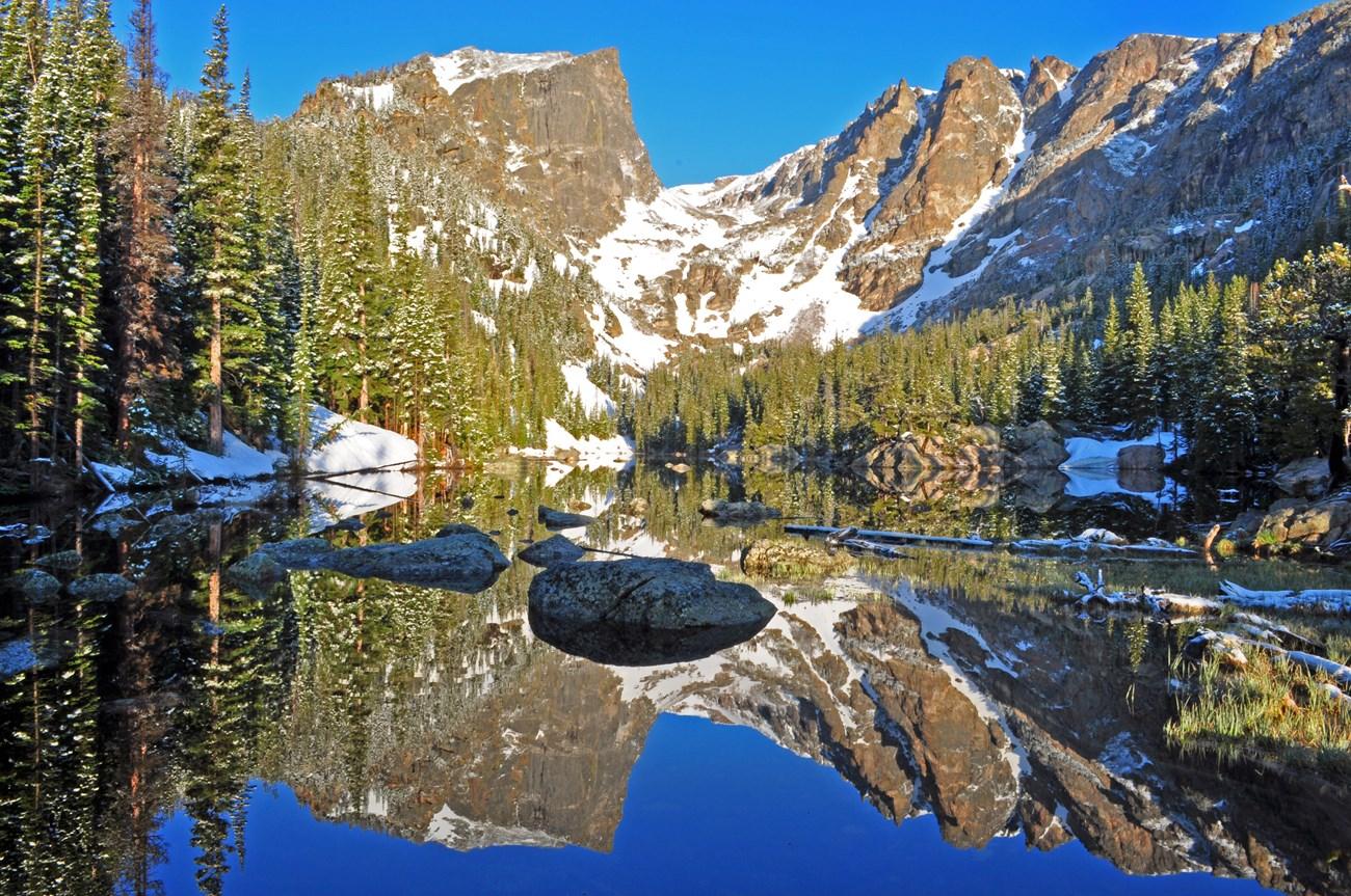
Explore Missouri’s White River Basin for Ozark landscapes, Table Rock Lake boating, trout fishing, caves, Branson shows and Springfield culture.
-

-


Swipe for more regions
Explore more

Explore more of Missouri
Experience the diverse landscapes, rich history, and vibrant culture of Missouri, the heart of America, offering everything from bustling cities to serene natural escapes.
Explore Missouri