
Needles Highway: A Scenic Marvel of South Dakota
Needles Highway, part of the Peter Norbeck Scenic Byway, is a must-see for any visitor to South Dakota. This 14-mile stretch of road winds through the Black Hills and offers stunning views of granite spires, lush forests, and clear blue skies. The highway gets its name from the needle-like granite formations that pierce the sky along the route. These natural sculptures have been shaped over millions of years by wind and water. As you drive, you will encounter narrow tunnels carved through the rock, adding a sense of adventure to your journey. The most famous of these is the Needles Eye Tunnel, which is just 8 feet 4 inches wide. Apart from the breathtaking scenery, the highway is home to a variety of wildlife. You might spot bison, mountain goats, and deer as you navigate the winding roads. There are several pull-off points where you can stop, take pictures, and soak in the natural beauty. Hiking trails are also available for those who wish to explore the area on foot. Whether you're a nature lover, a photography enthusiast, or simply looking for a peaceful drive, Needles Highway offers an unforgettable experience. The best time to visit is during late spring to early fall when the weather is mild and the landscape is lush and green.
Local tips in Needles Highway
- Visit early in the morning or late in the afternoon to avoid crowds.
- Check your vehicle size before going; some tunnels are very narrow.
- Carry a map; cell service can be unreliable in this remote area.
- Pack snacks and water, as there are limited facilities along the route.
- Wear comfortable shoes if you plan to hike the trails.
Needles Highway: A Scenic Marvel of South Dakota
Needles Highway, part of the Peter Norbeck Scenic Byway, is a must-see for any visitor to South Dakota. This 14-mile stretch of road winds through the Black Hills and offers stunning views of granite spires, lush forests, and clear blue skies. The highway gets its name from the needle-like granite formations that pierce the sky along the route. These natural sculptures have been shaped over millions of years by wind and water. As you drive, you will encounter narrow tunnels carved through the rock, adding a sense of adventure to your journey. The most famous of these is the Needles Eye Tunnel, which is just 8 feet 4 inches wide. Apart from the breathtaking scenery, the highway is home to a variety of wildlife. You might spot bison, mountain goats, and deer as you navigate the winding roads. There are several pull-off points where you can stop, take pictures, and soak in the natural beauty. Hiking trails are also available for those who wish to explore the area on foot. Whether you're a nature lover, a photography enthusiast, or simply looking for a peaceful drive, Needles Highway offers an unforgettable experience. The best time to visit is during late spring to early fall when the weather is mild and the landscape is lush and green.
When is the best time to go to Needles Highway?
Iconic landmarks you can’t miss
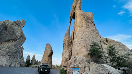
Needles Eye Tunnel
Discover the breathtaking Needles Eye Tunnel in Custer State Park, a stunning natural rock formation that offers incredible views and a unique driving experience.
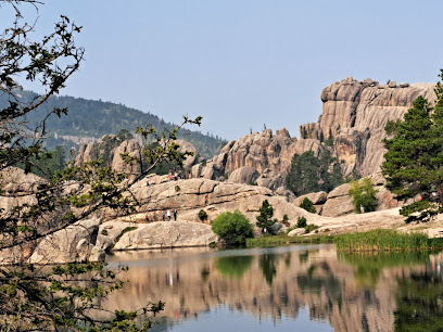
Welcome to Custer State Park Sign
Explore Custer State Park: A natural wonderland in South Dakota with breathtaking landscapes, diverse wildlife, and endless outdoor adventures.
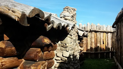
Gordon Stockade Historical Landmark
Explore the rich history of the Wild West at Gordon Stockade Historical Landmark, a captivating blend of adventure and education in South Dakota.
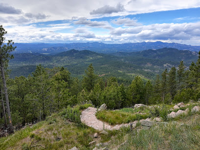
Custer State Park Mt Coolidge
Explore the stunning landscapes and wildlife of Custer State Park Mt Coolidge, a must-visit destination for outdoor enthusiasts in South Dakota.
Unmissable attractions to see
Mount Rushmore National Memorial
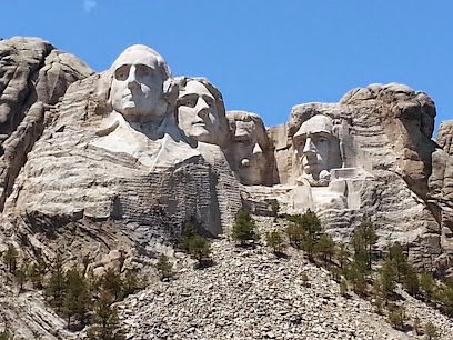
Discover the grandeur of Mount Rushmore National Memorial, a breathtaking tribute to American leadership carved in stunning granite amidst the Black Hills.
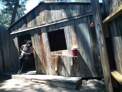
Cosmos Mystery Area
Explore the Cosmos Mystery Area in South Dakota, where reality bends and optical illusions amaze visitors of all ages.
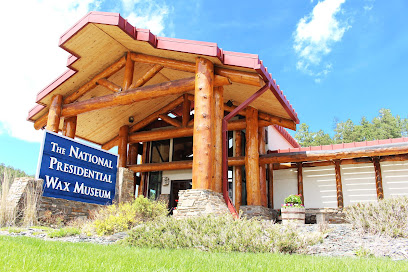
The National Presidential Wax Museum
Discover the lifelike wax figures of U.S. presidents and dive into American history at The National Presidential Wax Museum in Keystone, South Dakota.
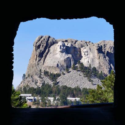
Doane Robinson Tunnel (Tunnel view of Mount Rushmore)
Experience the breathtaking views of Mount Rushmore from the Doane Robinson Tunnel in Keystone, South Dakota, a must-visit historical landmark.
Black Elk Peak
Discover the breathtaking views and rich history at Black Elk Peak, the highest point in South Dakota, nestled in the stunning Black Hills.
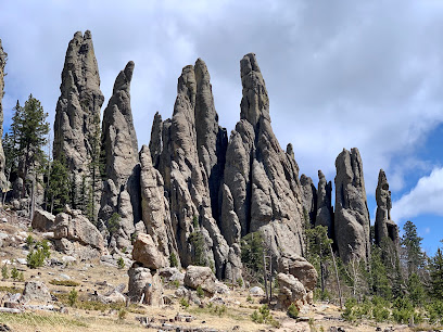
CC Gideon Tunnel
Discover the historic CC Gideon Tunnel, a scenic highlight in Keystone, South Dakota, offering breathtaking views and a glimpse into the region's rich heritage.
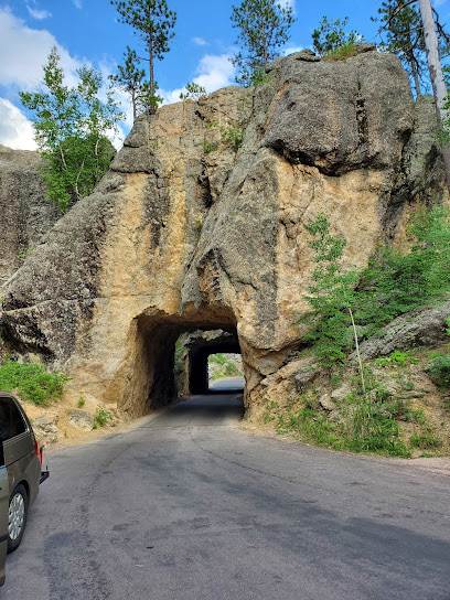
Four Mile Old West Town Museum
Explore the Old West at Four Mile Old West Town Museum, a captivating journey through history in scenic Custer, South Dakota.
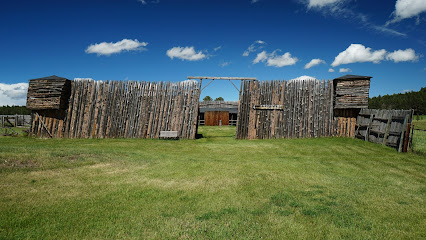
Black Hills Playhouse
Experience captivating performances in the heart of the Black Hills at the renowned Black Hills Playhouse, South Dakota's cultural gem.
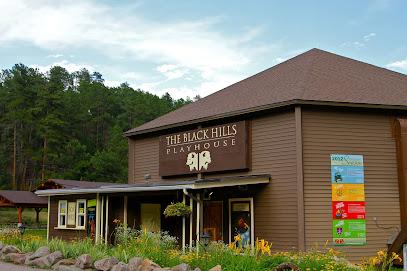
Breezy Point Picnic Area
Discover the tranquility of Breezy Point Picnic Area in Keystone, South Dakota—a perfect retreat for picnics and nature exploration.
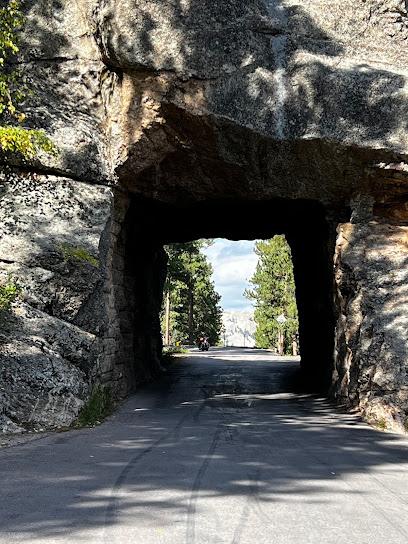
Scovel Johnson Tunnel
Explore the Scovel Johnson Tunnel in Keystone, SD – a captivating blend of natural beauty and historical significance awaits you.
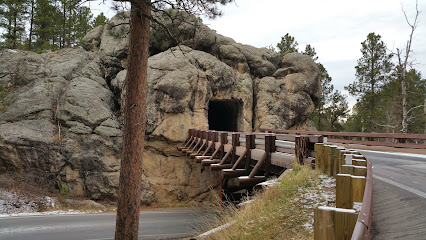
Iron Mountain Picnic Area
Explore the Iron Mountain Picnic Area: A tranquil retreat in the Black Hills, perfect for picnics, nature walks, and breathtaking views.
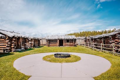
Gordon Stockade Historical Landmark
Discover the rich history of the Old West at Gordon Stockade Historical Landmark in Custer State Park, a captivating blend of history and natural beauty.
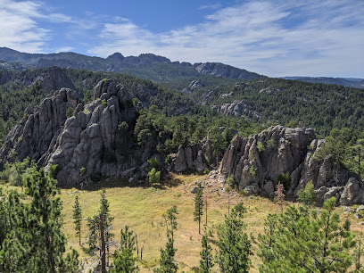
Needles Scenic View
Experience breathtaking views and stunning landscapes at Needles Scenic View in Custer, South Dakota, a true highlight of the Black Hills region.
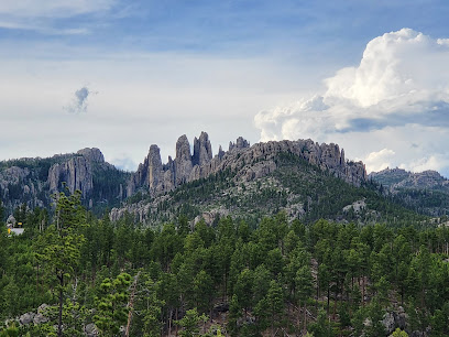
Big Rock Park
Explore the stunning rock formations and serene landscapes of Big Rock Park in Custer, South Dakota – a nature lover's paradise.
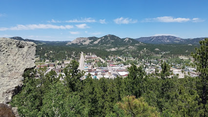
Custer State Park - Norbeck Wildlife Preserve
Explore the breathtaking landscapes and diverse wildlife of Custer State Park - Norbeck Wildlife Preserve, a captivating destination for all nature lovers.
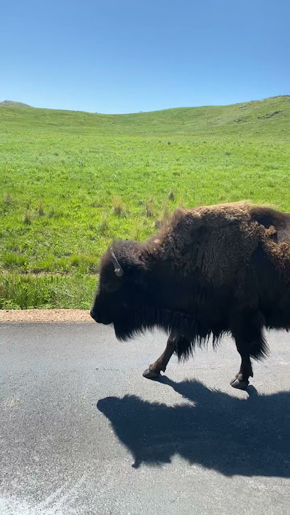
Essential places to dine
Black Hills Sauce & Dough
Discover delicious burgers and local flavors at Black Hills Sauce & Dough in Custer, SD – a must-visit for food lovers exploring the Black Hills.
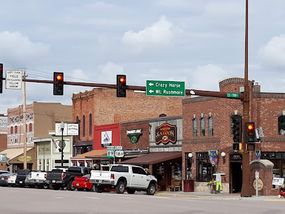
Dairy Queen Grill & Chill
Experience the ultimate comfort food at Dairy Queen Grill & Chill in Hot Springs - where delicious fast food meets delightful ice cream treats.
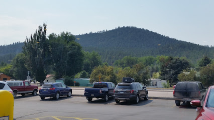
Pizza Hut
Experience delicious pizza and chicken wings at Pizza Hut in Custer - perfect for families and adventurers alike.
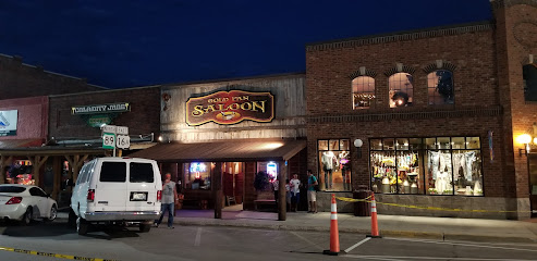
Juniper at Vertex
Discover exquisite cuisine at Juniper at Vertex in Rapid City—where fine dining meets local flavors and exceptional service.
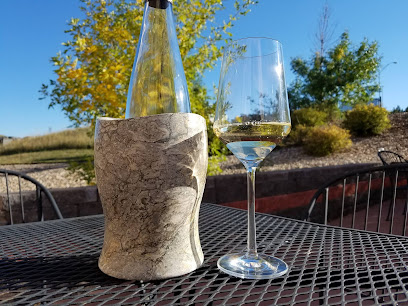
Godfather's Pizza
Experience mouth-watering pizzas and authentic Italian cuisine at Godfather's Pizza in Black Hawk – perfect for families and food lovers alike!
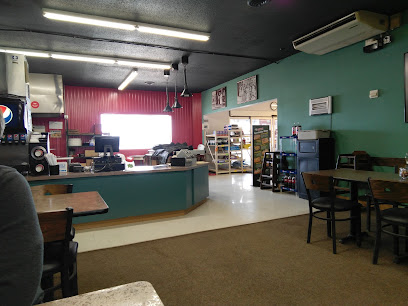
Subway
Discover fresh and customizable meals at Subway in Hill City – the perfect pit stop during your Black Hills adventure!
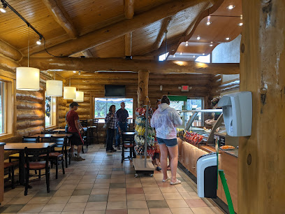
Markets, malls and hidden boutiques
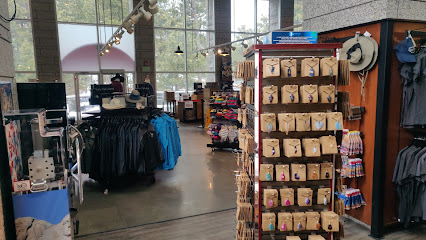
Mount Rushmore Gift Shop
Shop unique souvenirs at Mount Rushmore Gift Shop, where local crafts meet iconic American history.
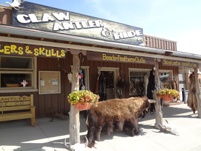
Claw Antler & Hide Co
Explore Claw Antler & Hide Co in Custer, SD - your destination for authentic Native American crafts and unique collectibles.
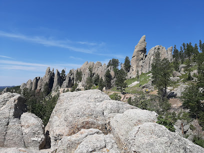
Needles Highway
Journey through the breathtaking Needles Highway in South Dakota, where granite spires and lush forests create a scenic masterpiece.
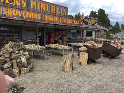
Ken's Minerals & Trading Post
Explore Ken's Minerals & Trading Post in Custer, SD for an unforgettable journey through the beauty of rocks and minerals, perfect for nature lovers and collectors.
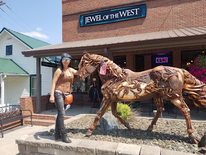
Jewel of the West
Explore Jewel of the West in Hill City, SD for unique gifts, Native American crafts, and stylish apparel, perfect for every traveler.
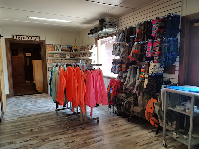
Sylvan Lake General Store & Eatery
Explore the charm of Sylvan Lake General Store & Eatery, your perfect stop for snacks, gear, and meals in the stunning Black Hills.
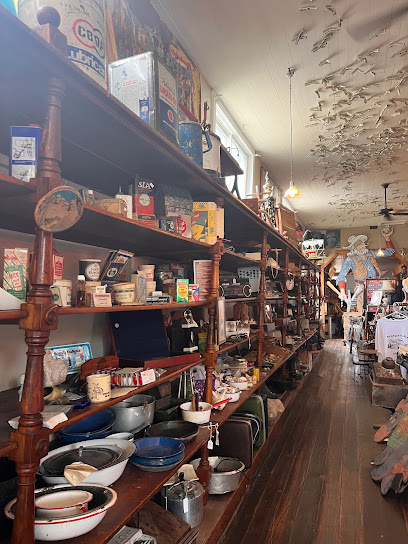
Halleys Store
Explore Halleys Store in Keystone, SD, and uncover a treasure trove of antiques, vintage finds, and unique collectibles in a cozy atmosphere.
Wild Spruce Market
Explore Wild Spruce Market in Custer, SD – your go-to destination for organic groceries, local crafts, and a cozy café experience.
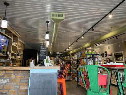
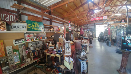
Boyds Antiques
Explore Boyds Antiques in Custer, SD - a vintage haven filled with unique treasures waiting to be discovered.
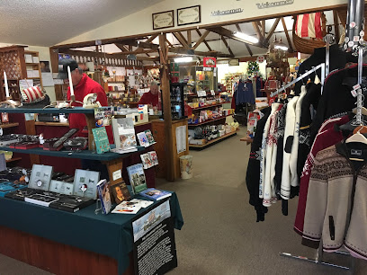
House of Scandinavia
Explore the House of Scandinavia in Rapid City for unique gifts and authentic Scandinavian treasures that capture the spirit of Nordic culture.
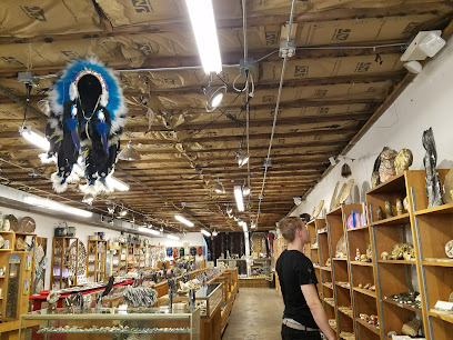
Rock Shop
Discover the enchanting world of rocks and minerals at the Rock Shop in Custer, South Dakota, a must-visit for geology lovers and curious travelers.
The Farmer's Daughter
Explore The Farmer's Daughter in Hill City, SD - a charming gift shop specializing in unique fabrics, exquisite quilts, and local craftsmanship.
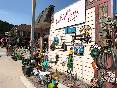
The Handbag Store
Explore exquisite handbags at The Handbag Store in Hill City, SD, where fashion meets individuality in a charming boutique environment.
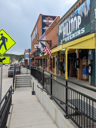
A Walk In the Woods Gallery & Gifts
Discover unique gifts, clothing, and furniture at A Walk In the Woods Gallery & Gifts in Custer, South Dakota, a haven for art and craftsmanship.
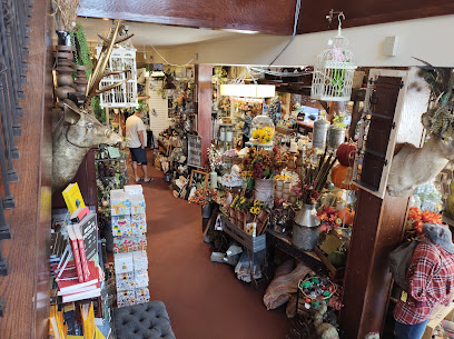
Miss kitty's Mercantile
Explore Miss Kitty's Mercantile, a charming shopping destination in Deadwood, SD, offering unique local crafts and vintage treasures.
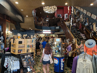
Essential bars & hidden hideouts
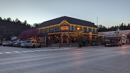
Alpine Inn
Experience the warm hospitality and delightful cuisine of Alpine Inn in Hill City, a perfect retreat for tourists exploring the Black Hills.
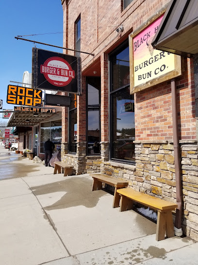
Black Hills Sauce & Dough
Experience the unique flavors of gourmet pizzas featuring beef and bison at Black Hills Sauce & Dough in Custer, South Dakota.
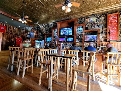
Buglin' Bull Restaurant and Sports Bar
Experience the taste of America at Buglin' Bull Restaurant and Sports Bar, where family-friendly dining meets sports excitement in Custer, SD.
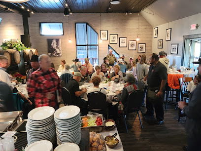
Powder House
Savor the best steaks and local flavors at Powder House, a unique dining gem in the heart of Keystone, South Dakota.

Mt. Rushmore Brewing Company & Pounding Fathers Restaurant
Experience local craft beers and delightful dishes at Mt. Rushmore Brewing Company & Pounding Fathers Restaurant in the scenic Black Hills of South Dakota.
The Custer Wolf - Food & Drink
Experience the flavors of America at The Custer Wolf, a local favorite in Custer, South Dakota, offering delicious dishes in a warm, inviting atmosphere.
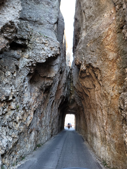
Needles Eye Tunnel
Explore the breathtaking Needles Eye Tunnel, a stunning natural landmark in South Dakota's Black Hills, perfect for photography and outdoor adventures.
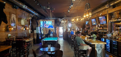
Bumpin Buffalo Bar and Grill
Discover Hill City's culinary gem, Bumpin Buffalo Bar and Grill, where delicious grill dishes meet a family-friendly atmosphere and a fine selection of wines.
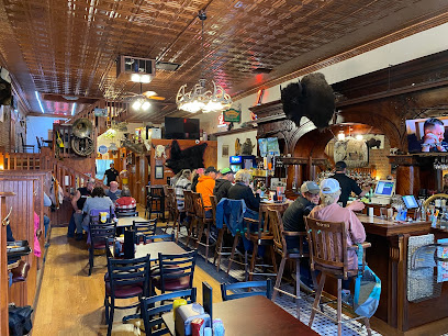
Chute Rooster
Experience the flavors of the Wild West at Chute Rooster, Hill City's cherished restaurant offering delicious food and drinks in a rustic atmosphere.
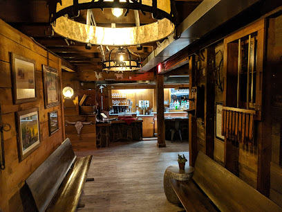
Sage Creek Grille - Now Open!
Experience the essence of American cuisine in Custer, South Dakota at Sage Creek Grille, where great food meets a warm atmosphere.
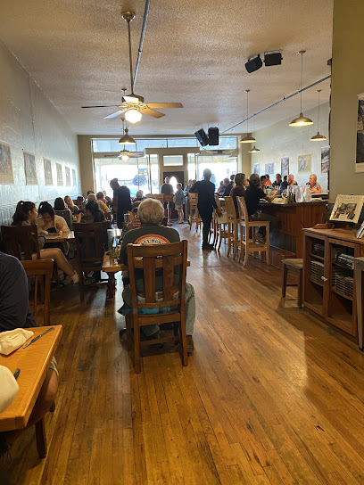
Red Garter Saloon
Experience the vibrant atmosphere and delicious offerings at Red Garter Saloon, a must-visit bar and grill in Keystone, South Dakota.
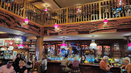
The Front Porch Restaurant and Bar
Discover The Front Porch Restaurant and Bar in Keystone, SD—a welcoming spot for delicious food and local flavors in a charming setting.
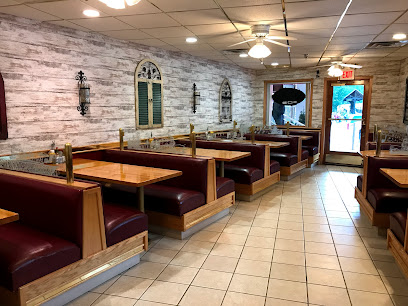
The Custer Beacon
Experience The Custer Beacon, your go-to bar and live music venue in Custer, SD, for unique food, refreshing drinks, and unforgettable entertainment.
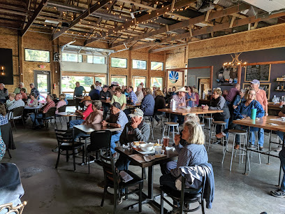
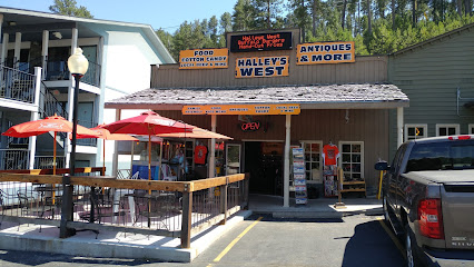
Halleys West
Experience the best of South Dakota's grill cuisine at Halleys West in Keystone, where every meal is a celebration of flavor and hospitality.
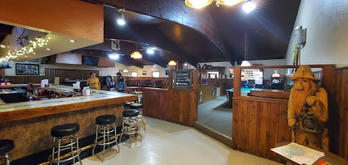
The Frontier Bar & Grill
Experience the heart of American dining at The Frontier Bar & Grill in Custer, SD, featuring a lively atmosphere and delicious comfort food.
Local Phrases about Needles Highway
-
- HelloHowdy
[haw-dee] - GoodbyeSee ya later
[see yah lay-ter] - YesYep
[yep] - NoNah
[nah] - Please/You're welcomePlease and thank you
[pleez and thank yah] - Thank youMuch obliged
[muhch uh-blahy-jed] - Excuse me/SorryPardon me
[pahr-dn me] - How are you?Howdy
[haw-dee] - Fine. And you?Fine. How 'bout you?
[fahyn. how 'bout yah] - Do you speak English?Ya speak English?
[yah speak ing-glish] - I don't understandI ain't catchin' on
[I aint ketch-in on]
- HelloHowdy
-
- I'd like to see the menu, pleaseCan I take a gander at the menu, please
[kan I take uh gan-der at the menu, pleez] - I don't eat meatI don't eat critters
[I don't eat crit-ters] - Cheers!Bottoms up!
[bot-uhms up] - I would like to pay, pleaseI reckon I'll settle up now
[I rek-uhn ayl set-tl up now]
- I'd like to see the menu, pleaseCan I take a gander at the menu, please
-
- Help!Send aid!
[send eyd] - Go away!Git!
[git] - Call the Police!Get the law!
[get the law] - Call a doctor!Fetch a sawbones!
[fetch uh saw-bohnz] - I'm lostI'm turned around
[I'm turned uh-round] - I'm illI ain't feelin' right
[I aint feel-in rahyt]
- Help!Send aid!
-
- I'd like to buy...I reckon I'll take...
[I rek-uhn ayl take...] - I'm just lookingJust browsin'
[just brow-zin] - How much is it?What's the damage?
[whats the dam-ij] - That's too expensiveThat's a mite pricey
[thats uh myt pry-see] - Can you lower the price?Can you do better on the price?
[kan yah do bet-ter on the pryce]
- I'd like to buy...I reckon I'll take...
-
- What time is it?What's the time o' day?
[whats the tym o' day] - It's one o'clockIt's one bells
[its one belz] - Half past (10)Ten-thirty
[ten-thur-tee] - MorningMornin'
[morn-in] - AfternoonAfternoon
[af-ter-noon] - EveningEvenin'
[even-in] - YesterdayYest'day
[yes-t-day] - TodayToday
[toh-day] - TomorrowT'morrow
[tuh-mor-oh] - 1One
[wun] - 2Two
[too] - 3Three
[three] - 4Four
[for] - 5Five
[fahyv] - 6Six
[siks] - 7Seven
[sev-uhn] - 8Eight
[ayt] - 9Nine
[nahyn] - 10Ten
[ten]
- What time is it?What's the time o' day?
-
- Where's a/the...?Where's the...
[wheres the] - What's the address?What's the house number?
[whats the house numb-er] - Can you show me (on the map)?Can you point it out (on the map)?
[kan yah point it out (on the map)] - When's the next (bus)?When's the next coach?
[whens the next coach] - A ticket (to ....)A pass (to ....)
[a pass (to)]
- Where's a/the...?Where's the...
History of Needles Highway
-
Needles Highway is a testament to the vision of South Dakota Governor Peter Norbeck. In the early 1920s, Norbeck, who was deeply passionate about nature and scenic routes, envisioned a road that would showcase the rugged beauty of the Black Hills. Despite skepticism from engineers who believed the terrain was too harsh for road construction, Norbeck persisted. His determination led to the creation of one of the most picturesque highways in the United States.
-
Construction of Needles Highway began in 1922 and was completed in 1926. The project was a monumental engineering feat, involving the carving of tunnels through granite spires and the creation of winding roads with sharp turns and narrow paths. The highway stretches approximately 14 miles and required the use of manual labor, dynamite, and innovative engineering techniques to navigate the challenging landscape.
-
One of the most iconic features of Needles Highway is the Needles Eye Tunnel. This narrow tunnel, only 8 feet 4 inches wide, was carved through a towering granite spire. The tunnel gets its name from its resemblance to the eye of a needle, and it provides a thrilling experience for drivers navigating through the tight space. The Needles Eye Tunnel is a testament to the ingenuity and perseverance of the workers who built the highway.
-
The Black Hills, through which Needles Highway runs, hold deep cultural and spiritual significance for Native American tribes, particularly the Lakota Sioux. The area is considered sacred land, and the granite spires and rock formations are seen as important spiritual symbols. The construction of the highway has been a point of contention, as it runs through lands that are integral to the cultural heritage and traditions of the Native American communities.
-
Since its completion, Needles Highway has become a major tourist attraction, drawing visitors from around the world. The scenic beauty and unique geological formations along the highway have made it a popular destination for sightseeing, hiking, and photography. The influx of tourists has significantly contributed to the local economy, providing jobs and supporting businesses in the surrounding areas, including Custer State Park.
-
Needles Highway is not only a marvel of engineering but also a corridor of natural beauty. The highway traverses diverse ecosystems, home to a variety of flora and fauna. Visitors can expect to see ponderosa pines, birch trees, and a host of wildflowers. Wildlife sightings are common, with bison, mountain goats, and deer frequently seen along the route. This rich biodiversity adds to the allure of the highway for nature enthusiasts and photographers.
-
Over the years, there have been various efforts to preserve the natural beauty and ecological integrity of Needles Highway. Environmentalists and conservationists have worked alongside local authorities to ensure that the highway's impact on the surrounding landscape is minimized. Measures have been put in place to protect wildlife, reduce erosion, and maintain the pristine condition of the area. These efforts are crucial in balancing tourism with conservation.
Needles Highway Essentials
-
Needles Highway is located in the Black Hills of South Dakota. The nearest major airport is Rapid City Regional Airport, approximately 50 miles to the northeast. From Rapid City, you can rent a car or take a shuttle service to Custer State Park, where the Needles Highway is situated. The drive from Rapid City to Needles Highway typically takes around an hour and offers scenic views of the Black Hills.
-
The best way to explore Needles Highway is by car. The highway itself is a 14-mile stretch of winding roads, tunnels, and scenic overlooks, making it ideal for a leisurely drive. There are several pull-off areas where you can park and take short hikes to explore the natural beauty up close. While there are no public transport options directly on Needles Highway, nearby towns such as Custer and Hill City offer taxi and shuttle services.
-
The official currency in the United States is the US Dollar (USD). Credit and debit cards are widely accepted at most attractions, restaurants, and gas stations along Needles Highway and in nearby towns. However, it's advisable to carry some cash for smaller establishments or in case of emergencies. ATMs are available in Custer and other nearby towns.
-
Needles Highway is generally a safe destination for tourists. However, due to the winding and narrow nature of the road, it's important to drive carefully and obey speed limits. Wildlife such as deer and mountain goats are commonly seen and can sometimes cross the road unexpectedly. There are no specific high-crime areas targeting tourists, but always keep an eye on your belongings and avoid leaving valuables in your car when parked.
-
In case of an emergency, dial 911 for immediate assistance. The nearest medical facilities are available in Custer, which is about 15 minutes from Needles Highway. It's recommended to have travel insurance that covers medical emergencies. For minor health issues, there are pharmacies in Custer and other nearby towns.
-
Fashion: Do wear comfortable clothing and sturdy shoes, especially if you plan to hike. Avoid flip-flops or high heels. Religion: Do respect local customs and traditions when visiting nearby landmarks or historic sites. Public Transport: Do be aware that there are no public transport options on Needles Highway. Plan your travel accordingly. Greetings: Do greet locals with a friendly smile or a wave. South Dakotans are generally friendly and welcoming. Eating & Drinking: Do take advantage of picnic areas along the route. Don't litter; always dispose of trash in designated bins.
-
For an authentic experience, visit during the shoulder seasons of late spring or early fall when the weather is pleasant and the crowds are smaller. Make sure to bring a camera to capture the stunning rock formations and panoramic views. If you're an early riser, try to start your journey at sunrise to see the Needles illuminated by the morning light. Lastly, don't miss the nearby Custer State Park, which offers additional hiking trails, wildlife viewing, and camping options.
Nearby Cities to Needles Highway
-
Things To Do in Custer
-
Things To Do in Rapid City
-
Things To Do in Deadwood
-
Things To Do in Gillette
-
Things To Do in Pierre
-
Things To Do in Sheridan
-
Things To Do in Cheyenne
-
Things To Do in Laramie
-
Things To Do in Dickinson
-
Things To Do in Sterling
-
Things To Do in North Platte
-
Things To Do in Fort Collins
-
Things To Do in Mandan
-
Things To Do in Bismarck
-
Things To Do in Riverton


