From Eve
Know before you go
Hi, I'm Eve. Here are a few practical things to know before exploring Gombaniya ගොම්බානිය (1906m).
Local know-how to help you travel smarter and make the most of every moment.

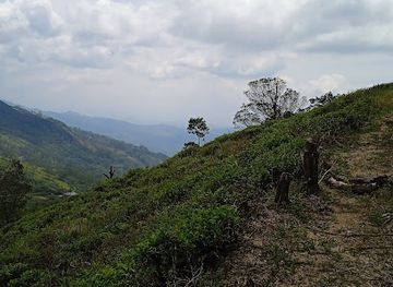
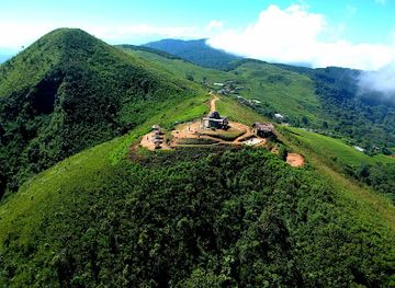
Experience breathtaking views and exhilarating hikes at Gombaniya, a highlight of the Knuckles Mountain Range in Sri Lanka.
Nestled in the stunning Knuckles Mountain Range, Gombaniya offers breathtaking views and an exhilarating hiking experience. At 1906 meters above sea level, it is a must-visit for nature lovers and adventure seekers alike.
Opening times, essentials, and a few local tips gathered into one calmer, easier-to-scan planning section.
Hi, I'm Eve. Here are a few practical things to know before exploring Gombaniya ගොම්බානිය (1906m).
Local know-how to help you travel smarter and make the most of every moment.
Car
If you are starting from Kandy, drive towards Matale on the A9 highway. Once in Matale, follow the signs to the Knuckles Mountain Range. You will need to take the road towards the town of Hunnasgiriya. After approximately 20 kilometers, you will reach Hunnasgiriya. From here, continue on the B10 road towards the Knuckles range. Keep an eye out for the sign indicating the trailhead to Gombaniya. Park your vehicle at the designated area, and prepare for a hike.
Public Transportation
From Kandy, take a bus heading to Matale. Buses run frequently and the journey takes about 45 minutes. Once you arrive in Matale, you can catch a local bus to Hunnasgiriya. The bus ride will take around 30 minutes. Ask the conductor to drop you off at the stop for the Knuckles Mountain Range entrance. From there, you will need to walk or hire a tuk-tuk to the trailhead. Ensure to negotiate the fare for the tuk-tuk beforehand. The final hike to Gombaniya will take approximately 2-3 hours depending on your pace.
Hiking
Once you have reached the trailhead after your car ride or public transport, begin your hike towards Gombaniya. The trail is well-marked but can be challenging due to the steep inclines. Carry sufficient water and snacks, as there are no facilities along the way. The hike to the summit can take around 2-3 hours. Make sure to wear appropriate hiking shoes and be prepared for varying weather conditions.
Use Tower Bridge as your starting point for nearby food, family ideas, nightlife, and more local discoveries.

Explore expert travel guides, compare and book tours, experiences, hotels, and more—all from the palm of your hand. Download now for seamless trip planning wherever your wanderlust takes you.
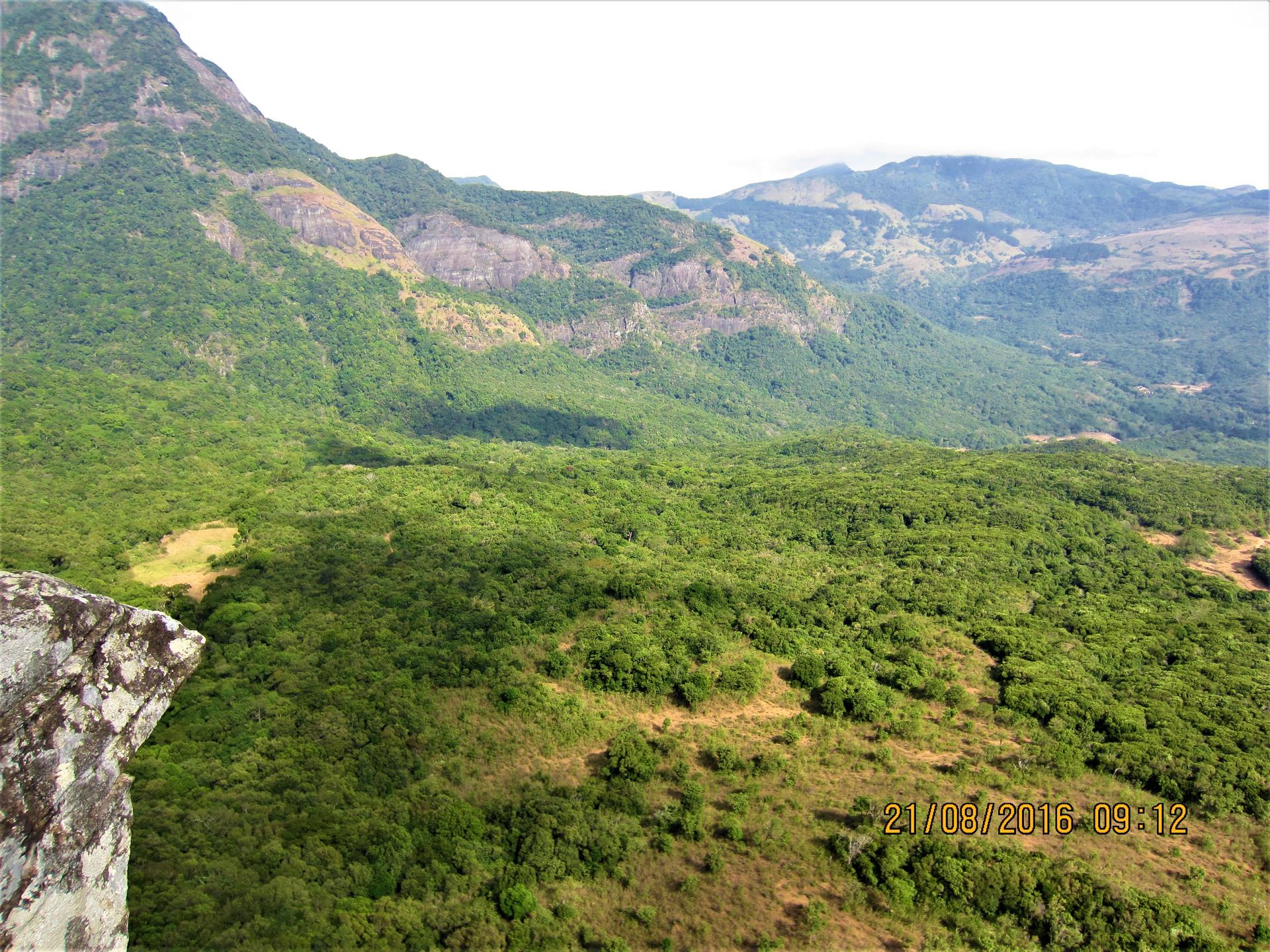
Explore the Knuckles Mountain Range in Sri Lanka: A UNESCO World Heritage site teeming with biodiversity, hiking trails, and rich cultural heritage.
Tell me more about Knuckles Mountain Range