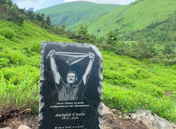
Pam'yatnyy Znak, Shcho Symvolizuye Ukrayinsʹku Derzhavnistʹ.
The Symbol of Ukrainian Statehood: Pam'yatnyy Znak
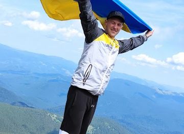
Explore the breathtaking views and exhilarating trails of Hoverla, the highest peak in Ukraine, nestled in the stunning Carpathian Mountains.
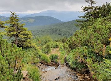
Hoverla, the highest mountain in Ukraine, offers breathtaking views and exhilarating hikes for adventurous travelers. Nestled in the picturesque Carpathian Mountains, this iconic peak is a must-visit for nature enthusiasts and outdoor lovers alike.
Opening times, essentials, and a few local tips gathered into one calmer, easier-to-scan planning section.
Car
If you are driving to Hoverla, start your journey from the nearest major city, Ivano-Frankivsk. Take the E50 road heading west toward the town of Yaremche. Once you reach Yaremche, follow the signs to the Carpathian National Park and take the route to the village of Vorokhta. The road is well-maintained but can be winding, so drive cautiously. From Vorokhta, continue to the village of Mikulichin. You will find parking areas near the trailhead. Parking may incur a small fee, so keep some cash on hand.
Public Transportation
To reach Hoverla by public transport, take a train or bus from Ivano-Frankivsk to Yaremche. Trains run frequently, and the journey takes about 1.5 hours. From Yaremche, you can catch a local minibus (marshrutka) to Vorokhta. The marshrutka ride will take around 30 minutes. Once in Vorokhta, you can either walk to the trailhead or look for local taxis that can take you there. Expect to pay around 50-100 UAH for the taxi ride depending on your negotiation skills.
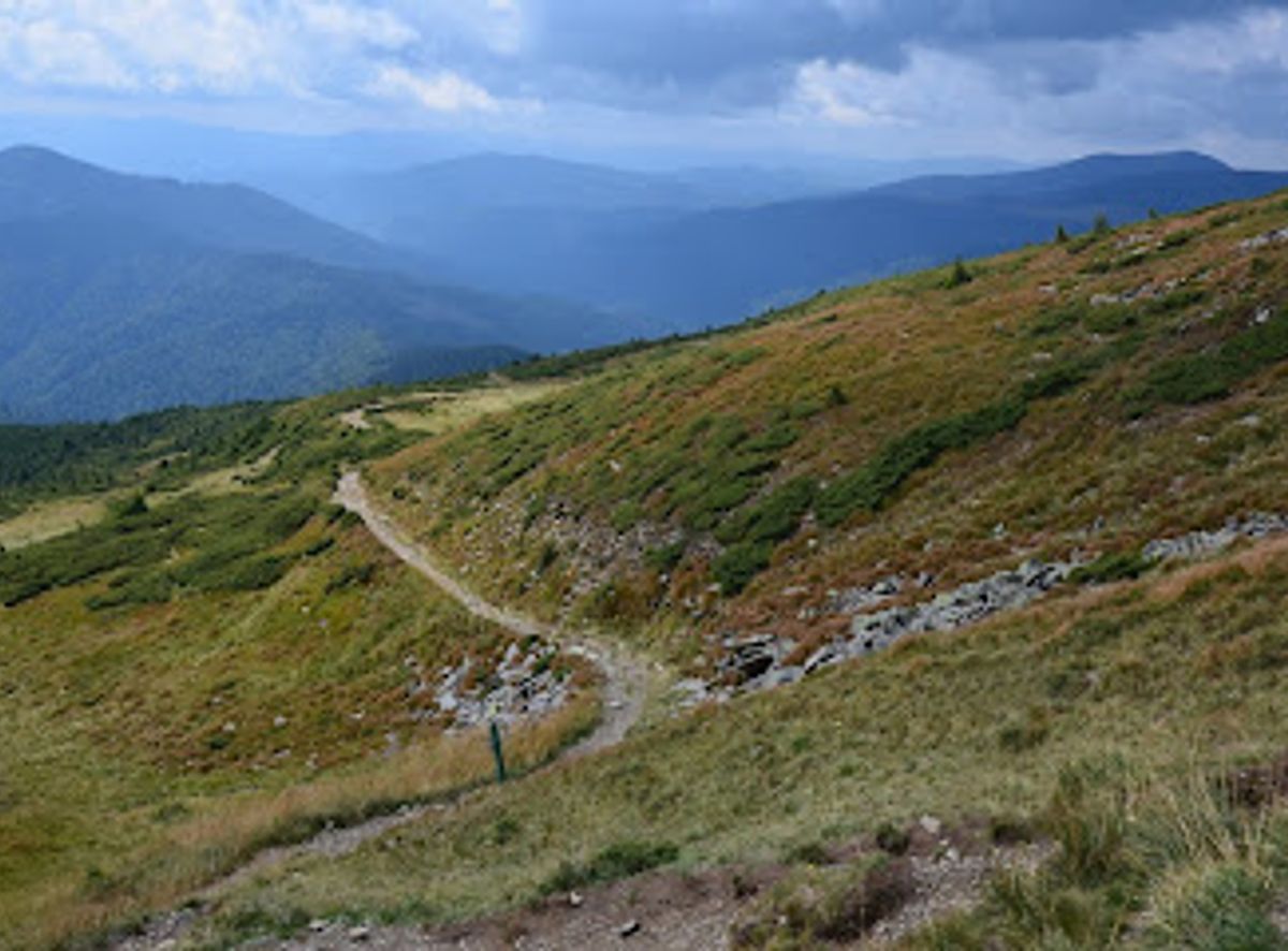
Hiking
After reaching the trailhead in Vorokhta, you will find well-marked paths leading to the summit of Hoverla. The hike is approximately 7 kilometers (about 4.3 miles) and can take about 2-4 hours depending on your fitness level. Be sure to wear proper hiking gear and bring enough water and snacks. The trail can be steep and rocky, so caution is advised. Look out for signs indicating the route to Hoverla peak.
Use Tower Bridge as your starting point for nearby food, family ideas, nightlife, and more local discoveries.

Explore expert travel guides, compare and book tours, experiences, hotels, and more—all from the palm of your hand. Download now for seamless trip planning wherever your wanderlust takes you.
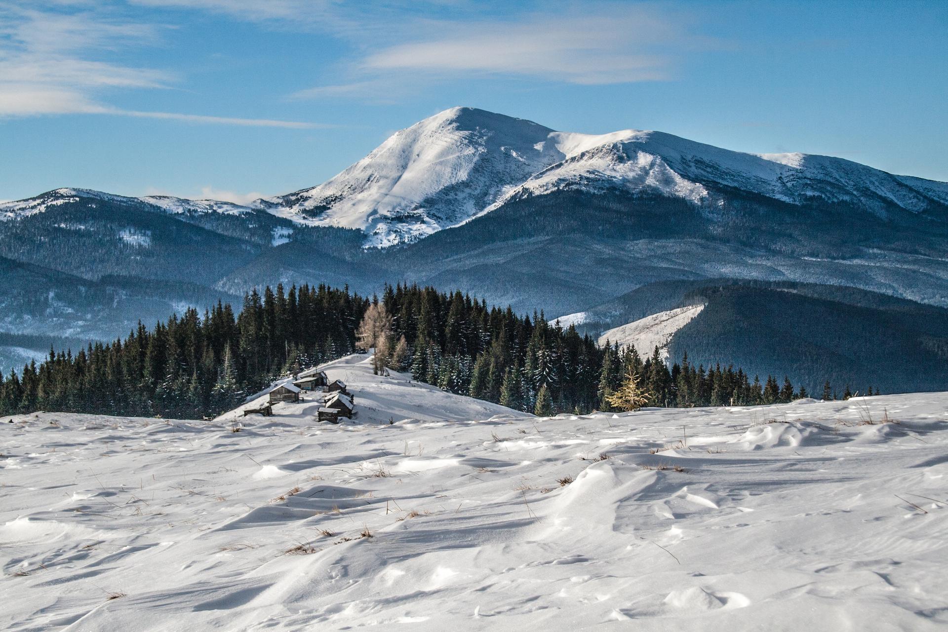
Discover Hoverla Mountain, the highest peak in Ukraine, offering breathtaking views, challenging hikes, and a connection to nature in the heart of the Carpathians.
Tell me more about Hoverla Mountain