
Scafell Pike
England's highest peak: a challenging mountain adventure with war memorial significance and spectacular Lake District views.
England's highest mountain at 978 metres (3,209 feet), Scafell Pike dominates the Lake District landscape as part of the iconic National Three Peaks Challenge. This dramatic peak attracts thousands of hikers annually seeking to conquer its challenging terrain, rocky ridges, and rewarding summit views. Located in the Southern Fells, it stands as a war memorial dedicated to those lost in World War I, managed by the National Trust since 1919.
A brief summary to Scafell Pike
- Seascale, GB
- Duration: 3 to 9 hours
- Free
-
 Outdoor
- Mobile reception: 2 out of 5
Local tips
- Begin early in the day to ensure adequate daylight, especially on longer routes. Winter daylight is limited; summer offers extended hours for safer climbing.
- Carry waterproof clothing, sturdy hiking boots with good grip, and navigation tools. Weather changes rapidly; mist can obscure paths and make navigation treacherous.
- The Wasdale Head route is shortest but steepest; choose the Corridor Route from Seathwaite for a more scenic, less crowded alternative with better views.
- Use trekking poles to reduce strain on knees during steep descents and to improve stability on rocky, loose terrain.
- Respect the mountain's war memorial status and leave no trace; pack out all rubbish and stay on marked paths to protect the landscape.
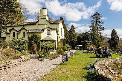
For the on-the-go comforts that matter to you
- Food Options
- Seating Areas
- Picnic Areas
- Information Boards
- Visitor Center
Getting There
-
Car to Wasdale Head Trailhead
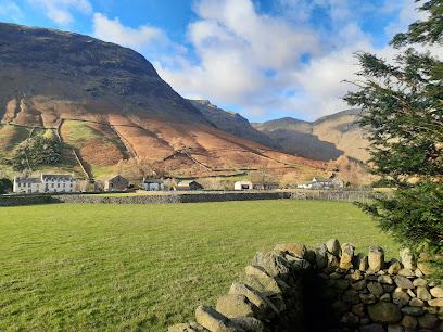
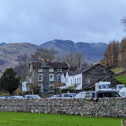
Drive to Wasdale Head National Trust Car Park, located at the northern end of Wast Water in the western Lake District. From Keswick, travel approximately 45 kilometres west via Borrowdale and over Honister Pass (approximately 1.5 hours). From Ambleside, travel approximately 35 kilometres via Langdale and Wrynose Pass (approximately 1.5 hours). The car park has ample parking and is adjacent to Wasdale campsite and Wasdale Head Inn. This is the starting point for the shortest and most popular route to the summit.
-
Car to Seathwaite Trailhead
Drive to Seathwaite Farm in Borrowdale, approximately 15 kilometres south of Keswick (approximately 25 minutes). The farm car park is at the end of the valley road. This trailhead accesses the Corridor Route, considered the most scenic approach, covering approximately 10 miles over 6–8 hours. Alternatively, park at nearby Seathwaite Campsite or use the National Trust car park at Borrowdale. The route passes through the farm and follows established paths up Grains Gill and through high mountain terrain.
-
Car to Eskdale Trailhead
Drive to Wha House National Trust Car Park in Eskdale, approximately 20 kilometres south of Ambleside via Langdale and Wrynose Pass (approximately 1 hour). From the car park, a short walk along a single-track road leads to the disused red telephone box at the foot of Hardknott Pass, the starting point for the Eskdale Route. This is the longest and most remote approach, covering approximately 17 kilometres over 6–7 hours through dramatic valley scenery.
-
Public Transport via Bus
Regional bus services connect Keswick, Ambleside, and surrounding villages to trailhead areas. Services are seasonal and less frequent in winter; typical journey times from Keswick to Wasdale Head area are 1.5–2 hours via connecting services. Journey times from Ambleside to Seathwaite are approximately 45 minutes to 1 hour. Check local transport providers for current timetables and services, as frequency varies by season. This option requires careful planning to ensure adequate daylight hours for the climb.
Scafell Pike location weather suitability
-
 Clear Skies
-
 Cold Weather
-
 Mild Temperatures
Discover more about Scafell Pike
England's Highest Summit and Its Geological Significance
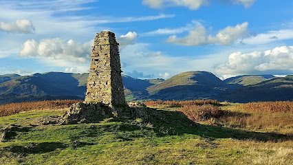
Scafell Pike rises to 978 metres (3,209 feet) above sea level, making it the highest and most prominent mountain in England. Composed of volcanic and sedimentary rocks from the Borrowdale Volcanic Group, this dramatic peak was formed over millions of years and represents an extinct volcano. The mountain is part of the Scafell massif and belongs to the Southern Fells range within the Lake District National Park. Its summit is marked by a massive cairn over 3 metres high, beneath which lies the true highest point of the mountain. Broad Crag Tarn, situated at approximately 820 metres on the southern slopes, holds the distinction of being England's highest standing water body.A War Memorial and National Trust Treasure
Scafell Pike was donated to the National Trust in 1919 as a memorial to the men of the Lake District who lost their lives during World War I. This designation transformed the mountain into a place of remembrance and conservation, ensuring its protection for future generations. The National Trust's stewardship has preserved the mountain's character while managing the substantial visitor traffic it receives throughout the year. This heritage status adds profound meaning to every ascent, connecting climbers to the historical significance of the landscape they traverse.The National Three Peaks Challenge Icon
Scafell Pike forms one of three British peaks in the National Three Peaks Challenge, alongside Ben Nevis in Scotland and Snowdon in Wales. Though the smallest of the three peaks, it remains a formidable objective within the 24-hour challenge framework. The mountain's prominence extends over 90 miles, meaning no higher ground exists for that entire distance in any direction. This geographical distinction underscores its commanding position within the English landscape and its appeal to mountaineers seeking to test themselves against Britain's highest summits.Multiple Routes for Varying Abilities
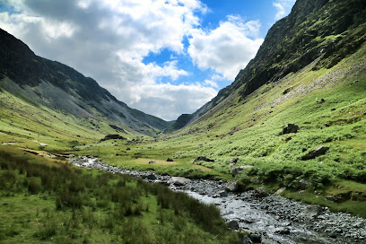
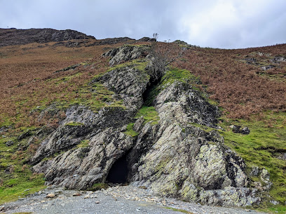
Five primary routes ascend Scafell Pike, each offering distinct experiences and difficulty levels. The Wasdale Head route represents the shortest and most popular approach, covering approximately 6 miles round trip with 989 metres of ascent in 3–4 hours. Though marketed as the "Tourist Route," its steep, rocky terrain demands good fitness and mountain awareness. The Corridor Route from Seathwaite stretches 10 miles over 6–8 hours, providing more scenic vistas and considered the most rewarding for intermediate climbers. The Eskdale Route covers 11 miles in 7–9 hours through remote, rugged terrain, while the Langdale Route extends 12 miles over 7–9 hours with varied landscapes. A fifth option, the Corridor Route from Wasdale, offers an alternative 7.8-kilometre approach. All routes feature challenging rocky and stony ground, with the final ascents involving scrambling over loose scree and exposed terrain.Challenging Terrain and Weather Considerations
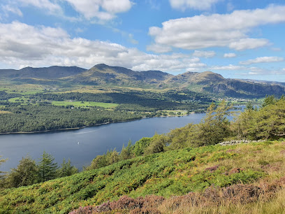
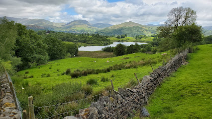
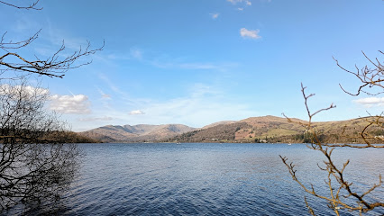
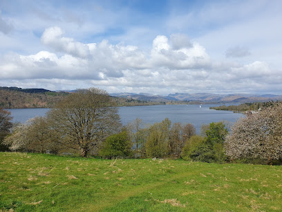
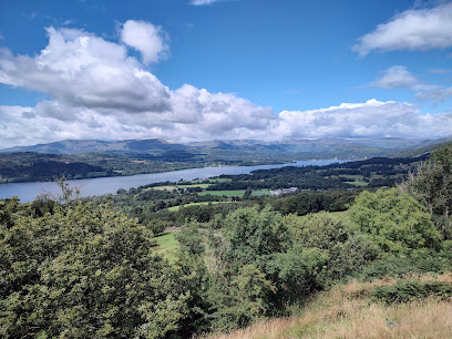
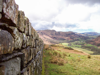
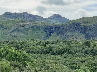
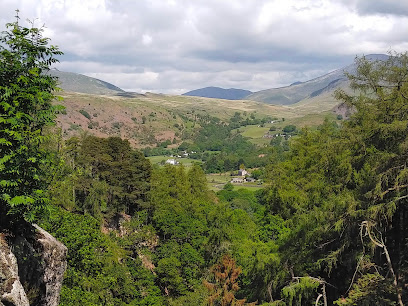
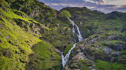
The mountain's terrain becomes increasingly demanding at higher elevations, particularly between Great End and Broad Crag where extensive rocky ground requires careful navigation. The pass from Great End to Broad Crag is notably rocky, and the final ascent to the summit involves steep scree paths and minor scrambling. Weather conditions dramatically affect route difficulty and safety; mist and low visibility can render paths indistinct, while wind and rain increase hazards on exposed ridges. Winter conditions bring snow and ice, transforming the mountain into a serious alpine environment requiring specialist equipment and experience. Clear weather reveals spectacular panoramic views across the Lake District, with visibility extending across multiple valleys and distant peaks.A Landscape of Waterfalls, Tarns, and Wild Beauty
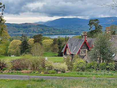
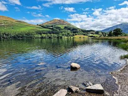
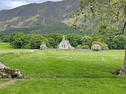
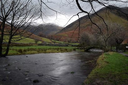
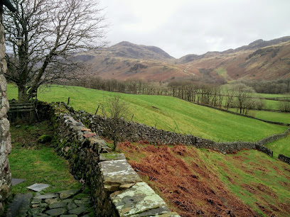
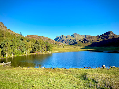
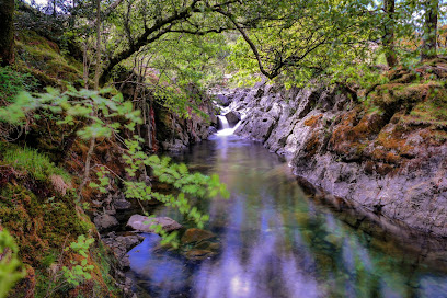
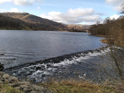
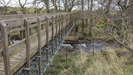
The approaches to Scafell Pike traverse some of the Lake District's most dramatic scenery. Routes pass through picturesque valleys, alongside cascading waterfalls and rushing gills, and across moorland offering sweeping vistas. Sprinkling Tarn and Styhead Tarn sit beneath the Great End Crags, creating striking visual landmarks during ascent. The Borrowdale Valley approach from Seathwaite showcases the region's natural beauty, with the undulating path passing through Seathwaite Farm and crossing the historic Stockley Bridge, a lovely old stone packhorse bridge spanning clear river water. The Eskdale Valley route reveals gorges, waterfalls, and increasingly rugged terrain as elevation increases, culminating in the dramatic final scramble to the summit.Iconic landmarks you can’t miss
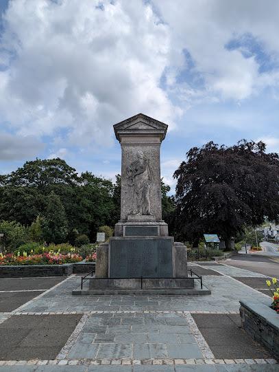
Keswick War Memorial
17.1 km
A solemn Grade II listed monument honoring Keswick’s fallen heroes, set against the tranquil beauty of the Lake District.
Latterbarrow
17.2 km
Explore Latterbarrow: Experience breathtaking views and refreshing hikes in the heart of the Lake District, perfect for nature lovers.
Grizedale
17.8 km
Discover the natural beauty and artistic wonders of Grizedale Forest, a national park filled with adventure and serenity in the Lake District.
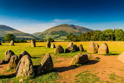
Castlerigg Stone Circle
18.1 km
Explore the ancient Castlerigg Stone Circle in the heart of the Lake District, a historical landmark surrounded by breathtaking landscapes and rich heritage.
Brockhole on Windermere
18.4 km
Explore Brockhole on Windermere, a vibrant visitor centre in the heart of the Lake District offering outdoor adventures, art, and stunning gardens.
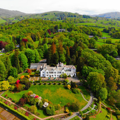
National Trust - Hill Top Beatrix Potter House
19.3 km
Discover the charming Hill Top, Beatrix Potter's historic home, where nature and imagination intertwine in the heart of the Lake District.
National Trust - Hill Top
19.4 km
Explore Hill Top, the historic home of Beatrix Potter, and immerse yourself in the enchanting world that inspired her timeless stories.
National Trust - Townend
19.7 km
Explore the picturesque Townend, a historic farmhouse and garden in the Lake District, where heritage and nature meet in a beautiful setting.
Holehird Gardens
20.5 km
Explore the enchanting Holehird Gardens in the Lake District, a floral paradise offering stunning views and diverse plant collections for all nature lovers.
Windermere and Troutbeck
20.6 km
Historic Lakeland stone cottage with expansive gardens and stunning fells views, nestled at the foot of Troutbeck Valley near Windermere village.
Queen Adelaide's Hill
20.6 km
Discover Queen Adelaide's Hill, a breathtaking viewpoint in the Lake District, offering stunning vistas of Windermere and lush landscapes.
National Trust - Claife Viewing Station and Windermere West Shore
20.8 km
Discover breathtaking views and historical charm at the Claife Viewing Station, a must-visit attraction on the shores of Windermere.
Lake District
21.1 km
Explore the natural wonders of the Lake District, a UNESCO World Heritage Site with captivating lakes, scenic hikes, and charming villages.
Mirehouse & Gardens
21.2 km
Explore Mirehouse & Gardens: A tranquil escape in the Lake District, blending beautiful gardens, rich history, and breathtaking views of nature.
Orrest Head Viewpoint
21.3 km
Discover the stunning vistas of Windermere at Orrest Head Viewpoint, a must-visit in the English Lake District for nature enthusiasts and photographers.
Unmissable attractions to see
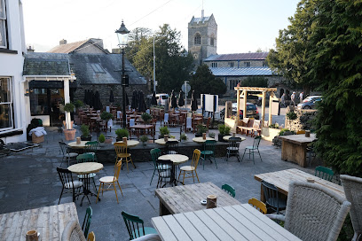
Wasdale Head
3.3 km
Explore England’s highest peaks and deepest lake from the tranquil, rugged heart of Wasdale Head in the Lake District.
Ritson's Force
3.6 km
Discover the tranquil beauty of Ritson's Force, a charming waterfall nestled among England’s highest peaks in the Lake District.
Eskdale
5.2 km
Discover Eskdale, a breathtaking Lake District valley of towering peaks, historic trails, and serene natural beauty in Cumbria, England.
Hardknott Roman Fort & Thermae.
5.7 km
Explore one of Britain’s most remote Roman forts perched high in the Lake District with stunning valley views and evocative ruins.
Bird How
6.2 km
A remote, rustic Lake District cottage offering peaceful off-grid retreat and prime access to challenging hiking routes in Eskdale Valley.
Honister Slate Mine
6.4 km
Explore England’s last working slate mine with thrilling adventures and rich heritage amid stunning Lake District landscapes.
Eskdale Mill
7.2 km
Step back in time at Eskdale Mill, the Lake District’s last working water-powered corn mill with historic machinery and scenic riverside charm.
Blea Tarn, Lake District National Park
8.0 km
A serene mountain tarn nestled between Langdale valleys, offering iconic views of the Langdale Pikes and tranquil natural beauty.
Lake District National Park
8.0 km
Explore England’s largest national park, where majestic mountains, tranquil lakes, and rich literary heritage create an unforgettable natural and cultural journey.
Galleny Force Waterfall
8.2 km
Discover the enchanting Galleny Force Waterfall, a tranquil mossy gorge with crystal-clear pools nestled in Borrowdale Valley’s stunning natural landscape.
Stanley Ghyll Waterfall
8.7 km
Discover Stanley Ghyll Waterfall’s breathtaking 60-foot cascade nestled in Eskdale’s lush, fern-filled ravine, a Lake District natural gem.
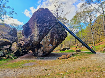
Bowder Stone
10.0 km
A towering 2,000-ton glacial boulder steeped in Norse legend and Lake District history, inviting climbers and nature lovers alike.
Moss Force Waterfall
10.4 km
Discover the breathtaking 100-meter cascades of Moss Force, a serene yet powerful waterfall nestled in the heart of England’s Lake District.
Goldscope Mine
11.3 km
Explore the historic copper and lead mining legacy nestled in the scenic Lake District’s Newlands Valley.
The Lancrigg
11.6 km
Historic Lake District charm meets scenic romance at The Lancrigg, a timeless wedding venue nestled in Grasmere’s stunning fells.
Essential places to dine
Old Dungeon Ghyll Hotel Great Langdale
7.1 km
A welcoming climbers’ inn with traditional charm, hearty fare, and stunning mountain views in the heart of Great Langdale.
New Dungeon Ghyll - Langdale
8.0 km
Rustic hotel and lively bar nestled in Langdale Valley, perfect for walkers seeking comfort and community in the Lake District.
Stove Restaurant & Bar
11.2 km
Relaxed dining with wood-fired pizzas and seasonal dishes in the heart of the Lake District’s Great Langdale.
The Jumble Room
12.0 km
Vibrant bohemian restaurant in Grasmere serving creative international dishes with local Cumbrian produce in a lively, eclectic setting.
Drunken Duck Inn & Barngates Brewery
14.7 km
A charming Lake District inn blending hearty cuisine, on-site brewed ales, and cozy accommodation in a rustic country setting.

Dodds Restaurant
16.2 km
Authentic Italian and modern European cuisine served with warmth in the heart of Ambleside’s scenic Lake District.
Lucy's on a plate
16.3 km
A vibrant English bistro in Ambleside blending local flavors with eclectic style and a welcoming atmosphere.
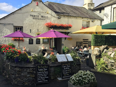
The Priest Hole Restaurant
16.3 km
Historic charm meets hearty British cuisine in the heart of Ambleside, with locally sourced dishes and a welcoming atmosphere.
The Old Stamp House Restaurant
16.3 km
Experience a Michelin-starred culinary journey through Cumbria’s rich heritage in the historic heart of Ambleside.
Lake Road Kitchen
16.3 km
An intimate Michelin-starred restaurant in Ambleside blending Nordic flair with Lake District’s finest local produce.
The Cottage In The Wood
17.2 km
Michelin-starred fine dining nestled in Whinlatter Forest with cozy rooms and stunning views of the Lake District’s Skiddaw mountains.
The Samling Hotel
17.4 km
Exclusive boutique hotel perched above Lake Windermere, blending Michelin-star dining, elegant suites, and breathtaking panoramic views.
Blue Smoke on the Bay
17.7 km
Experience exquisite wood-fired cuisine with stunning Lake Windermere views at Blue Smoke on the Bay, Low Wood Bay's stylish lakeside restaurant.
Windermere Restaurant (The W)
17.8 km
Seasonal British and continental cuisine with stunning panoramic views over Lake Windermere at Low Wood Bay Resort & Spa.

The Gaddum
18.4 km
Elegant dining and refined afternoon tea in a historic Arts and Crafts setting overlooking Brockhole's gardens on Windermere.
Markets, malls and hidden boutiques
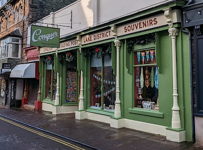
CONQUER Trading Post
16.8 km
Discover authentic Lake District spirit through unique patches, crafts, and gifts at Keswick’s vibrant Conquer Trading Post.
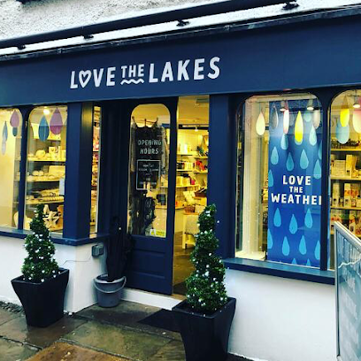
Love the Lakes Keswick
17.0 km
Discover unique Lake District gifts and local crafts in the heart of Keswick’s charming market town.
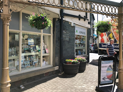
Alternative
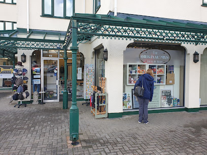
17.0 km
Discover original gifts and Lake District treasures at Alternative, Keswick’s beloved family-run gift and interiors shop.
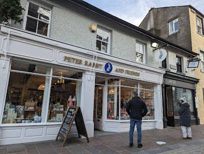
Peter Rabbit & Friends Ltd
17.0 km
Step into a storybook world at Peter Rabbit & Friends Ltd, Keswick’s enchanting toy shop and café inspired by Beatrix Potter’s beloved characters.
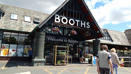
Booths, Keswick
17.0 km
A premium supermarket and café in Keswick, offering local Lake District produce, fresh counters, and community-focused shopping.
Tesco Express
21.3 km
Your convenient, friendly supermarket stop in Bowness-on-Windermere, open daily with fresh local produce and essentials for every visit.
Mountain Warehouse
21.3 km
Your go-to outdoor clothing and equipment store in Bowness, offering quality gear for all your Lake District adventures.

The Original Man Shop
21.4 km
A distinctive men's gift and fashion boutique offering style and charm in the heart of Bowness-on-Windermere.
Love the Lakes Bowness
21.4 km
Locally crafted gifts celebrating the spirit and beauty of England's Lake District.
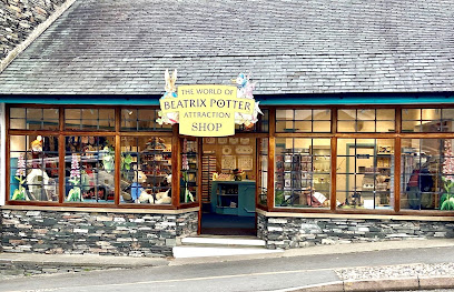
World of Beatrix Potter Attraction Shop
21.4 km
Discover gifts and memorabilia inspired by Beatrix Potter's beloved characters in the heart of Bowness-on-Windermere.
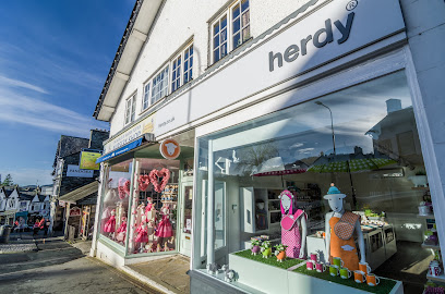
Herdy Bowness
21.4 km
Whimsical Lake District gifts celebrating the beloved Herdwick sheep with quality, character, and charm.
Lonsdale Galleries
21.4 km
Discover unique Lake District gifts and local crafts in a spacious, welcoming gallery at the heart of Bowness-on-Windermere.
LAKELAND Leather
21.4 km
Discover handcrafted leather elegance and timeless style at Lakeland Leather in Bowness-on-Windermere, where tradition meets the Lake District spirit.
Pretty Things
21.4 km
Discover stylish ladies' fashion and warm hospitality at Pretty Things, a charming boutique in the heart of Bowness-on-Windermere.
Forget Me Not
21.5 km
Discover unique gifts and local treasures at Forget Me Not, Windermere’s charming boutique in the heart of the Lake District.
Essential bars & hidden hideouts
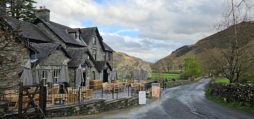
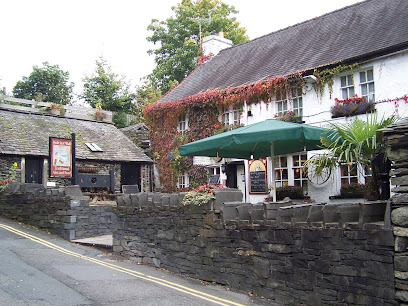
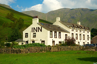
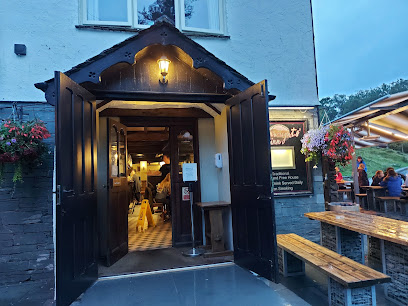
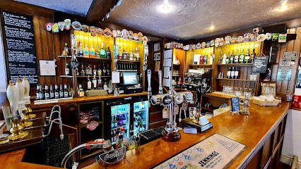
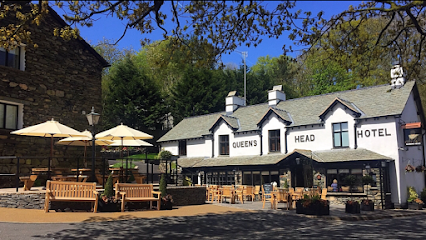
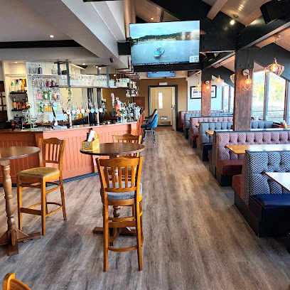
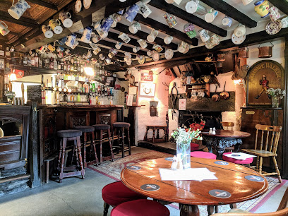
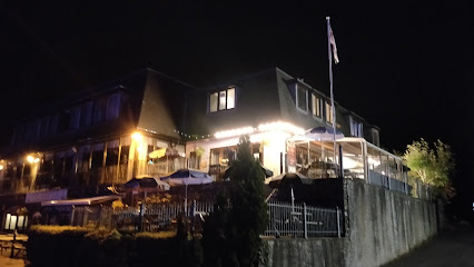
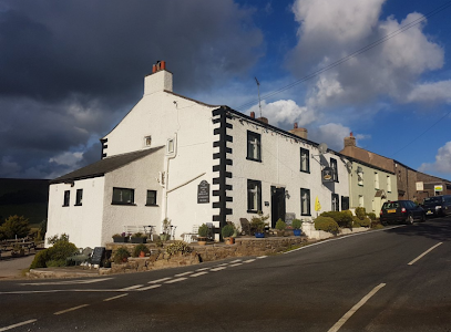
Ritson's Bar (Wasdale Head Inn)
3.3 km
Historic mountain pub at the foot of England’s highest peak, offering real ales, hearty food, and stunning Lake District views.
Wainwrights' Inn
10.8 km
A traditional Lakeland pub in Chapel Stile offering hearty local fare, fine ales, and a warm welcome near the Langdale Estate.
The Talbot Bar
13.3 km
Cozy Lakeland pub with hearty traditional fare, local ales, and a warm, dog-friendly atmosphere near Ambleside.
The Vault
16.3 km
Historic charm meets fresh cocktails and tapas in Ambleside’s vibrant social hub, The Vault.
The Lily Bar
16.4 km
Ambleside’s independent bar blending rustic charm, local ales, live music, and quality dining in the heart of the Lake District.

Lake District Cocktail Co.
19.1 km
Experience the art of cocktail crafting in the stunning Lake District with Lake District Cocktail Co., a mobile catering service that brings the bar to you.

Ramblers Bar and the Candleroom
19.7 km
A charming lakeside pub and restaurant in Glenridding with scenic views, friendly service, and a welcoming atmosphere for all visitors.
Queens Head, Troutbeck
20.1 km
Historic Lake District pub and inn offering hearty fare, local ales, and cosy rooms with stunning Troutbeck Valley views.
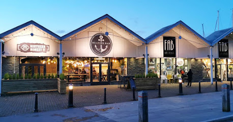
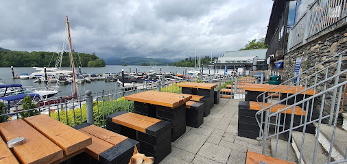
Boaters Bar
21.1 km
Lake District’s premier lakeside bar offering craft beers, live entertainment, family fun, and stunning views over Lake Windermere.
Quayside Bowness
21.1 km
Lakeside bar and kitchen with stunning views, live sports, and vibrant nightlife across three lively floors in Bowness-on-Windermere.
The Lake View Bowness
21.2 km
A welcoming lakeside pub in Bowness-on-Windermere offering stunning views, hearty fare, and classic English charm.
Hole in t' Wall
21.3 km
Historic Lakeland pub offering hearty food, cask ales, and a cozy atmosphere in the heart of Bowness-on-Windermere.
The Easy Breeze
21.3 km
A vibrant bar and restaurant blending Lakeland charm, live music, and flavorful street food in the heart of Bowness-on-Windermere.
Lago
21.3 km
Lago is a lively bar in Bowness-on-Windermere known for its quality cocktails, sharing platters, and welcoming atmosphere near the heart of the Lake District.

Village Inn Bowness-On-Windermere
21.3 km
A welcoming traditional pub in Bowness-on-Windermere offering local ales, hearty British fare, live sports, and a spacious beer garden.
Nightclubs & after hour spots
Wheelhouse Nightclub
21.1 km
Experience vibrant weekend nightlife with dynamic music, drinks, and dancing at Wheelhouse Nightclub in scenic Bowness-on-Windermere.
Windermere Social Club
21.5 km
A friendly and versatile social club in Windermere offering games, sports viewing, and community events in a welcoming atmosphere.
The loose moose
37.7 km
A lively and welcoming nightclub in Penrith offering cocktails, music, and community spirit in the heart of Cumbria’s Eden District.

The Lounge C9
37.8 km
Experience Barrow-in-Furness’ vibrant nightlife at The Lounge C9, where music, drinks, and community come alive every weekend.

Manhattans Nightclub
37.9 km
Barrow-in-Furness’s top nightclub for themed parties, DJ nights, and vibrant late-night entertainment on Cavendish Street.

Hollywood Nightclub
37.9 km
Experience the vibrant late-night pulse of Barrow-in-Furness at Hollywood Nightclub, where music and dance light up Cavendish Street.

secret bridge
50.1 km
Experience vibrant nightlife and lively music at Secret Bridge, Milburn’s premier nightclub near Penrith in the scenic Eden District.
Secret Carlisle
51.8 km
Experience energetic nights and vibrant music at Secret Carlisle, the city centre nightclub where Carlisle’s historic charm meets modern nightlife.

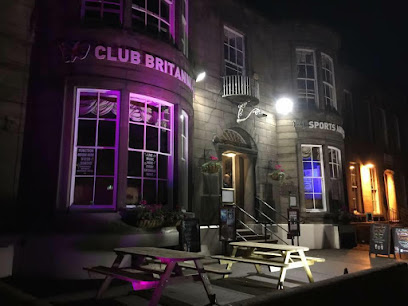
Club Britannia
52.0 km
A vibrant social club in Carlisle offering live music, friendly vibes, and affordable drinks in a smart, welcoming setting.
Carlisle R A O B Club
52.2 km
Historic social club in Carlisle offering lively events and a welcoming atmosphere rooted in the Royal Antediluvian Order of Buffaloes tradition.
Black Box Music Institute
52.2 km
An intimate old-style nightclub and cultural hub in Carlisle offering live music, festivals, and art exhibitions in a vibrant setting.

The Moorcock Inn
59.8 km
Discover the charm of The Moorcock Inn in Sedbergh, where cozy accommodations meet delicious local cuisine amidst breathtaking Yorkshire Dales views.
Hawes Club
67.9 km
Discover the charm of Hawes Club, a cozy bar offering affordable drinks and a welcoming atmosphere in the heart of Yorkshire's stunning Dales.
The Tides Inn
68.6 km
Discover the charm of The Tides Inn, a cozy pub in Kirkcudbright offering delicious food, local drinks, and a welcoming atmosphere for all tourists.
The Steamie
68.7 km
Experience the warmth of Scottish hospitality at The Steamie, a charming pub in the heart of Kirkcudbright offering local ales and a cozy atmosphere.

For the vibe & atmosphere seeker
- Adventurous
- Adrenaline-pumping
- Scenic
- Unique
For the architecture buff
- Historic
- Landmarks
- Sacred Sites
For the view chaser and sunset hunter
- Iconic Views
- Panoramas
- Sunrise Spots
- Sunset Spots
For the social media creator & influencer
- Instagrammable
- Photo Spots
- Architectural Shots
For the eco-conscious traveler
- Protected Area
- Nature Reserve
- National Park
- Leave-No-Trace Critical
- Locally Managed
- Wildlife Habitat
For the kind of experience you’re after
- Adventure Photo Shoot
- Nature Escape
- Day Trip
- Weekend Getaway
- Myth & Legends
- Cultural Heritage
For how adventurous you want the journey to be
- Requires Hike
- High Altitude
- Physically Demanding
- Seasonal Only
Location Audience
- Family Friendly
- Senior Friendly
- Teen Friendly
- Solo Friendly
- Couple Friendly
- Solo Female Friendly


